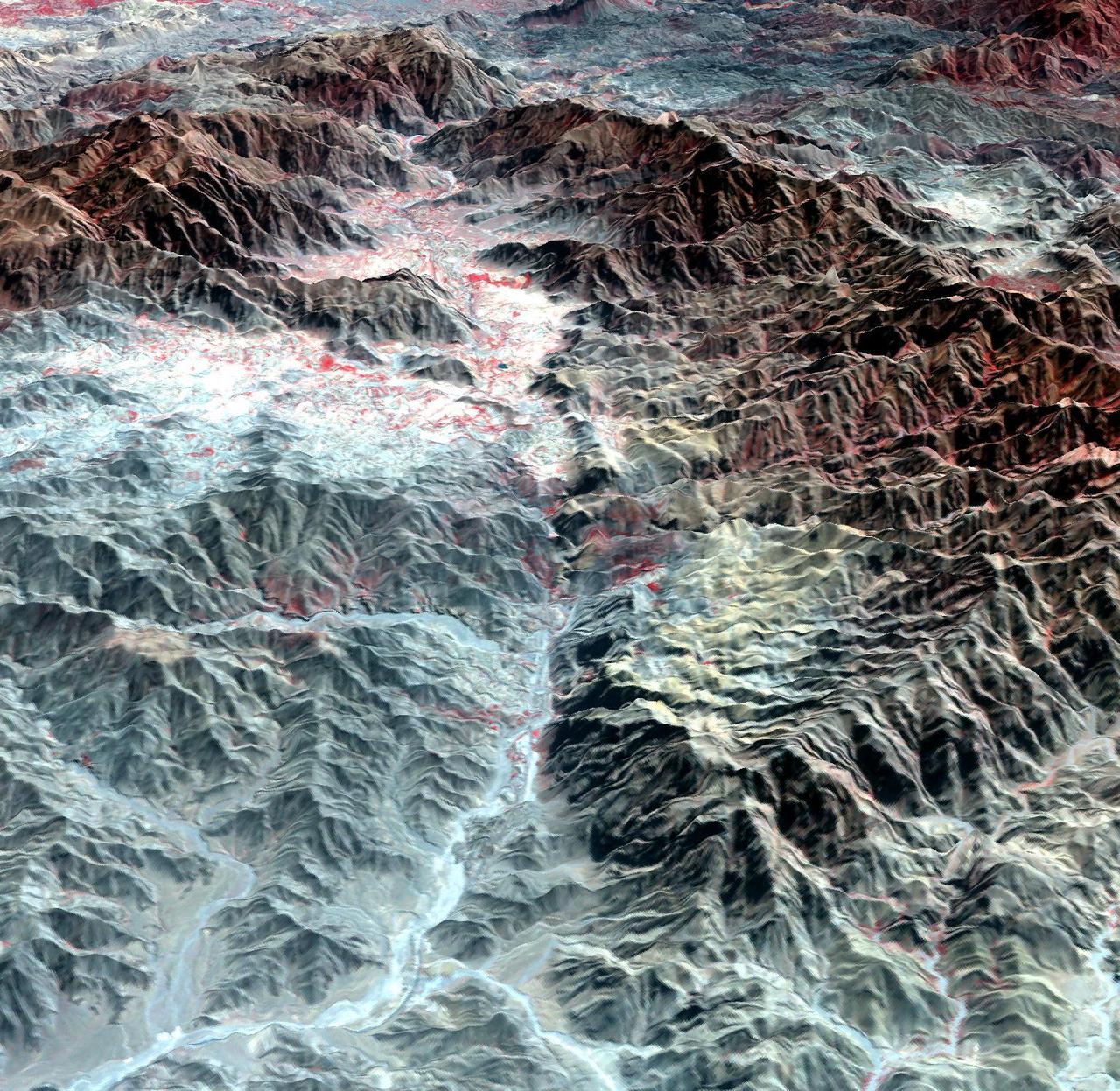
The ASTER instrument onboard NASA Terra spacecraft imaged the Khyber Pass, a mountain pass that links Afghanistan and Pakistan. Throughout its history it has been an important trade route between Central Asia and South Asia.
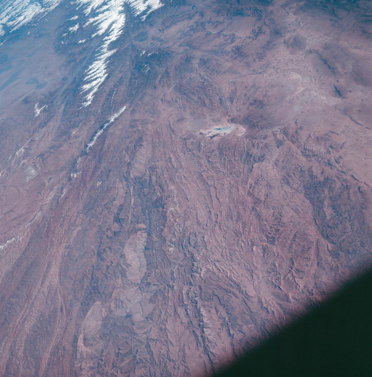
AS7-05-1667 (13 Oct. 1968) --- Kabul, Afghanistan area as seen from the Apollo 7 spacecraft during its 39th revolution of Earth. Photographed from an altitude of 127 nautical miles, at ground elapsed time of 61 hours and 20 minutes. Also, visible in picture are the Panjshir River and the Koh-i-Baba Mountains.
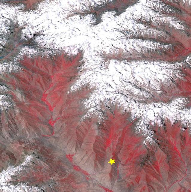
On Oct. 26, 2015, NASA Terra spacecraft acquired this image of northeastern Afghanistan where a magnitude 7.5 earthquake struck the Hindu Kush region. The earthquake's epicenter was at a depth of 130 miles (210 kilometers), on a probable shallowly dipping thrust fault. At this location, the Indian subcontinent moves northward and collides with Eurasia, subducting under the Asian continent, and raising the highest mountains in the world. This type of earthquake is common in the area: a similar earthquake occurred 13 years ago about 12 miles (20 kilometers) away. This perspective image from the Advanced Spaceborne Thermal Emission and Reflection Radiometer (ASTER) instrument on NASA's Terra spacecraft, looking southwest, shows the hypocenter with a star. The image was acquired July 8, 2015, and is located near 36.4 degrees north, 70.7 degrees east. http://photojournal.jpl.nasa.gov/catalog/PIA20035
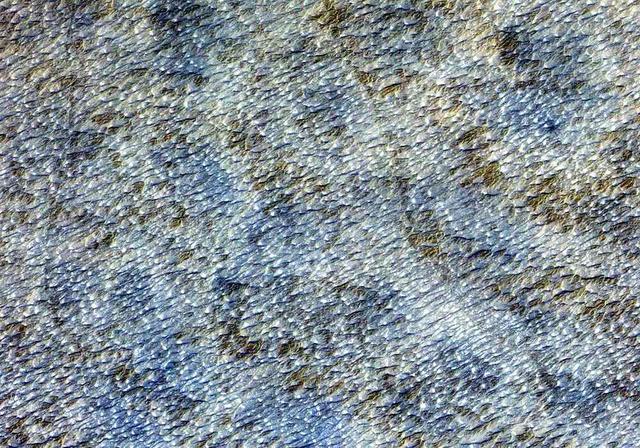
This ASTER image covers an area of 10.5 x 15 km in southern Afghanistan and was acquired on August 20, 2000. The band 3-2-1 composite shows part of an extensive field of barchan sand dunes south of Kandahar. The shape of the dunes indicates that the prevailing wind direction is from the west. The image is located at 30.7 degrees north latitude and 65.7 degrees east longitude. http://photojournal.jpl.nasa.gov/catalog/PIA11099
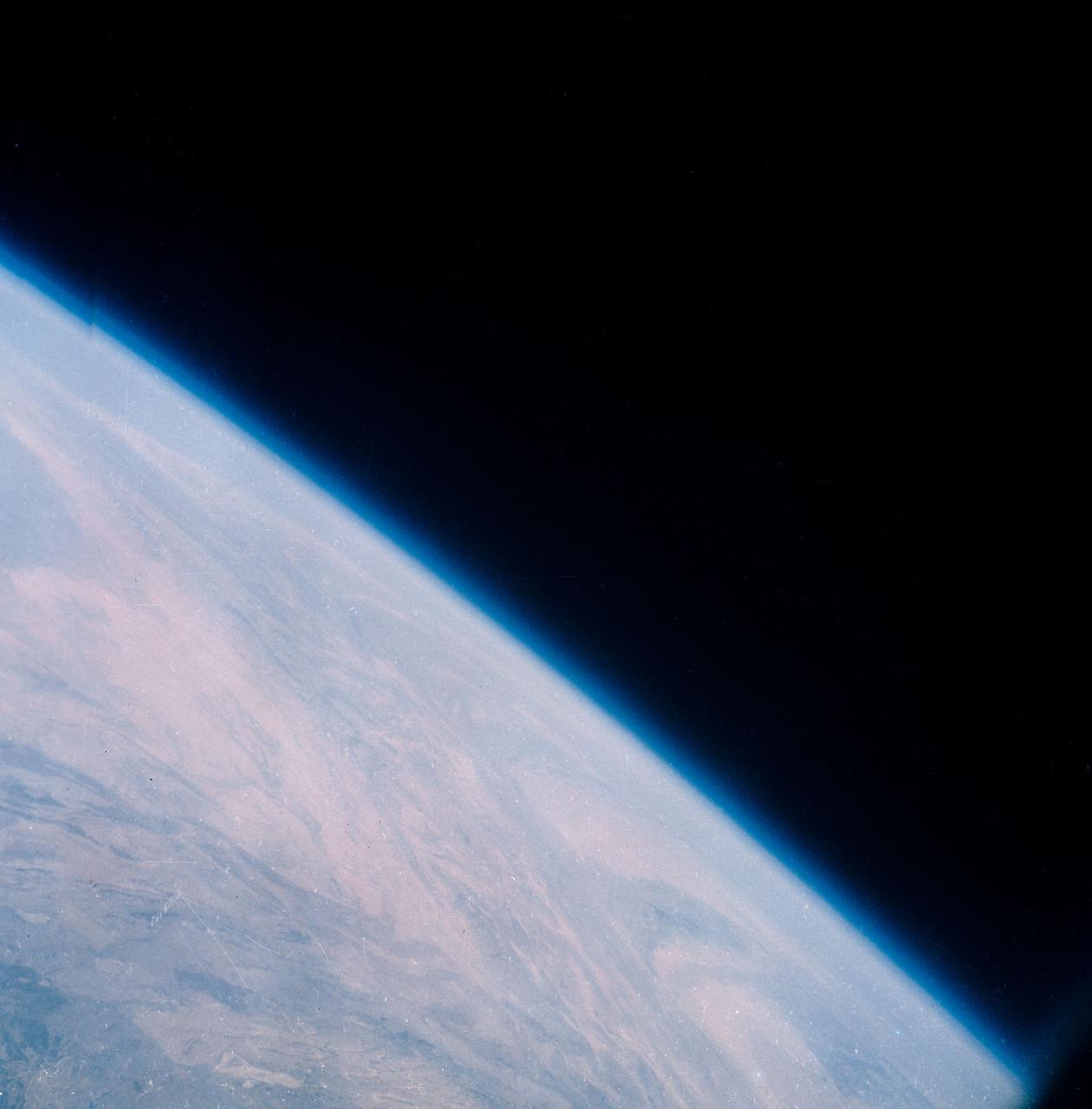
S63-06443 (15-16 May 1963) --- A northwest-looking view across Pakistan, eastern Iran and Afghanistan as photographed from the Mercury-Atlas 9 (MA-9) capsule by astronaut L. Gordon Cooper Jr., during his 22-orbit MA-9 spaceflight. Photo credit: NASA
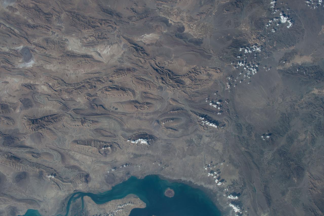
GMT352_11_24_Terry Virts_mideast afghanistan himalayas moon_129
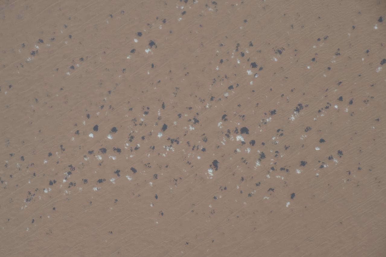
GMT352_11_24_Terry Virts_mideast afghanistan himalayas moon_129
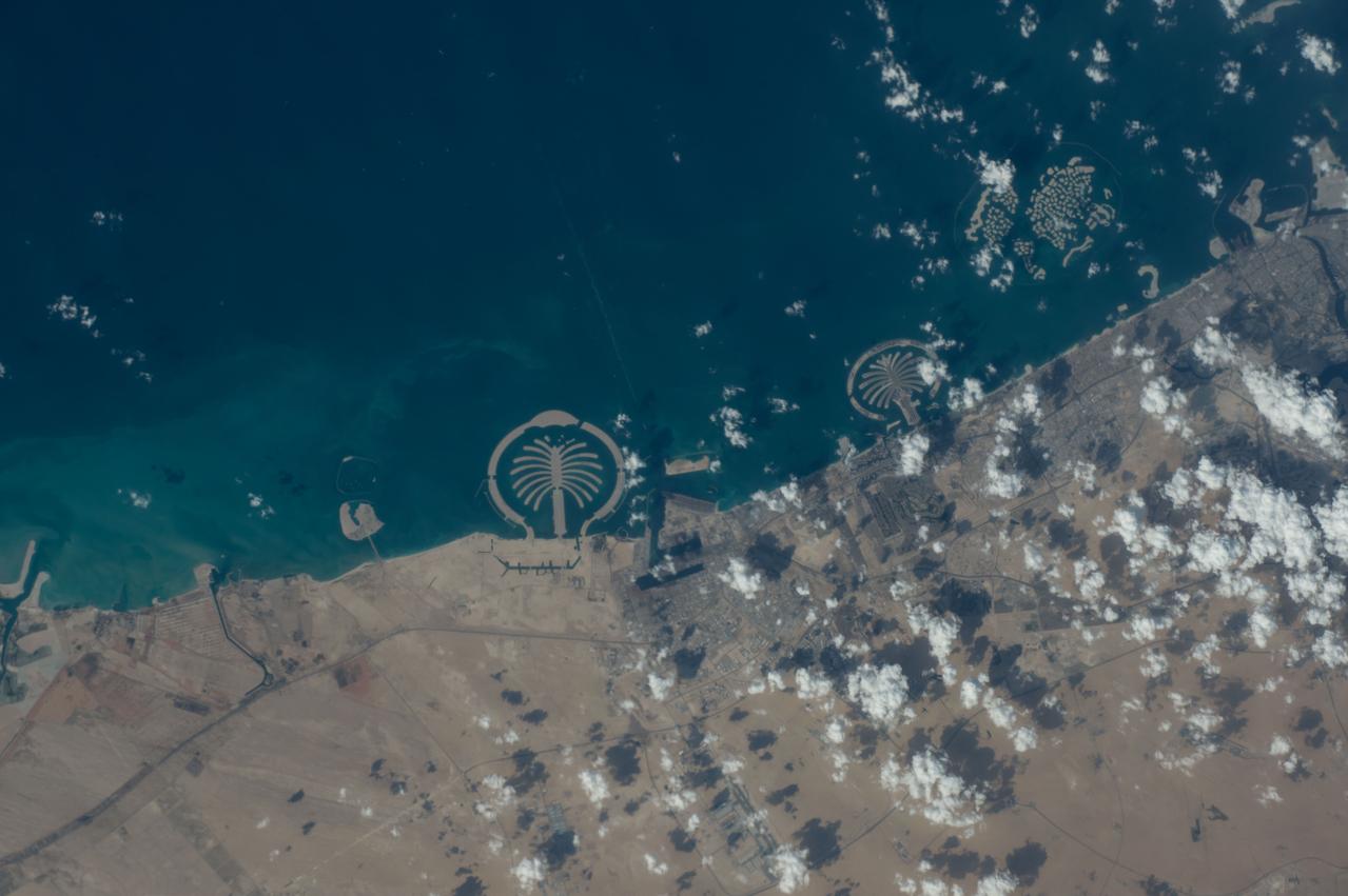
GMT352_11_24_Terry Virts_mideast afghanistan himalayas moon_129
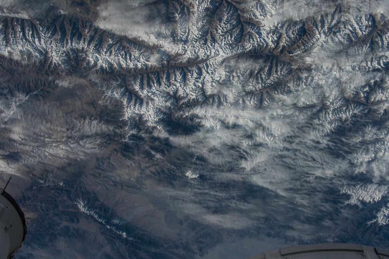
GMT352_11_24_Terry Virts_mideast afghanistan himalayas moon_129
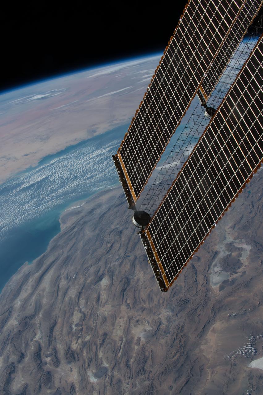
GMT352_11_24_Terry Virts_mideast afghanistan himalayas moon_129
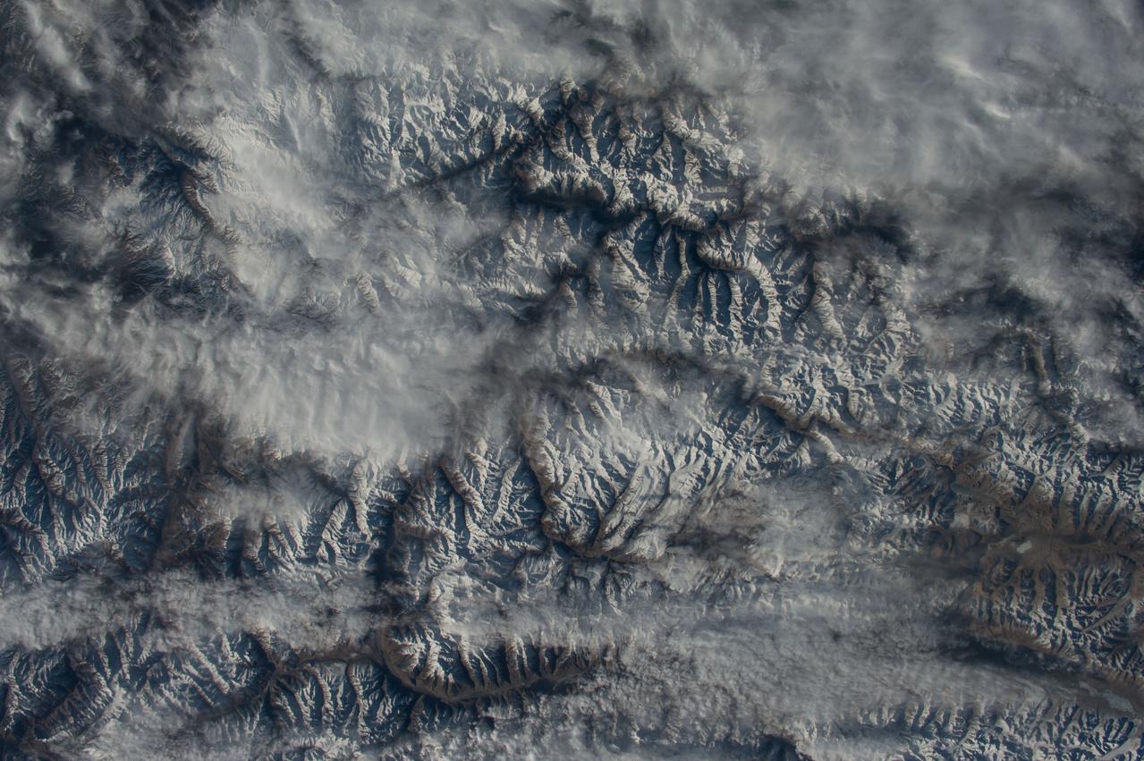
GMT352_11_24_Terry Virts_mideast afghanistan himalayas moon_129

GMT352_11_24_Terry Virts_mideast afghanistan himalayas moon_129
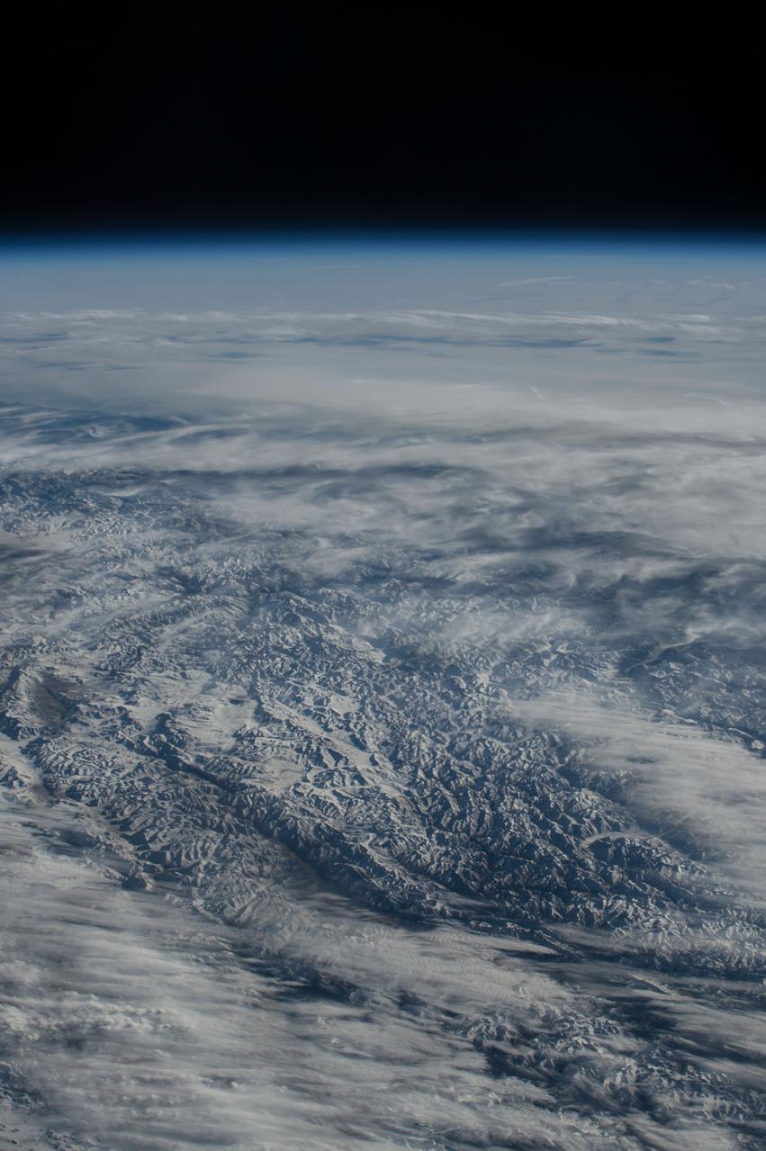
GMT352_11_24_Terry Virts_mideast afghanistan himalayas moon_129
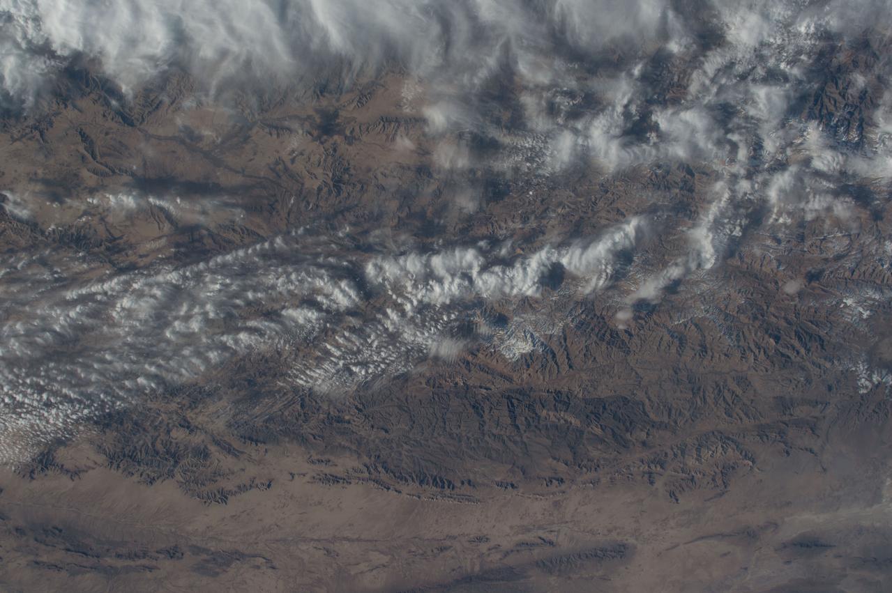
GMT352_11_24_Terry Virts_mideast afghanistan himalayas moon_129
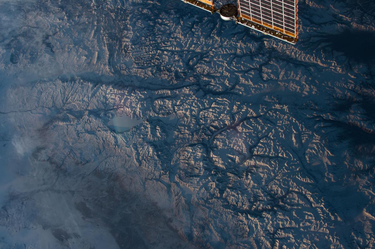
GMT352_11_24_Terry Virts_mideast afghanistan himalayas moon_129
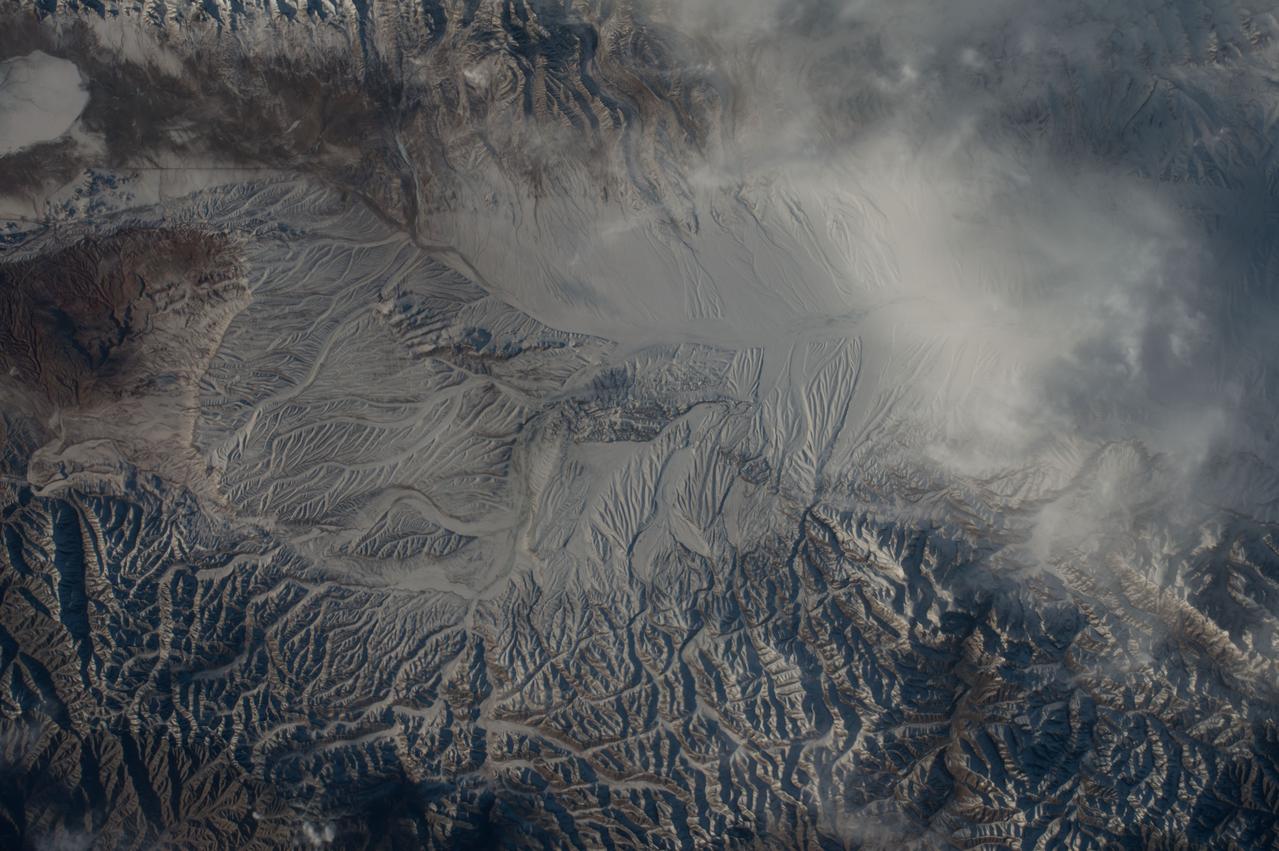
GMT352_11_24_Terry Virts_mideast afghanistan himalayas moon_129
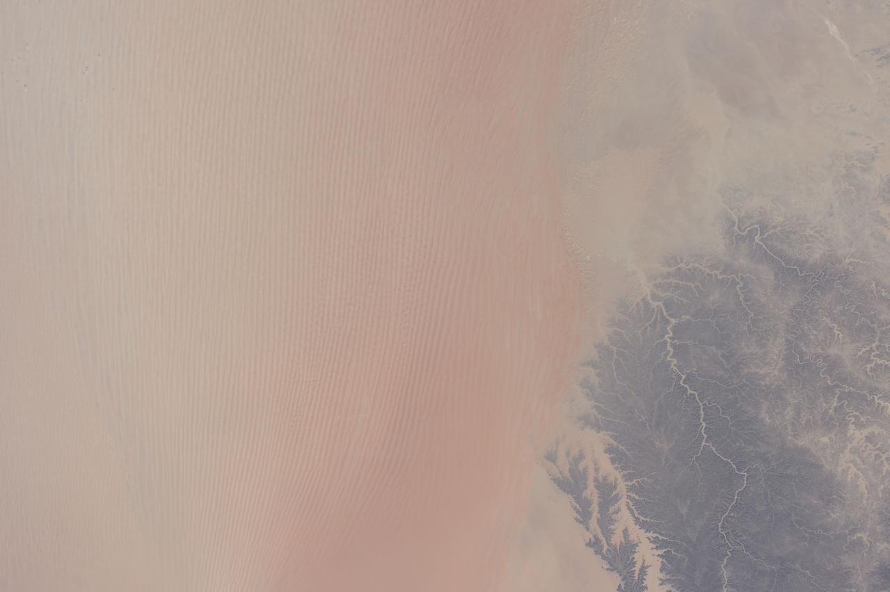
GMT352_11_24_Terry Virts_mideast afghanistan himalayas moon_129
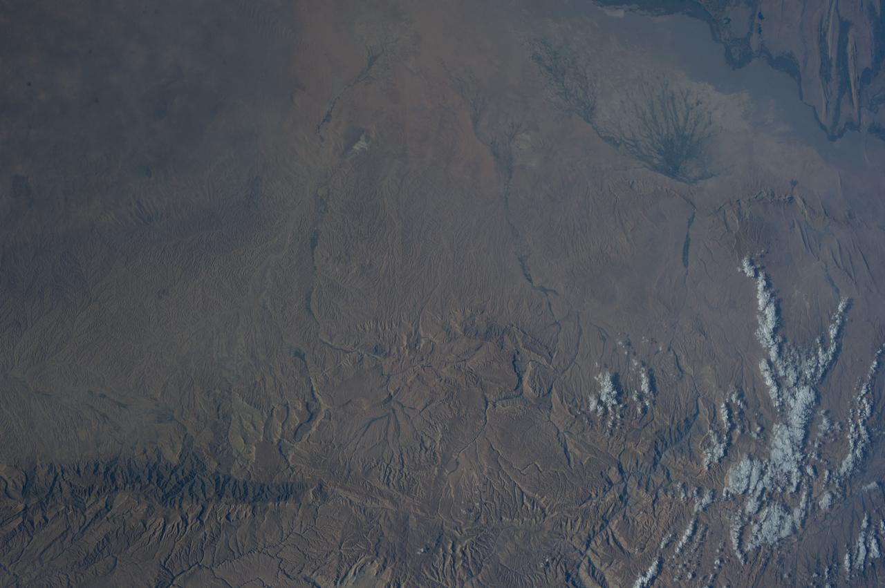
Earth observation taken during a day pass by an Expedition 36 crew member on board the International Space Station (ISS). Per Twitter message: Northern Afghanistan.
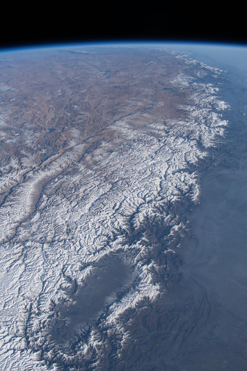
iss070e091714 (Feb. 10, 2024) --- The Kashmir Valley (bottom) and the Himalayas are pictured from the International Space Station as it orbited 261 miles above the Afghanistan-Pakistan border.
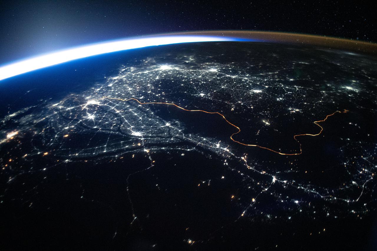
iss065e385549 (Sept. 15, 2021) --- The International Space Station was orbiting 263 miles above Afghanistan when this photograph was taken of the city lights of Pakistan and India and the well-lit border separating both countries.
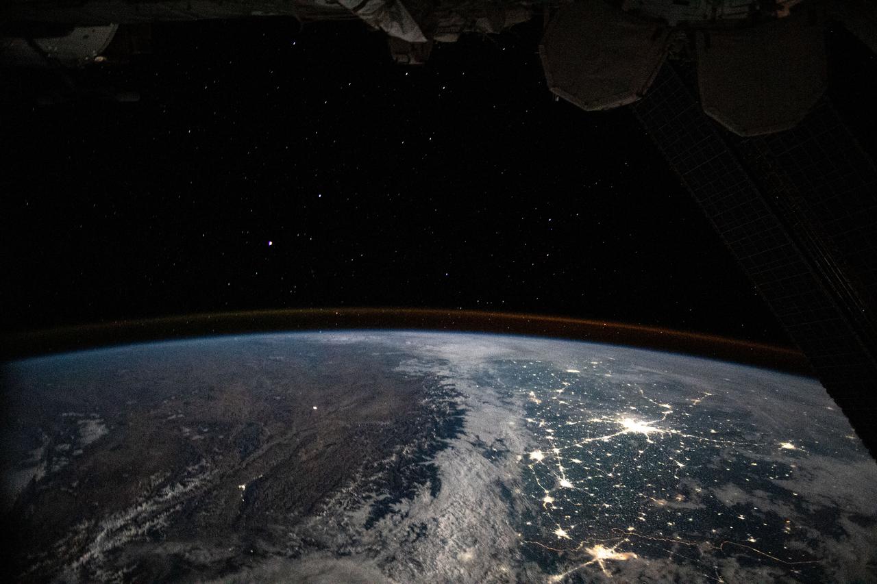
iss063e081399 (Aug. 31, 2020) --- The International Space Station was orbiting above Afghanistan during an orbital night period when an Expedition 63 crew member photographed the well-lit, highly populated areas of Pakistan and northern India.
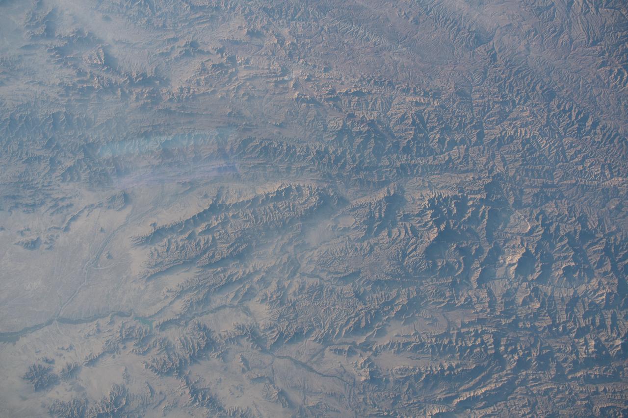
iss061e006541 (Oct. 15, 2019) --- The arid, mountainous region of Helmand Province in Afghanistan is pictured as the International Space Station orbited 253 miles above the central Asian nation.
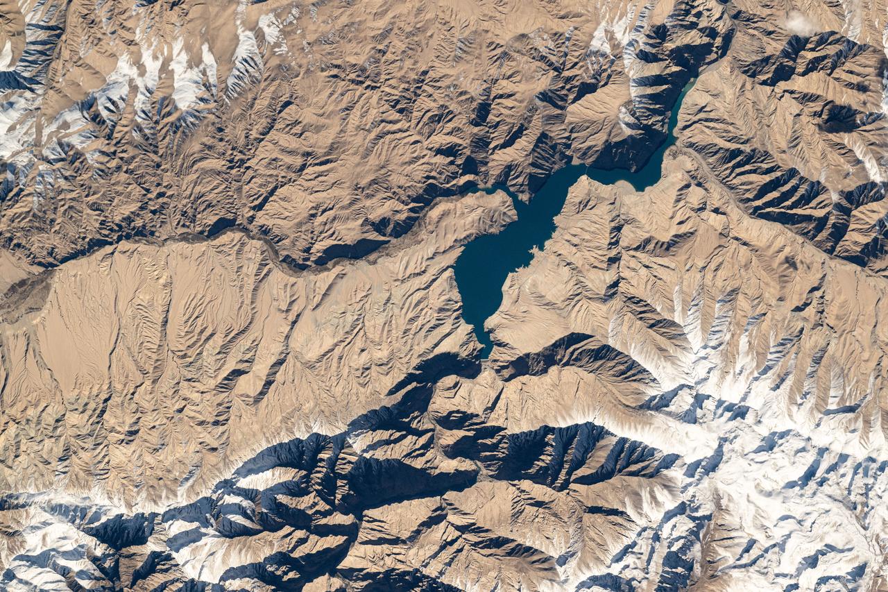
iss072e067740 (Oct. 12, 2024) --- The Tashkurgan River in western China's Hindu Kush mountains near the nations of Tajikistan and Afghanistan is pictured from the International Space Station as it orbited 259 miles above Asia.
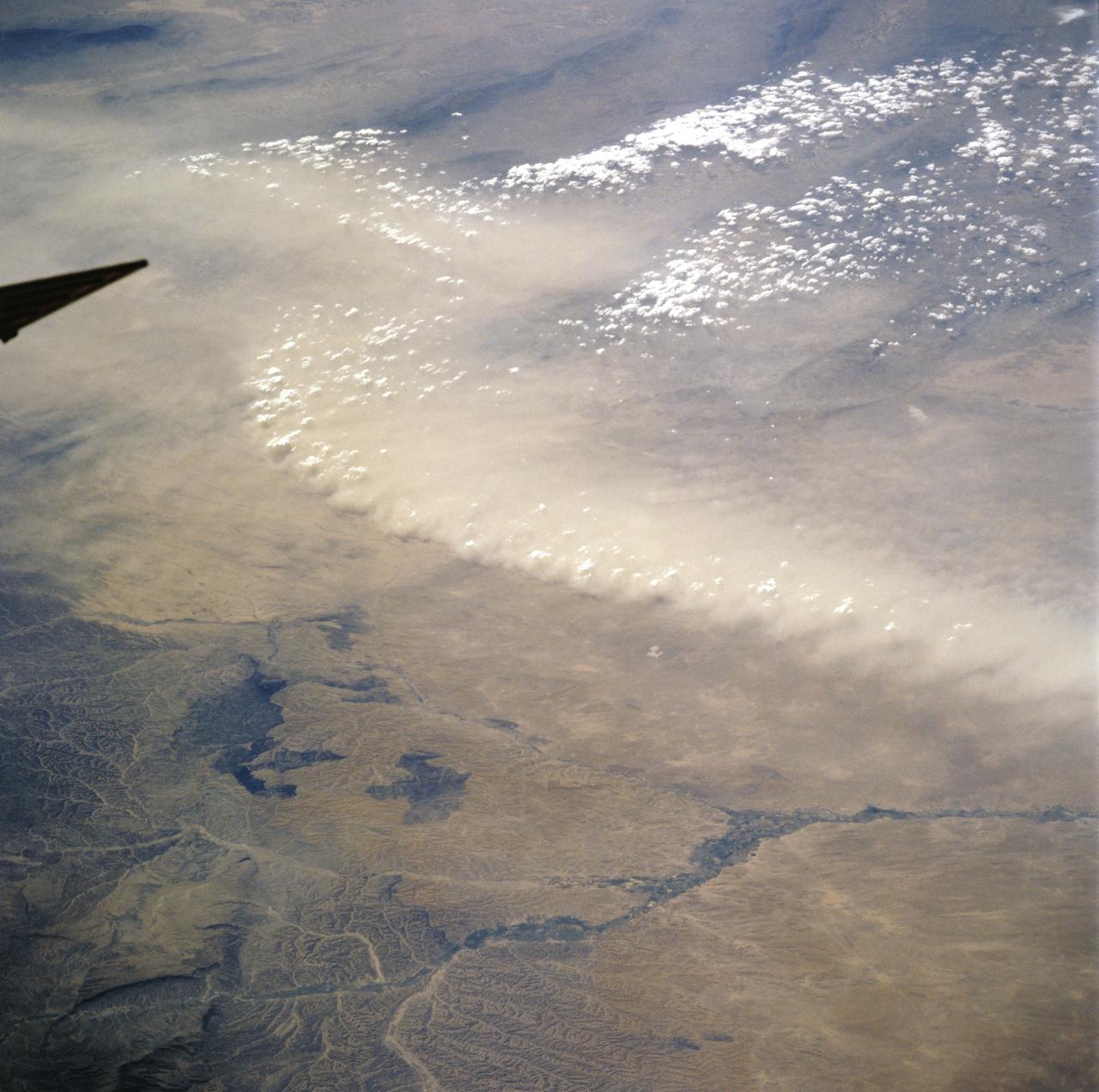
STS106-718-056 (11 September 2000) --- One of the STS-106 crew members on board the Space Shuttle Atlantis used a handheld 70mm camera to photograph this image of Afghanistan dust/front winds in the upper Amu Darya Valley. The strong winds along the northern border of Afghanistan lofted thick, light brown dust into the air (top half of the view). In this desert environment land surfaces are not protected by vegetation from the effect of blowing wind. The central Asian deserts experience the greatest number of dust storm days on the planet each year. The sharp dust front shows that the dust has not traveled far, but has been raised from the surfaces in the view. Dust is entrained in the atmosphere by horizontal winds but also by vertical movements. Here the vertical component is indicated by the fact that the higher points along the dust front are each topped by a small cumulus cloud, which appear as a line of small white puffballs. Cumulus clouds indicate upward motion and here the air which has entrained the dust is lifting the air above to the level of condensation at each point where a small cloud has formed.
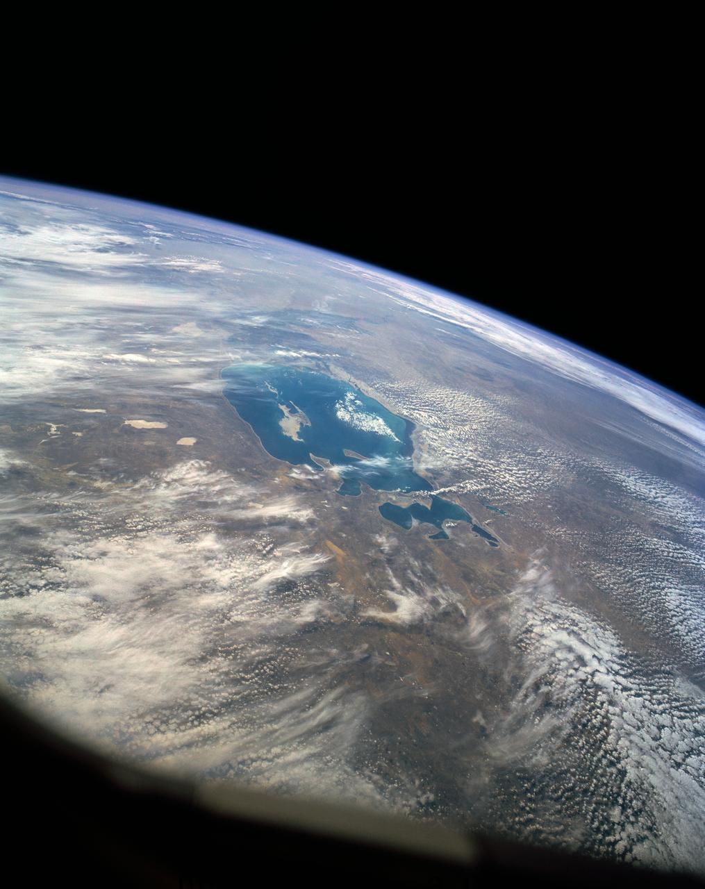
41G-120-005 (5-13 Oct 1984) --- The Kyzyl Kum Desert of the Kazakh and Uzbek Soviet Socialist Republics. The Aralskoe More, also known as the Aral Sea, is to the south-southeast. This saltwater lake is fed mainly from waters of the Amu Darya River, mostly with snow melt water from the distant Tyan-Shan Mountains near the Afghanistan and China border. The crew consisted of astronauts Robert L. Crippen, commander; Jon A. McBride, pilot; mission specialist's Kathryn D. Sullivan, Sally K. Ride, and David D. Leestma; Canadian astronaut Marc Garneau; and Paul D. Scully-Power, payload specialist.

On National Wreaths Across America Day, items are seen on top of the headstone of the Extortion 17, service members who lost their lives during a tour of duty in Afghanistan, Sat., Dec. 14, 2019 at Arlington National Cemetery in Arlington, Va. National Wreaths Across America Day is held annually to celebrate the lives of military veterans. NASA astronaut Doug Wheelock served with the Extortion 17 and honored them as well as those who lost their lives in the quest for space exploration by laying wreaths at their headstones and at the memorial sites. Photo Credit: (NASA/Aubrey Gemignani)
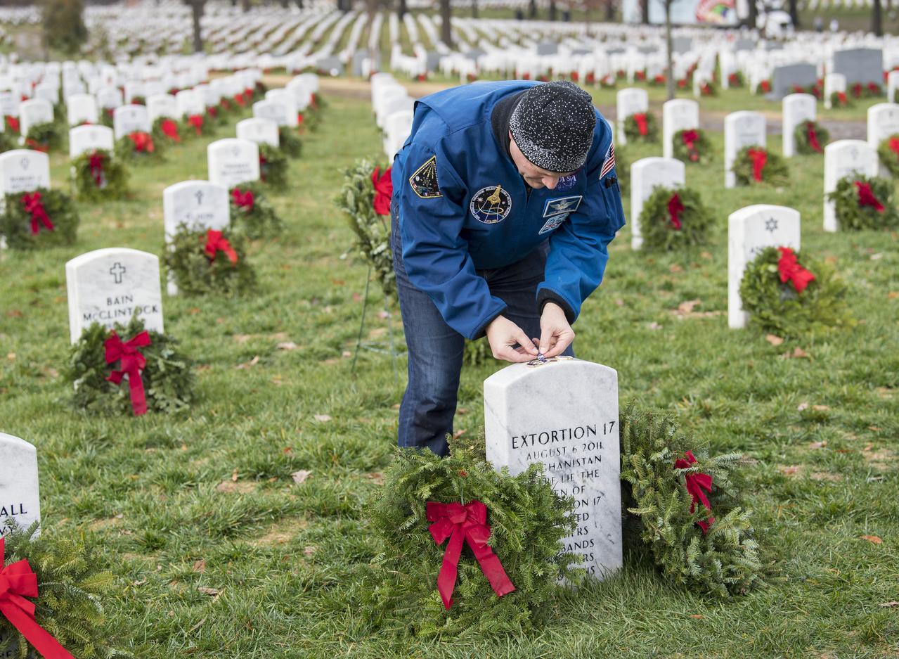
NASA astronaut Doug Wheelock leaves a NASA pin on the headstone of the Extortion 17, fellow service members who lost their lives during his tour of duty in Afghanistan, as part of National Wreaths Across America Day, Sat., Dec. 14, 2019 at Arlington National Cemetery in Arlington, Va. National Wreaths Across America Day is held annually to celebrate the lives of military veterans. Wheelock honored those who lost their lives in the quest for space exploration as well as fellow service members. Photo Credit: (NASA/Aubrey Gemignani)
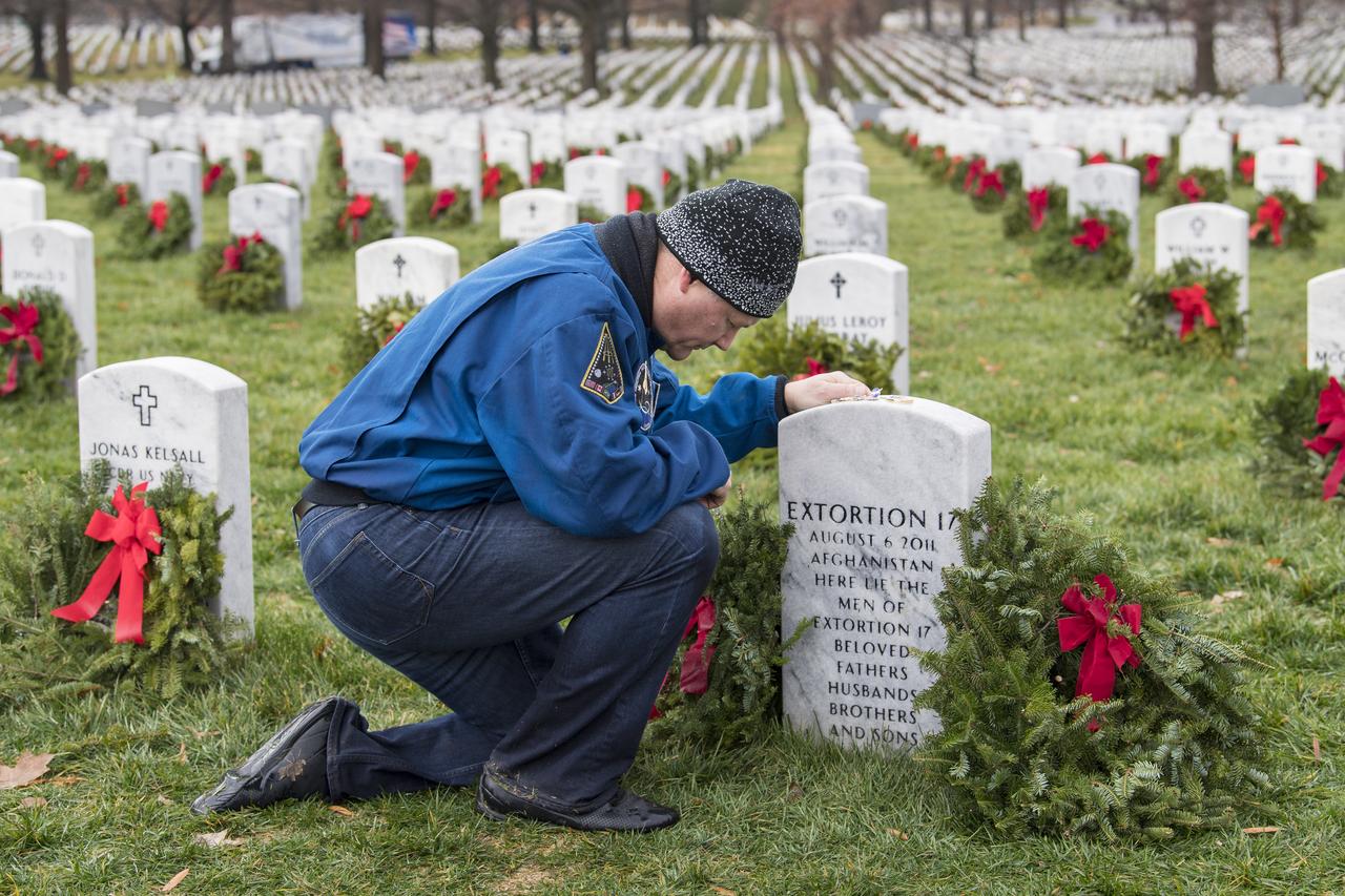
NASA astronaut Doug Wheelock takes a moment after laying a wreath at the headstone of the Extortion 17, fellow service members who lost their lives during his tour of duty in Afghanistan, as part of National Wreaths Across America Day, Sat., Dec. 14, 2019 at Arlington National Cemetery in Arlington, Va. National Wreaths Across America Day is held annually to celebrate the lives of military veterans. Wheelock honored those who lost their lives in the quest for space exploration as well as fellow service members. Photo Credit: (NASA/Aubrey Gemignani)
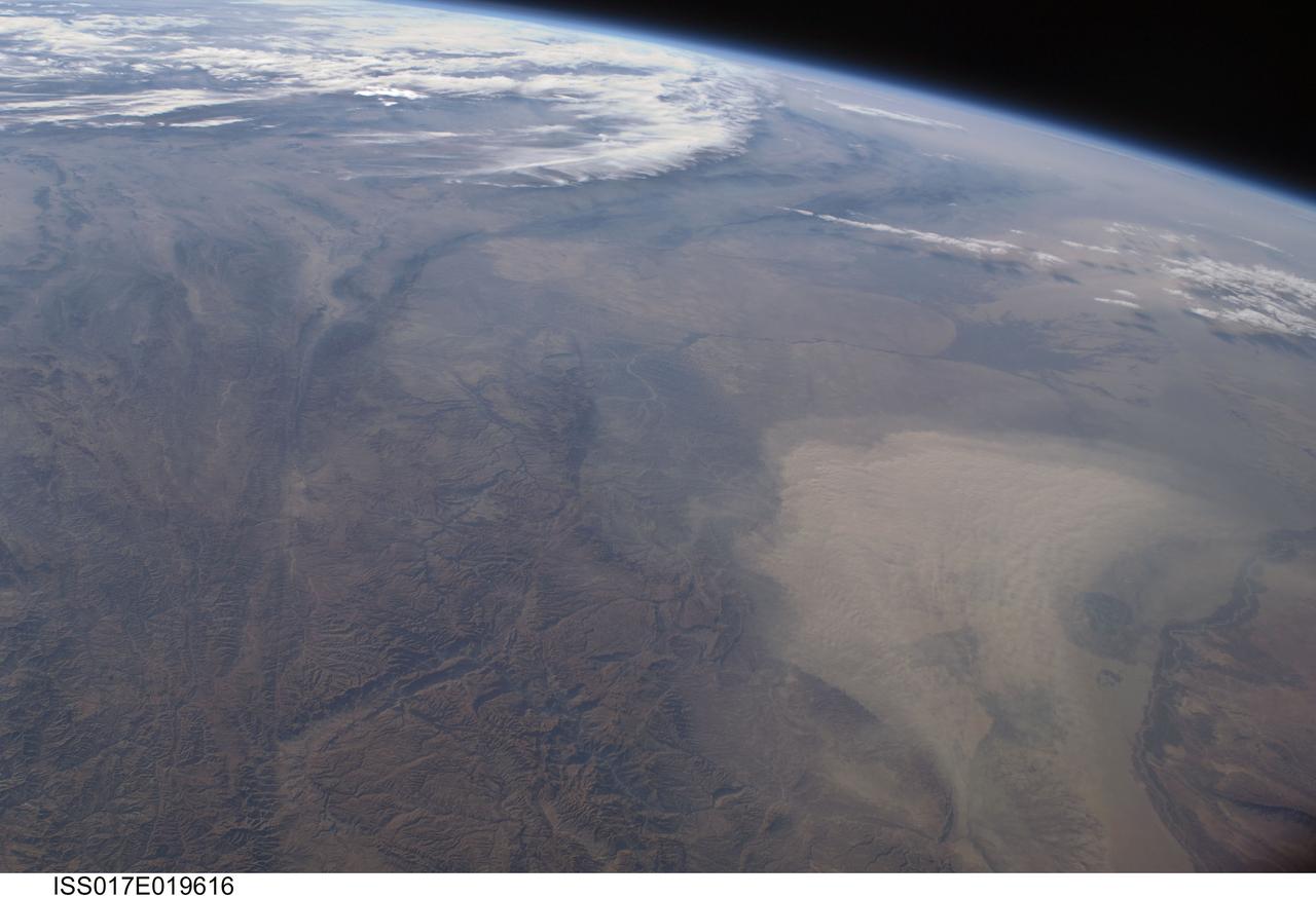
ISS017-E-019616 (16 Oct. 2008) --- A dust storm in Turkmenistan, Central Asia is featured in this image photographed by an Expedition 17 crewmember on the International Space Station. This west-looking view, taken with a short focal length lens from the station, shows a wide swath of central Asia--from Afghanistan, along the length of Turkmenistan to the Caspian Sea. Winds blowing down the largest river valley in the region, the Amudarya, were strong enough to raise a large dust storm. Dust appears as a light brown mass extending into the center of the image from the lower right. Diffuse dust from prior windy weather appears over much of the area making a regional haze that clouds much of the landscape detail. The haze partly obscures the irrigated agriculture in Turkmenistan and entirely obscures the Caspian Sea. Numerous rivers rise in the Hindu Kush mountain complex (lower left). The Band-i Amir River is a major tributary of the main regional river, the Amudarya, which it reaches via a deep canyon. The Amudarya River was the major historical contributor of water to the Aral Sea, but today extensive diversion of river water for agricultural purposes has lead to extensive exposure and desiccation of the sea bed. The exposed sea bed is a major source of saline dusts contaminated with agricultural chemicals that pose a significant environmental hazard to central Asia. To a lesser extent, dusts are also mobilized from sediments along the Amudarya river channel. The Paropamisus Range and the Amudarya (also known as the Oxus River) are mentioned in histories of Alexander the Great's famous military expedition from Greece to India. His horsemen made a fast side excursion from near the Caspian Sea (top right) as far as the Amudarya (lower right).