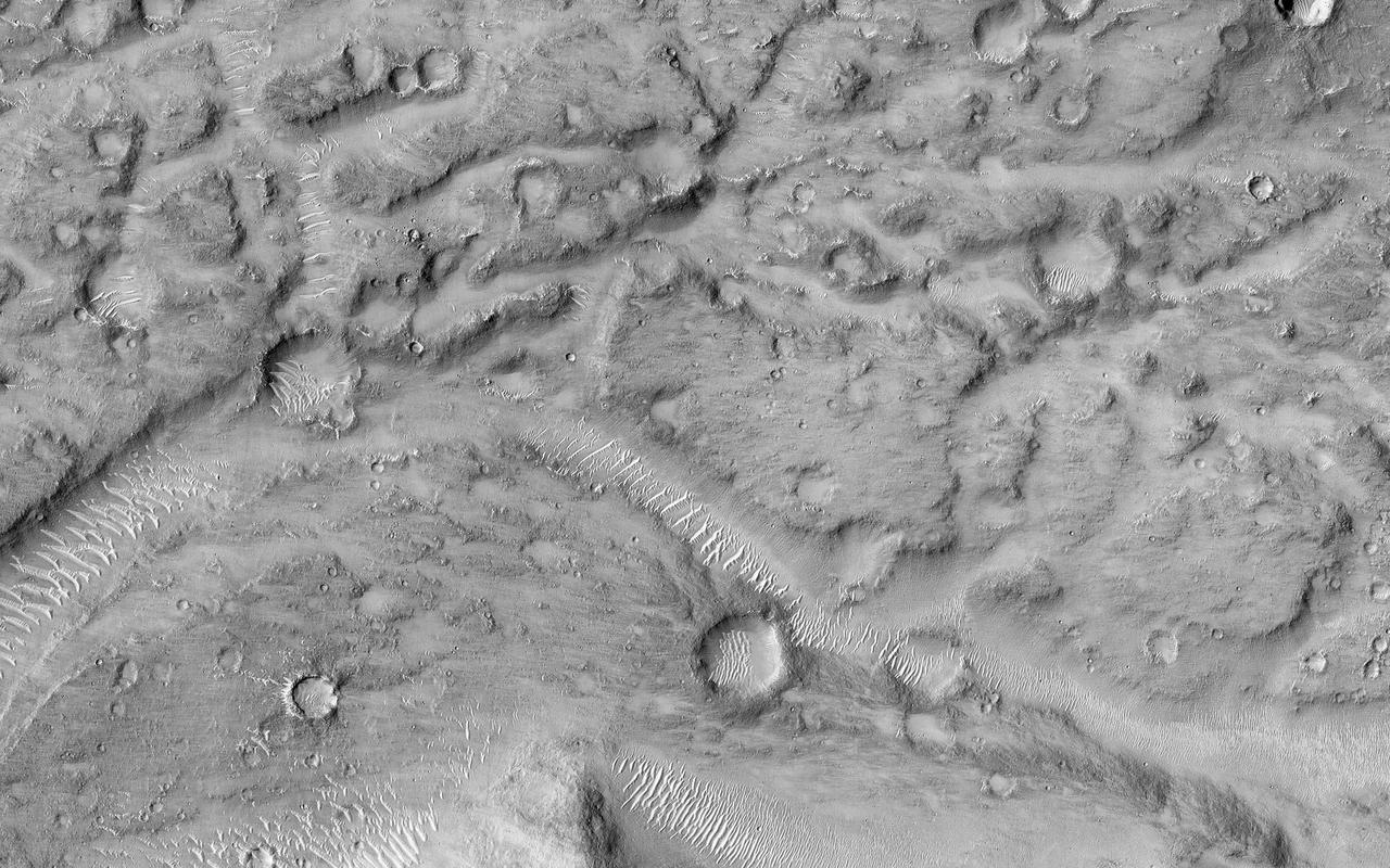
This image shows the northern terminus of an outflow channel located in the volcanic terrains of Amenthes Planum. The channel sources from the Palos impact crater to the south, where water flowed into the crater from Tinto Vallis and eventually formed a paleo lake. As rising lake levels breached through the crater's rim and inundated the plains to the north, the resulting high velocity, large discharge floods plucked out and eroded the volcanic plains scouring out the "Palos Outflow Channel" and the streamlined mesa-islands on its floor. These streamlined forms are the eroded remnants of plains material sculpted by catastrophic floods and are not sediment deposits emplaced by lower magnitude stream flows. Both the fluvial channel floor and the volcanic island surfaces are densely cratered by impacts suggesting that both the surfaces and the flood events are ancient. The morphology (shape) of the channel system and its islands have been preserved through the eons, but water has long been absent from this drainage system. Since then, winds have transported light-toned sediments across this terrain forming extensive dune fields within the channel system, on the floors of impact craters, and in other protected locations in the Palos Outflow Channel region. A closer look shows chevron, or fish-bone shaped, light-toned dunes located near the top of the image where numerous smaller channels have cut through the landscape. These dunes likely started out as Transverse Aeolian Ridges (TAR) that form perpendicular to the prevailing wind direction where the wind-blown sediment supply is scarce. This intriguing morphology likely reflects changes in the prevailing wind environment over time. http://photojournal.jpl.nasa.gov/catalog/PIA21023
At the upper part of this VIS image is one of the graben that comprise Amenthes Fossae. Graben are formed when a block of material drops downward between paired tectonic faults. Amenthes Fossae are located on both sides of Amenthes Planum. Orbit Number: 79085 Latitude: 9.14503 Longitude: 100.803 Instrument: VIS Captured: 2019-10-13 04:17 https://photojournal.jpl.nasa.gov/catalog/PIA23638
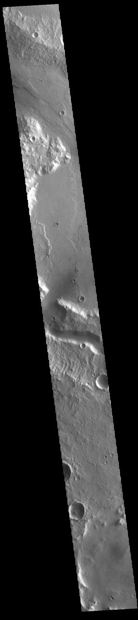
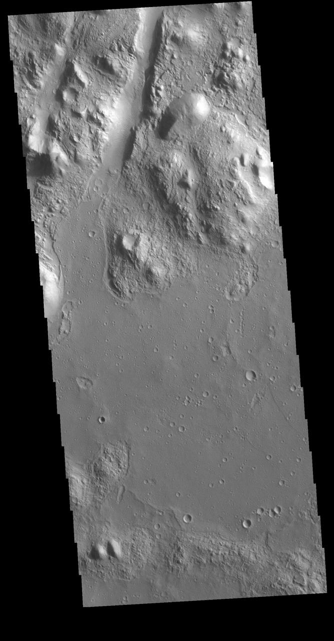
The wide channel in the center of this VIS image is Tinto Vallis. This northward flowing channel is 180 km (112 miles) long and is located in northern Hesperia Planum. Tinto Vallis arises in the plains of Herperia Planum and empties into Palos Crater. In this image Tinto Vallis doglegs to the north, entering Palos Crater, and then exiting again into the northern lowland of Amenthes Planum. Orbit Number: 85973 Latitude: -3.08676 Longitude: 110.715 Instrument: VIS Captured: 2021-05-02 07:46 https://photojournal.jpl.nasa.gov/catalog/PIA24216

Today's VIS image shows several linear depressions that comprise of Amenthes Fossae. These features are referred to as graben and are formed by extension of the crust and faulting. When large amounts of pressure or tension are applied to rocks on timescales that are fast enough that the rock cannot respond by deforming, the rock breaks along faults. In the case of a graben, two parallel faults are formed by extension of the crust and the rock in between the faults drops downward into the space created by the extension. Several sets of graben are visible in this THEMIS image, trending from north-northeast to south-southwest. Because the faults defining the graben are formed parallel to the direction of the applied stress, we know that extensional forces were pulling the crust apart in the west-northwest/east-southeast direction. Amenthes Fossae are located on both sides of Amenthes Planum and are 850km (528 miles) long. Orbit Number: 86797 Latitude: 5.34481 Longitude: 98.2937 Instrument: VIS Captured: 2021-07-09 04:08 https://photojournal.jpl.nasa.gov/catalog/PIA24996