Aureum Chaos
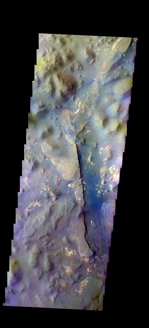
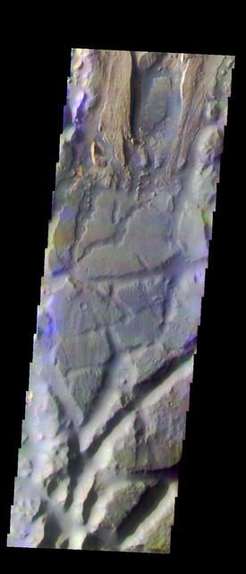
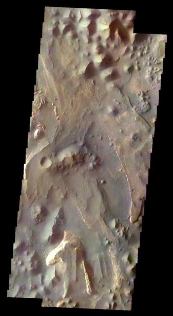
The THEMIS camera contains 5 filters. The data from different filters can be combined in multiple ways to create a false color image. These false color images may reveal subtle variations of the surface not easily identified in a single band image. Today's false color image shows part of Aureum Chaos. Orbit Number: 43169 Latitude: -4.0356 Longitude: 333.393 Instrument: VIS Captured: 2011-09-07 18:50 http://photojournal.jpl.nasa.gov/catalog/PIA20981
Mesa in Aureum Chaos
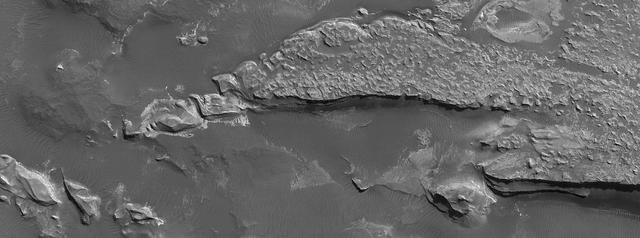
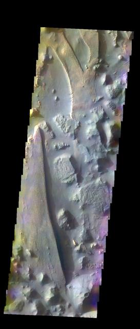
Layered Deposits in Aureum Chaos
Aureum Chaos: Another View
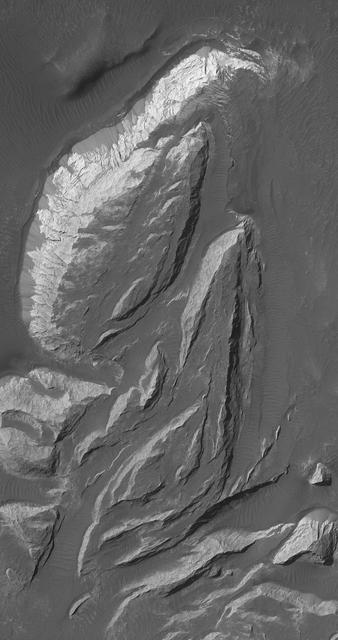
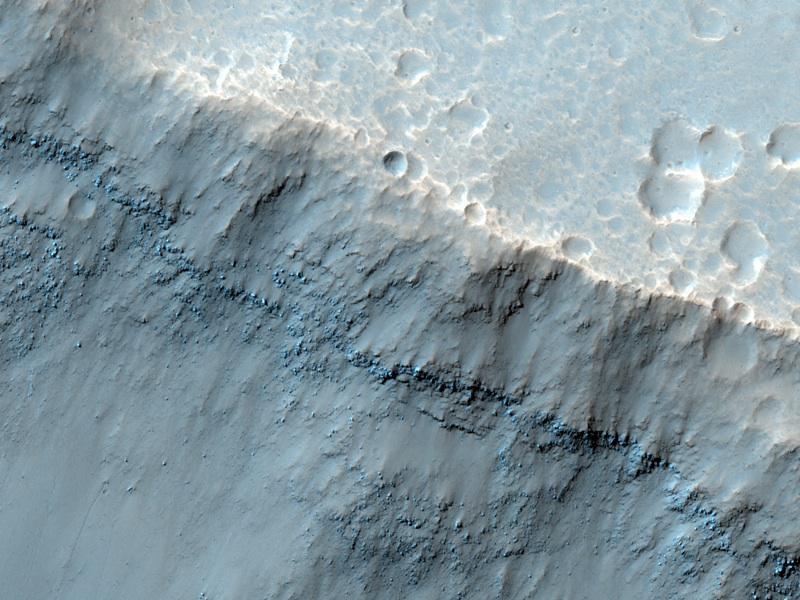
Landslide in Aureum Chaos
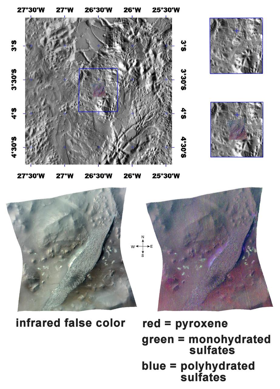
The Minerals of Aureum Chaos
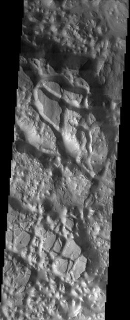
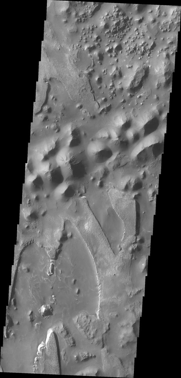
Features in Aureum Chaos
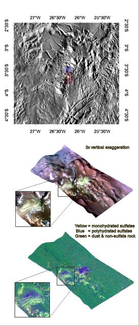
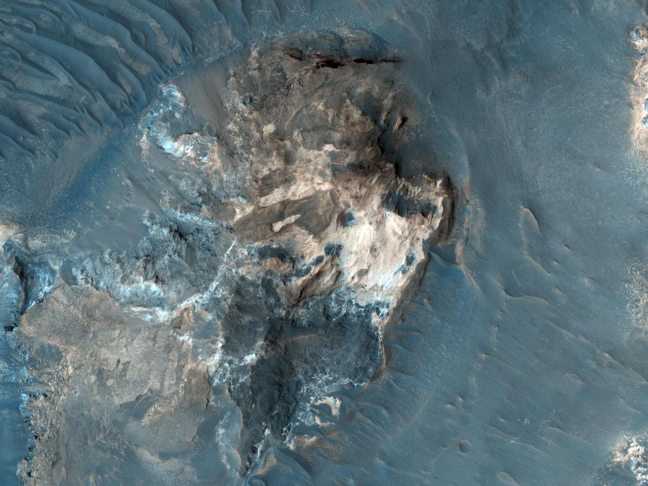
Mono- & Polyhydrated Sulfates in Aureum Chaos
This image taken by NASA Mars Reconnaissance Orbiter reveals meter-scale yard-scale surface textures of mesas and knobs in the Aureum Chaos region of Mars. Aureum Chaos is a wide region of plateaus, mesas, and knobs.
Light-toned Rock Outcrop in Aureum Chaos
This image from NASA 2001 Mars Odyssey spacecraft shows a portion of Aureum Chaos. Several layers of material are visible in the image.
The unusual and apparently layered surface in this image from NASA 2001 Mars Odyssey spacecraft is located in Aureum Chaos.
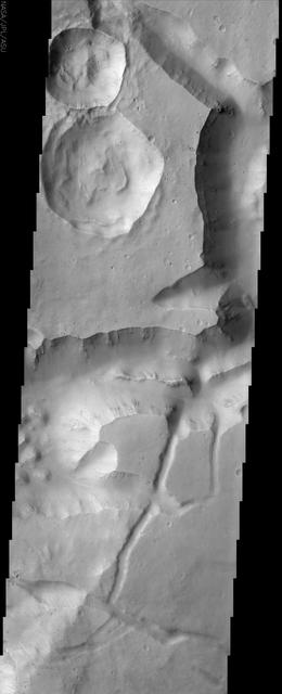
This observance from NASA Mars Reconnaissance Orbiter shows a formation of large outflow channels on Mars Aureum Chaos.
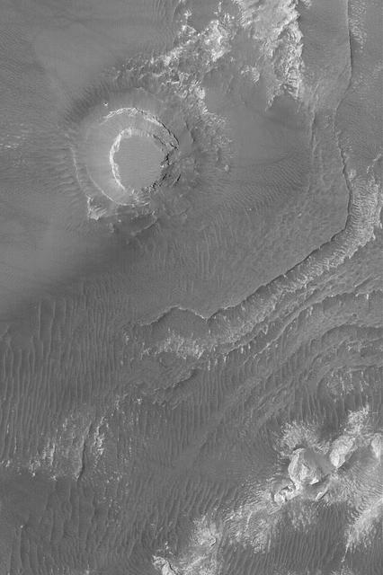
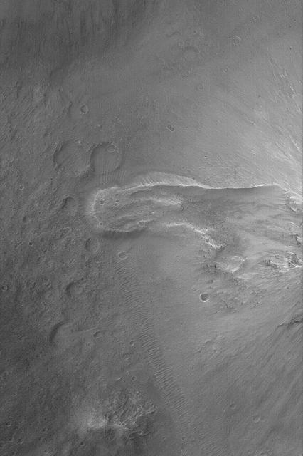
This image from NASA Mars Odyssey shows a portion of Aureum Chaos located just south of the Martian equator. This fractured landscape contains canyons and mesas with two large impact craters in the upper left.
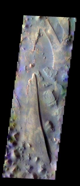
The THEMIS VIS camera contains 5 filters. The data from different filters can be combined in multiple ways to create a false color image. These false color images may reveal subtle variations of the surface not easily identified in a single band image. Today's false color image shows part of Aureum Chaos. Orbit Number: 11760 Latitude: -4.42933 Longitude: 333.1 Instrument: VIS Captured: 2004-08-08 15:22 http://photojournal.jpl.nasa.gov/catalog/PIA19791
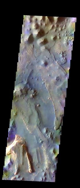
The THEMIS VIS camera contains 5 filters. The data from different filters can be combined in multiple ways to create a false color image. These false color images may reveal subtle variations of the surface not easily identified in a single band image. Today's false color image shows part of Aureum Chaos. Orbit Number: 9913 Latitude: -4.41938 Longitude: 333.031 Instrument: VIS Captured: 2004-03-09 13:43 http://photojournal.jpl.nasa.gov/catalog/PIA19750
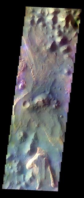
The THEMIS VIS camera contains 5 filters. The data from different filters can be combined in multiple ways to create a false color image. These false color images may reveal subtle variations of the surface not easily identified in a single band image. Today's false color image shows part of Aureum Chaos. Orbit Number: 10537 Latitude: -3.64083 Longitude: 332.87 Instrument: VIS Captured: 2004-04-29 22:43 http://photojournal.jpl.nasa.gov/catalog/PIA19770
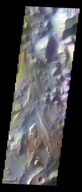
The THEMIS VIS camera contains 5 filters. The data from different filters can be combined in multiple ways to create a false color image. These false color images may reveal subtle variations of the surface not easily identified in a single band image. Today's false color image shows part of Aureum Chaos. Orbit Number: 10849 Latitude: -3.61061 Longitude: 332.761 Instrument: VIS Captured: 2004-05-25 15:14 http://photojournal.jpl.nasa.gov/catalog/PIA19774
The THEMIS VIS camera contains 5 filters. The data from different filters can be combined in multiple ways to create a false color image. These false color images may reveal subtle variations of the surface not easily identified in a single band image. Today's false color image shows part of Aureum Chaos. Orbit Number: 12384 Latitude: -3.1928 Longitude: 332.676 Instrument: VIS Captured: 2004-09-29 00:24 http://photojournal.jpl.nasa.gov/catalog/PIA20076
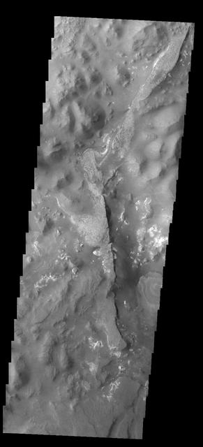
This two frame mosaic shows part of Aureum Chaos
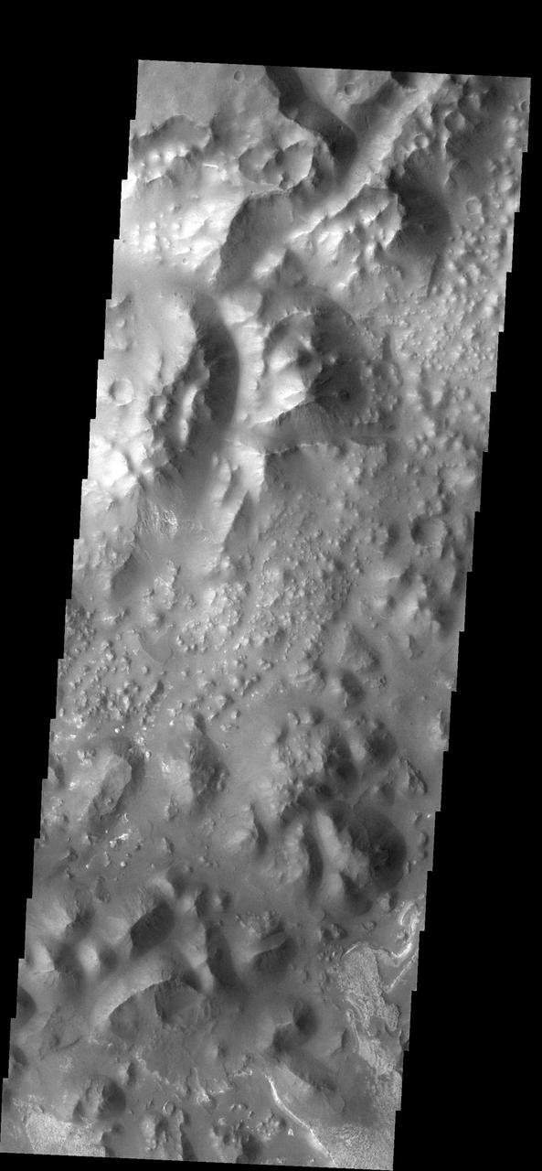
This type of broken-up terrain is called chaos. At the bottom right corner of the image there is evidence of deposition of material.
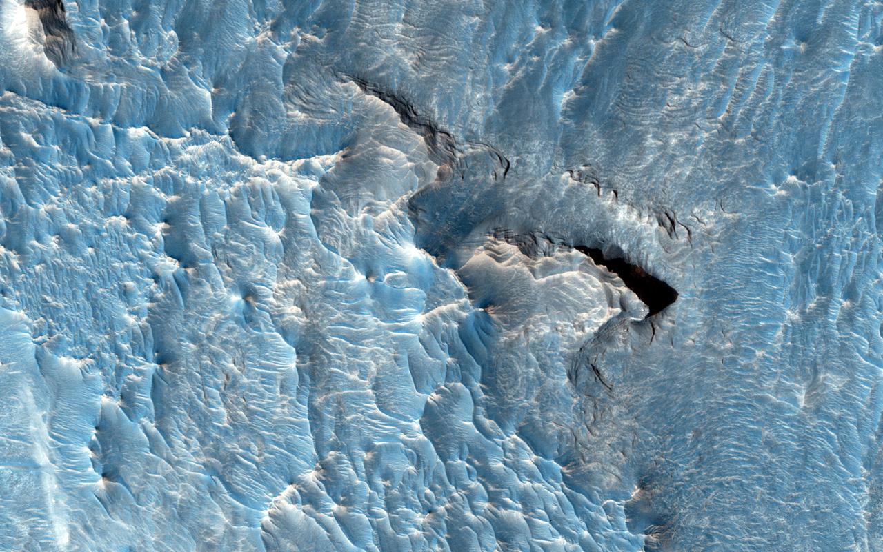
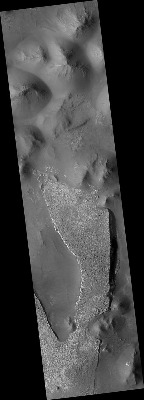
The objective of this observation from NASA Mars Reconnaissance Orbiter is to examine a light-toned deposit in a region of what is called "chaotic terrain." There are indications of layers in the image. Some shapes suggest erosion by a fluid moving north and south. The top of the light-toned deposit appears rough, in contrast to the smoothness of its surroundings. http://photojournal.jpl.nasa.gov/catalog/PIA19844