This image acquired by NASA Terra spacecraft is of the Kingdom of Bahrain, a small island country near the western shore of the Persian Gulf.
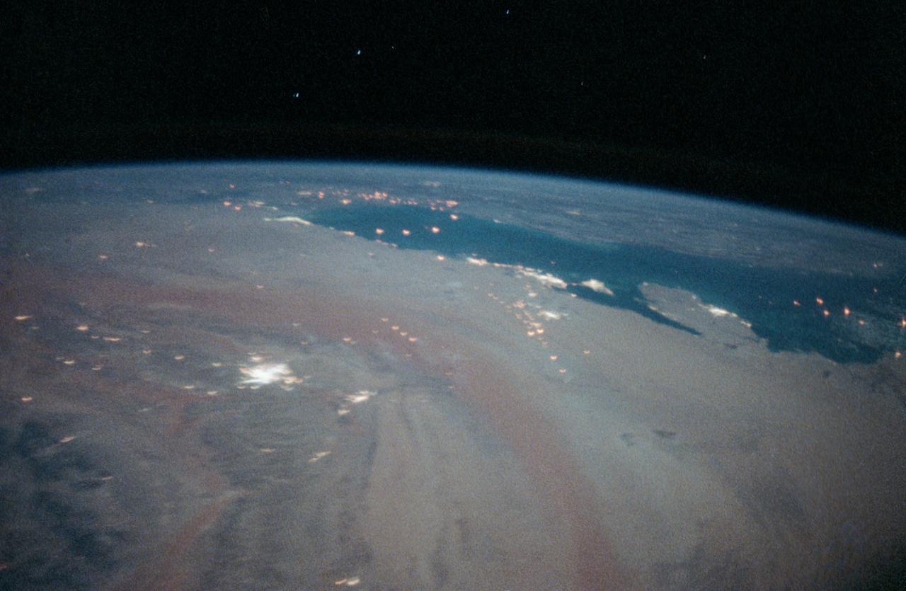
STS-35 Earth observation taken aboard Columbia, Orbiter Vehicle (OV) 102, is of the Persian Gulf area. Major cities and oilfields of the countries of Saudi Arabia (foreground), Iraq (top left), Iran (top center and top right), Kuwait, Bahrain, Qatar, and a portion of the United Arab Emirates are visible in this scene. The cities are the large whitish areas of city lights. Flares characteristic of the Mid-East oil field practices are visible both onshore and offshore throughout the scene. Major cities identifiable are in Iraq - Baghdad, Basra, and Faw; in Qatar - Ab Dawhah; in Kuwait - Kuwait City; in Saudi Arabia - Riyadh, Al Jubayl, Dharan, Al Huf, Ad Dilam and Al Hariq; and Bahrain and its associated causeway to the mainland.

iss064e039347 (Feb. 26, 2021) --- Petal 2 Beach, on the southern tip of the island nation of Bahrain, is pictured from the International Space Station as it orbited 261 miles above the Persian Gulf. Credit: Roscosmos
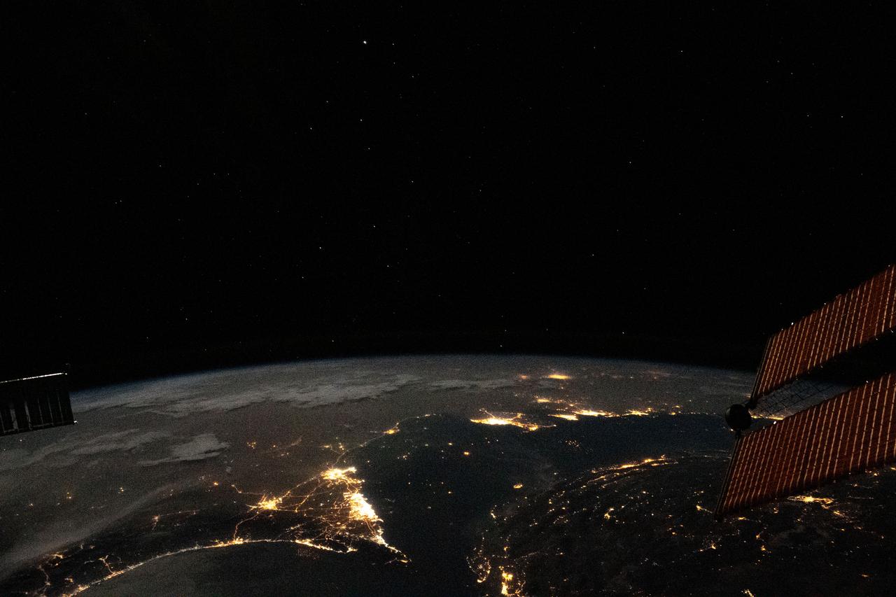
iss063e081369 (Aug. 31, 2020) --- Photographed from the International Space Station at night, the well-lit United Arab Emirates (lower center) is situated at the northeast end of the Arabian Peninsula, with Qatar and Bahrain to the north on the coast of the Persian Gulf.
iss068e024291 (Nov. 24, 2022) --- Qatar, the island Kingdom of Bahrain, and the eastern coast of Saudi Arabia on the Persian Gulf are pictured from the International Space Station as it orbited 258 miles above the Arabian Peninsula.

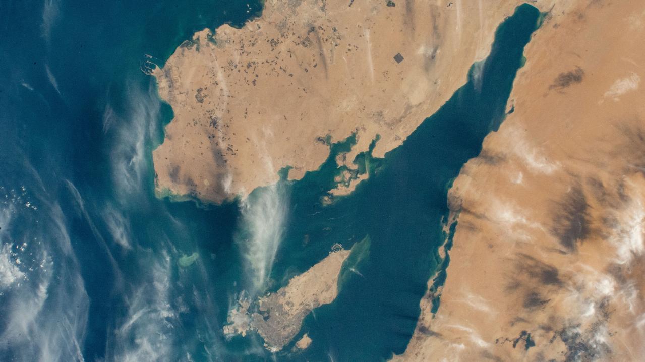
iss065e000674 (April 19, 2021) --- The north coast of the island nation of Bahrain in the Persian Gulf is pictured from the International Space Station as it orbited 262 miles above western Iran.
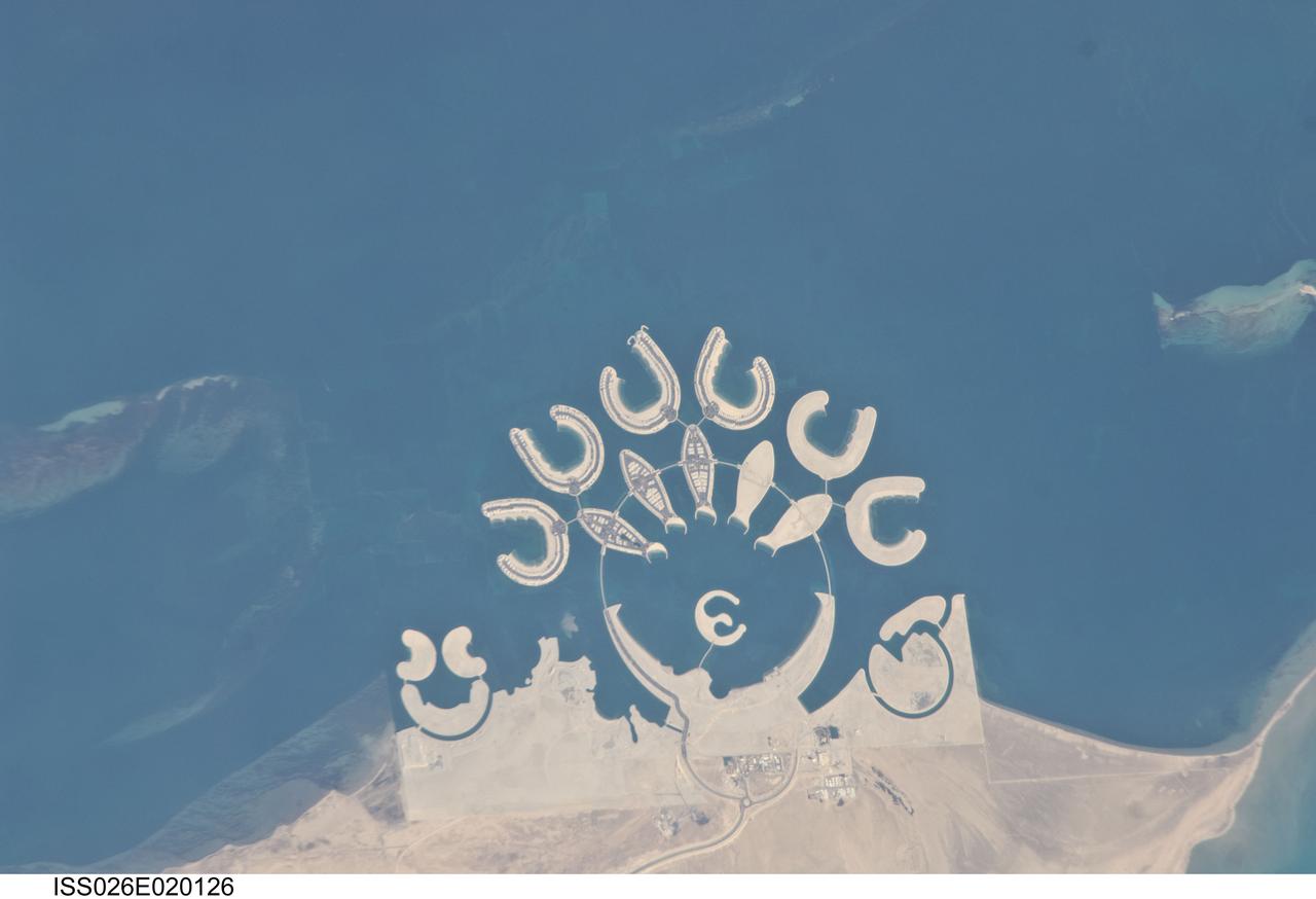
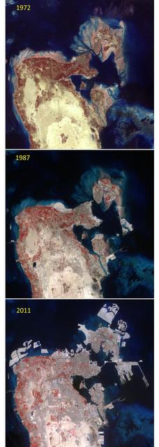
ISS026-E-020126 (23 Jan. 2011) --- Durrat Al Bahrain, Bahrain, is featured in this image photographed by an Expedition 26 crew member on the International Space Station. Set at the southern end of Bahrain Island, at the furthest point from the cities of the kingdom, is a new complex of 14 artificial islands designed for residential living and tourism with luxury hotels and shopping malls. Aimed at a cosmopolitan clientele, the Durrat Al Bahrain includes 21 square kilometers of new surface area—for more than 1,000 residences—that has been designed as The Islands (six “atolls” leading off five fish-shaped “petals”), The Crescent, Hotel Island in the center of the complex, and Durrat Marina in the north. The spectacular outline of this development, and others such as the Palm Jumeirah and World Islands developments in the Persian Gulf, are best appreciated from above. Views from jet liners at high altitude—and orbital platforms such as the International Space Station—are the only ways to fully appreciate these sights. This detailed photograph shows that construction on the southern two atolls and petals has yet to begin. Artificial beaches have been created on the inner shorelines of the Crescent and petals, with smaller beaches on the inner ends of the atolls and Hotel Island. The angular outline of the golf course, where many more residences are planned to line the fairways, can be seen between The Crescent and the marina. What may be a second marina at the south end of the complex mirrors the one on the north, appears to be part of the complex, but it does not figure in some earlier plans for the Durrat Al Bahrain.

iss067e169952 (July 1, 2022) --- The Arvand Roud (center) is a river that separates the southern borders of Iraq and Iran on the Persian Gulf coast. At right, is the Bahmanshir River in Iran that drains into the Persian Gulf. The International Space Station was orbiting 262 miles above Saudi Arabia near the island nation of Bahrain at the time this photograph was taken.
iss063e081357 (Aug. 31, 2020) --- Photographed from the International Space Station at night, the well-lit United Arab Emirates (center right) is situated at the northeast end of the Arabian Peninsula in the southern Persian Gulf, with Qatar and Bahrain (far right) to the north.
iss067e169965 (July 1, 2022) --- The Khawr az-Zubayr Waterway (at bottom) separates the Middle Eastern nations of Kuwait and Iraq on the Persian Gulf coast. At top left, is the desert town of Abdali, Kuwait. At right, is the fertile, agricultural town of Abu Al-Khaseeb, Iraq. The International Space Station was orbiting 262 miles above Saudi Arabia near the island nation of Bahrain at the time this photograph was taken.
ISS033-E-014856 (13 Oct. 2012) --- A nighttime view of Qatar is featured in this image photographed by an Expedition 33 crew member on the International Space Station. Night lights can be very revealing regarding the distribution of people on the landscape. Here the lights of Qatar show the precise demographic geography of the country. The brightest group at center shows the capital city Doha with the neighboring smaller ports of Ad-Dahira and Umm Sa?id to the north and south, respectively. Even highways and their relative importance can be discerned. Highways are clearly visible leading from the capital west to the Dukhan oil fields, to Saudi Arabia, and to the north of the country--where, judging by the lack of night lights, the population is very low. The relatively low-traffic coast road between the oil fields and the Saudi frontier also stands out. This kind of highly informative human geographic detail is very difficult to discern in daylight images, in which even larger cities, especially in deserts, are hard to see. Almost the entire island nation of Bahrain appears at lower left, with its capital city Manama nearly as bright as the lights of Doha. The difference in light intensity reflects a difference in population?Doha has 1.45 million inhabitants, while the very dense Manama metro area has a population of 1.2 million. While some night views are highly informative about a landscape, they can also be difficult and confusing to identify. Astronauts learn to recognize where they are at night by flying over populated places repeatedly, even though coastlines?one of their best geographic indicators?are generally lost to view because water surfaces and unpopulated land surfaces look the same without illumination (such as from a full moon). Thus the thumb-shaped Qatari peninsula, so well-known in Middle Eastern geography, cannot be discerned at all in this night image. The inset at top right overlays the coastline as seen in daylight onto the night patterns of the image. It shows the Qatari peninsula, with the long arm of the Gulf of Bahrain separating it from Saudi Arabia.