
In the skies above NASA Armstrong in Southern California, Generation Orbit’s hypersonic pod is flight tested on agency C-20A.

NASA’s C-20A with Generation Orbit’s hypersonic testbed attached is chased by the agency’s F-18 jet for safety and photography.

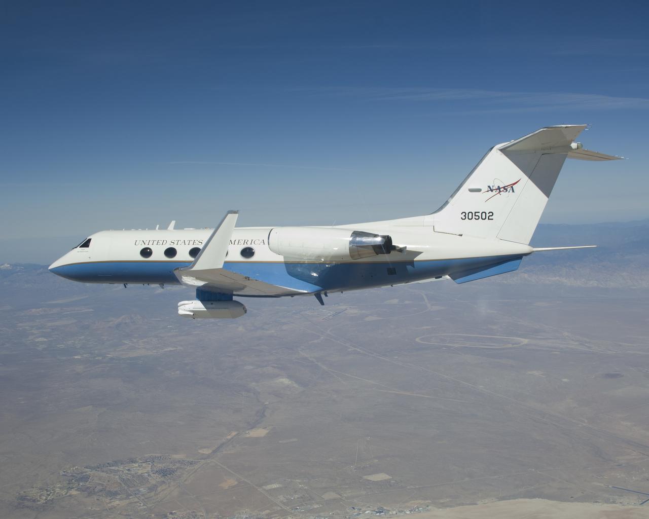
NASA’s C-20A with Generation Orbit’s hypersonic pod attached undergoes flight test overs skies of Armstrong Flight Research Center.

C-20A on NASA Dryden Ramp

C-20A (Gulfstream III) in flight over the NASA Dryden Flight Research Center

Mark Scherer prepares the C-20A for the AfriSAR mission.

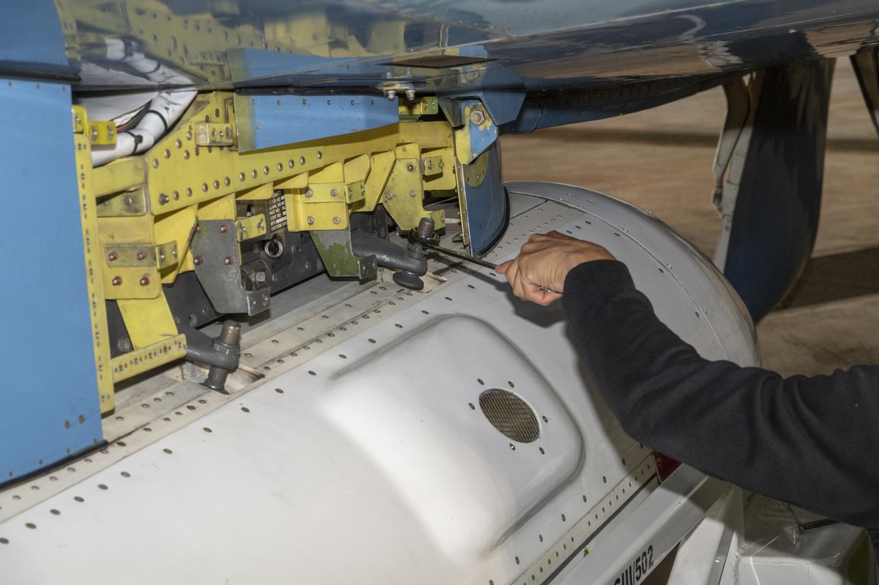
C-20A crew chief Vince Moreno inspects the aircraft.

Alvin Mitchell, a NASA C-20A aircraft quality assurance inspector, completes preflight checks at NASA’s Armstrong Flight Research Center in Edwards, California, on Wednesday, April 29, 2026. The aircraft conducted science flights over Central California carrying NASA’s UAVSAR (Uninhabited Aerial Vehicle Synthetic Aperture Radar), which collects detailed ground‑movement data to improve earthquake‑hazard models and support a new Earth‑observing satellite.

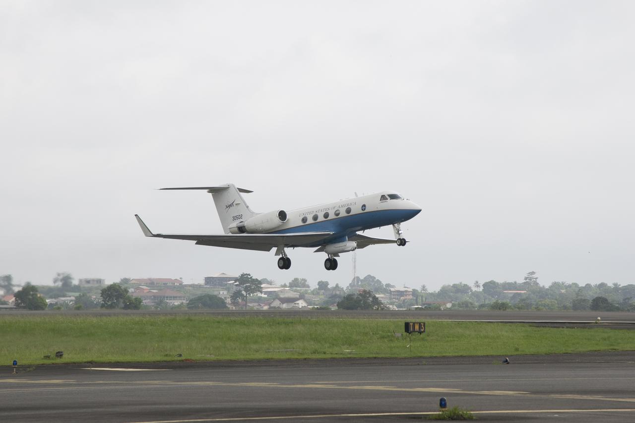
NASA’s C-20A takes off from NASA’s Armstrong Flight Research Center in Edwards, California, on Wednesday, April 29, 2026. The aircraft conducted science flights over Central California carrying NASA’s UAVSAR (Uninhabited Aerial Vehicle Synthetic Aperture Radar), which collects detailed ground‑movement data to improve earthquake‑hazard models and support a new Earth‑observing satellite.

NASA’s C-20A takes off from NASA’s Armstrong Flight Research Center in Edwards, California, on Wednesday, April 29, 2026. The aircraft conducted science flights over Central California carrying NASA’s UAVSAR (Uninhabited Aerial Vehicle Synthetic Aperture Radar), which collects detailed ground‑movement data to improve earthquake‑hazard models and support a new Earth‑observing satellite.

NASA’s C-20A takes off from NASA’s Armstrong Flight Research Center in Edwards, California, on Wednesday, April 29, 2026. The aircraft conducted science flights over Central California carrying NASA’s UAVSAR (Uninhabited Aerial Vehicle Synthetic Aperture Radar), which collects detailed ground‑movement data to improve earthquake‑hazard models and support a new Earth‑observing satellite.

C-20A crew chief Isac Mata stows metal pins used to secure the landing gear, while Ian Elkin, operations engineer, boards the aircraft to prepare for takeoff from NASA’s Armstrong Flight Research Center in Edwards, California, on Wednesday, April 29, 2026. The aircraft conducted science flights over Central California carrying NASA’s UAVSAR (Uninhabited Aerial Vehicle Synthetic Aperture Radar), which collects detailed ground‑movement data to improve earthquake‑hazard models and support a new Earth‑observing satellite.

Sam Choi and Naiara Pinto observe Google Earth overlaid with in almost real time what the synthetic aperture radar is mapping from the C-20A aircraft. Researchers were in the sky and on the ground to take measurements of plant mass, distribution of trees, shrubs and ground cover and the diversity of plants and how much carbon is absorbed by them.

Armstrong Pilots David Fedors and Stu Broce are at the controls of the C-20A in March 2016 as it flies a synthetic aperture radar over areas of interest in the AfriSAR mission based in Gabon, Africa. The international campaign included measurements of flora in the country’s rainforests, wetlands, mangrove forests and savanna.

Members of the AfriSAR team standing by the C-20A in Gabon, Africa, which is usually based at NASA Armstrong Flight Research Center in California include, from left, John McGrath, Carlos Meza, Stu Broce, Samuel Choi, David Fedors, Naiara Pinto, Mark Scherer, Marc Simard, Vincent Moreno, Chuck Irving and Kean Tham.
NASA’s C-20A takes off from Libreville International Airport in Gabon, Africa, in support of the AfriSAR  campaign in March 2016. Gabon is a Central African country slightly smaller than the state of Colorado that features the world’s second largest rainforest. In addition to environmental measurements, the flights were used for calibrating satellites for current and upcoming missions.
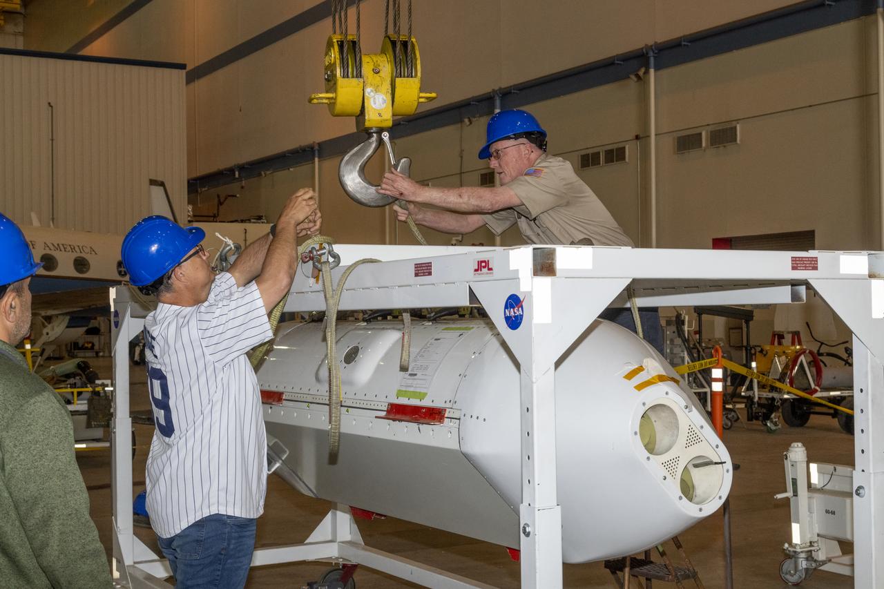
The Uninhabited Aerial Vehicle Synthetic Aperture Radar, UAVSAR, is prepared for installation onto NASA’s C-20A aircraft. THE UAVSAR uses a technique called interferometry to detect and measure very subtle deformations in the Earth’s surface, and the pod is specially designed to be interoperable with unmanned aircraft in the future. It will gather data from Gabon, Africa in September of 2023.
The Uninhabited Aerial Vehicle Synthetic Aperture Radar, UAVSAR, is prepared for installation onto NASA’s C-20A aircraft. THE UAVSAR uses a technique called interferometry to detect and measure very subtle deformations in the Earth’s surface, and the pod is specially designed to be interoperable with unmanned aircraft in the future. It will gather data from Gabon, Africa in September of 2023.
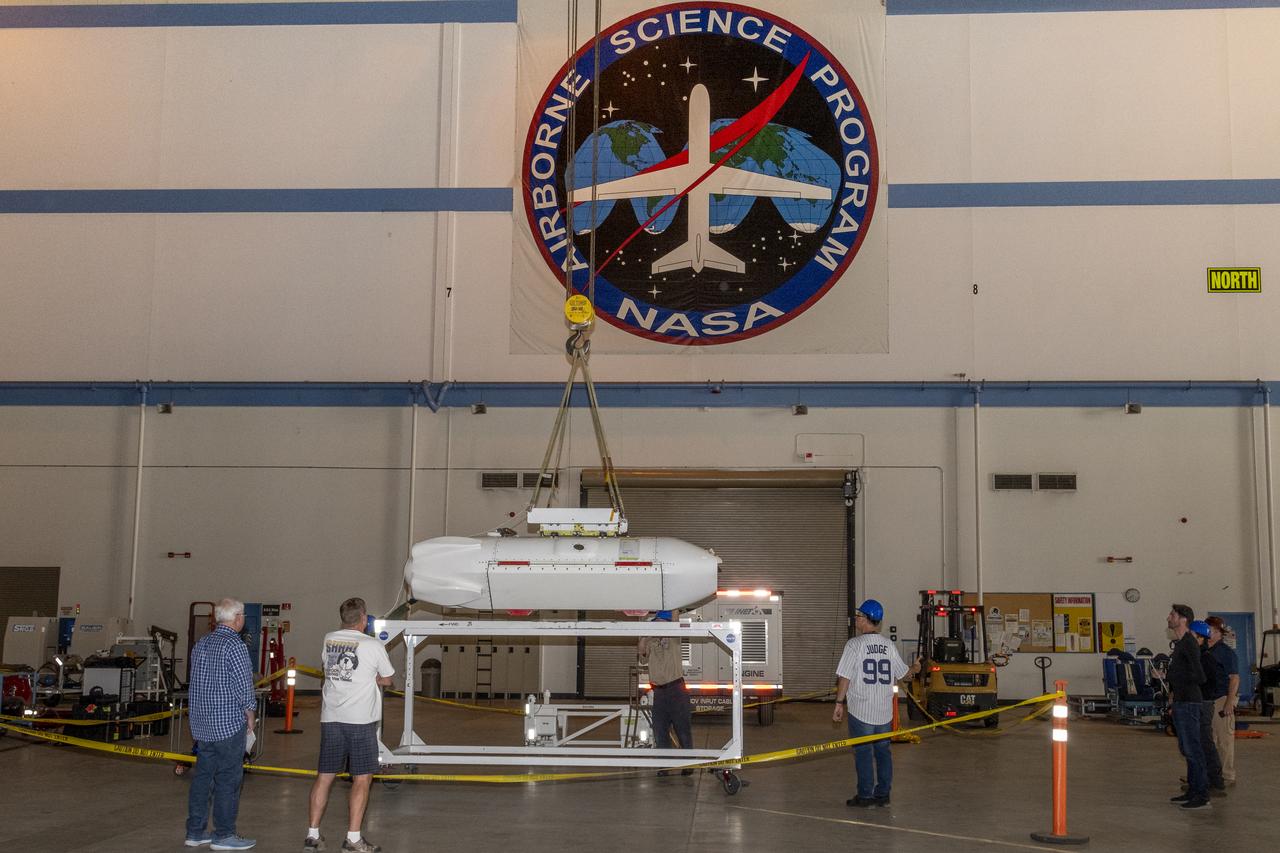
The Uninhabited Aerial Vehicle Synthetic Aperture Radar, UAVSAR, is prepared for installation onto NASA’s C-20A aircraft. THE UAVSAR uses a technique called interferometry to detect and measure very subtle deformations in the Earth’s surface, and the pod is specially designed to be interoperable with unmanned aircraft in the future. It will gather data from Gabon, Africa in September of 2023.

The Uninhabited Aerial Vehicle Synthetic Aperture Radar, UAVSAR, is prepared for installation onto NASA’s C-20A aircraft. THE UAVSAR uses a technique called interferometry to detect and measure very subtle deformations in the Earth’s surface, and the pod is specially designed to be interoperable with unmanned aircraft in the future. It will gather data from Gabon, Africa in September of 2023.
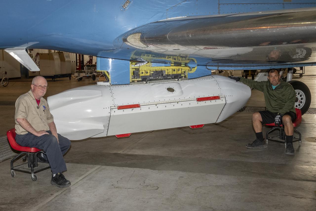
The Uninhabited Aerial Vehicle Synthetic Aperture Radar, UAVSAR, is prepared for installation onto NASA’s C-20A aircraft. THE UAVSAR uses a technique called interferometry to detect and measure very subtle deformations in the Earth’s surface, and the pod is specially designed to be interoperable with unmanned aircraft in the future. It will gather data from Gabon, Africa in September of 2023.

Bob Meyer (right), acting deputy director of NASA Dryden, shakes hands with Les Bordelon, executive director of Edwards Air Force Base.
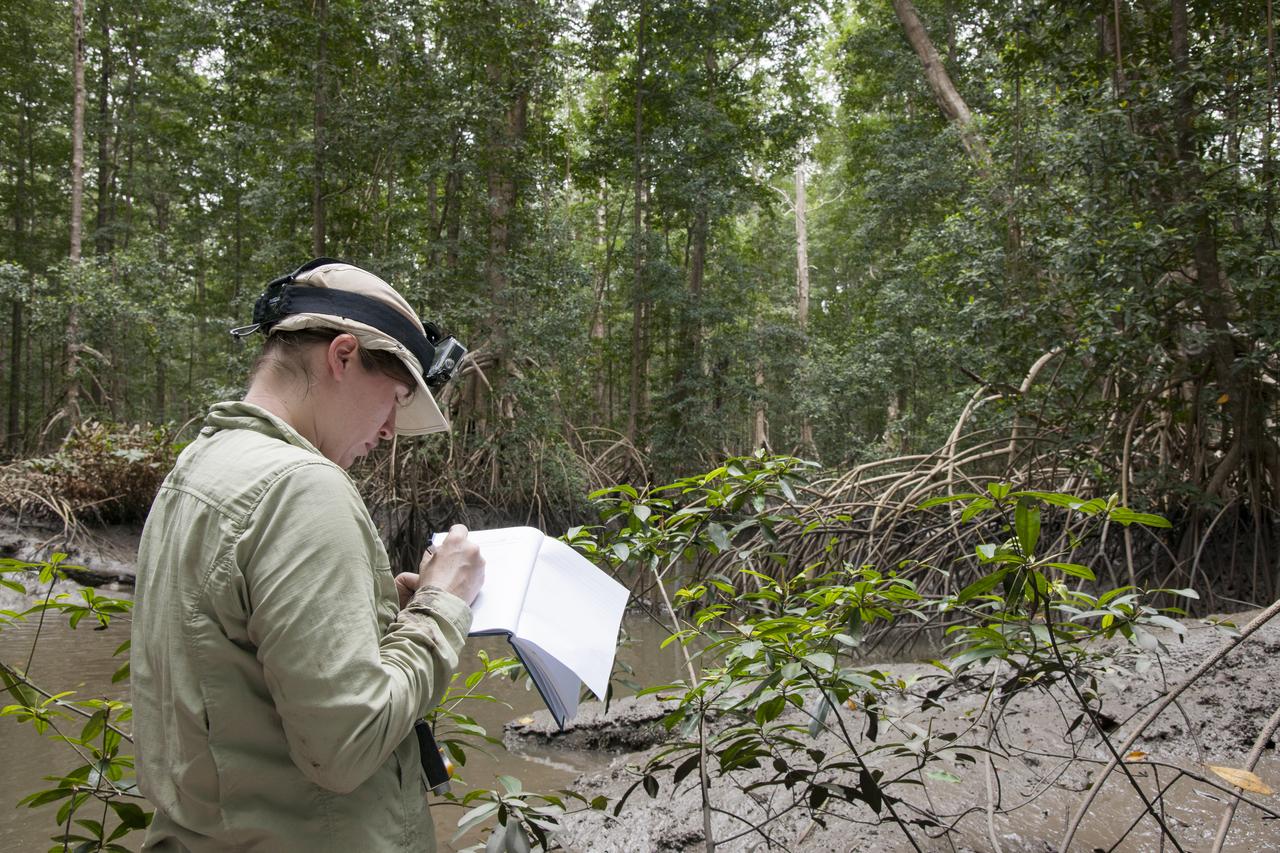
Goddard Space Center’s Laura Duncanson records global positioning satellite coordinates of the Pongara Mangrove and tree heights and diameters.

A member of the Gabon National Park Agency Ecoguard discussed the next research destination with Lola Fatoyinbo, Marc Simard and Laura Duncanson.
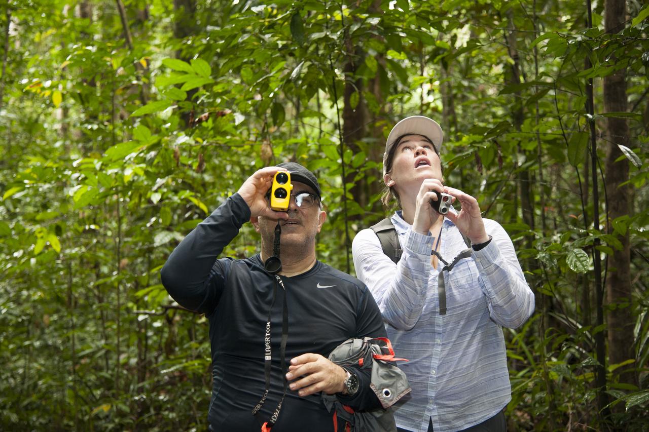
AfriSAR team members Sassan Saatchi (left) from NASA’s Jet Propulsion Laboratory and Laura Duncanson from NASA’s Goddard Space Flight Center take measurements of trees in the rainforest in the Mondah National Park, Gabon, Africa.
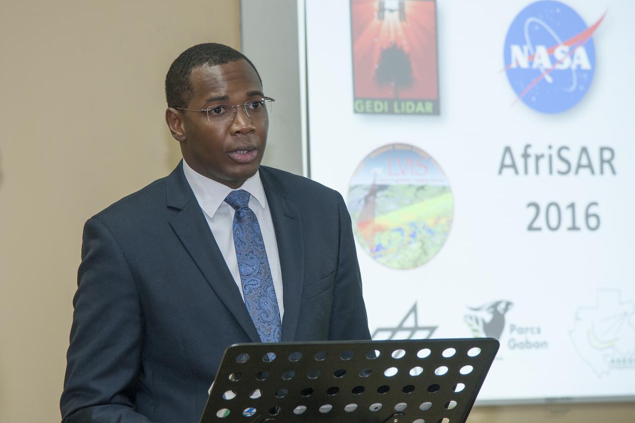
Tanguay Gahouma Bekale, director general of the Gabonese Space Agency, talks to media about the AfriSAR mission.
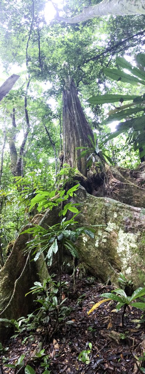
The Okoume’ tree grows tall above the other flora to reach for the suns energy.
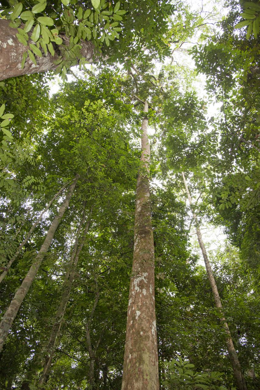
In Gabon, Africa, the Mondah National Park is one of the field research sites for NASA’s AfriSAR campaign. Gabon is a Central African country slightly smaller than the state of Colorado that features the world’s second largest rainforest. In addition to environmental measurements, the flights were used for calibrating satellites for current and upcoming missions.

The Okoumé tree is large, as compared to a hand seen in the bottom right portion of the image. The Mondah National Park is one of the field research sites for NASA’s AfriSAR campaign.
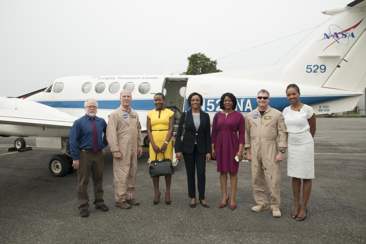
The NASA Langley Research Center-based B-200 in Gabon, Africa, was visited by three representatives of the Gabon Ministry of the Numerical Economy (the three women seen in the middle). In the photo from left are Bryan Blair, Rick Yasky, the three Gabon representatives, Alan Barringer and Lola Fatoyinbo.
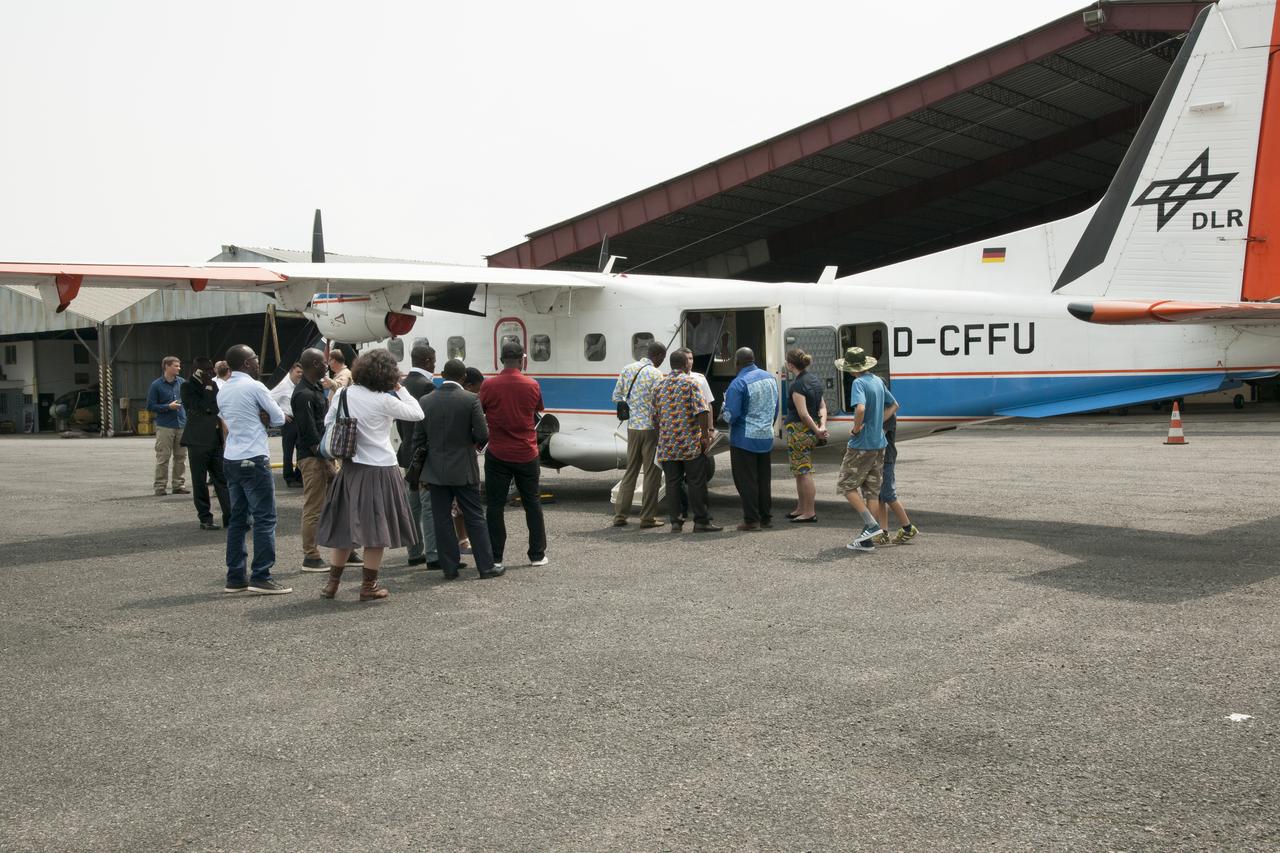
During an education outreach event in Gabon, Africa, students and educators, look at the German Aerospace Center Dornier DO-228 twin-engine turboprop aircraft.

Marc Simard of the Jet Propulsion Laboratory installs a gauge that will record water level changes in the Pongara Mongrove.
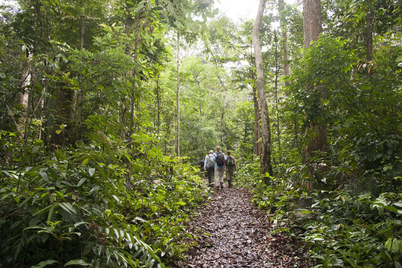
NASA researchers walk through the Mondah rainforest to collect tree and flora measurements and other data as part of the AfriSAR mission.

The synthetic aperture radar pod developed by JPL is slung beneath NASA's Gulfstream-III research testbed during flight tests.
An eight-foot-long pod designed to carry a synthetic aperture radar hangs from the underbelly of NASA's Gulfstream-III research testbed.
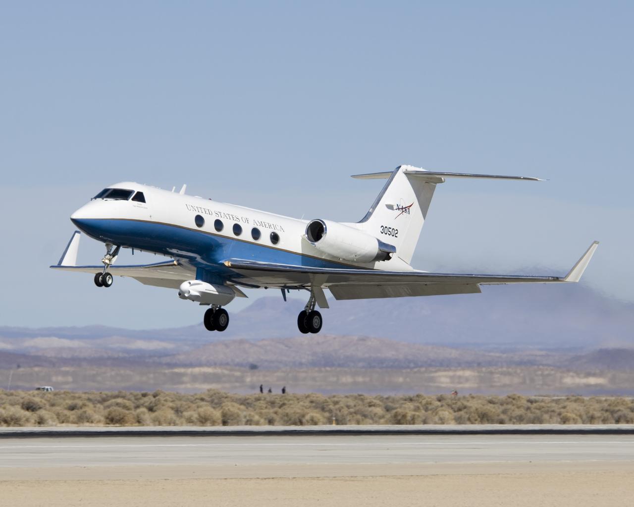
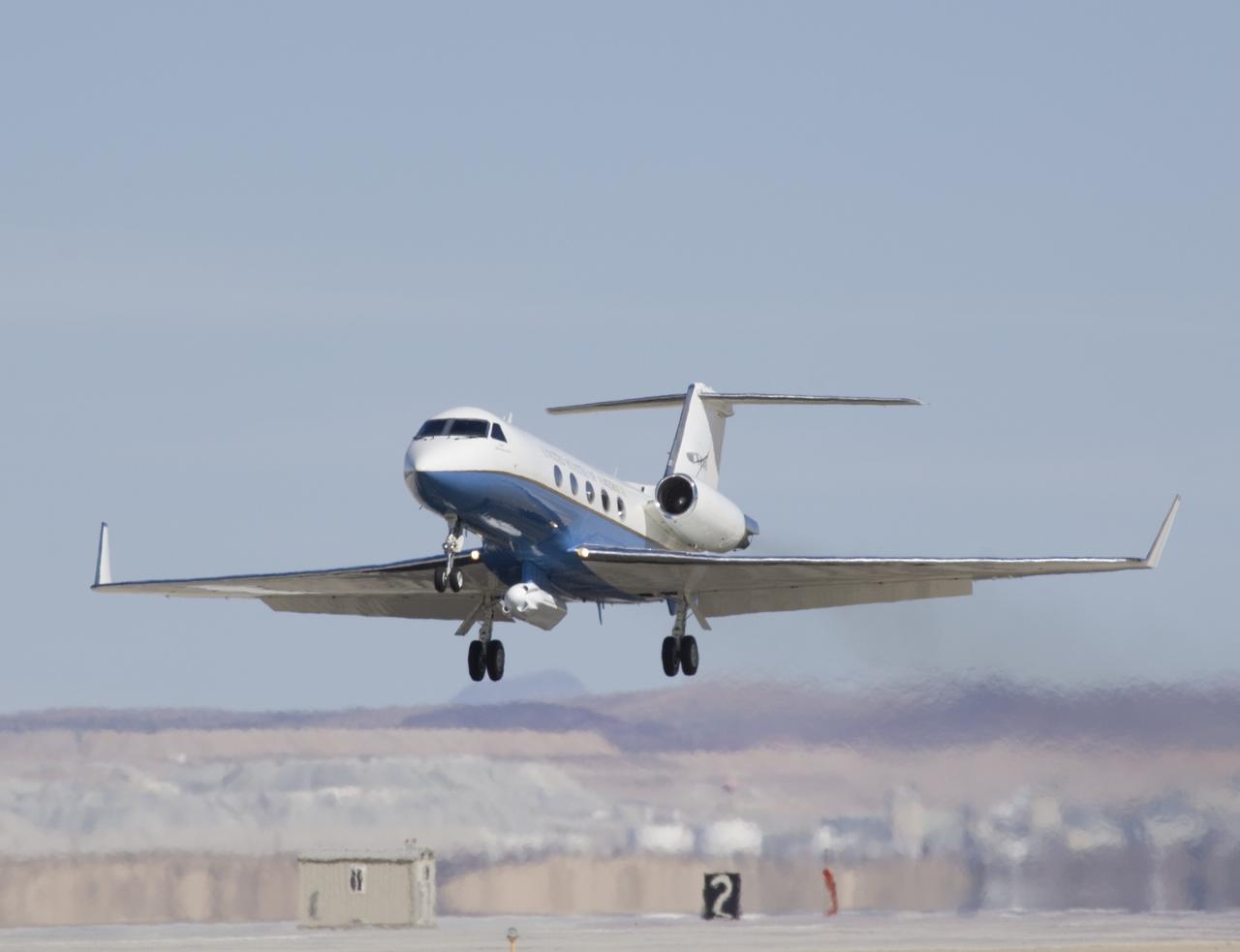
NASA's Gulfstream-III research testbed lifts off from Edwards AFB on a checkout test flight with the UAV synthetic aperture radar pod under its belly.

NASA's Gulfstream-III research testbed lifts off the Edwards AFB runway on an envelope-expansion flight test with the UAV synthetic aperture radar pod.
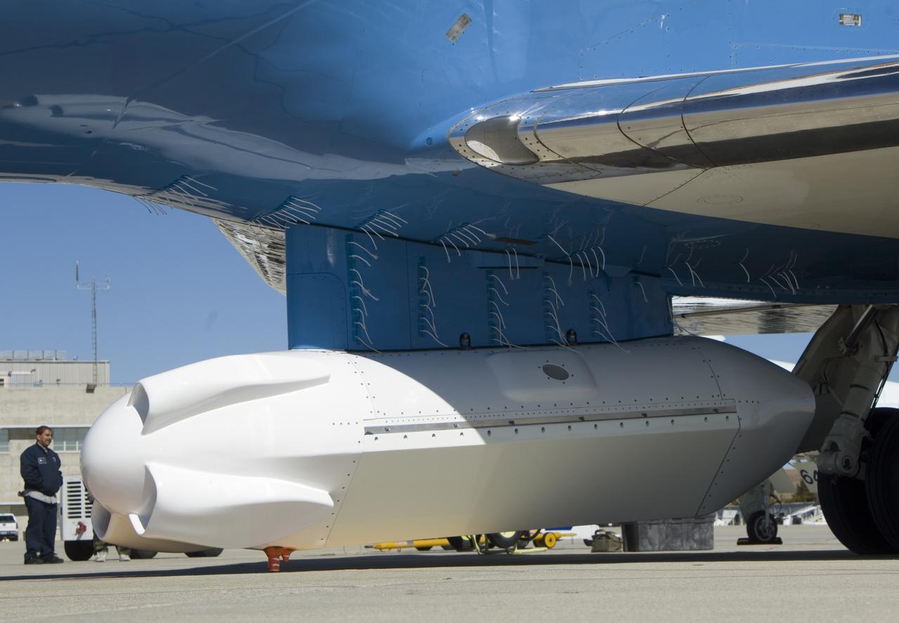
A forest of tufts are mounted on the underbelly and pylon of NASA's Gulfstream-III research aircraft to help engineers determine airflow around the UAVSAR pod.
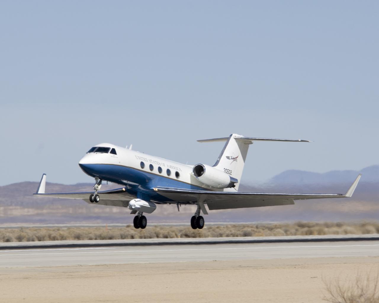
The effect of the underbelly UAVSAR pod on the aerodynamics of NASA's Gulfstream-III research aircraft was evaluated during several check flights in early 2007.
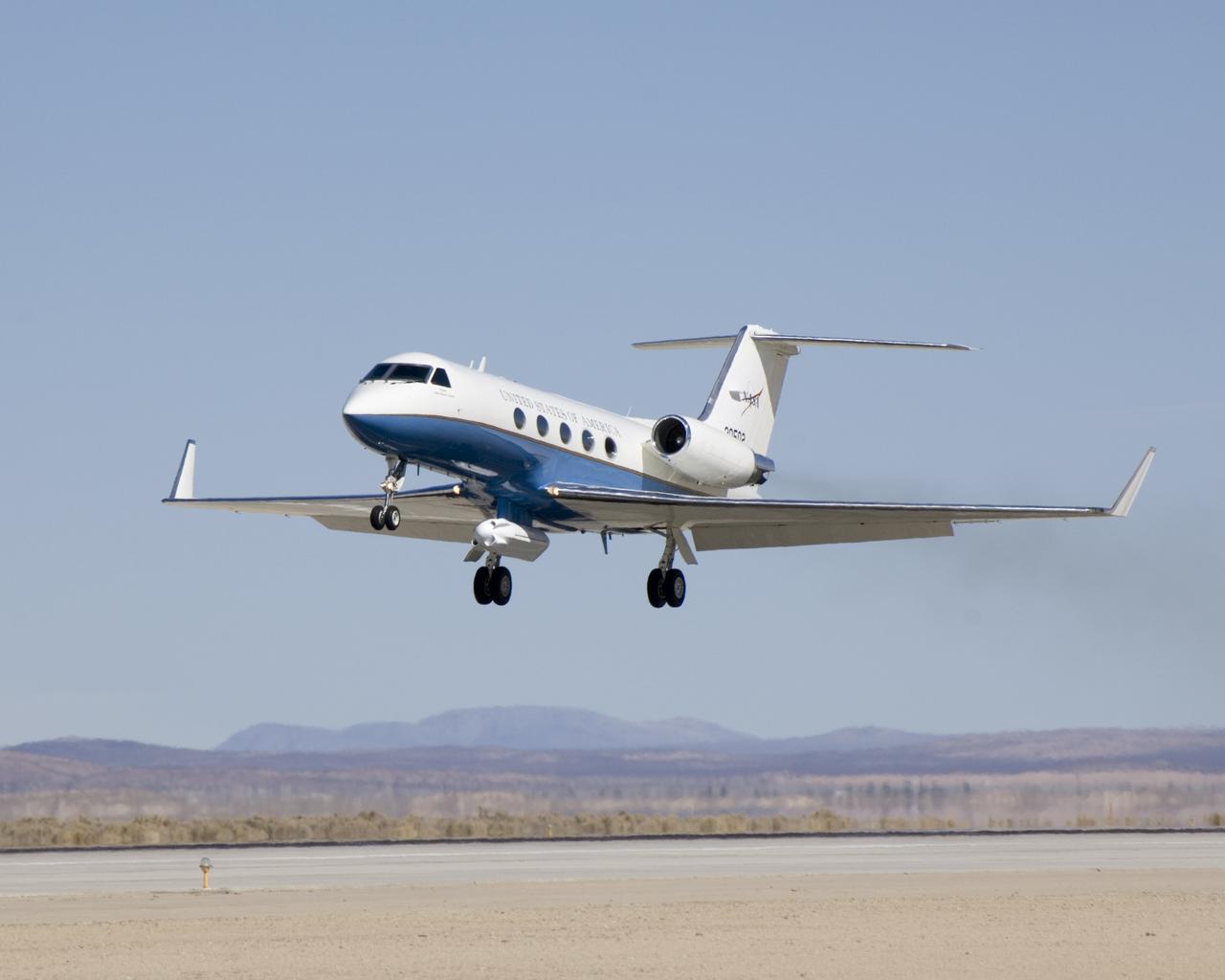
Shimmering heat waves trail behind NASA's Gulfstream-III research aircraft as it departs the Edwards AFB runway on a UAVSAR pod checkout test flight.
A half-dozen test flights in early 2007 evaluated the aerodynamic effect of the UAVSAR pod on the performance of NASA's Gulfstream-III research testbed.
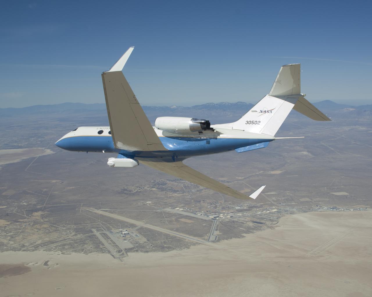
The UAVSAR underbelly pod is in clear view as NASA's Gulfstream-III research aircraft banks away over Edwards AFB during aerodynamic clearance flights.