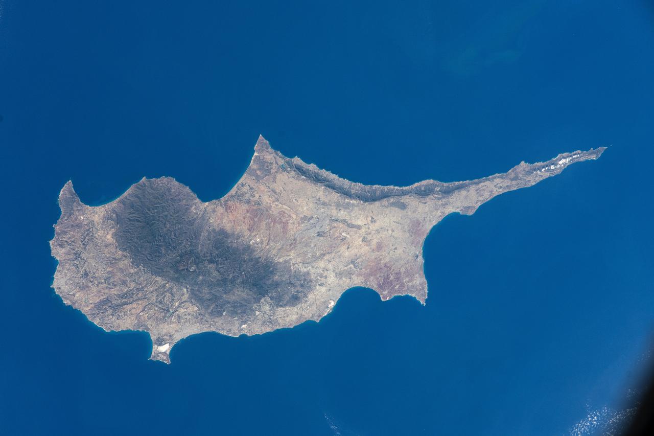
iss072e008767 (Sept. 28, 2024) -- Cyprus Island, the third largest in the Mediterranean Sea, was photographed by NASA astronaut Mike Barratt as the International Space Station orbited 257 miles above.
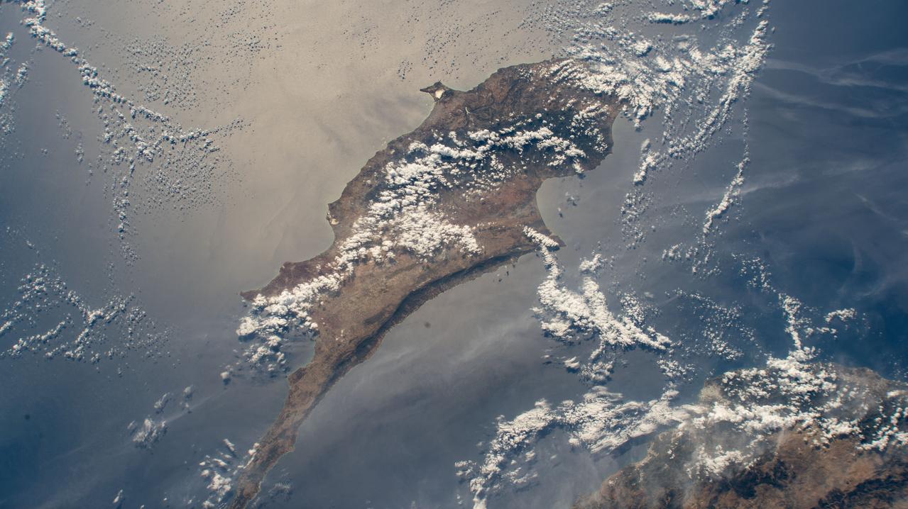
iss072e065376 (Oct. 17, 2024) --- The island Republic of Cyprus in the Mediterranean Sea is pictured from the International Space Station as it orbited 258 miles above the nation of Turkey.
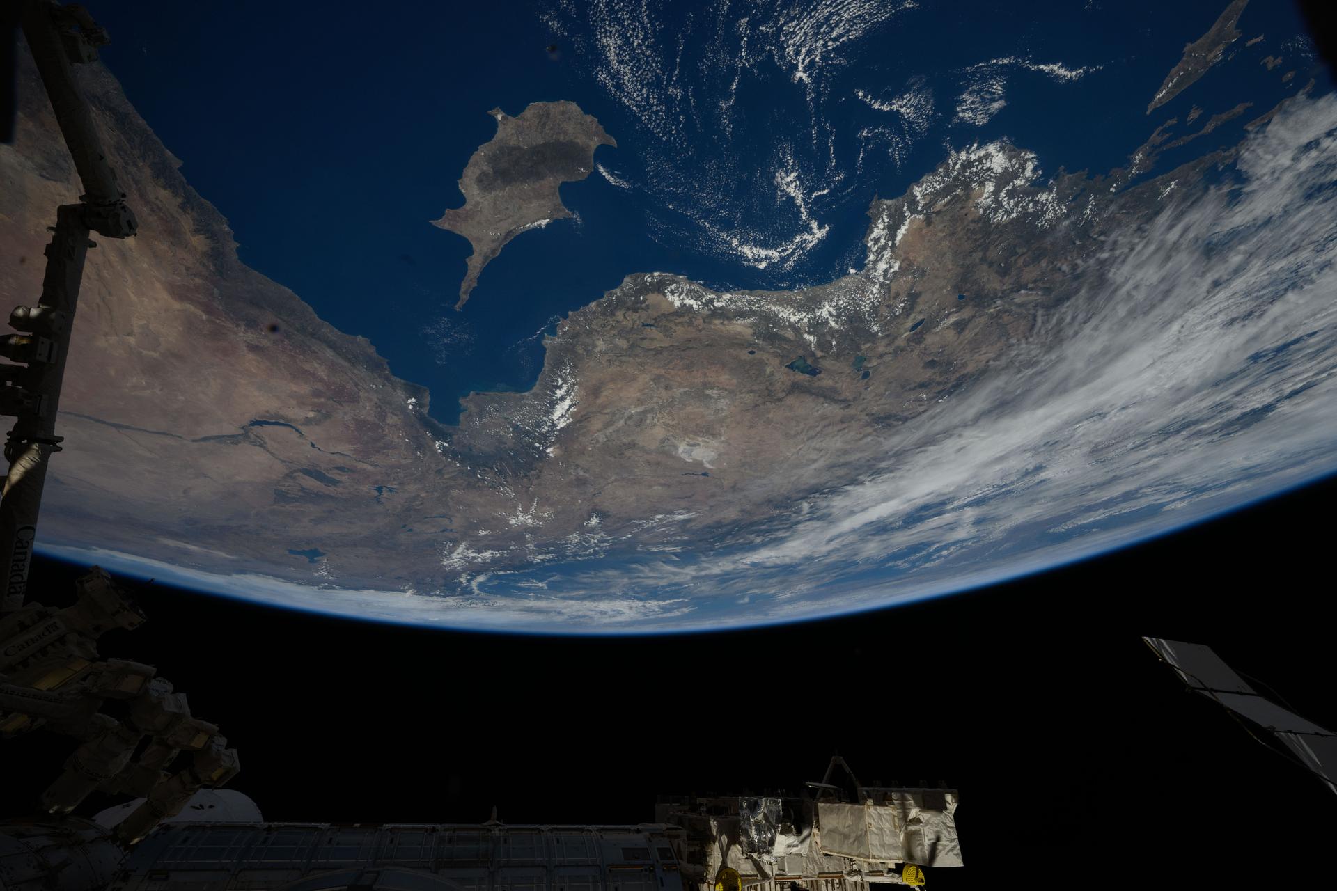
iss073e0906745 (Sept. 28, 2025) --- The Republic of Cyprus—an island inhabited for over 12,000 years and home to the world’s oldest named wine, produced for more than 4,000 years—is pictured in the Mediterranean Sea from the International Space Station as it orbited 262 miles above, heading northwest toward Türkiye.
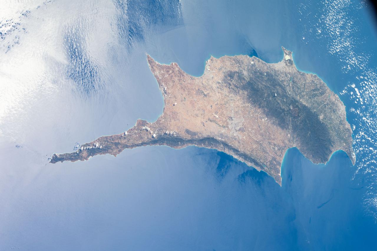
iss065e002119 (April 22, 2021) --- The island of Cyprus in the eastern Mediterranean Sea is pictured from the International Space Station as it orbited 263 above Aleppo, Syria.
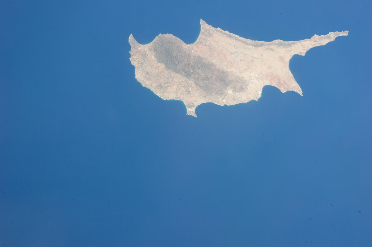
Earth observation taken during a day pass by an Expedition 36 crew member on board the International Space Station (ISS). Per Twitter message: Cyprus.
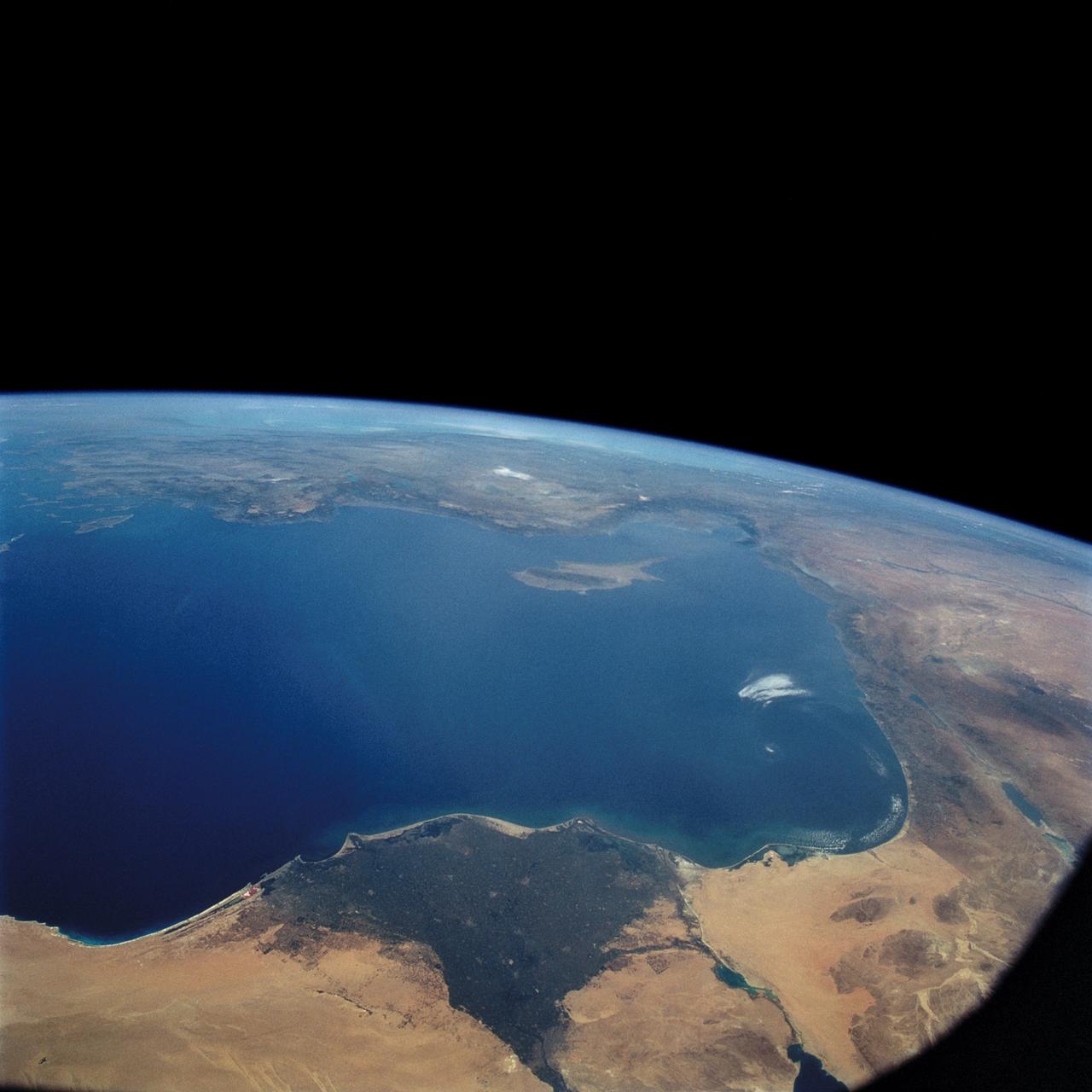
STS057-73-075 (21 June-1 July 1993) --- Eastern Mediterranean from an unusually high vantage point over the Nile River, this north-looking view shows not only the eastern Mediterranean but also the entire landmass of Asia Minor, with the Black Sea dimly visible at the horizon. Many of the Greek islands can be seen in the Aegean Sea (top left), off the coast of Asia Minor. Cyprus is visible under atmospheric dust in the northeast corner of the Mediterranean. The dust cloud covers the east end of the Mediterranean, its western edge demarcated by a line that cuts the center of the Nile Delta. This dust cloud originated far to the west, in Algeria, and moved northeast over Sicily, southern Italy, and Greece. Part of the cloud then moved on over the Black Sea, but another part swerved southward back towards Egypt. A gyre of clouds in the southeast corner of the Mediterranean indicates a complementary counterclockwise (cyclonic) circulation of air. The Euphrates River appears as a thin green line (upper right) in the yellow Syrian Desert just south of the blue-green mountains of Turkey. The Dead Sea (lower right) lies in a rift valley which extends north into Turkey and south thousands of miles down the Gulf of Aqaba, the Red Sea, and on through East Africa. The straight international boundary between Israel and Egypt (where the coastline angles) is particularly clear in this view, marked by the thicker vegetation on the Israeli side of the border. The green delta of the Nile River appears in the foreground, with the great conurbation of Cairo seen as a gray area at the apex of the triangle. Most of Egypt's 52 million inhabitants live in the delta. On the east side of the delta, the Suez Canal is visible. On the western corner of the delta lies the ancient city of Alexandria, beside the orange and white salt pans. The World War II battlesite El Alamein lies on the coast.

iss067e286515 (Aug. 21, 2022) --- This oblique view of Turkey and the island nation of Cyprus is pictured from the International Space Station as it orbited 257 miles above the Nile Delta in Egypt.
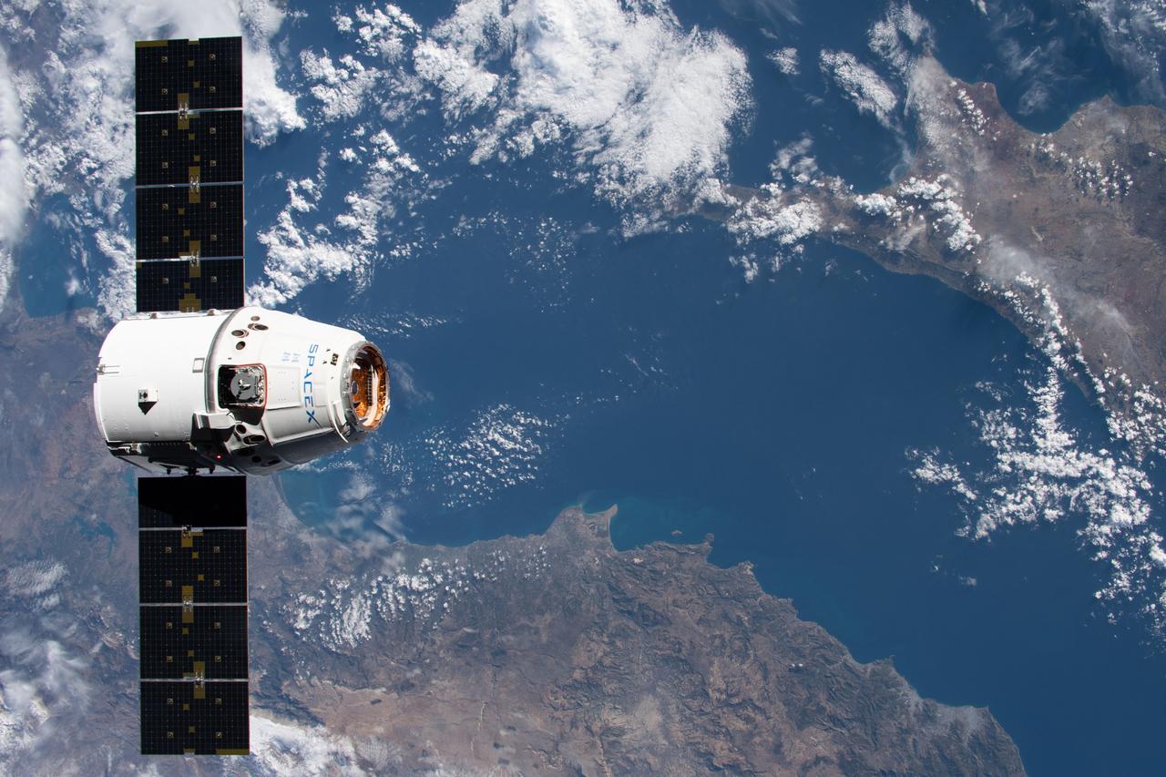
iss061e069087 (Dec. 8, 2019) --- The SpaceX Dragon resupply ship approaches the International Space Station as both spacecraft were orbiting 258 miles above the Mediterranean Sea in between Turkey and Cyprus.
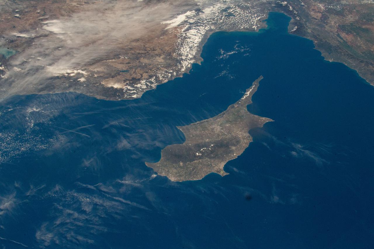
iss069e000764 (April 3, 2023) --- The International Space Station was orbiting 262 miles above the coast of Egypt when UAE (United Arab Emirates) astronaut and Expedition 69 Flight Engineer Sultan Alneyadi photographed the Turkish coast and the island of Cyprus in the Mediterranean Sea.
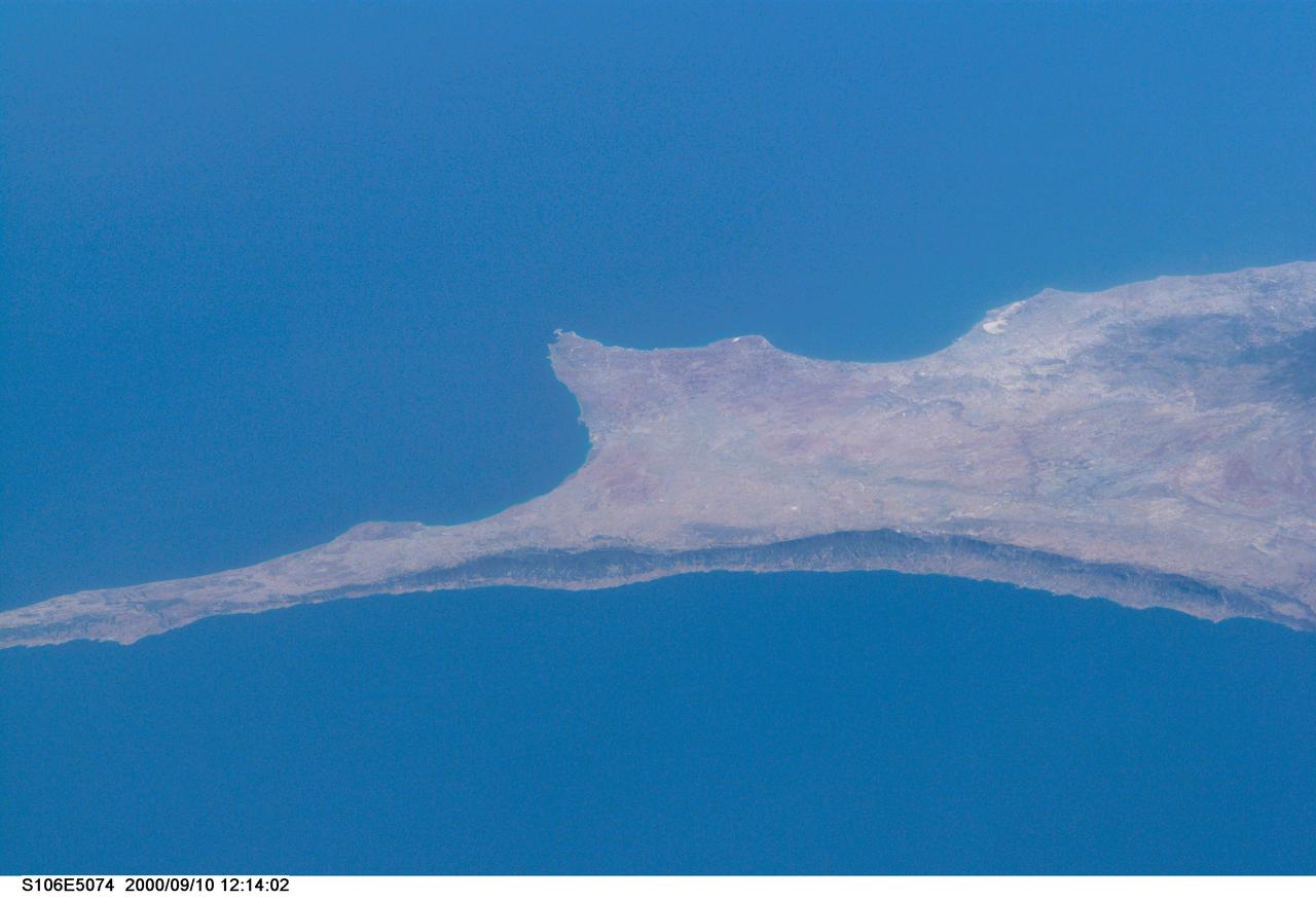
S106-E-5074 (10 September 2000) --- This south-looking view from the Space Shuttle Atlantis, flying above Turkey, features the Mediterranean island of Cyprus. The photo was taken with an electronic still camera (ESC) on Flight Day 3 of the scheduled 11-day STS-106 mission.
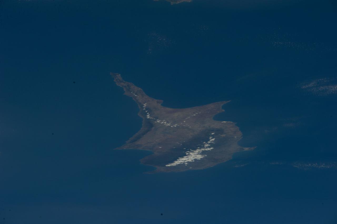
ISS040-E-017260 (23 June 2014) --- One of the Expedition 40 crew members aboard the International Space Station used a 200mm focal length to photograph this image of the island of Cyprus in the eastern Mediterranean Sea on June 23, 2014.

S131-E-008457 (8 April 2010) --- With the European Space Agency's Columbus module in the foreground, one of the STS-131 Discovery astronauts took this photo from the International Space Station while the two linked spacecraft were passing over the Mediterranean Sea approximately 215 miles below. The island of Cyprus is partially visible among the clouds.
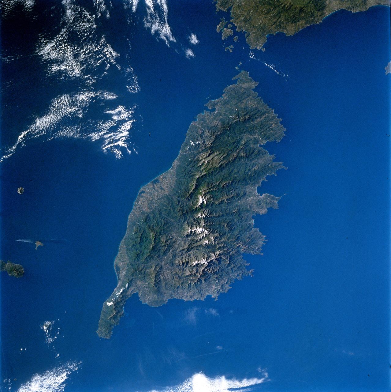
STS084-714-007 (15-24 May 1997) --- This 70mm image of the island of Corsica was photographed from the Space Shuttle Atlantis during the STS-84 mission. Birthplace of Napoleon Bonaparte, Corsica is the fourth largest island (after Sicily, Sardinia, and Cyprus) in the Mediterranean. Two-thirds of the island is mountainous with the majority of the population (1990-249, 737) living on the east coast (the "handle on the island points north). French is the official language.
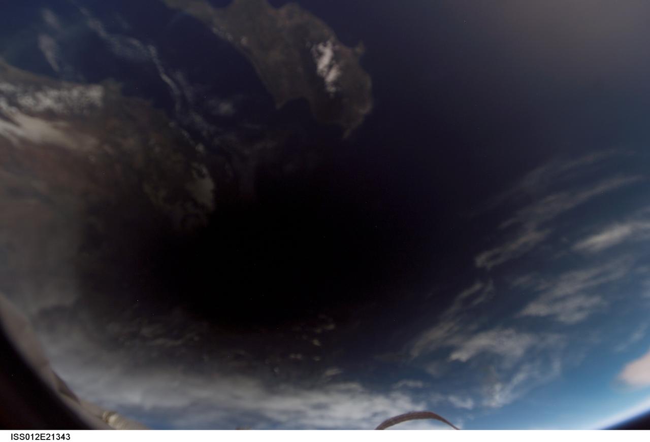
ISS012-E-21343 (29 Mar. 2006) --- The shadow of the moon falls on Earth as seen from the International Space Station, 230 miles above the planet, during a total solar eclipse at about 4:50 a.m. CST Wednesday, March 29. This digital photo was taken by the Expedition 12 crew, Commander William McArthur and Flight Engineer Valery Tokarev, who are wrapping up a six-month mission on the complex. Visible near the shadow are portions of Cyprus in the Mediterranean Sea and the coast of Turkey.
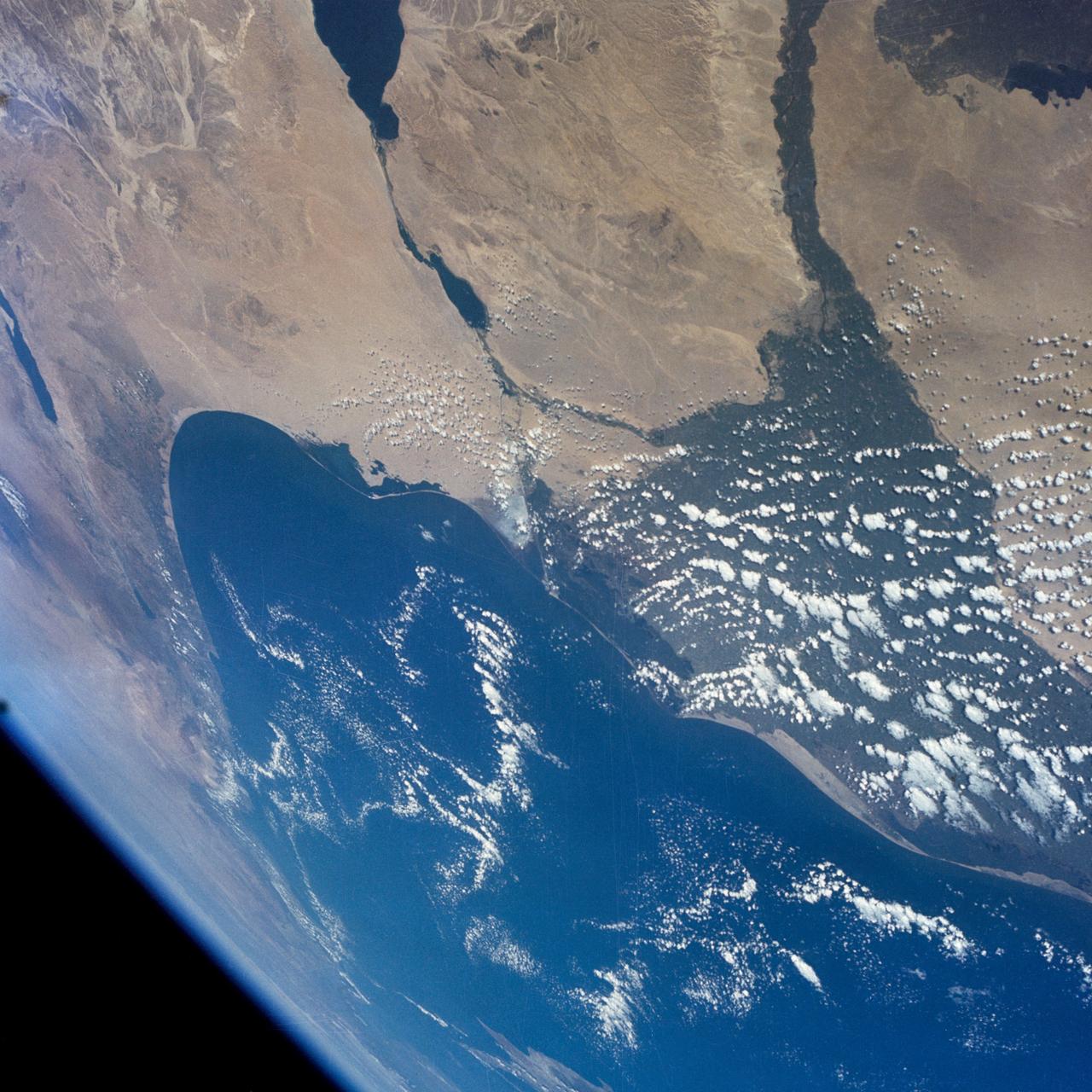
S65-63849 (8 Dec. 1965) --- The eastern Mediterranean area as seen from the National Aeronautics and Space Administration's Gemini-7 spacecraft. The Nile Delta in Egypt is at bottom. The Suez Canal, Gulf of Suez and Red Sea are in the center of the photograph. The Sinai Peninsula is in the upper right corner of the picture. The body of water at the top edge of the photograph is the Gulf of Aqaba. The Dead Sea can be seen at top center. Israel, Palestine, Jordan and Syria are also at top center. The Island of Cyprus is at extreme left. Astronauts Frank Borman and James A. Lovell Jr. took this picture using a modified 70mm Hasselblad camera, with Eastman Kodak, Ektachrome MS (S.O. 217) color film. Photo credit: NASA
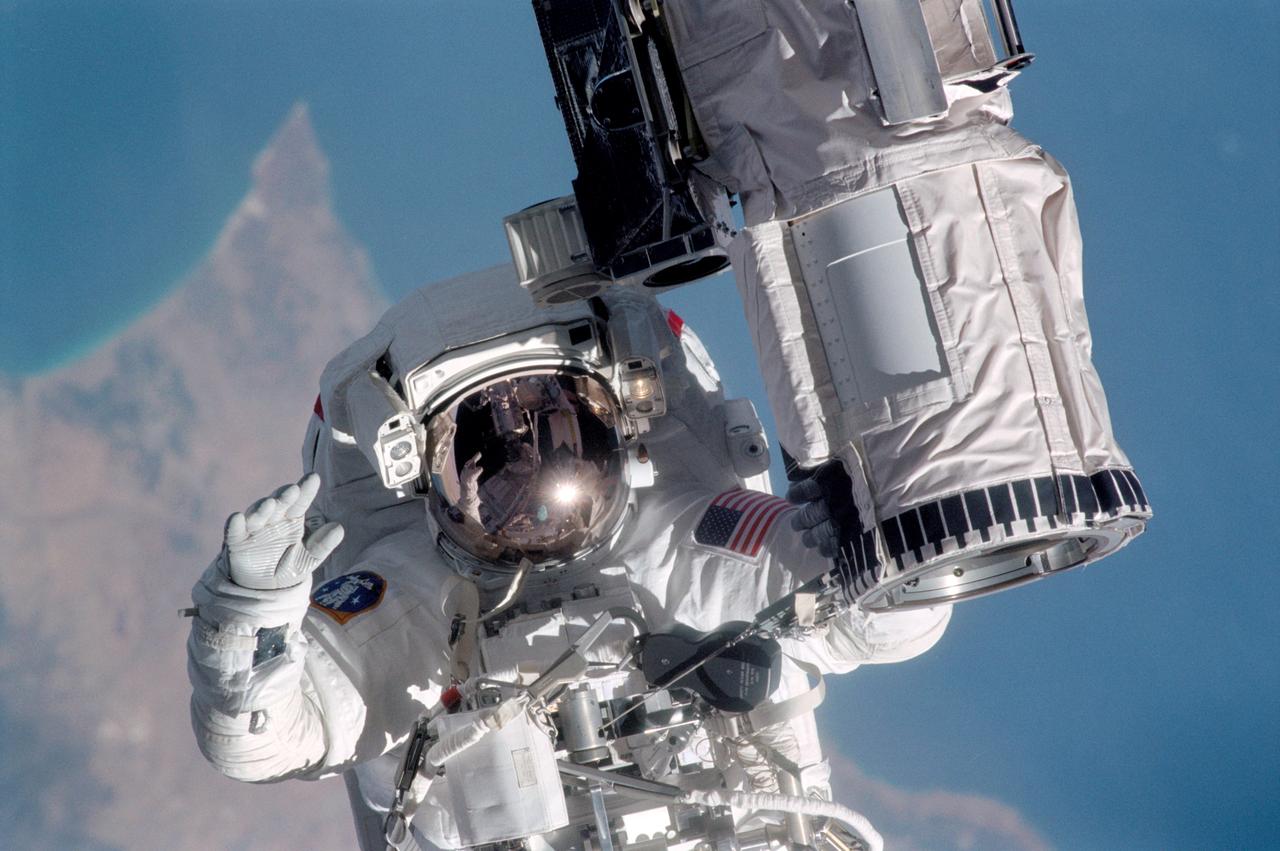
STS104-315-013 (12-24 July 2001) --- Holding onto the end effector of the Canadarm on the Space Shuttle Atlantis, astronaut Michael L. Gernhardt, STS-104 mission specialist, participates in one of three STS-104 space walks. The extravehicular activity (EVA) was designed to help wrap up the completion of work on the second phase of the International Space Station (ISS). Gernhardt was joined on the extravehicular activity (EVA) by astronaut James F. Reilly. The jutting peninsula in the background is Cape Kormakiti on the north central coast of Cyprus and the water body to the left of the cape is Morphu Bay.
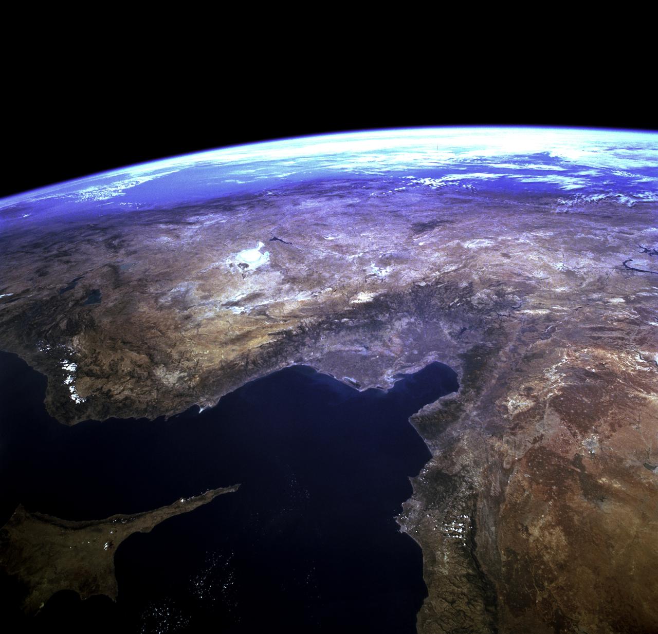
STS073-723-054 (21 October 1995) --- Central Turkey dominates this north-looking panorama, with the long fingered island of Cyprus lower left, surrounded by the deep blue waters of the Mediterranean Sea. Turkey's capital, Ankara, lies just north of the white bed of a dry lake in the center of the view. The city is supplied with water from the neighboring blue lake. The coast of Syria and Lebanon appear bottom right. Man-made lakes on the upper Euphrates River in eastern Turkey appear extreme right. According to scientists studying the STS-73 photo collection, the striking difference in visibility to north and south of Turkey suggests a pollution event over the Black Sea. Air pollution from East European industry flows down into the Black Sea basin, especially at the west end (haze top left) as shown in this view (compare clearer air top right).
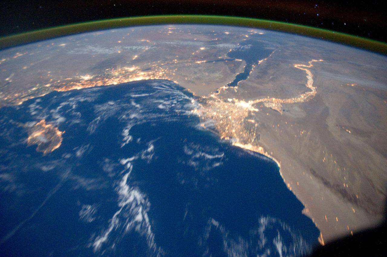
ISS029-E-031157 (15 Oct. 2011) --- One of the Expedition 29 crew members aboard the International Space Station recorded this oblique view showing the Mediterranean Sea area, including the Nile River and the river's delta, and the Sinai Peninsula, on Oct. 15, 2011. Cyprus is visible at left. At first look, the image appears to have been photographed in daylight, but actually it was taken at 01:01:08 GMT. Some areas of the photo like the river and river delta appear as the brightest areas because of either man-made lighting (mostly incandescent) or man-made lighting reflected off nearby surfaces. The other areas appear to be illuminated naturally by moonlight, starlight, or back-scattered light from the atmosphere. A 20-mm focal length was used to record the image.
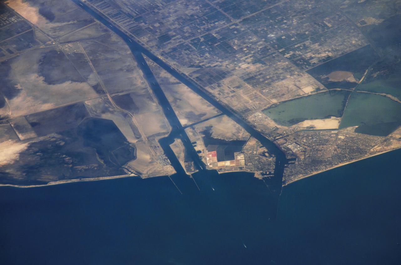
ISS013-E-44847 (30 June 2006) --- Ship traffic on the Suez Canal, Egypt is featured in this image photographed by an Expedition 13 crewmember on the International Space Station. This oblique photograph captures a northbound convoy of cargo ships entering the Mediterranean Sea from the Suez Canal in Egypt (leftmost canal branch at image center). Oblique images are taken at an angle other than vertical, or nadir -- looking down a line connecting the station to the point on the Earth's surface directly below it -- and this provides a sense of perspective. In this case, the station was located above the eastern coast of Cyprus and the crewmember was looking at Egypt to the southwest. Regions of reduced clarity in the image are caused by thin variable cloud cover. The Suez Canal connects Port Said on the Mediterranean Sea with the port of Suez on the Red Sea, and provides an essentially direct route for transport of goods between Europe and Asia. The Canal is 163 kilometers long and 300 meters wide at its narrowest point -- sufficiently wide for ships as large as aircraft carriers to traverse it. Transit time from end to end is 14 hours on average.