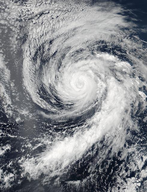
Hurricane Celia is currently in the Eastern Pacific Ocean, but once it passes west of 140 degrees west longitude, warnings on the system will be issued by NOAA's Central Pacific Hurricane Center. On July 11 at 22:05 UTC (6:05 p.m. EDT) the Visible Infrared Imaging Radiometer Suite (VIIRS) instrument aboard NASA-NOAA-DOD's Suomi NPP satellite captured a visible light image of Hurricane Celia that showed a cloud-filled eye with powerful bands of thunderstorms wrapping around the low level center. The VIIRS image also showed a large band of thunderstorms that extended to the south, wrapping into the storms' eastern quadrant. At 5 a.m. EDT (0900 UTC) on July 12 the center of Hurricane Celia was located near 16.2 north latitude and 127.9 west longitude. That's about 1,260 miles (2,025 km) west-southwest of the southern tip of Baja California, Mexico. It was moving to the west-northwest at 10 mph (17 kph) and NOAA's National Hurricane Center (NHC) expects Celia to turn toward the northwest later today, with this motion continuing Tuesday night and Wednesday. Maximum sustained winds were near 100 mph (155 kph). NHC forecasts weakening over the next two days and Celia could weaken to a tropical storm on Wednesday. Read more: NASA Sees Hurricane Celia Headed for Central Pacific Credit: NASA/Goddard/Jeff Schmaltz/MODIS Land Rapid Response Team <b><a href="http://www.nasa.gov/audience/formedia/features/MP_Photo_Guidelines.html" rel="nofollow">NASA image use policy.</a></b> <b><a href="http://www.nasa.gov/centers/goddard/home/index.html" rel="nofollow">NASA Goddard Space Flight Center</a></b> enables NASA’s mission through four scientific endeavors: Earth Science, Heliophysics, Solar System Exploration, and Astrophysics. Goddard plays a leading role in NASA’s accomplishments by contributing compelling scientific knowledge to advance the Agency’s mission. <b>Follow us on <a href="http://twitter.com/NASAGoddardPix" rel="nofollow">Twitter</a></b> <b>Like us on <a href="http://www.facebook.com/pages/Greenbelt-MD/NASA-Goddard/395013845897?ref=tsd" rel="nofollow">Facebook</a></b> <b>Find us on <a href="http://instagrid.me/nasagoddard/?vm=grid" rel="nofollow">Instagram</a></b>
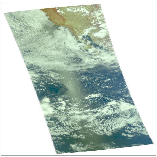
Hurricane Celia as observed by NASA's spaceborne Atmospheric Infrared Sounder (AIRS). This image shows Celia on July 23 in visible light, as you would perceive it from space. Located in the eastern north Pacific Ocean off the coast of Mexico, Celia's winds have now dissipated to highs of 40 mph. Celia was the first hurricane of the eastern north Pacific season. Figure 1 is a daylight snapshot taken on July 19; Celia as tropical storm, winds at 50mph. Figure 2 is a daylight snapshot taken on July 21; Celia has a small eye with an 80-90% closed eyewall; sustained winds at 75mph with gusts reaching 92mph; Celia is upgraded to hurricane status. http://photojournal.jpl.nasa.gov/catalog/PIA00438
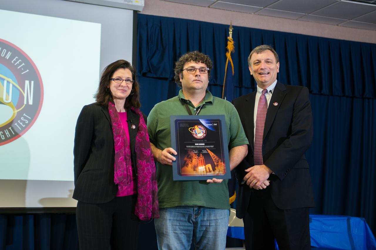
Michoud Assembly Facility Orion Program Event
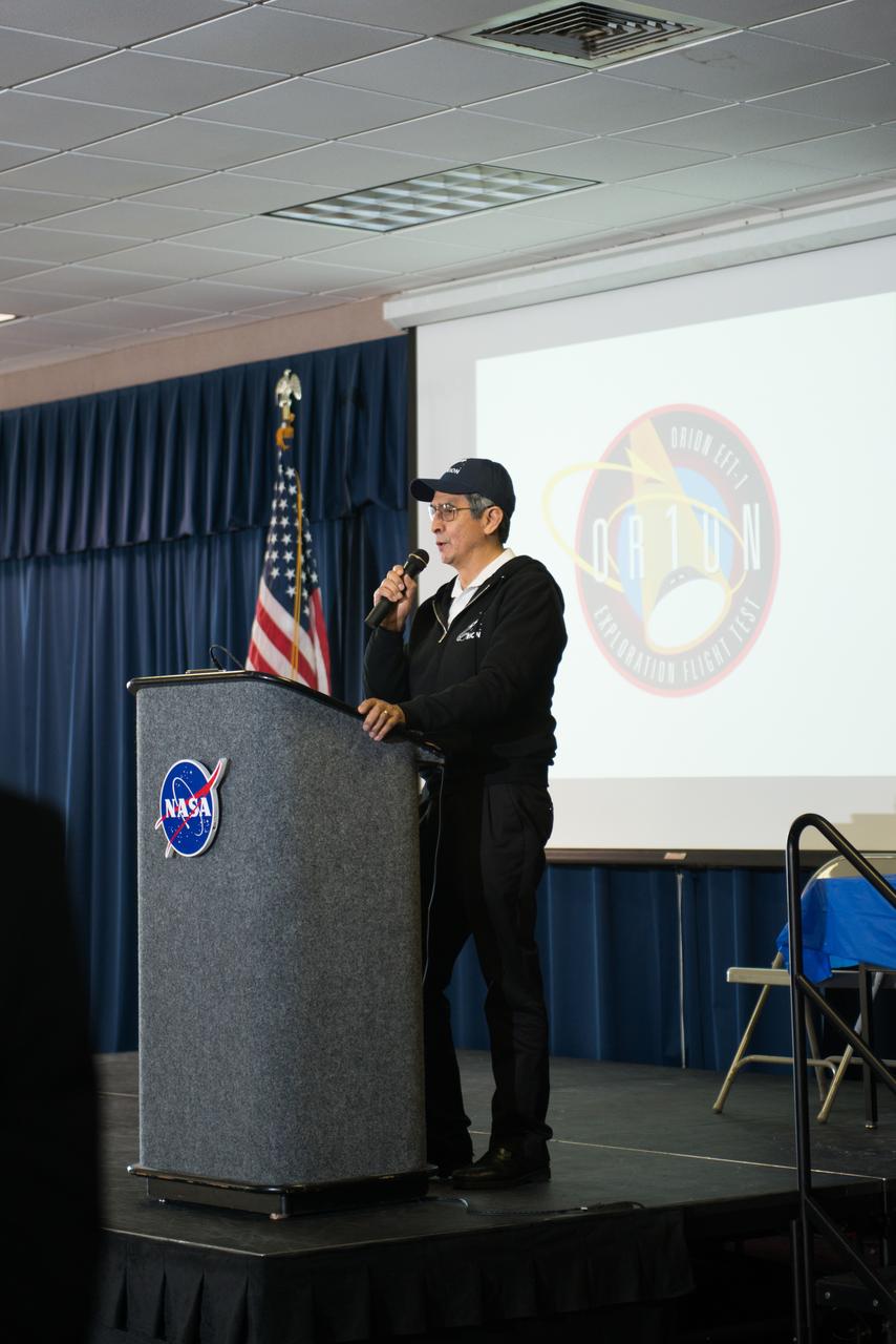
Michoud Assembly Facility Orion Program Event
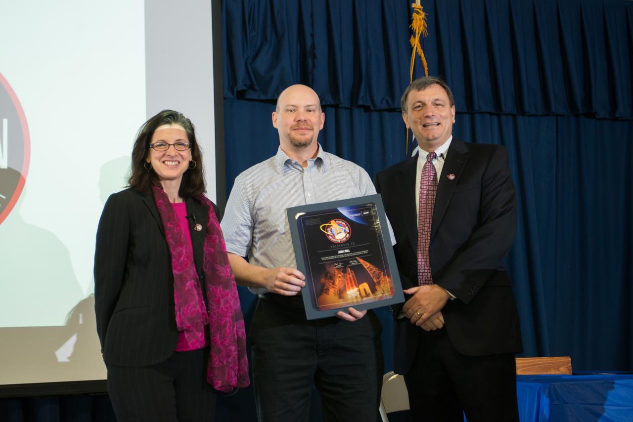
Michoud Assembly Facility Orion Program Event
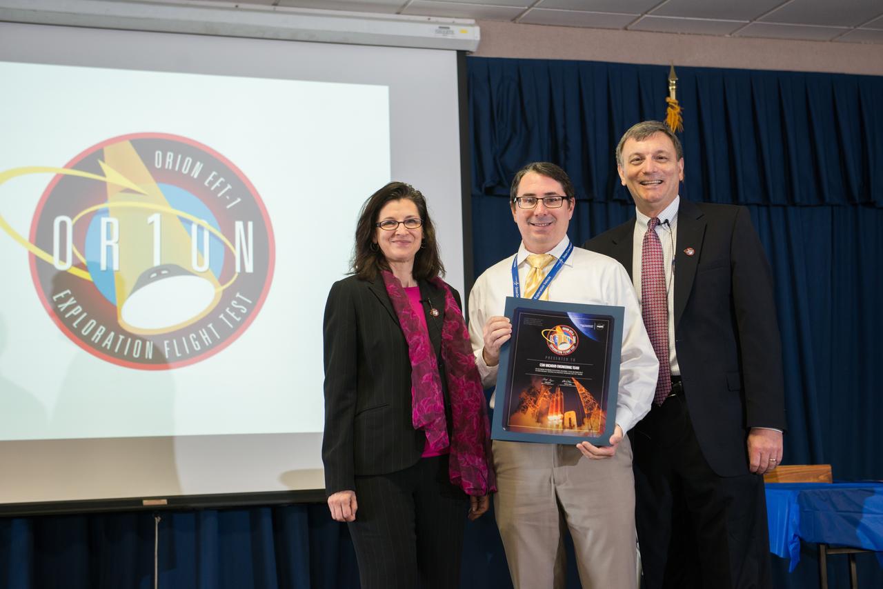
Michoud Assembly Facility Orion Program Event

Michoud Assembly Facility Orion Program Event