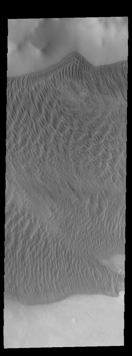
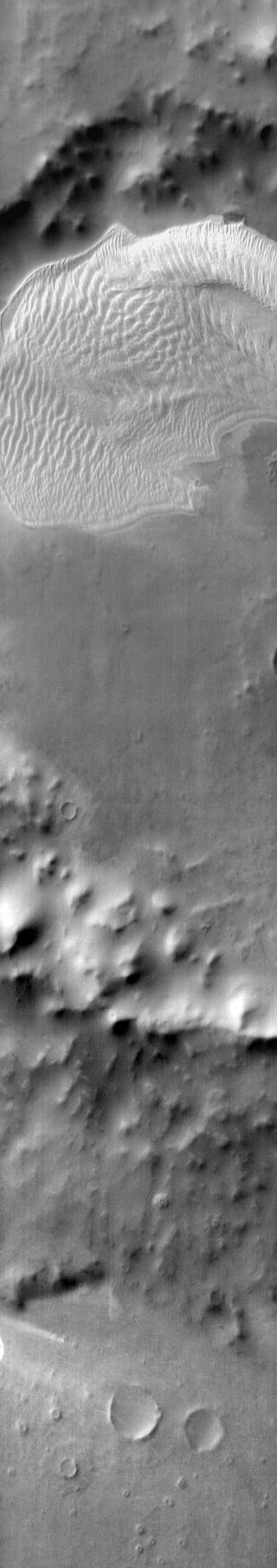
This image captured by NASA 2001 Mars Odyssey spacecraft shows part of the large sand sheet with surface dune forms on the floor of Charlier Crater in Terra Sirenum. Orbit Number: 67288 Latitude: -68.1351 Longitude: 191.161 Instrument: VIS Captured: 2017-02-13 09:50 https://photojournal.jpl.nasa.gov/catalog/PIA21526
Charlier Crater Dunes
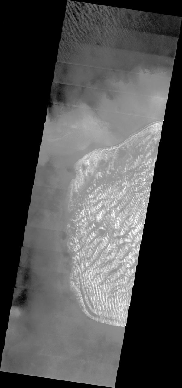
This image from NASA 2001 Mars Odyssey spacecraft had been targeted on the dunes on the floor of Charlier Crater. Unfortunately, clouds are obscuring the view of the surface.
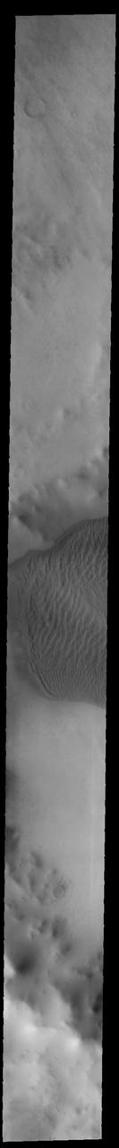
This VIS image shows part of the large sand sheet with surface dune forms on the floor of Charlier Crater in Terra Sirenum. Orbit Number: 91804 Latitude: -68.028 Longitude: 190.573 Instrument: VIS Captured: 2022-08-25 10:08 https://photojournal.jpl.nasa.gov/catalog/PIA25644
This daytime infrared image shows the large sand sheet on the floor of Charlier Crater. The brightness is due to the warmth of the sand during the day.
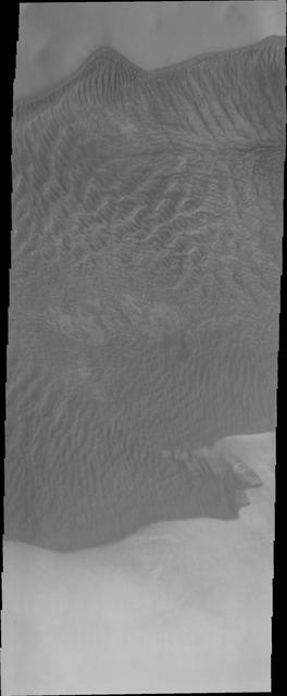
This VIS image of Charlier Crater sand sheet was taken at the same time as yesterday THEMIS IR image. In this image the dunes are darker than the surroundings, unlike yesterday thermal image.