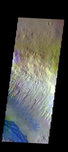
The THEMIS VIS camera contains 5 filters. The data from different filters can be combined in multiple ways to create a false color image. These false color images may reveal subtle variations of the surface not easily identified in a single band image. Today's false color image shows part of Danielson Crater. The dark blue feature at the bottom of the image are sand dunes on the floor of the crater. Orbit Number: 48086 Latitude: 8.33987 Longitude: 353.137 Instrument: VIS Captured: 2012-10-16 13:46 http://photojournal.jpl.nasa.gov/catalog/PIA21198
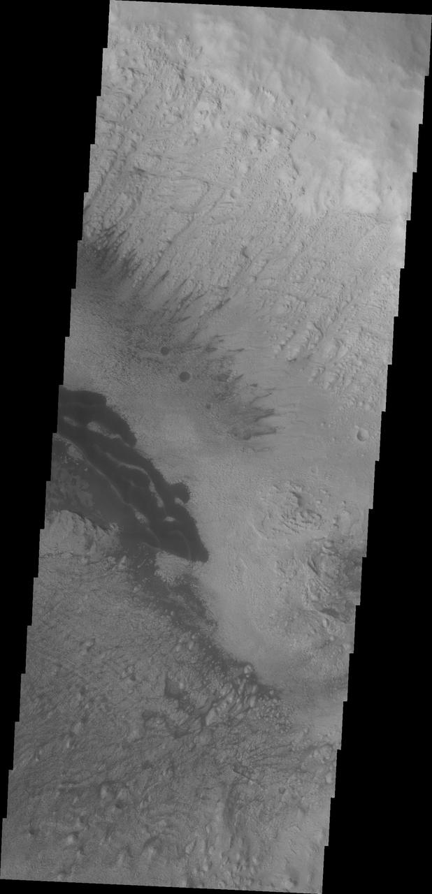
The dark material in this VIS image of Danielson Crater are dunes at the foot of the fill material located on the southwestern end of the crater floor.
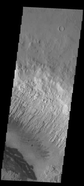
This image captured by NASA 2001 Mars Odyssey spacecraft shows some the sand dunes on the floor of Danielson Crater.
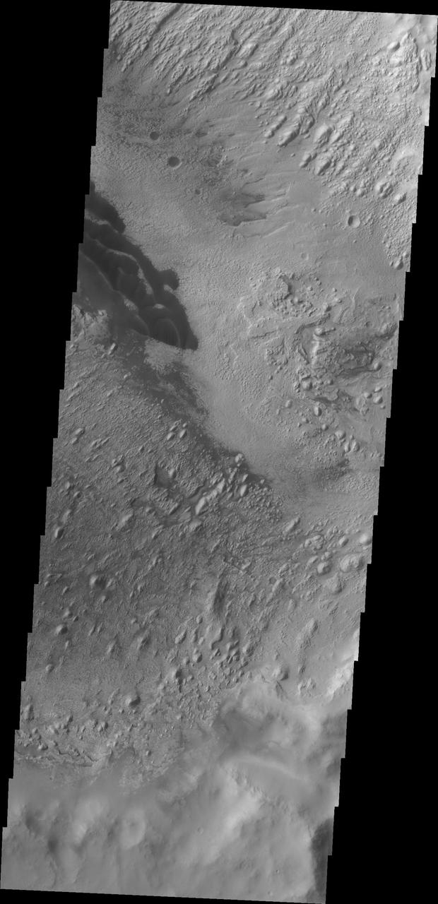
These dark dunes captured by NASA 2001 Mars Odyssey are located on the floor of Danielson Crater in Meridiani Planum.
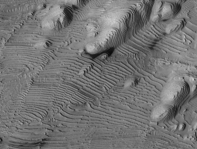
Rhythmic patterns of sedimentary layering in Danielson Crater on Mars result from periodic changes in climate related to changes in tilt of the planet in this image was taken by NASA Mars Reconnaissance Orbiter.
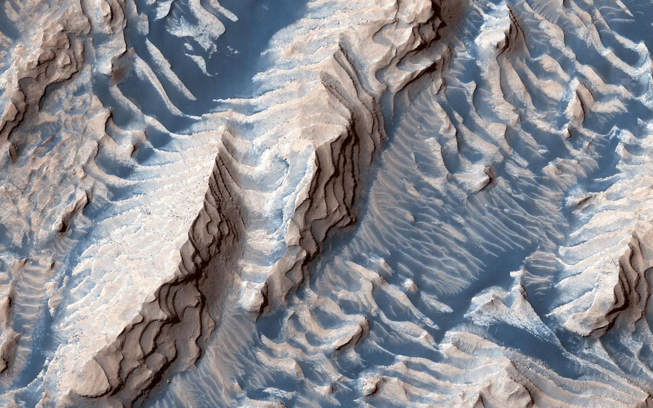
This image shows sedimentary rock and sand within Danielson Crater, an impact crater 67 kilometers in diameter, located in the southwest Arabia Terra region of Mars. The rock was formed millions or billions of years ago when loose sediments settled into the crater, one layer at a time, and were later cemented in place. Cyclical variations in the sediment properties made some layers more resistant to erosion than others. After eons, these tougher layers protrude outward like stair steps. Across these steps, the winds have scattered sand (typically appearing darker and less red, i.e. "bluer" in contrast-enhanced color), giving rise to the zebra stripe-like patterns visible here. This image completes a stereo pair over this location, which will allow measurement of the thicknesses of these sedimentary layers. The layer thicknesses and how they vary through time can provide some insight into the processes, possibly linked to ancient climate, that deposited the layers so long ago. https://photojournal.jpl.nasa.gov/catalog/PIA23454

The THEMIS VIS camera contains 5 filters. The data from different filters can be combined in multiple ways to create a false color image. These false color images may reveal subtle variations of the surface not easily identified in a single band image. Today's false color image shows part of the floor of Danielson Crater. This crater has deposits of material on the floor that have the appearance of wind erosion. The ridges and elongate hills are indications of wind direction. The dark blue material in this image is sand, most likely basaltic. The sand has formed dunes, but also can be seen filling small valleys to the upper right of the main dune. Orbit Number: 13206 Latitude: 7.82772 Longitude: 353.071 Instrument: VIS Captured: 2004-12-05 18:35 http://photojournal.jpl.nasa.gov/catalog/PIA20082