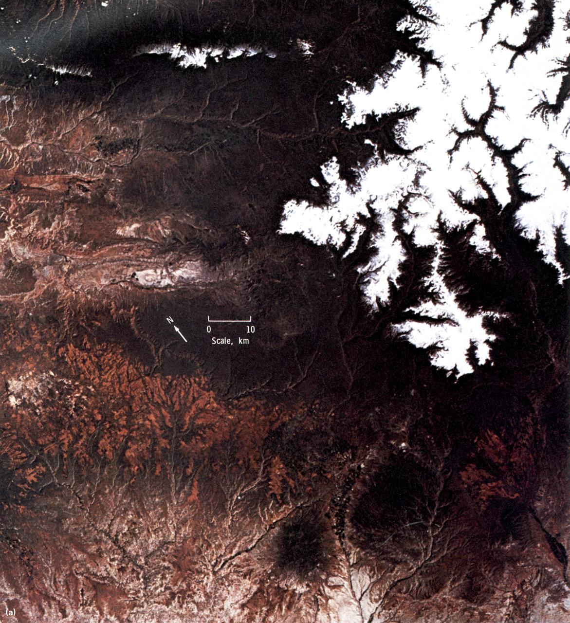
This EREP color photograph of the Uncompahgre Plateau area of Colorado was taken in June of 1973 by the Skylab Multi-spectral Photographic Camera (Skylab EREP Experiment S190A) of the Multi-spectral Photographic Facility during the Skylab-2 Mission.
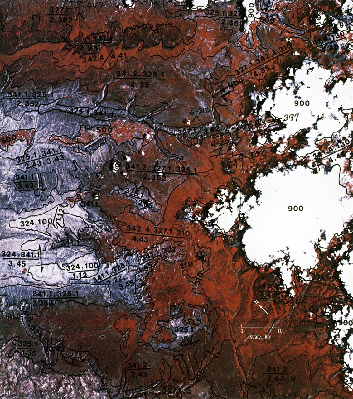
This EREP photograph of the Uncompahgre Plateau area of Colorado illustrates the land use classification using the hierarchical numbering system to depict land forms and vegetative patterns. The numerator is a three-digit number with decimal components identifying the vegetation analog or land use conditions. The denominator uses a three-component decimal system for landscape characterization.
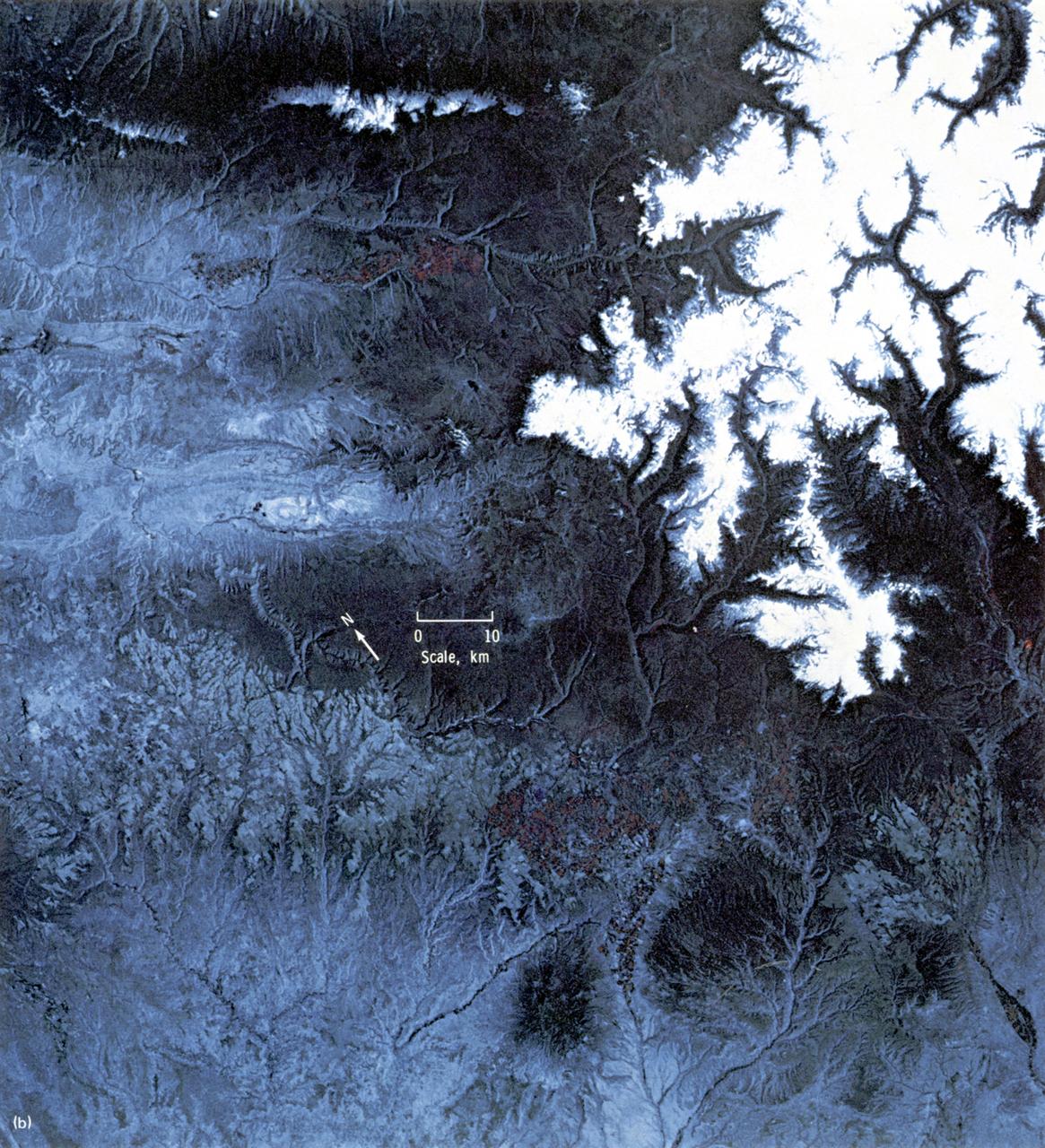
This high-resolution color infrared photograph of the Uncompahgre Plateau area of Colorado was taken by the Multi-spectral Photographic Camera (Skylab EREP Experiment S190A) of the Skylab's Multi-spectral Photographic Facility during the Skylab-3 mission.
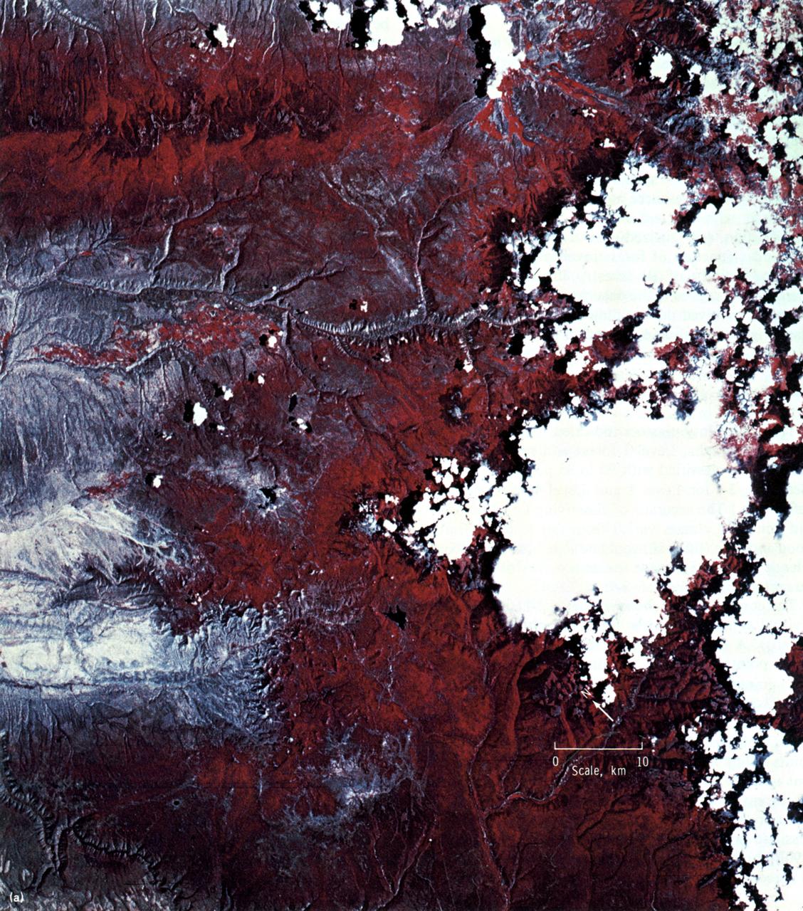
This EREP color infrared photograph of the Uncompahgre Plateau area of Colorado was taken in June of 1973 by the Earth Terrain Camera (Skylab EREP Experiment S190B) of the Skylab's Multi-spectral Photographic Facility during the Skylab-2 mission. Skylab stereoscopic data provided the best identification of vegetation complexes and delineation of vegetation boundaries, particularly in areas where changes in relief were related to changes in vegetation type (a common occurrence in wild-land vegetation communities).