
Brian McLendon, VP of Engineering, Google, Inc., speaks during a press conference, Monday, July 20, 2009, announcing the launch of Moon in Google Earth, an immersive 3D atlas of the Moon, accessible within Google Earth 5.0, Monday, July 20, 2009, at the Newseum in Washington. Photo Credit: (NASA/Bill Ingalls)
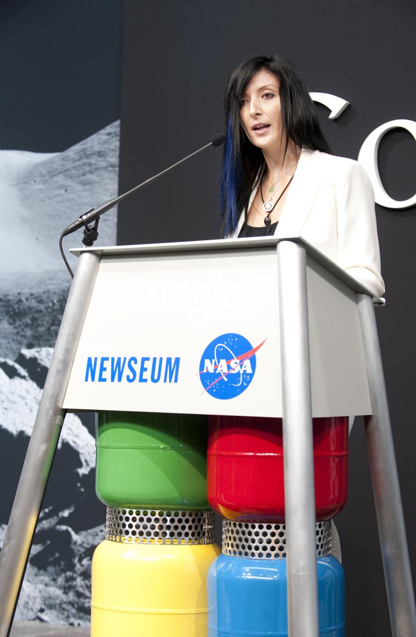
Tiffany Montague, Technical Program Manager for NASA and Google Lunar X PRIZE, Google, Inc., speaks during a press conference, Monday, July 20, 2009, announcing the launch of Moon in Google Earth, an immersive 3D atlas of the Moon, accessible within Google Earth 5.0, Monday, July 20, 2009, at the Newseum in Washington. Photo Credit: (NASA/Bill Ingalls)

Andrew Chaikin, author of "A Man on the Moon" speaks during a press conference, Monday, July 20, 2009, announcing the launch of Moon in Google Earth, an immersive 3D atlas of the Moon, accessible within Google Earth 5.0, Monday, July 20, 2009, at the Newseum in Washington. Photo Credit: (NASA/Bill Ingalls)
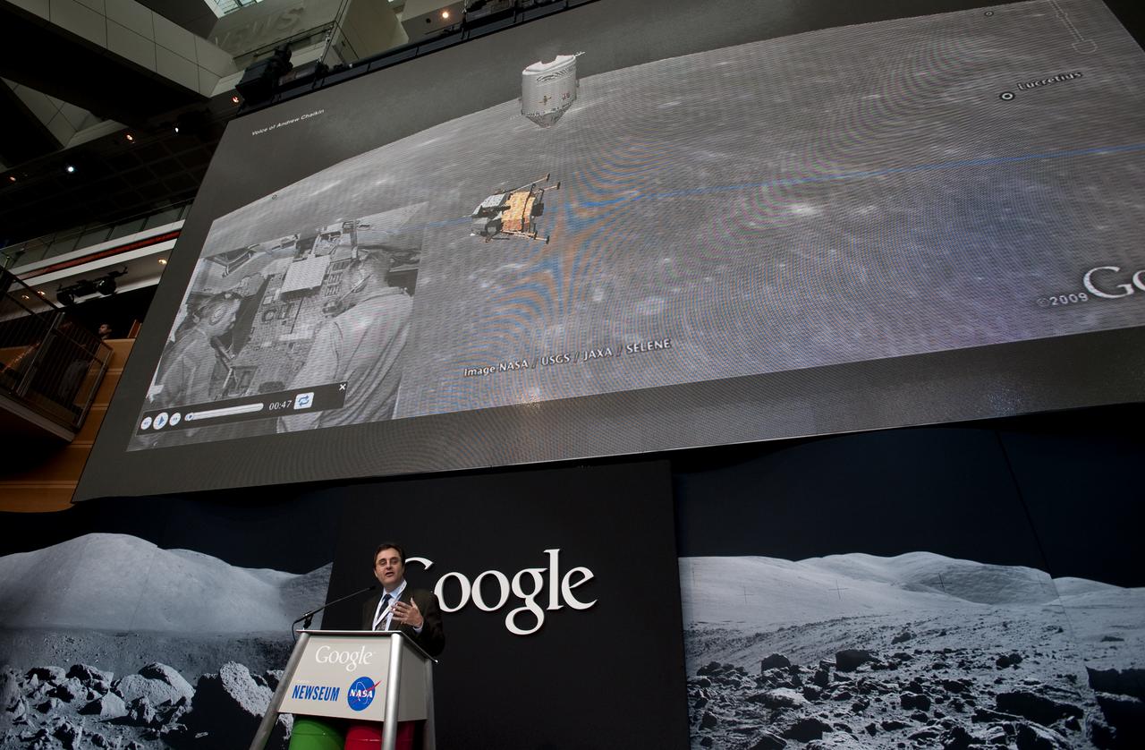
Andrew Chaikin, author of "A Man on the Moon" speaks during a press conference, Monday, July 20, 2009, announcing the launch of Moon in Google Earth, an immersive 3D atlas of the Moon, accessible within Google Earth 5.0, Monday, July 20, 2009, at the Newseum in Washington. Photo Credit: (NASA/Bill Ingalls)
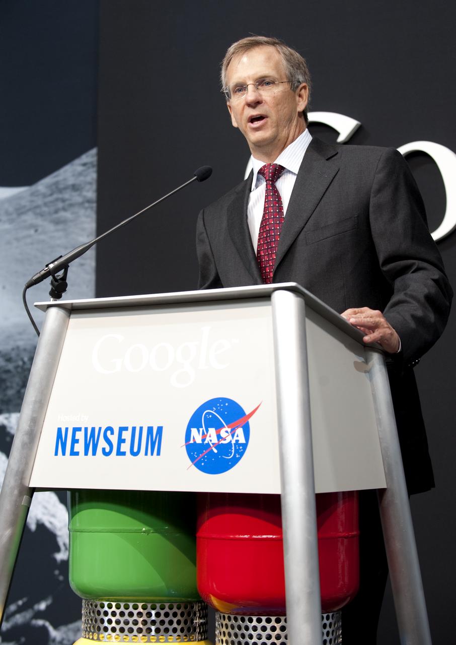
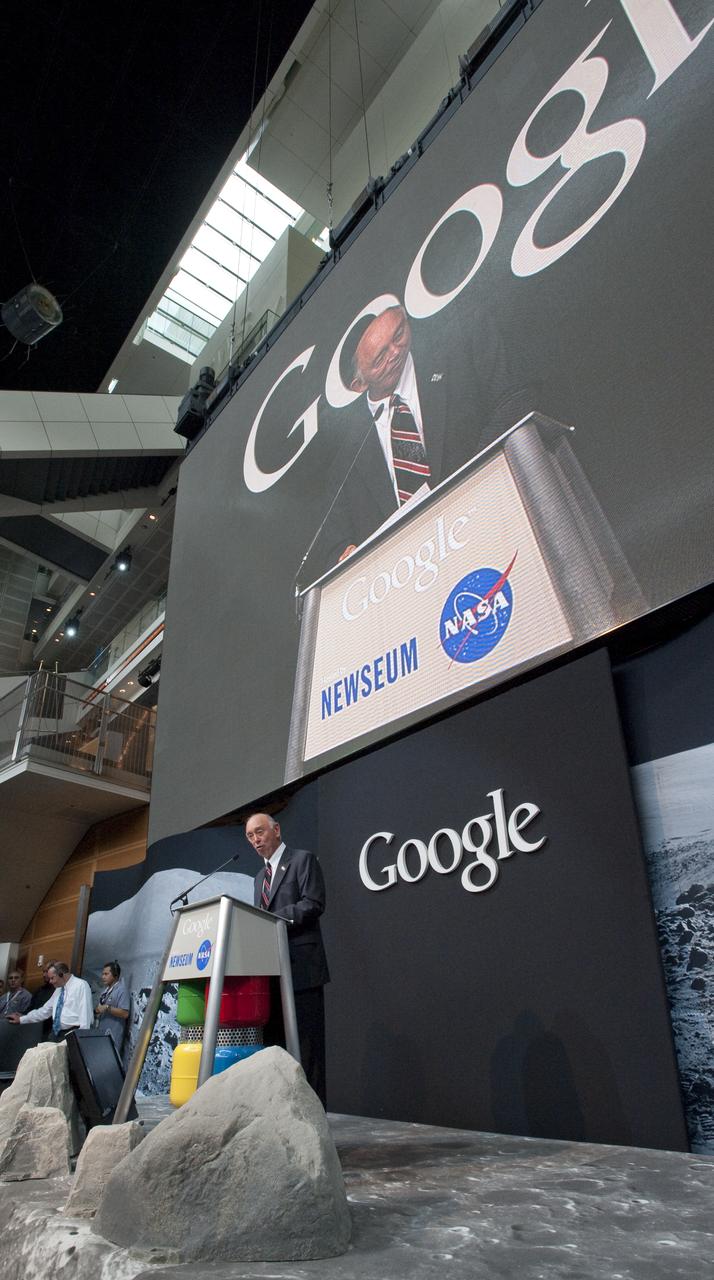
Alan Eustace, Senior VP of Engineering and Research, Google, Inc., speaks during a press conference, Monday, July 20, 2009, announcing the launch of Moon in Google Earth, an immersive 3D atlas of the Moon, accessible within Google Earth 5.0, Monday, July 20, 2009, at the Newseum in Washington. Photo Credit: (NASA/Bill Ingalls)
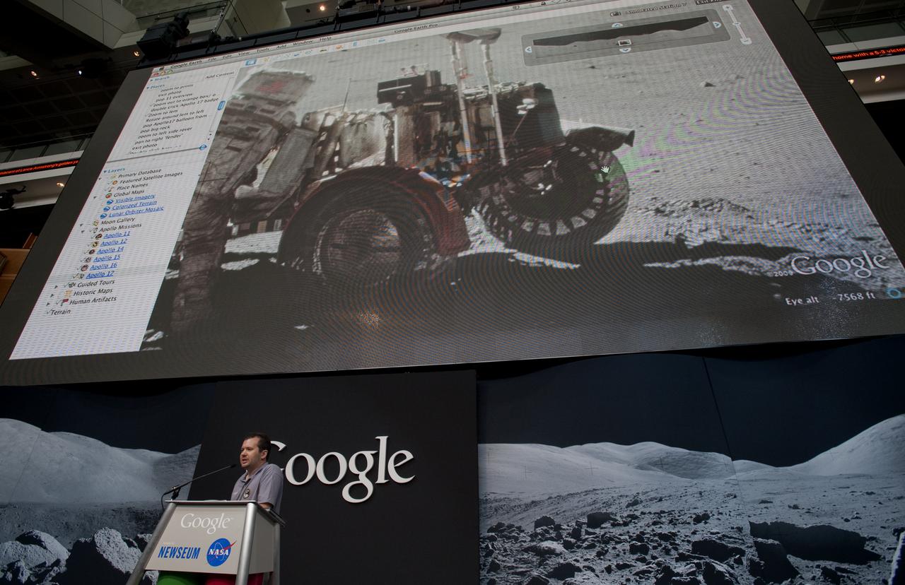
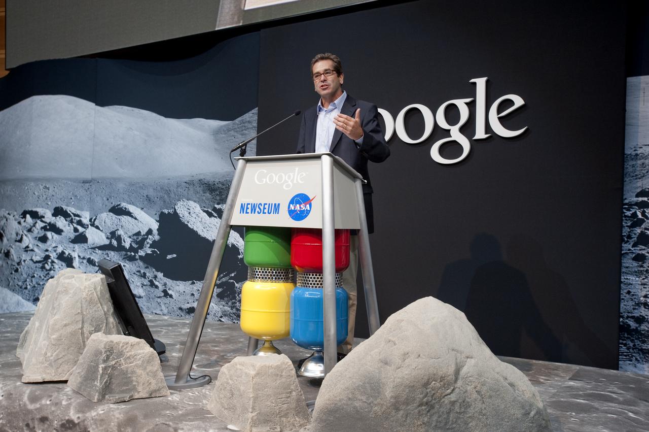
Michael Weiss-Malik, Product Manager for Moon in Google Earth, Google, Inc., speaks during a press conference, Monday, July 20, 2009, announcing the launch of Moon in Google Earth, an immersive 3D atlas of the Moon, accessible within Google Earth 5.0, Monday, July 20, 2009, at the Newseum in Washington. Photo Credit: (NASA/Bill Ingalls)
Miles O'Brien, former chief science and tech correspondent for CNN, speaks during a press conference, Monday, July 20, 2009, announcing the launch of Moon in Google Earth, an immersive 3D atlas of the Moon, accessible within Google Earth 5.0, Monday, July 20, 2009, at the Newseum in Washington. Photo Credit: (NASA/Bill Ingalls)
Miles O'Brien, former chief science and tech correspondent for CNN, speaks during a press conference, Monday, July 20, 2009, announcing the launch of Moon in Google Earth, an immersive 3D atlas of the Moon, accessible within Google Earth 5.0, Monday, July 20, 2009, at the Newseum in Washington. Photo Credit: (NASA/Bill Ingalls)
Miles O'Brien, former chief science and tech correspondent for CNN, speaks during a press conference, Monday, July 20, 2009, announcing the launch of Moon in Google Earth, an immersive 3D atlas of the Moon, accessible within Google Earth 5.0, Monday, July 20, 2009, at the Newseum in Washington. Photo Credit: (NASA/Bill Ingalls)
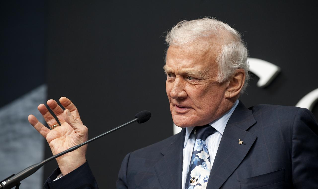
Buzz Aldrin, the second man to walk on the moon, speaks during a press conference, Monday, July 20, 2009, announcing the launch of Moon in Google Earth, an immersive 3D atlas of the Moon, accessible within Google Earth 5.0, Monday, July 20, 2009, at the Newseum in Washington. Photo Credit: (NASA/Bill Ingalls)
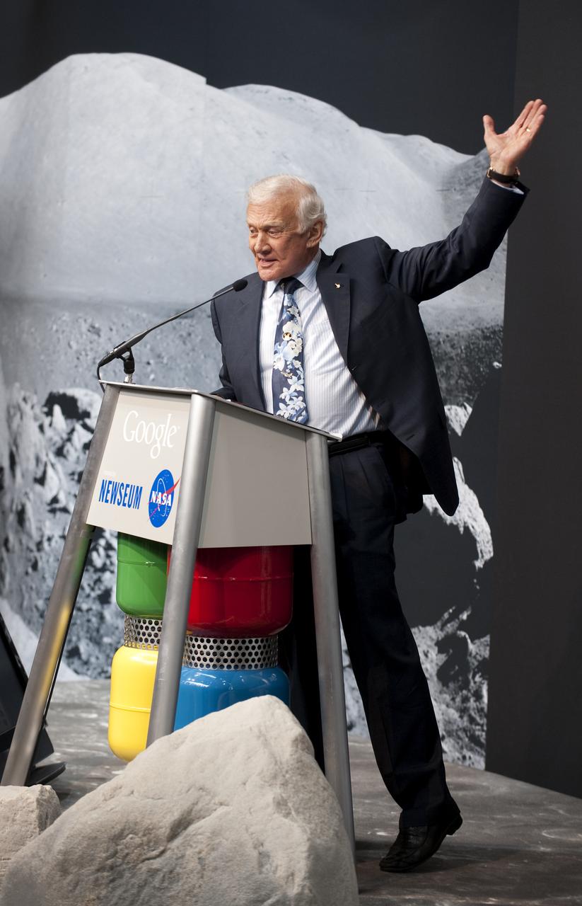
Buzz Aldrin, the second man to walk on the moon, speaks during a press conference, Monday, July 20, 2009, announcing the launch of Moon in Google Earth, an immersive 3D atlas of the Moon, accessible within Google Earth 5.0, Monday, July 20, 2009, at the Newseum in Washington. Photo Credit: (NASA/Bill Ingalls)
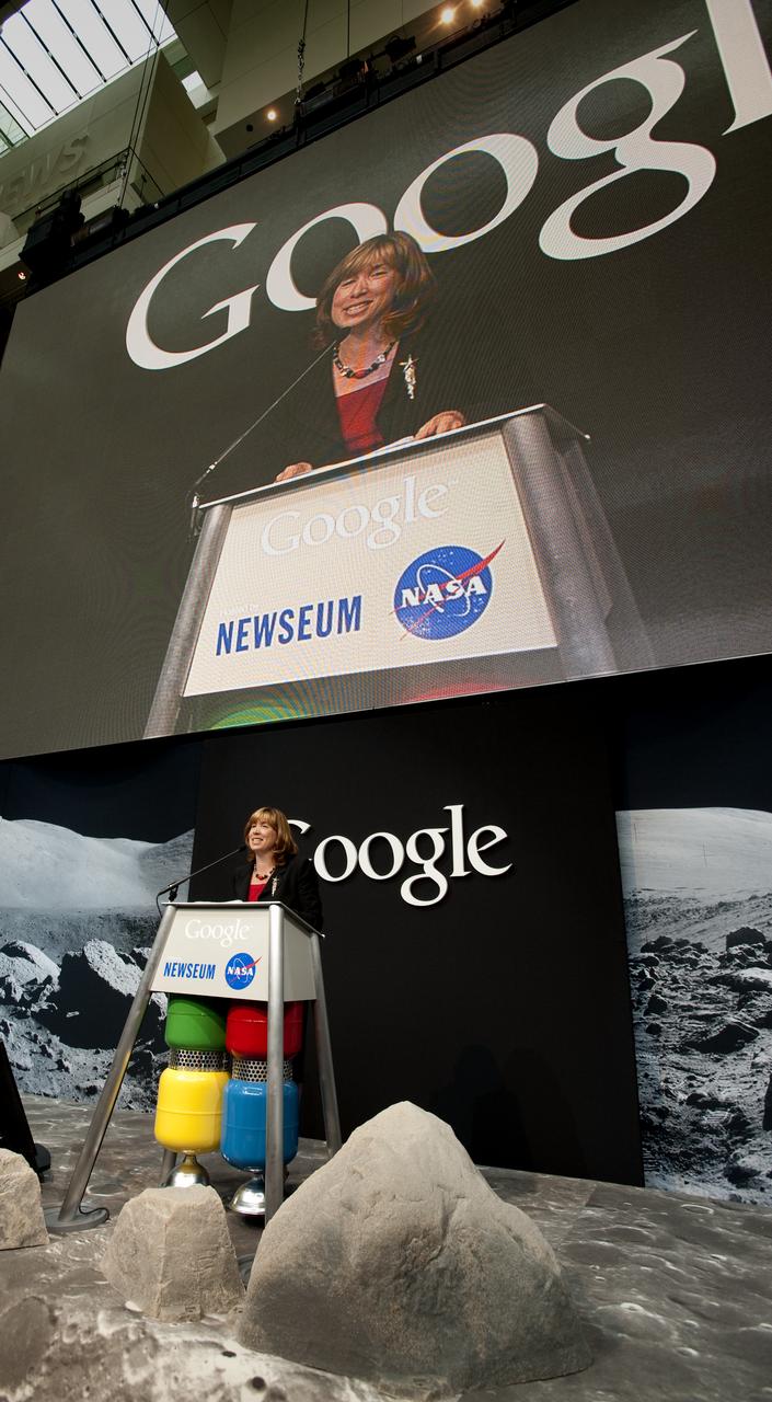
NASA Deputy Administrator Lori Garver, speaks during a press conference, Monday, July 20, 2009, announcing the launch of Moon in Google Earth, an immersive 3D atlas of the Moon, accessible within Google Earth 5.0, Monday, July 20, 2009, at the Newseum in Washington. Photo Credit: (NASA/Bill Ingalls)
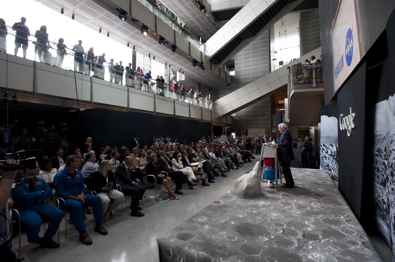
Apollo 11 astronaut Buzz Aldrin, the second man to walk on the Moon, speaks during a press conference, Monday, July 20, 2009, announcing the launch of Moon in Google Earth, an immersive 3D atlas of the Moon, accessible within Google Earth 5.0, Monday, July 20, 2009, at the Newseum in Washington. Photo Credit: (NASA/Bill Ingalls)
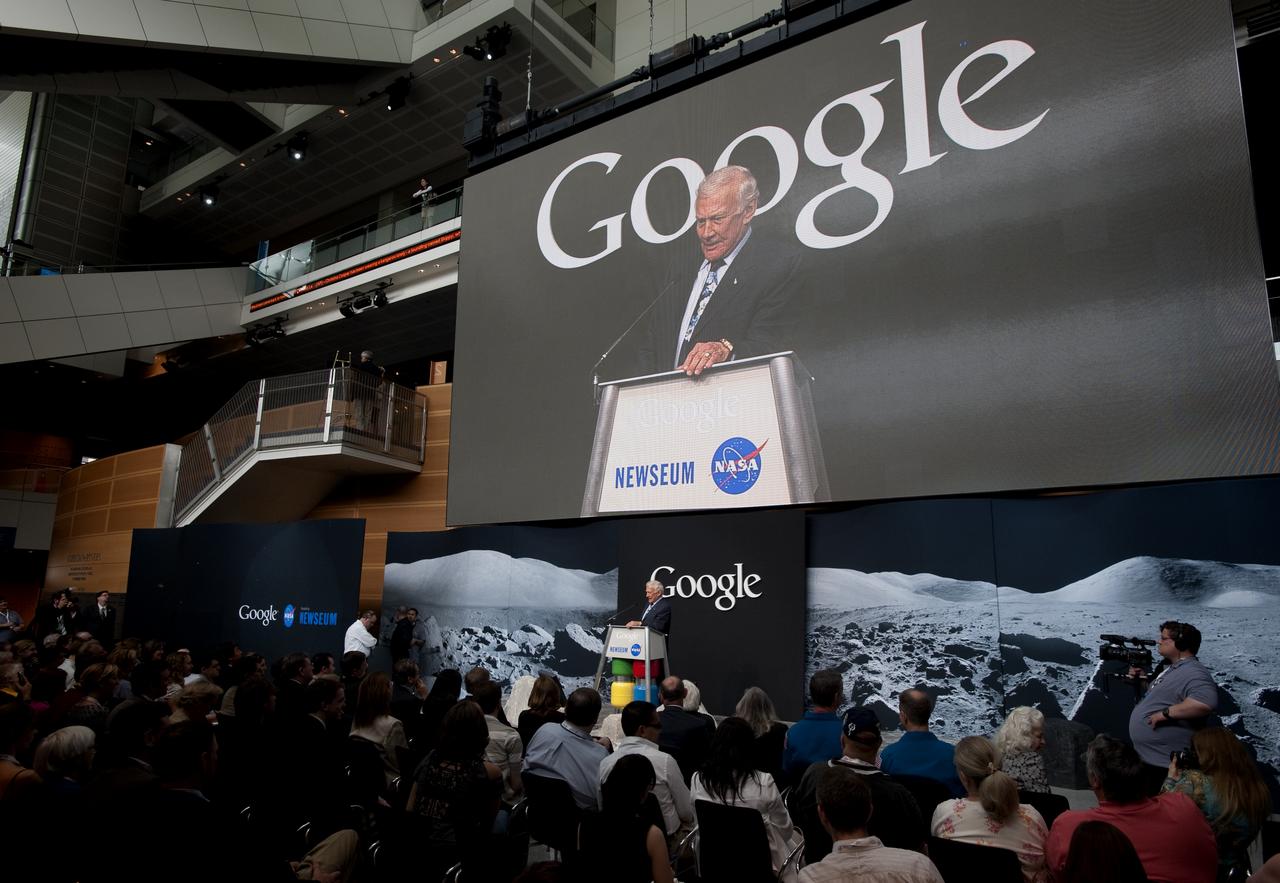
Apollo 11 astronaut Buzz Aldrin, the second man to walk on the Moon, speaks during a press conference, Monday, July 20, 2009, announcing the launch of Moon in Google Earth, an immersive 3D atlas of the Moon, accessible within Google Earth 5.0, Monday, July 20, 2009, at the Newseum in Washington. Photo Credit: (NASA/Bill Ingalls)
Yoshinori Yoshimura, a respresentative from the Japan Aerospace Exploration Agency (JAXA), speaks during a press conference, Monday, July 20, 2009, announcing the launch of Moon in Google Earth, an immersive 3D atlas of the Moon, accessible within Google Earth 5.0, Monday, July 20, 2009, at the Newseum in Washington. Photo Credit: (NASA/Bill Ingalls)
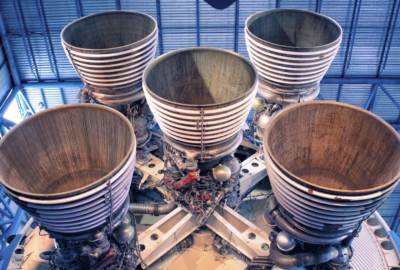
CAPE CANAVERAL, Fla. – As seen on Google Maps, the massive F-1 engines of the Saturn V's first stage on display inside the Apollo/Saturn V Center at the Kennedy Space Center Visitor Complex. Each engine stands 19 feet tall with a diameter of more than 12 feet. The five engines on the first stage produced 7.5 million pounds of thrust at liftoff. The Saturn V was used to launch NASA's Apollo missions to the moon which saw 12 astronauts land and work on the lunar surface. Google precisely mapped Kennedy Space Center and some of its historical facilities for the company's map page. Photo credit: Google/Wendy Wang
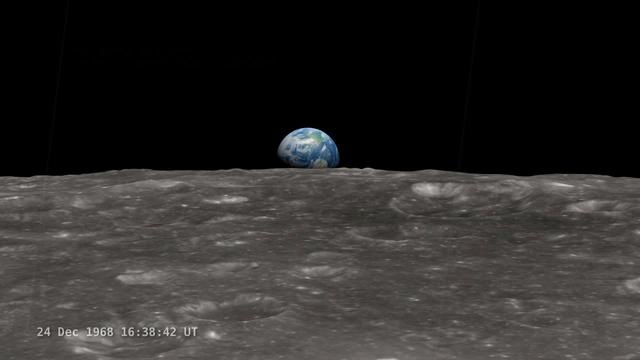
<b>Join NASA's Google+ Hangout on Friday, December 20th 2:00 - 3:00 PM (EST) at <a href="http://go.nasa.gov/18S2TbC" rel="nofollow">go.nasa.gov/18S2TbC</a> </b> It was 45 years ago, on December 24, 1968 when Apollo 8 astronauts captured 'Earthrise' – the first color photograph of Earth taken by a person in lunar orbit. NASA announces a new simulation of the events leading to the creation of 'Earthrise,' one of the iconic photographs of the 20th Century – Earth seen from the moon captured by the crew of Apollo 8. This new simulation allows anyone to virtually ride with the astronauts and experience the awe they felt at the vista in front of them. Apollo 8 Commander Frank Borman and crew members William A. Anders and James A. Lovell photographed the stunning scene as their spacecraft orbited the moon on December 24, 1968. The new computer simulation was created using data from NASA's Lunar Reconnaissance Orbiter, or LRO, spacecraft and includes details not seen in the previous visualization released last year. Participants in this Hangout include: * John Keller, project scientist for the Lunar Reconnaissance Orbiter project * Ernie Wright, project lead with the Scientific Visualization Studio at NASA Goddard Space Flight Center * Andrew Chaikin, space historian, author of the book A Man on the Moon "This will also be the first time we've released a video that's synchronized with the onboard audio recording of the astronauts,", says Ernie Wright. "The new visualization tells us not only what time the photos were taken, but also exactly which way the spacecraft was pointing and therefore which window each photo was taken from." Earthrise is the cover photo of TIME's Great Images of the 20th Century and is among photos on the cover of LIFE's 100 Photographs That Changed the World. <b><a href="http://www.nasa.gov/audience/formedia/features/MP_Photo_Guidelines.html" rel="nofollow">NASA image use policy.</a></b> <b><a href="http://www.nasa.gov/centers/goddard/home/index.html" rel="nofollow">NASA Goddard Space Flight Center</a></b> enables NASA’s mission through four scientific endeavors: Earth Science, Heliophysics, Solar System Exploration, and Astrophysics. Goddard plays a leading role in NASA’s accomplishments by contributing compelling scientific knowledge to advance the Agency’s mission. <b>Follow us on <a href="http://twitter.com/NASA_GoddardPix" rel="nofollow">Twitter</a></b> <b>Like us on <a href="http://www.facebook.com/pages/Greenbelt-MD/NASA-Goddard/395013845897?ref=tsd" rel="nofollow">Facebook</a></b> <b>Find us on <a href="http://instagram.com/nasagoddard?vm=grid" rel="nofollow">Instagram</a></b>