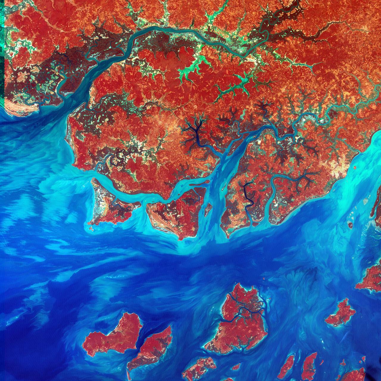
This Landsat 7 image of Guinea-Bissau, a small country in West Africa, shows the complex patterns of the country's shallow coastal waters, where silt carried by the Geba and other rivers washes out into the Atlantic Ocean. This is a false-color composite image made using infrared, red and blue wavelengths to bring out details in the silt was taken using Landsat 7's Enhanced Thematic Mapper plus (ETM+) sensor on Jan. 12, 2000. Image Credit: NASA/USGS EROS Data Center To learn more about the Landsat satellite go to: <a href="http://landsat.gsfc.nasa.gov/" rel="nofollow">landsat.gsfc.nasa.gov/</a>
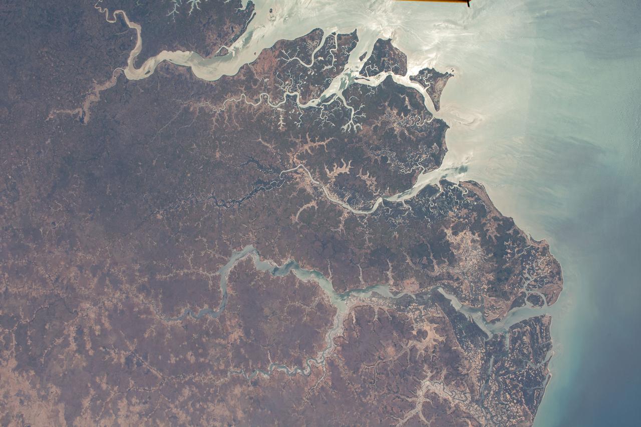
iss062e137037 (April 6, 2020) --- The Rio Geba, pictured from the International Space Station, in the west African nation of Guinea-Bissau leads to the Atlantic Ocean.

iss057e111392 (Dec. 4, 2018) --- The coastal plains and swamps of the Atlantic coast nation of Guinea-Bissau are pictured as the International Space Station orbited 252 miles above the African continent.