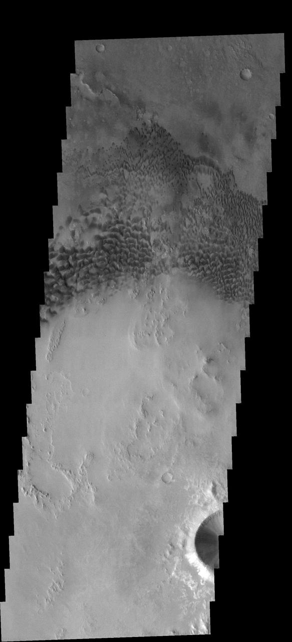
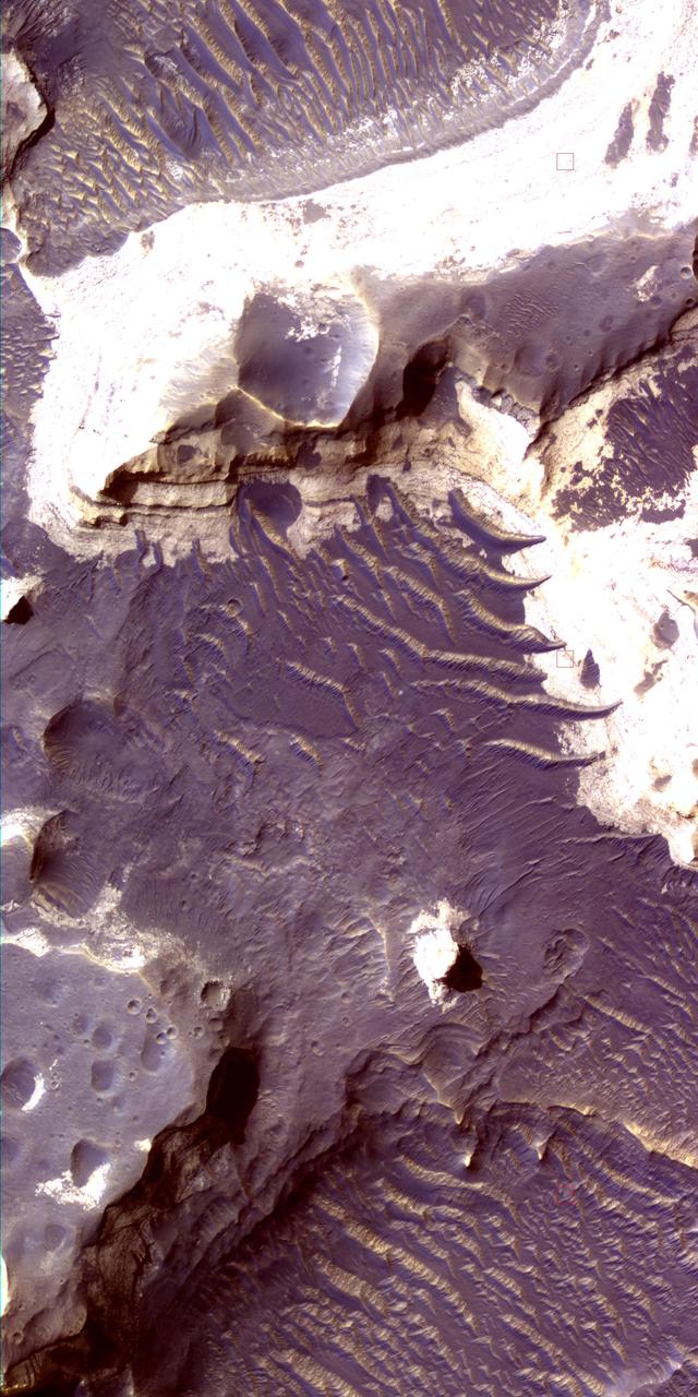
Holden Crater Dune Field
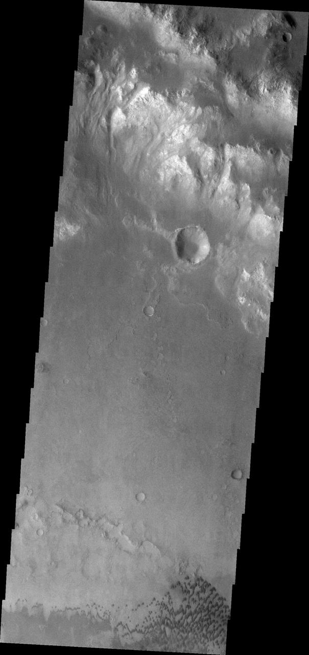
Holden Crater Layers
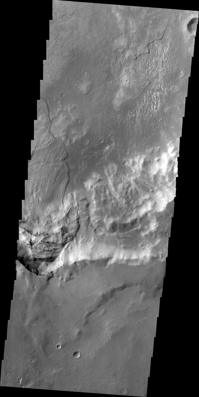
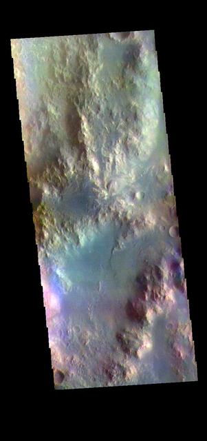
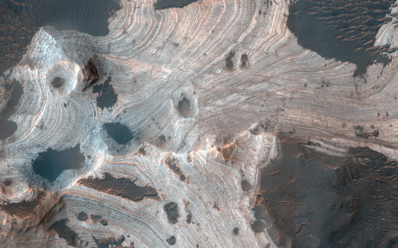
![Holden Crater was once filled by at least two different lakes. The sediments deposited in those lakes are relatively light-toned where exposed, as seen in this observation from NASA's Mars Reconnaissance Orbiter. Each layer represents a different point in time and perhaps a changing environment for Martian life, if it existed. The elongated ridges with sharp crests are sand dunes. The map is projected here at a scale of 25 centimeters (9.8 inches) per pixel. [The original image scale is 25.9 centimeters (10.2 inches) per pixel (with 1 x 1 binning); objects on the order of 78 centimeters (30.7 inches) across are resolved.] North is up. https://photojournal.jpl.nasa.gov/catalog/PIA21587](https://images-assets.nasa.gov/image/PIA21587/PIA21587~medium.jpg)
Holden Crater was once filled by at least two different lakes. The sediments deposited in those lakes are relatively light-toned where exposed, as seen in this observation from NASA's Mars Reconnaissance Orbiter. Each layer represents a different point in time and perhaps a changing environment for Martian life, if it existed. The elongated ridges with sharp crests are sand dunes. The map is projected here at a scale of 25 centimeters (9.8 inches) per pixel. [The original image scale is 25.9 centimeters (10.2 inches) per pixel (with 1 x 1 binning); objects on the order of 78 centimeters (30.7 inches) across are resolved.] North is up. https://photojournal.jpl.nasa.gov/catalog/PIA21587
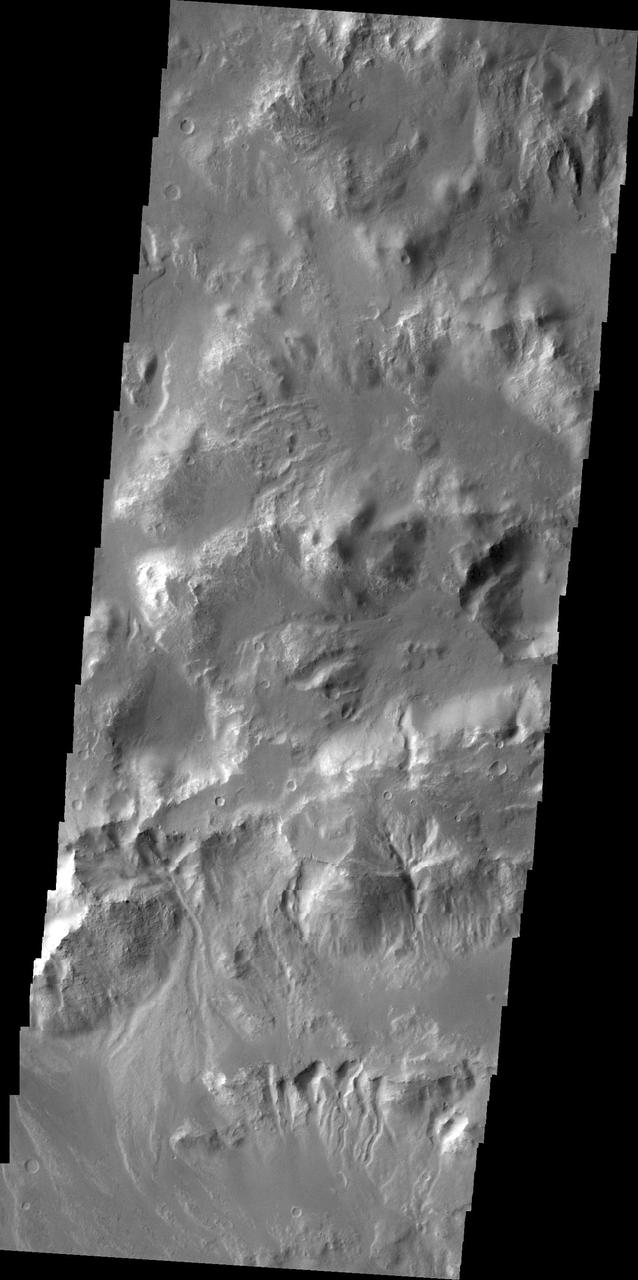
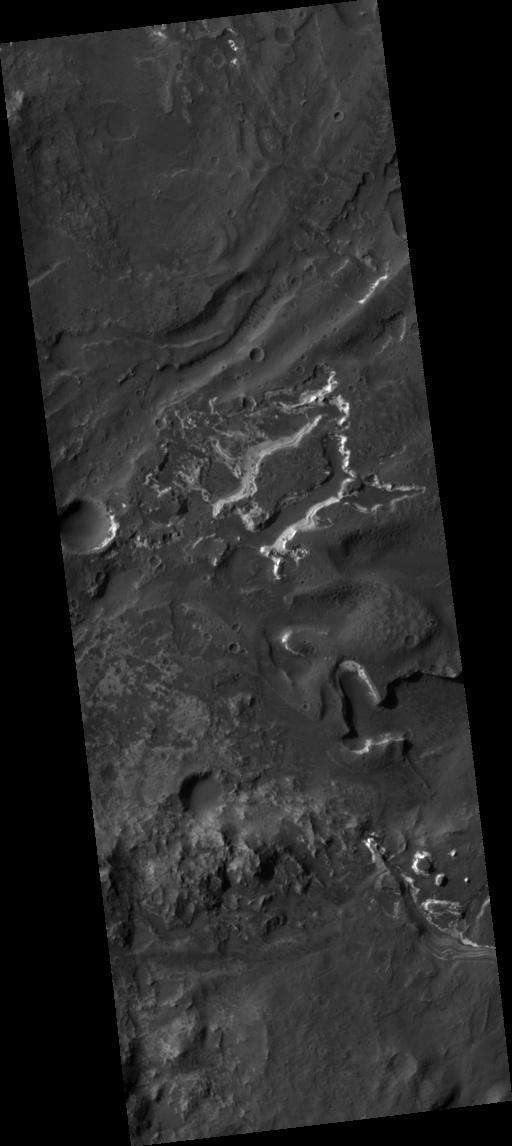
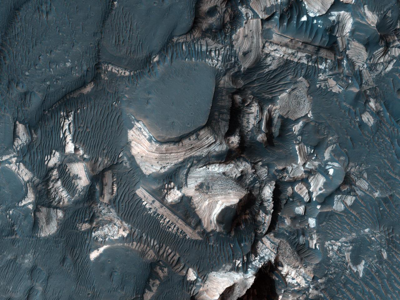
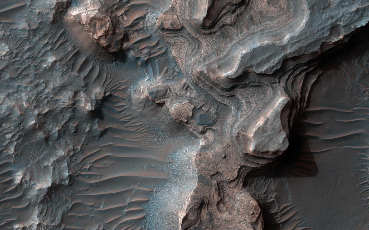
![Holden Crater in southern Margaritifer Terra displays a series of finely layered deposits on its floor. The layered deposits are especially well exposed in the southwestern section of the crater where erosion by water flowing through a breach in the crater rim created spectacular outcrops. In this location, the deposits appear beneath a cap of alluvial fan materials (tan to brown in this image). Within the deposits, individual layers are nearly flat-lying and can be traced for hundreds of meters to kilometers. Information from the CRISM instrument on the Mars Reconnaissance Orbiter suggests that at least some of these beds contain clays. By contrast, the beds in the overlying alluvial fan are less continuous and dip in varying directions, showing less evidence for clays. Collectively, the characteristics of the finely bedded deposits suggest they may have been deposited into a lake on the crater floor, perhaps fed by runoff related to formation of the overlying fans. The map is projected here at a scale of 25 centimeters (9.8 inches) per pixel. [The original image scale is 25.9 centimeters (10.2 inches) per pixel (with 1 x 1 binning); objects on the order of 78 centimeters (30.7 inches) across are resolved.] North is up. http://photojournal.jpl.nasa.gov/catalog/PIA21561](https://images-assets.nasa.gov/image/PIA21561/PIA21561~medium.jpg)
Holden Crater in southern Margaritifer Terra displays a series of finely layered deposits on its floor. The layered deposits are especially well exposed in the southwestern section of the crater where erosion by water flowing through a breach in the crater rim created spectacular outcrops. In this location, the deposits appear beneath a cap of alluvial fan materials (tan to brown in this image). Within the deposits, individual layers are nearly flat-lying and can be traced for hundreds of meters to kilometers. Information from the CRISM instrument on the Mars Reconnaissance Orbiter suggests that at least some of these beds contain clays. By contrast, the beds in the overlying alluvial fan are less continuous and dip in varying directions, showing less evidence for clays. Collectively, the characteristics of the finely bedded deposits suggest they may have been deposited into a lake on the crater floor, perhaps fed by runoff related to formation of the overlying fans. The map is projected here at a scale of 25 centimeters (9.8 inches) per pixel. [The original image scale is 25.9 centimeters (10.2 inches) per pixel (with 1 x 1 binning); objects on the order of 78 centimeters (30.7 inches) across are resolved.] North is up. http://photojournal.jpl.nasa.gov/catalog/PIA21561
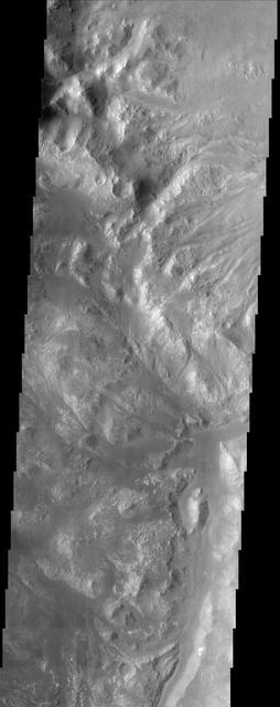
Distributory Fan Near Holden Crater
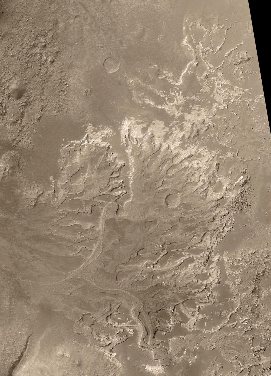
This fan-shaped delta deposit is located in Holden Crater
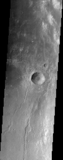
This image of Holden Crater shows some of the small dark dunes located on the floor of the crater.
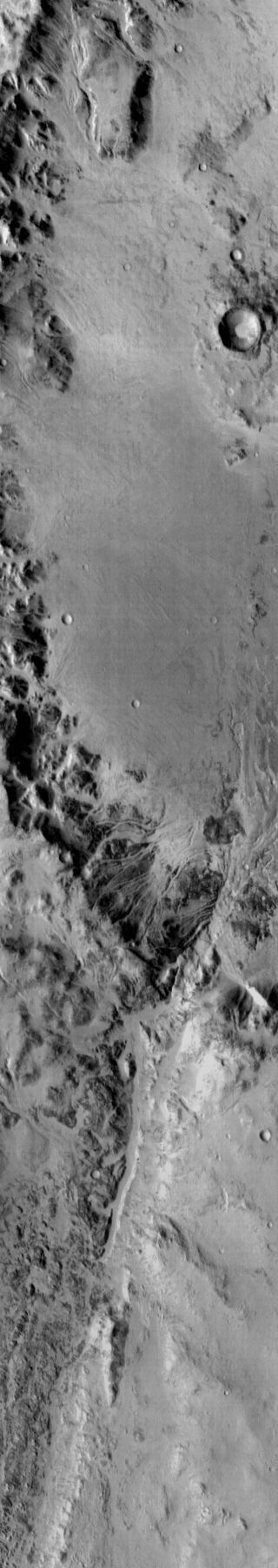
Ripple bedforms fill large fractures near the southern rim of Holden Crater in this image from NASA Mars Odyssey spacecraft.
This image, taken by NASA 2001 Mars Odyssey spacecraft, shows a large landslide deposit in an unnamed crater southwest of Holden Crater.
Proposed MSL site in Holden Crater Fan
These dunes occur on the floor of Holden Crater as seen by NASA 2001 Mars Odyssey spacecraft.
The small dark dunes in this image captured by NASA 2001 Mars Odyssey spacecraft are located on the floor of Holden Crater.
Taken by NASA 2001 Mars Odyssey spacecraft, this image shows a fan shaped deposit located on the floor of Holden Crater.
This image from NASA 2001 Mars Odyssey shows channels dissecting the northwestern rim of Holden Crater.
Gullies are visible in this image of the northern rim of Holden Crater as seen by NASA 2001 Mars Odyssey spacecraft.
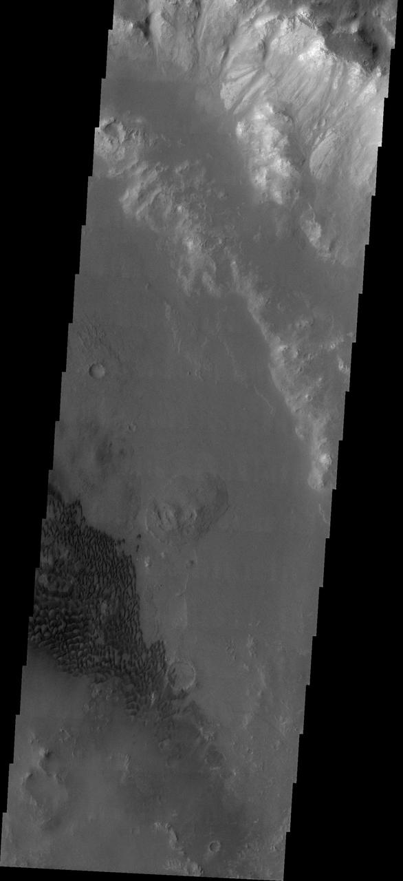
This 2001 Mars Odyssey THEMIS daytime infrared image shows the dissection of the rim of Holden Crater by numerous channels. Darker materials in the image are cooler than the surrounding material.
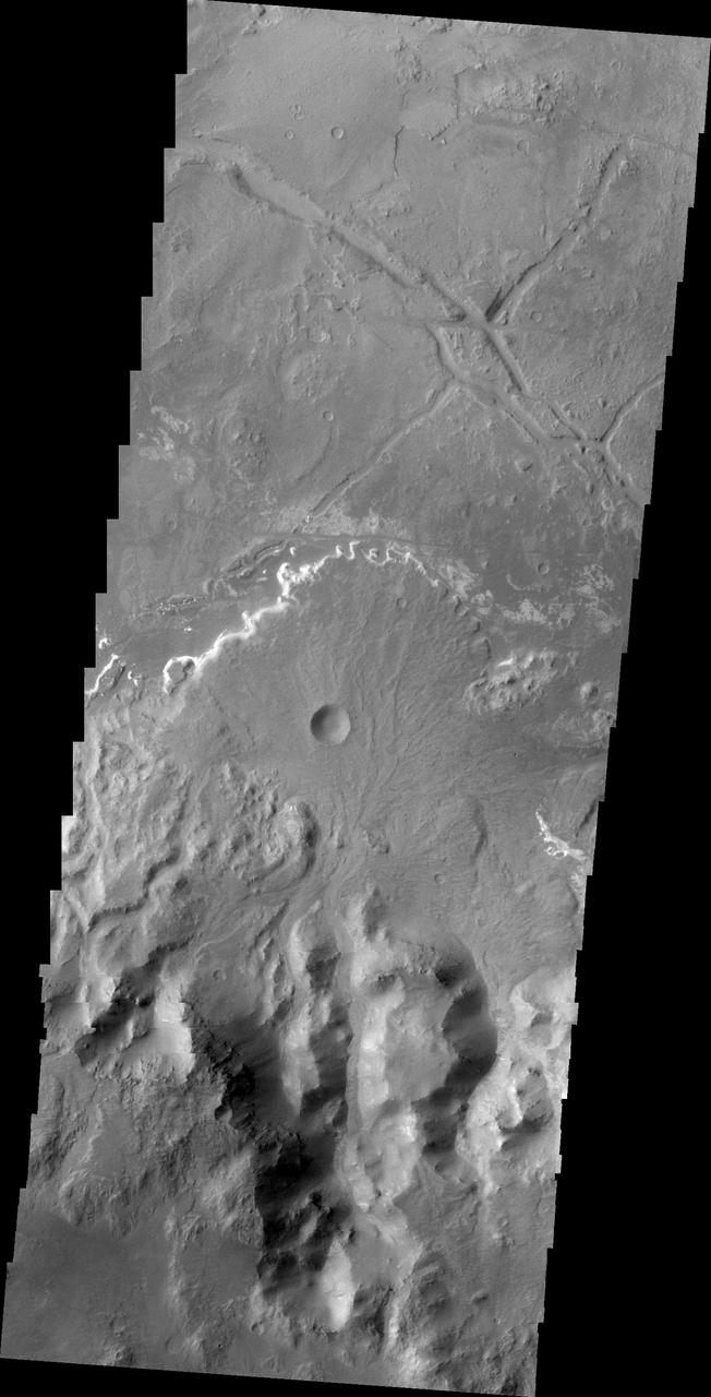
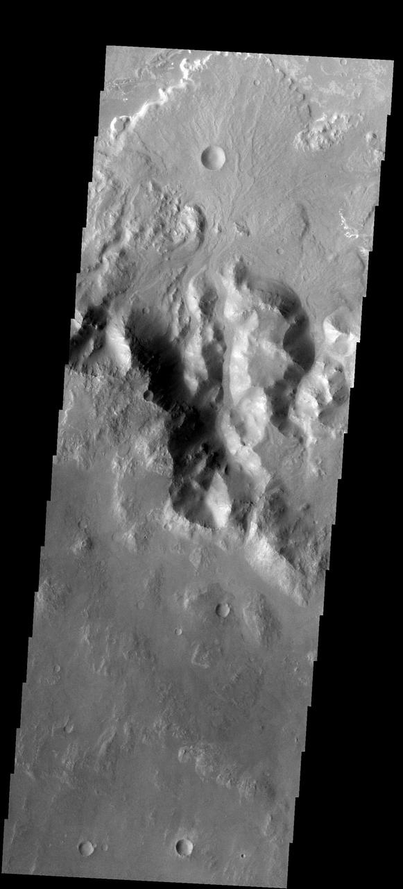
This image from NASA 2001 Mars Odyssey shows a delta deposit on the floor of Holden Crater. This delta was formed by small channels dissecting the rim of the crater, rather than the influx of material from Uzboi Vallis.
Only a portion of a large landslide deposit is shown in this image taken by NASA 2001 Mars Odyssey spacecraft. The landslide occurred on the rim of an unnamed crater southwest of Holden Crater.
The THEMIS VIS camera contains 5 filters. The data from different filters can be combined in multiple ways to create a false color image. These false color images may reveal subtle variations of the surface not easily identified in a single band image. Today's false color image shows part of the rim of Holden Crater. Located in Noachis Terra, Holden Crater is 152km (94 miles) in diameter. Orbit Number: 72777 Latitude: -26.7099 Longitude: 327.236 Instrument: VIS Captured: 2018-05-11 15:45 https://photojournal.jpl.nasa.gov/catalog/PIA24518
Holden Crater Megabreccia: A Telltale Sign of a Sudden and Violent Event
Color Image of Layers in Holden Crater, a Candidate MSL Landing Site
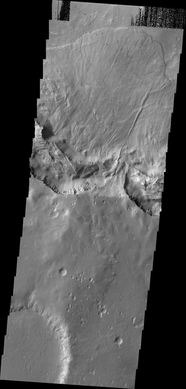
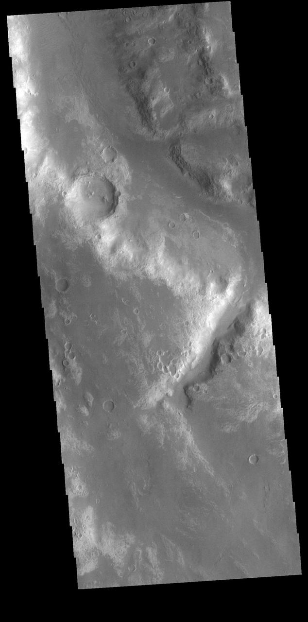
The eastern floor of Holden Crater, which is located in region of the southern hemisphere called Noachis Terra and is 154 km in diameter, is seen in this image from NASA Mars Odyssey spacecraft.
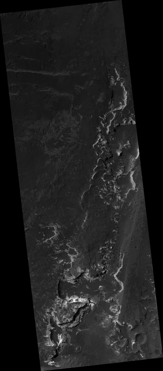
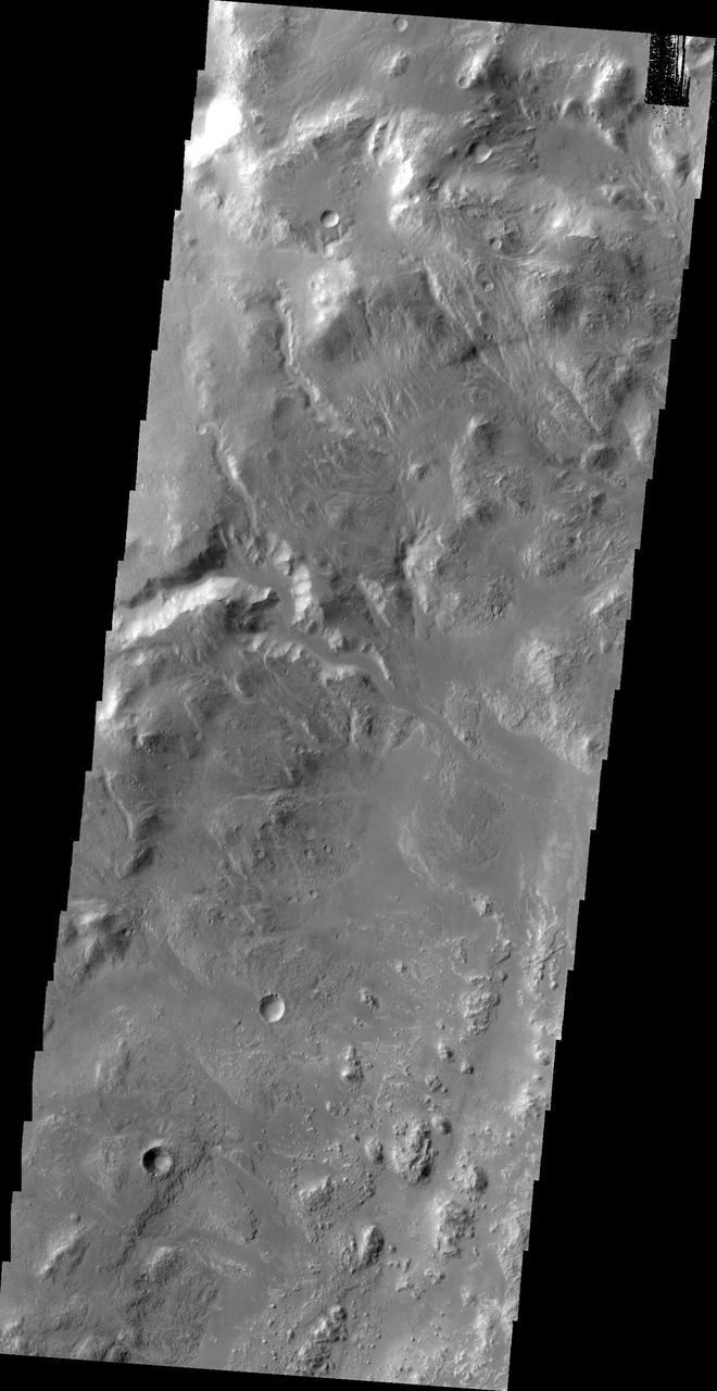
This NASA Mars Odyssey image shows the intersection of Holden Crater with Uzboi Valles. This region of Mars contains a number of features that could be related to liquid water on the surface in the Martian past.
This image from NASA Mars Reconnaissance Orbiter shows blocks of bright, layered rock embedded in darker material that are thought to have been deposited by a giant flood that occurred when Uzboi Valles breached the rim of Holden Crater.
This large landslide deposit is located in an unnamed crater southwest of Holden Crater. This image was captured by NASA 2001 Mars Odyssey spacecraft.
Much of Mars is covered by sand and dust but in some places stacks of sedimentary layers are visible. In this image, exquisite layering is revealed emerging from the sand in southern Holden Crater. Sequences like these offer a window into Mars' complicated geologic history. Holden Crater was once a candidate landing area for the Mars Science Laboratory, and is still an intriguing choice today. https://photojournal.jpl.nasa.gov/catalog/PIA23952
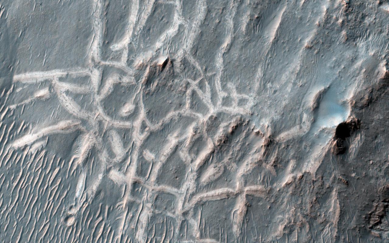
This image from NASA Mars Reconnaissance Orbiter captures light-toned ridges found in a large fracture located east of Holden Crater forming a curious box-like pattern.
This image, taken by NASA 2001 Mars Odyssey spacecraft, shows the western wall of Uzboi Vallis near the intersection of the vallis and Holden Crater. Many channels dissect the wall of the channel.
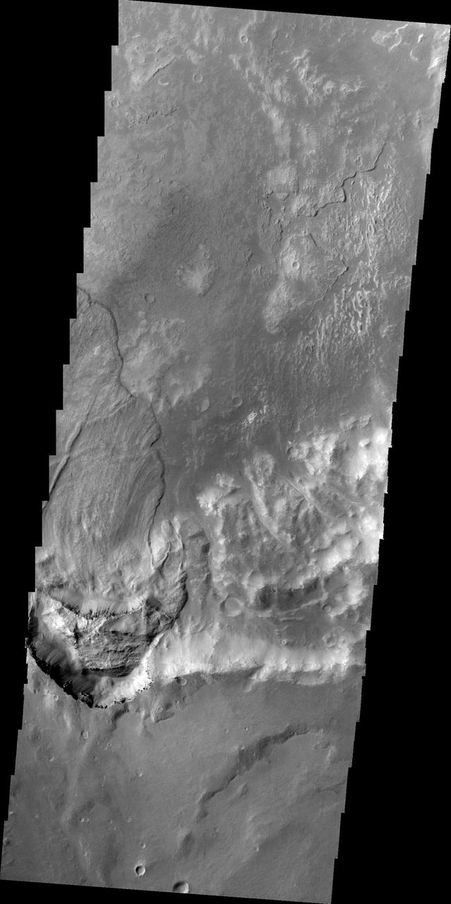
Bigbee is a 21 kilometer-diameter impact crater located on the northern rim of Holden crater in southern Margaritifer Terra, a region on Mars that is well known for its long record of water-rich activity as seen by NASA Mars Reconnaissance Orbiter. he rim of Bigbee has been heavily modified from its original form, presumably by water and wind. Material eroded and removed from Bigbee's rim was transported and deposited to the crater interior. Some of the darker-toned material near Bigbee's northern rim has been incorporated into fan-shaped deposits with distinct margins at the outer part. The fan surfaces appear to lack obvious layering and channels. The modification of Bigbee and other smaller craters on Holden's rim may have been contemporaneous with a proposed period of relatively late, water-driven activity that formed fans in Holden and other craters in Margaritifer Terra (see Grant and Wilson, 2012). Note: The cutout is 3.5-kilometer across and shows dark fan-like deposits on left side of image at the base of a light-toned scarp. http://photojournal.jpl.nasa.gov/catalog/PIA19296
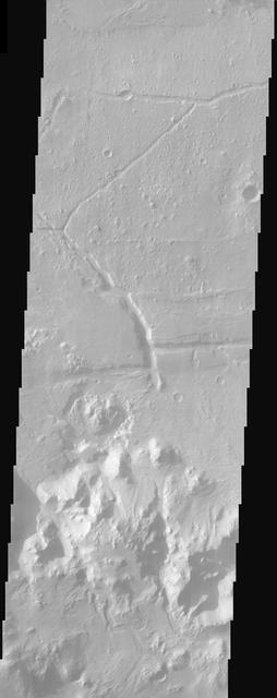
Today's VIS image shows a small section of Uzboi Vallis. This valley system arises just north of Argyre Planitia and flows northward into Holden Crater. Orbit Number: 81698 Latitude: -31.0656 Longitude: 322.924 Instrument: VIS Captured: 2020-05-15 07:45 https://photojournal.jpl.nasa.gov/catalog/PIA24002

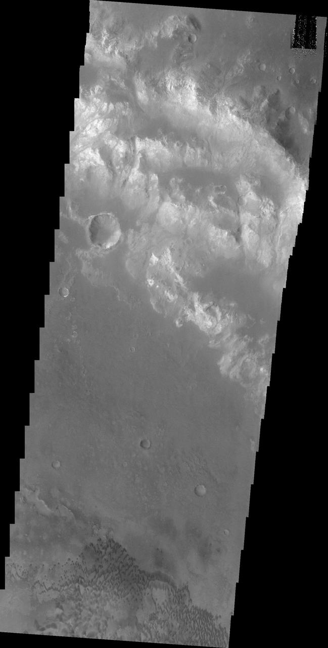
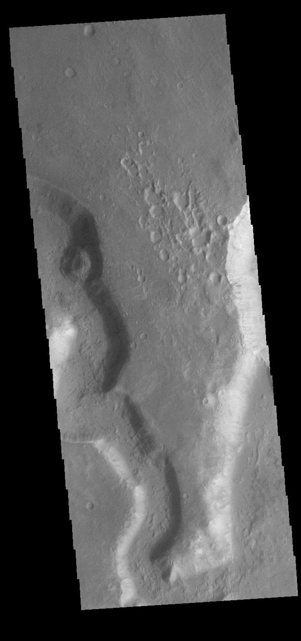
Today's VIS image shows a small channel located west of Holden Crater in Noachis Terra. The channel appears to arise from and flow to – well, nowhere. Small channel systems like this occur all over the surface of Mars. It was likely formed during the 'wet' period of Mars' history, when surface flows carved the large channels on Mars, but also lots of little channel just like this one. Orbit Number: 90745 Latitude: -25.9086 Longitude: 324.246 Instrument: VIS Captured: 2022-05-30 05:51 https://photojournal.jpl.nasa.gov/catalog/PIA25480
Today's VIS image shows a small section of Uzboi Vallis. This valley system arises just north of Argyre Planitia and flows northward into Holden Crater. Uzboi Vallis is 366km long (227 miles). Orbit Number: 91369 Latitude: -30.6694 Longitude: 322.767 Instrument: VIS Captured: 2022-07-20 14:57 https://photojournal.jpl.nasa.gov/catalog/PIA25536
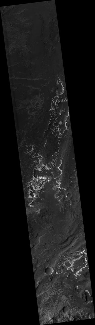
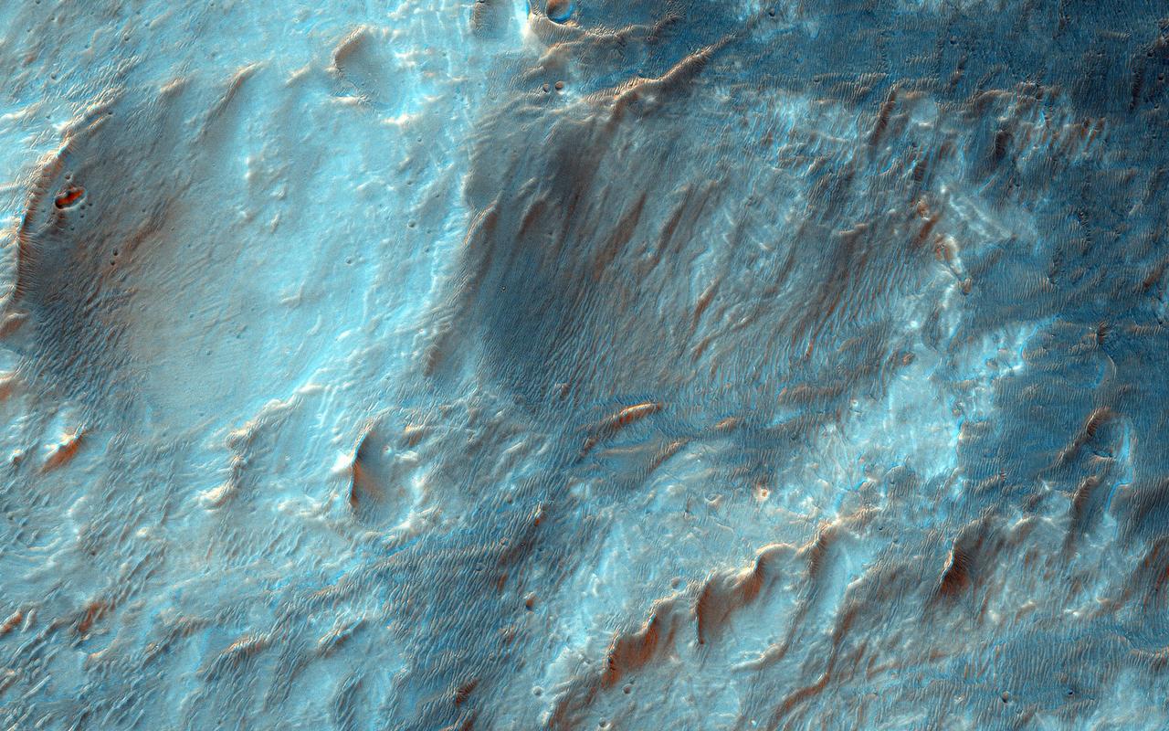
This image from NASA Mars Reconnaissance Orbiter shows layered deposits in Uzboi Vallis which sometimes occur in alcoves along the valley and/or below where tributaries enter into the lake from surrounding clay-bearing surfaces. http://photojournal.jpl.nasa.gov/catalog/PIA21563
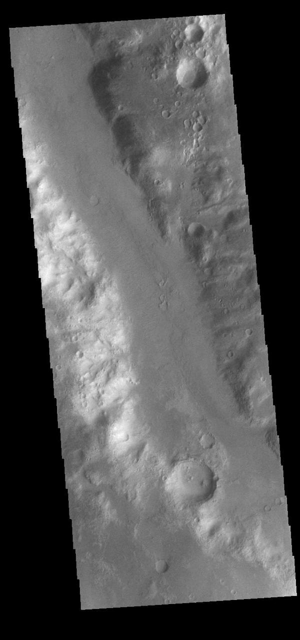
Today's VIS image shows a small section of Nirgal Valles (left side of image) just where it flows into the larger Uzboi Vallis (right side of image). Located in Noachis Terra, Nirgal Valles is 610km long (379 miles), and arises in Noachis Terra. Uzboi Vallis is 353 km long (219 miles) and arises just north of Argyre Planitia and flows northward into Holden Crater. While shorter than Nirgal Valles, Uzboi Vallis is much wider. Orbit Number: 90795 Latitude: -29.5713 Longitude: 322.31 Instrument: VIS Captured: 2022-06-03 08:38 https://photojournal.jpl.nasa.gov/catalog/PIA25507