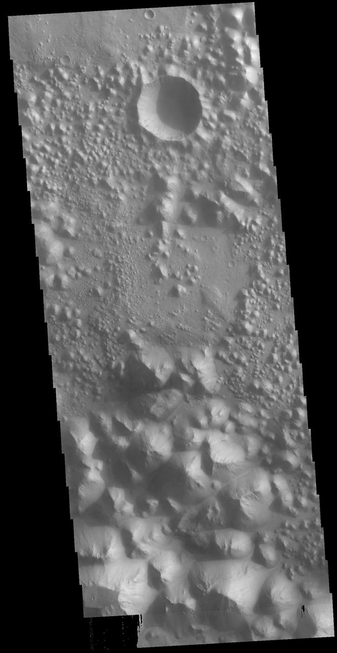
The region of hills and mesas at the top of this VIS image are part of Hydaspis Chaos. Orbit Number: 65406 Latitude: 1.42739 Longitude: 334.12 Instrument: VIS Captured: 2016-09-11 09:15 http://photojournal.jpl.nasa.gov/catalog/PIA21156
This region of small hills and chaos is called Hydaspis Chaos
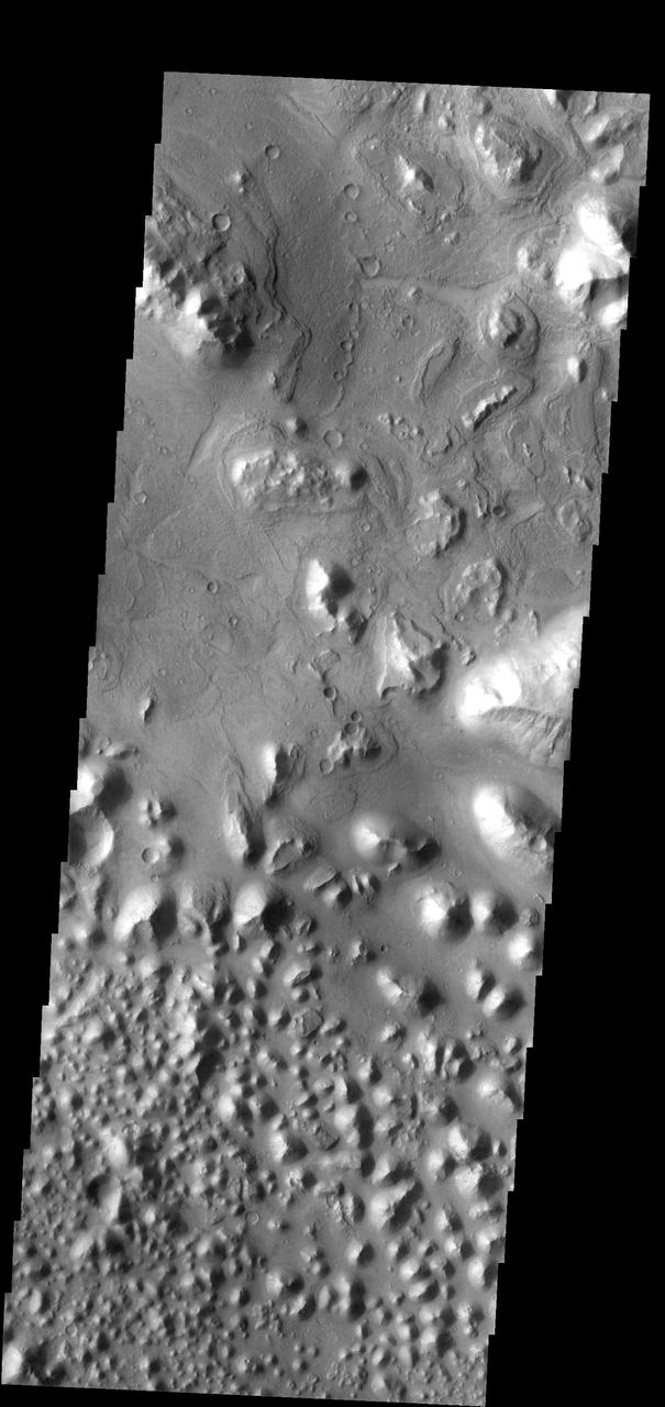
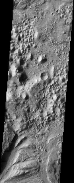
Today's VIS image shows a small section of Hydaspis Chaos, one of many regions of chaos in Margaritifer Terra. The term chaos is applied to regions where the surface is being eroded to form mesas. As the surface processes continue individual mesas become more isolated and take on the appearance of regions of hills. Hydaspis Chaos is is part of the huge outflow system flowing from Valles Marineris to Chryse Planitia. Orbit Number: 79027 Latitude: 2.3043 Longitude: 335.049 Instrument: VIS Captured: 2019-10-08 09:37 https://photojournal.jpl.nasa.gov/catalog/PIA23544
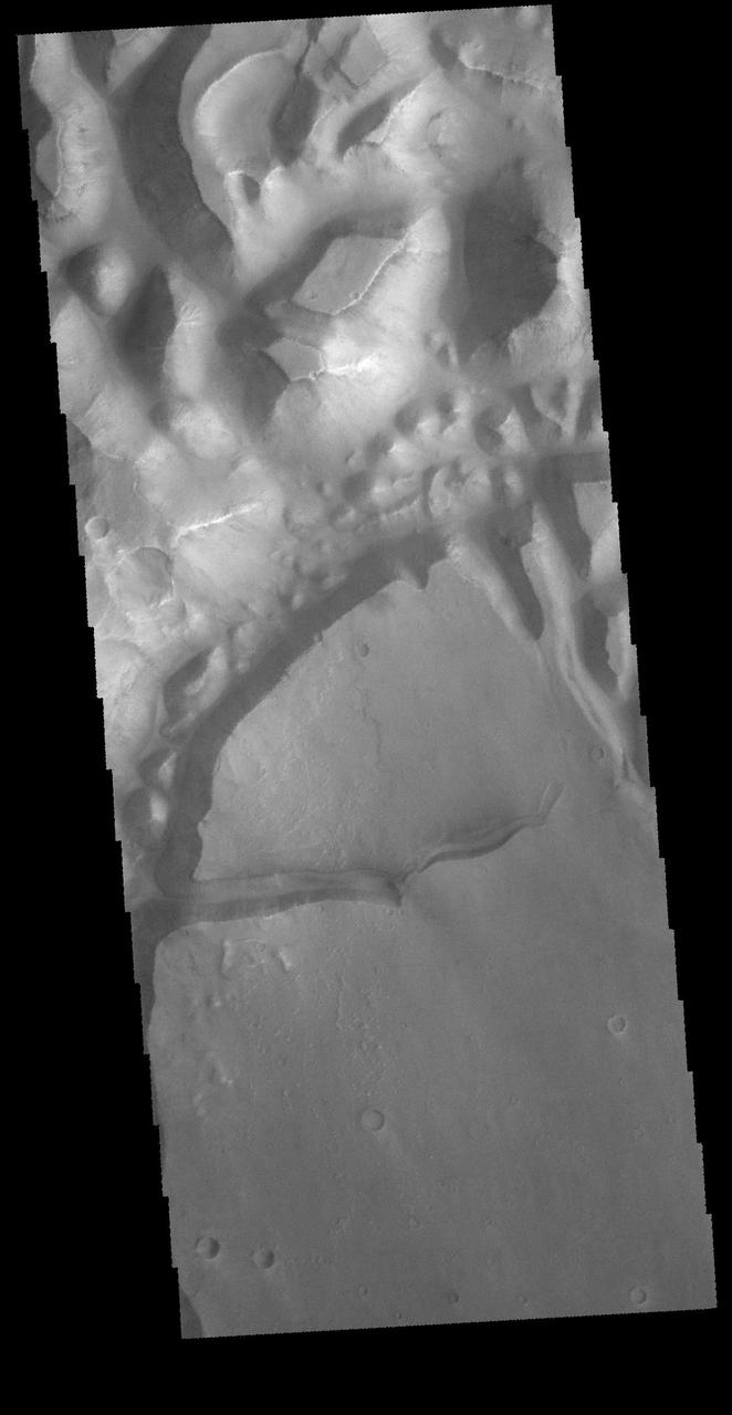
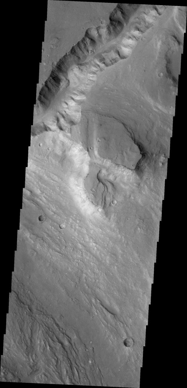
Today's VIS image shows part of Hydaspis Chaos, one of many regions of chaos in Margaritifer Terra. Chaos terrain is typified by mesas and valleys. The initial breakup of the surface can be due to tectonic forces, although on Mars it is thought that the mode of formation involves release of melted subsurface ice. With time and erosion the valleys widen and the mesas grow smaller. Hydaspis Chaos is is part of the huge outflow system flowing from Valles Marineris to Chryse Planitia. The channel in the center of the image becomes part of the larger Tiu Valles channel. Orbit Number: 87600 Latitude: 3.42796 Longitude: 332.822 Instrument: VIS Captured: 2021-09-13 06:56 https://photojournal.jpl.nasa.gov/catalog/PIA25228
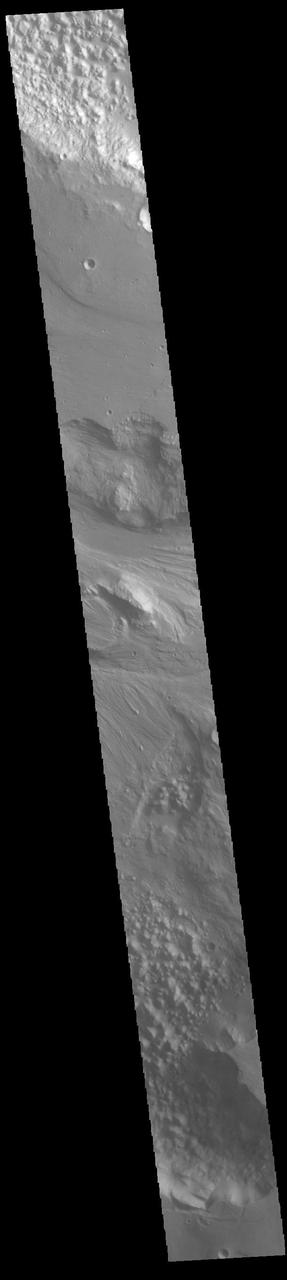
The channel at the top of this image captured by NASA 2001 Mars Odyssey spacecraft runs between Galilaei Crater and the main channel on the northeastern side of Hydaspis Chaos.
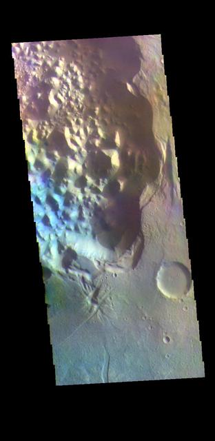
The THEMIS VIS camera contains 5 filters. The data from different filters can be combined in multiple ways to create a false color image. These false color images may reveal subtle variations of the surface not easily identified in a single band image. Today's false color image shows a small section of Hydaspis Chaos, one of many regions of chaos in Margaritifer Terra. The term chaos is applied to regions where the surface is being eroded to form mesas. As the surface processes continue individual mesas become more isolated and take on the appearance of regions of hills. Hydaspis Chaos is is part of the huge outflow system flowing from Valles Marineris to Chryse Planitia. Orbit Number: 70332 Latitude: 1.90016 Longitude: 335.673 Instrument: VIS Captured: 2017-10-22 05:45 https://photojournal.jpl.nasa.gov/catalog/PIA24502
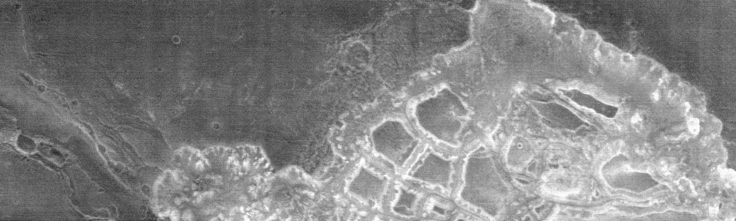
This image of Hydaspis Chaos from NASA Mars Odyssey spacecraft shows the source terrain for several outflow channels on Mars. VIS Instrument. Latitude 3.2, Longitude 333.2 East. 19 meter/pixel resolution. http://photojournal.jpl.nasa.gov/catalog/PIA04000
This nighttime infrared image, taken by NASA Mars Odyssey spacecraft, captures a massively disrupted region on Mars called Hydaspis Chaos, which is located near the equator at two degrees north, 29 degrees west.