One of NASA's two F-15 research aircraft gets refueled in mid-air over Lake Isabella from a USAF KC-135 tanker while NASA's other F-15 flies chase alongside.
A Beech T-34C aircraft used by NASA Dryden Flight Research Center for mission support banks over Lake Isabella in Kern County during a recent flight.
A Beech T-34C aircraft used by NASA Dryden Flight Research Center for mission support banks over Lake Isabella in Kern County during a recent flight
A Beech T-34C aircraft used by NASA Dryden Flight Research Center for mission support banks over Lake Isabella in Kern County during a recent flight.
A Beech T-34C aircraft used by NASA Dryden Flight Research Center for mission support banks over Lake Isabella in Kern County during a recent flight
Northrop Grumman Corporation's modified U.S. Navy F-5E Shaped Sonic Boom Demonstration (SSBD) aircraft flies over Lake Isabella, California on Aug. 4, 2003. NASA Dryden provided range, air and ground data-gathering support for the SSBD project, which is part of DARPA's Quiet Supersonic Platform (QSP) program.
Northrop Grumman Corporation's modified U.S. Navy F-5E Shaped Sonic Boom Demonstration (SSBD) aircraft flies over Lake Isabella, Calif., on Aug. 4, 2003
NASA's highly modified NF-15B research aircraft cruises over Southern California's Tehachapi Mountains near Lake Isabella during a research mission.
iss060e004214 (July 4, 2019) --- Lake Isabella in California, pictured as the International Space Station orbited 256 miles above the Golden State, is a reservoir formed in 1953 when the Kern River was dammed by the U.S. Army Corps of Engineers.
iss060e004214
ISS017-E-010310 (4 July 2008) --- The Piute fire in California is featured in this image photographed by an Expedition 17 crewmember on the International Space Station. The Piute fire, burning south of Lake Isabella in the Sequoia National Forest in the southern Sierra Nevada Mountains, is one of the more than 300 wildfires burning across the state of California. The fire started June 28 just north of Twin Oaks, California, and has burned nearly 14,000 acres so far. Current estimates by fire officials suggest the fire may not be brought under control for another two weeks.
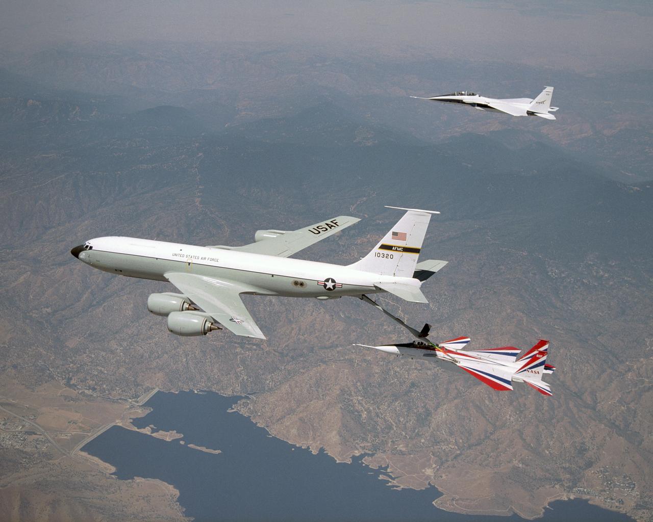
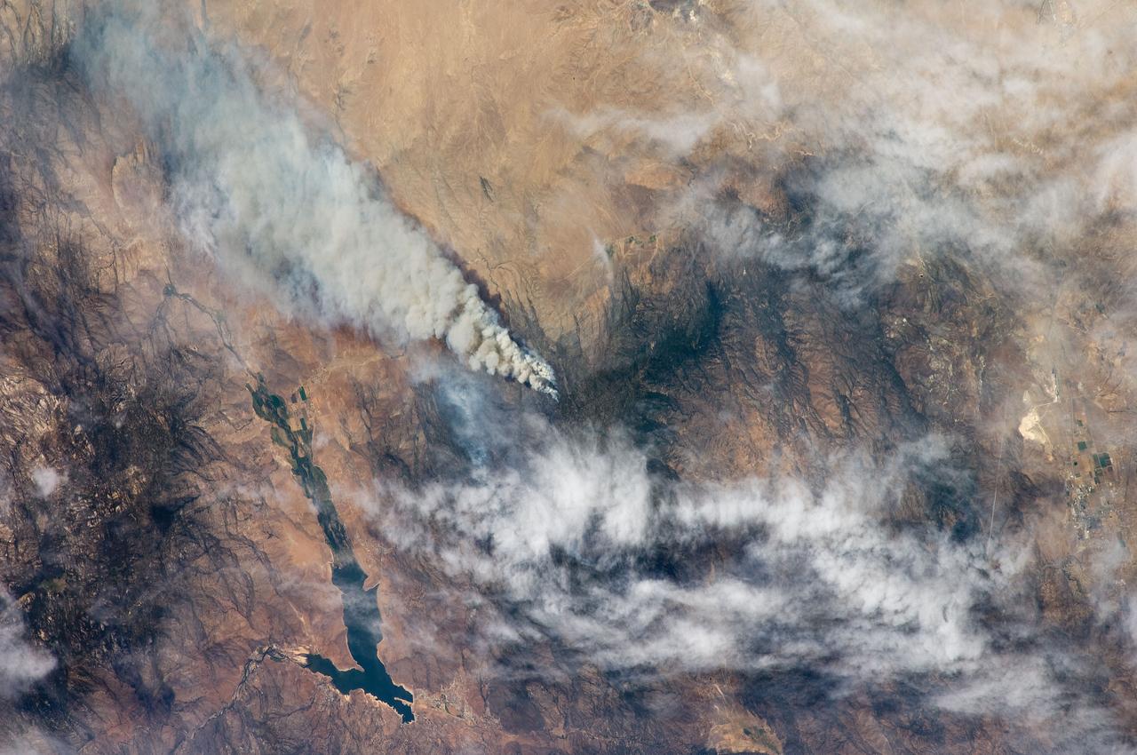
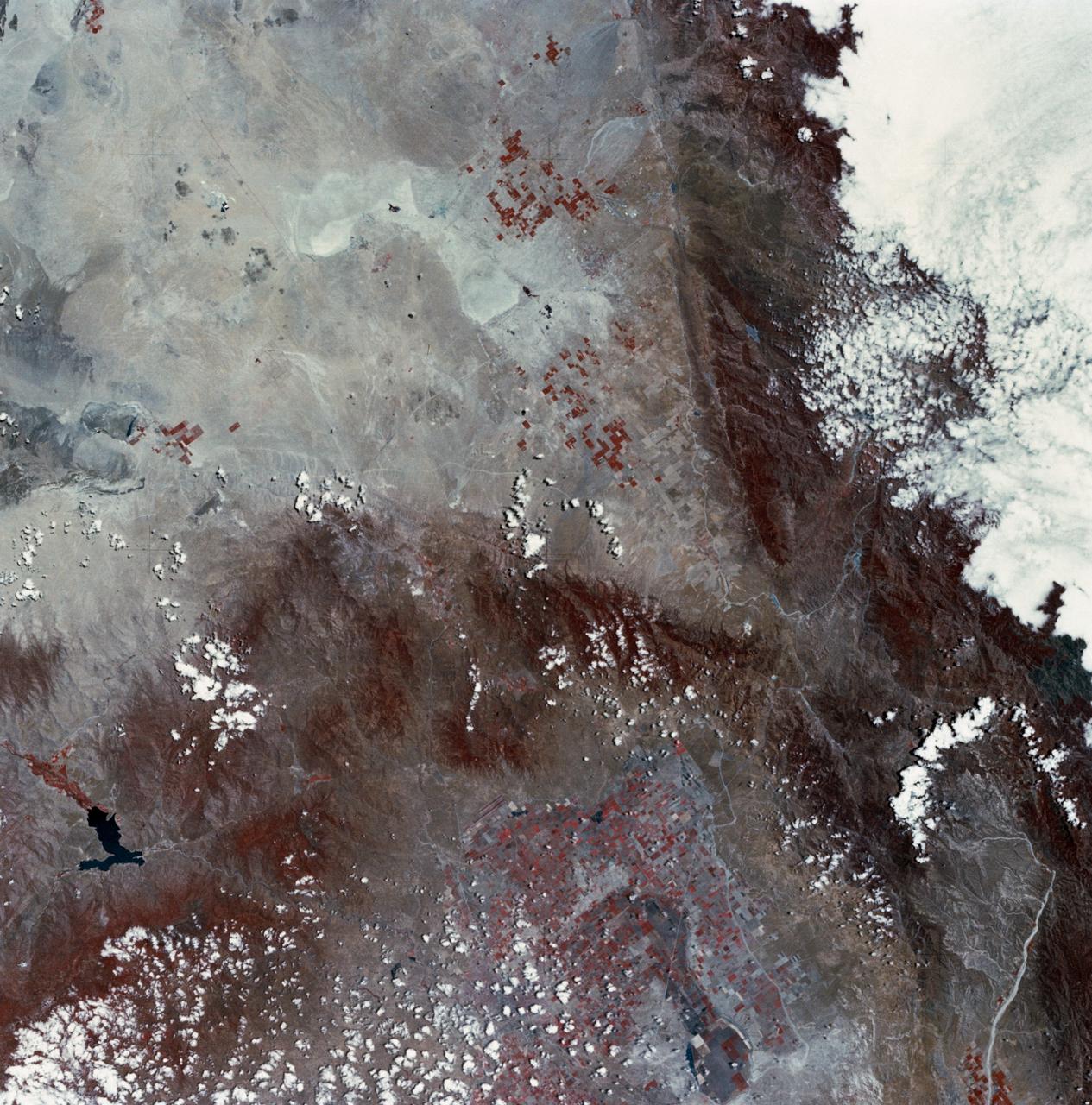
Earth Observations taken by the Expedition 17 Crew
SL2-03-126 (June 1973) --- A color infrared photograph of the Los Angeles County and Kern County area, taken from the Skylab space station in Earth orbit during its first manned Skylab mission. The Mojave Desert occupies the northeast one-fourth of the photograph. Lake Isabella in the Sierra Nevada Mountains is the v-shaped body of water. The San Gabriel Mountains extend across the southern part of the picture. At lower center is the intersection of the San Andreas and Garlock faults. The San Joaquin Valley is in the center at the left edge. (The picture should be held with the heavy cloud cover at lower right corner so that north will be at top.)  This picture was exposed by one of the six lenses of the Itek-furnished S190-A Multispectral Photographic Facility experiment in the Multiple Docking Adapter of the Skylab space station. Type 2443 film was used. Photo credit: NASA
Mojave Desert, California