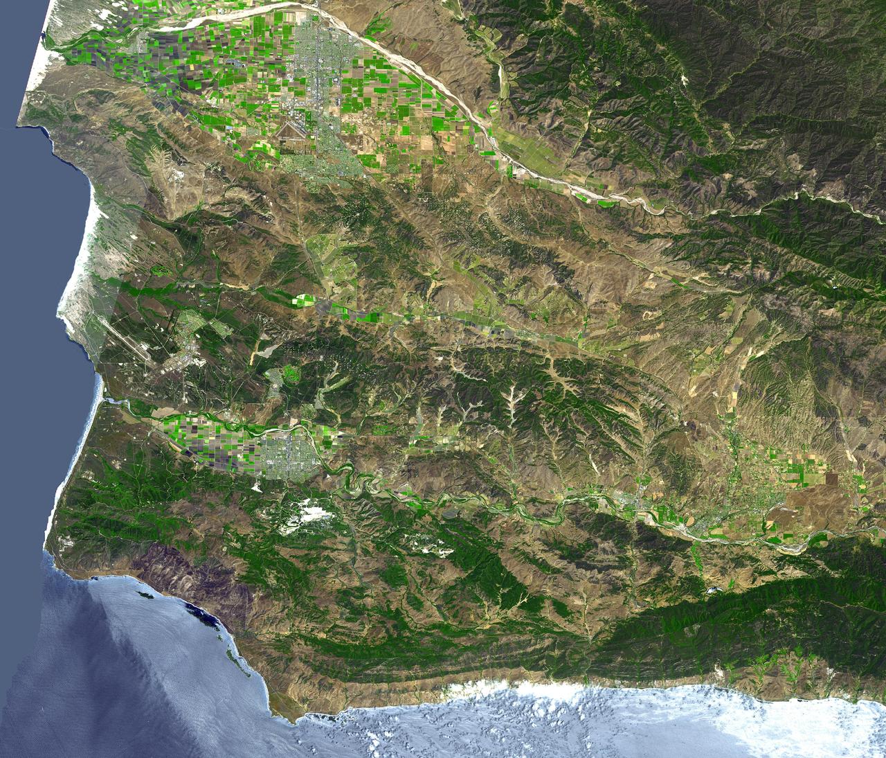
The area around Vandenberg Air Force Base, California is shown in this simulated natural color ASTER image. The city of Santa Maria is at the top left, and Lompoc is at the bottom left. Vandenberg includes the area along the coast and the prominent airport. This image was acquired on August 31, 2001 by the Advanced Spaceborne Thermal Emission and Reflection Radiometer (ASTER) on NASA's Terra satellite. With its 14 spectral bands from the visible to the thermal infrared wavelength region, and its high spatial resolution of 15 to 90 meters (about 50 to 300 feet), ASTER images Earth to map and monitor the changing surface of our planet. http://photojournal.jpl.nasa.gov/catalog/PIA03882
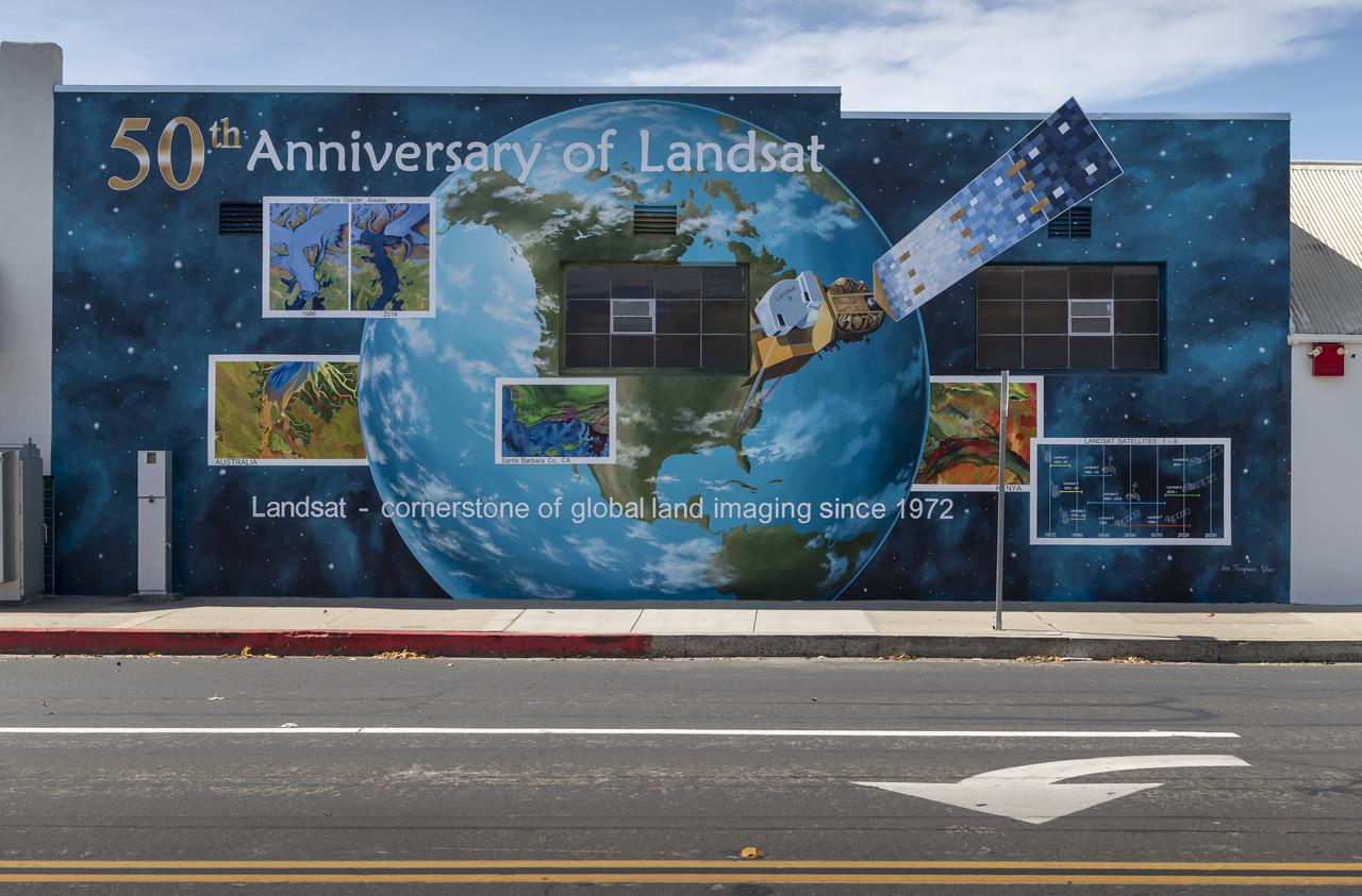
A mural celebrating the 50 years of the Landsat mission is seen, Tuesday, Sept. 28, 2021, in Lompoc, California. On Monday, Sept. 27, 2021, the Landsat 9 satellite, a joint NASA/U.S. Geological Survey mission that will continue the legacy of monitoring Earth’s land and coastal regions, launched from Vandenberg Space Force Base, California. Photo Credit: (NASA/Bill Ingalls)