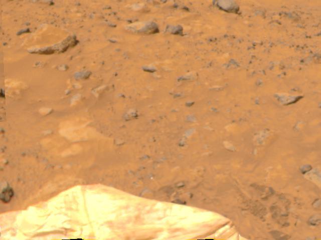
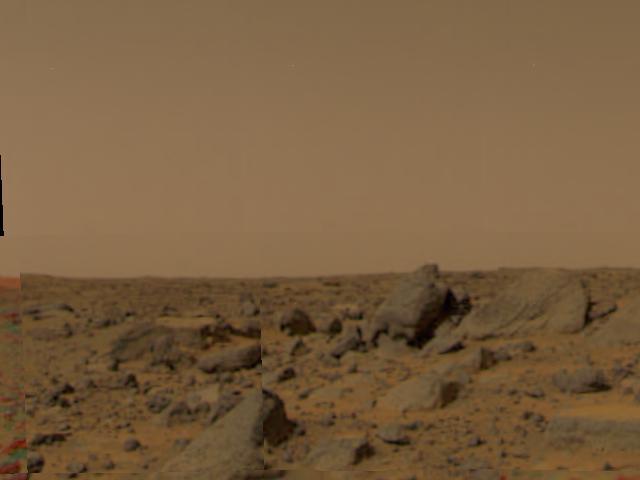
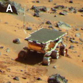
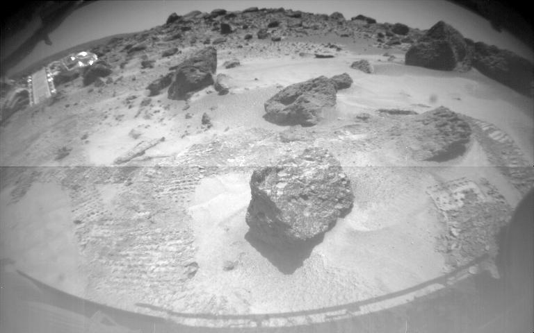
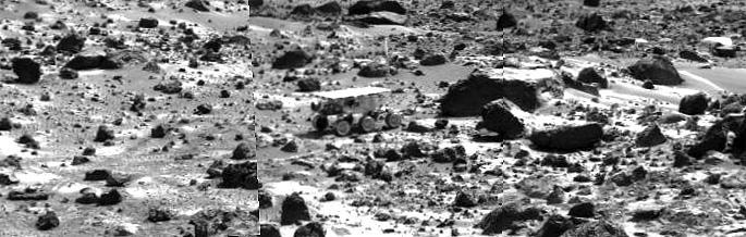
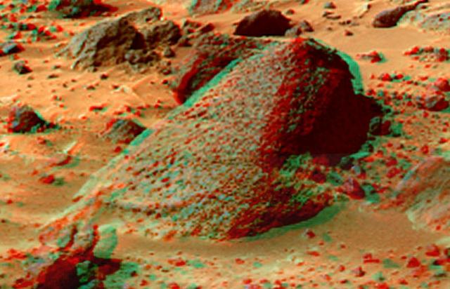
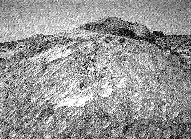
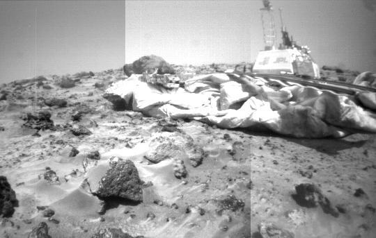
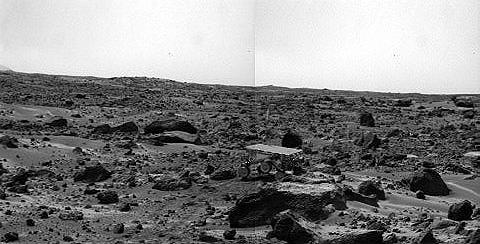
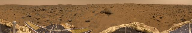
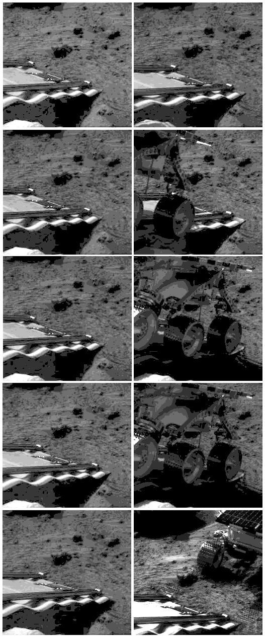
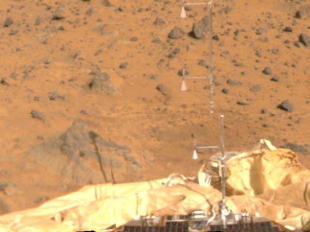
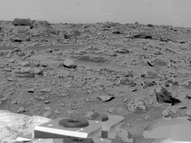
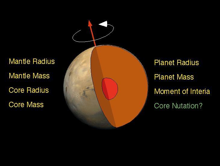
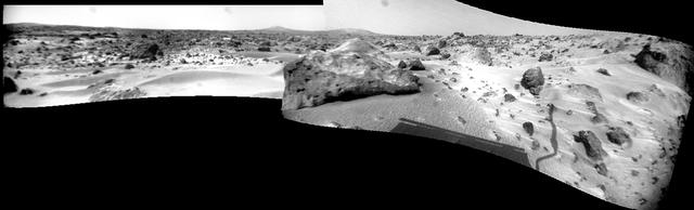
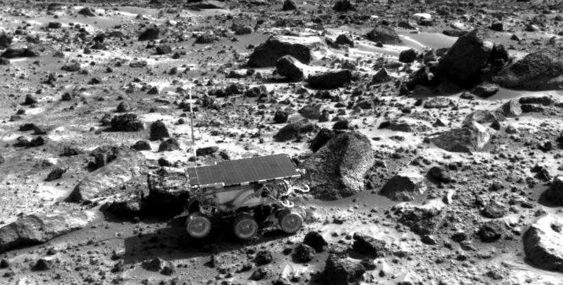
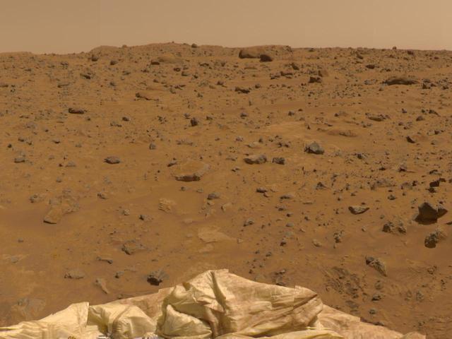
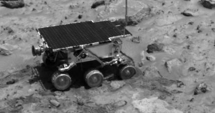
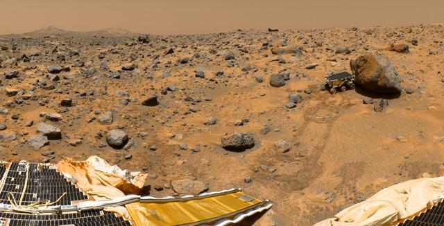
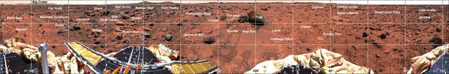
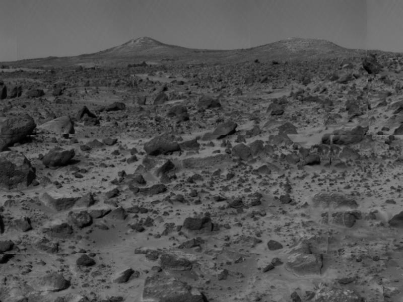
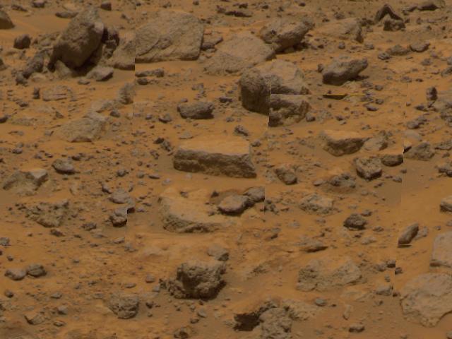
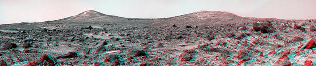
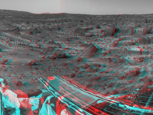
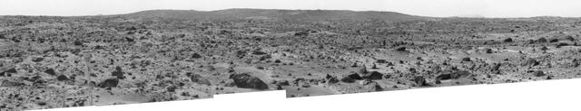
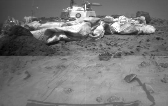
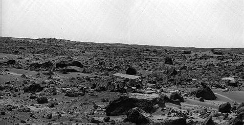
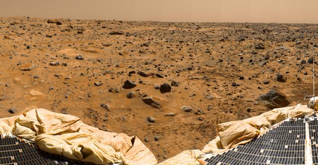
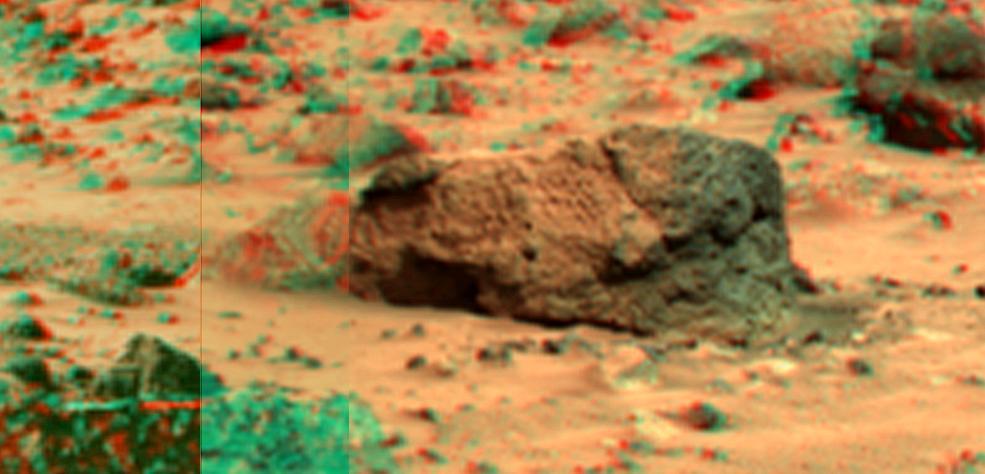
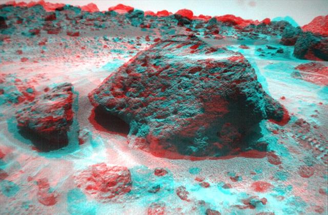
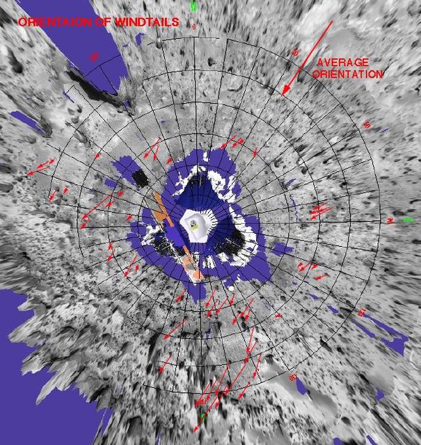
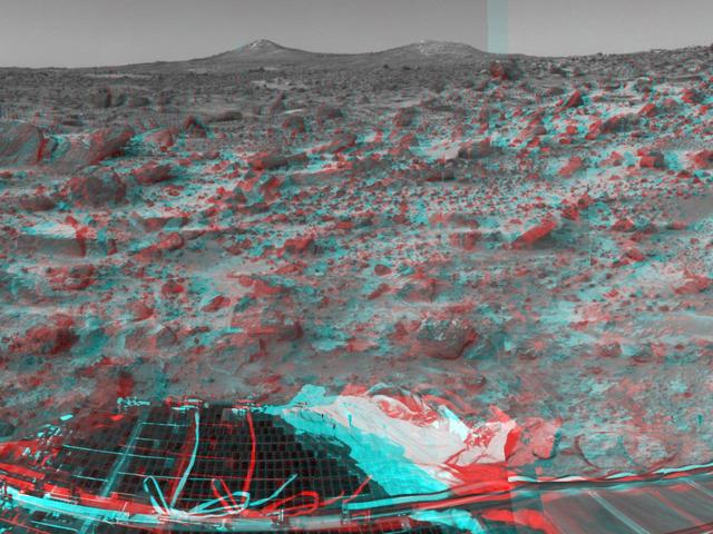
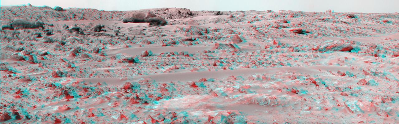
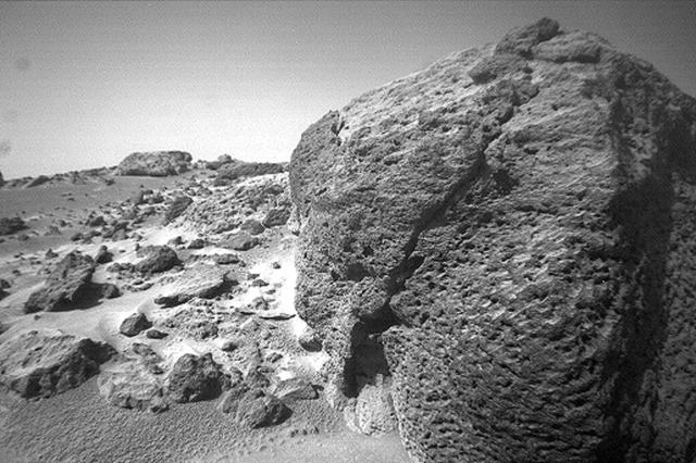
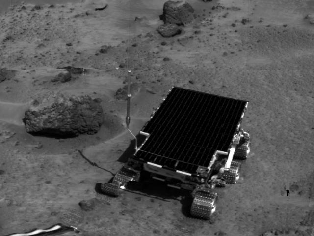
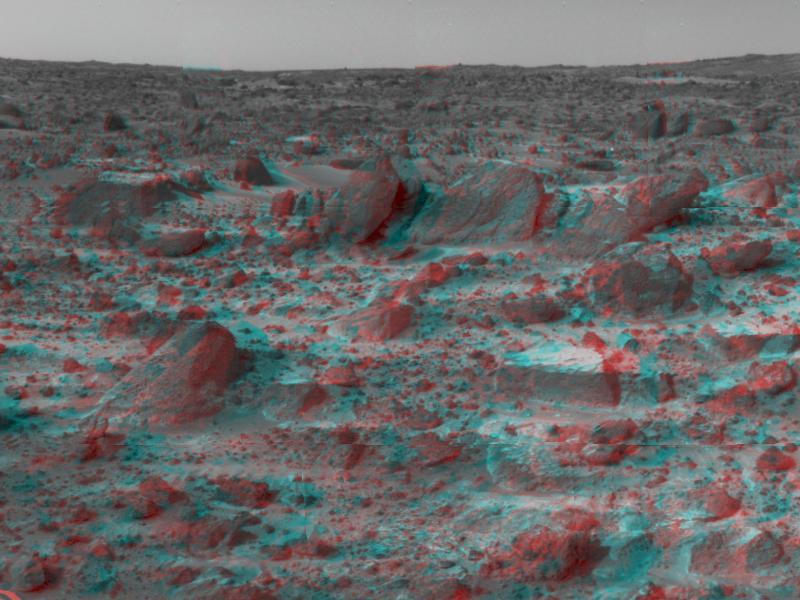
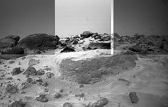
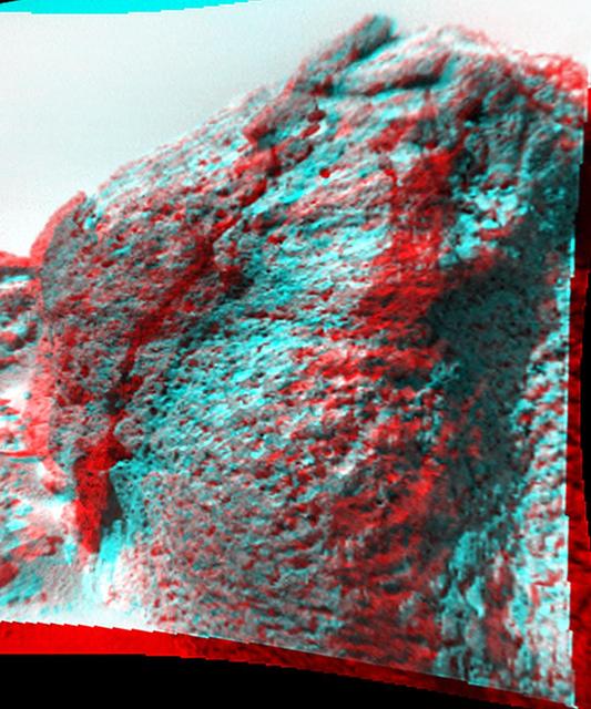
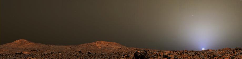
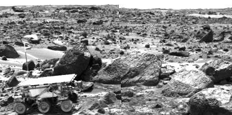
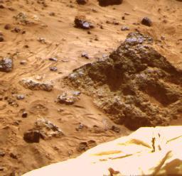
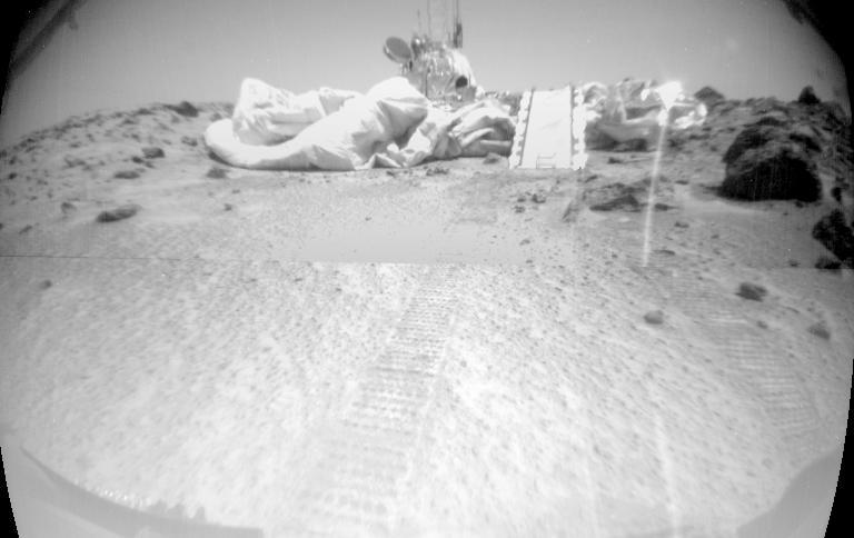
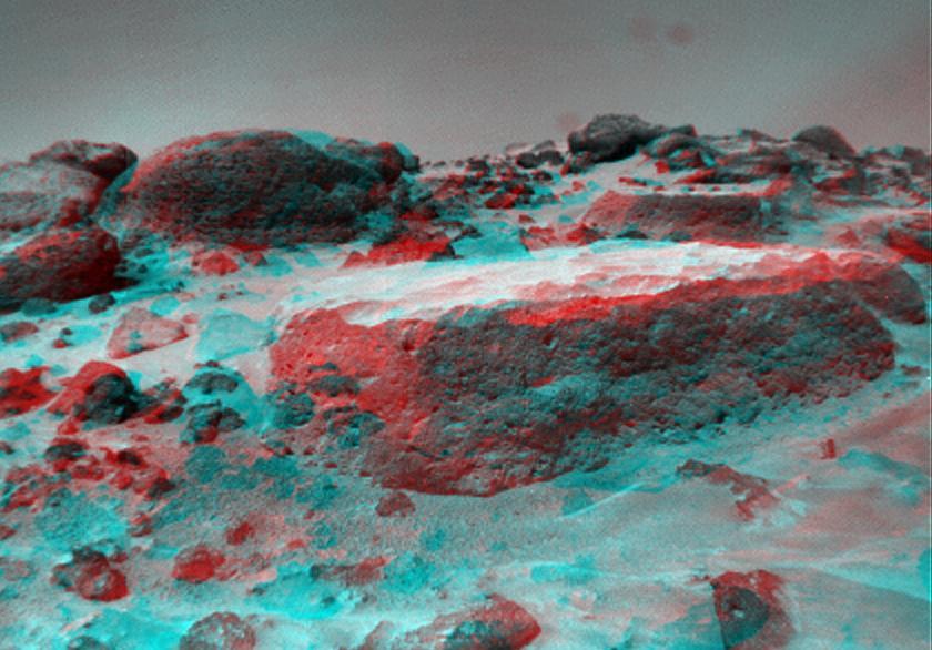
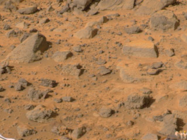
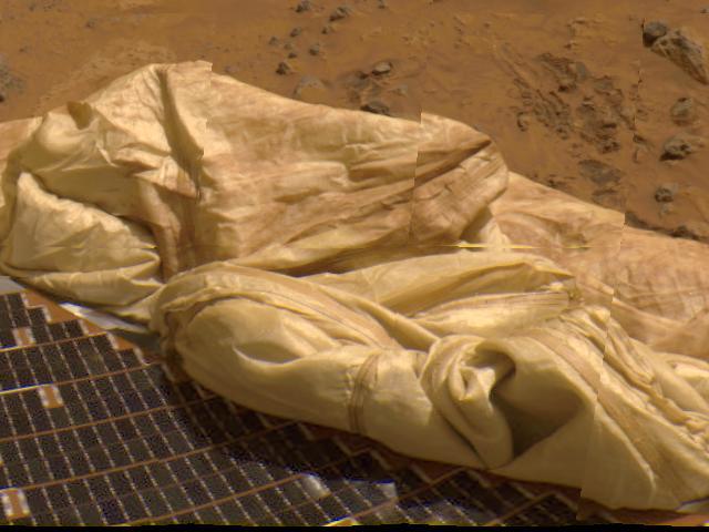
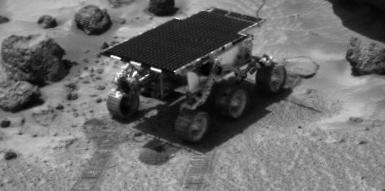
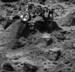
A close-up of the rectangular rock called "Flat Top" from NASA's Mars Pathfinder (MPF) rover Sojourner in July, 1997.  http://photojournal.jpl.nasa.gov/catalog/PIA00626
Flat Top
This color image shows the Sojourner rover's Alpha Proton X-ray Spectrometer (APXS) deployed against the rock "Moe" on the morning of Sol 65. The rock behind the rover is "Half Dome," which was previously measured by the APXS.   Sojourner spent 83 days of a planned seven-day mission exploring the Martian terrain, acquiring images, and taking chemical, atmospheric and other measurements. The final data transmission received from Pathfinder was at 10:23 UTC on September 27, 1997. Although mission managers tried to restore full communications during the following five months, the successful mission was terminated on March 10, 1998.   http://photojournal.jpl.nasa.gov/catalog/PIA00967
Sojourner at "Moe" - Color
This is an image from the super-pan sequence. Of importance are some of the features around the rock nicknamed Barnacle Bill in the left foreground. The rock shows a "streamlined tail" composed of particles deposited by wind on the leeward (downwind) side of the rock. Also seen is a "moat" around the opposite (windward) side of the rock where either erosion (or non-deposition) of fine sediment has occurred. Mars Pathfinder scientist believe that the wind blowing over and around rocks like Barnacle Bill creates an airflow pattern wherein a buffer zone is formed immediately upwind of the rock and airflow patterns keep sediment from being deposited directly upwind of Barnacle Bill. On the downwind side, however, the airflow is complex and a small wake and tapered "dead air zone" form. Sediment can be deposited within this region, the shape of the formed deposit corresponds to the airflow patterns that exist behind the rock. Similar features have been observed at the Viking landing sites, and are thought to form under high wind conditions during the autumn and winter seasons in the northern hemisphere. This image mosaic was processed by the U.S. Geological Survey in support of the NASA/JPL Mars Pathfinder Mars Mission.  Sojourner spent 83 days of a planned seven-day mission exploring the Martian terrain, acquiring images, and taking chemical, atmospheric and other measurements. The final data transmission received from Pathfinder was at 10:23 UTC on September 27, 1997. Although mission managers tried to restore full communications during the following five months, the successful mission was terminated on March 10, 1998.  http://photojournal.jpl.nasa.gov/catalog/PIA00982
"Barnacle Bill" and Surrounding from Super-Pan
This false color composite image from the Pathfinder lander shows the rock "Shark" at upper right (Shark is about 0.69 m wide, 0.40 m high, and 6.4 m from the lander). The rock looks like a conglomerate in Sojourner rover images, but only the large elements of its surface textures can be seen here. This demonstrates the usefulness of having a robot rover geologist able to examine rocks up close.  http://photojournal.jpl.nasa.gov/catalog/PIA00986
"Shark"
This false color composite image of the Rock Garden shows the rocks "Shark" and "Half Dome" at upper left and middle, respectively. Between these two large rocks is a smaller rock (about 0.20 m wide, 0.10 m high, and 6.33 m from the Lander) that was observed close-up with the Sojourner rover (see PIA00989).  http://photojournal.jpl.nasa.gov/catalog/PIA00987
"Rock Garden"
This enhanced color image of the Pathfinder landing site shows the eastern horizon. The elongated, reddish, low contrast region in the distance is "Roadrunner Flats." This image was taken by the Imager for Mars Pathfinder (IMP).   Sojourner spent 83 days of a planned seven-day mission exploring the Martian terrain, acquiring images, and taking chemical, atmospheric and other measurements. The final data transmission received from Pathfinder was at 10:23 UTC on September 27, 1997. Although mission managers tried to restore full communications during the following five months, the successful mission was terminated on March 10, 1998.   http://photojournal.jpl.nasa.gov/catalog/PIA00979
"Roadrunner Flats"
First Image of Clouds over Mars
Flat
Flat
This anaglyph view of Ender, due south of the lander, was produced by NASA Mars Pathfinder Imager camera. 3D glasses are necessary to identify surface detail.
Ender in Super Resolution from Super Panorama
Mars Pathfinder Landing Ellipses
This is a more recent geometrically improved, color enhanced version of the 360-degree Gallery Pan, the first contiguous, uniform panorama taken by the Imager for Mars IMP over the course of Sols 8, 9, and 10.
Improved MPF 360-degree Color Panorama
Mosaic of Mermaid
Mosaic of Mermaid
Standard Raw View of Mini-Matterhorn
Sunset on Mars from Pathfinder Images
This area of terrain near the Sagan Memorial Station was taken by NASA Mars Pathfinder. The curved rock dubbed Couch. 3D glasses are necessary to identify surface detail.
Couch & Martian Terrain - 3-D
Large boulders are visible in this enlargement of pictures taken by the Imager for Mars Pathfinder (IMP) lander camera on July 4, 1997. The landing site is in the dry flood channel named Ares Valles. The boulders probably represent deposits from one of the catastrophic floods that carved the ancient channel. Between the rocks is brownish windblown soil. The gray-tan sky results from dust particles in the atmosphere.  http://photojournal.jpl.nasa.gov/catalog/PIA00609
Large Boulders at Landing Site
Yogi is a meter-size rock about 5 meters northwest of NASA Mars Pathfinder lander and was the second rock visited by the Sojourner Rover alpha proton X-ray spectrometer APXS instrument. 3D glasses are necessary to identify surface detail.
Yogi in Super Resolution from Super Panorama
Forward Ramp Deploy
Forward Ramp Deploy
Many prominent rocks near the Sagan Memorial Station are featured in this image, from NASA Mars Pathfinder. Flat Top and Little Flat Top are at center. 3-D glasses are necessary to identify surface detail.
Forward Ramp and Twin Peaks - 3-D
Pebbles, Cobbles, and Sockets
Sojourner Rover View of Well-Rounded Pebbles in Cabbage
Diversity of Soils near Rover Deploy Region
This view of Boo Boo was produced by combining the Super Panorama frames from the IMP camera from NASA Mars Pathfinder lander. 3D glasses are necessary to identify surface detail.
Boo Boo in Super Resolution from Super Panorama
Sojourner Rover Behind Chimp - Left Eye
APXS on Barnacle
APXS on Barnacle
This panorama of the region to the northeast of the lander was constructed to support the Sojourner Rover Team's plans to conduct an "autonomous traverse" to explore the terrain away from the lander after science objectives in the lander vicinity had been met. The large, relatively bright surface in the foreground, about 10 meters (33 feet) from the spacecraft, in this scene is "Baker's Bench." The large, elongated rock left of center in the middle distance is "Zaphod."  This view was produced by combining 8 individual "Superpan" scenes from the left and right eyes of the IMP camera. Each frame consists of 8 individual frames (left eye) and 7 frames (right eye) taken with different color filters that were enlarged by 500% and then co-added using Adobe Photoshop to produce, in effect, a super-resolution panchromatic frame that is sharper than an individual frame would be.  http://photojournal.jpl.nasa.gov/catalog/PIA01000
Northeast View from Pathfinder Lander
This anaglyph view of Souffle, to the left of Yogi, was produced by NASA Mars Pathfinder Imager camera. 3D glasses are necessary to identify surface detail.
Souffle as Viewed by the Rover
ASI/MET Mast
ASI/MET Mast
Sojourner near Chimp
Pits and Flutes on Stimpy - Left Eye
Sojourner Rover View of Platy Fragments near Pop-Tart
Twin Peaks are modest-size hills to the southwest of NASA Mars Pathfinder landing site. They were discovered on the first panoramas taken by the IMP camera on the 4th of July, 1997. 3D glasses are necessary to identify surface detail.
The Twin Peaks in 3-D, as Viewed by the Mars Pathfinder IMP Camera
Big Crater is actually a relatively small Martian crater to the southeast of NASA Mars Pathfinder landing site. 3D glasses are necessary to identify surface detail.
Big Crater as Viewed by Pathfinder Lander - Anaglyph
Super Resolution View of Barnacle
Lander and Mini
Lander and Mini
Close-up View of Chimp - Left Eye
This temperature figure shows the change in the mean and variance of the temperature fluctuations at the Pathfinder landing site. Sol 79 and 80 are very similar, with a significant reduction of the mean and variance on Sol 81. The science team suspects that a cold front has past of the landing sight between Sols 80 and 81.  http://photojournal.jpl.nasa.gov/catalog/PIA00978
MPF Top-Mast Measured Temperature
Stereo Images of Wind Tails Near Chimp
Big
Big
Mini Matterhorn is a 3/4 meter rock immediately east-southeast of NASA Mars Pathfinder lander. 3D glasses are necessary to identify surface detail.
Mini Matterhorn in Super Resolution from Super Panorama
Region of Pathfinder Landing Site
Yogi and Rover Tracks
Airbag and ASI/MET Instrument in 360-degree Panorama
High Spectral Resolution Image of Stripe
The two hills in the distance in this stereo image from NASA Mars Pathfinder have been dubbed the Twin Peaks. 3D glasses are necessary to identify surface detail.
Lander Petal & Twin Peaks - 3-D
Sol 8
Sol 8
Portions of the lander deflated airbags and a petal are at lower left in this image from NASA Mars Pathfinder. 3D glasses are necessary to identify surface detail.
Petal, terrain & airbags - 3-D
Pooh
Pooh
Sojourner near Barnacle
This image from NASA Mars Pathfinder shows the large rock nicknamed Yogi. Portions of a petal and deflated airbag are in the foreground. 3D glasses are necessary to identify surface detail.
Terrain and Rock Yogi - 3-D
Sojourner, Barnacle
Sojourner, Barnacle
Pits and Flutes on Stimpy - Right Eye
NASA Mars Pathfinder Lander, Sojourner, made contact with the rock Yogi in this false-color image from 1997, taken with the Imager for Mars Pathfinder IMP.
Yogi in False Color
Pooh
Pooh
Sojourner Rover Near Half
Big Crater as Viewed by Pathfinder Lander
First IMP Image
First IMP Image
Looking Westward at the Lander
The Mini Matterhorn is a 3/4 meter rock immediately east-southeast of NASA Mars Pathfinder lander. 3D glasses are necessary to identify surface detail.
Super Resolution Anaglyph of Mini-Matterhorn
Forward Ramp & Low Gain Antenna
Stripe Rock Spectra
Stripe Rock Spectra
Rover Wheel & Tracks - Color
Closeup of Mermaid
Closeup of Mermaid
Rock and Soil Types at Pathfinder Landing Site
False Color Processing to Enhance Differences Around Yogi
Disturbing Pop-Tart
Disturbing Pop-Tart
Twin Peaks in Super Resolution - Right Eye
Mars Pathfinder Filled
A Rover Wheel in Soil - Color
Mars Pathfinder Landing Site
Pebbles and Cobbles at MPF Site
This anaglyph view of Chimp, south southwest of the lander, was produced by NASA Mars Pathfinder Imager camera. 3D glasses are necessary to identify surface detail.
Chimp in Super Resolution from Super Panorama
This panoramic view taken by NASA Mars Pathfinder is a controlled mosaic of approximately 300 IMP images. 3D glasses are necessary to identify surface detail.
Panoramic Views of the Landing site from Sagan Memorial Station
Sojourner at Wedge
Sojourner at Wedge
Half
Half
Close-up of Moe - Left Eye
Marie Curie sits on the lander petal prior to deployment during the pre-launch Operations Readiness Test ORT 6. NASA Pathfinder, a low-cost Discovery mission, is the first of a new fleet of spacecraft that are planned to explore Mars.
Marie
"Barnacle Bill" is a small rock immediately west-northwest of the Mars Pathfinder lander and was the first rock visited by the Sojourner Rover's alpha proton X-ray spectrometer (APXS) instrument. This image shows super resolution techniques applied to the first APXS target rock, which was never imaged with the rover's forward cameras. Super resolution was applied to help to address questions about the texture of this rock and what it might tell us about its mode of origin.  This view of Barnacle Bill was produced by combining the "Super Panorama" frames from the IMP camera. Super resolution was applied to help to address questions about the texture of these rocks and what it might tell us about their mode of origin. The composite color frames that make up this anaglyph were produced for both the right and left eye of the IMP. The composites consist of 7 frames in the right eye and 8 frames in the left eye, taken with different color filters that were enlarged by 500% and then co-added using Adobe Photoshop to produce, in effect, a super-resolution panchromatic frame that is sharper than an individual frame would be. These panchromatic frames were then colorized with the red, green, and blue filtered images from the same sequence. The color balance was adjusted to approximate the true color of Mars.  The anaglyph view was produced by combining the left with the right eye color composite frames by assigning the left eye composite view to the red color plane and the right eye composite view to the green and blue color planes (cyan), to produce a stereo anaglyph mosaic. This mosaic can be viewed in 3-D on your computer monitor or in color print form by wearing red-blue 3-D glasses.  http://photojournal.jpl.nasa.gov/catalog/PIA01409
Barnacle Bill in Super Resolution from Super Panorama
Pre-Dawn Martian Sky
Dust Wind Tails Around Rocks
Wedge and Flat Top
Wedge and Flat Top
Overhead View of Area Surrounding Pathfinder
Pathfinder Rover Atop Mermaid
Portion of Enhanced 360-degree Gallery Pan
Martian Soil Color Variations
This view of Bookshelf Two was produced by combining the Super Panorama frames from the IMP camera from NASA Mars Pathfinder lander. 3D glasses are necessary to identify surface detail.
Bookshelf Two in Super Resolution from Super Panorama
Pitted Rock Named Ender
This anaglyph view of Ender, due south of the lander, was produced by NASA Mars Pathfinder Imager camera. 3D glasses are necessary to identify surface detail.
Ender as Viewed by the Rover
Clouds over the Eastern Martian Horizon
This anaglyph view of Flat Top, due south of the lander, was produced by NASA Mars Pathfinder Imager camera. 3D glasses are necessary to identify surface detail.
Flat Top as Viewed by the Rover
ASI/MET
ASI/MET
The Rotation and Orbit Dynamics experiment is based on measuring the Doppler range to Pathfinder using the radio link. Mars rotation about it's pole causes a signature in the data with a daily minimum when the lander is closest to the Earth. Changes in the daily signature reveal information about the planetary interior, through its effect on Mars' precession and nutation. The signature also is sensitive to variations in Mars' rotation rate as the mass of the atmosphere increases and decreases as the polar caps are formed in winter and evaporate in spring. Long term signatures in the range to the lander are caused by asteroids perturbing Mars' orbit. Analysis of these perturbations allows the determination of the masses of asteroids.  Sojourner spent 83 days of a planned seven-day mission exploring the Martian terrain, acquiring images, and taking chemical, atmospheric and other measurements. The final data transmission received from Pathfinder was at 10:23 UTC on September 27, 1997. Although mission managers tried to restore full communications during the following five months, the successful mission was terminated on March 10, 1998.   http://photojournal.jpl.nasa.gov/catalog/PIA00975
Mars Rotational and Orbital Dynamics
NASA Mars Pathfinder forward rover ramp can be seen successfully unfurled in this image, taken in stereo by the Imager camera. The large rock dubbed Wedge is at lower right. 3-D glasses are necessary to identify surface detail.
Martian Terrain & Wedge in 3-D
Rocky Terrain & Airbags
Sojourner Doing a Wheelie on Wedge - Right Eye
Sojourner Rover View of Pathfinder Lander
Martian terrain near Pathfinder
Deflated Airbags and Petal in 360-degree panorama
A Violet Martian Sky
True Color of Mars - Pathfinder Sol 39 Sunrise