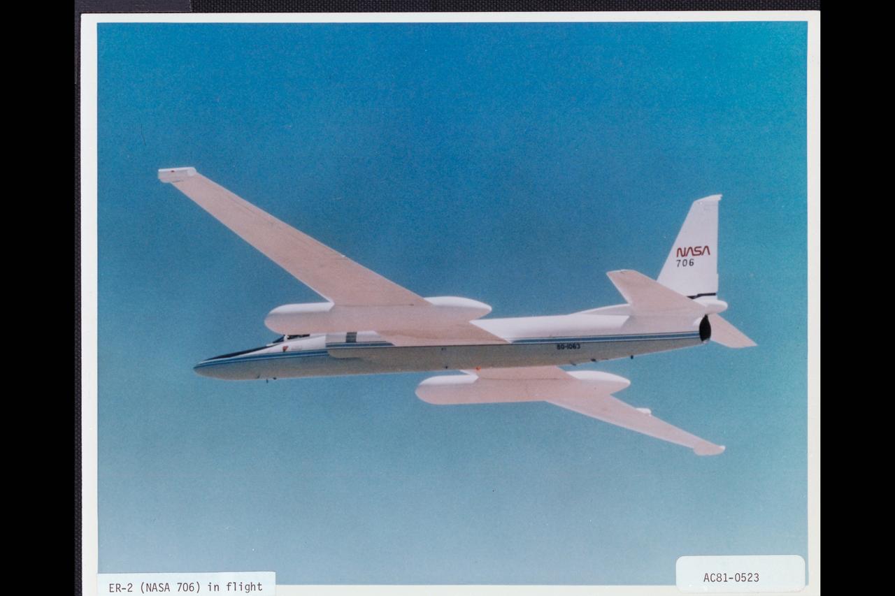
Lockheed ER-2 (NASA-706) in flight
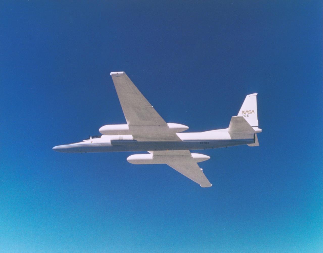
ER-2 (NASA-706) in flight. (Lockheed C81-1197-13)
ER-2 (NASA-706) in flight. (Lockheed C81-1197-13)
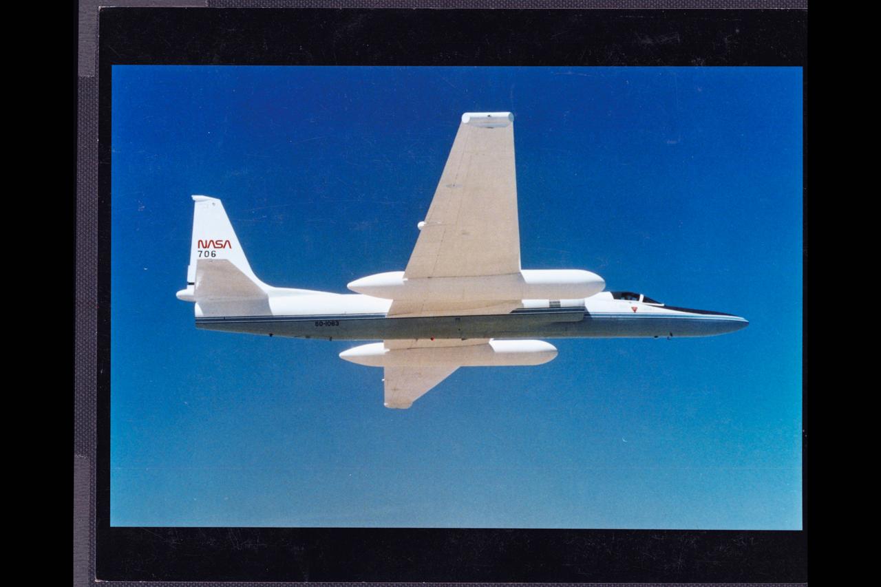
ER-2 (NASA-706) in flight. (Lockheed C81-1197-13)
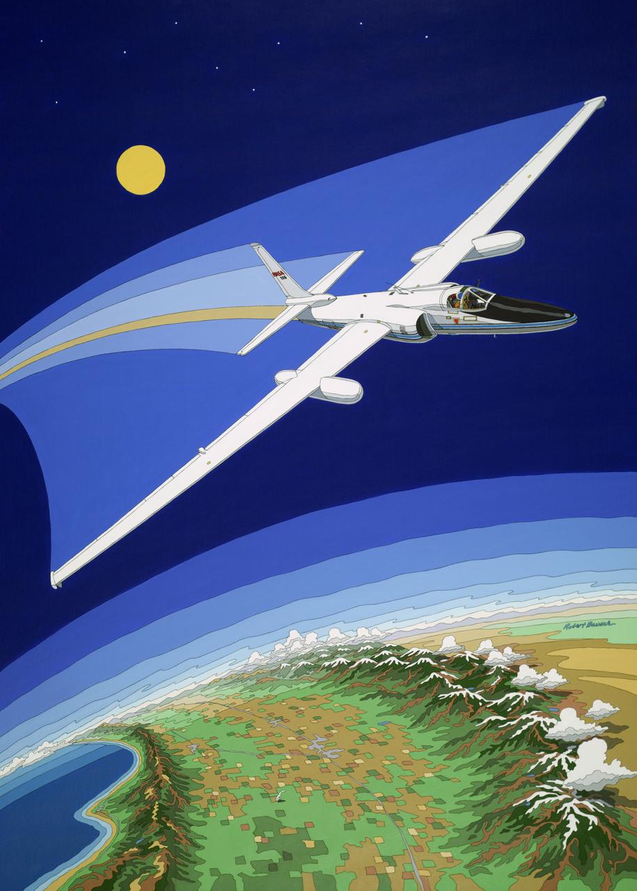
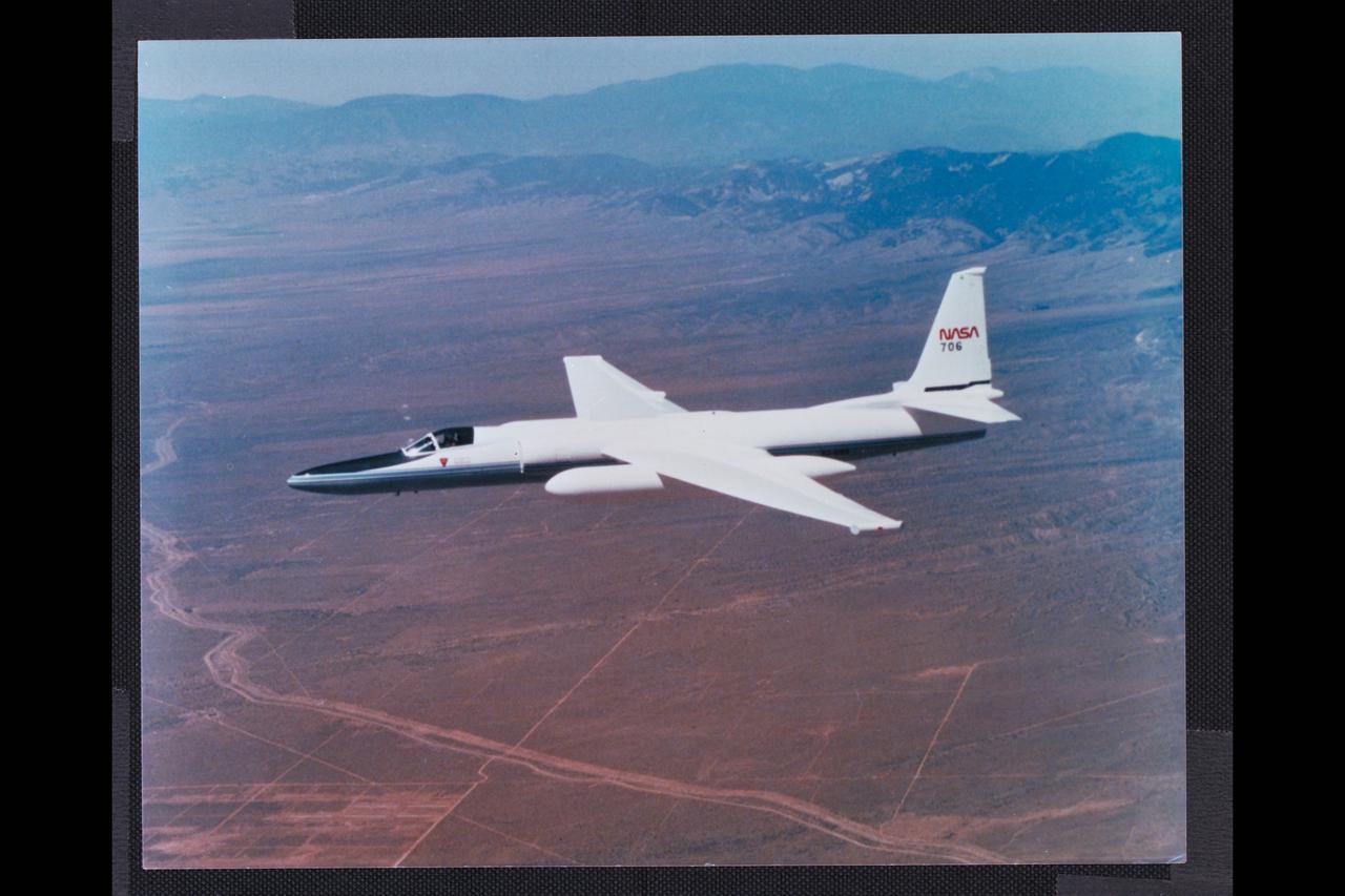
ER-2 (NASA 706) IN FLIGHT over California's Central Valley (Artwork by Robert Bausch)
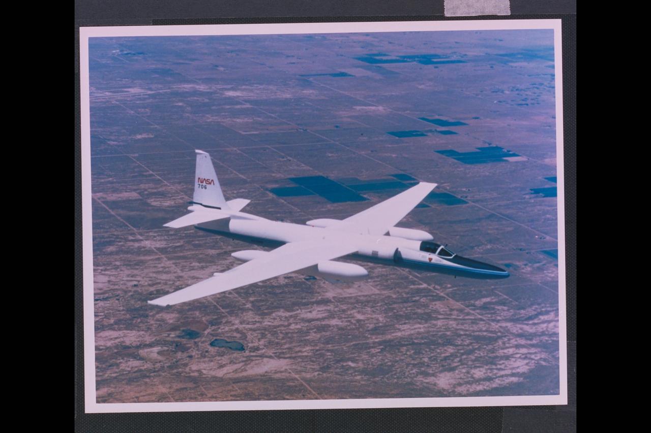
Lockheed ER-2 (NASA-706) in flight Lockheed ref: C81-1197-13
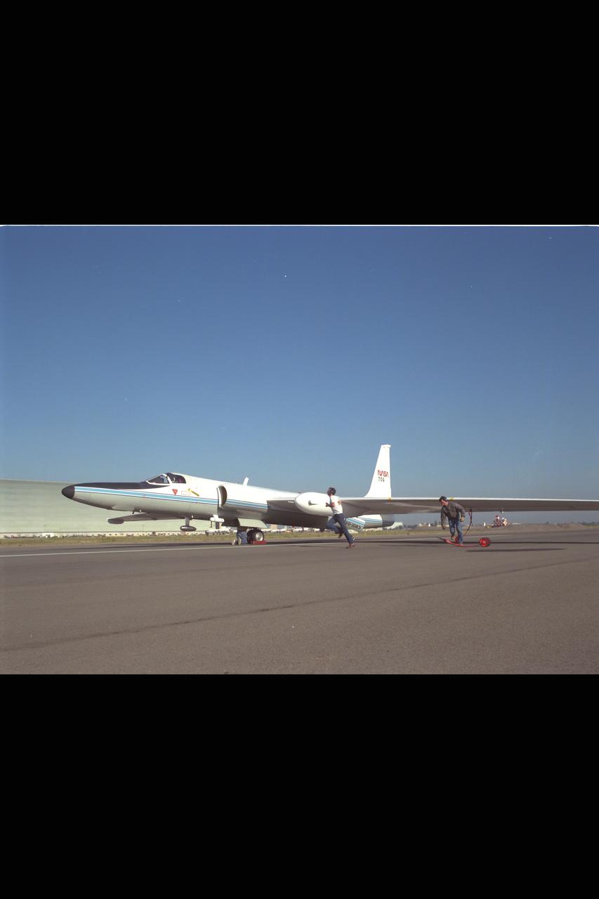
ER-2 (NASA 706) landing, image show wing wheels being placed by landing crew.
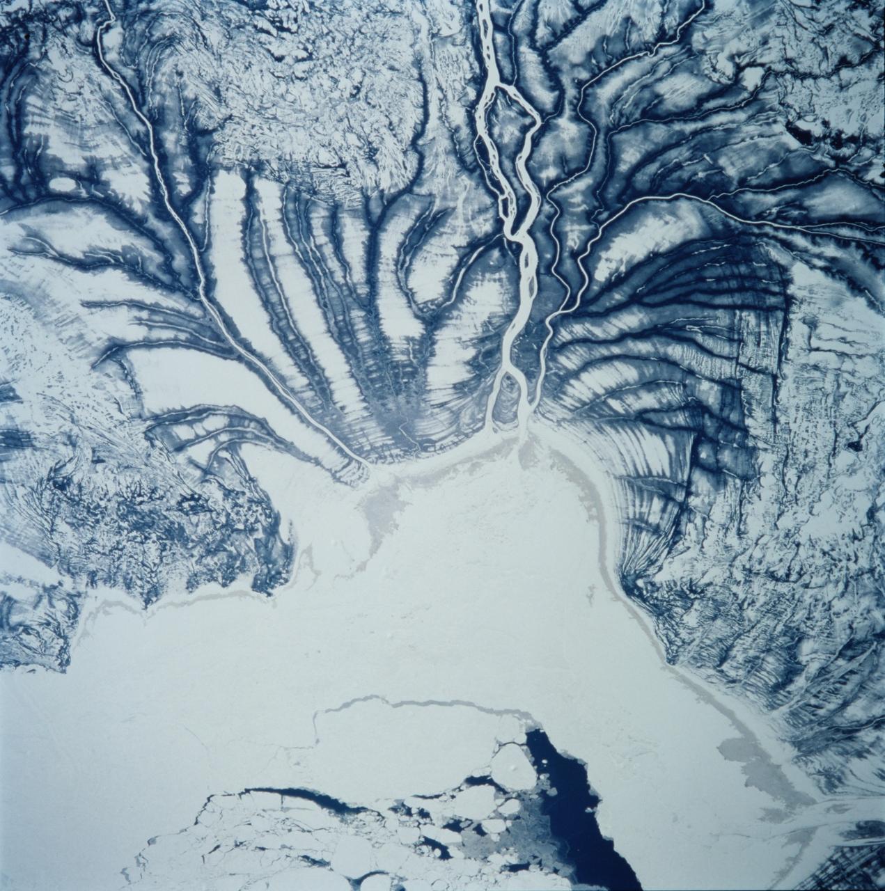
STS099-706-090 (11-22 February 2000) ---One of the astronauts aboard the Space Shuttle Endeavour for the STS-99 mission recorded this 70mm image of Hannah Bay, in the southern part of St. James Bay. The river is the Harricanaw River. Numerous shorelines around Hudson and St. James Bays are distinctive in winter because of snow cover. According to NASA scientists, shorelines were created when the overlying glaciers retreated and the land underneath rebounded causing the Hudson and St. James Bay waters to retreat northward. These ridges are 100 to 200 meters in width and heights can reach up to 7 meters. The land along St. James Bay consists mainly of tidal flats and salt marshes.
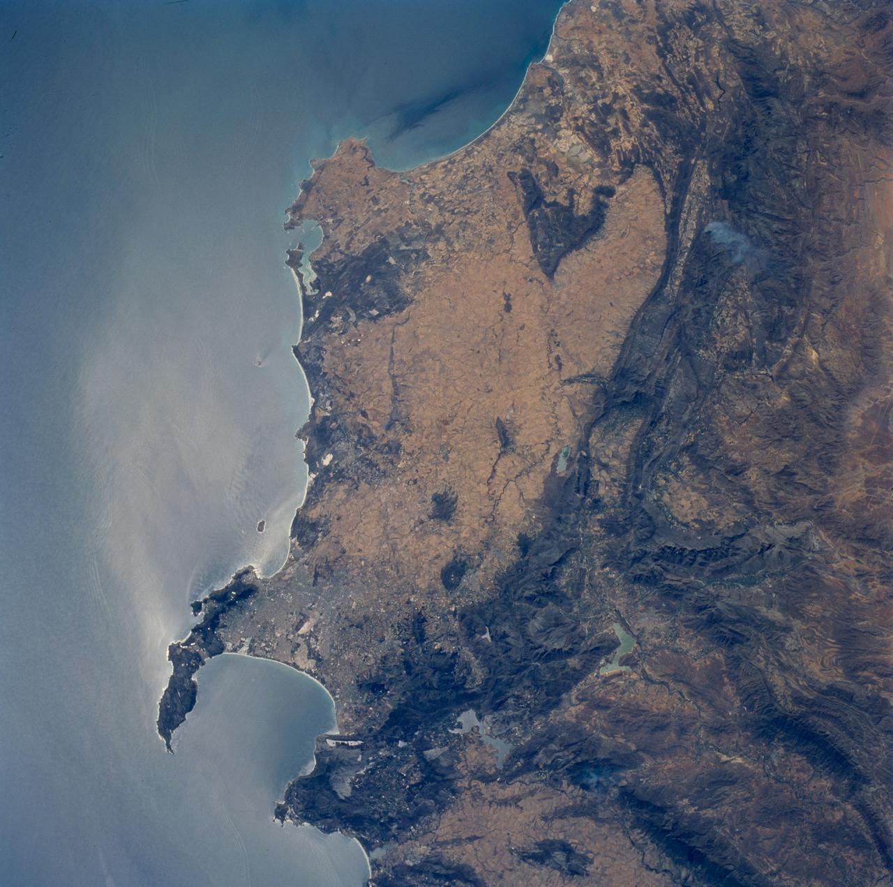
STS089-706-068 (22-31 Jan. 1998) --- This nadir view of the southern Cape District of South Africa was photographed with a 70mm handheld camera from the Earth-orbiting space shuttle Endeavour. Prominent landmarks are the Cape of Good Hope, False Bay and Cape Town. Cape Town is the gray area at the base of the peninsula that forms the Cape of Good Hope. East and north of Cape Town the dark mountain ranges are the Cape Fold Belt. Northerly structures of the region formed approximately 580 million years ago when east Antarctica, Africa and parts of South America combined. According to NASA scientists those continents separated and then recombined about 230 million years ago; in the later event, the northerly structures were again active and the west-trending folds of the Great and Little Karroo ranges formed. The westerly structures of the Karroo formed somewhat later; the northerly structures were re-folded at that time. The great continental mass, Gondwana, remained together until around 175 million years ago, when it rifted apart leaving the coastline essentially as it is seen today. Photos such as this are useful to geologists working in these areas as they provide, quite literally, the big picture in complex regions. Other items of interest are the internal waves noted offshore, several trains can be seen east, north and south of Cape Town. In the mountains to the north (upper left corner) a large brush fire is seen from the smoke plume. The giant gold and diamond mines are located northeast and east of this photo. The gold province is primarily located around Johannesburg (450 miles northeast) and the diamond mines are approximately 300 miles northeast around Kimberley. Photo credit: NASA