NEAR Shoemaker Path
NEAR Shoemaker Path
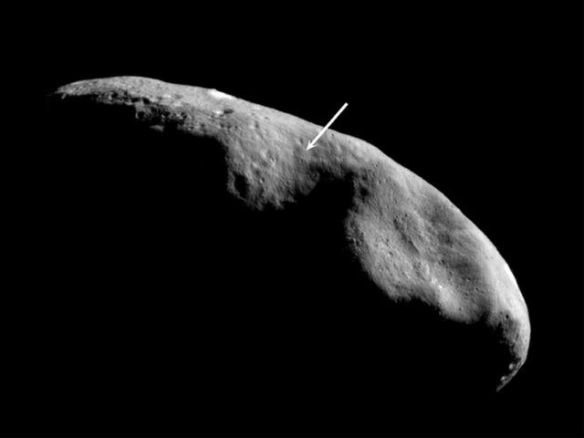
Location of the NEAR Shoemaker Landing Site
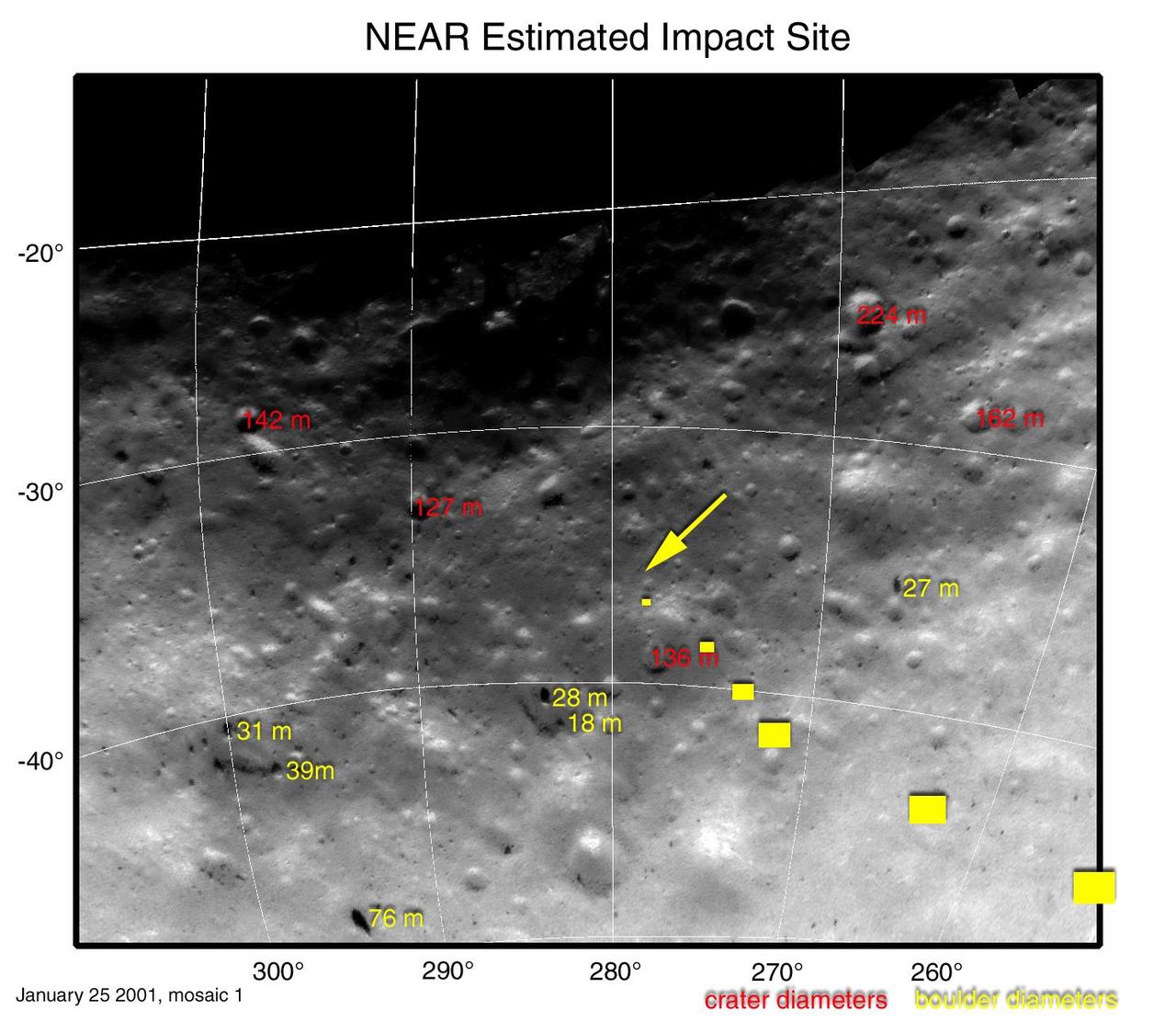
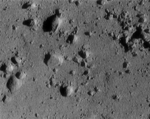
Landmarks at NEAR Shoemaker Touchdown Site
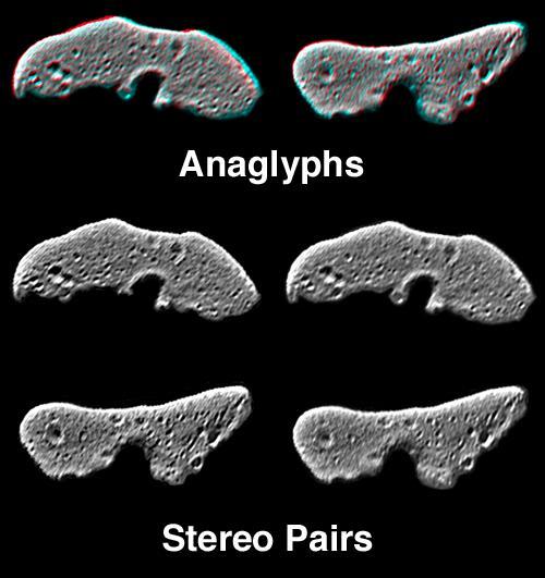
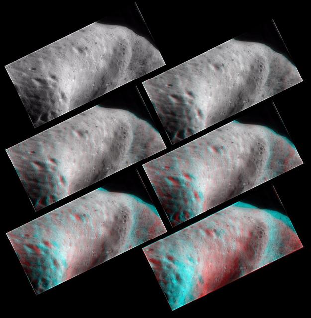
This image from NASA NEAR Shoemaker is of processed data showing Eros from slightly different perspectives is combined as anaglyphs or stereo pairs. 3D glasses are necessary to view this image.
Eros Global Morphology
Stereo imaging, an important tool on NASA NEAR Shoemaker for geologic analysis of Eros, provides three-dimensional information on the asteroid landforms and structures. 3D glasses are necessary to view this image.
Eros in Stereo
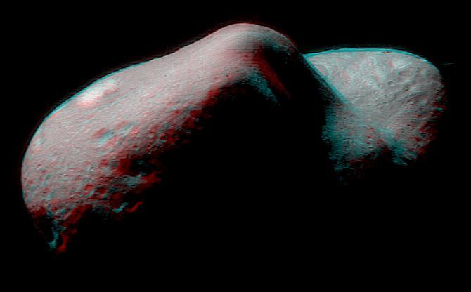
62 miles above Eros, NASA NEAR Shoemaker took several frames which were combined to create this anaglyph of the saddle region, 3D glasses are necessary to view this image.
The Saddle in 3-D
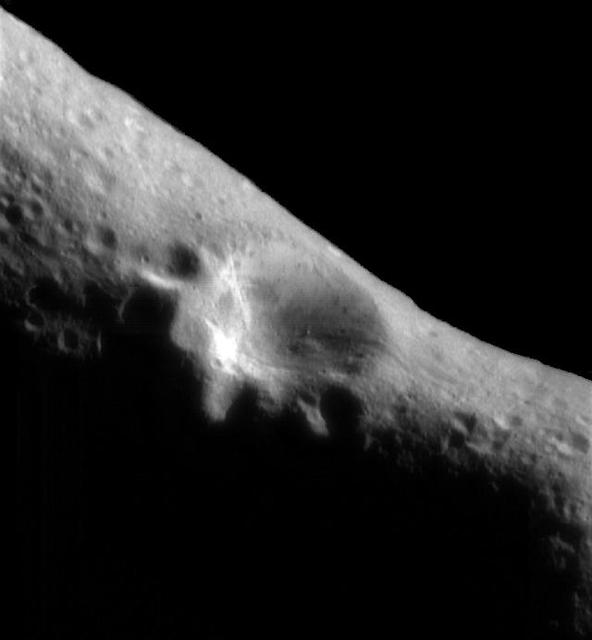
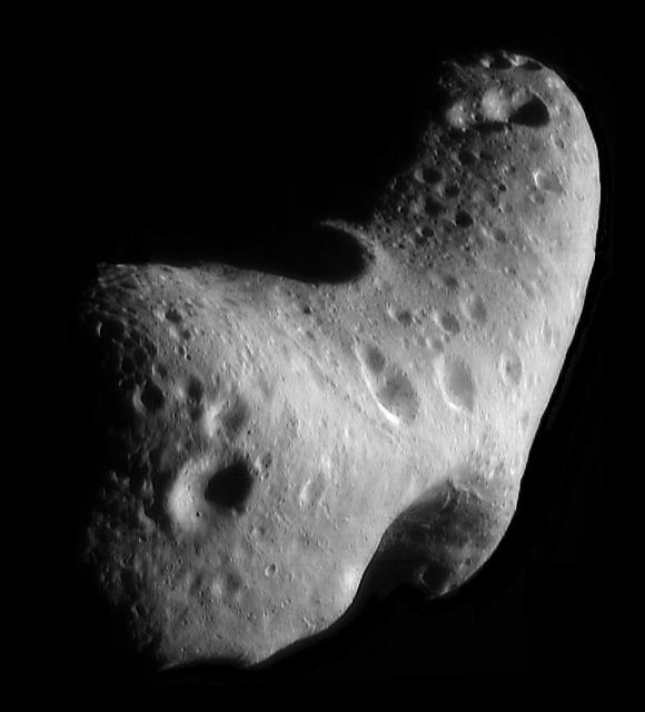
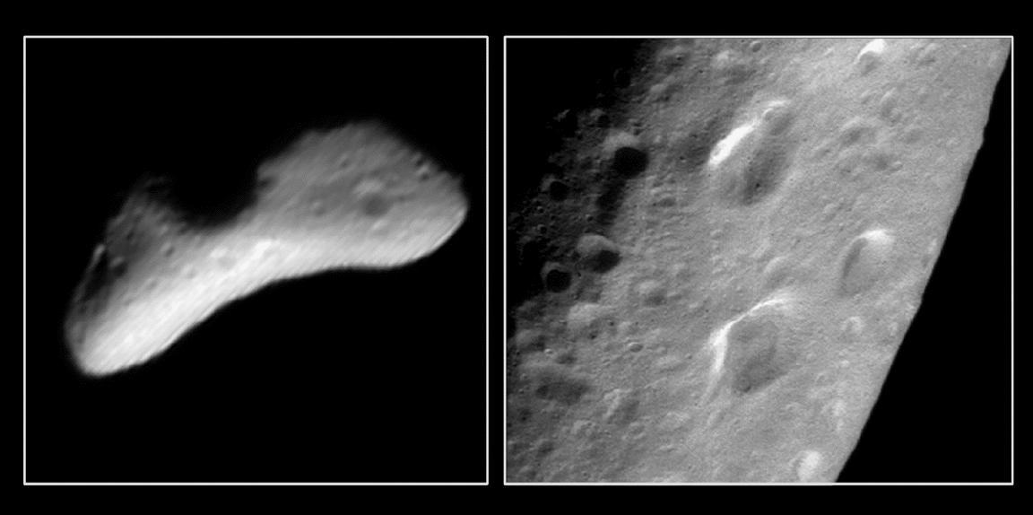
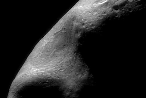
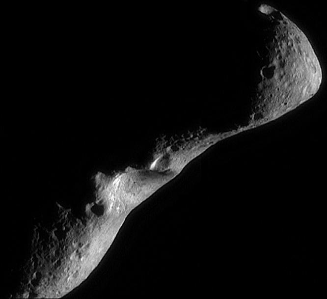
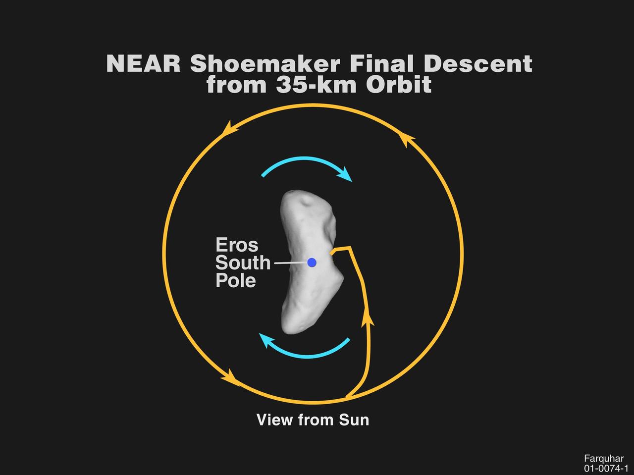
Again and again, NEAR Shoemaker's imager is being directed at the "saddle region" of Eros, to observe this feature under the widest variety of lighting conditions. This image of the saddle was taken March 22, 2000, from a range of 208 kilometers (129 miles). Generically speaking, a saddle is a low ridge connecting two mountains. The definition does not include an explanation for the origin of the curvature. Similarly, on Eros, the term "saddle region" is a description of a physical feature and doesn't imply any particular origin.  Perhaps the most frequently asked question about Eros' surface is, "What is the origin of the saddle?" Was it formed as a spallation scar resulting from the impact that created the large 5.5-kilometer (3.4-mile) diameter crater on the opposite side of the asteroid? To determine its origin will take time. Right now, the southern part of the feature is still in shadow. Over the next few months, as the Sun moves south in Eros' sky, the whole saddle will become visible. As NEAR Shoemaker continues to take more and more pictures of the saddle region, we will be better able to answer key questions about this feature.  http://photojournal.jpl.nasa.gov/catalog/PIA02900
Back in the Saddle Again
Mosaic of Mathilde
Mosaic of Mathilde
Multiple Horizons
Multiple Horizons
A Lacework Surface
A Lacework Surface
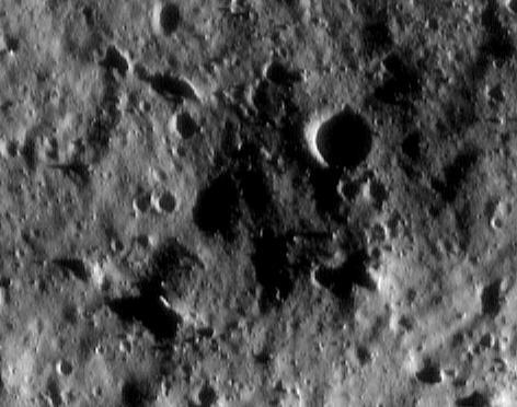
Glimpses into Eros Shadows
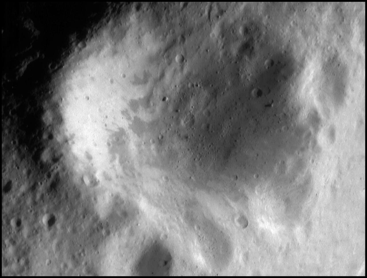
The Impact of Cratering
The Subtle Colors of Eros
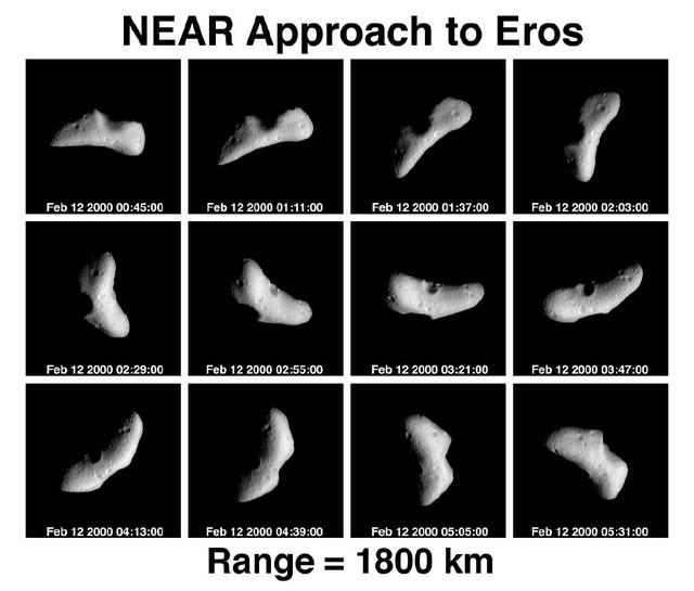
NEAR Approach to Eros - 12 Panel Rotation Sequence
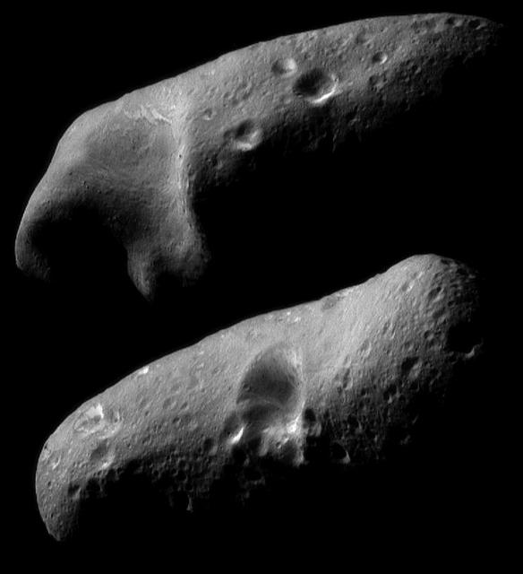
Eros Eastern and Western Hemispheres
A Changing Picture of Eros
Eros: Closest View Yet! 36 km altitude
Looking Along the Southern Hemisphere of Eros
Oblique View of Eros Crater
The Signs of the Times
NEAR Historic First Image from Eros Orbit
Down, Down, Down
Down, Down, Down
Mosaic of Eros Northern Hemisphere
Eros Angular Eastern End
Interesting Structural Features on Eros
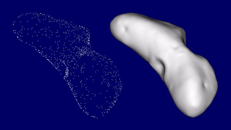
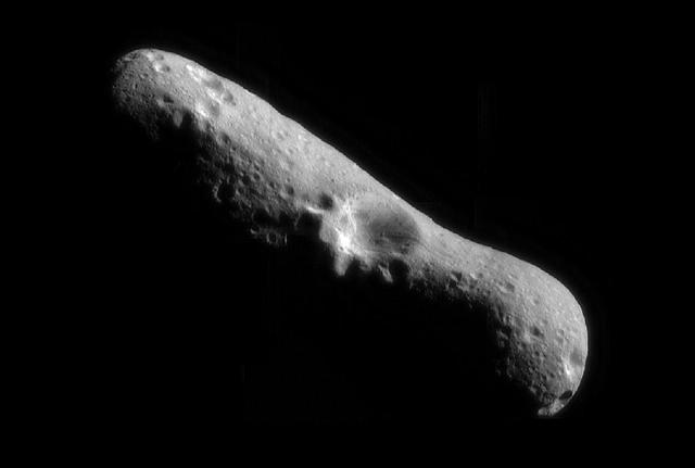
The Shape of Eros
The Shape of Eros
Eros at Closest Approach
A Look at Psyche
A Look at Psyche
Regolith
Regolith
Southwest of the Big Crater Mosaic
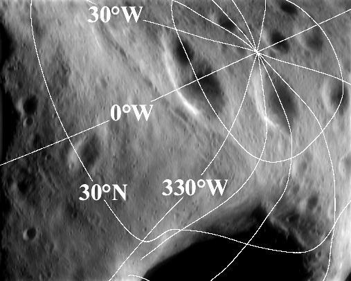
Eros Latitude and Longitude Grid
Impact at High Noon
Impact at High Noon
Two Views of Mathilde
A Streaky Plain
A Streaky Plain
Salt Water Taffy
Salt Water Taffy
Pretty Sharp
Pretty Sharp
Abundance of Very Large Impact Craters on Mathilde
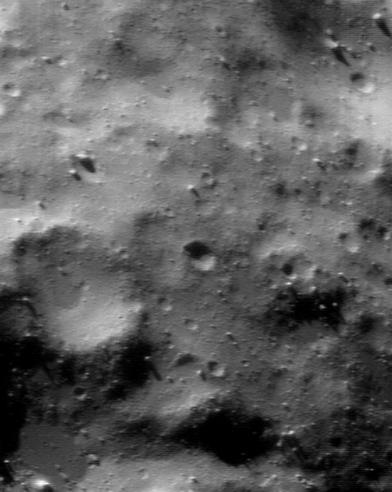
Eros Littered Surface from Low Altitude
Color Mapping the Southern Hemisphere
ErosNorth Pole
ErosNorth Pole
A Swath of Eros
A Swath of Eros
A Different World, Just Over the Hill
First NEAR image of Mathilde
Rocky Hollow Picture Show
A Southern Hemisphere Overview
Eros Battered Surface
The Sculptured Surface of Eros
The South Saddle
The South Saddle
Cratered Terrain on Eros
Sentinels
Sentinels
Mosaic of Eros Northern Hemisphere
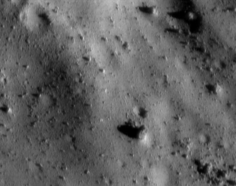
Boulders, Boulders, Boulders
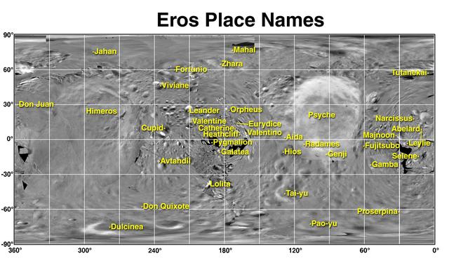
Eros Map and Place Names
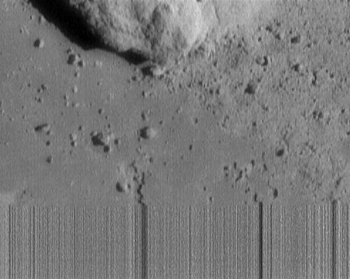
Final Eros Images: Last, Closest Image of Eros
NEAR First Whole-Eros Mosaic from Orbit
Down Slippery Slopes
Zebra Saddle
Zebra Saddle
Sunset on Eros
Sunset on Eros
Common Craters Earth and Eros
The Home Stretch Begins
Eros Bland Butterscotch Colors
Under the Saddle
Under the Saddle
Final Eros Images: Range 1,150 meters 3,773 feet
Eros Surface Morphology
Eros Closest Approach Mosaic
The Ups and Downs of Eros
The Color of Regolith
Bright Crater Wall
Bright Crater Wall
Light and Shadow
Light and Shadow
A Trio of Craters on Eros
The View from Low Orbit
Eros Details Enhanced by Computer Processing
Eros North Polar Region
Horizon View
Horizon View
On Eros Slopes
On Eros Slopes
Eros Up Close
Eros Up Close
Eros Color at Higher Resolution
A Road map for Eros
A Road map for Eros
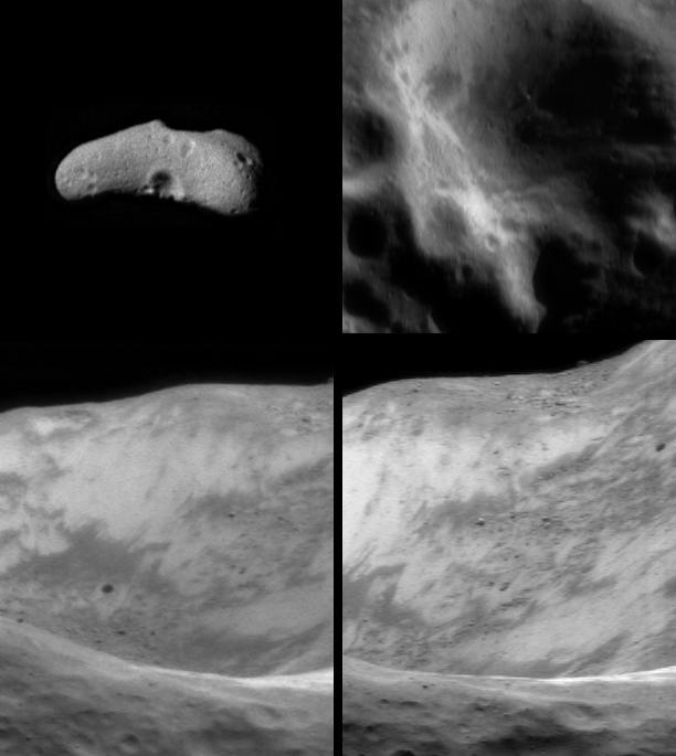
Inside Eros Giant Gouge
Color View of the Saddle
Lowest Altitude Diversity
Closing in on Eros
Closing in on Eros
Final Eros Images: Range 250 meters 820 feet
Eros Image Mosaic, Looking North
Eros Aging Craters
Eros Aging Craters
NEAR Road to Eros
NEAR Road to Eros
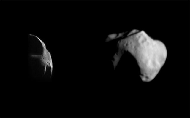
Two Very Different Asteroids
Tracking a Feature on Eros
An Ancient Ridge
An Ancient Ridge
Rim of Saddle Region on Eros
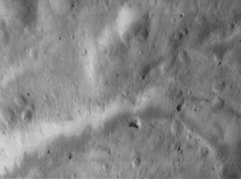
Final Eros Images: Range 700 meters 2,300 feet
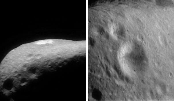
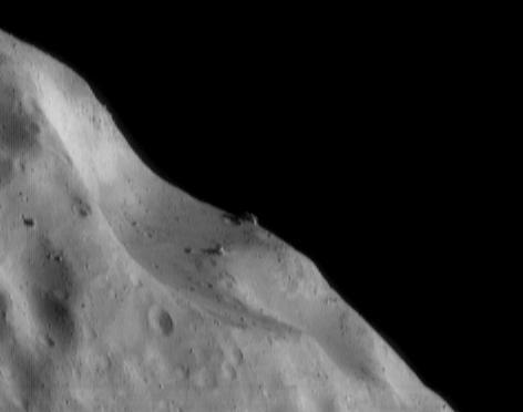
The Ridge at Sunrise
A Smorgasbord of Landforms
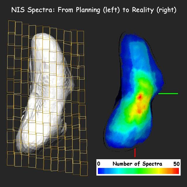
NEAR: From Planning to Data Analysis
The Southern Saddle Mosaic
Packed with Boulders
The Saddle Wall
The Saddle Wall
April Fool Crater
April Fool Crater
The Battering and Debris
Shapes Galore
Shapes Galore