
These images from NASA Mars Odyssey spacecraft show the Becquerel crater in different lights -- visible, daytime infrared and nighttime infrared.

NASA's 2001 Mars Odyssey orbiter arrived at Mars on Oct. 24, 2001. Over the past two decades, the mission has mapped the composition of the Martian surface, providing a window to the past so scientists could piece together how the planet evolved. It has also served as a vital asset in relaying communications between landers and rovers at the Red Planet and the mission teams back on Earth. Here are some of the highlights of the last 20 years: Mars Odyssey has completed 80,000 orbits. Mars Odyssey has taken more than 1.2 million images. Mars Odyssey has returned 16 terabits of total science data to Earth, including 1 terabit of data relayed from Mars surface missions. Mars Odyssey has provided communications relay for six Mars surface missions: the Phoenix and InSight landers, as well as the Spirit, Opportunity, Curiosity, and Perseverance rovers. https://photojournal.jpl.nasa.gov/catalog/PIA24915
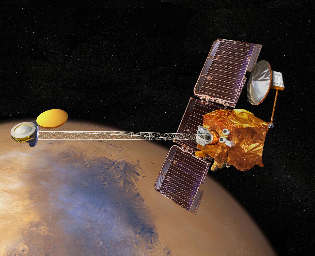
Artist concept of NASA's 2001 Mars Odyssey spacecraft. http://photojournal.jpl.nasa.gov/catalog/PIA04244

These two views of Mars were made with data taken by the neutron spectrometer component of NASA Mars Odyssey spacecraft and show epithermal neutron flux, which is sensitive to the amount of hydrogen present.
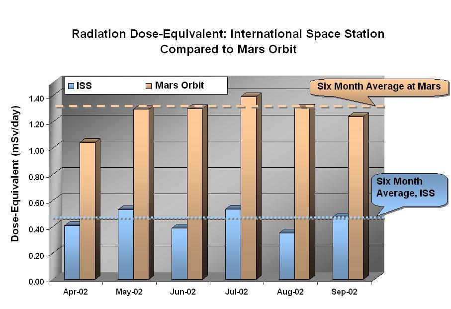
Data from NASA Mars Odyssey spacecraft Martian radiation environment experiment show that the radiation dose equivalent at Mars is two to three times greater than that aboard the International Space Station.
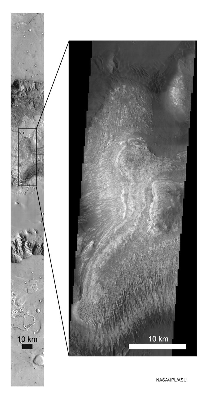
These NASA Mars Odyssey images show layered deposits located on the floor of Ganges Chasma, part of the Valles Marineris canyon system, in both infrared left and visible right wavelengths.
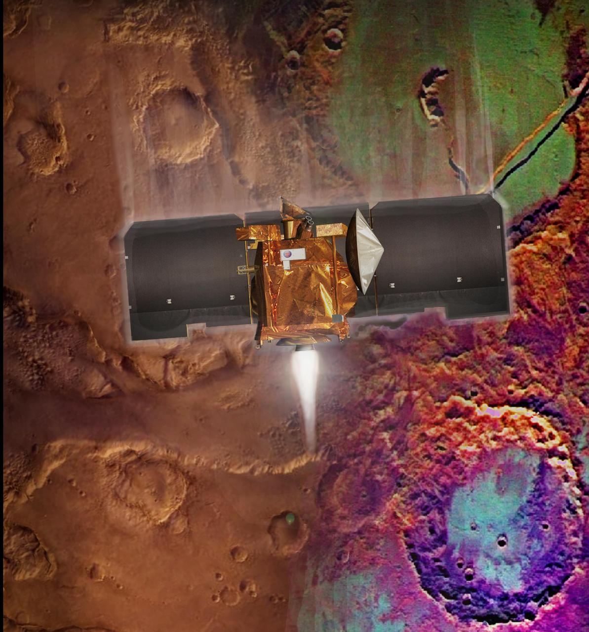
Artist concept of Mars Odyssey orbit insertion. http://photojournal.jpl.nasa.gov/catalog/PIA04246
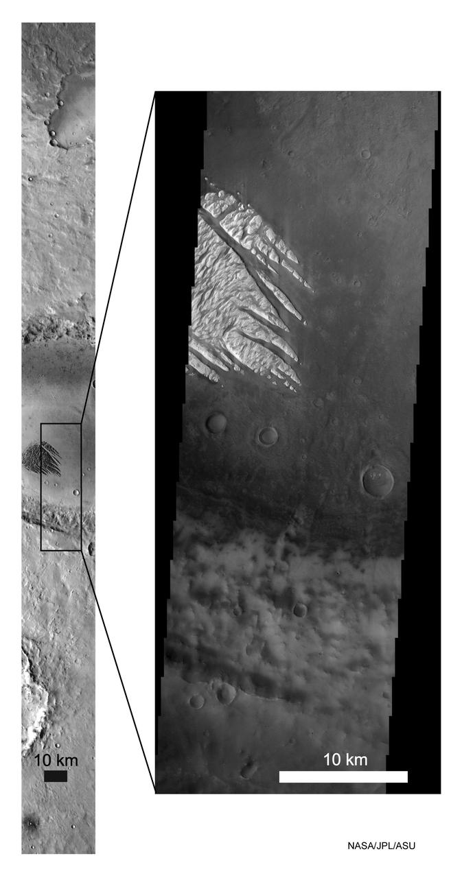
These Mars Odyssey images show the White Rock feature on Mars in both infrared left and visible right wavelengths. White Rock is the unofficial name for this landform that was first observed during NASA Mariner 9 mission in the early 1970.
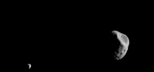
Phobos and Deimos, the moons of Mars, are seen by the Mars Odyssey orbiter's Thermal Emission Imaging System, or THEMIS, camera. The images were taken in visible-wavelength light. THEMIS also recorded thermal-infrared imagery in the same scan. The apparent motion is due to progression of the camera's pointing during the 17-second span of the February 15, 2018, observation, not from motion of the two moons. This was the second observation of Phobos by Mars Odyssey; the first was on September 29, 2017. Researchers have been using THEMIS to examine Mars since early 2002, but the maneuver turning the orbiter around to point the camera at Phobos was developed only recently. The distance to Phobos from Odyssey during the observation was about 3,489 miles (5,615 kilometers). The distance to Deimos from Odyssey during the observation was about 12,222 miles (19,670 kilometers). An animation is available at https://photojournal.jpl.nasa.gov/catalog/PIA22248
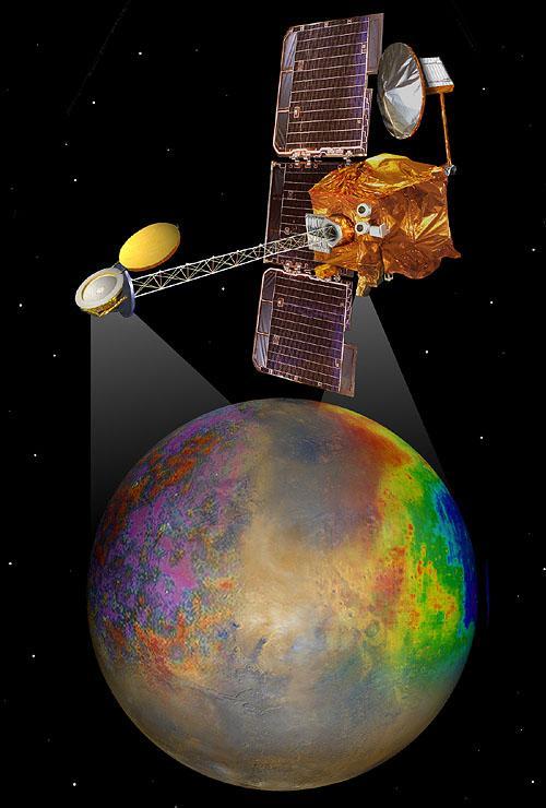
Artist concept of Mars Odyssey mapping mission. http://photojournal.jpl.nasa.gov/catalog/PIA04245

This image is a single frame from a computer animation, which begins with a global view of the planet Mars compiled with images from NASA Mars Odyssey spacecraft.
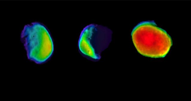
These are three different views of the Martian moon Phobos, as seen by NASA's 2001 Mars Odyssey orbiter using its infrared camera, Thermal Emission Imaging System (THEMIS). Each color represents a different temperature range. https://photojournal.jpl.nasa.gov/catalog/PIA23205
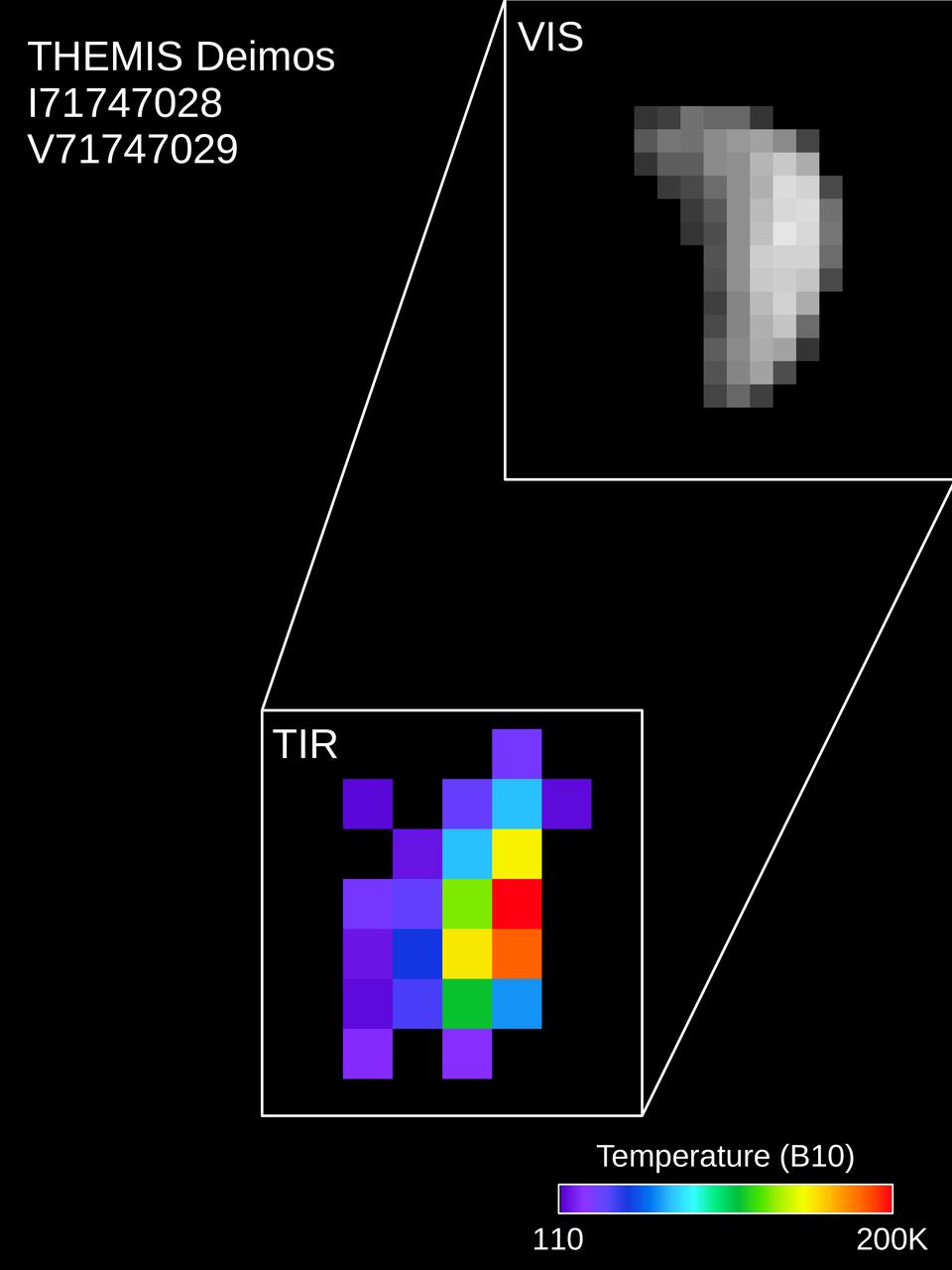
Colors in this image of the Martian moon Deimos indicate a range of surface temperatures detected by observing the moon on February 15, 2018, with the Thermal Emission Imaging System (THEMIS) camera on NASA's Mars Odyssey orbiter. The left edge of the small moon is in darkness, and the right edge in sunlight. Temperature information was derived from thermal-infrared imaging such as the grayscale image shown smaller at lower left with the moon in the same orientation. The color-coding merges information from THEMIS observations made in 10 thermal-infrared wavelength bands. This was the first observation of Deimos by Mars Odyssey; the spacecraft first imaged Mars' other moon, Phobos, on September 29, 2017. Researchers have been using THEMIS to examine Mars since early 2002, but the maneuver turning the orbiter around to point the camera at Phobos was developed only recently. https://photojournal.jpl.nasa.gov/catalog/PIA22250

Colors in this image of the Martian moon Phobos indicate a range of surface temperatures detected by observing the moon on February 15, 2018, with the Thermal Emission Imaging System (THEMIS) camera on NASA's Mars Odyssey orbiter. The left edge of the small moon is in darkness, and the right edge in sunlight. Phobos has an oblong shape with average diameter of about 14 miles (22 kilometers). Temperature information was derived from thermal-infrared imaging such as the grayscale image shown smaller at lower left with the moon in the same orientation. The color-coding merges information from THEMIS observations made in 10 thermal-infrared wavelength bands. This was the second observation of Phobos by Mars Odyssey; the first was on September 29, 2017. Researchers have been using THEMIS to examine Mars since early 2002, but the maneuver turning the orbiter around to point the camera at Phobos was developed only recently. https://photojournal.jpl.nasa.gov/catalog/PIA22249
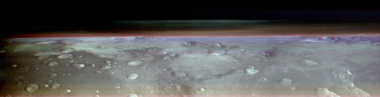
This view of Mars was captured by NASA's Odyssey orbiter using its Thermal Emission Imaging System, or THEMIS, camera. This image is a false color composite, made by combining three channels of infrared data that highlight water-ice clouds and dust in the atmosphere. This panorama was one of 10 captured on May 9, 2023, from an altitude of roughly 250 miles (400 kilometers) above the Martian surface – about the same altitude at which the International Space Station flies over Earth. The 10 panoramas of the Martian horizon were taken to capture a one-of-a-kind view of the Martian atmosphere as Odyssey circled the planet during its two-hour orbit. The reason why the view is so uncommon is because of the challenges involved in creating it. Engineers at NASA's Jet Propulsion Laboratory in Southern California (which leads the Odyssey mission) and Lockheed Martin Space (which built Odyssey and co-leads day-to-day operations) spent three months planning the observations. THEMIS' sensitivity to warmth enables it to map ice, rock, sand, and dust, along with temperature changes, on the planet's surface. It can also measure how much water ice or dust is in the atmosphere, but only in a narrow column directly below the spacecraft. That's because THEMIS is fixed in place on the orbiter; it usually points straight down. Mission scientists wanted a more expansive view of the atmosphere. Seeing where those layers of water-ice clouds and dust are in relation to each other – whether there's one layer or several stacked on top of each other – helps them improve models of Mars' atmosphere. Because THEMIS can't pivot, adjusting the angle of the camera requires adjusting the position of the whole spacecraft. In this case, the team needed to rotate the orbiter almost 90 degrees while making sure the Sun would still shine on the spacecraft's solar panels but not on sensitive equipment that could overheat. The easiest orientation turned out to be one where the orbiter's antenna pointed away from Earth. That meant the team was out of communication with Odyssey for several hours until the operation was completed. https://photojournal.jpl.nasa.gov/catalog/PIA26203
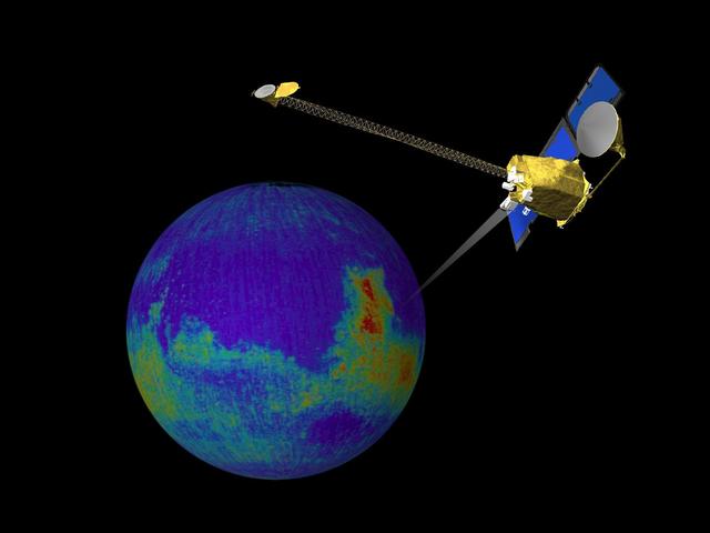
This image is a single frame from a computer animation, which begins with a global view of the planet Mars created from images by NASA Mars Odyssey. Color is used to emphasize the Martian topographic, andesite, and basalt compositional differences.

NASA Mars Odyssey spacecraft took this portrait of the Earth and its companion Moon. It was taken at a distance of 3,563,735 kilometers more than 2 million miles on April 19, 2001 as the 2001 Mars Odyssey spacecraft left the Earth.

NASA's 2001 Mars Odyssey orbiter captured this single image of Olympus Mons, the tallest volcano in the solar system, on March 11, 2024. Besides providing an unprecedented view of the volcano, the image helps scientists study different layers of material in the Martian atmosphere, including clouds and dust. The panorama was created by rotating Odyssey so that its camera, the Thermal Emission Imaging System (THEMIS), faced the horizon of Mars as the orbiter soared past. This shot was among several taken in the latest effort by Odyssey using this technique; capturing this sort of horizon imagery at different times of year allows scientists to study how the atmosphere changes over seasons. The bluish-white band at the bottom of the atmosphere hints at how much dust was present when the image was captured during Mars' dust season. A purplish layer follows, likely due to a mixture of Mars' red dust with some bluish water-ice clouds. Finally, a blue-green layer can be seen where water-ice clouds reach up about 31 miles (50 kilometers) into the sky. https://photojournal.jpl.nasa.gov/catalog/PIA26305

This movie shows the Martian moon Phobos as viewed in visible light by NASA's 2001 Mars Odyssey orbiter on April 24, 2019. It was put together from 19 images taken 1 second apart by Odyssey's infrared camera, Thermal Emission Imaging System (THEMIS). The apparent motion is due to progression of the camera's pointing during the observation. This was the third observation of Phobos by Mars Odyssey. While displayed here in visible-wavelength light, THEMIS also recorded thermal-infrared imagery in the same scan. The distance to Phobos from Odyssey during the observation was about 5,692 miles (9,160 kilometers). Movie available at https://photojournal.jpl.nasa.gov/catalog/PIA23207

NASA 2001 Mars Odyssey Thermal Emission Imaging System THEMIS acquired these images of the Earth using its visible and infrared cameras as it left the Earth.
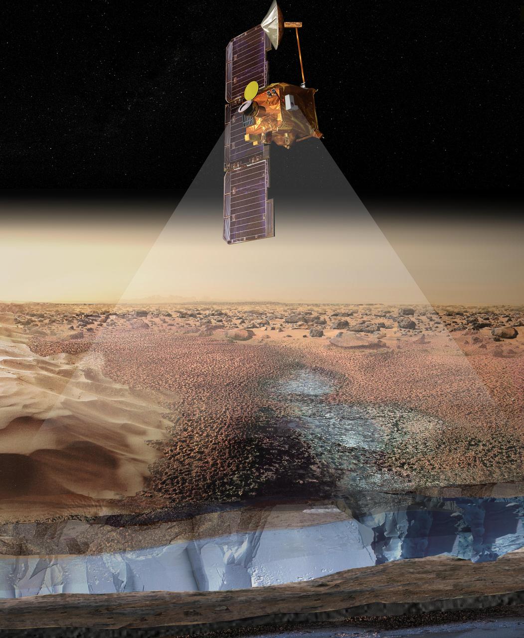
This artist rendering portrays ice-rich layers in the soils of Mars being detected by instruments aboard NASA 2001 Mars Odyssey spacecraft.
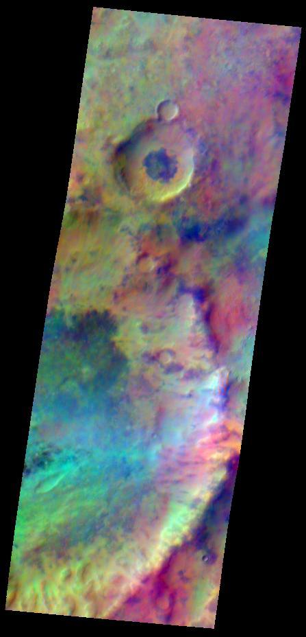
Pastel colors swirl across Mars, revealing differences in the composition and nature of the surface in this false-color infrared image taken on May 22, 2009,by the Thermal Emission Imaging System THEMIS camera on NASA Mars Odyssey orbiter.
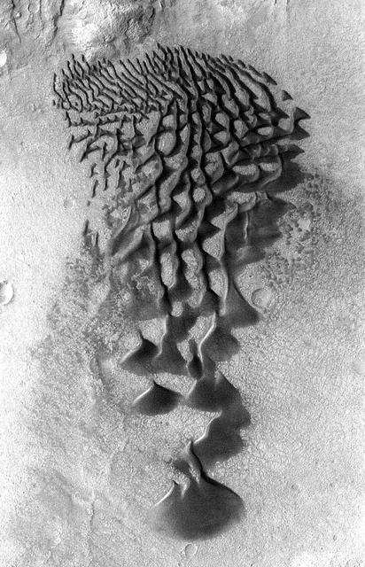
Fans and ribbons of dark sand dunes creep across the floor of Bunge Crater in response to winds blowing from the direction at the top of the picture. This image is from NASA Mars Odyssey, one of an All Star set.
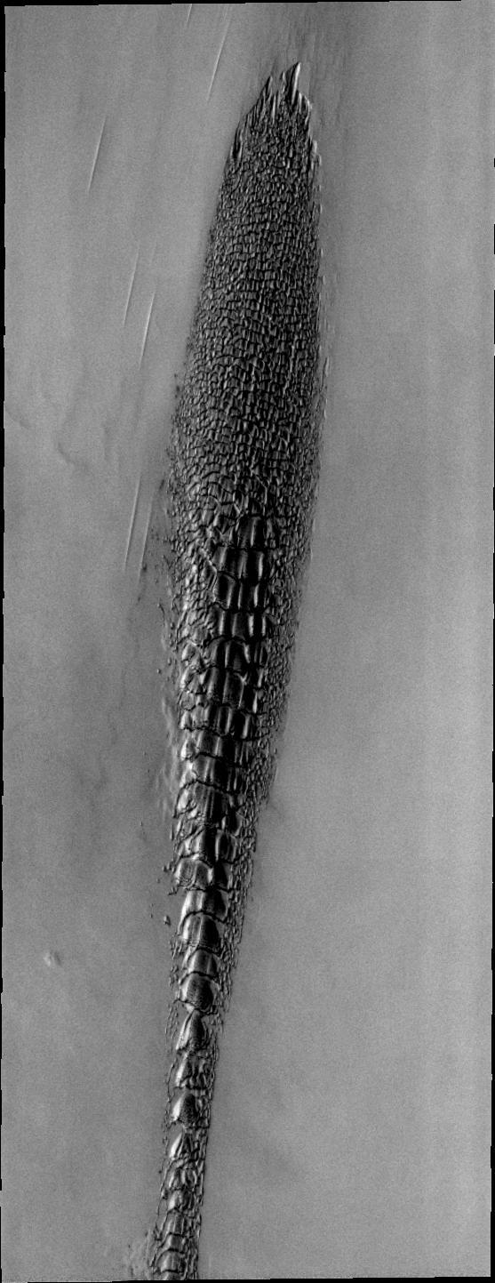
Although this may look like a hostile alien life form, it actually a complex line of sand dunes near the northern ice cap of Mars. This image is from NASA Mars Odyssey, one of an All Star set.
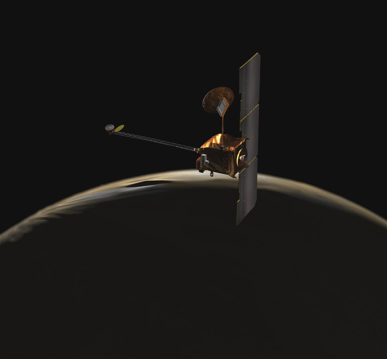
NASA Mars Odyssey spacecraft passes above Mars south pole in this artist concept illustration. The spacecraft has been orbiting Mars since October 24, 2001.
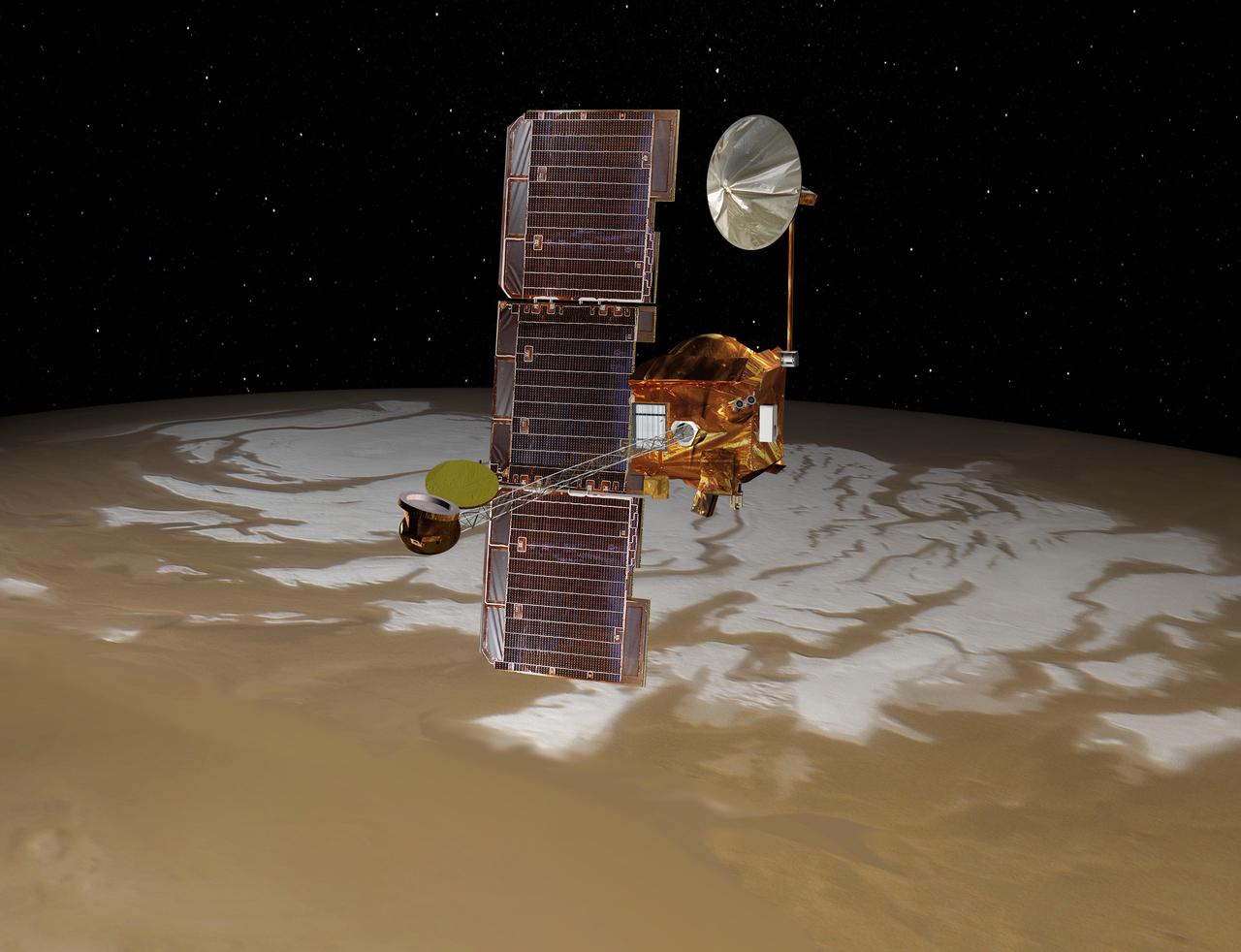
NASA Mars Odyssey spacecraft passes above Mars south pole in this artist concept illustration. The spacecraft has been orbiting Mars since October 24, 2001.
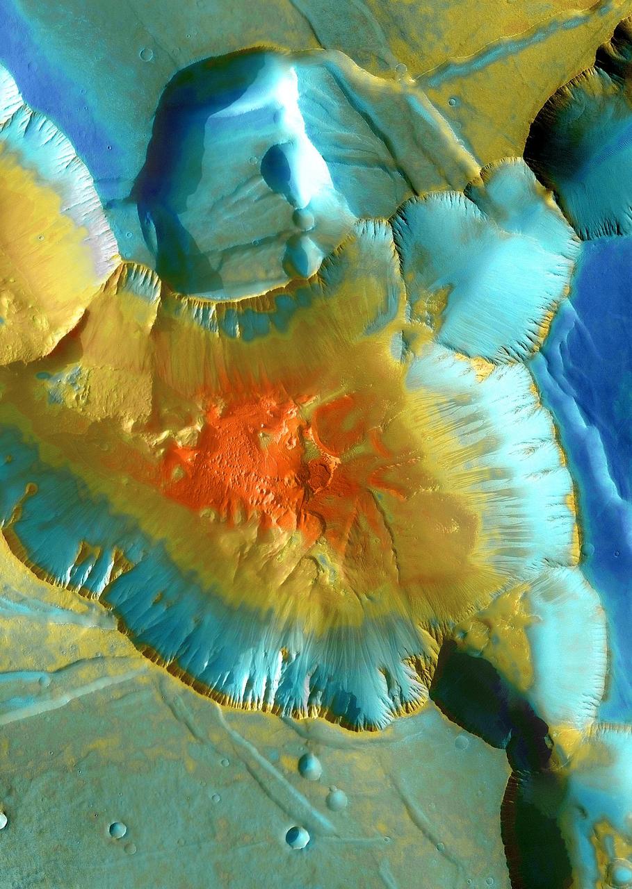
This false-color mosaic focuses on one junction in Noctis Labyrinthus where canyons meet to form a depression 4,000 meters 13,000 feet deep. This image is from NASA Mars Odyssey, one of an All Star set.
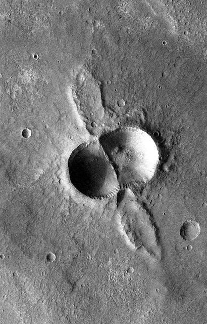
If a meteorite breaks in two shortly before hitting the ground, the typical bowl shape of a single impact crater becomes doubled. This image is from NASA Mars Odyssey, one of an All Star set.

Chasma Boreale is a long, flat-floored valley that cuts deep into Mars north polar icecap. This image is part of an All Star set marking the occasion of NASA Mars Odyssey as the longest-working Mars spacecraft in history.
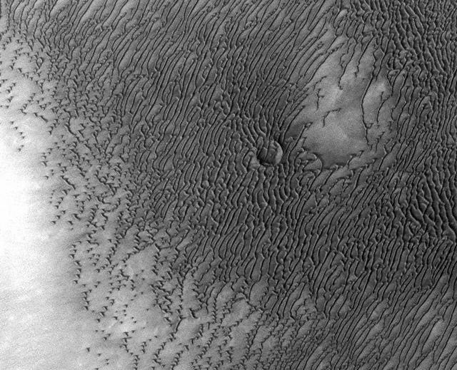
A vast dune field lies near the northern polar cap of Mars. Seen here in summer, the dunes have partially buried an impact crater about 1,000 3,300 feet wide. This image is from NASA Mars Odyssey.
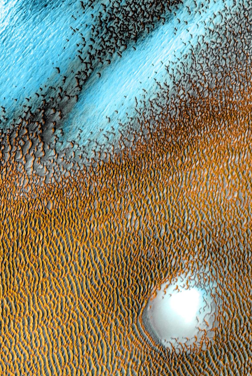
A sea of dark dunes, sculpted by the wind into long lines, surrounds the northern polar cap covering an area as big as Texas in this false-color image from NASA Mars Odyssey, the longest-working Mars spacecraft in history.
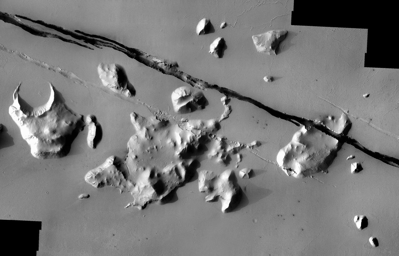
Geological faulting has opened cracks in the Cerberus region that slice through flat plains and mesas alike. This image is part of an All Star set marking the occasion of NASA Mars Odyssey as the longest-working Mars spacecraft in history.
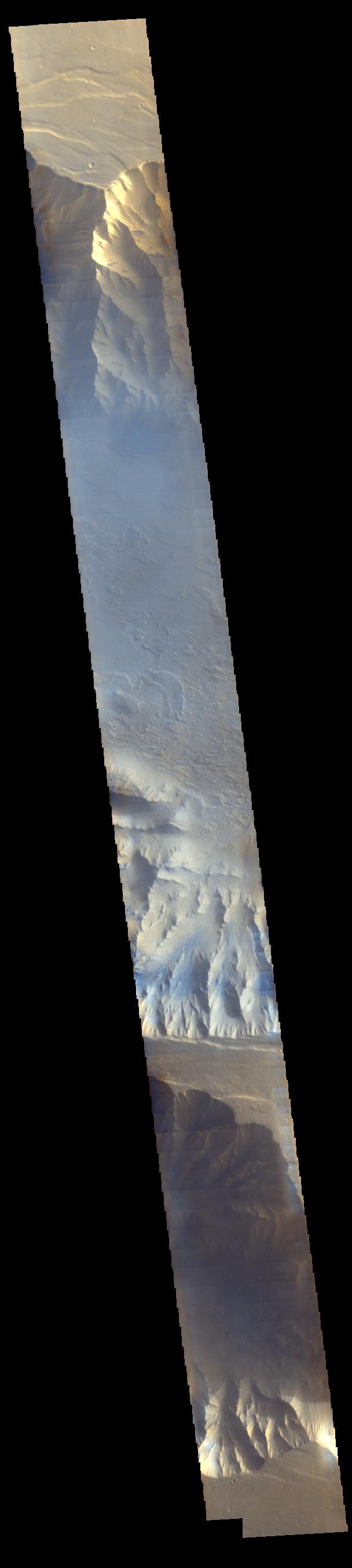
Light blue clouds fill Coprates Chasma on Mars, part of Valles Marineris, the vast Grand Canyon of Mars. The clouds are mostly ice crystals and they appear blue in color in this image from NASA Mars Odyssey.
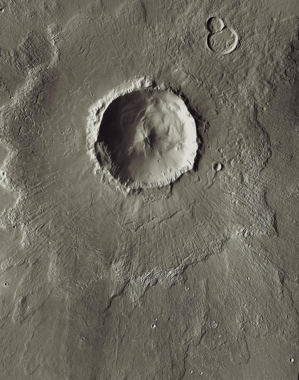
Bacolor Crater is a magnificent impact feature about 20 kilometers 12 miles wide. This image is part of an All Star set marking the occasion of NASA Mars Odyssey as the longest-working Mars spacecraft in history.
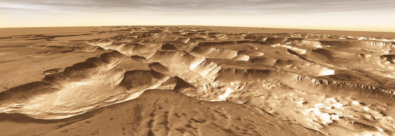
West of Valles Marineris lies a checkerboard named Noctis Labyrinthus, which formed when the Martian crust stretched and fractured. This image is from NASA Mars Odyssey, one of an All Star set.

This image of Phobos is one product of the first pointing at that Martian moon by the Thermal Emission Imaging System (THEMIS) camera on NASA's Mars Odyssey orbiter. The Sept. 29, 2017, observation also provided information about temperatures on different areas of Phobos. Researchers have been using THEMIS to examine Mars since early 2002, but the maneuver turning the orbiter around to point the camera at Phobos was developed only recently. Phobos has an oblong shape with average diameter of about 14 miles (22 kilometers). Odyssey orbits Mars at an altitude of about 250 miles (400 kilometers), much closer to the planet than to Phobos, which orbits about 3,700 miles (6,000 kilometers) above the surface of Mars. The distance to Phobos from Odyssey during this observation was about 3,424 miles (5,511 kilometers). https://photojournal.jpl.nasa.gov/catalog/PIA22056
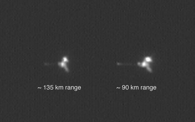
NASA Mars Odyssey spacecraft appears twice in the same frame in this image from the Mars Orbiter Camera aboard NASA Mars Global Surveyor.
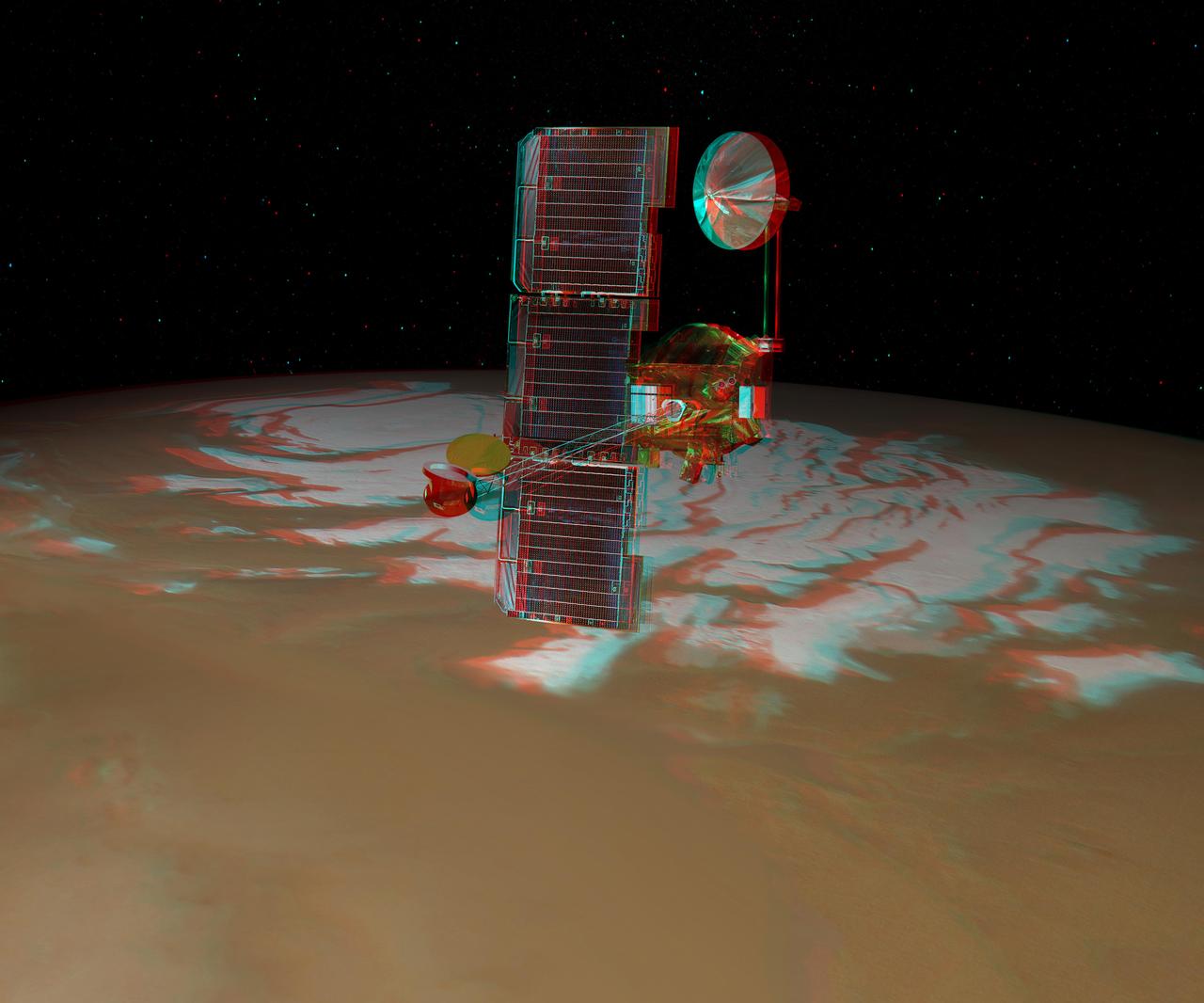
NASA Mars Odyssey spacecraft passes above Mars south pole in this artist concept illustration. 3D glasses are necessary to view this image.
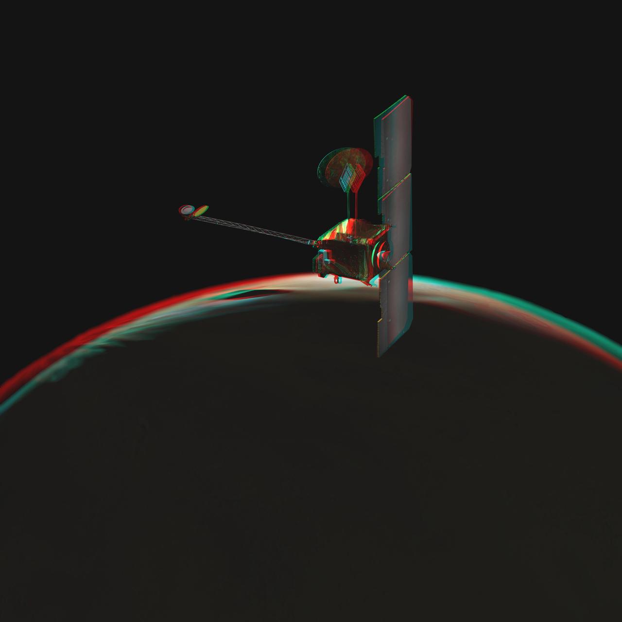
NASA Mars Odyssey spacecraft passes above a portion of the planet that is rotating into the sunlight in this artist concept illustration. 3D glasses are necessary to view this image.
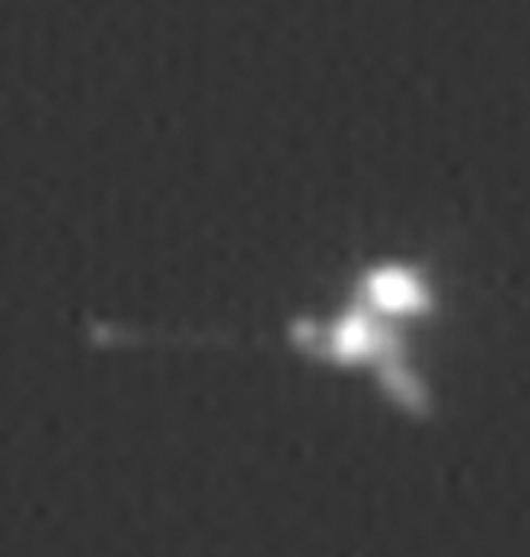
This view is an enlargement of an image of NASA Mars Odyssey spacecraft taken by the Mars Orbiter Camera aboard NASA Mars Global Surveyor while the two spacecraft were about 90 kilometers 56 miles apart.
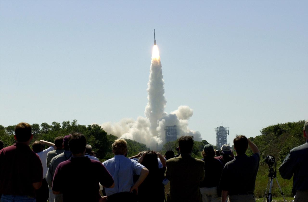
At 11:02 a.m. EDT on April 7, 2001, crowds watch a Boeing Delta II rocket lift off from Cape Canaveral Air Force Station, Florida, carrying NASA 2001 Mars Odyssey spacecraft into space on its seven-month journey to Mars.
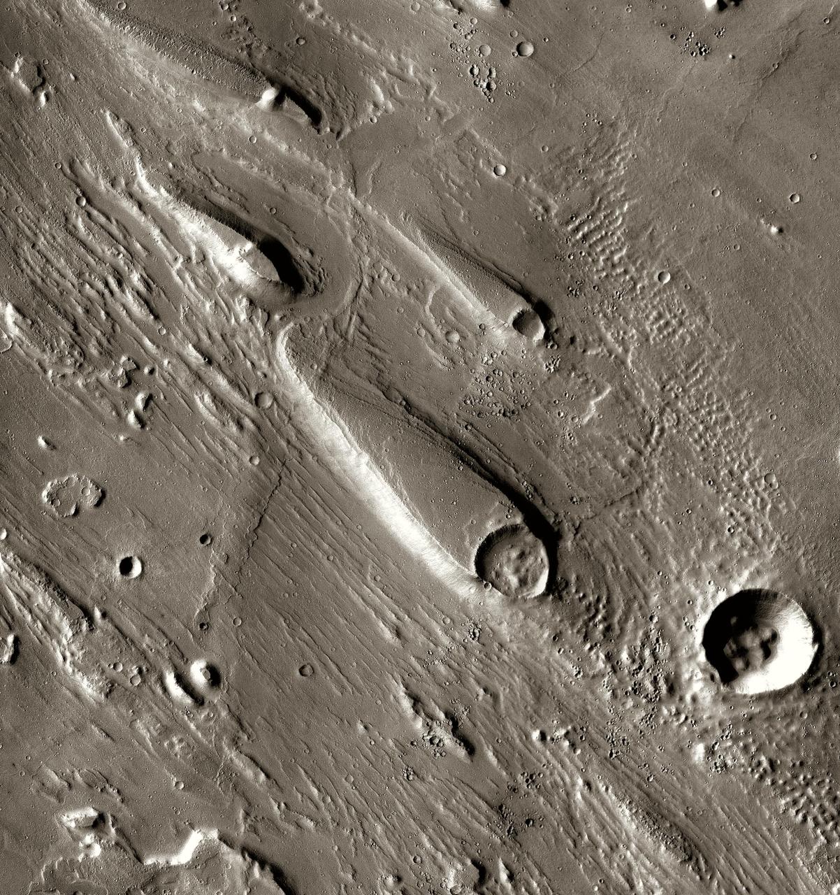
In Ares Vallis, teardrop mesas extend like pennants behind impact craters, where the raised rocky rims diverted the floods and protected the ground from erosion. This image is from NASA Mars Odyssey, one of an All Star set.
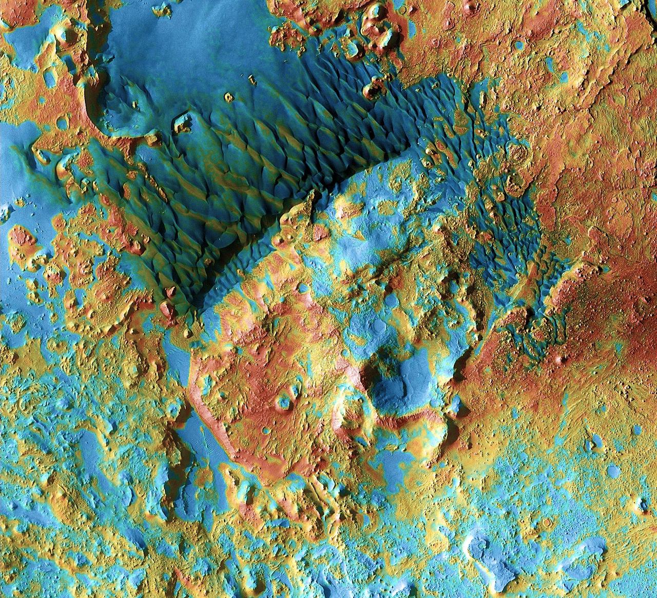
Sand dunes shaped like blue-black flames lie next to a central hill within an unnamed crater in eastern Arabia on Mars. This image is part of an All Star set marking the occasion of NASA Mars Odyssey as the longest-working Mars spacecraft in history.
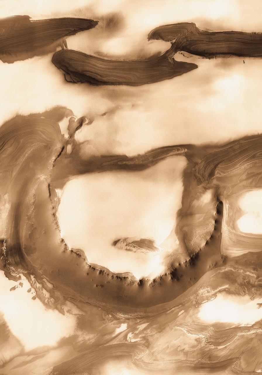
Although it is 45 kilometers 28 miles wide, countless layers of ice and dust have all but buried Udzha Crater. Udzha lies near the edge of the northern polar cap. This image is from NASA Mars Odyssey, one of an All Star set.

These six views of the Martian moon Phobos were captured by NASA's Odyssey orbiter as of March 2020. The orbiter's infrared camera, the Thermal Emission Imaging System (THEMIS), is used to measure temperature variations that provide insight into the physical properties and composition of the moon. Chronologically, the views represent waxing, waning and full views of the moon. On Feb. 25, 2020, Phobos was observed during a lunar eclipse, where Mars' shadow completely blocked sunlight from reaching the moon's surface. This provided some of the coldest temperatures measured on Phobos to date: The coldest measured was about minus189 degrees Fahrenheit (minus123 degrees Celsius). On March 27, 2020, Phobos was observed exiting an eclipse, when the surface was still warming up. All of the THEMIS infrared images are colorized and overlain on THEMIS visible images taken at the same time, except for the eclipse image, which is overlain on a computer-generated visible image of what Phobos would have looked like if it wasn’t in complete shadow. Phobos is about 15 miles (about 25 kilometers) across. https://photojournal.jpl.nasa.gov/catalog/PIA23893
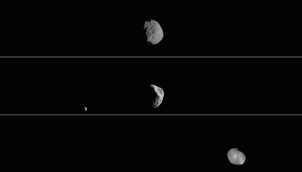
This movie shows three views of the Martian moon Phobos as viewed in visible light by NASA's 2001 Mars Odyssey orbiter. The apparent motion is due to movement by Odyssey's infrared camera, Thermal Emission Imaging System (THEMIS), rather than movement by the moon. Each of the three panels is a series of images taken on different dates (from top to bottom): Sept. 29, 2017; Feb. 15, 2018; and April 24, 2019. Deimos, Mars' other moon, can also be seen in the second panel. While displayed here in visible-wavelength light, THEMIS also recorded thermal-infrared imagery in the same scan. Movie available at https://photojournal.jpl.nasa.gov/catalog/PIA23208
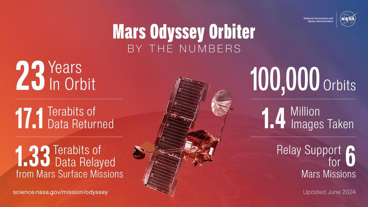
Since arriving at Mars on Oct. 24, 2001, NASA's 2001 Mars Odyssey orbiter has mapped the composition of the Martian surface, providing a window onto the past so scientists can use that data to piece together how the planet evolved. It has also served as a vital asset in relaying communications between landers and rovers on the Red Planet and mission teams back on Earth. Here are some of the highlights of the mission: Completed 100,000 orbits Captured more than 1.4 million images Returned 17.2 terabits of science data to Earth, including 1.3 terabits of data relayed from Mars surface missions Provided communications relay for six Mars surface missions: The Phoenix and InSight landers, and the Spirit, Opportunity, Curiosity, and Perseverance rovers https://photojournal.jpl.nasa.gov/catalog/PIA26361
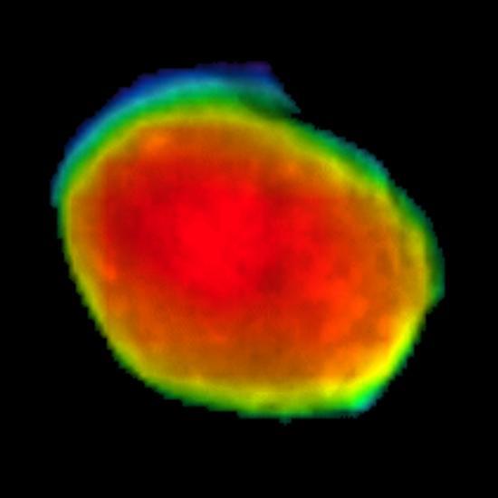
Taken on April 24, 2019, this rainbow-colored image shows the Martian moon Phobos, as viewed by NASA's 2001 Mars Odyssey orbiter using its infrared camera, Thermal Emission Imaging System (THEMIS). Each color represents a different temperature range, with the warmest in the center and coolest on the outer edge. This was the first time THEMIS was used to observe Phobos while in a full moon phase, which offers scientists a much better view for studying the composition of the Martian moon. Previous half-moon views, which can be seen here, were better for studying surface textures. https://photojournal.jpl.nasa.gov/catalog/PIA23204
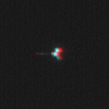
This stereoscopic picture of NASA Mars Odyssey spacecraft was created from two views of that spacecraft taken by the Mars Orbiter Camera on NASA Mars Global Surveyor. 3D glasses are necessary to view this image.
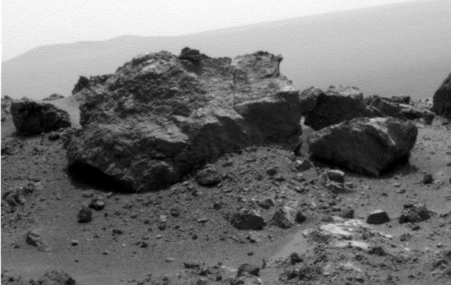
This view from NASA Mars Exploration Rover Opportunit is dominated by a rock informally named Ridout on the northeastern rim of Odyssey. The rock is roughly the same size as the rover, 4.9 feet 1.5 meters long.
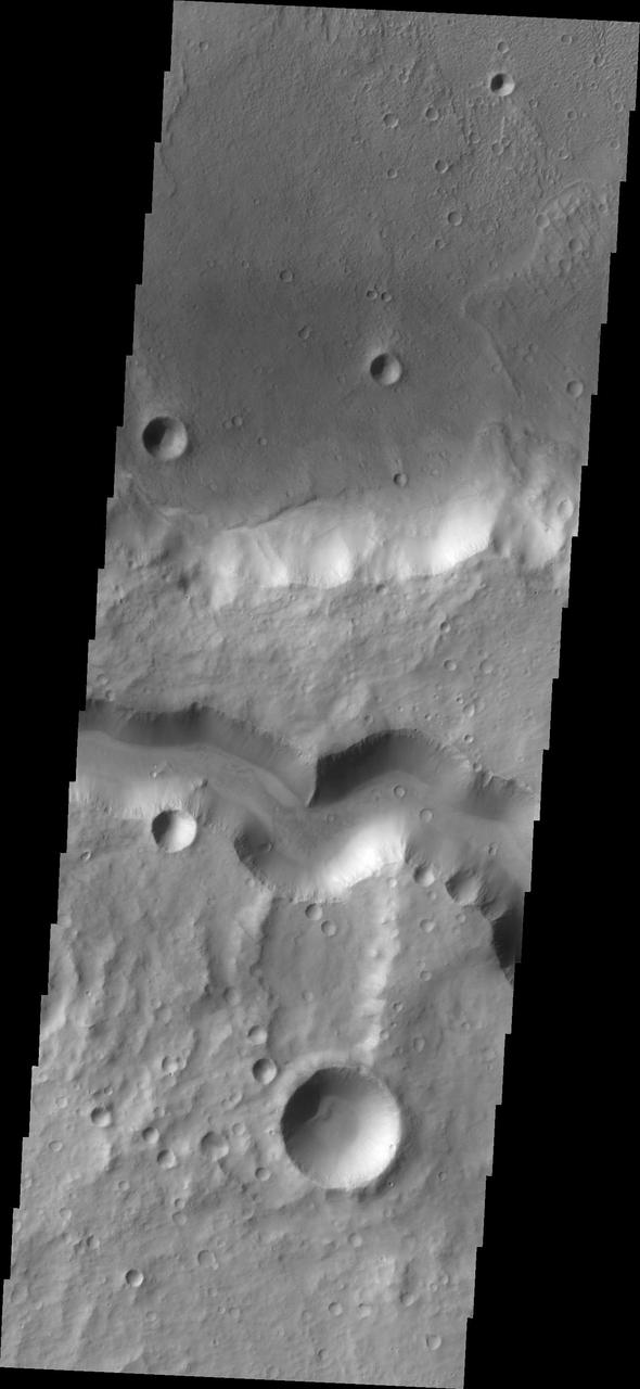
The wide channel in this image captured by NASA Mars Odyssey is Tinto Vallis.
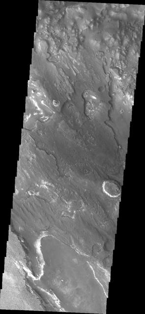
This image captured by NASA 2001 Mars Odyssey shows a portion of Aram Chaos.
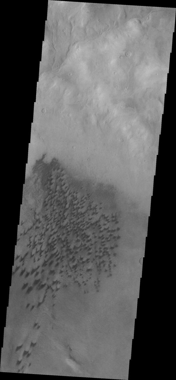
The dunes in this image from NASA Mars Odyssey are located on the floor of Arkhangelsky Crater.
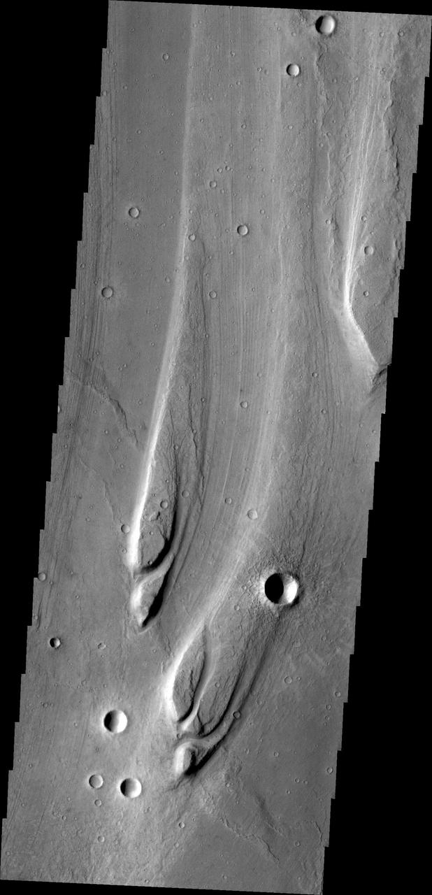
The streamlined islands in this image from NASA Mars Odyssey are located in Maja Valles.
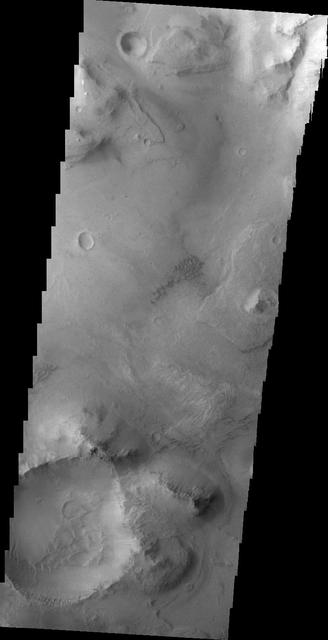
This NASA 2001 Mars Odyssey image shows part of the floor of Coprates Chasma.
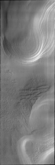
This image captured by NASA Mars Odyssey shows layering in the south polar cap.
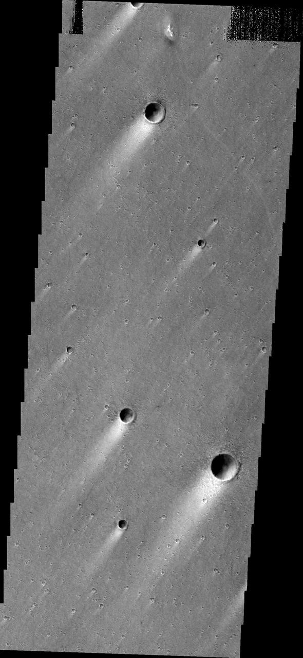
Windstreaks located in Chryse Planitia as seen by NASA 2001 Mars Odyssey spacecraft.
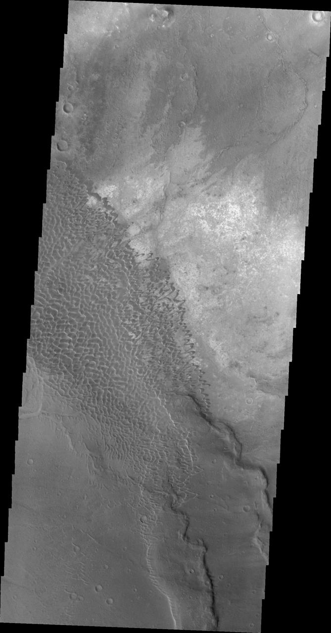
This 2001 Mars Odyssey image shows the dune field in Nili Patera.
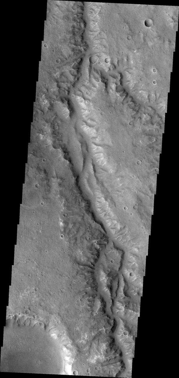
This image from NASA Mars Odyssey is of an unnamed channel in Margaritifer Terra.
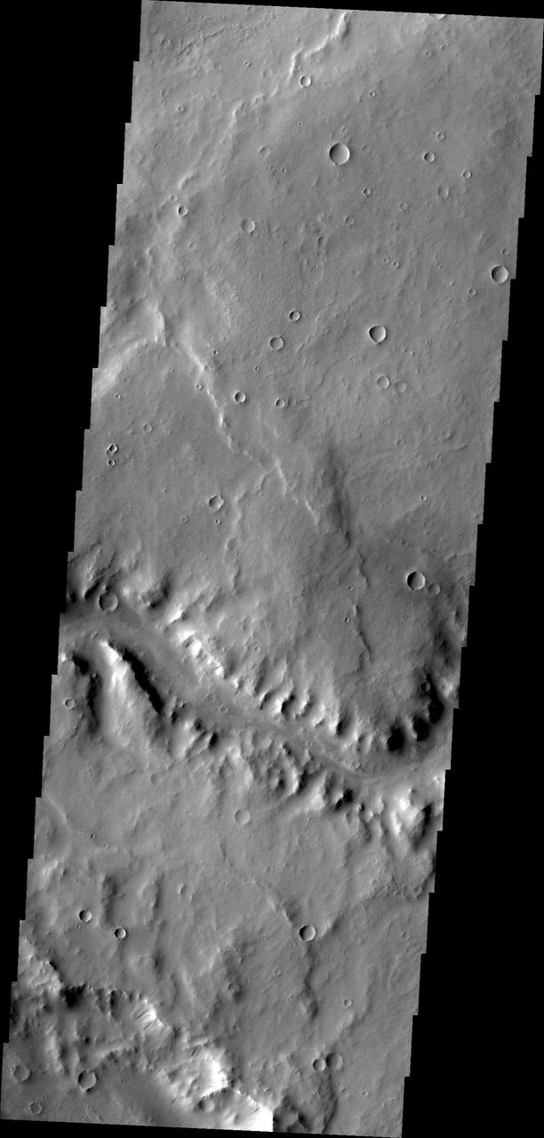
This image from NASA Mars Odyssey shows a short section of Naktong Vallis.
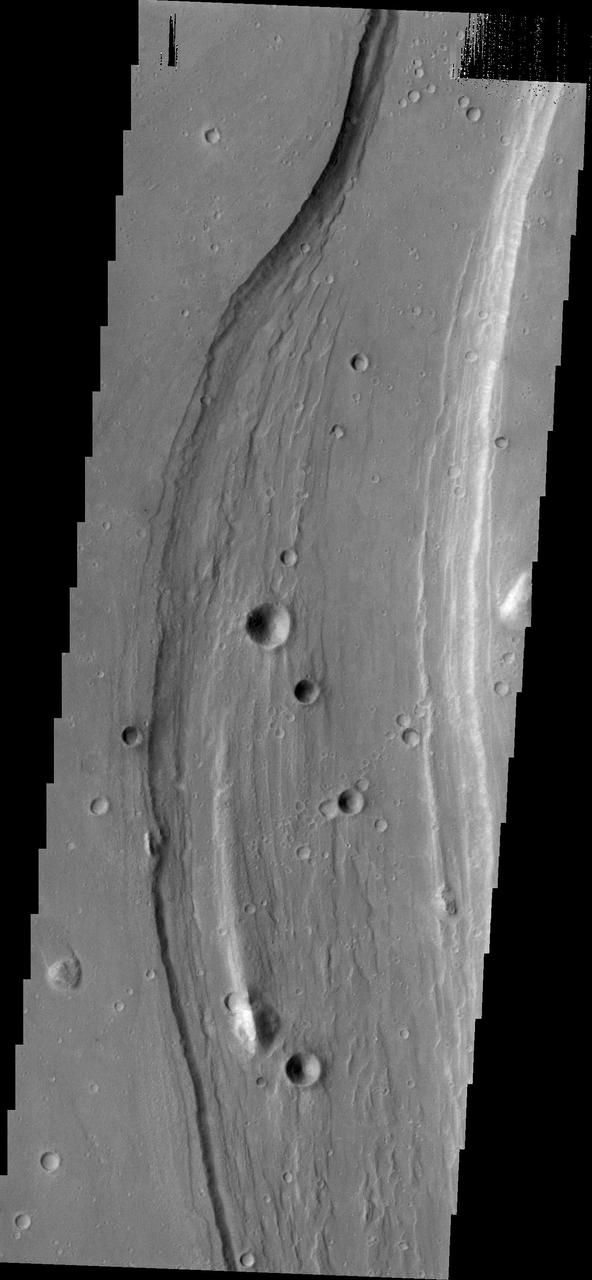
Shalbatana Vallis dominates this image captured by NASA 2001 Mars Odyssey spacecraft.
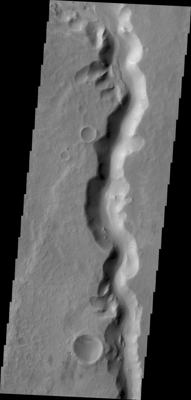
This image from NASA 2001 Mars Odyssey shows a section of Sabis Vallis.
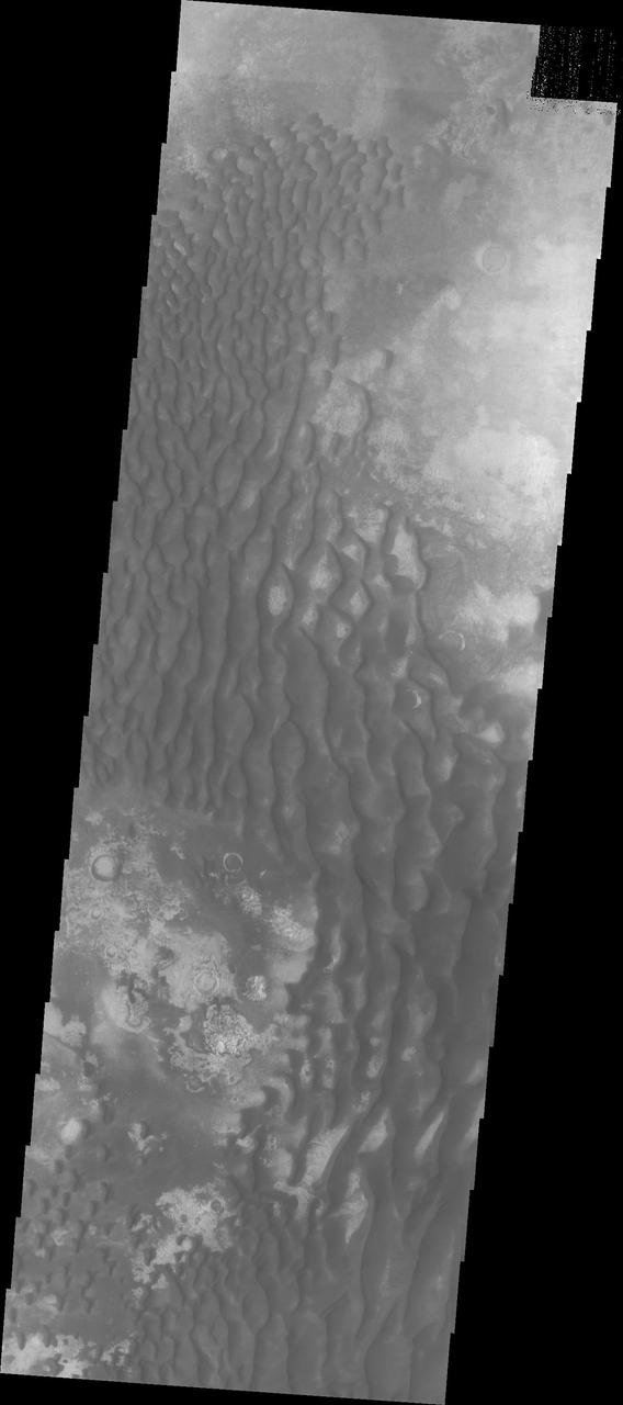
The dunes in this image captured by NASA Mars Odyssey are located on the floor of Kaiser Crater.
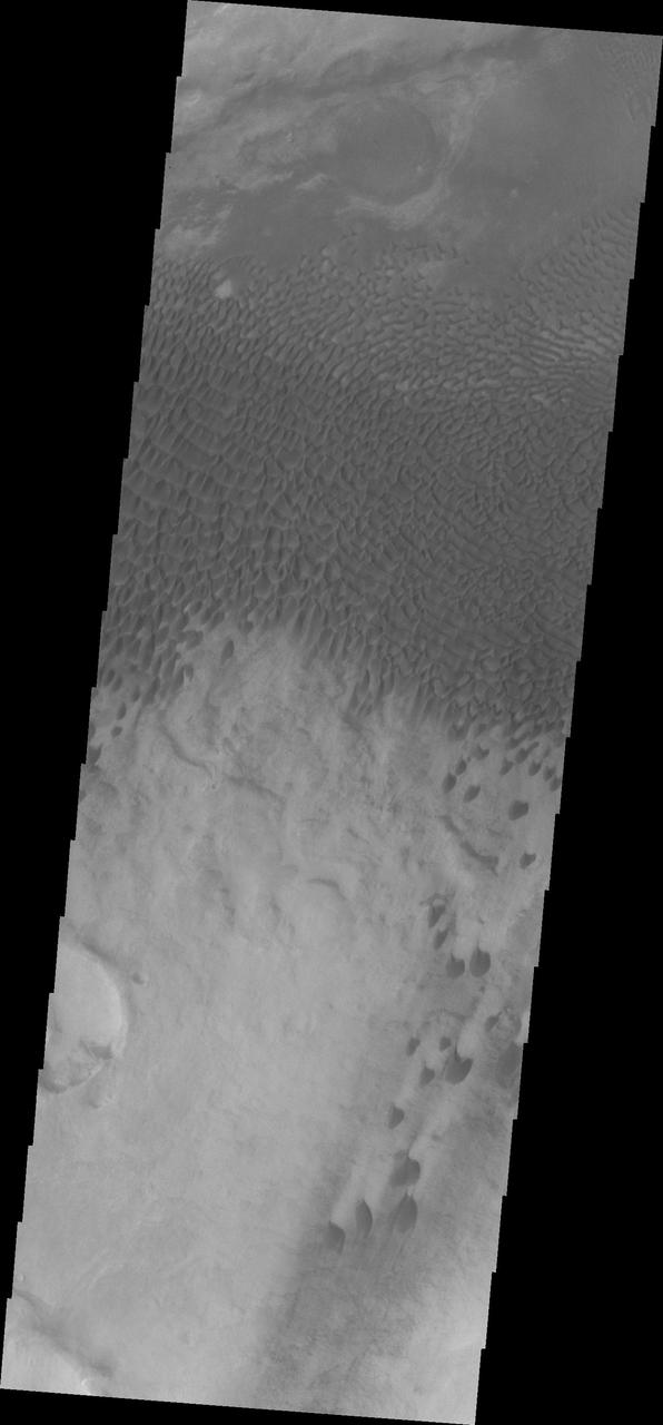
NASA Mars Odyssey spacecraft captured this image of dunes located in Aonia Terra.
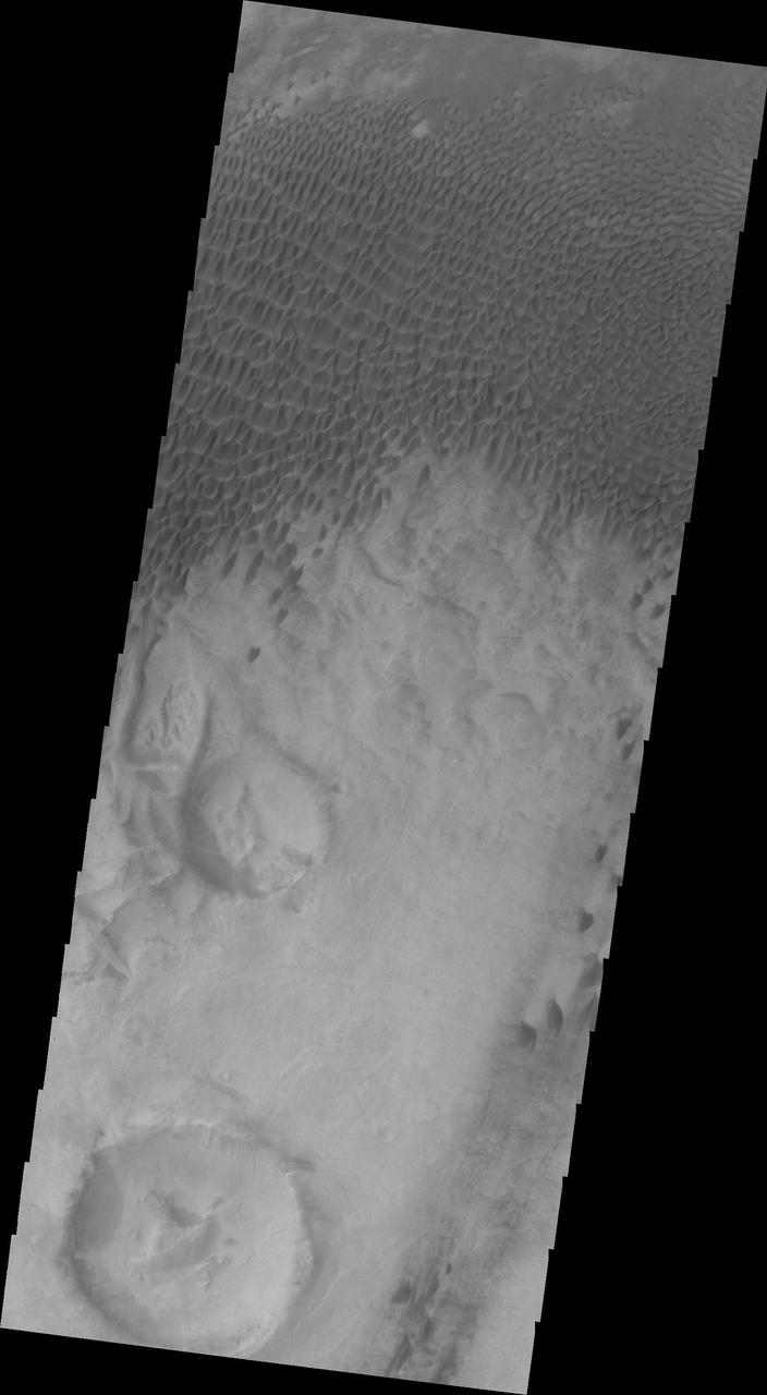
This 2001 Mars Odyssey image shows dunes in Aonia Terra.

This image captured by NASA 2001 Mars Odyssey spacecraft spans Candor Chasma.
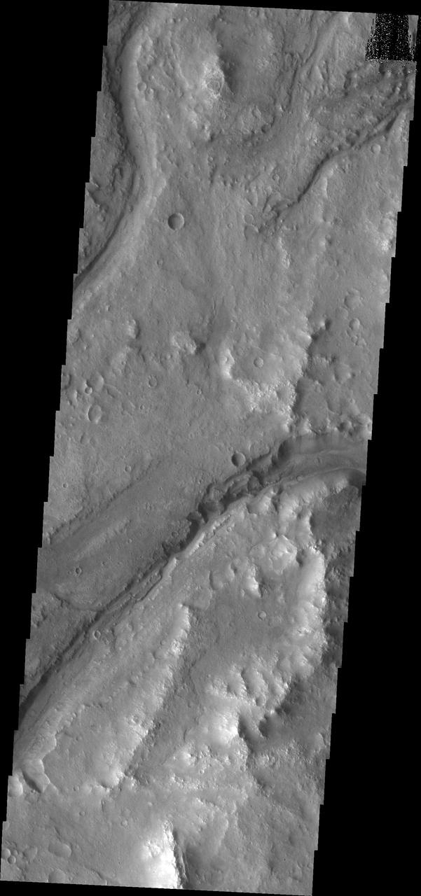
Maumee Valles is the main channel visible in this image captured by NASA Mars Odyssey.
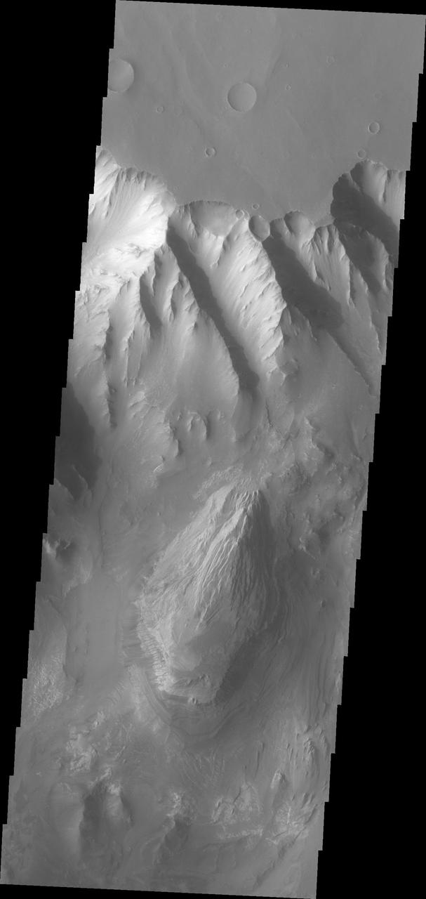
This image from NASA Mars Odyssey shows the northern sidewall of Melas Chasma.
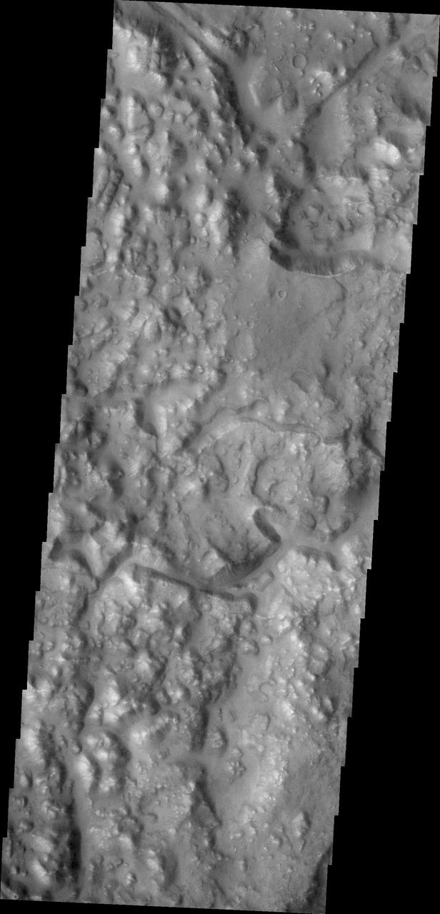
This image captured by NASA 2001 Mars Odyssey shows a portion of Iani Chaos.
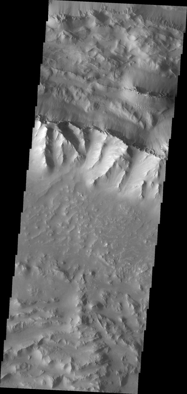
This image captured by NASA Mars Odyssey shows a portion of Coprates Chasma.
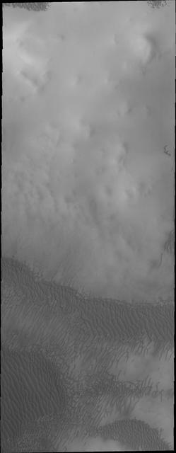
The dunes in this image captured by NASA Mars Odyssey are near the north polar cap.
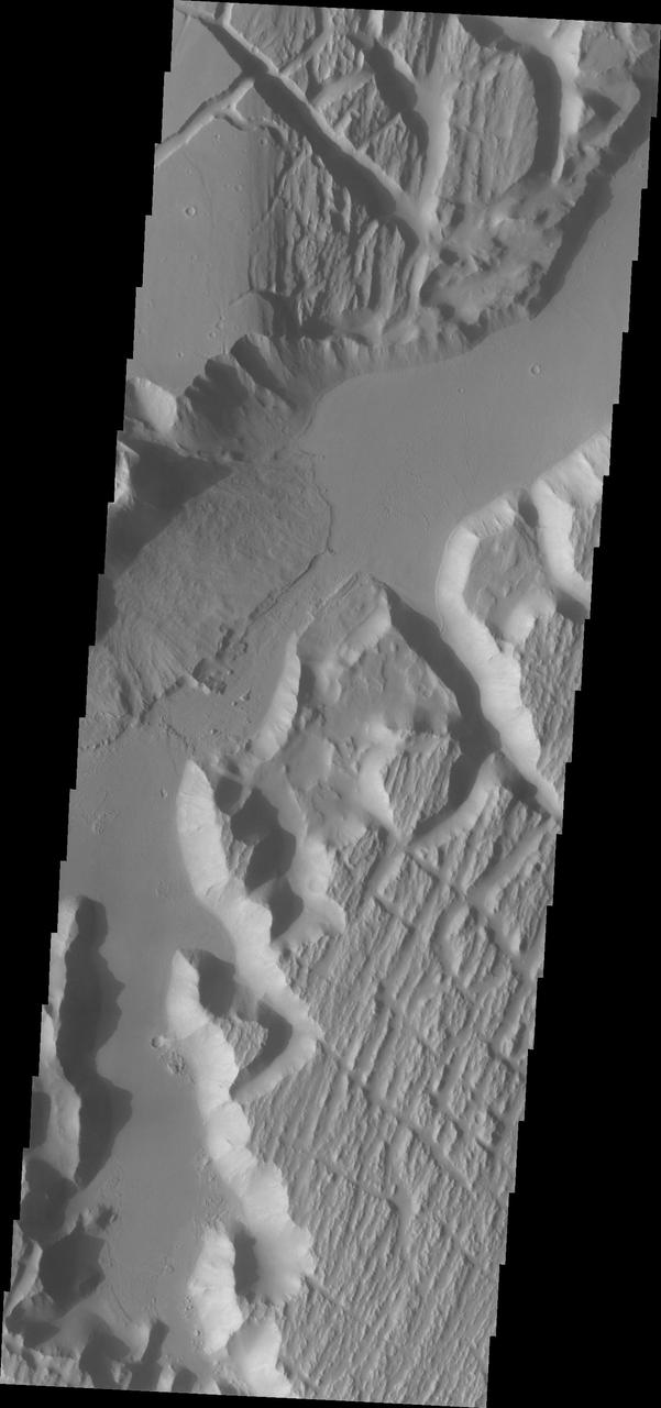
This image captured by NASA Mars Odyssey shows the southwestern part of Kasei Valles.
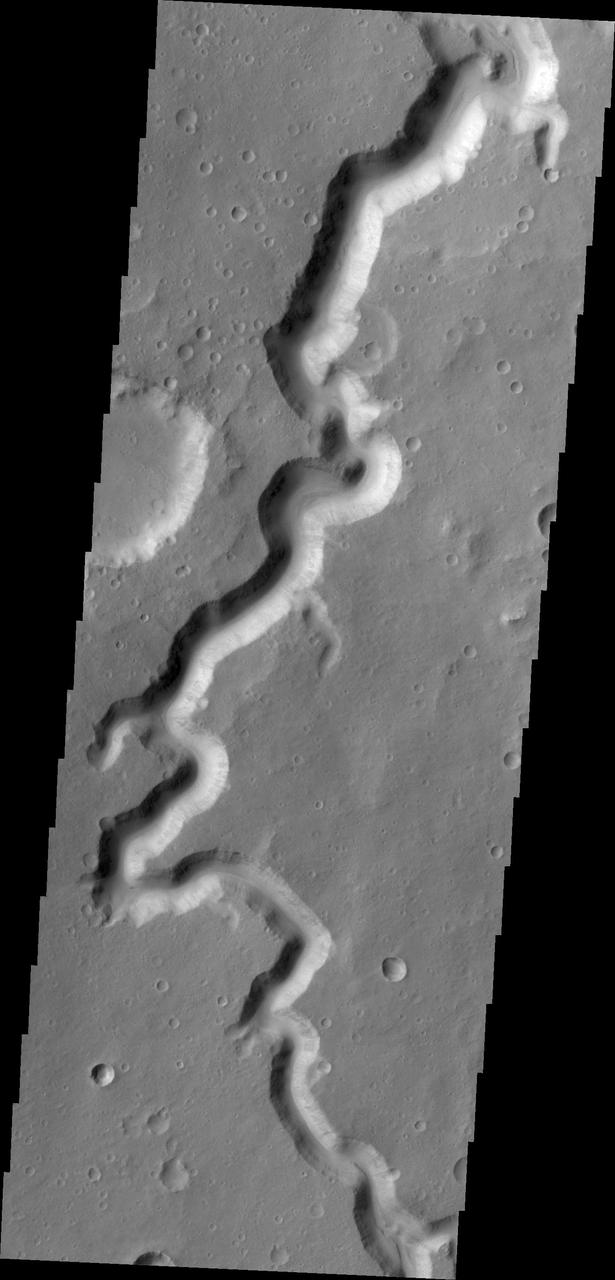
A section of Nanedi Valles is shown in this image captured by NASA 2001 Mars Odyssey.
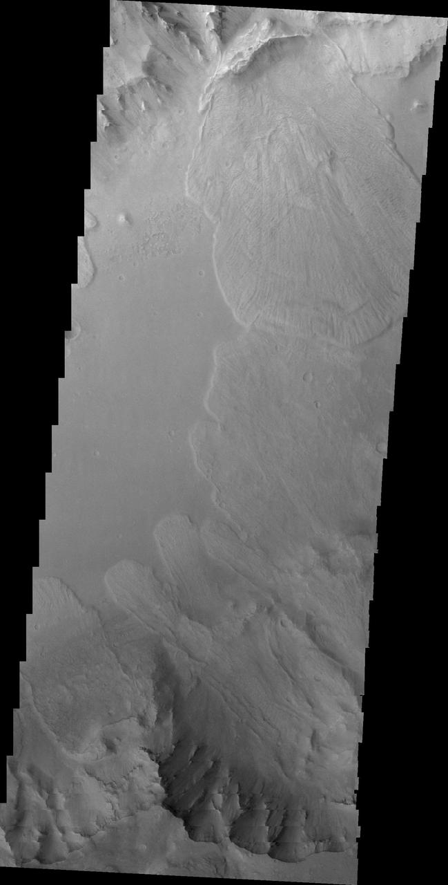
This 2001 Mars Odyssey image of Capri Chasma shows multiple landslide deposits.
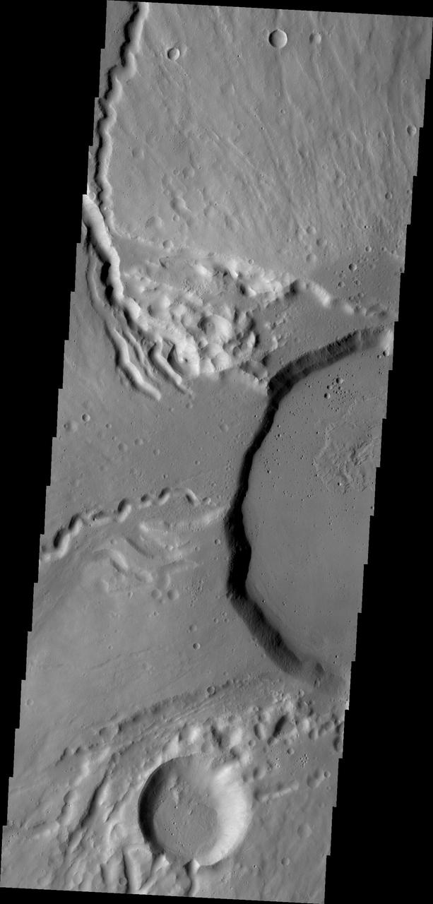
This image from NASA Mars Odyssey shows part of the summit of Ceraunius Tholus.
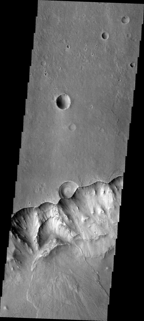
This 2001 Mars Odyssey THEMIS VIS image shows a landslide in Capri Chasma.
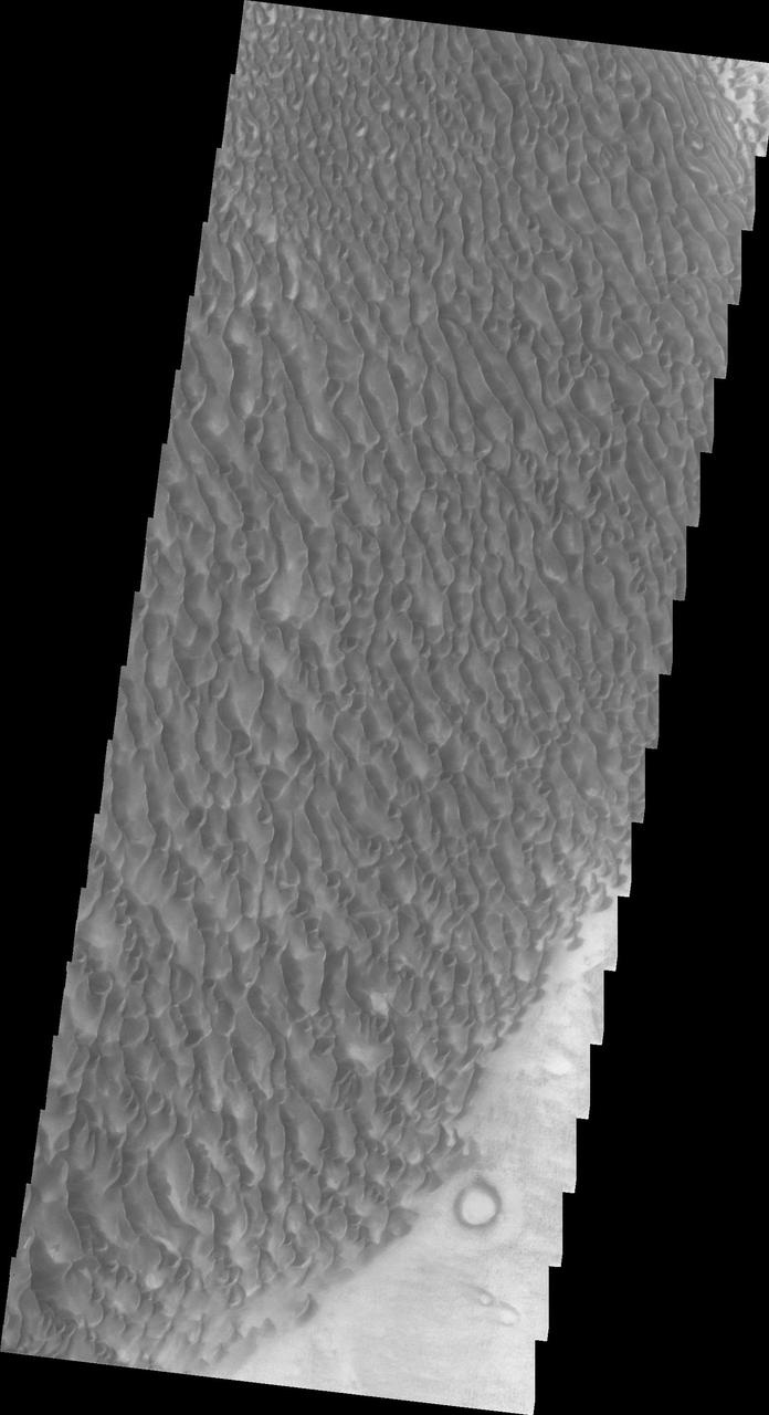
This Mars Odyssey image shows the eastern part of the Proctor Crater dune field.
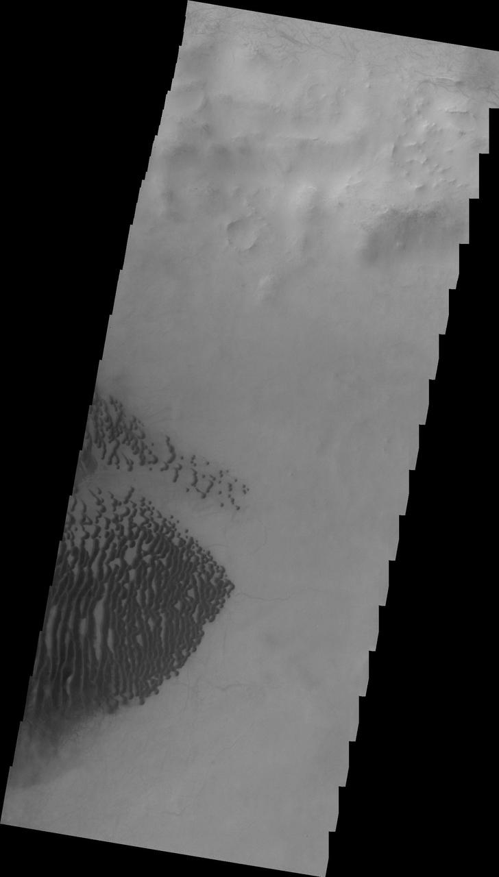
This 2001 Mars Odyssey image shows dark dunes on the floor of Lamont Crater.
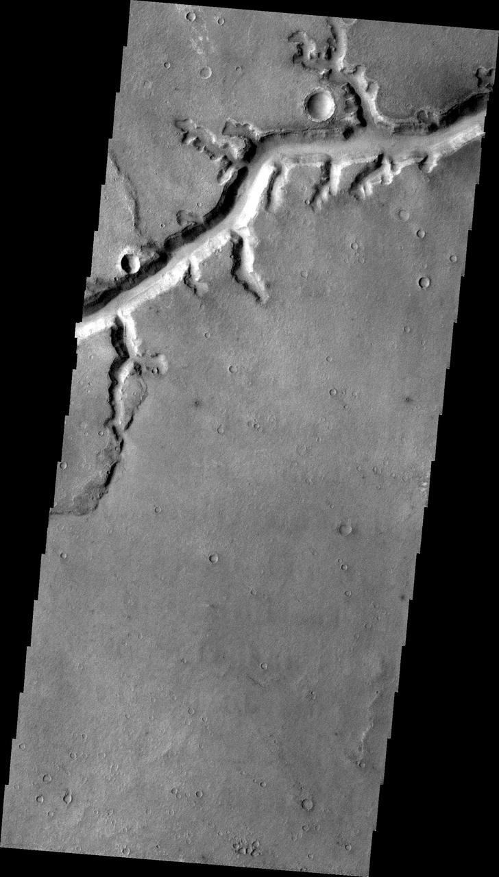
NASA 2001 Mars Odyssey image shows a portion of Nirgal Vallis.
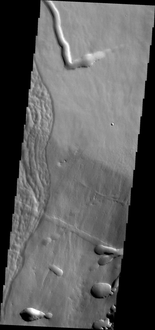
This image captured by NASA Mars Odyssey shows a portion of the flank of Pavonis Mons.
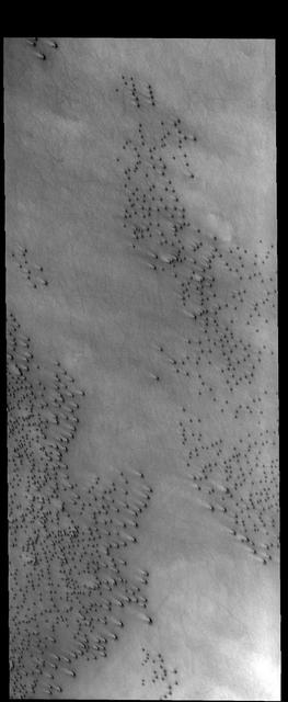
NASA's 2001 Mars Odyssey spies what looks likNASA's 2001 Mars Odyssey spies what looks like a barrage of bullets headed its way.e a barrage of bullets headed its way. https://photojournal.jpl.nasa.gov/catalog/PIA21688
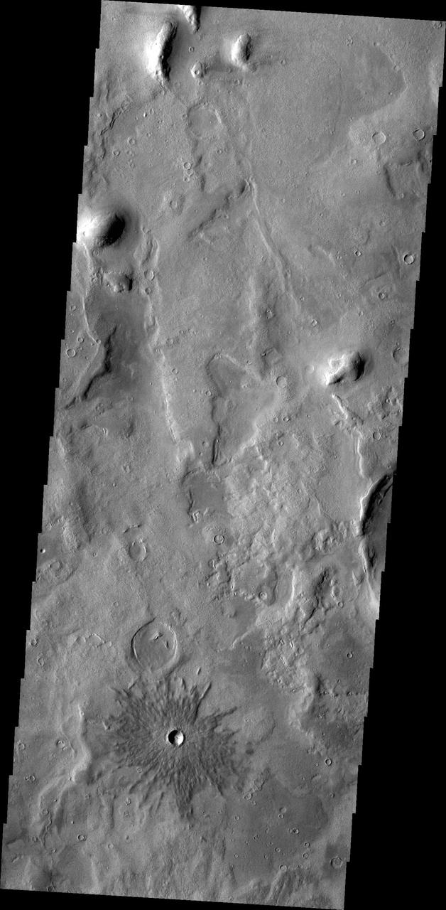
This image from NASA 2001 Mars Odyssey spacecraft shows a small crater near Phlegra Montes.
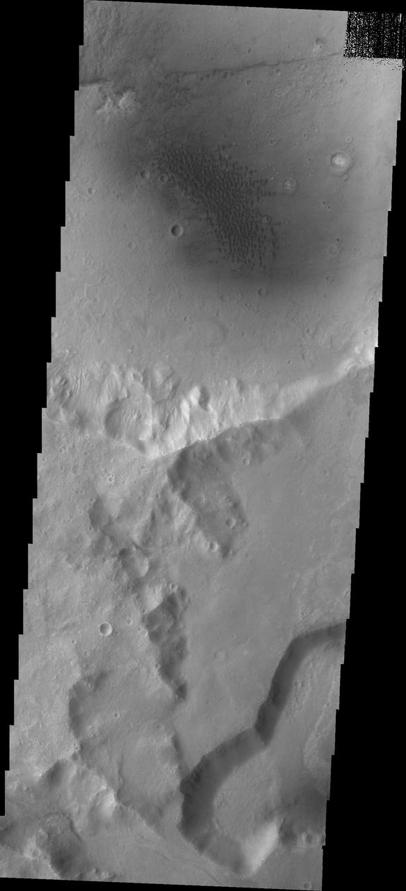
The dunes in this image captured by NASA 2001 Mars Odyssey spacecraft are located in an unnamed crater on the eastern margin of Tempe Terra.
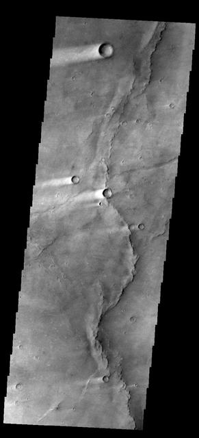
This image shows several wind streaks in Syrtis Major Planum as seen by NASA 2001 Mars Odyssey spacecraft.

This image from NASA 2001 Mars Odyssey shows a complex tributary channel and its entry to the main channel of Shalbatana Vallis.
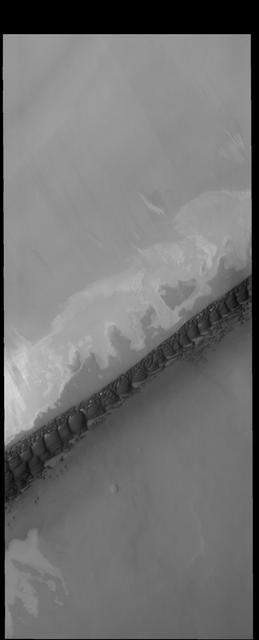
The dark, narrow band of sand dunes in this image from NASA 2001 Mars Odyssey spacecraft is called Hyperboreae Undae.

This image captured by NASA 2001 Mars Odyssey spacecraft of Eumenides Dorsum shows erosion of the surface material by wind action.
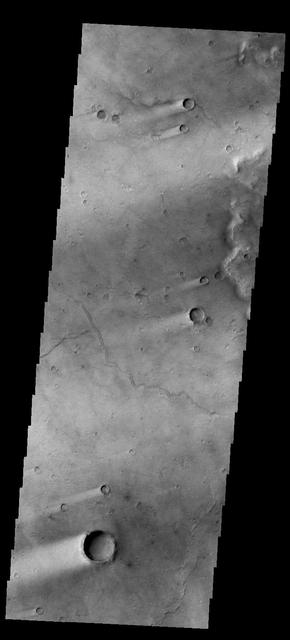
This image shows wind streaks in Syrtis Major Planum as seen by NASA 2001 Mars Odyssey spacecraft.
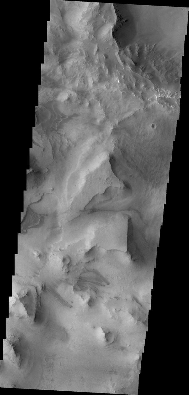
This image from NASA 2001 Mars Odyssey shows the mesas and mountain tops of Capri Chasma.
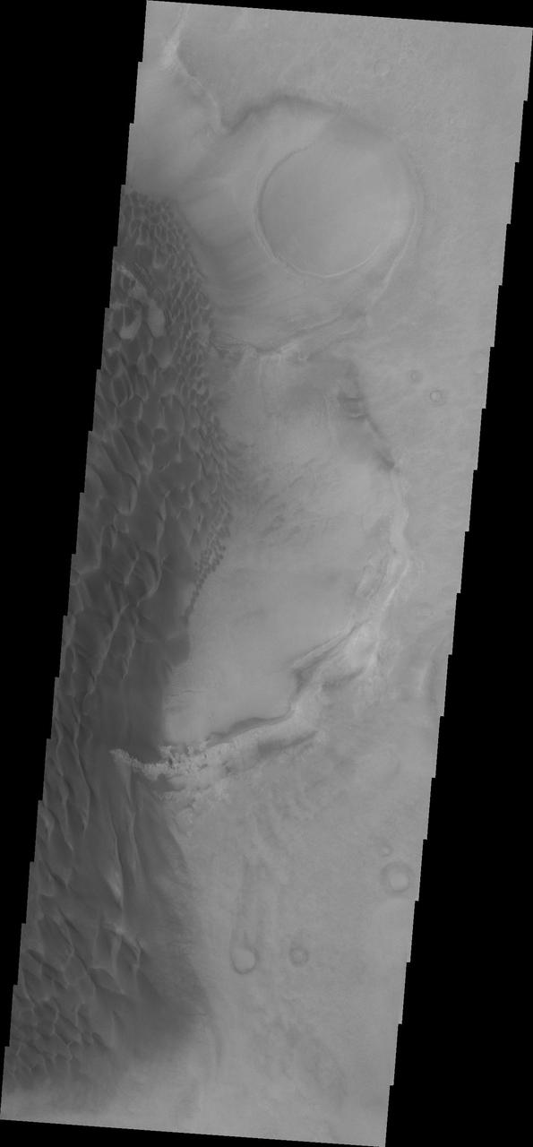
The sand sheet and dune forms in this image from NASA Mars Odyssey spacecraft are located on the floor of Rabe Crater.
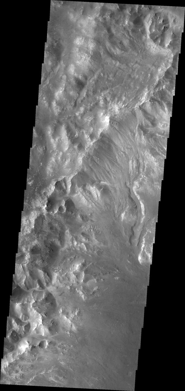
This image from NASA 2001 Mars Odyssey shows channels dissecting the northwestern rim of Holden Crater.
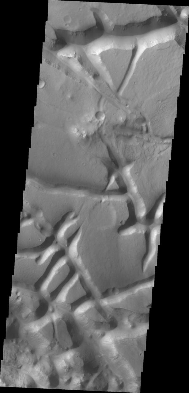
The tectonic fractures in this image captured by NASA Mars Odyssey on July 8, 2010 are part of Aram Chaos.
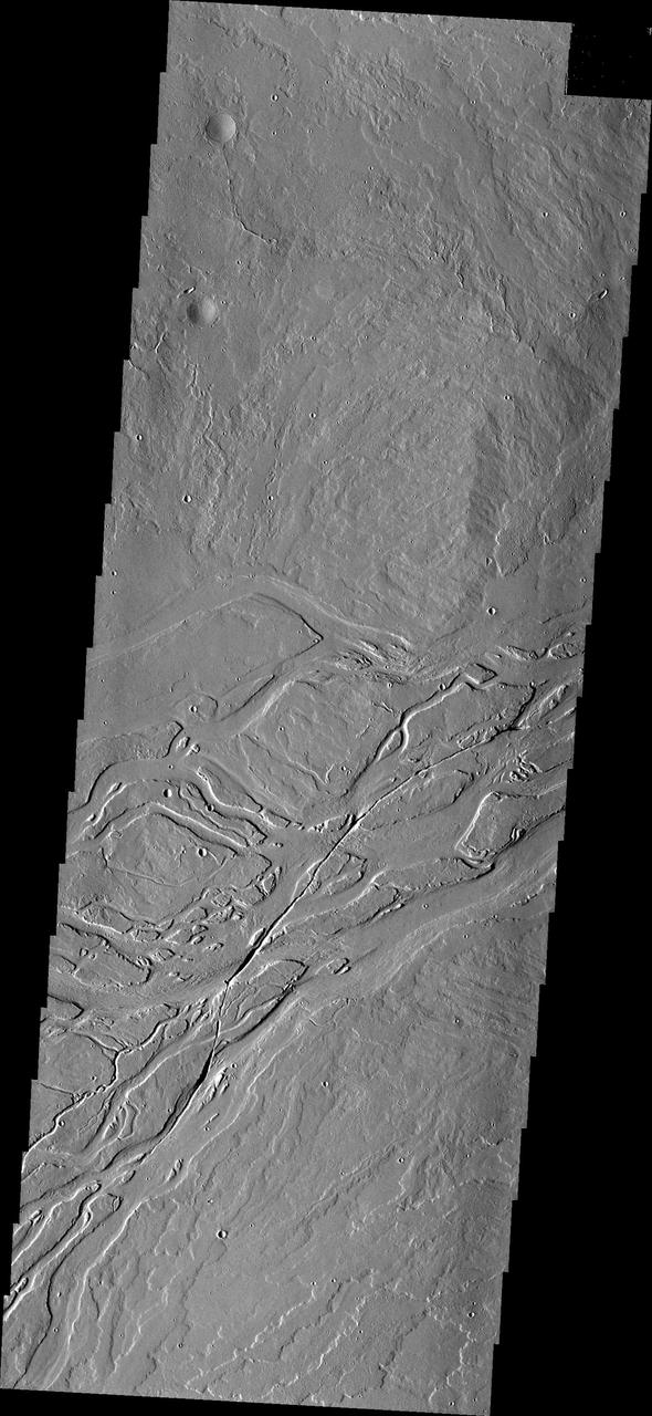
This image captured by NASA 2001 Mars Odyssey spacecraft shows lava channels in the Tharsis plains.
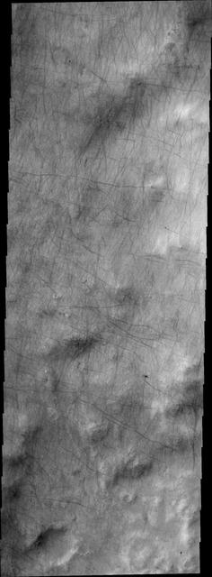
Dust devil tracks criss-cross the surface in this image captured by NASA 2001 Mars Odyssey spacecraft.

This image captured by NASA 2001 Mars Odyssey shows a small channel emptying into a deeper crater to the west.

This image as seen by NASA 2001 Mars Odyssey spacecraft shows the layering of the ice at the north pole.
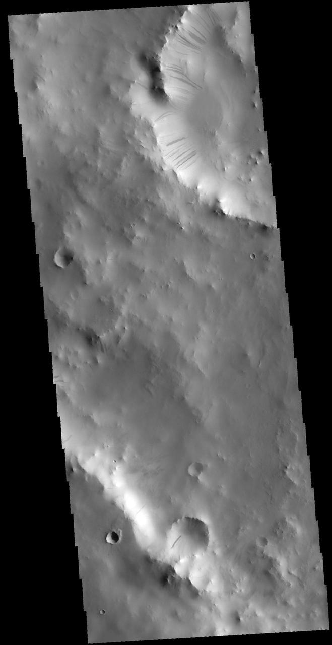
This image captured by NASA 2001 Mars Odyssey spacecraft shows a portion of two unnamed craters in Terra Sabaea.
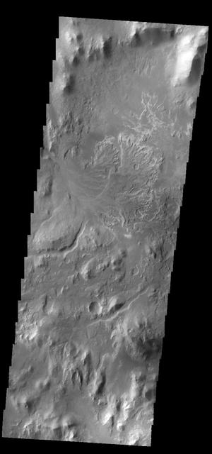
This image captured by NASA 2001 Mars Odyssey spacecraft shows the delta deposit on the floor of Eberswalde Crater.
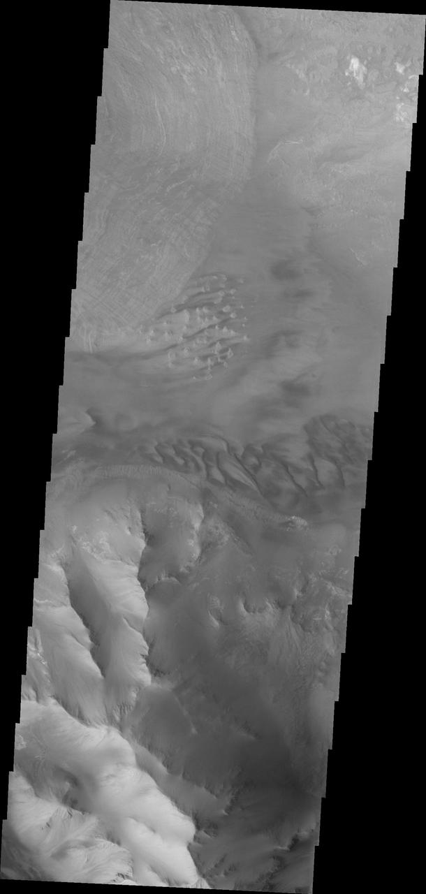
Dunes and the distal end of a landslide deposit are evident in this image from NASA 2001 Mars Odyssey of eastern Ius Chasma.
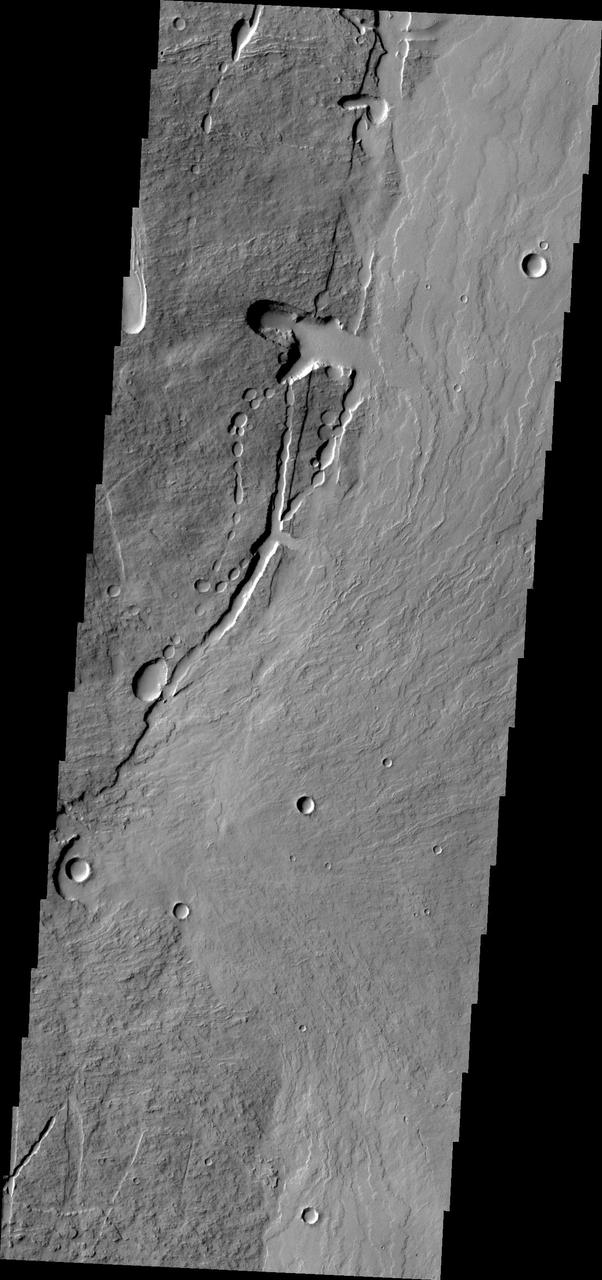
This image from NASA 2001 Mars Odyssey shows the eastern flank of Pavonis Mons.