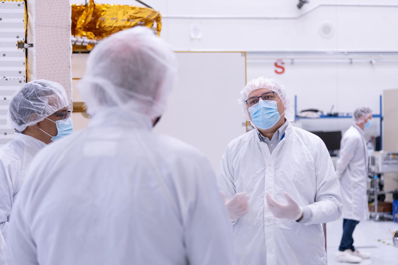
The new international satellite mission called Surface Water and Ocean Topography (SWOT) — slated for launch in late 2022 — will measure the height of Earth's surface water. The data the spacecraft will collect will help researchers understand and track the volume and location of water around the world. The satellite will assist with monitoring changes in floodplains and wetlands, measuring how much fresh water flows into and out of lakes and rivers and back to the ocean, and tracking regional shifts in sea level at scales never seen before. The satellite will also provide information on small-scale ocean currents that will support real-time marine operations affected by tides, currents, storm surge, sediment transport, and water quality issues. The payload is taking shape in a clean room at NASA's Jet Propulsion Laboratory in Southern California before being shipped to France. There, technicians and engineers from the French space agency Centre National d'Etudes Spatial (CNES), their prime contractor Thales Alenia Space, and JPL will complete the build and prepare the satellite for shipment to its California launch site at Vandenberg Air Force Base. JPL project manager Parag Vaze (pronounced vah-zay) is central to ensuring the handoff to his CNES counterpart Thierry Lafon goes smoothly. SWOT is being jointly developed by NASA and CNES, with contributions from the Canadian Space Agency (CSA) and United Kingdom Space Agency (UKSA). JPL, which is managed for NASA by Caltech in Pasadena, California, leads the U.S. component of the project. For the flight system, NASA is providing the Ka-band Radar Interferometer (KaRIn) instrument, a GPS science receiver, a laser retroreflector, and a two-beam microwave radiometer. CNES is providing the Doppler Orbitography and Radioposition Integrated by Satellite (DORIS) system, nadir altimeter, and the KaRIn RF subsystem (with support from the UKSA). CSA is providing the KaRIn high-power transmitter assembly. NASA is providing associated launch services. https://photojournal.jpl.nasa.gov/catalog/PIA24531
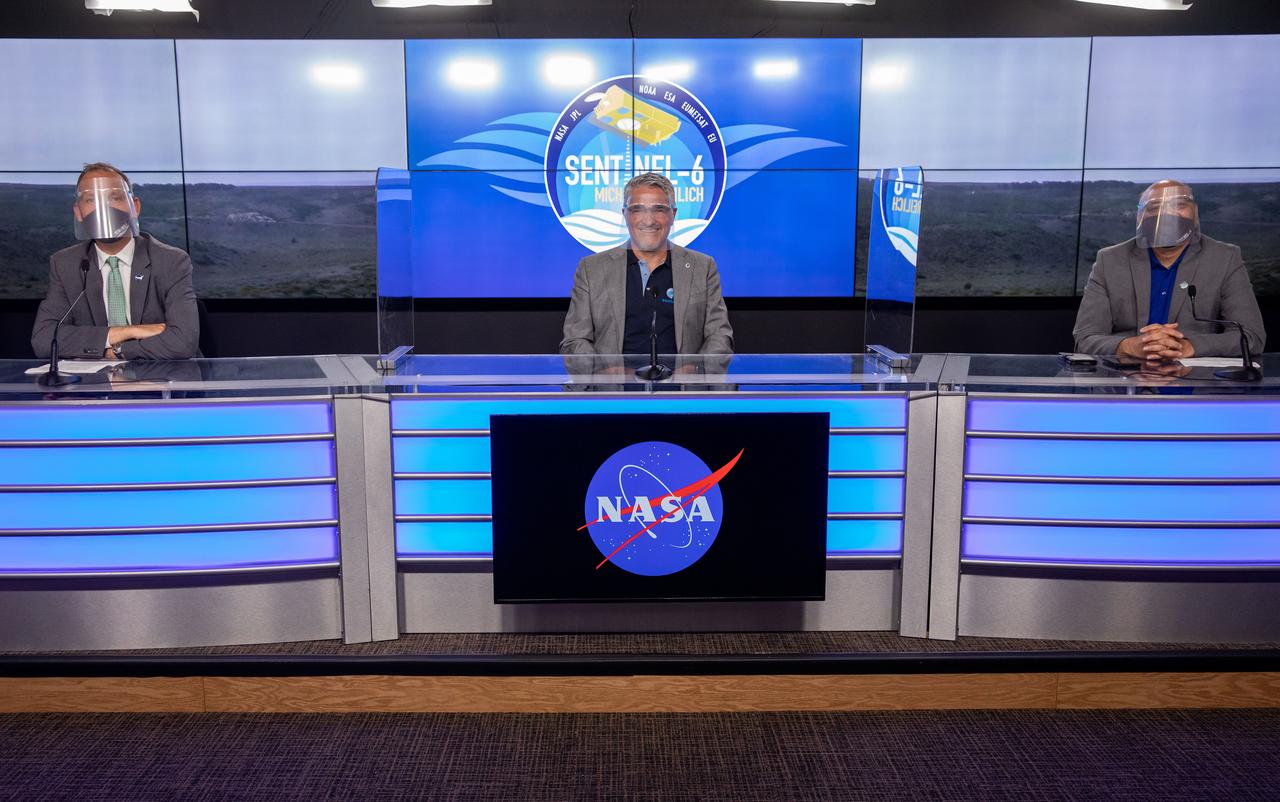
Mission and launch officials participate in a prelaunch news conference for the Sentinel-6 Michael Freilich mission at Vandenberg Air Force Base in California on Nov. 20, 2020. From left are Thomas Zurbuchen, associate administrator for Science Mission Directorate at NASA Headquarters; Pierrik Vuilleumier, project manager, European Space Agency (ESA); and Parag Vaze, project manager, NASA’s Jet Propulsion Laboratory in Pasadena. The Sentinel-6/Jason-CS (Continuity of Service) mission consists of the Sentinel-6 Michael Freilich satellite, which will be followed by its twin, the Sentinel-6B satellite, in 2025. The Sentinel-6/Jason-CS mission is part of Copernicus, the European Union’s Earth observation program, managed by the European Commission. Continuing the legacy of the Jason series missions, Sentinel-6/Jason-CS will extend the records of sea level into their fourth decade, collecting accurate measurements of sea surface height for more than 90% of the world’s seas, and providing crucial information for operational oceanography, marine meteorology, and climate studies. Sentinel-6 Michael Freilich launched Nov. 21, 2020, at 9:17 PST (12:17 EST). NASA’s Launch Services Program at Kennedy Space Center was responsible for launch management.
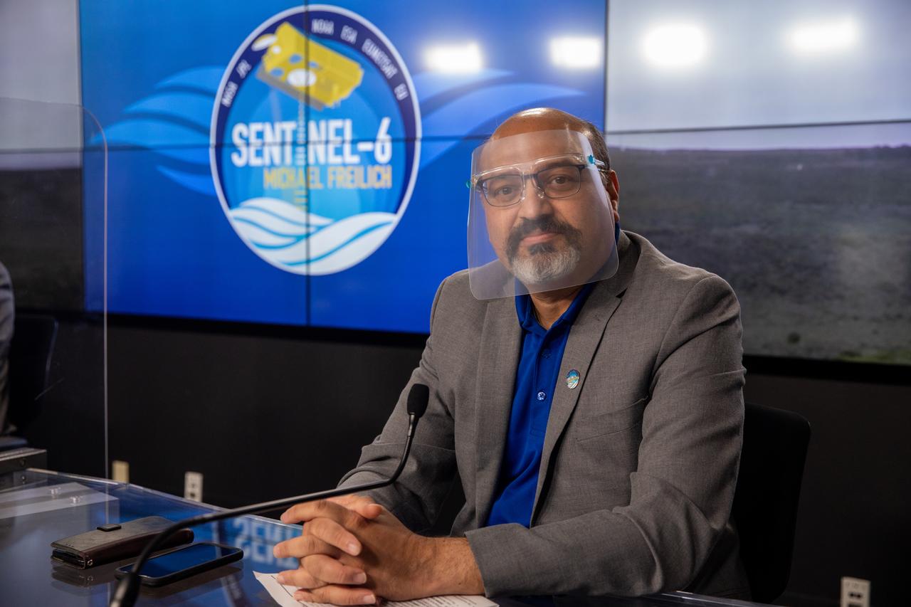
Parag Vaze, project manager, NASA’s Jet Propulsion Laboratory in Pasadena, participates in a prelaunch news conference for the Sentinel-6 Michael Freilich mission at Vandenberg Air Force Base in California on Nov. 20, 2020. The Sentinel-6/Jason-CS (Continuity of Service) mission consists of the Sentinel-6 Michael Freilich satellite, which will be followed by its twin, the Sentinel-6B satellite, in 2025. The Sentinel-6/Jason-CS mission is part of Copernicus, the European Union’s Earth observation program, managed by the European Commission. Continuing the legacy of the Jason series missions, Sentinel-6/Jason-CS will extend the records of sea level into their fourth decade, collecting accurate measurements of sea surface height for more than 90% of the world’s seas, and providing crucial information for operational oceanography, marine meteorology, and climate studies. Sentinel-6 Michael Freilich launched Nov. 21, 2020, at 9:17 PST (12:17 EST). NASA’s Launch Services Program at Kennedy Space Center was responsible for launch management.
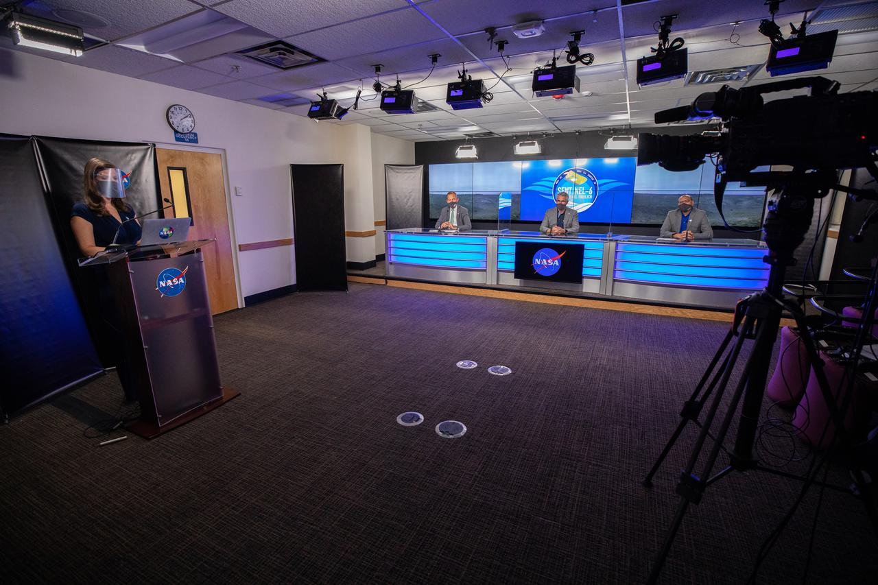
Mission and launch officials participate in a prelaunch news conference for the Sentinel-6 Michael Freilich mission at Vandenberg Air Force Base in California on Nov. 20, 2020. From left are Marina Jurica of NASA’s Jet Propulsion Laboratory in Pasadena; Thomas Zurbuchen, associate administrator for Science Mission Directorate at NASA Headquarters; Pierrik Vuilleumier, project manager, European Space Agency (ESA); and Parag Vaze, project manager, NASA’s Jet Propulsion Laboratory in Pasadena. The Sentinel-6/Jason-CS (Continuity of Service) mission consists of the Sentinel-6 Michael Freilich satellite, which will be followed by its twin, the Sentinel-6B satellite, in 2025. The Sentinel-6/Jason-CS mission is part of Copernicus, the European Union’s Earth observation program, managed by the European Commission. Continuing the legacy of the Jason series missions, Sentinel-6/Jason-CS will extend the records of sea level into their fourth decade, collecting accurate measurements of sea surface height for more than 90% of the world’s seas, and providing crucial information for operational oceanography, marine meteorology, and climate studies. Sentinel-6 Michael Freilich launched Nov. 21, 2020, at 9:17 PST (12:17 EST). NASA’s Launch Services Program at Kennedy Space Center was responsible for launch management.
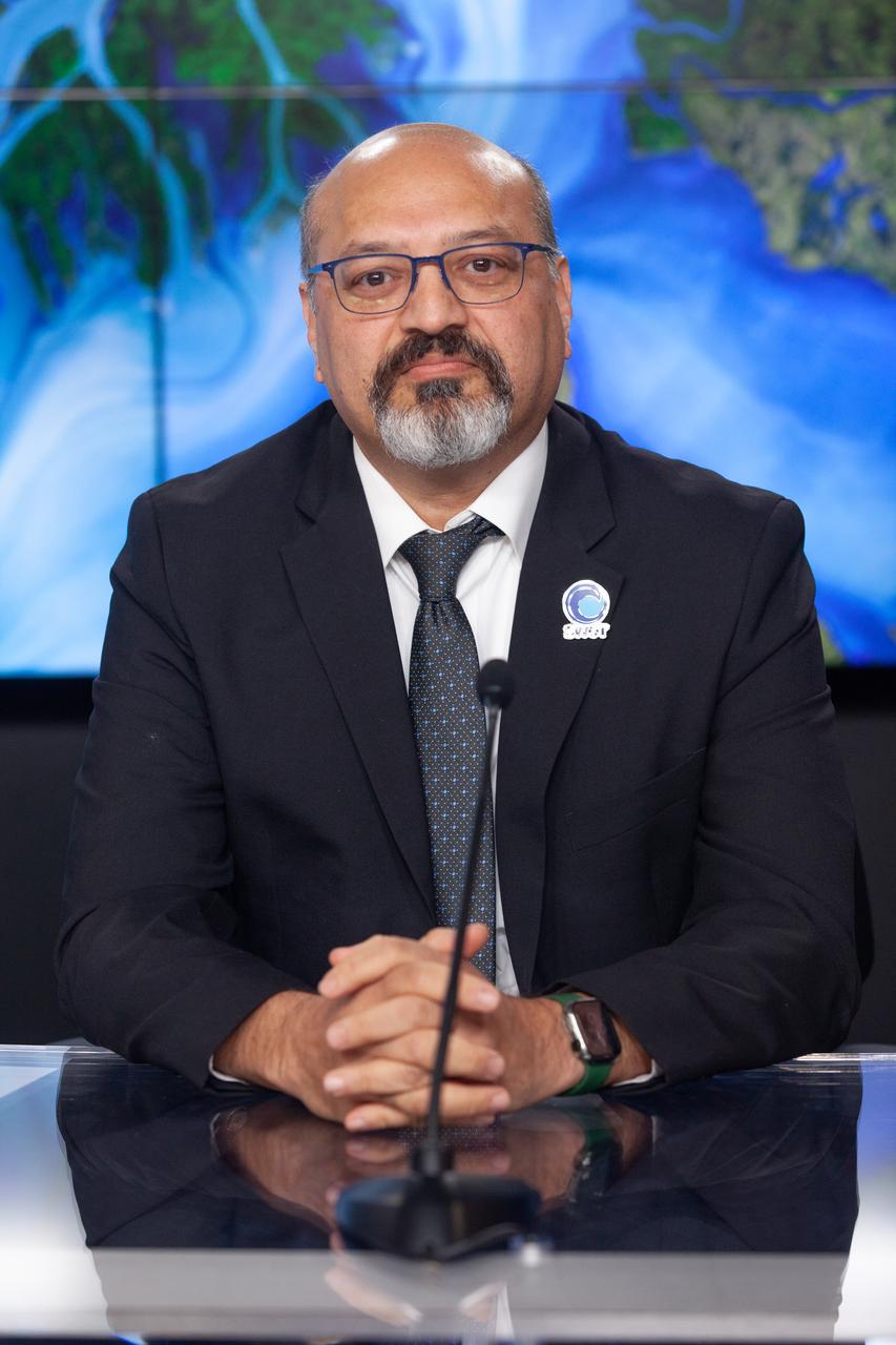
Parag Vaze, SWOT project manager, Jet Propulsion Laboratory, participates in a prelaunch news conference held by NASA, SpaceX, and the French space agency Centre National d’Études Spatiales (CNES) for the Surface Water and Ocean Topography (SWOT) mission on Dec. 14, 2022, at Vandenberg Space Force Base in California. SWOT is scheduled to launch on a SpaceX Falcon 9 rocket from Space Launch Complex-4 East at Vandenberg on Dec. 15, 2022, at 3:46 a.m. PST. SWOT will be NASA’s first global survey of nearly all water on Earth’s surface. Scientists plan to use its observations to better understand the global water cycle, furnish insight into the ocean’s role in how climate change unfolds, and provide a global inventory of water resources. The SWOT mission is a collaborative effort between NASA and CNES with contributions from the Canadian Space Agency and the UK Space Agency. NASA’s Launch Services Program, based at the agency’s Kennedy Space Center in Florida, is managing the launch service.
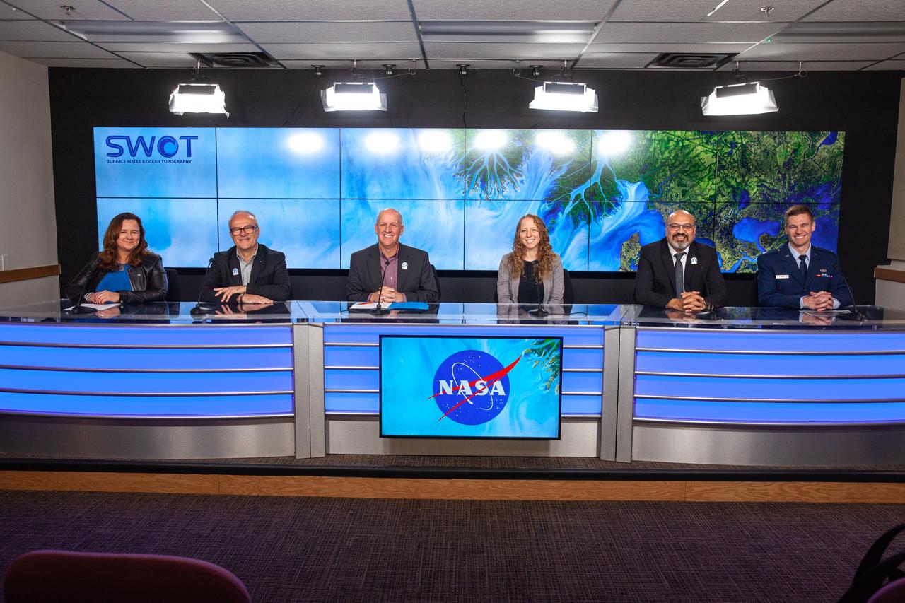
NASA, SpaceX, and the French space agency Centre National d’Études Spatiales (CNES) hold a prelaunch news conference for the Surface Water and Ocean Topography (SWOT) mission on Dec. 14, 2022, at Vandenberg Space Force Base in California. Participating from left are Karen St. Germain, Earth Science Division director, NASA; Thierry Lafon, SWOT project manager, CNES; Tim Dunn, launch director, NASA’s Launch Services Program; Julianna Scheiman, civil satellite missions director, SpaceX; Parag Vaze, SWOT project manager, Jet Propulsion Laboratory; Capt. Max Rush, launch weather officer, U.S. Air Force. SWOT is scheduled to launch on a SpaceX Falcon 9 rocket from Space Launch Complex-4 East at Vandenberg on Dec. 15, 2022, at 3:46 a.m. PST. SWOT will be NASA’s first global survey of nearly all water on Earth’s surface. Scientists plan to use its observations to better understand the global water cycle, furnish insight into the ocean’s role in how climate change unfolds, and provide a global inventory of water resources. The SWOT mission is a collaborative effort between NASA and CNES with contributions from the Canadian Space Agency and the UK Space Agency. NASA’s Launch Services Program, based at the agency’s Kennedy Space Center in Florida, is managing the launch service.
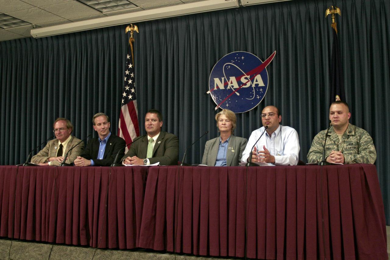
VANDENBERG AIR FORCE BASE, Calif. – A prelaunch news conference is held on North Vandenberg Air Force Base to present the latest information about the Ocean Surface Topography Mission, or OSTM/Jason 2. Seated from left are the moderator George Diller; Steve Neeck, OSTM/Jason 2 program executive; Omar Baez, NASA launch director at NASA's Kennedy Space Center; Kris Walsh, director of NASA and commercial programs for, United Launch Alliance; Parag Vaze, OSTM/Jason 2 project manager at the NASA's Jet Propulsion Laboratory; and Capt. Andrew M. Frey, launch weather officer with the 30th Weather Squadron. The OSTM/Jason 2 satellite will embark on a globe-circling voyage to continue charting sea level, a vital indicator of global climate change. The mission will return a vast amount of new data that will improve weather, climate and ocean forecasts. OSTM/Jason 2's expected lifetime of at least three years will extend into the next decade the continuous record of these data started in 1992 by NASA and the French space agency Centre National d'Etudes Spatiales, or CNES, with the TOPEX/Poseidon mission. The data collection was continued by the two agencies on Jason-1 in 2001. The launch window extends from 12:46 a.m. to 12:55 a.m. PDT. The satellite will be placed in an 830-mile-high orbit at an inclination of 66 degrees after separating from the Delta II 55 minutes after liftoff. Photo credit: Photograph by Carleton Bailie for United Launch Alliance
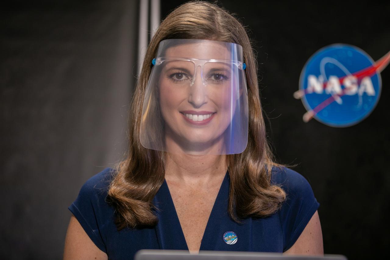
Marina Jurica of NASA’s Jet Propulsion Laboratory in Pasadena moderates a prelaunch news conference for the Sentinel-6 Michael Freilich mission at Vandenberg Air Force Base in California on Nov. 20, 2020. The Sentinel-6/Jason-CS (Continuity of Service) mission consists of the Sentinel-6 Michael Freilich satellite, which will be followed by its twin, the Sentinel-6B satellite, in 2025. The Sentinel-6/Jason-CS mission is part of Copernicus, the European Union’s Earth observation program, managed by the European Commission. Continuing the legacy of the Jason series missions, Sentinel-6/Jason-CS will extend the records of sea level into their fourth decade, collecting accurate measurements of sea surface height for more than 90% of the world’s seas, and providing crucial information for operational oceanography, marine meteorology, and climate studies. Sentinel-6 Michael Freilich launched Nov. 21, 2020, at 9:17 PST (12:17 EST). NASA’s Launch Services Program at Kennedy Space Center was responsible for launch management.
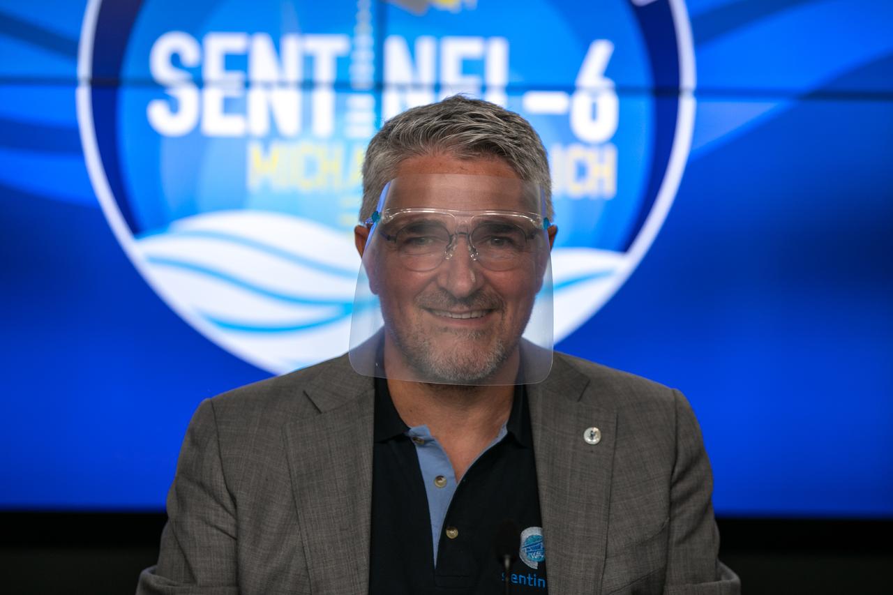
Pierrik Vuilleumier, project manager, European Space Agency (ESA), participates in a prelaunch news conference for the Sentinel-6 Michael Freilich mission at Vandenberg Air Force Base in California on Nov. 20, 2020. The Sentinel-6/Jason-CS (Continuity of Service) mission consists of the Sentinel-6 Michael Freilich satellite, which will be followed by its twin, the Sentinel-6B satellite, in 2025. The Sentinel-6/Jason-CS mission is part of Copernicus, the European Union’s Earth observation program, managed by the European Commission. Continuing the legacy of the Jason series missions, Sentinel-6/Jason-CS will extend the records of sea level into their fourth decade, collecting accurate measurements of sea surface height for more than 90% of the world’s seas, and providing crucial information for operational oceanography, marine meteorology, and climate studies. Sentinel-6 Michael Freilich launched Nov. 21, 2020, at 9:17 PST (12:17 EST). NASA’s Launch Services Program at Kennedy Space Center was responsible for launch management.
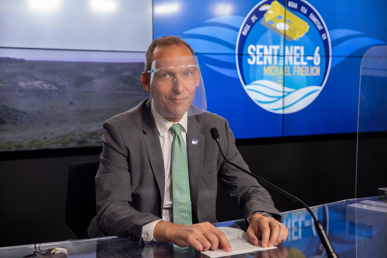
Thomas Zurbuchen, associate administrator for Science Mission Directorate at NASA Headquarters, participates in a prelaunch news conference for the Sentinel-6 Michael Freilich mission at Vandenberg Air Force Base in California on Nov. 20, 2020. The Sentinel-6/Jason-CS (Continuity of Service) mission consists of the Sentinel-6 Michael Freilich satellite, which will be followed by its twin, the Sentinel-6B satellite, in 2025. The Sentinel-6/Jason-CS mission is part of Copernicus, the European Union’s Earth observation program, managed by the European Commission. Continuing the legacy of the Jason series missions, Sentinel-6/Jason-CS will extend the records of sea level into their fourth decade, collecting accurate measurements of sea surface height for more than 90% of the world’s seas, and providing crucial information for operational oceanography, marine meteorology, and climate studies. Sentinel-6 Michael Freilich launched Nov. 21, 2020, at 9:17 PST (12:17 EST). NASA’s Launch Services Program at Kennedy Space Center was responsible for launch management.