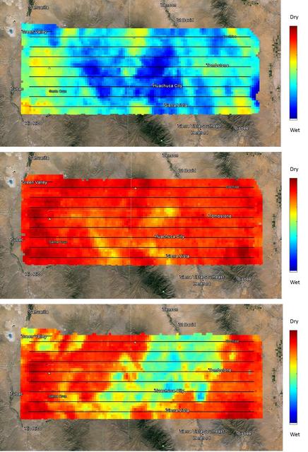
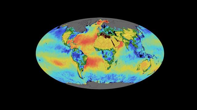
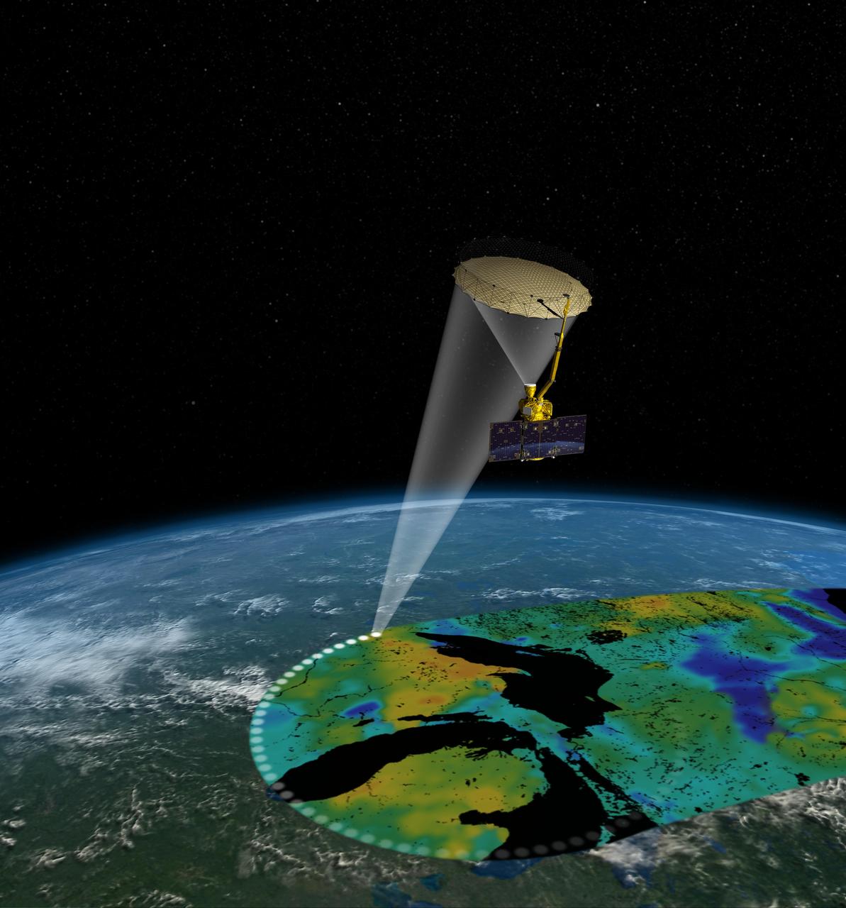
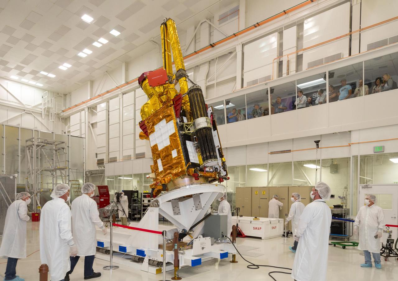
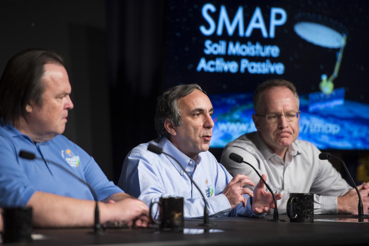
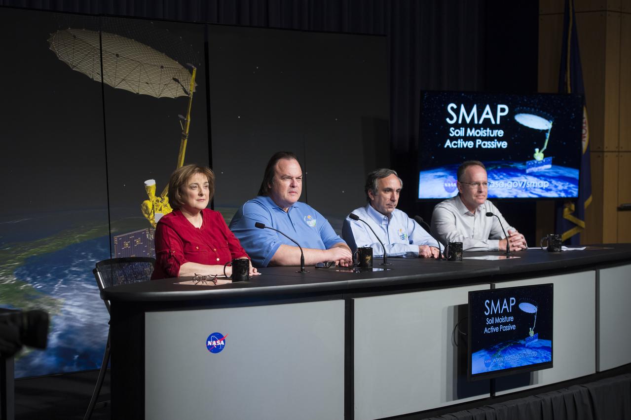
Soil Moisture Active Passive (SMAP) Media Briefing Christine Bonniksen, SMAP program executive with the Science Mission Directorate’s Earth Science Division, NASA Headquarters, left, Kent Kellogg, SMAP project manager, NASA Jet Propulsion Laboratory (JPL), second from left, Dara Entekhabi, SMAP science team lead, Massachusetts Institute of Technology, second from right, and Brad Doorn, SMAP applications lead, Science Mission Directorate’s Applied Sciences Program, NASA Headquarters, right, are seen during a briefing about the upcoming launch of the Soil Moisture Active Passive (SMAP) mission, Thursday, Jan. 08, 2015, at NASA Headquarters in Washington DC. The mission is scheduled for a Jan. 29 launch from Vandenberg Air Force Base in California, and will provide the most accurate, highest-resolution global measurements of soil moisture ever obtained from space. The data will be used to enhance scientists' understanding of the processes that link Earth's water, energy and carbon cycles. Photo Credit: (NASA/Aubrey Gemignani)