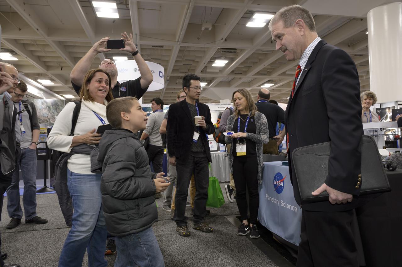
Associate Administrator for NASA's Science Mission Directorate and former astronaut John M. Grunsfeld talked to the attendees of the The American Geophysical Union (AGU) meet at the Moscone Center in San Francisco, California. New results presented at the meeting show atmospheric rivers, significant sources of rainfall, tend to intensify during Nino events, and this years strong El Nino likely will bring more precipitation to California and some relief for the drought.
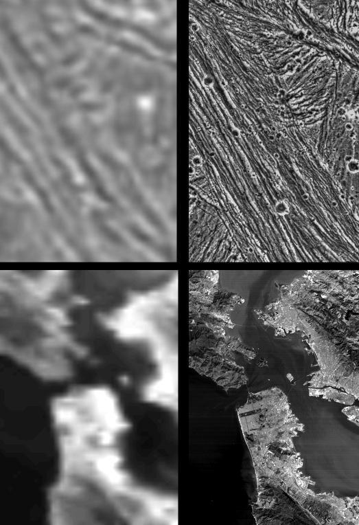
Galileo Resolutions: Ganymede and the San Francisco Bay Area
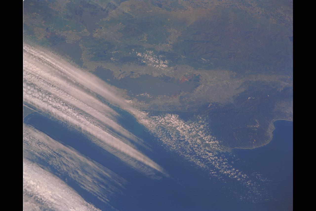
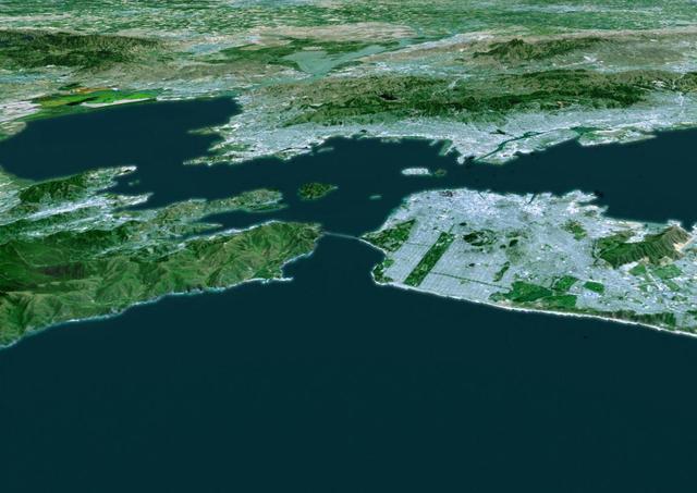
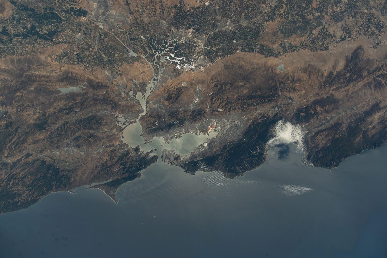
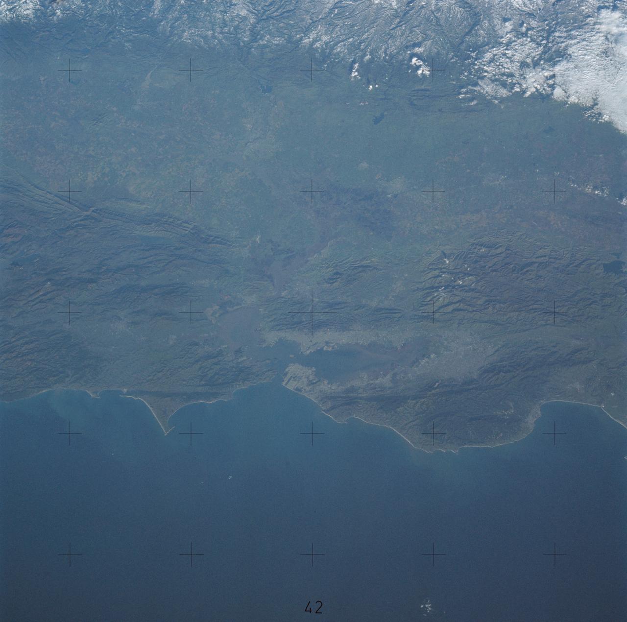
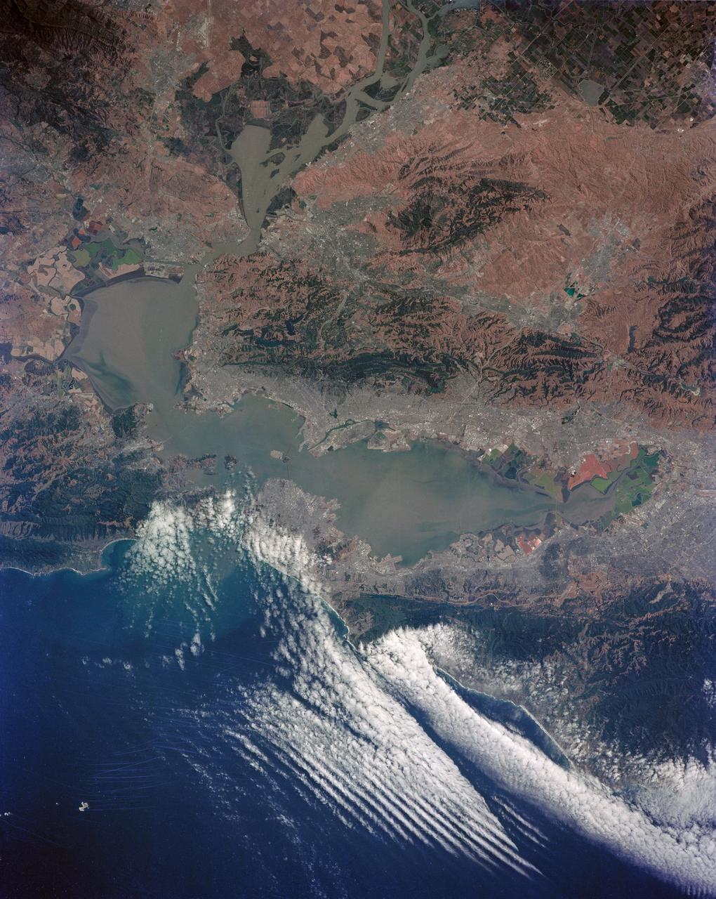
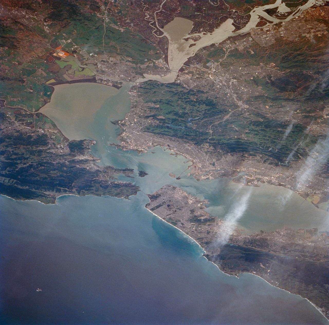
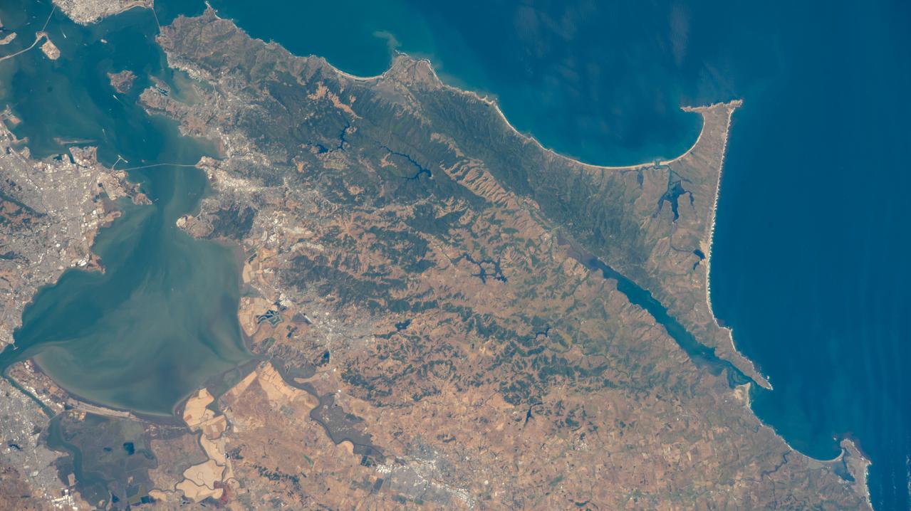
San Francisco Bay Area as seen from the Space Shuttle STS-40, SL-1 mission
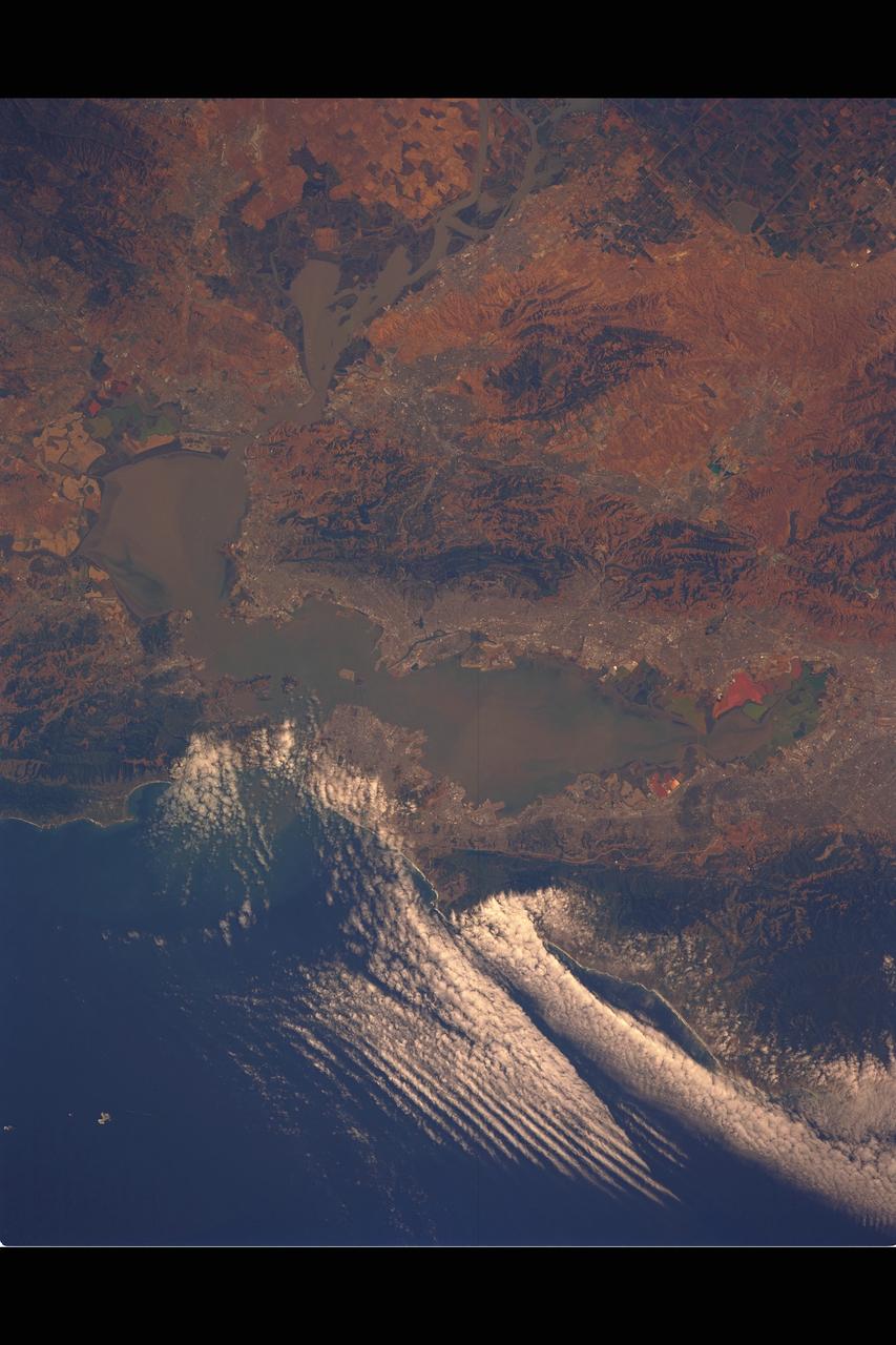
San Francisco Bay Area as seen from the Space Shuttle STS-40, SL-1 mission
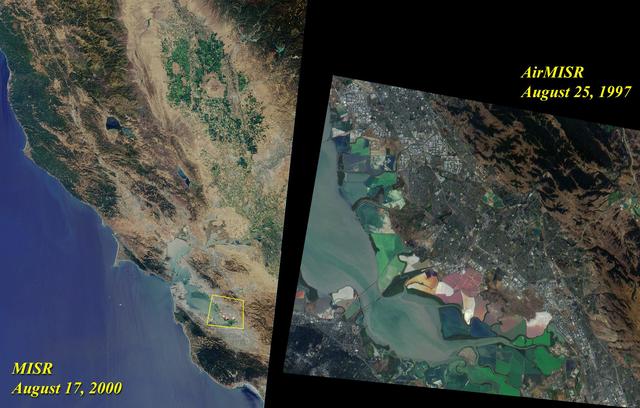
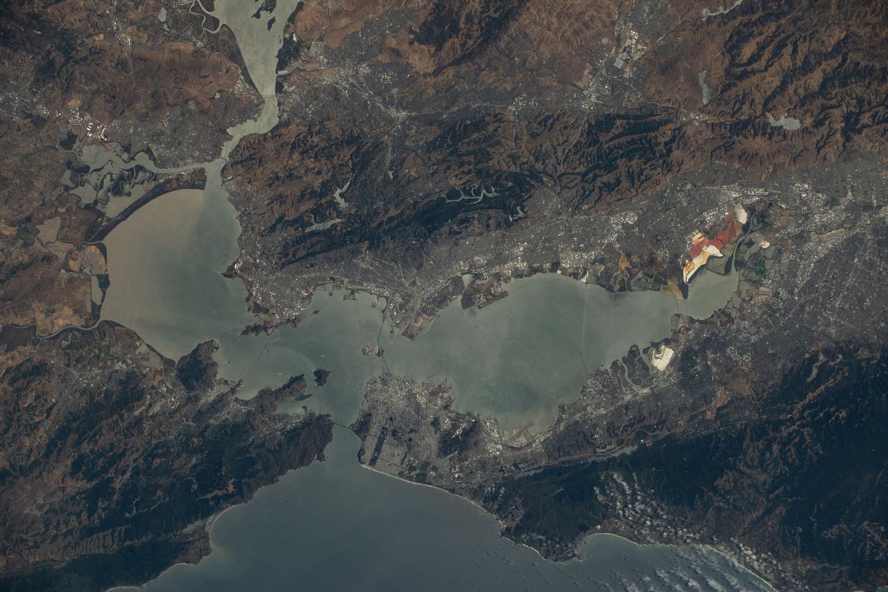
This image acquired on August 17, 2000 during Terra orbit 3545 shows Northern California and San Francisco Bay.
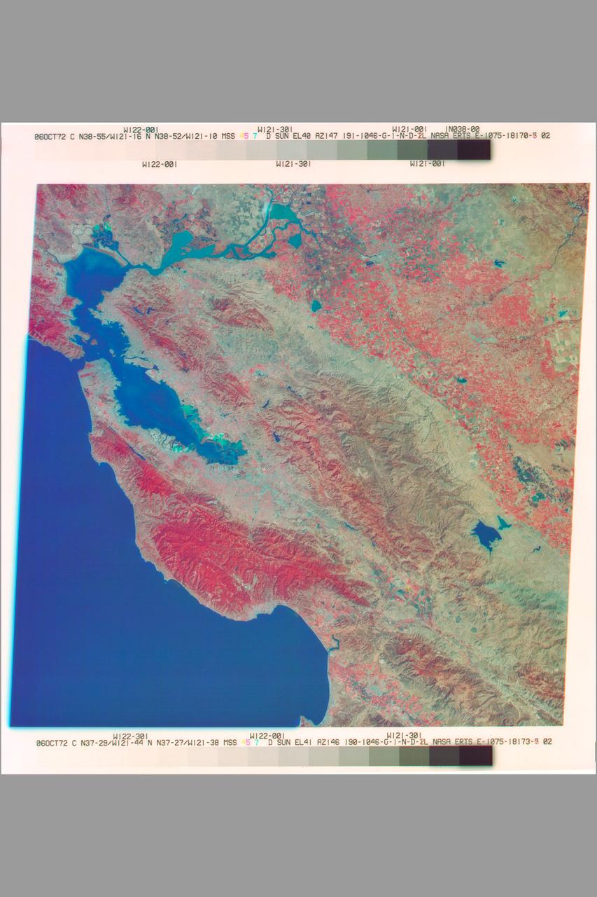
San Francisco Bay Area as seen by NASA Earth Resources Technology Satellite (ERTS) Ref E-1075-18178-3 02)
This illustration depicts synthetic aperature radar patterns of seismic deformations associated with a model earthquake on the San Francisco section of the San Andreas Fault depicted in yellow.
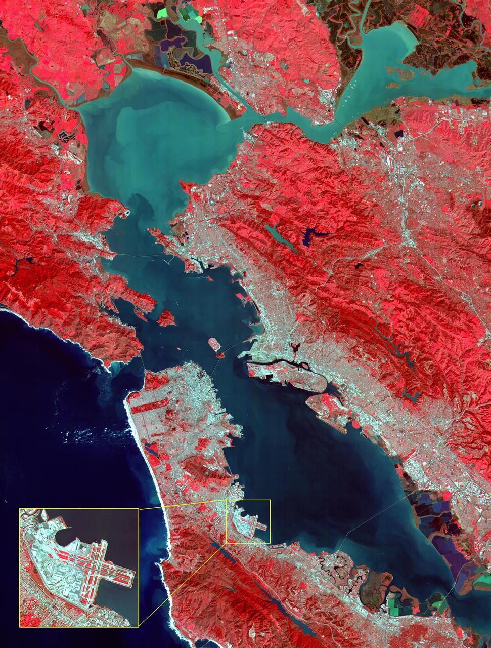
This image of San Francisco, California shows how the radar distinguishes between densely populated urban areas and nearby areas that are relatively unsettled. Downtown San Francisco is at the center and the city of Oakland is at the right across the San Francisco Bay. Some city areas, such as the South of Market, called the SOMA district in San Francisco, appear bright red due to the alignment of streets and buildings to the incoming radar beam. Various bridges in the area are also visible including the Golden Gate Bridge (left center) at the opening of San Francisco Bay, the Bay Bridge (right center) connecting San Francisco and Oakland, and the San Mateo Bridge (bottom center). All the dark areas on the image are relatively smooth water: the Pacific Ocean to the left, San Francisco Bay in the center, and various reservoirs. Two major faults bounding the San Francisco-Oakland urban areas are visible on this image. The San Andreas fault, on the San Francisco peninsula, is seen in the lower left of the image. The fault trace is the straight feature filled with linear reservoirs which appear dark. The Hayward fault is the straight feature on the right side of the image between the urban areas and the hillier terrain to the east. The image is about 42 kilometers by 58 kilometers (26 miles by 36 miles) with north toward the upper right. This area is centered at 37.83 degrees north latitude, 122.38 degrees east longitude. http://photojournal.jpl.nasa.gov/catalog/PIA01791
This image of the San Francisco Bay region was acquired on March 3, 2000 by the Advanced Spaceborne Thermal Emission and Reflection Radiometer (ASTER) on NASA's Terra satellite. With its 14 spectral bands from the visible to the thermal infrared wavelength region, and its high spatial resolution of 15 to 90 meters about 50 to 300 feet ), ASTER will image Earth for the next 6 years to map and monitor the changing surface of our planet. Image: This image covers an area 60 kilometers (37 miles) wide and 75 kilometers (47 miles) long in three bands of the reflected visible and infrared wavelength region. The combination of bands portrays vegetation in red, and urban areas in gray. Sediment in the Suisun Bay, San Pablo Bay, San Francisco Bay, and the Pacific Ocean shows up as lighter shades of blue. Along the west coast of the San Francisco Peninsula, strong surf can be seen as a white fringe along the shoreline. A powerful rip tide is visible extending westward from Daly City into the Pacific Ocean. In the lower right corner, the wetlands of the South San Francisco Bay National Wildlife Refuge appear as large dark blue and brown polygons. The high spatial resolution of ASTER allows fine detail to be observed in the scene. The main bridges of the area (San Mateo, San Francisco-Oakland Bay, Golden Gate, Richmond-San Rafael, Benicia-Martinez, and Carquinez) are easily picked out, connecting the different communities in the Bay area. Shadows of the towers along the Bay Bridge can be seen over the adjacent bay water. With enlargement the entire road network can be easily mapped; individual buildings are visible, including the shadows of the high-rises in downtown San Francisco. Inset: This enlargement of the San Francisco Airport highlights the high spatial resolution of ASTER. With further enlargement and careful examination, airplanes can be seen at the terminals. http://photojournal.jpl.nasa.gov/catalog/PIA02606
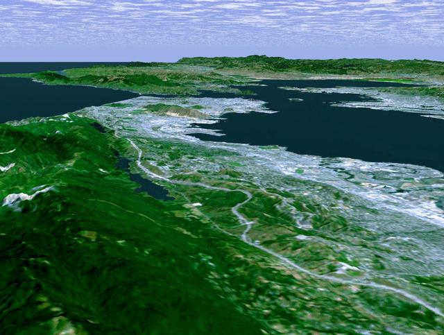
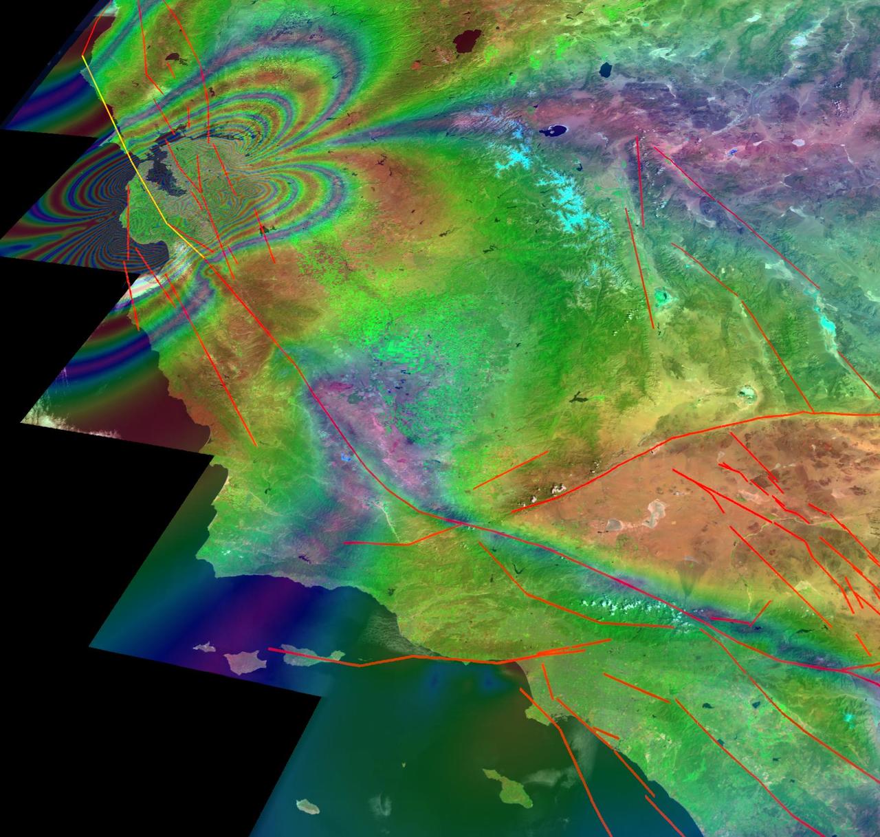
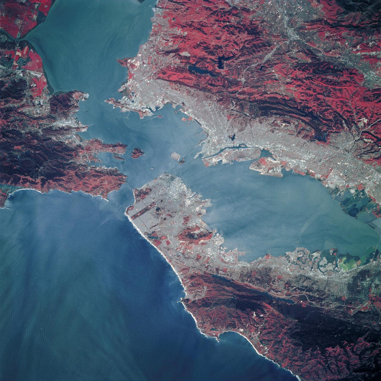
The defining landmarks of San Francisco, its bay and the San Andreas Fault are clearly seen in this computer-generated perspective viewed from the south.
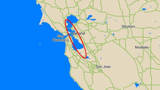
This map compares the size of the area where NASA Phoenix Mars Lander was expected to land, called the landing ellipse red, to the size of the San Francisco Bay Area.
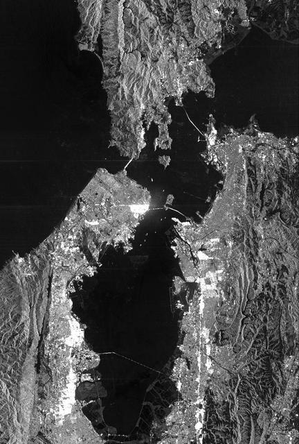
This is a radar image of San Francisco, California, taken on October 3,1994. The image is about 40 kilometers by 55 kilometers (25 miles by 34 miles) with north toward the upper right. Downtown San Francisco is visible in the center of the image with the city of Oakland east (to the right) across San Francisco Bay. Also visible in the image is the Golden Gate Bridge (left center) and the Bay Bridge connecting San Francisco and Oakland. North of the Bay Bridge is Treasure Island. Alcatraz Island appears as a small dot northwest of Treasure Island. This image was acquired by the Spaceborne Imaging Radar-C and X-band Synthetic Aperture Radar (SIR-C/X-SAR) aboard the space shuttle Endeavour on orbit 56. The image is centered at 37 degrees north latitude, 122degrees west longitude. This single-frequency SIR-C image was obtained by the L-band (24 cm) radar channel, horizontally transmitted and received. Portions of the Pacific Ocean visible in this image appear very dark as do other smooth surfaces such as airport runways. Suburban areas, with the low-density housing and tree-lined streets that are typical of San Francisco, appear as lighter gray. Areas with high-rise buildings, such as those seen in the downtown areas, appear in very bright white, showing a higher density of housing and streets which run parallel to the radar flight track. http://photojournal.jpl.nasa.gov/catalog/PIA01751
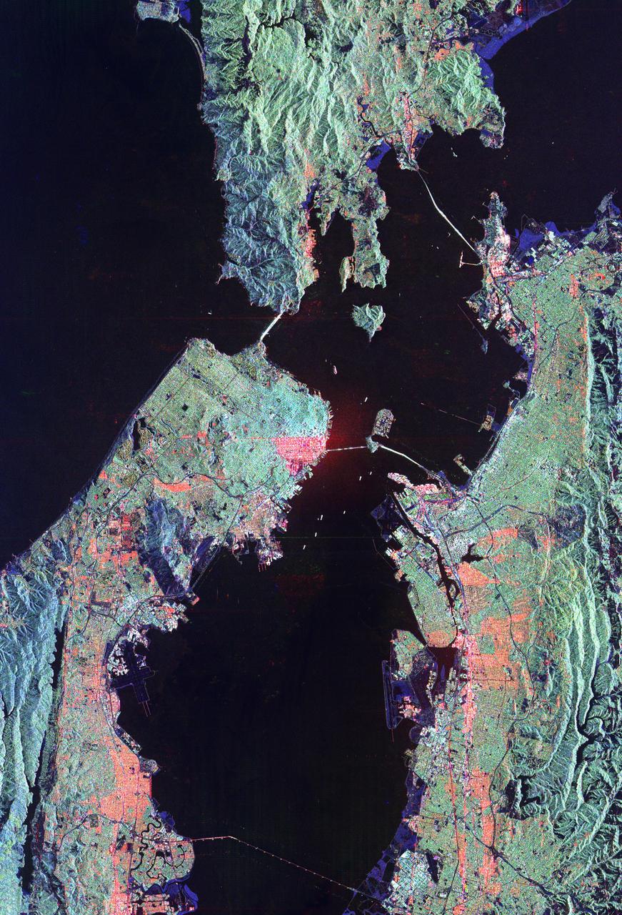
The cities of San Francisco and the East Bay are highlighted in this computer-generated perspective viewed from west of the Golden Gate.
iss073e0420568 (Aug. 3, 2025) --- California's San Francisco Bay Area surrounded by the cities of San Francisico, Oakland, and San Jose, and their suburbs, is pictured from the International Space Station as it orbited 260 miles above the Golden State. Visible landmarks include the Golden Gate Bridge and the Don Edwards San Francisco Bay National Wildlife Refuge.
This radar image acquired by NASA Shuttle Radar Topography Mission SRTM from data collected on February 16, 2000 shows the San Francisco Bay Area in California.
STS039-89-053 (28 April-6 May 1991) --- A 70mm, infrared frame of the city of San Francisco, taken on a clear day. The gray areas represent urban regions, and the red areas are vegetated. Within the city of San Francisco, parks like Golden Gate park and the Presidio at the base of the Golden Gate Bridge easily stand out from the well-developed parts of the city. Major thoroughfares and bridges (Golden Gate and Bay Bridges) are seen as are other landmarks such as Candlestick Park and Alcatraz. The trace of the San Andreas faults show as a straight valley running northerly along the San Francisco peninsula. Good detail is visible in the turbid waters of San Francisco Bay.
iss073e0420567 (Aug. 3, 2025) --- California's San Francisco Bay Area surrounded by the cities of San Francisico, Oakland, and San Jose, is pictured from the International Space Station as it orbited 260 miles above the Golden State. At top, the sun's glint beams off the San Joaquin River in California's Central Valley.
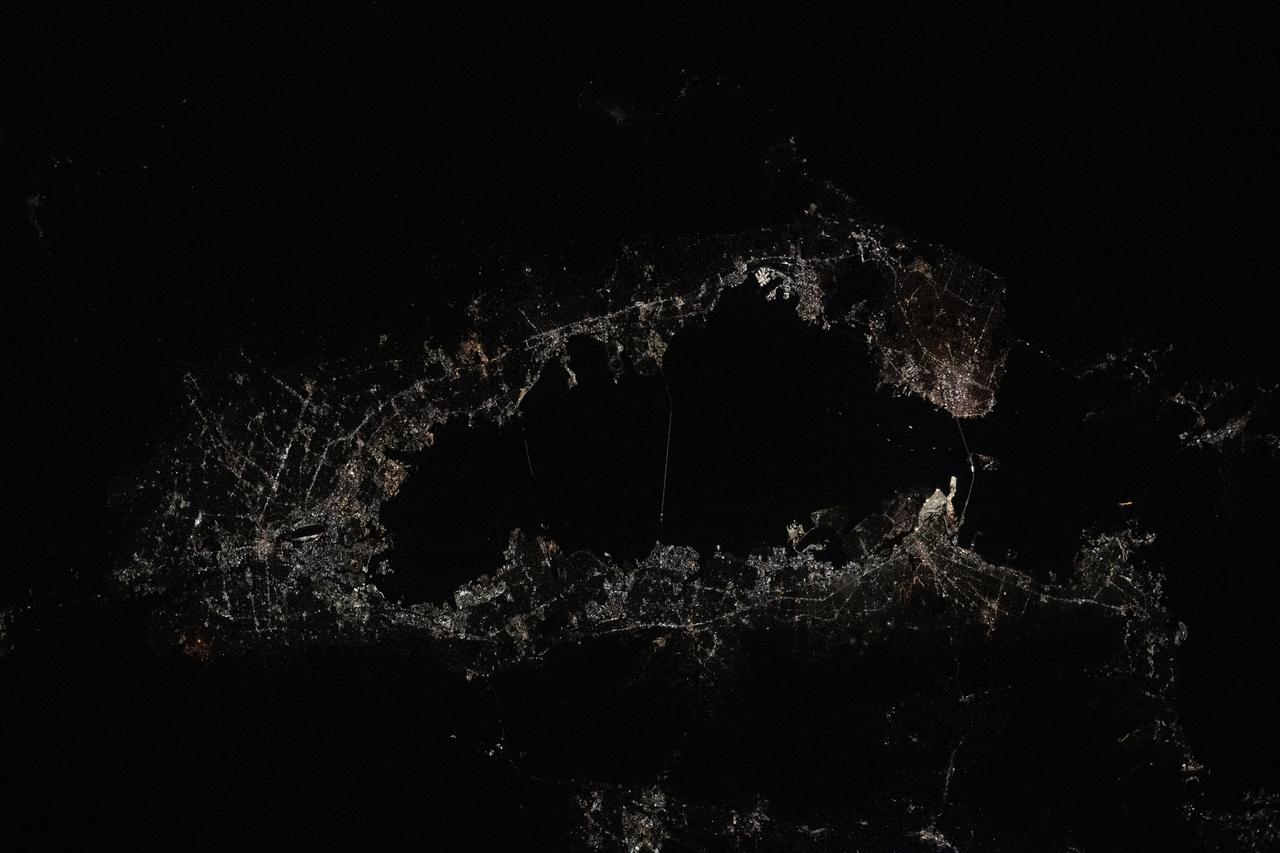
iss073e0285002 (July 4, 2025) --- The city of San Francisco, California, and its suburbs including San Jose and Oakland, surround the San Francisco Bay at approximately midnight local time in this photograph from the International Space Station as it orbited 261 miles above the Golden State.
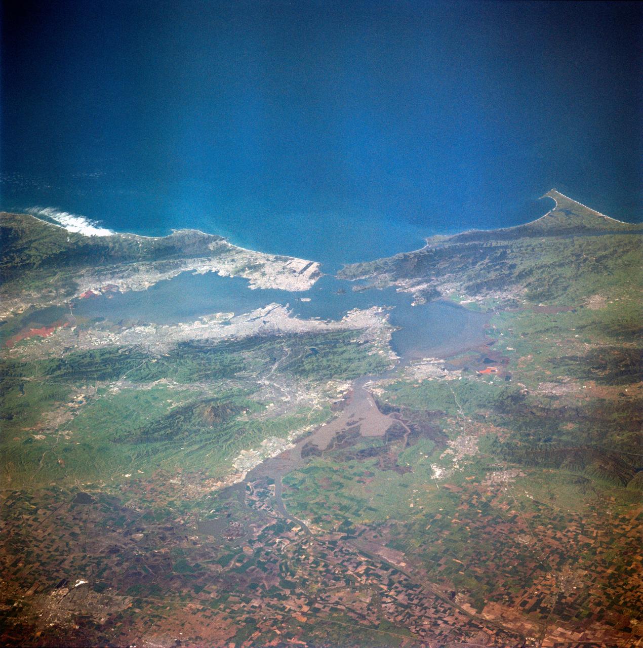
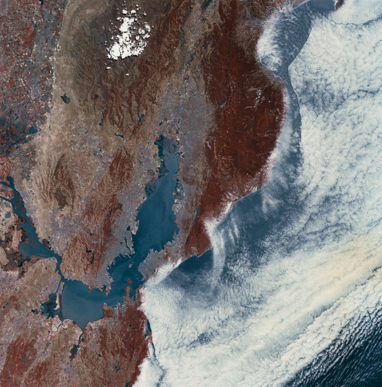
SL4-138-3843 (1 Jan. 1974) --- A part of northern California centered near San Francisco Bay photographed at 3 p.m. Jan. 2, 1974, from the Skylab space station in Earth orbit. This near vertical view encompasses the coastline from Monterey Bay (right) to about 50 miles north of Point Reyes (left) and includes, from bottom to top, San Francisco Bay (center), Sacramento Valley (left center), San Joaquin Valley (right center), and the snow-covered Sierra Nevada. Afternoon shadows sharply delineate a valley which parallels San Francisco Bay, crosses Point Reyes, and lies between the Bay and the Pacific coastline. This valley marks the location of the San Andreas Fault, a major break in the Earth's crust. Forces acting on the crust are causing the land west (bottom) of the fault line to move north relative to land on the east side. The Skylab 4 astronauts photographed major fault zones in South America, New Zealand, Japan and Africa for use in the study of worldwide tectonic system. Agricultural areas in the Sacramento and San Joaquin Valleys are indicated by the tan areas which are easily discerned in contrast to the green-gray background. Photo credit: NASA
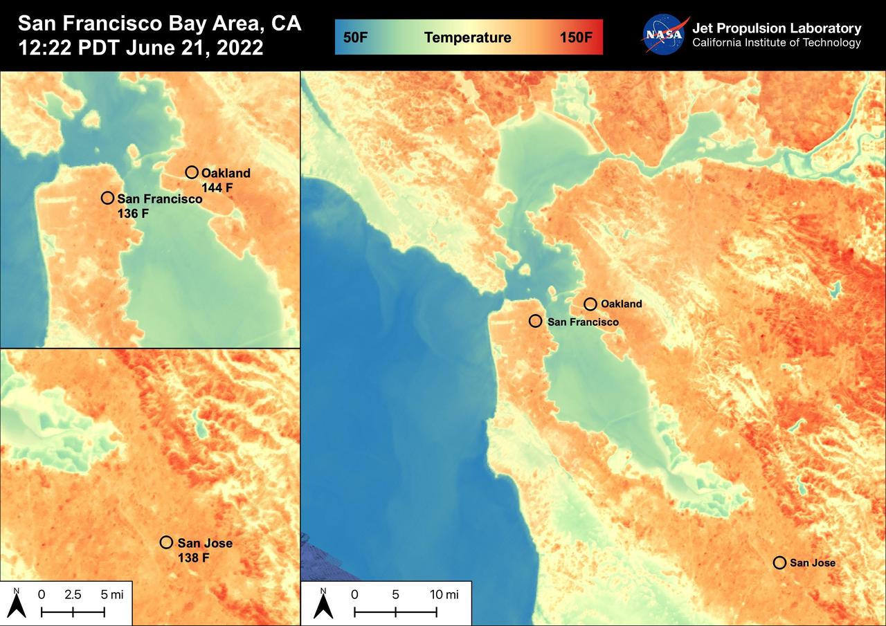
On June 21st, 2022, the San Francisco Bay Area experienced high temperatures as a hot mass of air remained over the region. San Francisco reached 92 degrees Fahrenheit, Oakland reached 98 degrees Fahrenheit, and San Jose reached 102 degrees Fahrenheit. The Land Surface Temperatures at 12:22 PM PDT ranged from 60 degrees Fahrenheit to 150 degrees Fahrenheit for this region with water temperatures ranging from 50 degrees Fahrenheit to 90 degrees Fahrenheit. ECOSTRESS is a thermal instrument on the International Space Station that measures the temperature of the ground, which is hotter than the air temperature during the day. It was launched to the space station in 2018. Its primary mission is to identify critical thresholds of water use and water stress in plants and to detect the timing, location, and predictive factors leading to plant water uptake decline and/or cessation. The nature of the high-resolution data provided by ECOSTRESS allows it to record heat related phenomena such as heat waves, droughts and wildfires. https://photojournal.jpl.nasa.gov/catalog/PIA25441
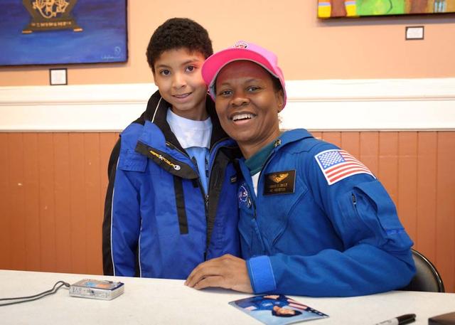
10th Anniversary of Reachout for the Rainbow after School Science Festival highlighting NASA Ames and the Traveling Space Museum exhibits and activities at the South San Francisco Bayview Opera House. NASA Astronaut Yvonne Cagle signing autographs after speaking at event, shown here with Stephen Horsley. photo release on file
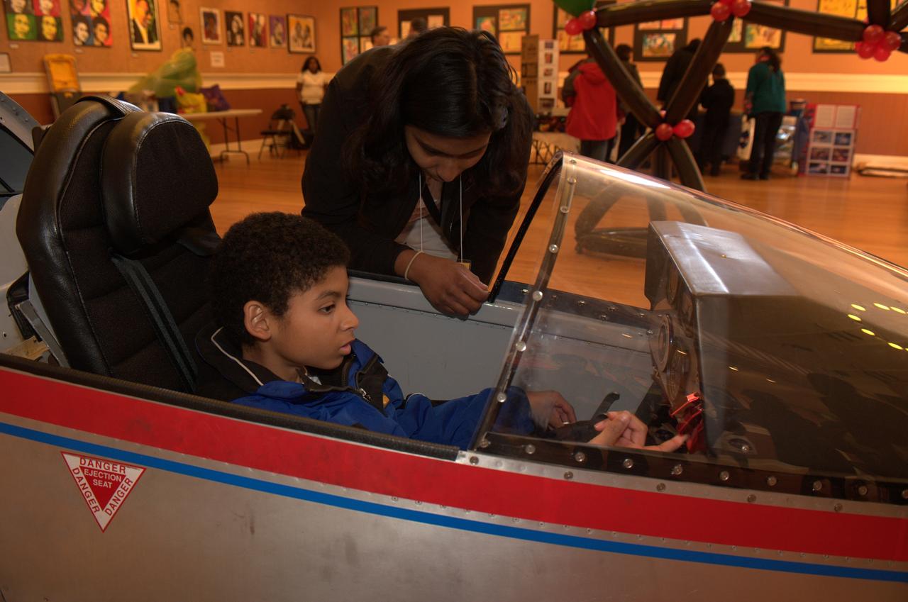
10th Anniversary of Reachout for the Rainbow after School Science Festival highlighting NASA Ames and the Traveling Space Museum exhibits and activities at the South San Francisco Bayview Opera House. Stephen Horsley gets a close up look at the cockpit of one the models provided by the Traveling Space Museum (TCS). photo release on file
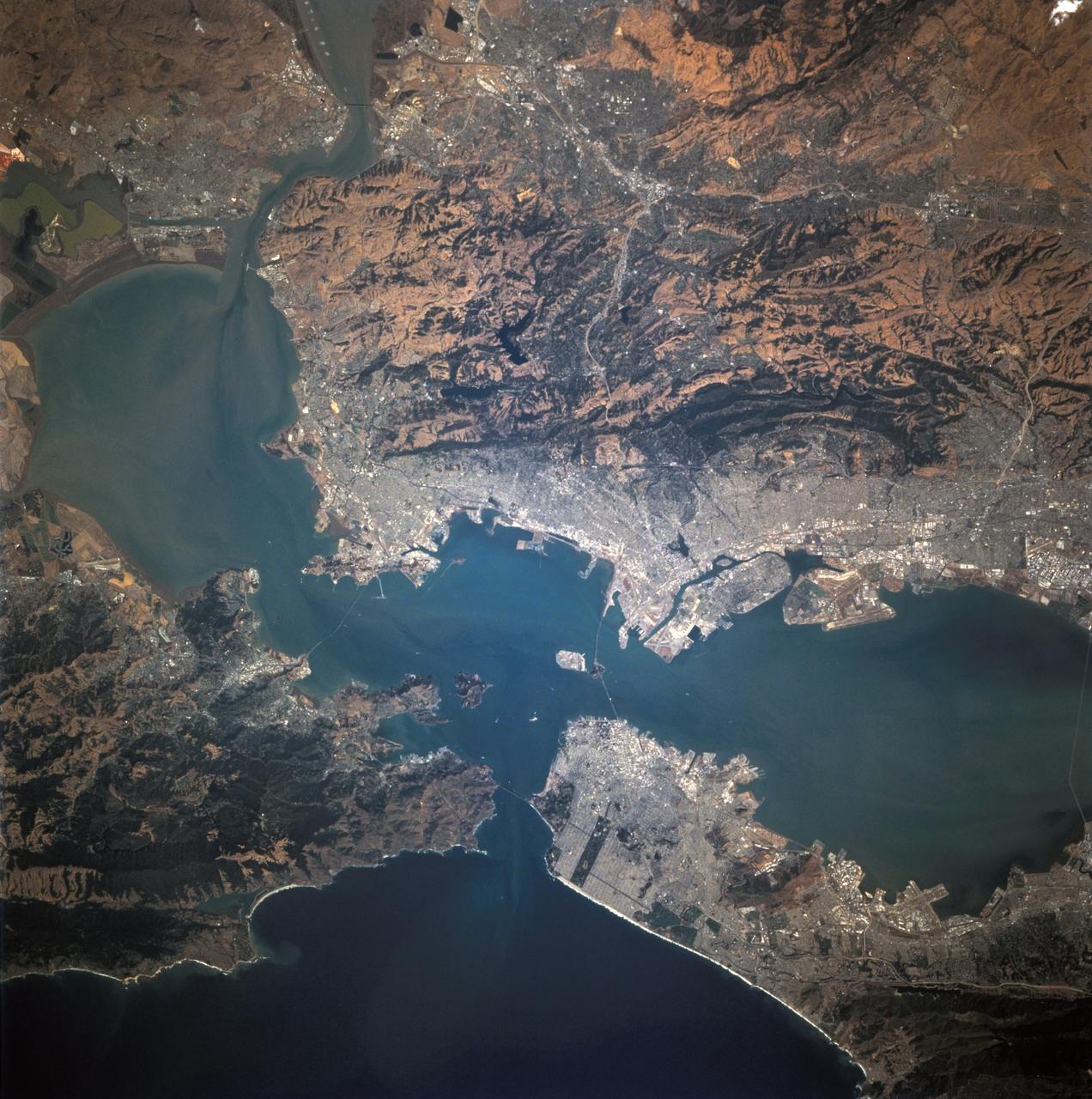
STS040-152-100 (5-14 June 1991) --- Although clouds obscure part of the city of San Francisco and the mouth of San Francisco Bay, development and physiographic features in the immediate vicinity of the bay are well displayed. The photograph clearly shows the eastern part of the city, including the Embarcadero, the Bay Bridge, which was damaged in the 1989 earthquake, and Candlestick Park, San Mateo, and Dumbarton Bridges, cross the southern portion of the bay. Vari-colored salt ponds also rim the southern Bay near Moffett Field. Highway 280 runs along the San Andreas fault south of the city. On the eastern margin of the bay are Berkeley the Sacramento River and the Haywood and Calaveras faults.
STS001-12-305 (12-14 April 1981) --- California, San Francisco Bay photographed by a crew member on the space shuttle Columbia (STS-1). The coast is seen from near Santa Cruz northward to Point Reyes. The great valley is in the foreground. Photo credit: NASA
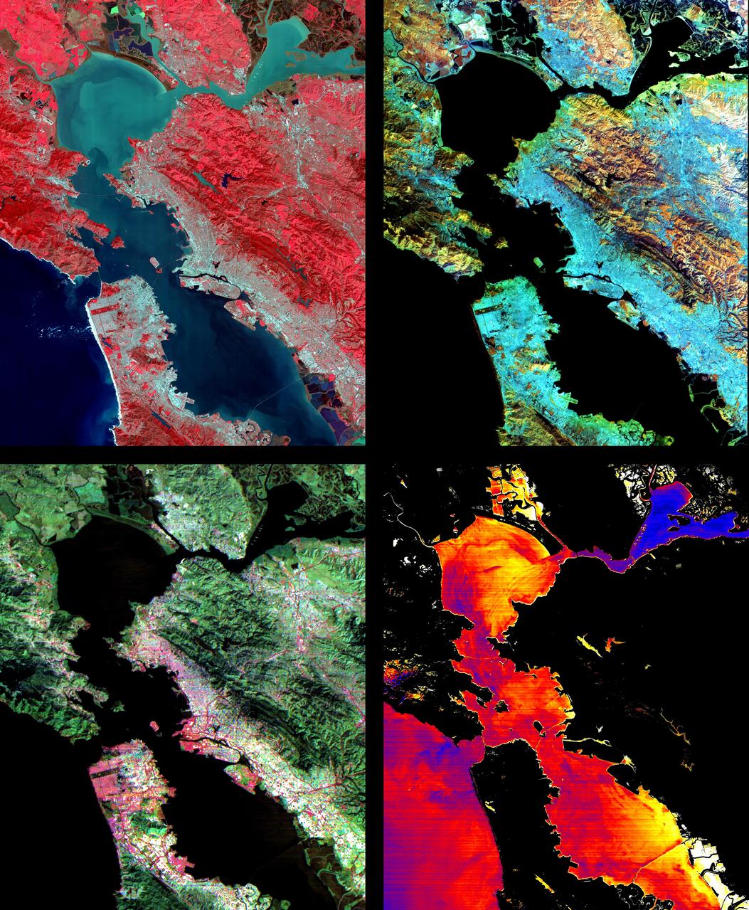
These images of the San Francisco Bay region were acquired on March 3, 2000 by the Advanced Spaceborne Thermal Emission and Reflection Radiometer (ASTER) on NASA's Terra satellite. Each covers an area 60 kilometers (37 miles) wide and 75 kilometers (47 miles) long. With its 14 spectral bands from the visible to the thermal infrared wavelength region, and its high spatial resolution of 15 to 90 meters (about 50 to 300 feet), ASTER will image the Earth for the next 6 years to map and monitor the changing surface of our planet. Upper Left: The color infrared composite uses bands in the visible and reflected infrared. Vegetation is red, urban areas are gray; sediment in the bays shows up as lighter shades of blue. Thanks to the 15 meter (50-foot) spatial resolution, shadows of the towers along the Bay Bridge can be seen. Upper right: A composite of bands in the short wave infrared displays differences in soils and rocks in the mountainous areas. Even though these regions appear entirely vegetated in the visible, enough surface shows through openings in the vegetation to allow the ground to be imaged. Lower left: This composite of multispectral thermal bands shows differences in urban materials in varying colors. Separation of materials is due to differences in thermal emission properties, analogous to colors in the visible. Lower right: This is a color coded temperature image of water temperature, derived from the thermal bands. Warm waters are in white and yellow, colder waters are blue. Suisun Bay in the upper right is fed directly from the cold Sacramento River. As the water flows through San Pablo and San Francisco Bays on the way to the Pacific, the waters warm up. http://photojournal.jpl.nasa.gov/catalog/PIA02605
SL2-03-118 (June 1973) --- An infrared photograph of the San Francisco Bay, California area, taken from the Skylab 1/2 space station in Earth orbit. THE PICTURE SHOULD BE HELD WITH THE CLOUDS AND PACIFIC OCEAN ON THE LEFT. This photograph was taken by one of the six lenses of the Itek-furnished S190-A Multispectral Photographic Facility Experiment in the Multiple Docking Adapter of the space station. Type 2443 film was used. Note the thickly populated and highly developed area around the bay. Among the cities visible in this photograph are San Francisco, Oakland, Berkeley and San Jose. This view extends eastward to show a portion of the San Joaquin Valley. The S190-A experiment is part of the Skylab Earth Resources Experiment Package (EREP). Photo credit: NASA
STS068-244-022 (30 September-11 October 1994) --- (San Francisco, San Pablo Bay Area) Photographed through the Space Shuttle Endeavour's flight deck windows, the heavily populated bay area is featured in this 70mm frame. The relatively low altitude of Endeavour's orbit (115 nautical miles) and the use of a 250mm lens on the Hasselblad camera allowed for capturing detail in features such as the Berkeley Marina (frame center). The region's topography is well depicted with the lowland areas heavily populated and the hills much more sparsely covered. The Oakland Hills in the right lower center appear to be re-vegetated after a devastating fire. The Golden Gate Recreation Area in the upper left also shows heavy vegetation. The three bridges across the main part of the bay and their connecting roads are prominent. Cultural features such as Golden Gate Park and the Presidio contrast with the gray of the city.
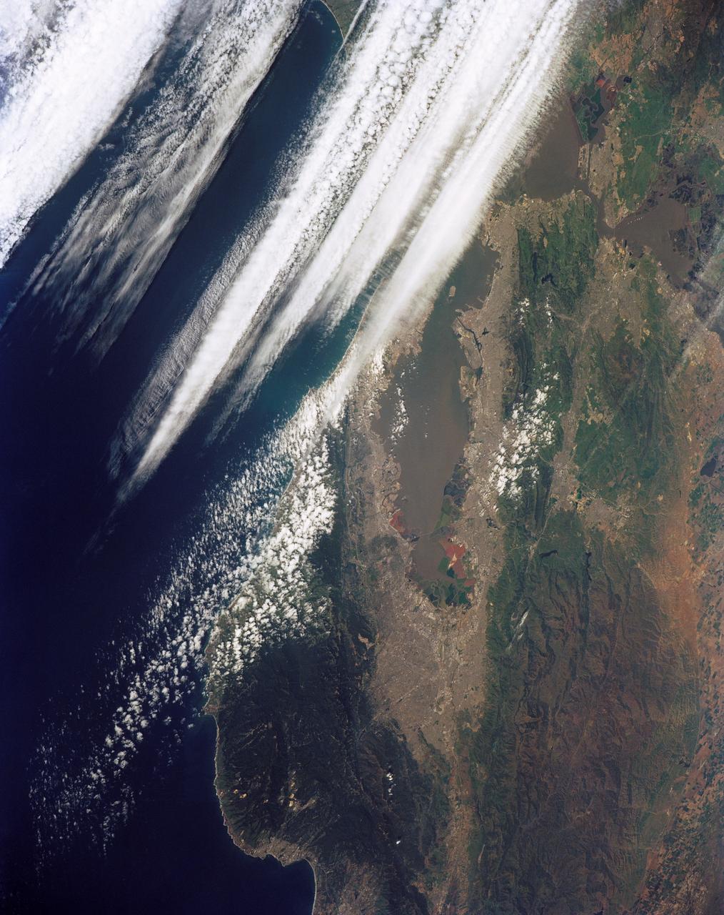
STS039-151-181A (28 April-6 May 1991) --- Large format (five-inch) frame of the San Francisco/Oakland Bay Area of northern California. Stratus clouds at 35,000 feet and cumulus clouds at about 15,000 feet are seen over the Pacific Coast, obscuring the Golden Gate Bridge.
STS059-213-009 (9-20 April 1994) --- San Francisco Bay. Orient with the sea up. The delta of the combined Sacramento and San Joaquin Rivers occupies the foreground, San Francisco Bay the middle distance, and the Pacific Ocean the rest. Variations in water color caused both by sediment load and by wind streaking strike the eye. Man-made features dominate this scene. The Lafayette/Concord complex is left of the bay head, Vallejo is to the right, the Berkeley/Oakland complex rims the shoreline of the main bay, and San Francisco fills the peninsula beyond. Salt-evaporation ponds contain differently-colored algae depending on salinity. The low altitude (less than 120 nautical miles) and unusually-clear air combine to provide unusually-strong green colors in this Spring scene. Hasselblad camera.
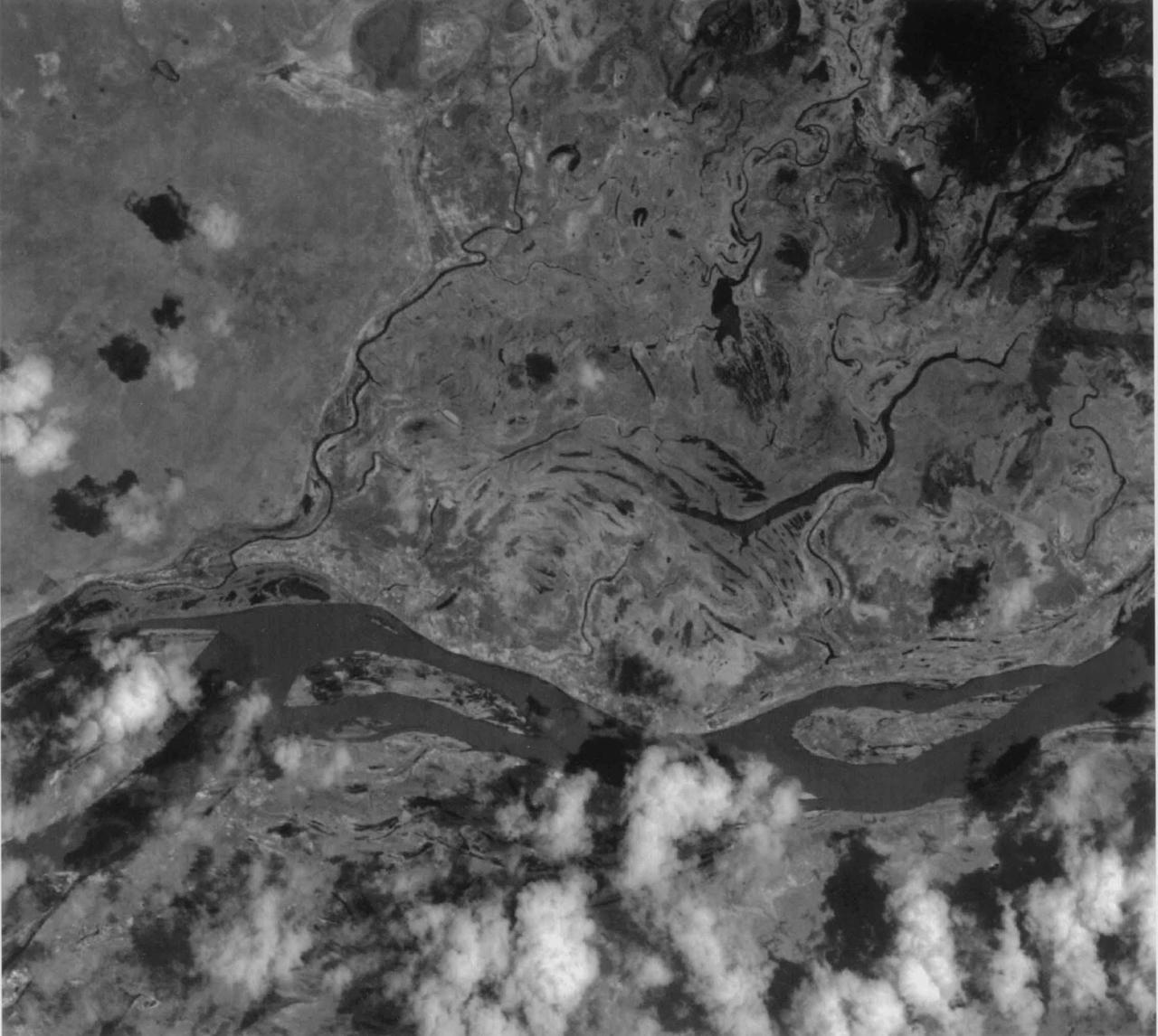
This image of the San Francisco River channel, and its surrounding flood zone, in Brazil was acquired by band 3N of ASTER's Visible/Near Infrared sensor. The surrounding area along the river channel in light gray to white could be covered by dense tropical rain forests. The water surface of the San Francisco River shows rather gray color as compared to small lakes and tributaries, which could indicate that the river water is contaminated by suspended material. The size of image: 20 km x 20 km approx., ground resolution 15 m x 15 m approximately. http://photojournal.jpl.nasa.gov/catalog/PIA02451
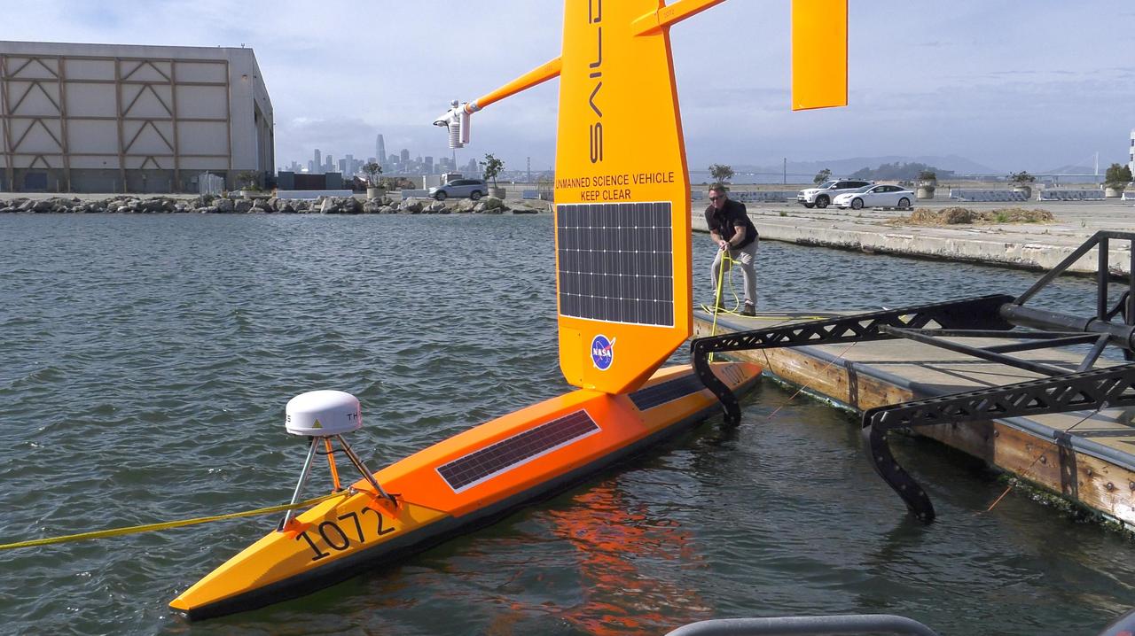
As part of NASA's Sub-Mesoscale Ocean Dynamics Experiment (S-MODE) field campaign, several Saildrones like the one pictured here were launched from San Francisco Bay. The Saildrones were part of a fleet of autonomous marine research vessels designed to measure a vast array of factors such as ocean currents, wind speed and direction, air and water temperature, salinity, dissolved oxygen, and chlorophyll content. S-MODE is a NASA Earth mission to use newly developed in-situ and remote-sensing techniques to look at small-scale ocean whirlpools, eddies, and currents. The observations could help scientists better understand how these dynamics drive the give-and-take of material and energy between the ocean and atmosphere and, ultimately, help shape Earth's climate. More information about S-MODE is at https://espo.nasa.gov/s-mode/content/S-MODE https://photojournal.jpl.nasa.gov/catalog/PIA25523
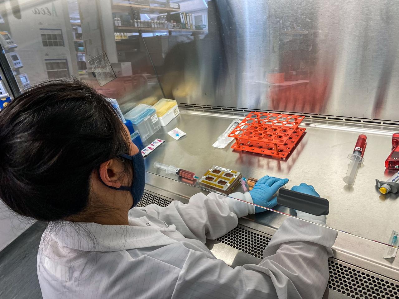
jsc2022e042486 (2/2/2022) --- Xiaomeng Hu conducts an Experiment Verification Test (EVT) in preparation for the Microgravity as a Model for Immunological Senescense and its Impact on Tissue Stem Cells and Regeneration (Immunosenescence) investigation. Image courtesy of the University of California San Francisco UCSF.
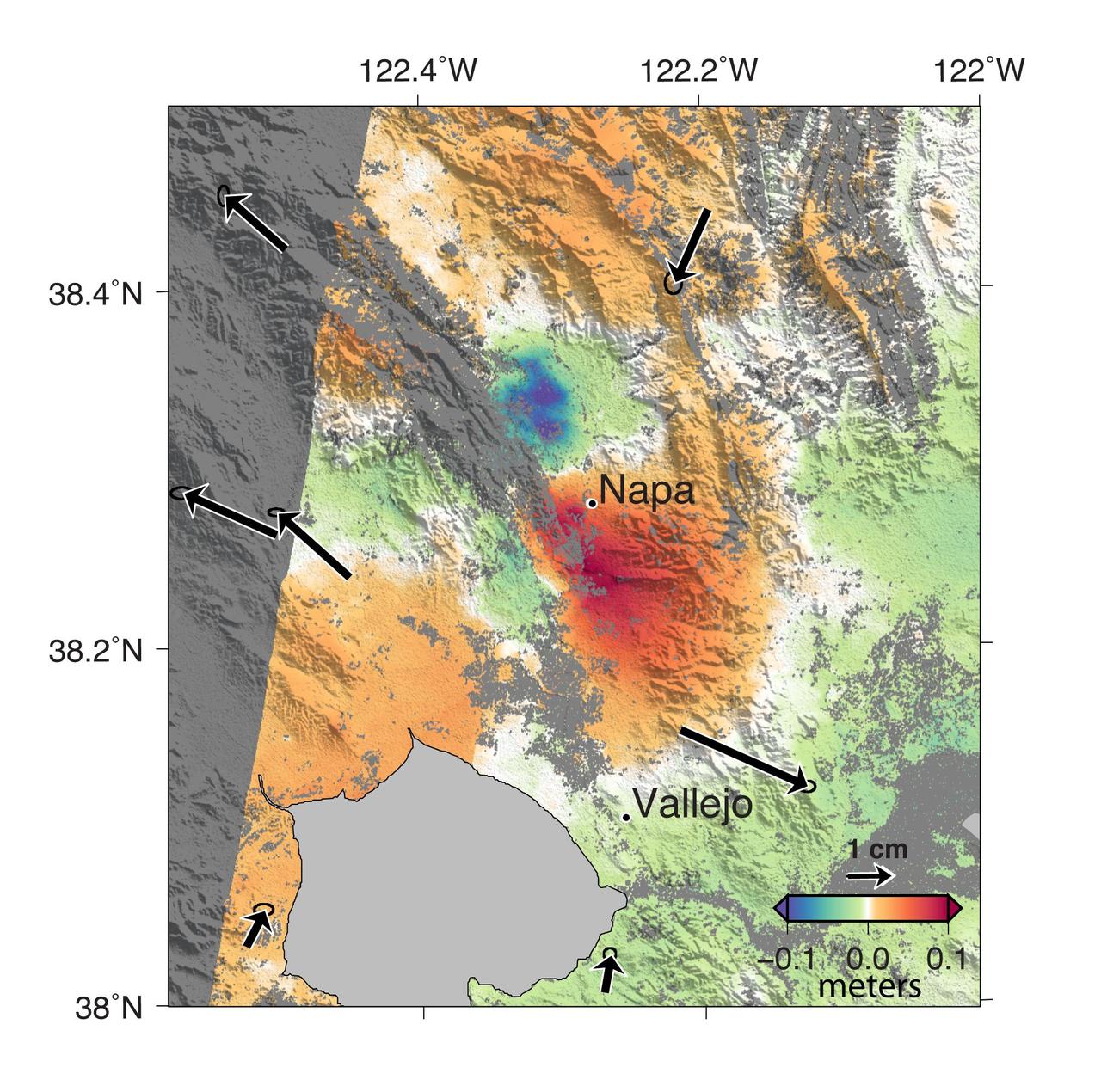
A magnitude 6.0 earthquake struck southern Napa county northeast of San Francisco, California, on Aug. 24, 2014. NASA satellite data reveal ground defomation.
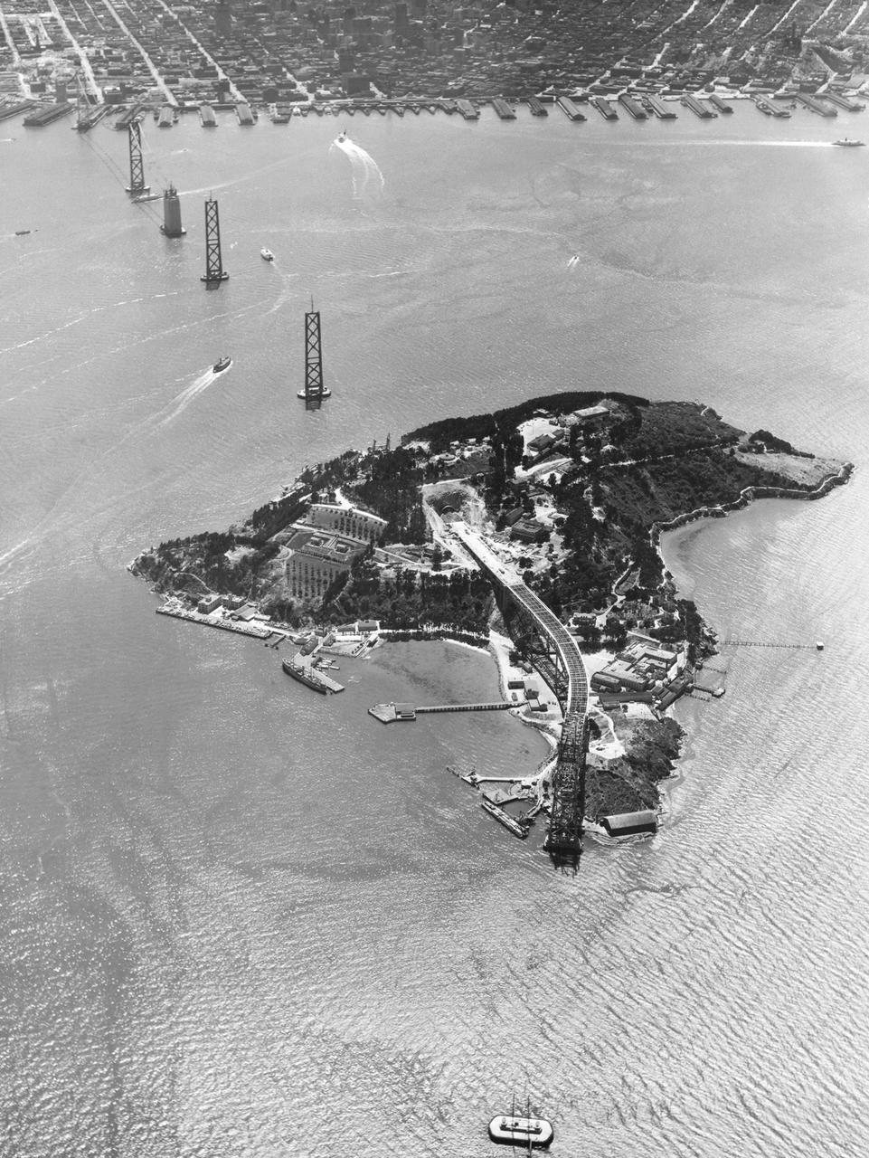
Navy Aerial of San Francisco Bay, California; Yerba Buena Island (Treasure Island) showing construction of San Francisco Bay Bridge
Data from JPL Advanced Spaceborne Thermal Emission and Reflection Radiometer instrument on NASA Terra satellite provides views of the L.A. Basin, San Francisco Bay and more.
These images, taken by the MISR instrument aboard NASA Terra spacecraft , are centered over the Pacific Ocean, about 1600 kilometers west of San Francisco. 3D glasses are necessary to view this image.
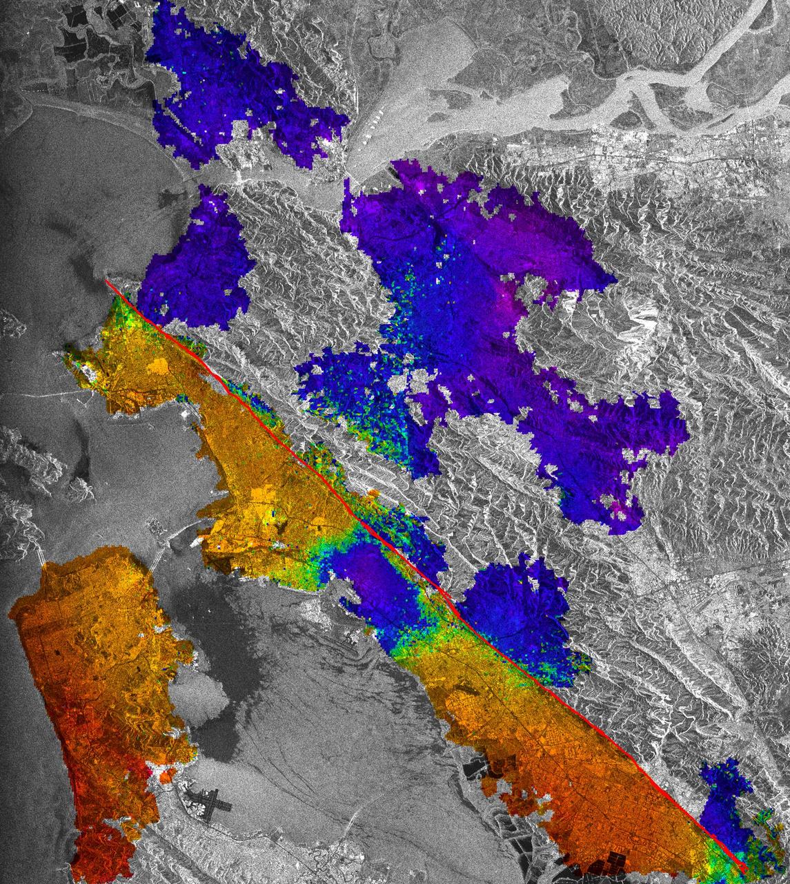
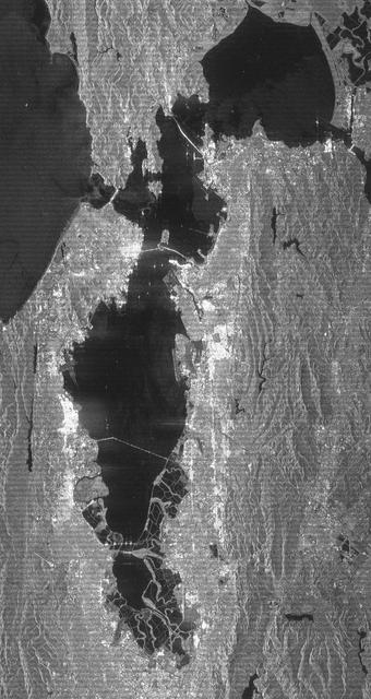
This image of California Hayward fault is an interferogram created using a pair of images taken by ESA ERS-1 and ERS-2 in June 1992 and September 1997 over the central San Francisco Bay in California.

iss060e003624 (July 4, 2019) --- The International Space Station was orbiting off the coast of California when an Expedition 60 crewmember photographed San Francisco Bay, Treasure Island, Oakland and a cloud-covered San Francisco.
iss067e123245 (June 10, 2022) --- Portions of the cities of Oakland and San Francisco (upper left) on San Francisco Bay and San Pablo Bay in California are pictured from the International Space Station as it orbited 263 miles above Monterey Bay in the Golden State.
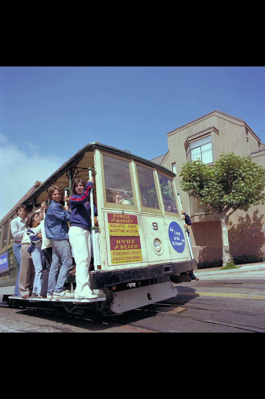
Recruiting Brochure: The San Francisco's Cable Car
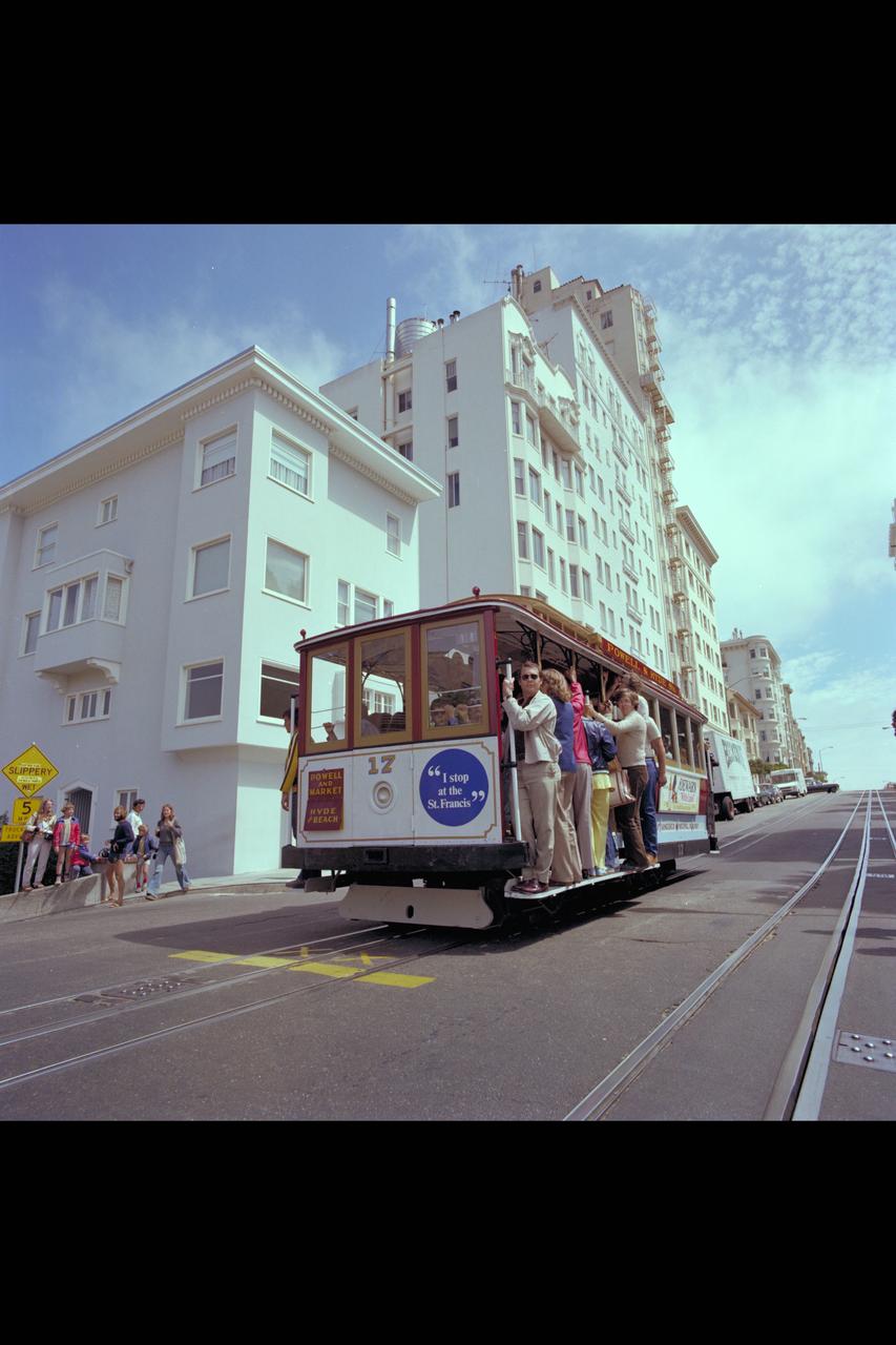
Recruiting Brochure: The San Francisco's Cable Car
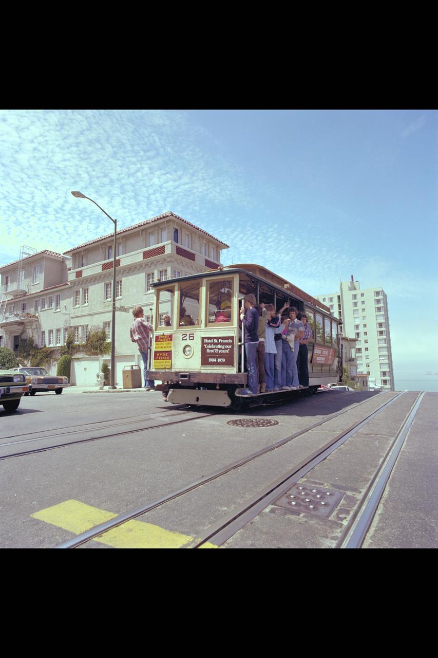
Recruiting Brochure: The San Francisco's Cable Car

Recruiting Brochure: The San Francisco's Cable Car
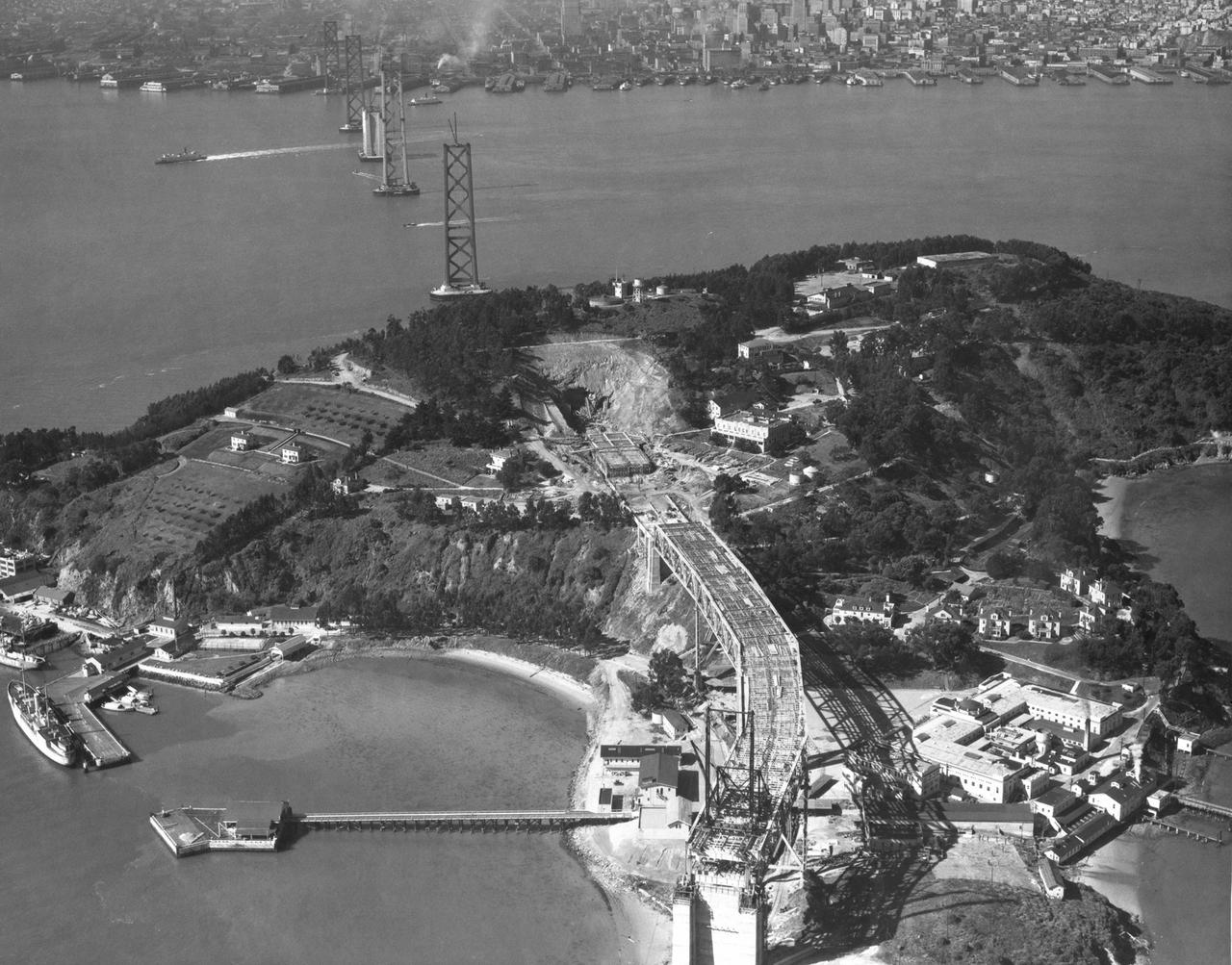
Navy San Franciso Bay Bridge Construction (looking west) toward San Francisco Yerba Buena Island in foreground
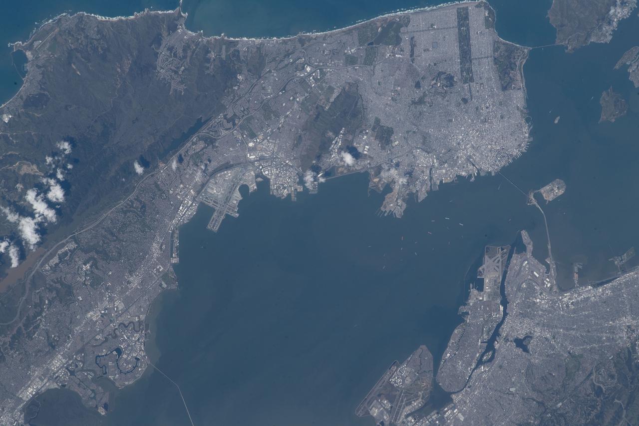
iss069e000857 (April 4, 2023) --- The California cities of San Francisco (top) and Oakland (bottom) separated by San Francisco Bay were pictured by NASA astronaut and Expedition 69 Flight Engineer Woody Hoburg from the International Space Station as it orbited 262 miles above.
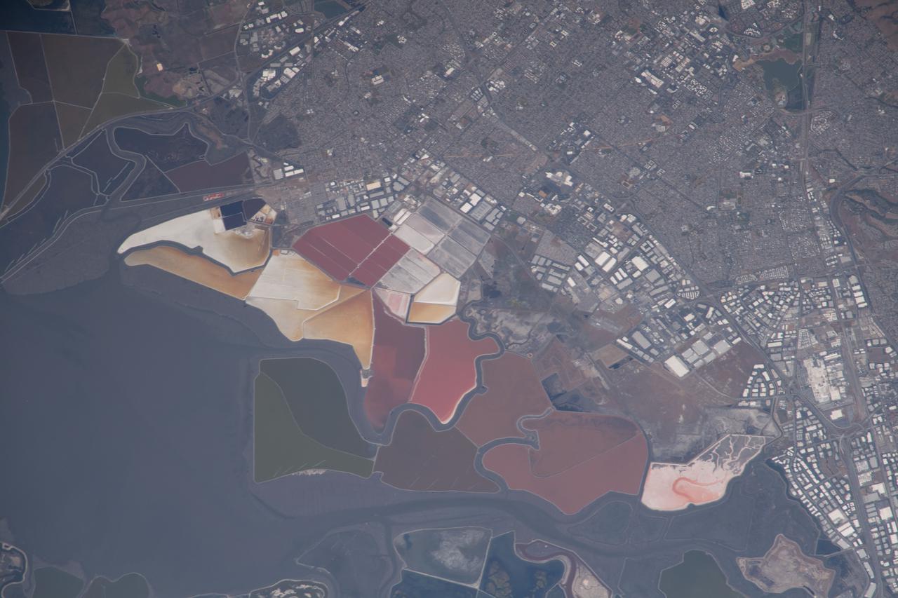
iss065e007130 (April 27, 2021) --- The southern end of San Francisco Bay hosts Don Edwards San Francisco Bay National Wildlife Refuge and is surrounded by the California cities of Newark and Baylands. This photograph was taken from the International Space Station as it orbited 263 miles above the Pacific Ocean near the coast.
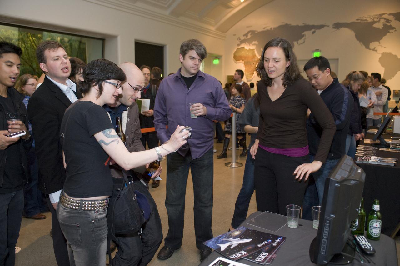
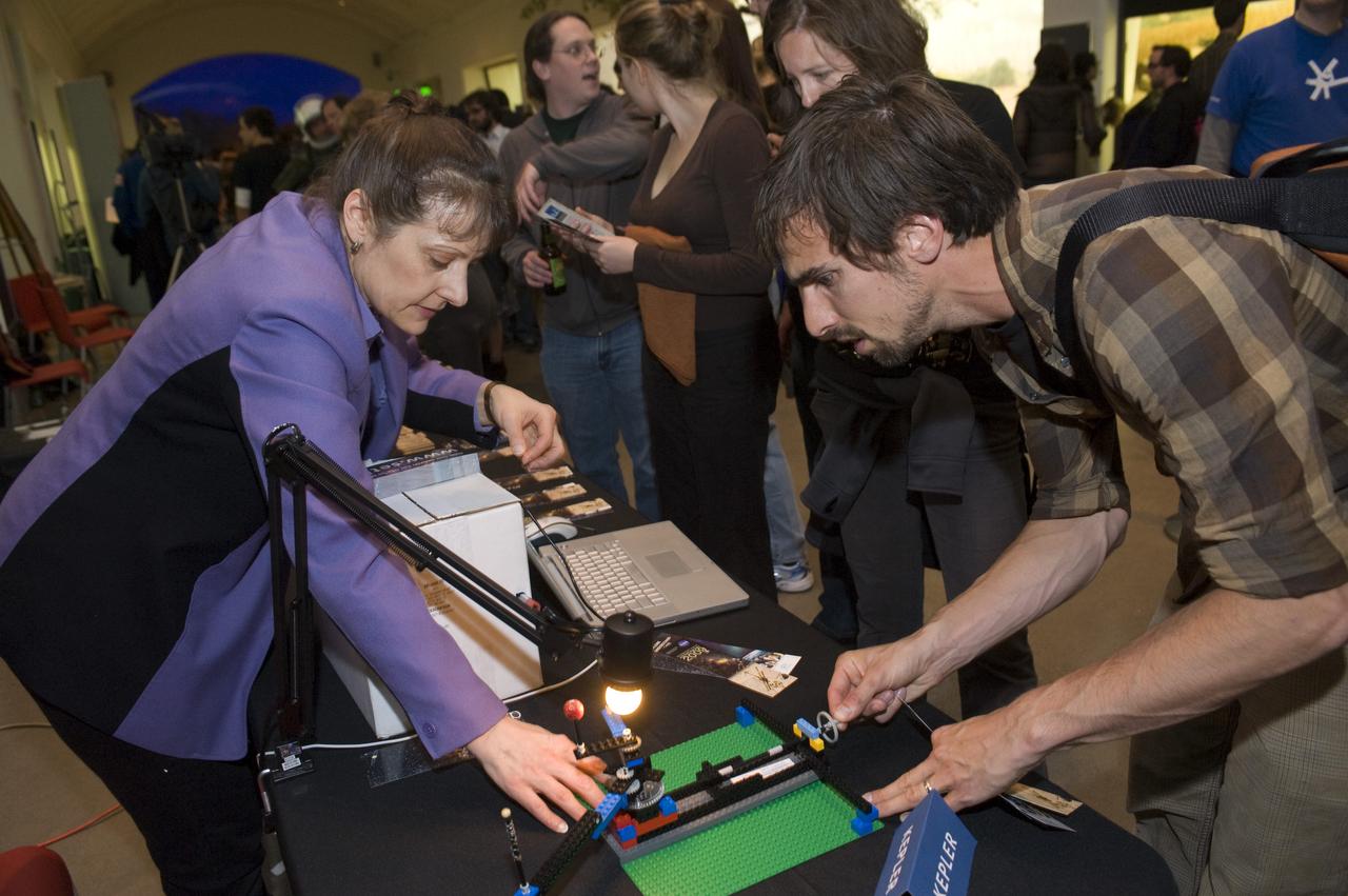
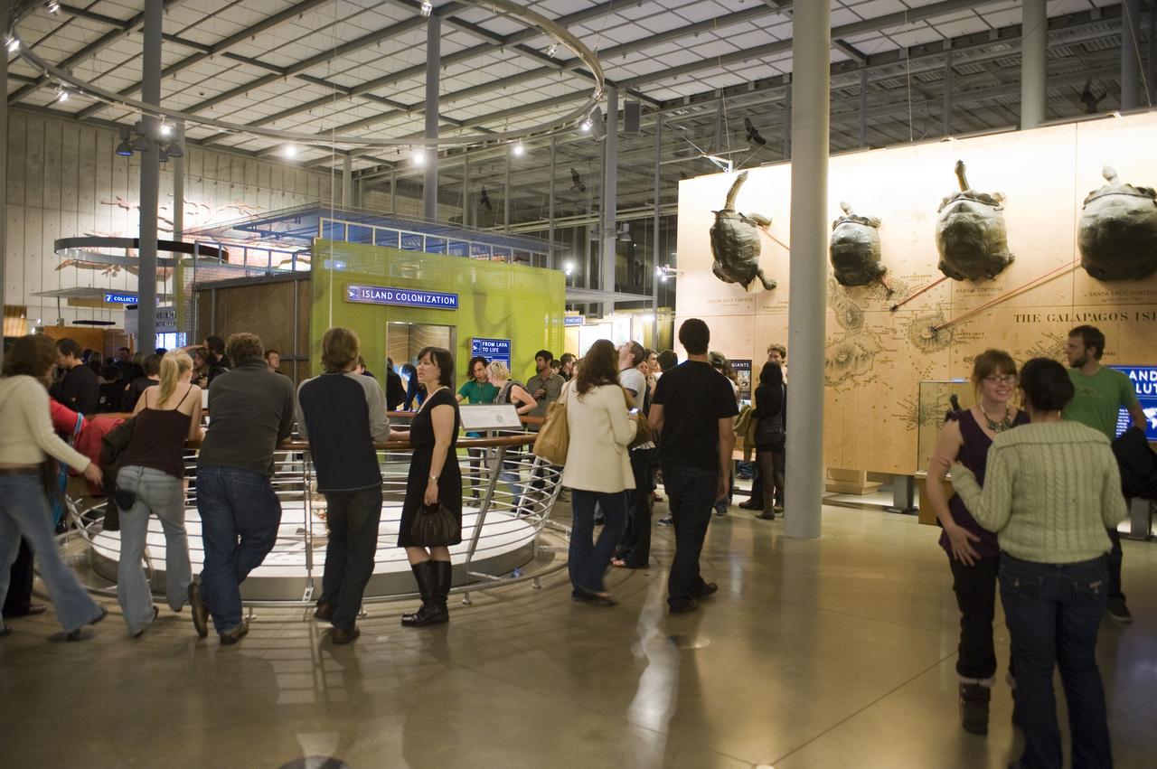
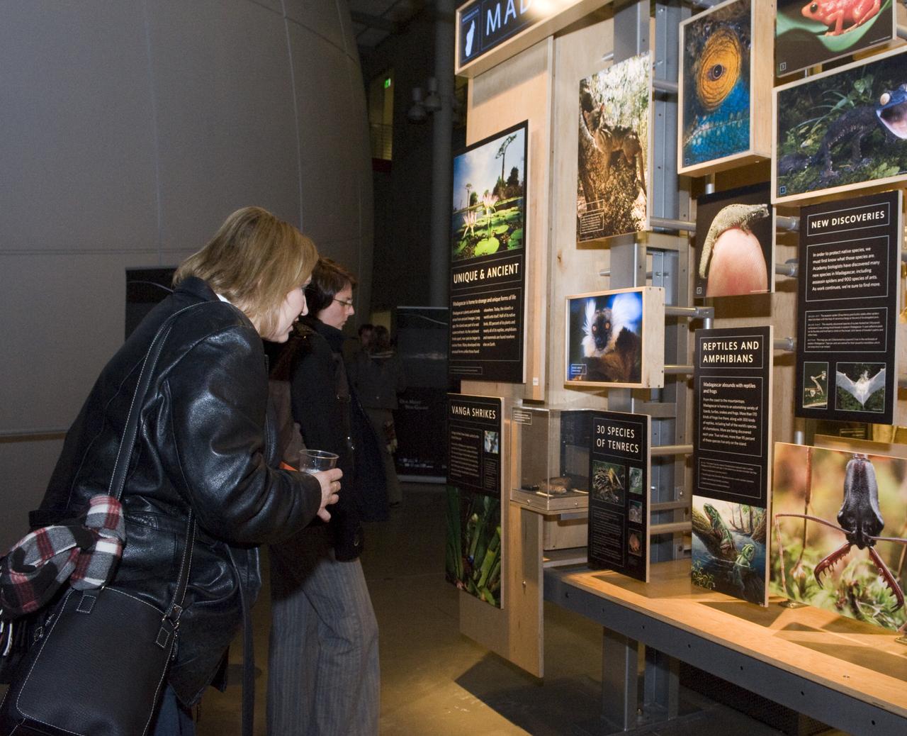
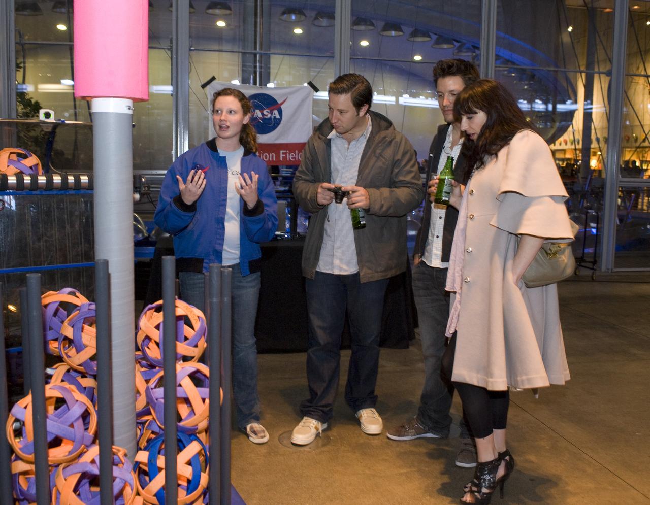
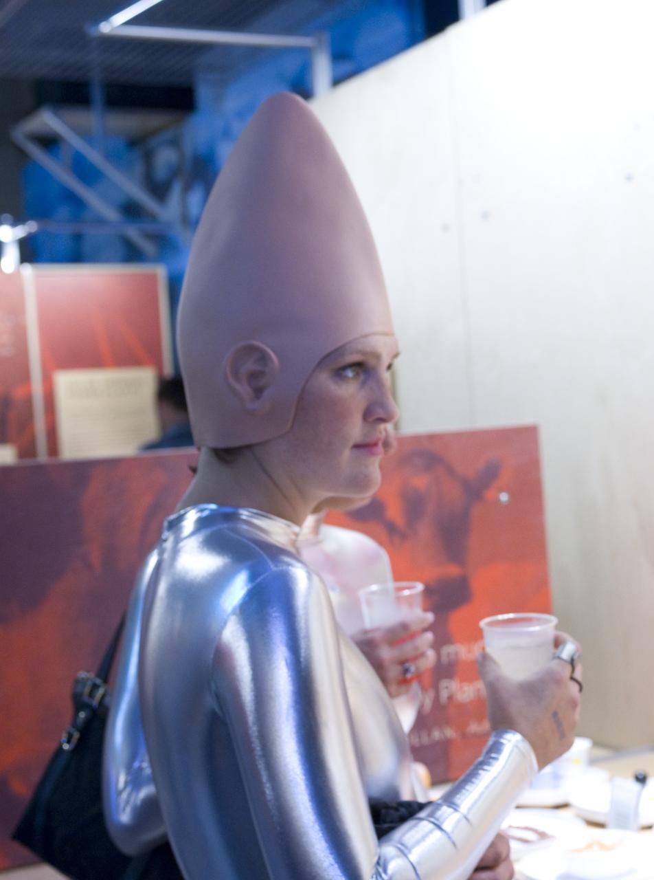
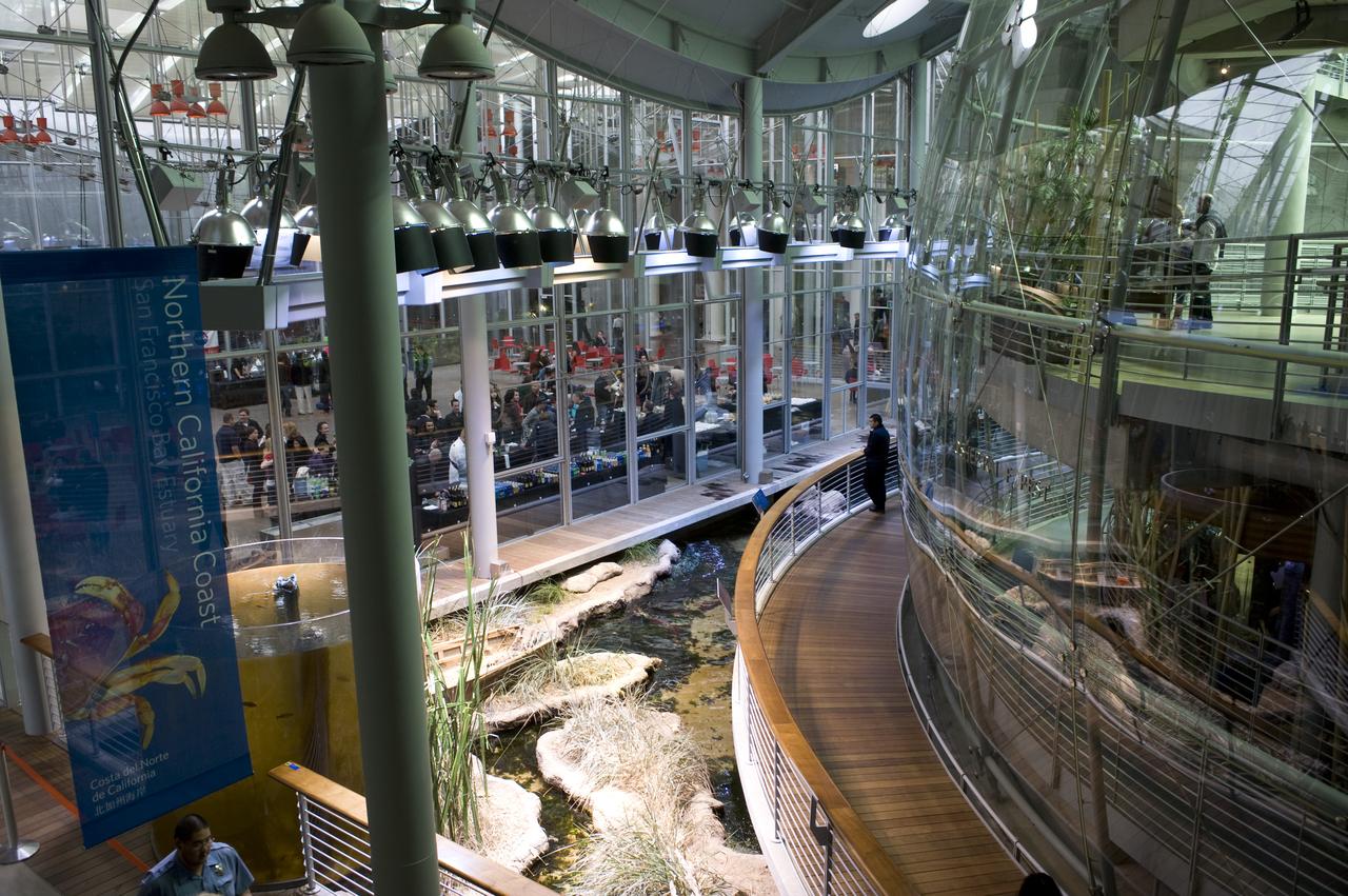
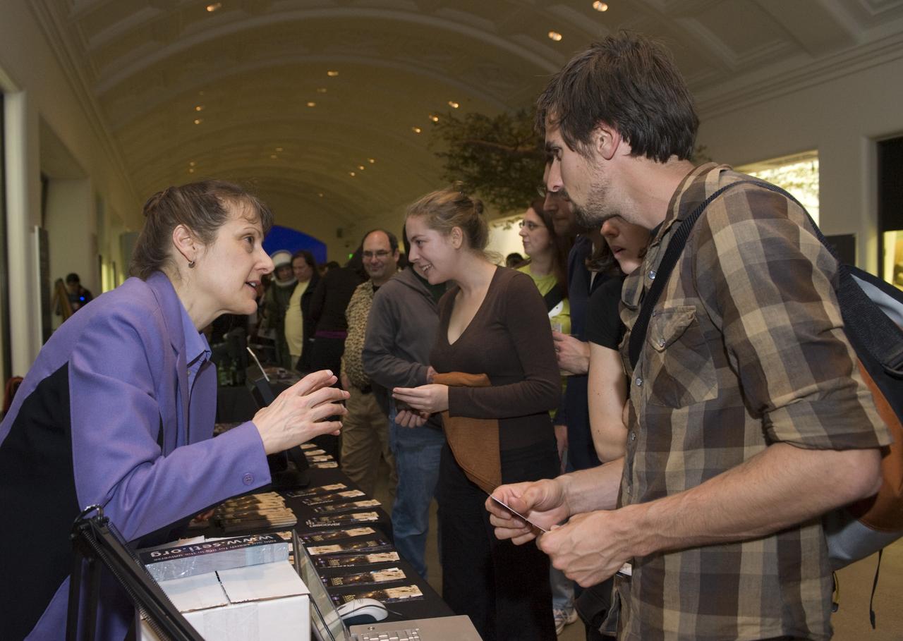
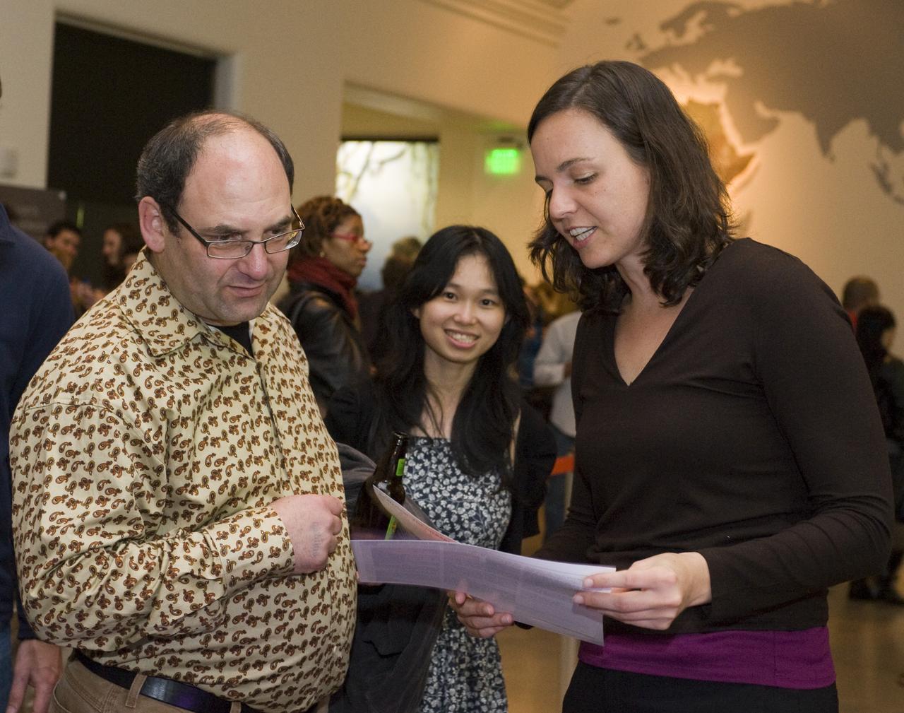
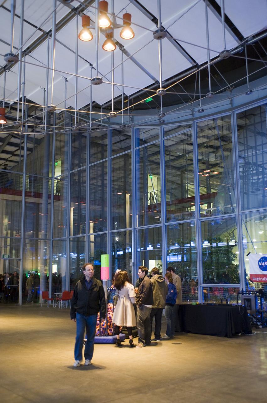
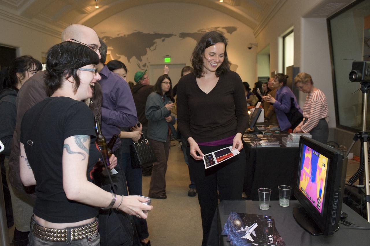
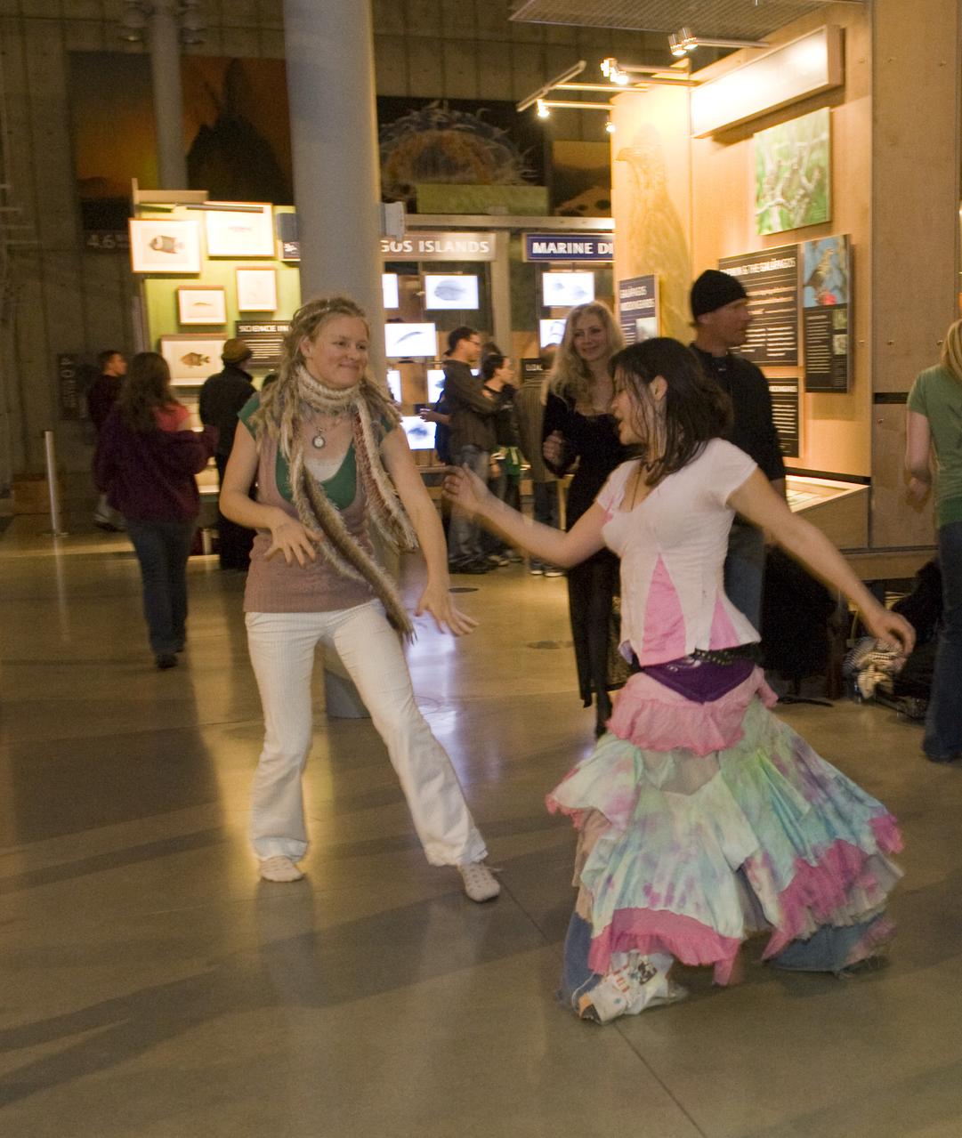
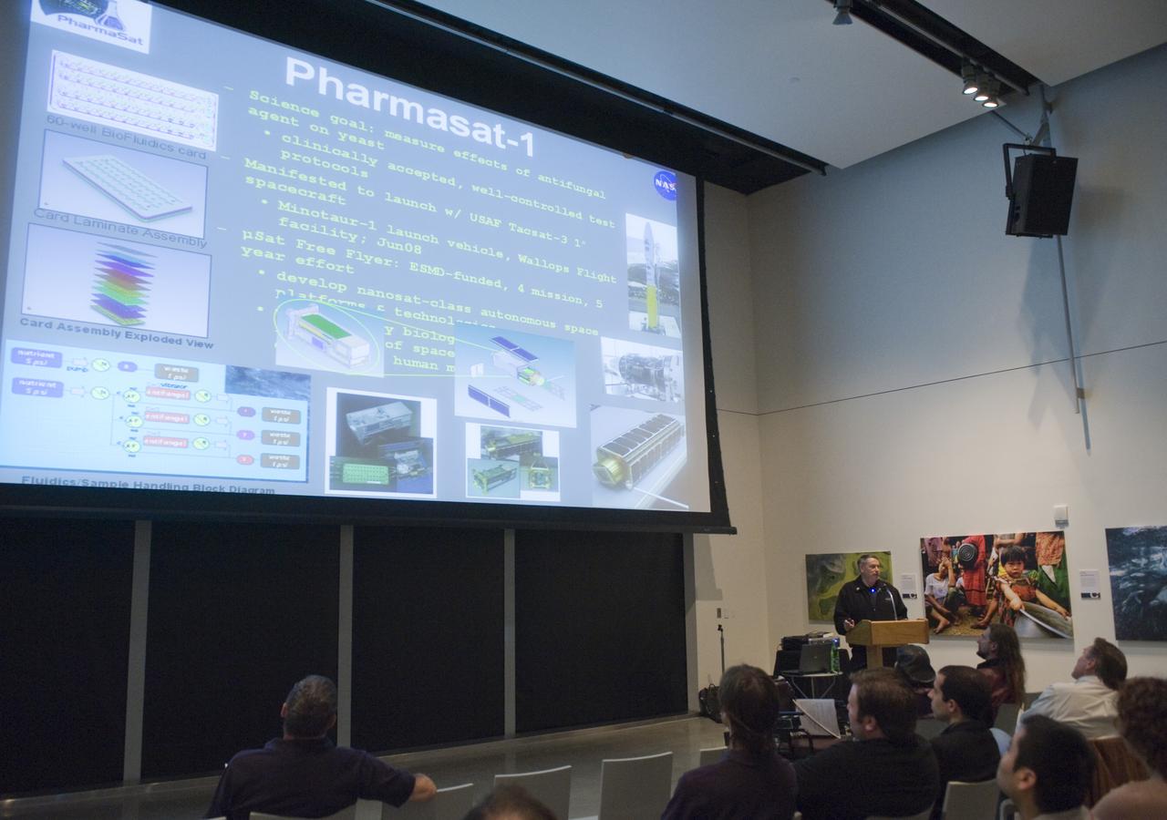
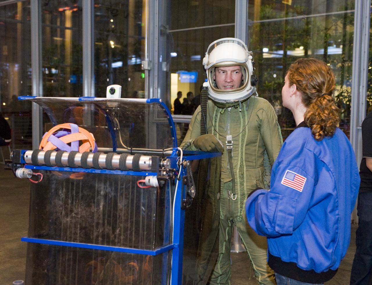
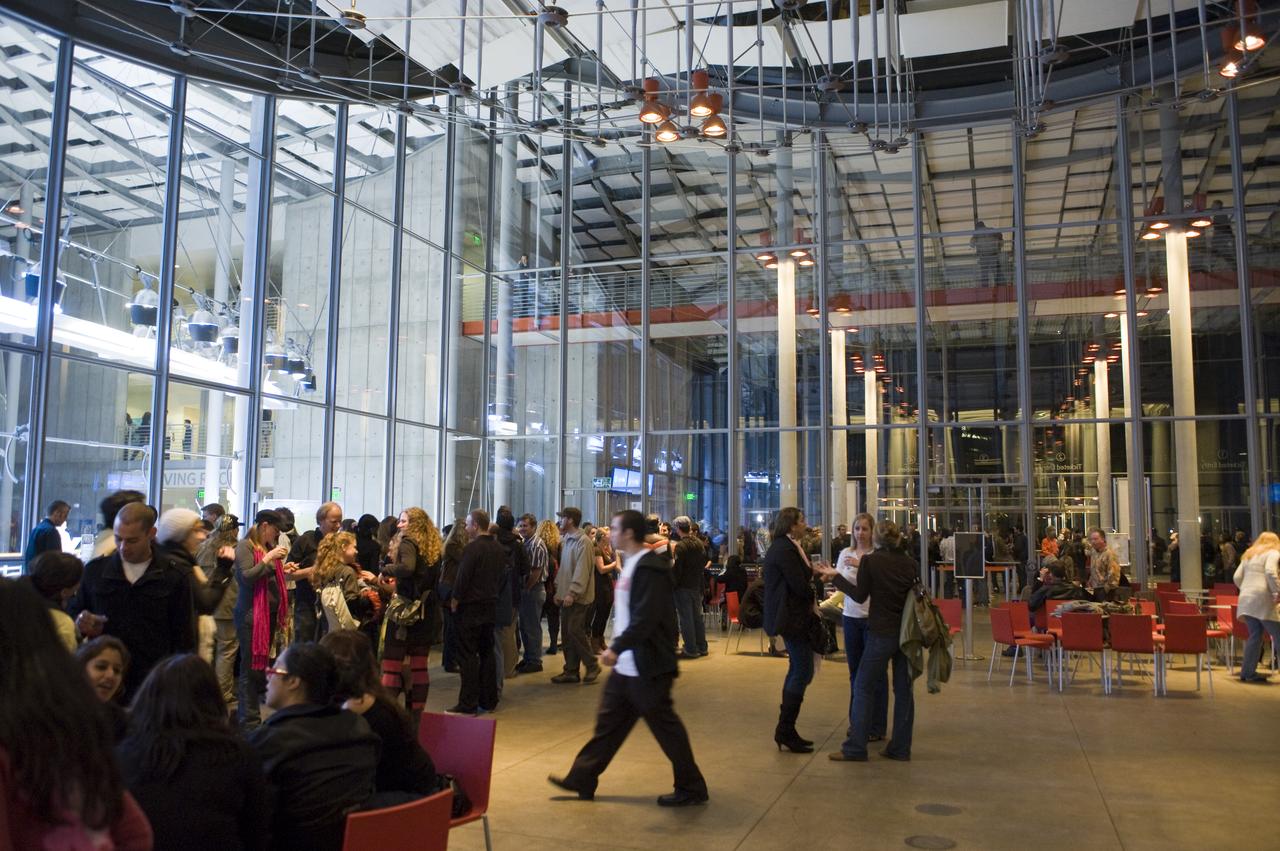
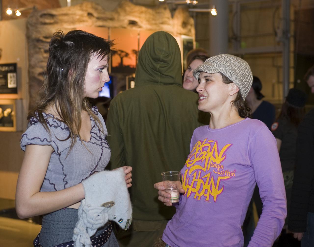
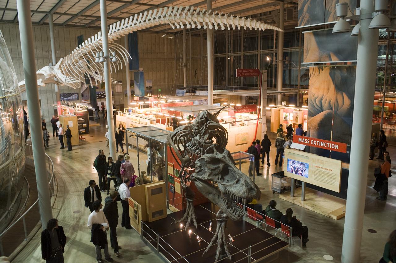
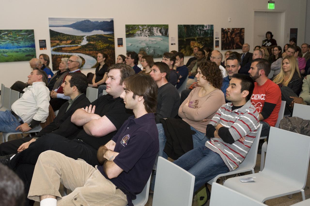
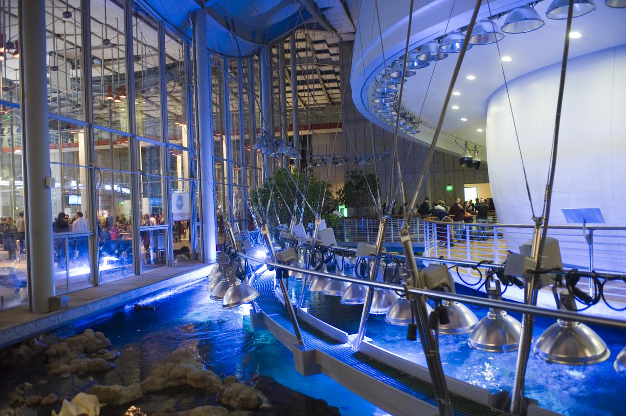
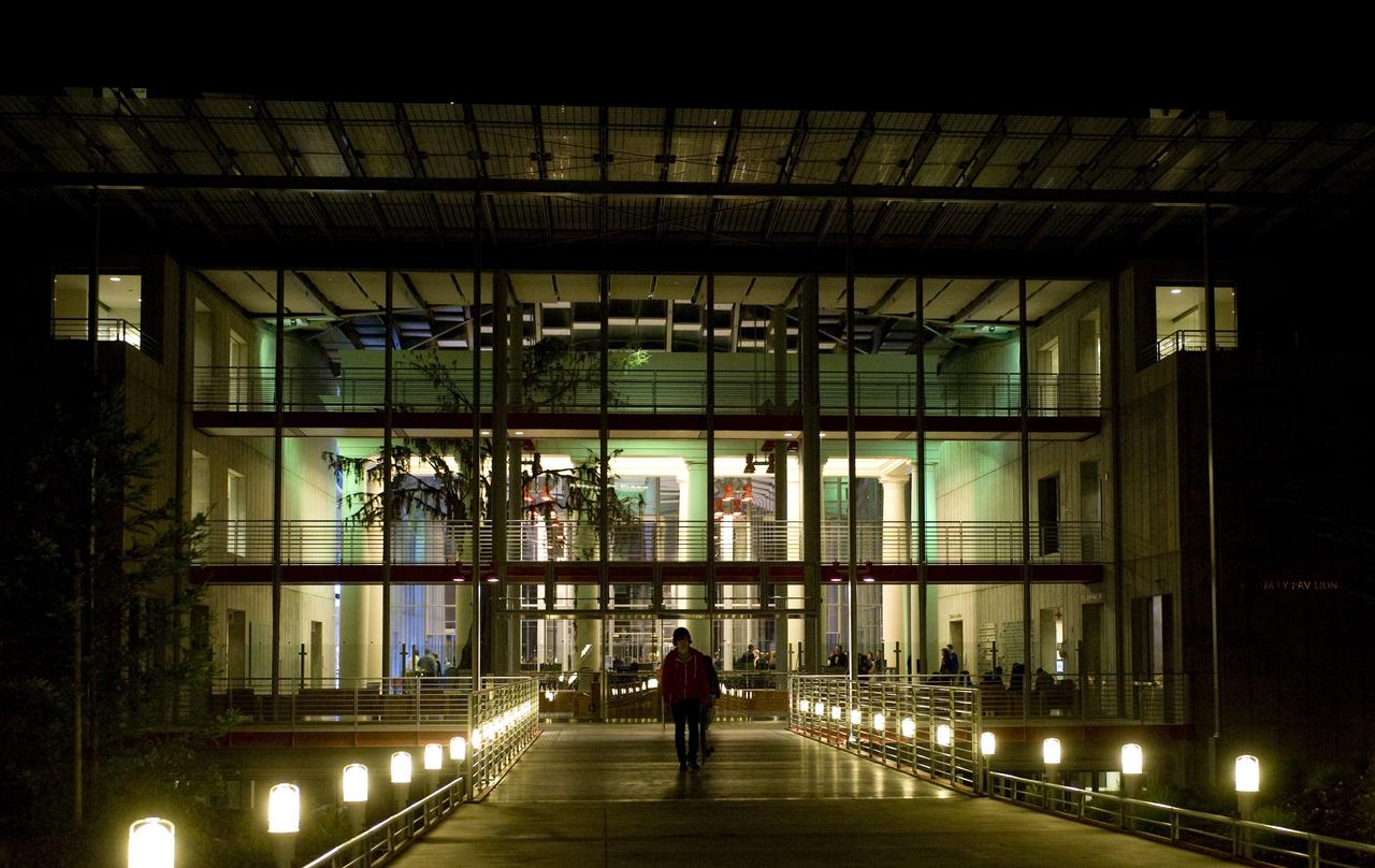
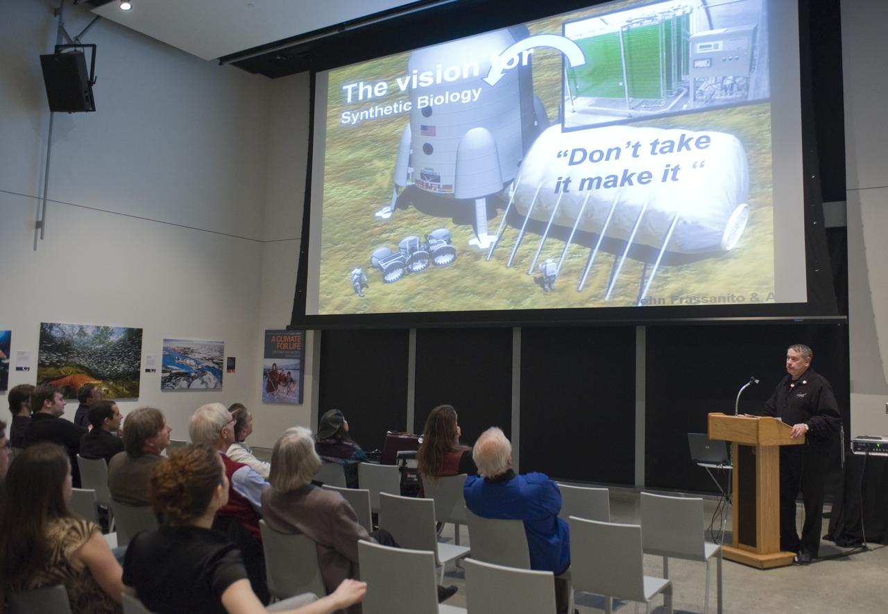
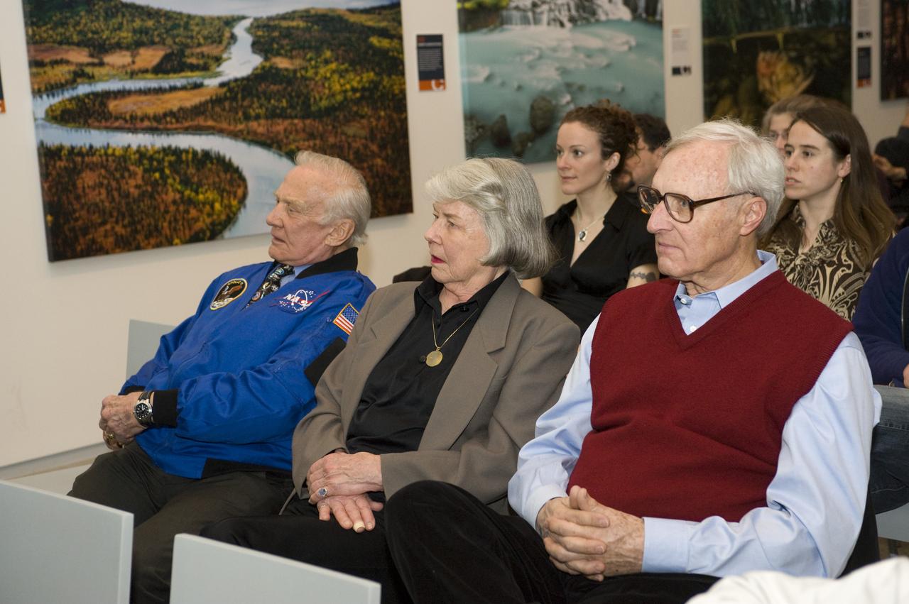
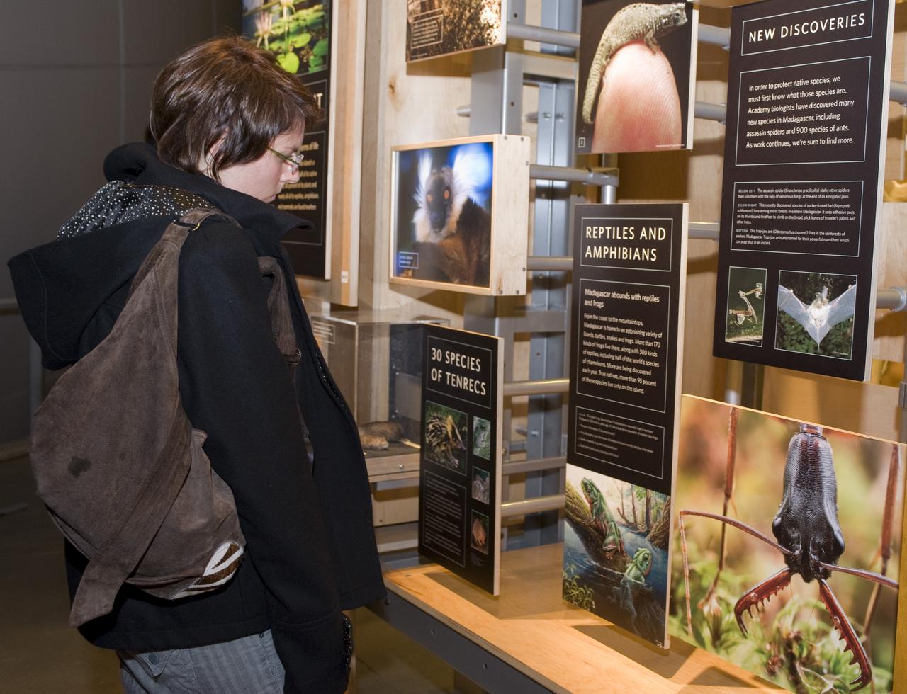
Yuri's Night 2009 held at the California Acaemy of Sciences in San Francisco, California
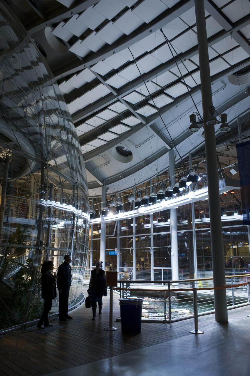
Yuri's Night 2009 held at the California Acaemy of Sciences in San Francisco, California
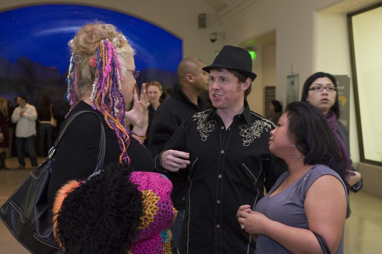
Yuri's Night 2009 held at the California Acaemy of Sciences in San Francisco, California
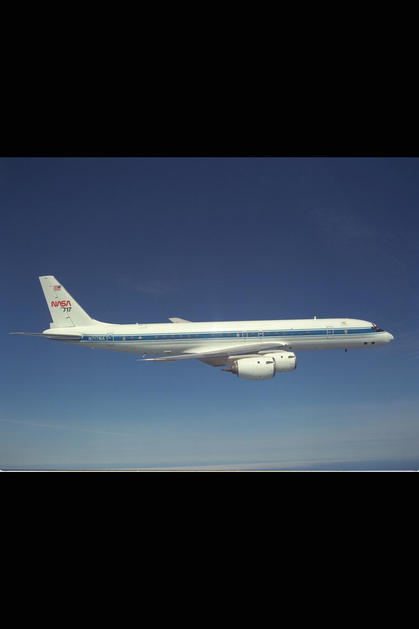
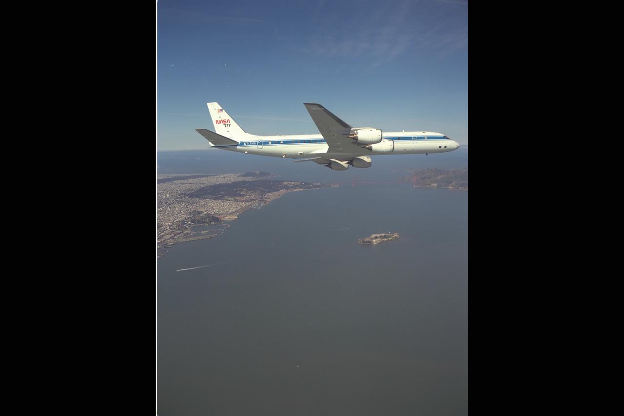
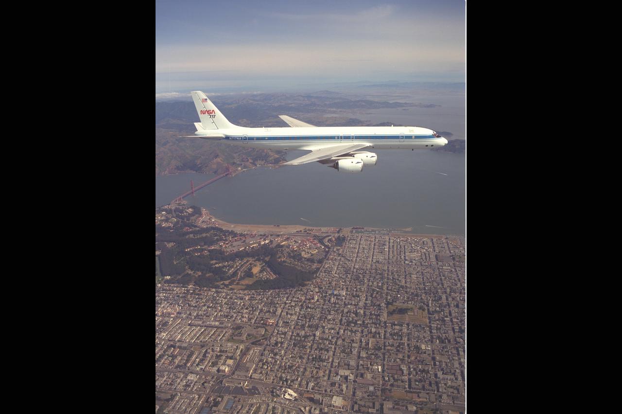
DC-8 NASA 717 in flight over San Francisco, Ca

Ames DC-8 NASA 717 in flight over San Francisco, Ca
Yuri's Night 2009 held at the California Acaemy of Sciences in San Francisco, California
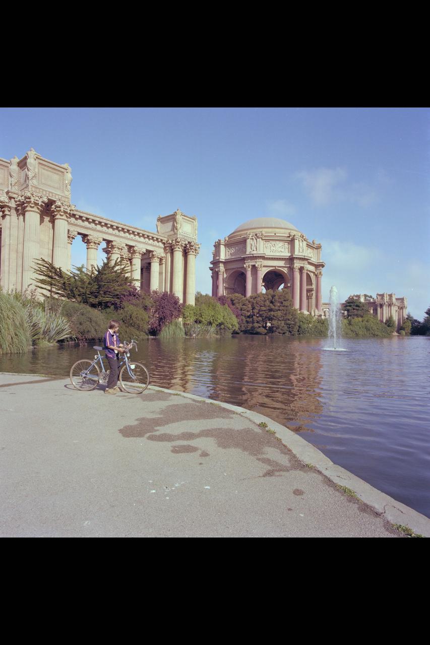
Recruiting Brochure: The Palace of Fine Arts, The Exploratorium in San Francisco
Yuri's Night 2009 held at the California Acaemy of Sciences in San Francisco, California

DC-8 NASA 717 in flight over San Francisco, Ca
Yuri's Night 2009 held at the California Acaemy of Sciences in San Francisco, California
Yuri's Night 2009 held at the California Acaemy of Sciences in San Francisco, California
Yuri's Night 2009 held at the California Acaemy of Sciences in San Francisco, California
DC-8 NASA 717 in flight over San Francisco, Ca
Yuri's Night 2009 held at the California Acaemy of Sciences in San Francisco, California
Yuri's Night 2009 held at the California Acaemy of Sciences in San Francisco, California
DC-8 NASA 717 in flight over San Francisco, Ca
Yuri's Night 2009 held at the California Acaemy of Sciences in San Francisco, California
Yuri's Night 2009 held at the California Acaemy of Sciences in San Francisco, California

Yuri's Night 2009 held at the California Acaemy of Sciences in San Francisco, California
Yuri's Night 2009 held at the California Acaemy of Sciences in San Francisco, California
Yuri's Night 2009 held at the California Acaemy of Sciences in San Francisco, California

DC-8 NASA 717 in flight over San Francisco, Ca
Yuri's Night 2009 held at the California Acaemy of Sciences in San Francisco, California
Yuri's Night 2009 held at the California Acaemy of Sciences in San Francisco, California
Yuri's Night 2009 held at the California Acaemy of Sciences in San Francisco, California

Yuri's Night 2009 held at the California Acaemy of Sciences in San Francisco, California
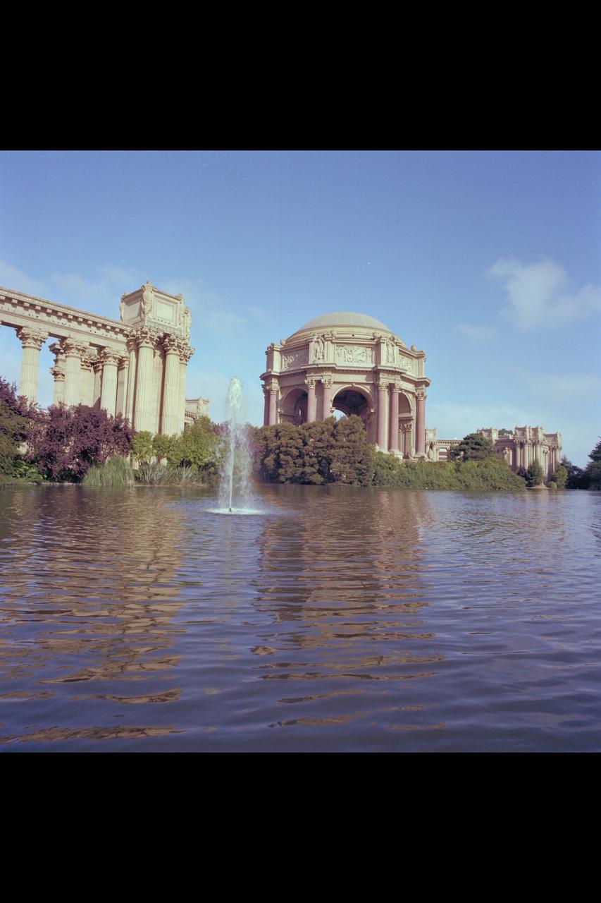
Recruiting Brochure: The Palace of Fine Arts, The Exploratorium in San Francisco
Yuri's Night 2009 held at the California Acaemy of Sciences in San Francisco, California

Ames DC-8 NASA 717 in flight over San Francisco, Ca
Helicopter view showing west area, south San Francisco Bay in background
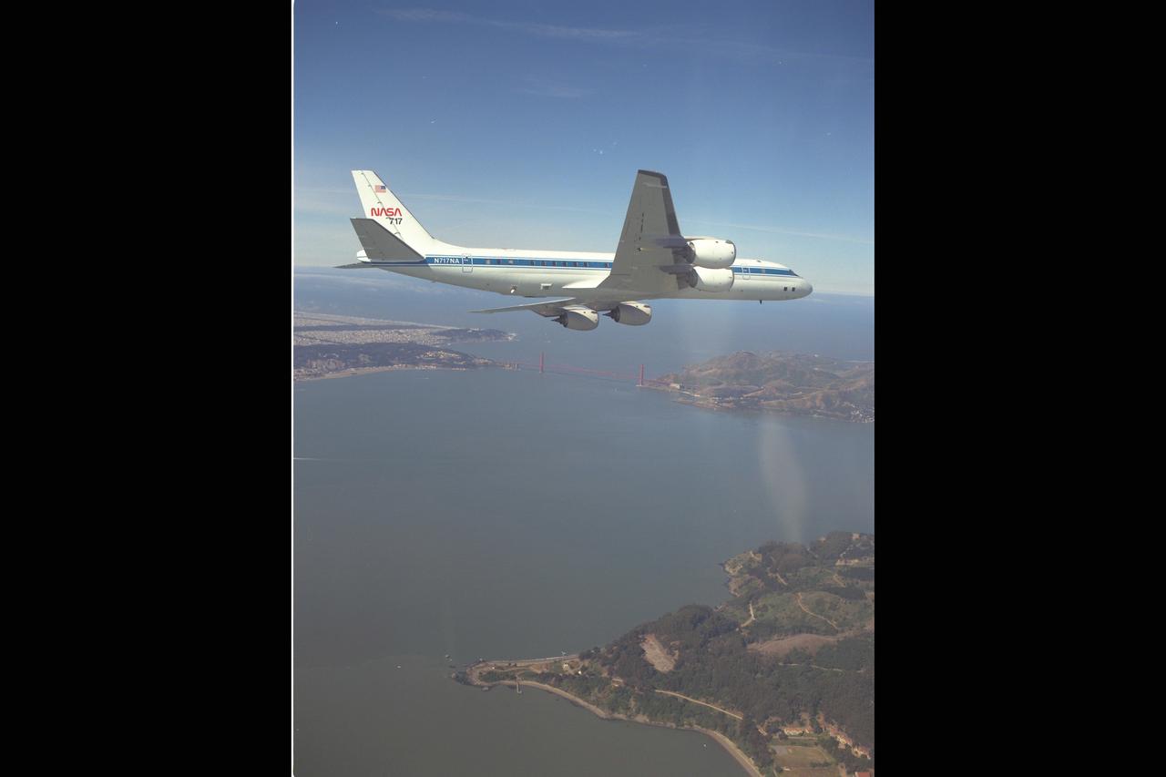
Ames DC-8 NASA 717 in flight over San Francisco, Ca
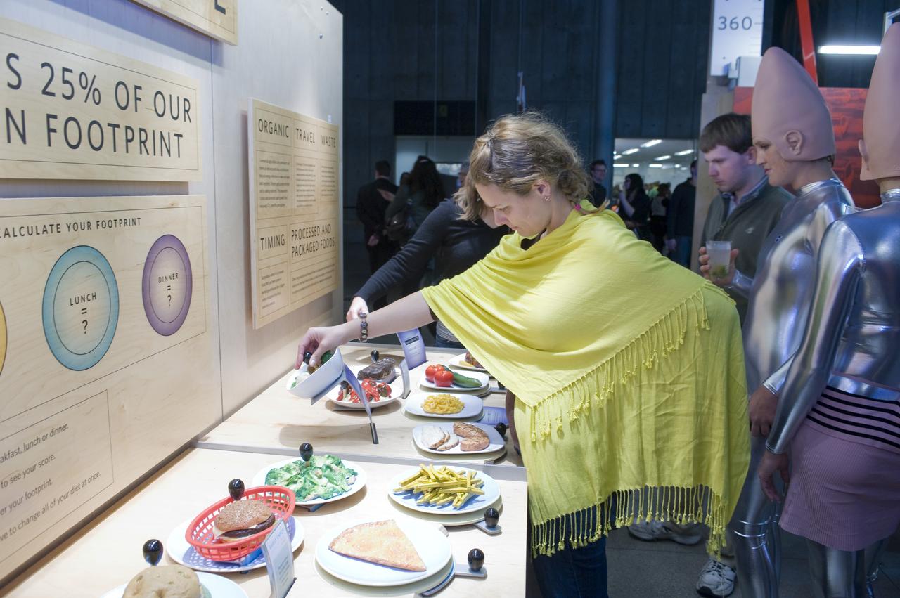
Yuri's Night 2009 held at the California Acaemy of Sciences in San Francisco, California
Yuri's Night 2009 held at the California Acaemy of Sciences in San Francisco, California
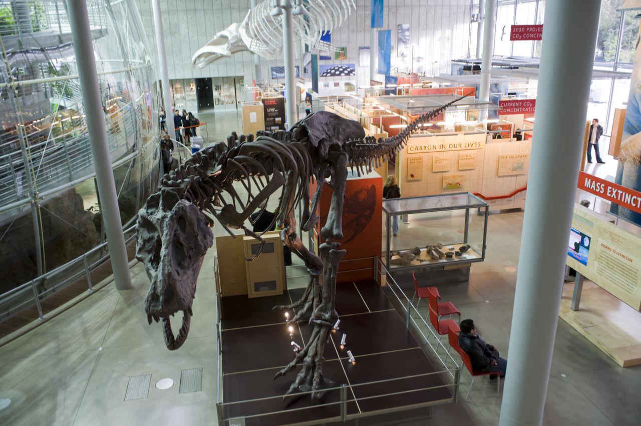
Yuri's Night 2009 held at the California Acaemy of Sciences in San Francisco, California
Yuri's Night 2009 held at the California Acaemy of Sciences in San Francisco, California
Yuri's Night 2009 held at the California Acaemy of Sciences in San Francisco, California
Yuri's Night 2009 held at the California Acaemy of Sciences in San Francisco, California
Yuri's Night 2009 held at the California Acaemy of Sciences in San Francisco, California
Yuri's Night 2009 held at the California Acaemy of Sciences in San Francisco, California
Yuri's Night 2009 held at the California Acaemy of Sciences in San Francisco, California
Yuri's Night 2009 held at the California Acaemy of Sciences in San Francisco, California
Yuri's Night 2009 held at the California Acaemy of Sciences in San Francisco, California
Yuri's Night 2009 held at the California Acaemy of Sciences in San Francisco, California
Yuri's Night 2009 held at the California Acaemy of Sciences in San Francisco, California
Yuri's Night 2009 held at the California Acaemy of Sciences in San Francisco, California
Yuri's Night 2009 held at the California Acaemy of Sciences in San Francisco, California

STS073-706-012 (22 October 1995) --- Each of the great bridges spanning San Francisco Bay are captured in this near-nadir photo of the San Francisco and Oakland, California, areas. Starting from the south (left in this photo), Dumbarton, San Mateo, Bay, Golden Gate, and San Rafael bridges are seen. Ribbons of run-off induced sediments color the bay, and multi-colored salt-production pens line the southernmost shore.
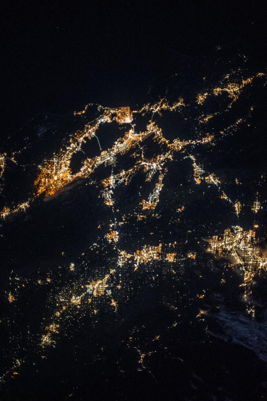
ISS037-E-002604 (25 Sept. 2013) --- One of the Expedition 37 crew members aboard the International Space Station took this night photograph on Sept. 25 featuring the northern California region including San Francisco and San Francisco Bay on the west coast, San Jose to the southeast, Modesto and Stockton near the Sierra Nevada to the east, and Oakland to the northeast. Several other cities and communities can be delineated, as well.
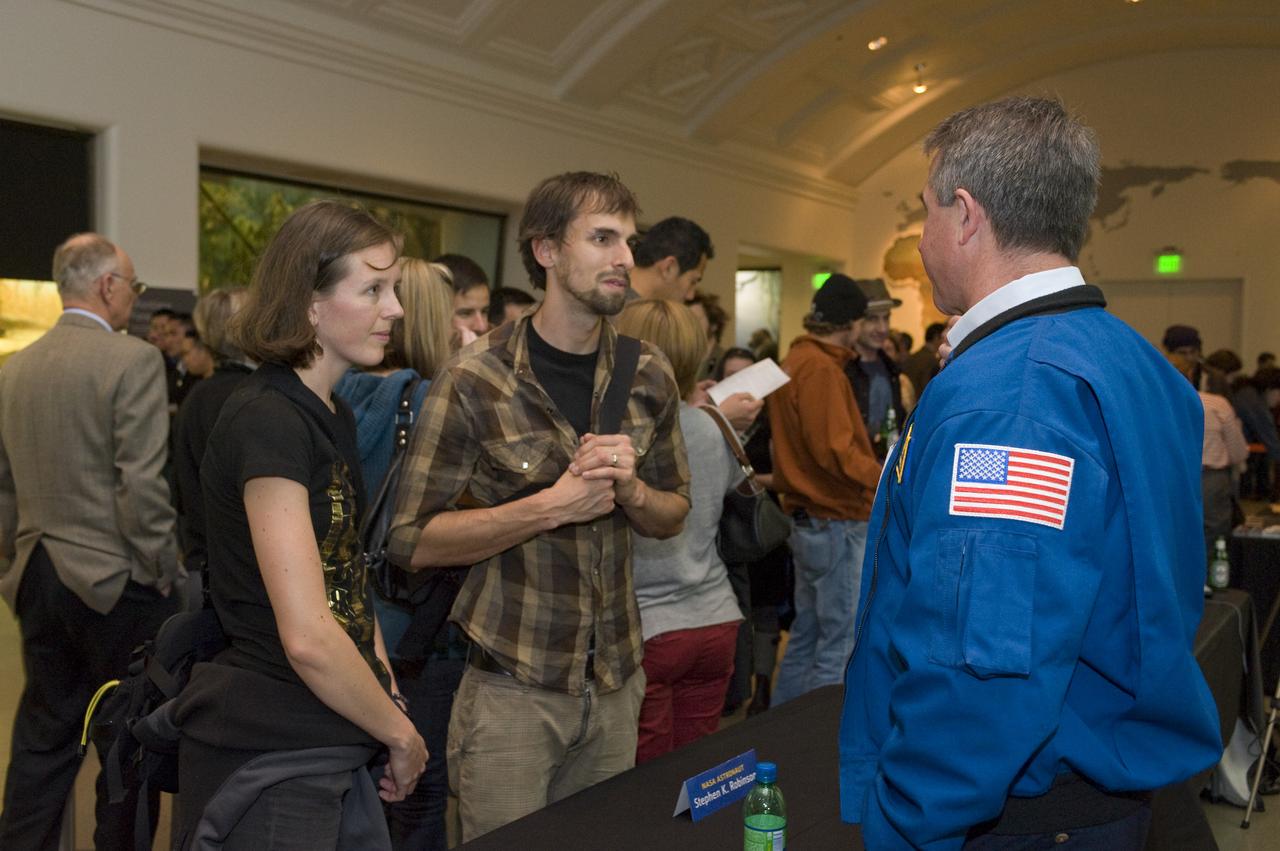
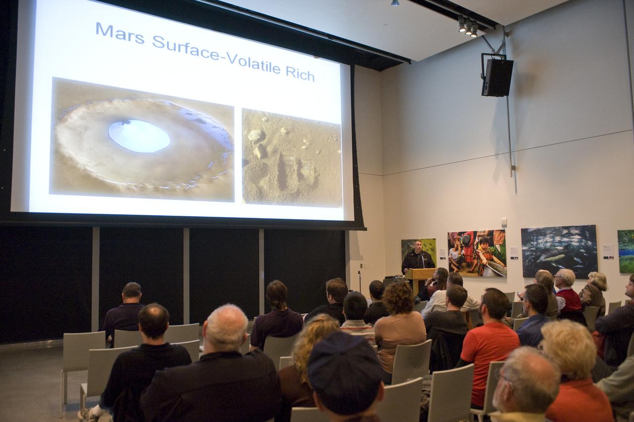
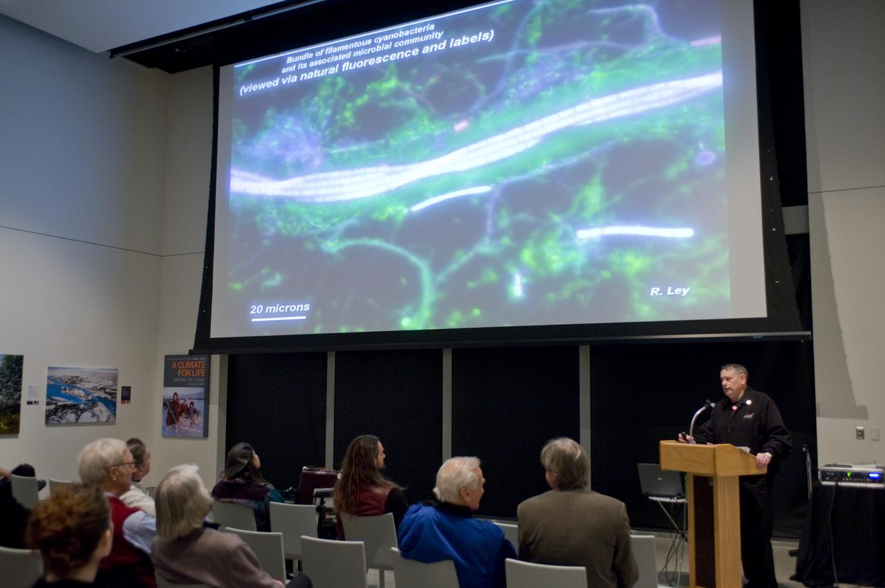
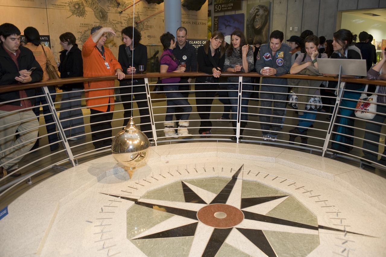
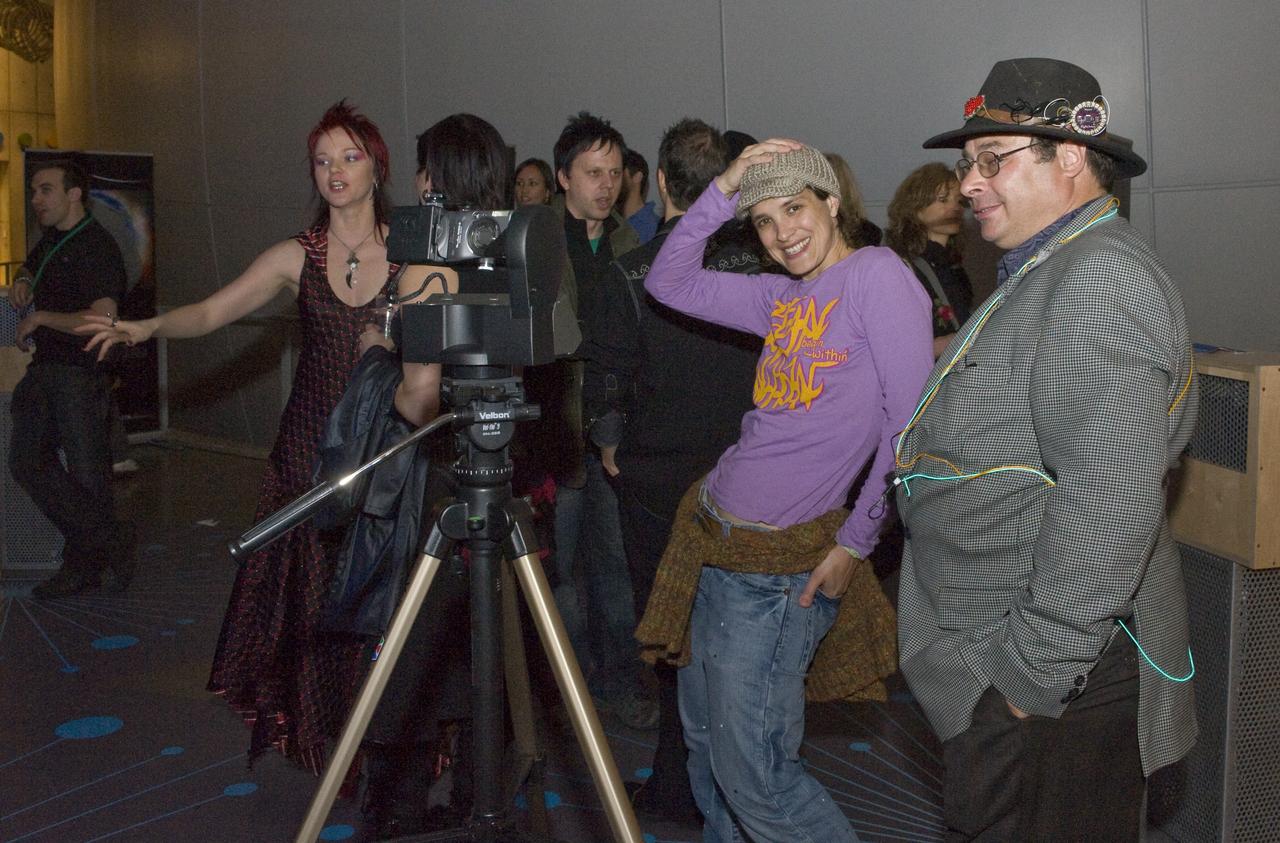
Yuri's Night 2009 held at the California Acaemy of Sciences in San Francisco, California NASA Astronaut Stephen Robinson talk to the crowd.
NASA Day at AT&T Park: NASA and the San Francisco Giants share a day to celebrate the 50 year anniversaries.

NASA Day at AT&T Park: NASA and the San Francisco Giants share a day to celebrate the 50 year anniversaries.
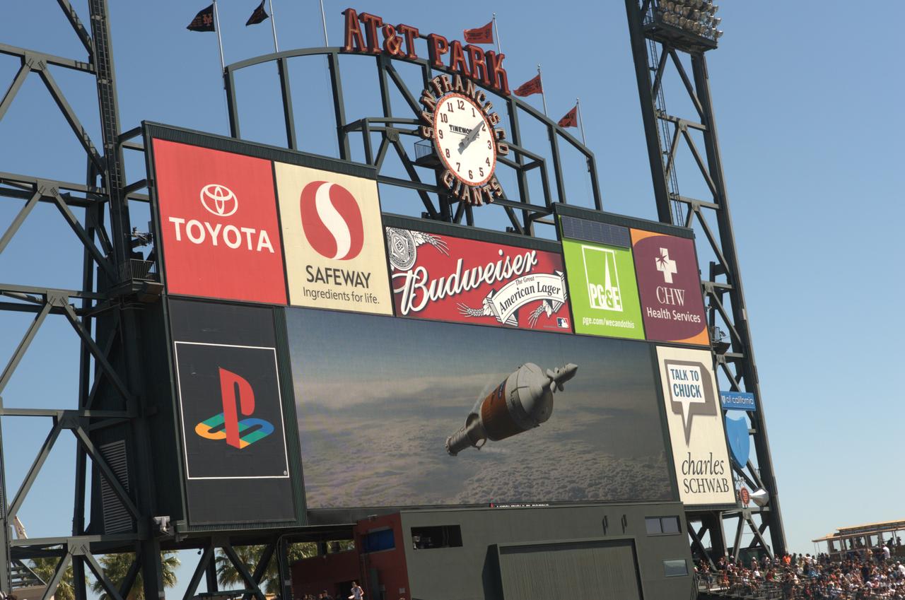
NASA Day at AT&T Park: NASA and the San Francisco Giants share a day to celebrate the 50 year anniversaries.
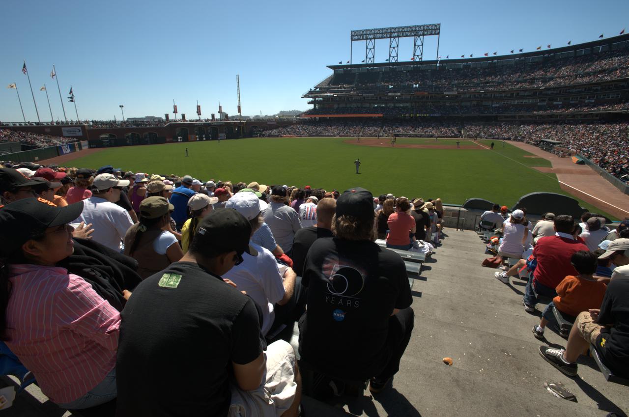
NASA Day at AT&T Park: NASA and the San Francisco Giants share a day to celebrate the 50 year anniversaries.
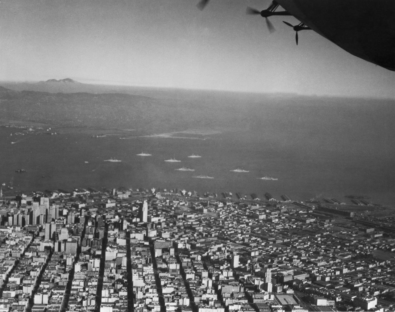
Navy Aerial of San Francisco, California; W/8 Pacific Fleet Battleships anchored in bay