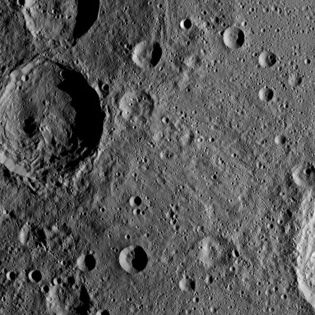
Sintana Crater is seen on the left side of this image of Ceres from NASA's Dawn spacercraft. The crater's central peak casts a shadow over its western flank. At lower right, the rim of Darzamat peeks into view. Dawn took this image on Oct. 19 from its second extended-mission science orbit (XMO2), at a distance of about 920 miles (1,480 kilometers) above the surface. The image resolution is about 460 feet (140 meters) per pixel. http://photojournal.jpl.nasa.gov/catalog/PIA21234
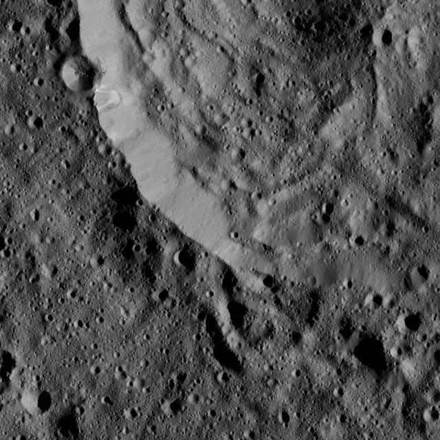
This view from NASA Dawn spacecraft shows the southwestern rim of Sintana Crater. The inside of the crater shows a hummocky surface.
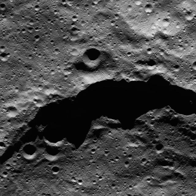
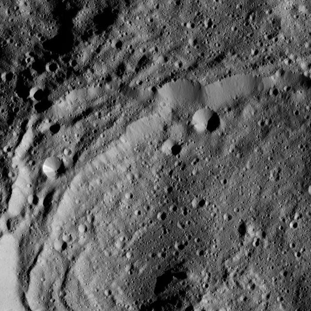
The image from NASA Dawn spacecraft shows the northeast rim of Sintana Crater on Ceres. The crater steep rim is shadowed in this particular view.
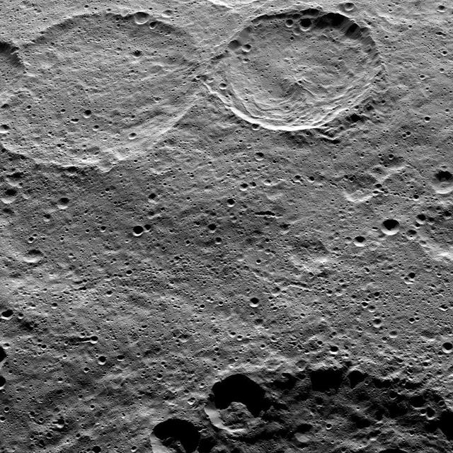
This image of Ceres, taken by NASA's Dawn spacecraft, shows Sintana Crater (36 miles, 58 kilometers wide) at top, just right of center. The rim of a large crater called Zadeni (80 miles, 128 kilometers wide), is seen at the bottom of the image. Dawn took this image from an altitude of 915 miles (1,470 kilometers) during its High Altitude Mapping Orbit (HAMO) phase on Oct. 20, 2015. Image resolution is 450 feet (140 meters) per pixel. The scene is located in the southern hemisphere of Ceres at approximately 55 degrees south latitude, 40 degrees east longitude. http://photojournal.jpl.nasa.gov/catalog/PIA20149
This view of Ceres from NASA's Dawn spacecraft shows the rim of Sintana Crater (36 miles, 58 kilometers wide). Sinatana is also seen in PIA20149, an image taken from a higher altitude earlier in Dawn's mission. The image is centered at approximately 47 degrees south latitude, 43 degrees east longitude. Dawn took this image on May 27, 2016, from its low-altitude mapping orbit, at a distance of about 240 miles (385 kilometers) above the surface. The image resolution is 120 feet (35 meters) per pixel. http://photojournal.jpl.nasa.gov/catalog/PIA20874