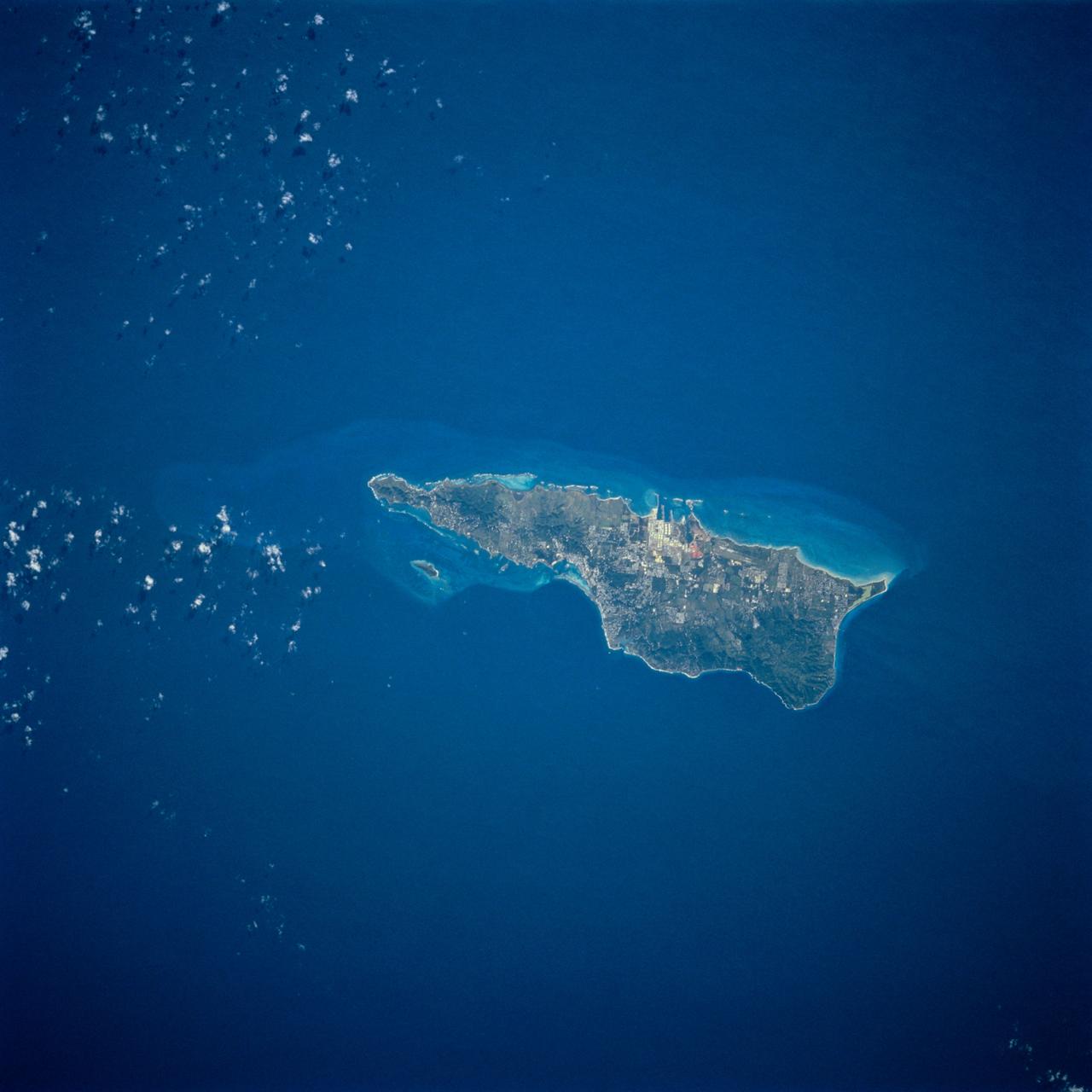
STS054-74-049 (13-19 Jan. 1993) --- St. Croix is the largest, and most industrial of the U.S. Virgin Islands. This photograph captures St. Croix's features in great detail. The large industrial complex in the middle of the southern shore is the world's largest petroleum refinery. The main city, Christiansted, can be seen across the island on the north shore. The reefs around the eastern end of St. Croix are preserved as a submarine national park -- Buck Island Reef National Park -- around the small island off the north shore of the eastern end of St. Croix.
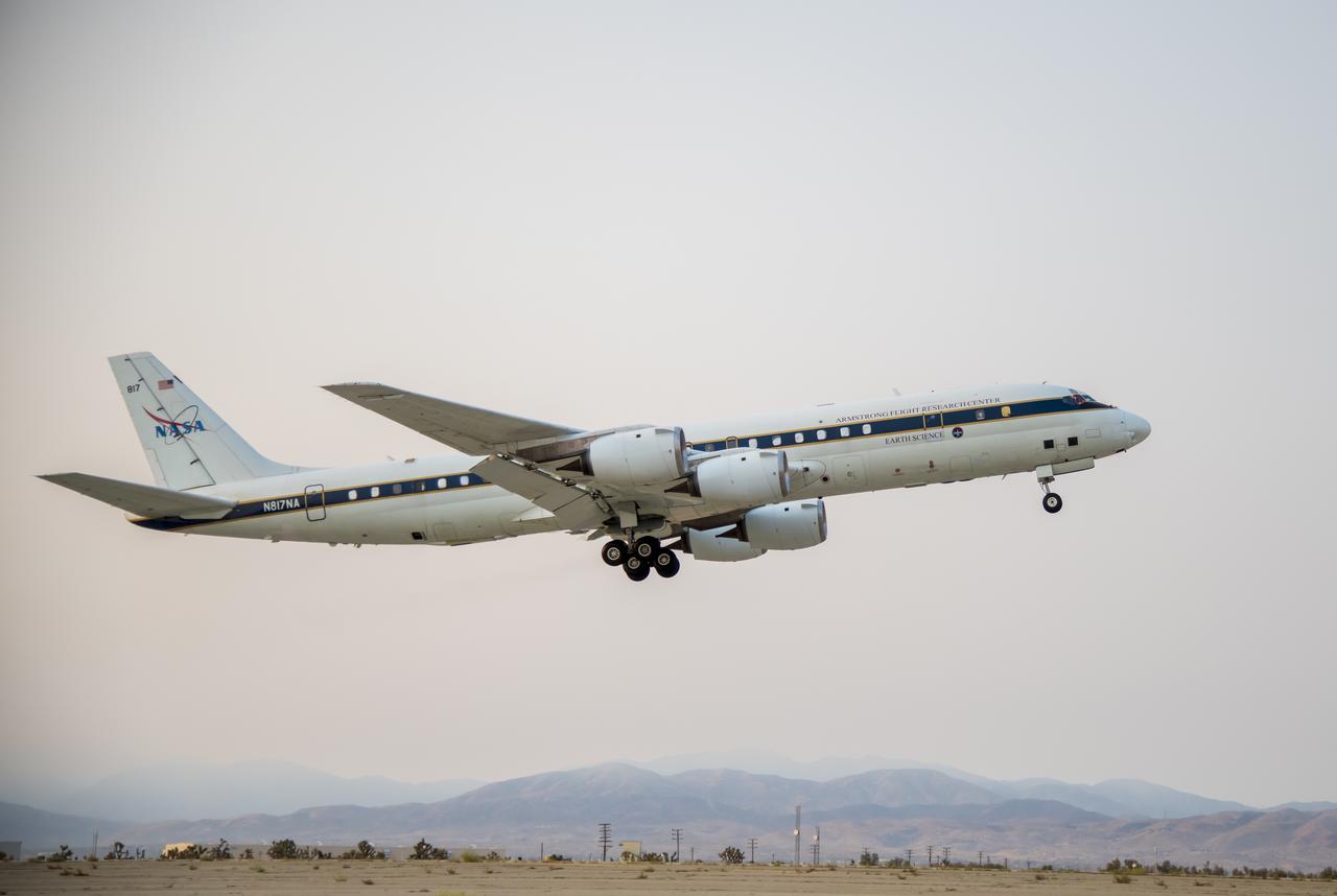
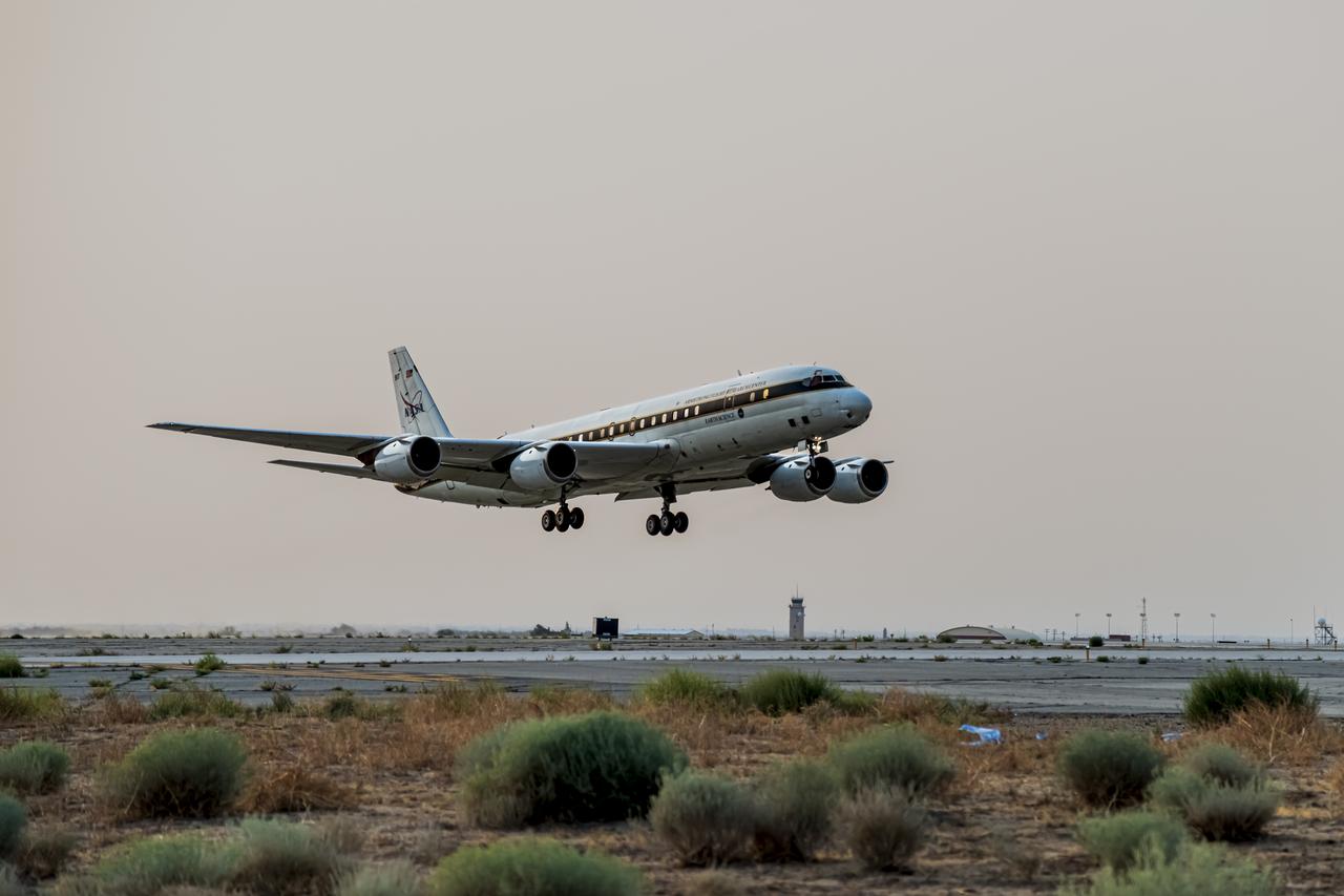
NASA's DC-8 taking off to St. Croix in support of the Convective Processes Experiment - Aerosols and Winds campaign (CPEX-AW) on Aug 17, 2021.
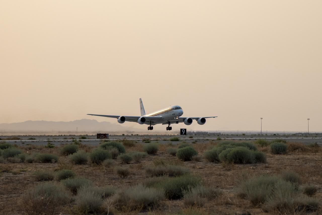
NASA's DC-8 taking off to St. Croix in support of the Convective Processes Experiment - Aerosols and Winds campaign (CPEX-AW) on Aug 17, 2021.
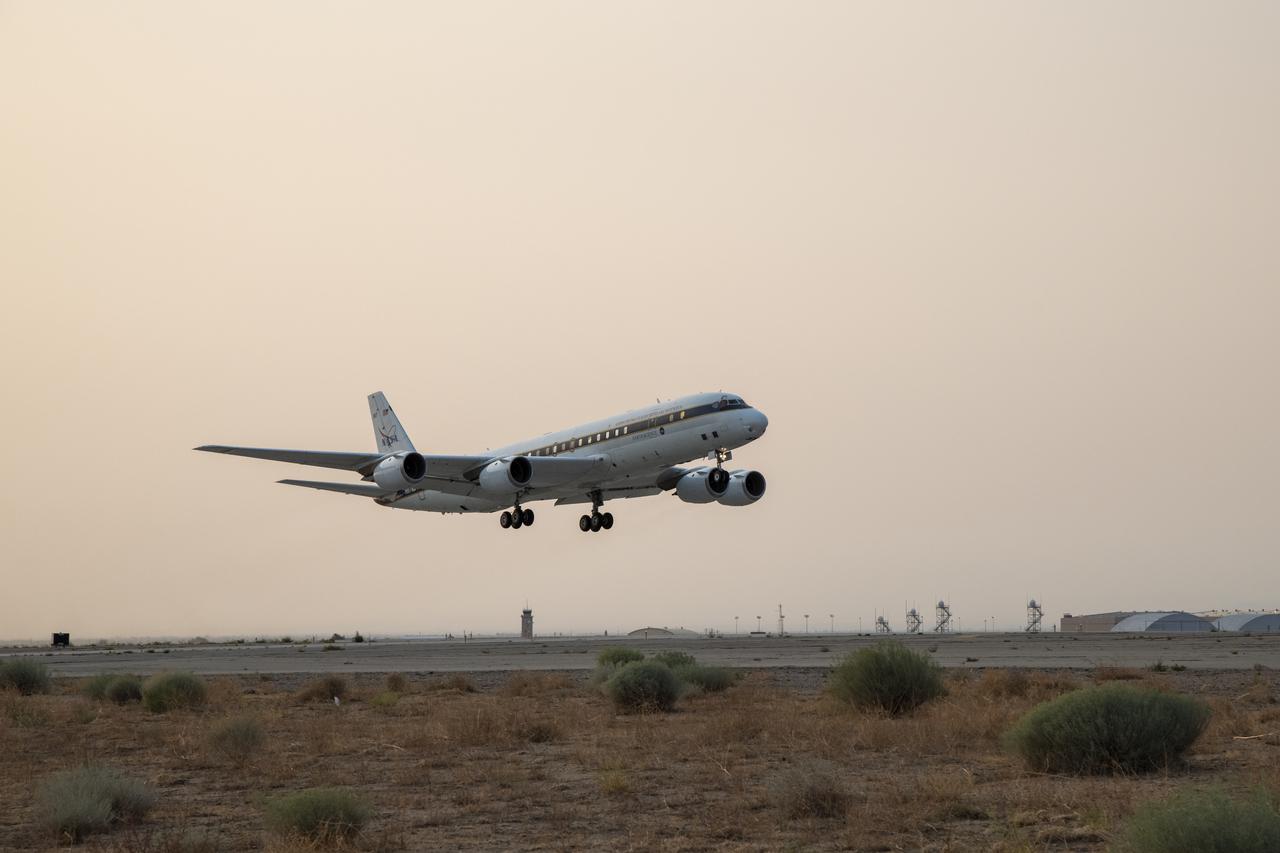
NASA’s DC-8 taking off to St. Croix in support of the Convective Processes Experiment – Aerosols and Winds campaign (CPEX-AW) on Aug 17, 2021.
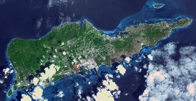
Saint Croix is a district of the U.S. Virgin Islands, in the Caribbean Sea. First inhabited by indigenous groups, the island was visited by Columbus in 1493. By the end of the 16th century, the island was uninhabited, the native population dispersed or killed. Starting in the 17th century, the island was successively claimed by the Spanish, the French, the French West India Company, and, for the next 200 years, the Danish West India Company. In 1801 the British invaded and took control; followed by Denmark-Norway a year later. Then again the British, and again Denmark in 1815. One hundred years later, in 1915, Denmark sold the Virgin Islands to the United States, and the inhabitants were granted US citizenship. Saint Croix was home to HOVENSA, one of the world's largest oil refineries. In 2012, the refinery closed, and tourism is now the main source of revenue (Wikipedia). The image covers an area of 18.7 by 36.2 km, was acquired March 10, 2011, and is located at 17.7 degrees north, 64.7 degrees west. https://photojournal.jpl.nasa.gov/catalog/PIA22894
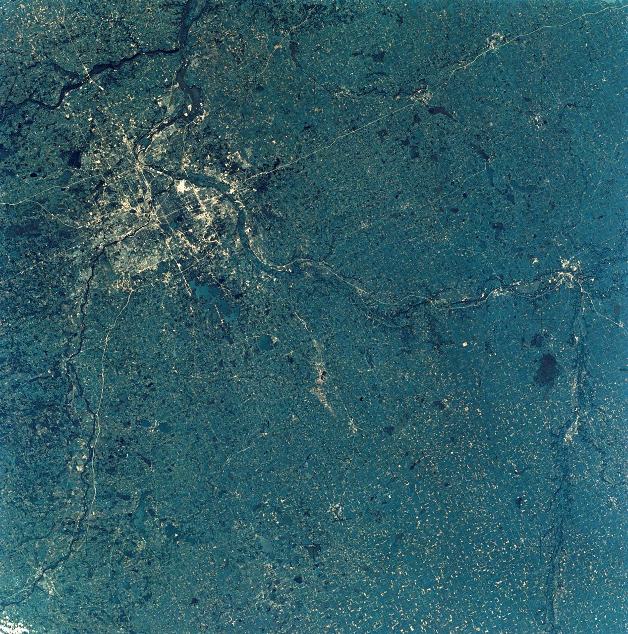
SL3-28-009 (July-September 1973) --- A near vertical view of the Minneapolis-St. Paul, Minnesota area, as photographed from Earth orbit by one of the six lenses of the Itek-furnished S190-A Multispectral Photographic Facility Experiment in the Multiple Docking Adapter of the Skylab space station. A 150mm lens, with SO-356 high definition Ektachrome film, was used to take this picture. The Mississippi River flows southeasterly through this large metropolitan area. Minneapolis is on the west bank of the Mississippi. The Minnesota River makes a large bend at the southern edge of the picture then flows northeasterly to empty into the Mississippi at Minneapolis-St. Paul. The St. Croix River, which serves as a portion of the boundary between Minnesota and Wisconsin, flows into the Mississippi downstream from the twin cities. A long, nearly straight, stretch of Interstate 35 leads southward from Minneapolis-St. Paul. Interstate 94 parallels the Mississippi toward the northwest. The highway and road network in the area is clearly visible. Note the numerous small lakes in the photograph. This view includes the smaller cities of Hastings, Faribault, Owatonna, Mankato, St. Peter, New Ulm and St. Cloud. The S190-A experiment is part of the Skylab Earth Resources Experiments Package. Photo credit: NASA