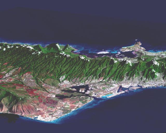
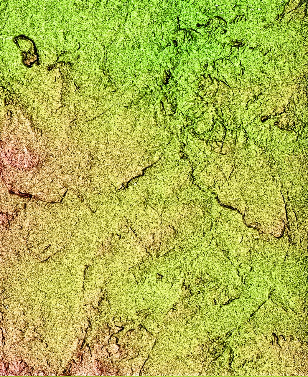
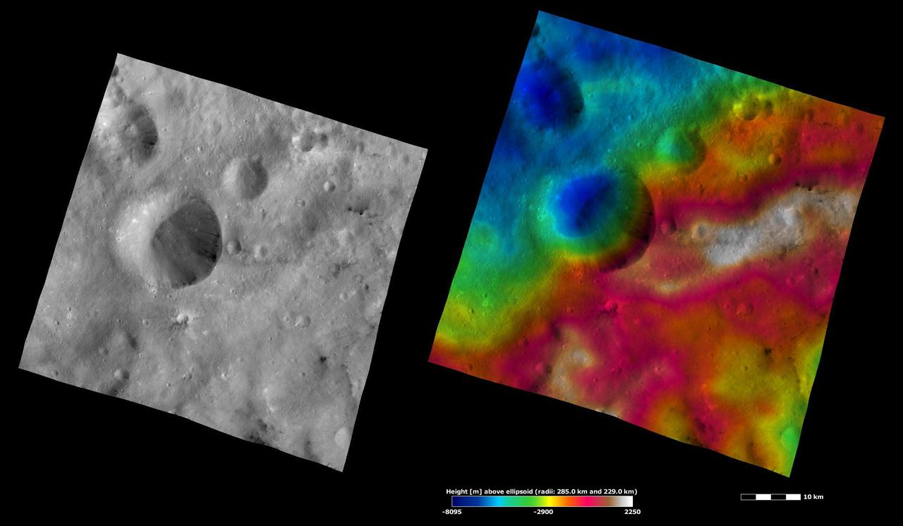
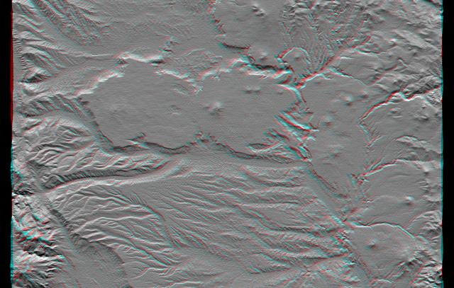
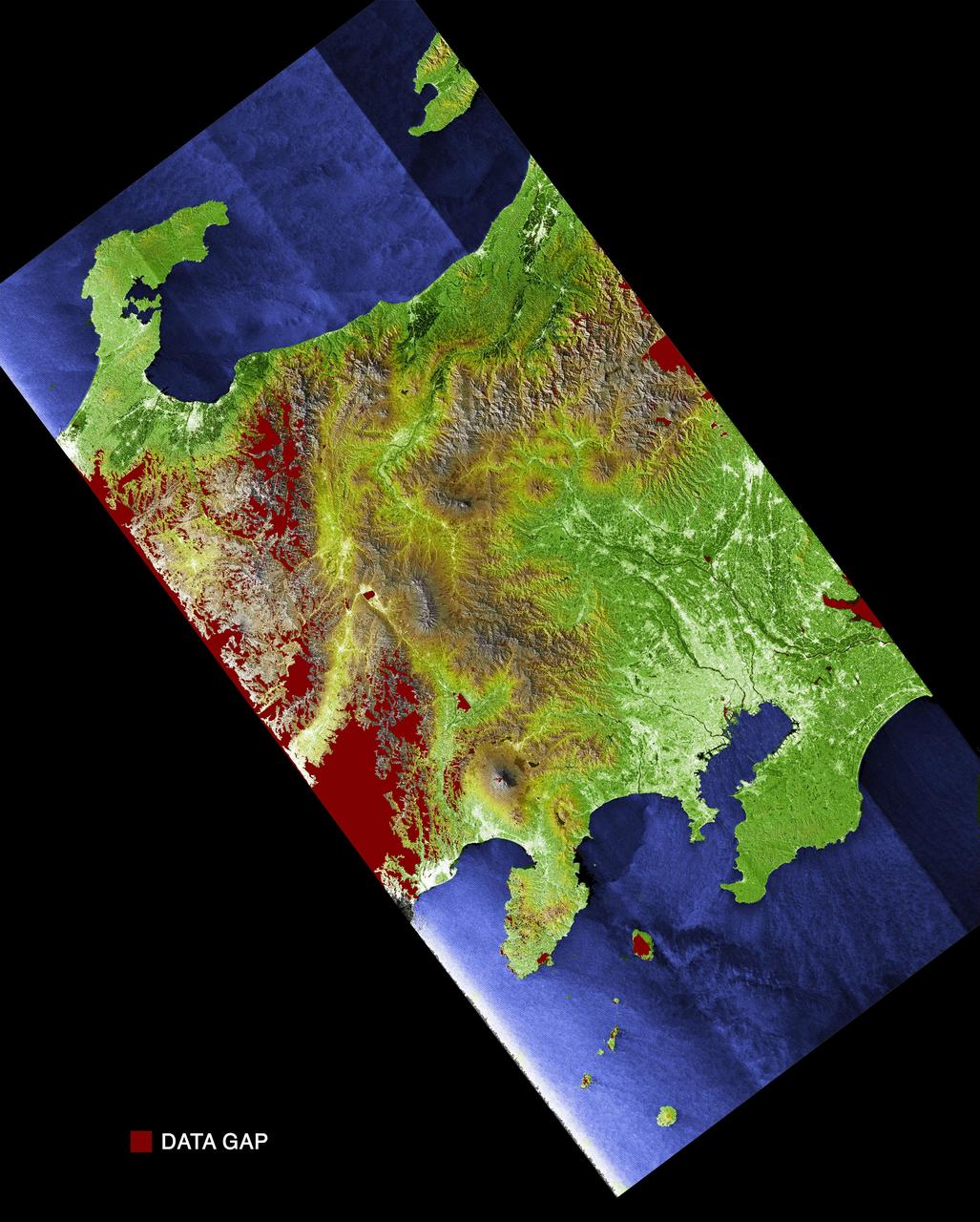
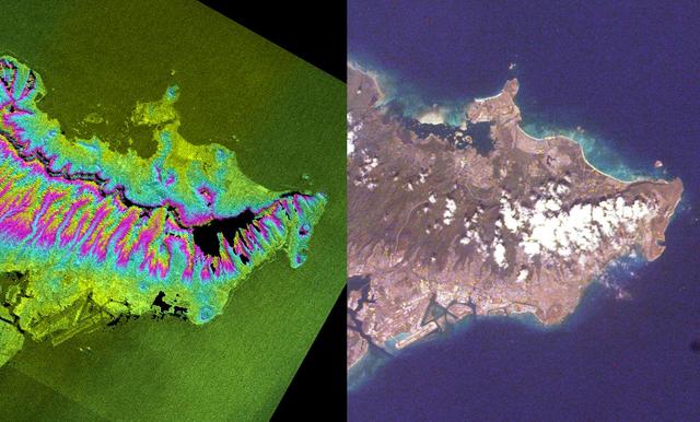
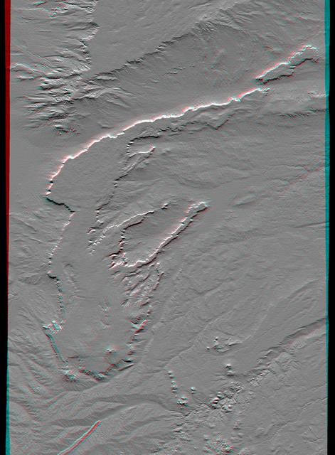
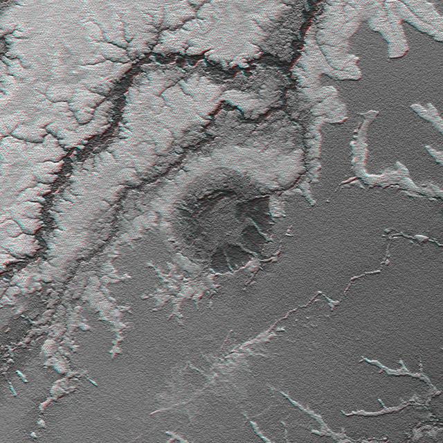
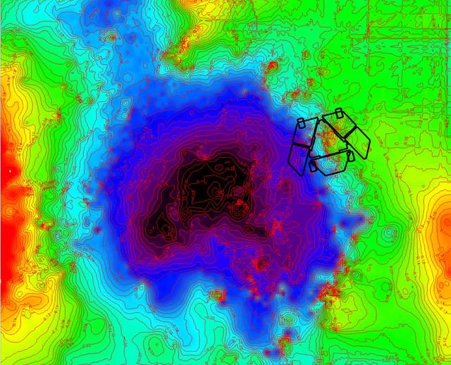
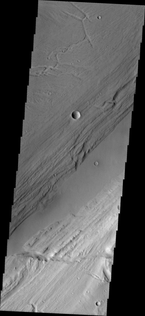
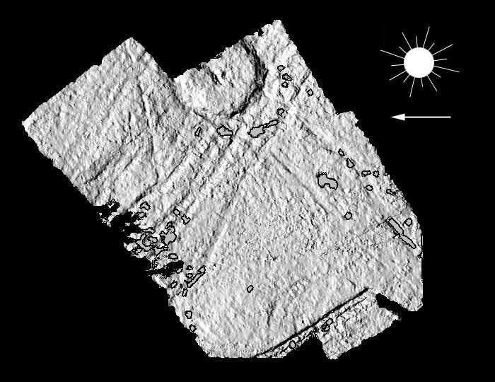
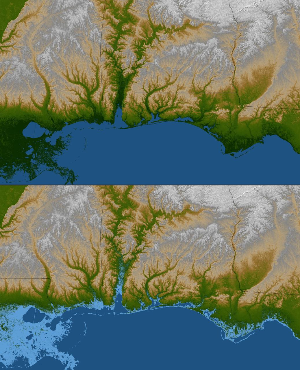
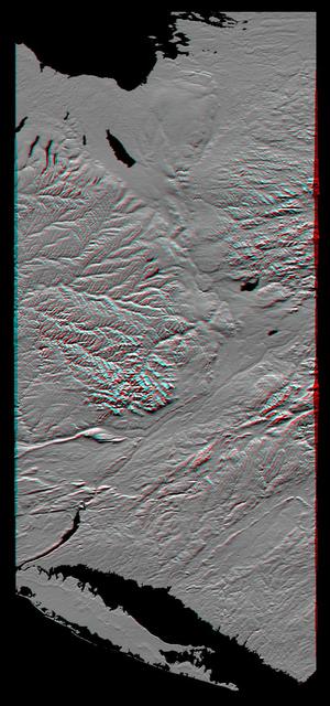
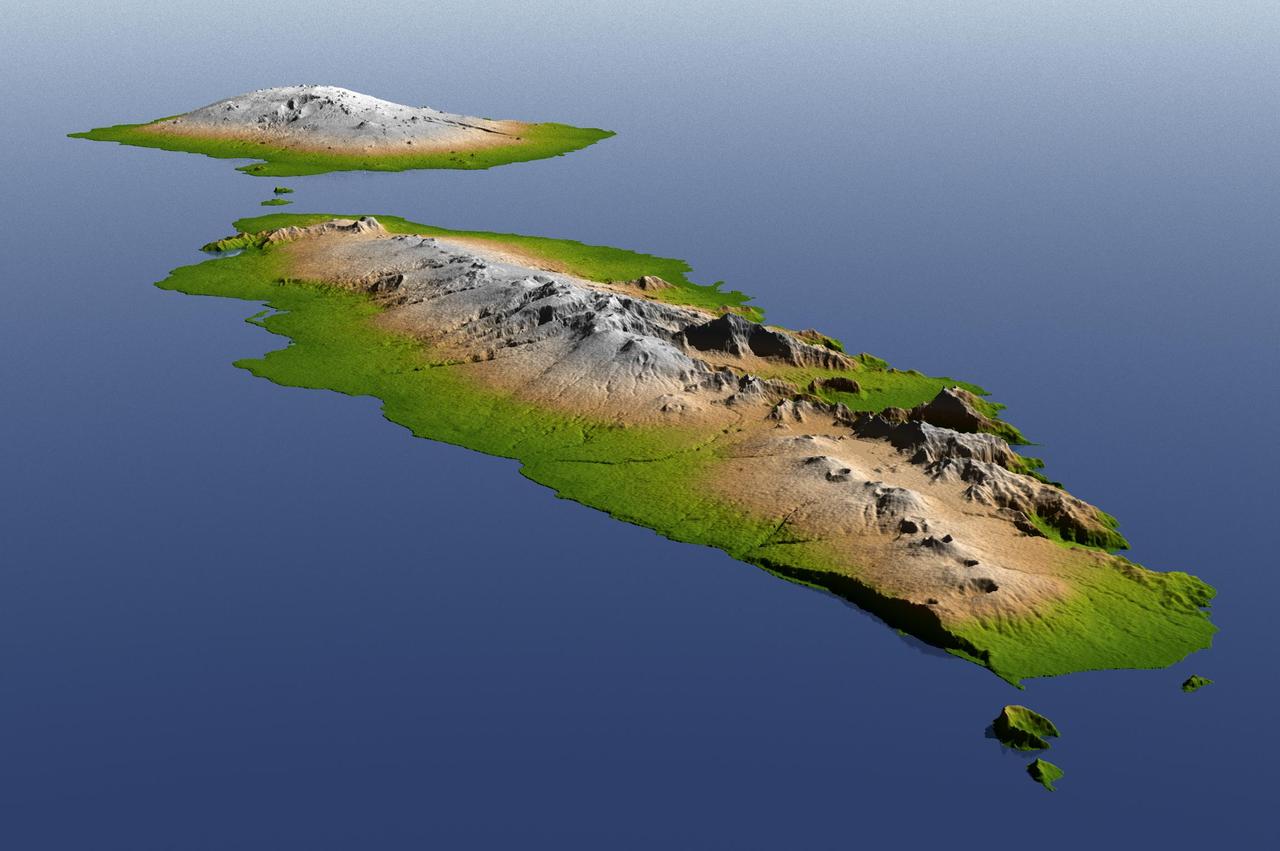
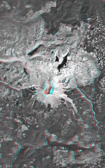
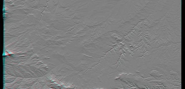
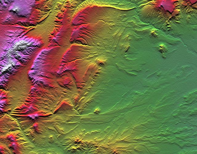
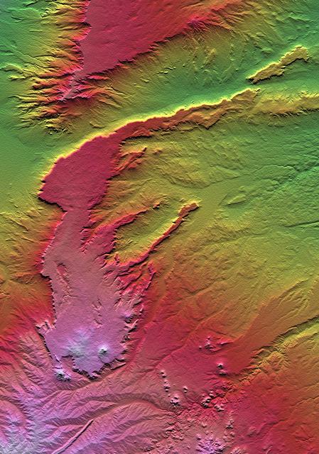
SRTM Colored and Shaded Topography: Haro and Kas Hills, India On January 26, 2001, the Kachchh region in western India suffered the most deadly earthquake in India's history. This shaded topography view of landforms northeast of the city of Bhuj depicts geologic structures that are of interest in the study the tectonic processes that may have led to that earthquake. However, preliminary field studies indicate that these structures are composed of Mesozoic rocks that are overlain by younger rocks showing little deformation. Thus these structures may be old, not actively growing, and not directly related to the recent earthquake. The Haro Hills are on the left and the Kas Hills are on the right. The Haro Hills are an "anticline," which is an upwardly convex elongated fold of layered rocks. In this view, the anticline is distinctly ringed by an erosion resistant layer of sandstone. The east-west orientation of the anticline may relate to the crustal compression that has occurred during India's northward movement toward, and collision with, Asia. In contrast, the largest of the Kas Hills appears to be a tilted (to the south) and faulted (on the north) block of layered rocks. Also seen here, the linear feature trending toward the southwest from the image center is an erosion-resistant "dike," which is an igneous intrusion into older "host" rocks along a fault plane or other crack. These features are simple examples of how shaded topography can provide a direct input to geologic studies. In this image, colors show the elevation as measured by the Shuttle Radar Topography Mission (SRTM). Colors range from green at the lowest elevations, through yellow and red, to purple at the highest elevations. Elevations here range from near sea level to about 300 meters (about 1000 feet). Shading has been added, with illumination from the north (image top). http://photojournal.jpl.nasa.gov/catalog/PIA03300


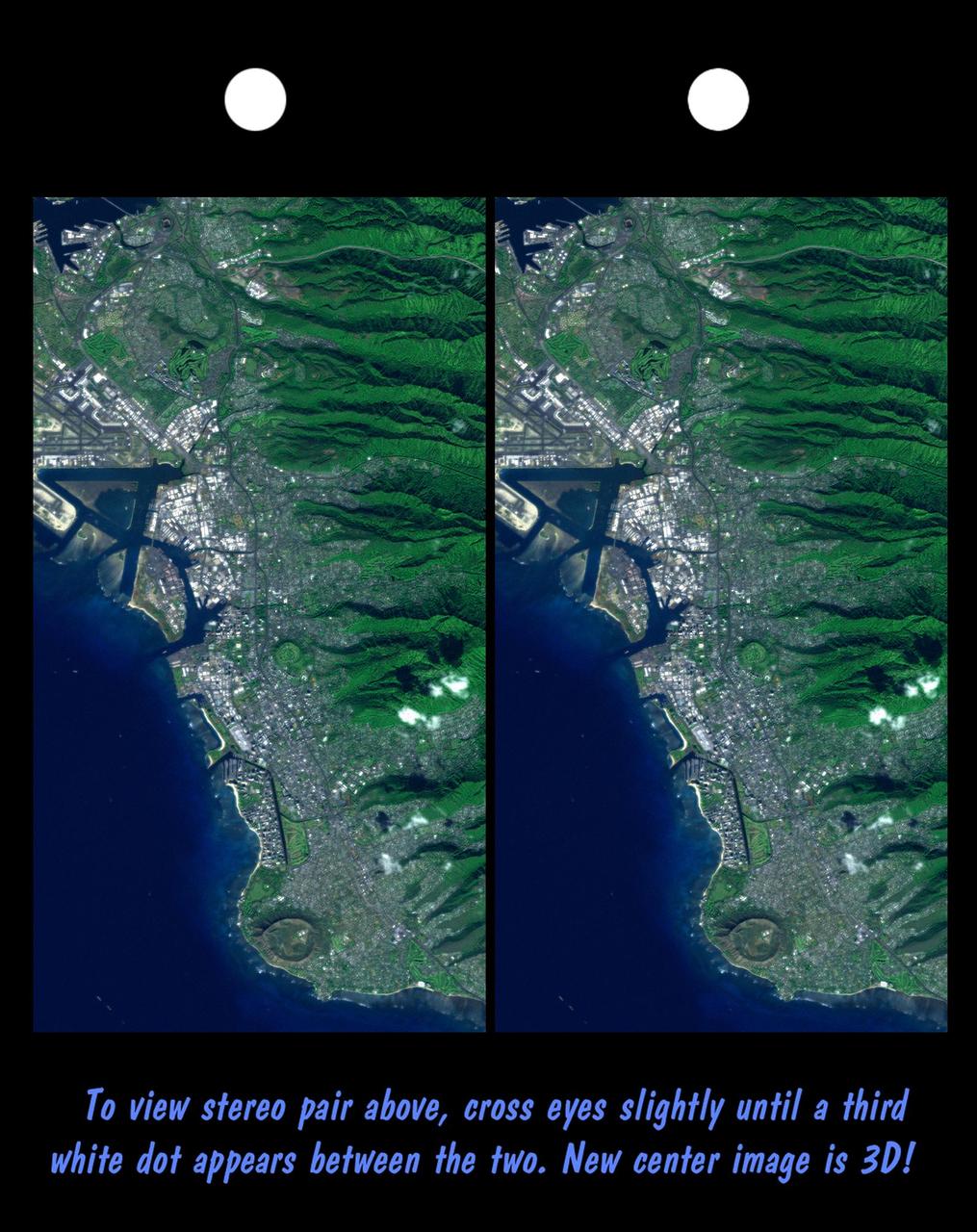

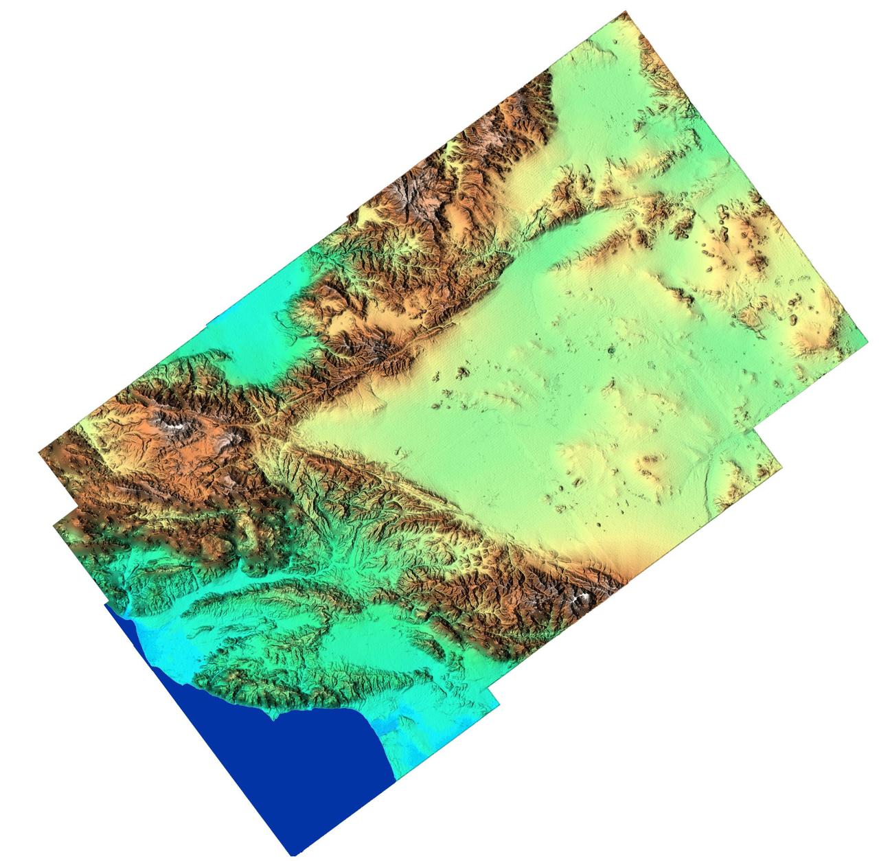


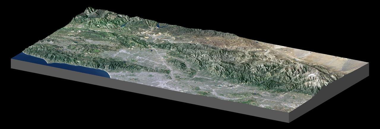
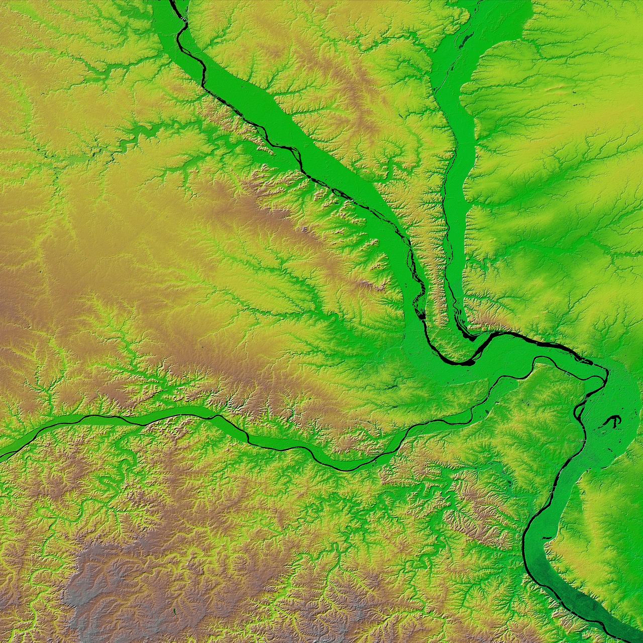
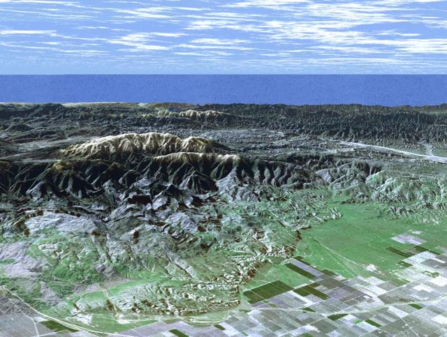
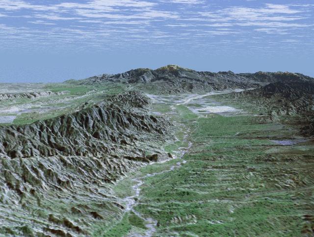
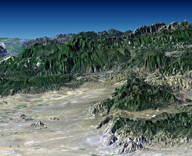
![The diversity of landforms that make up the state of California is evident in this new [sic] rendition of the 3-D topography of the state.](https://images-assets.nasa.gov/image/PIA03333/PIA03333~medium.jpg)
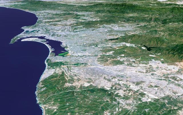
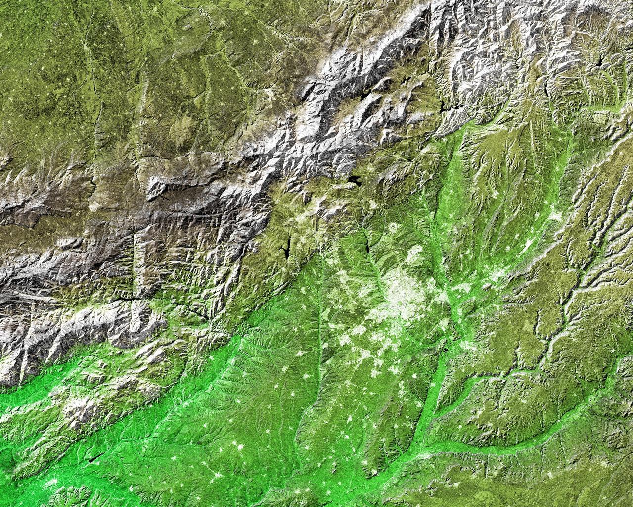
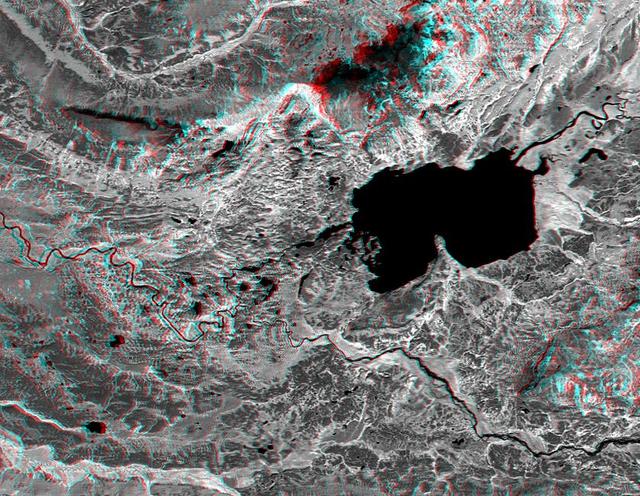
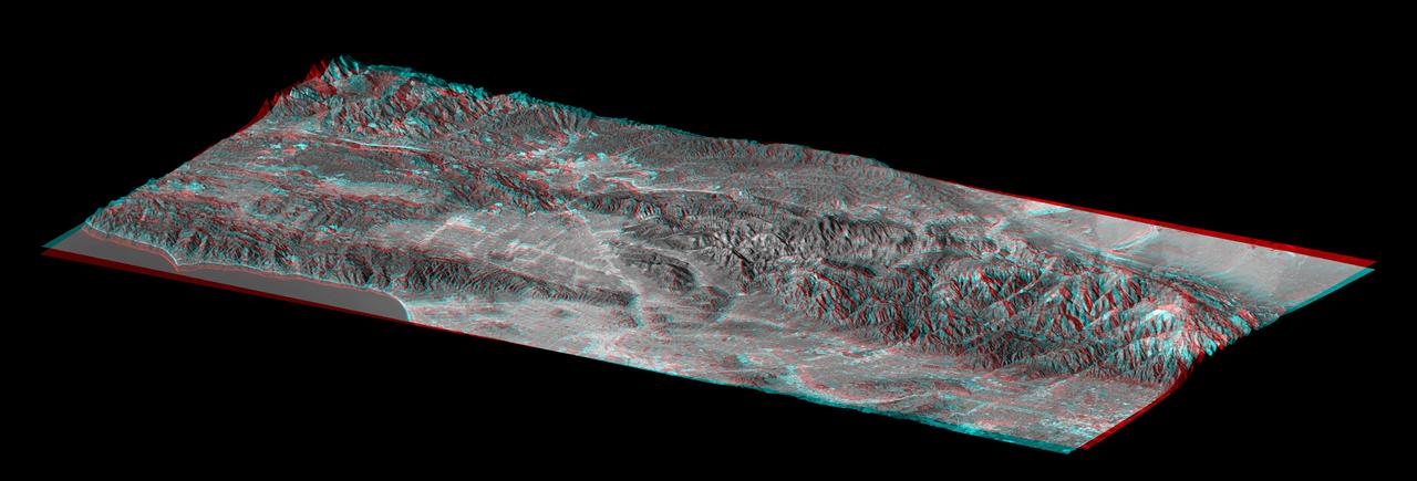
![The diversity of landforms that make up the state of California is evident in this new [sic] rendition of the 3-D topography of the state.](https://images-assets.nasa.gov/image/PIA03347/PIA03347~medium.jpg)