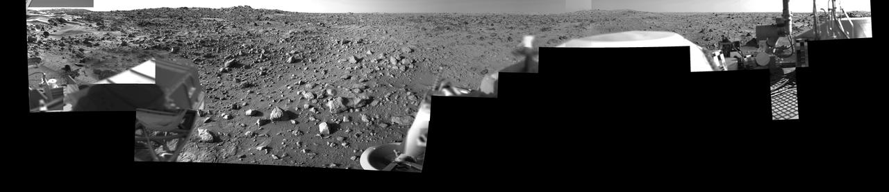
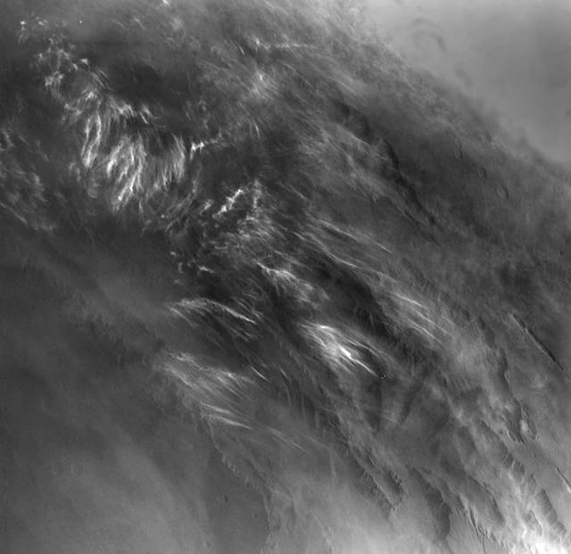
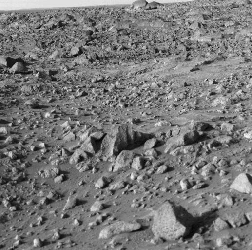
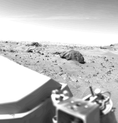
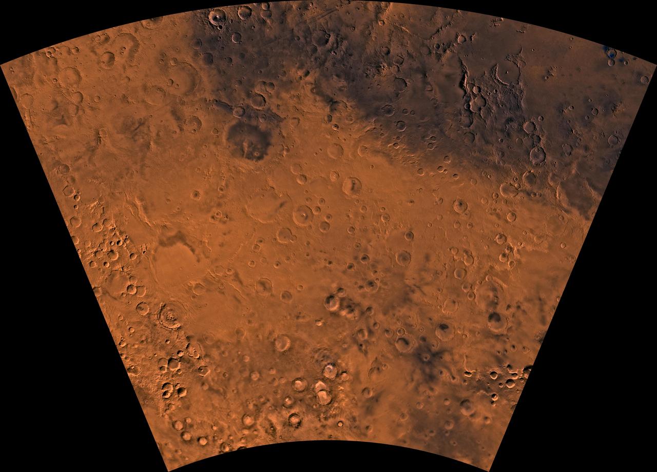
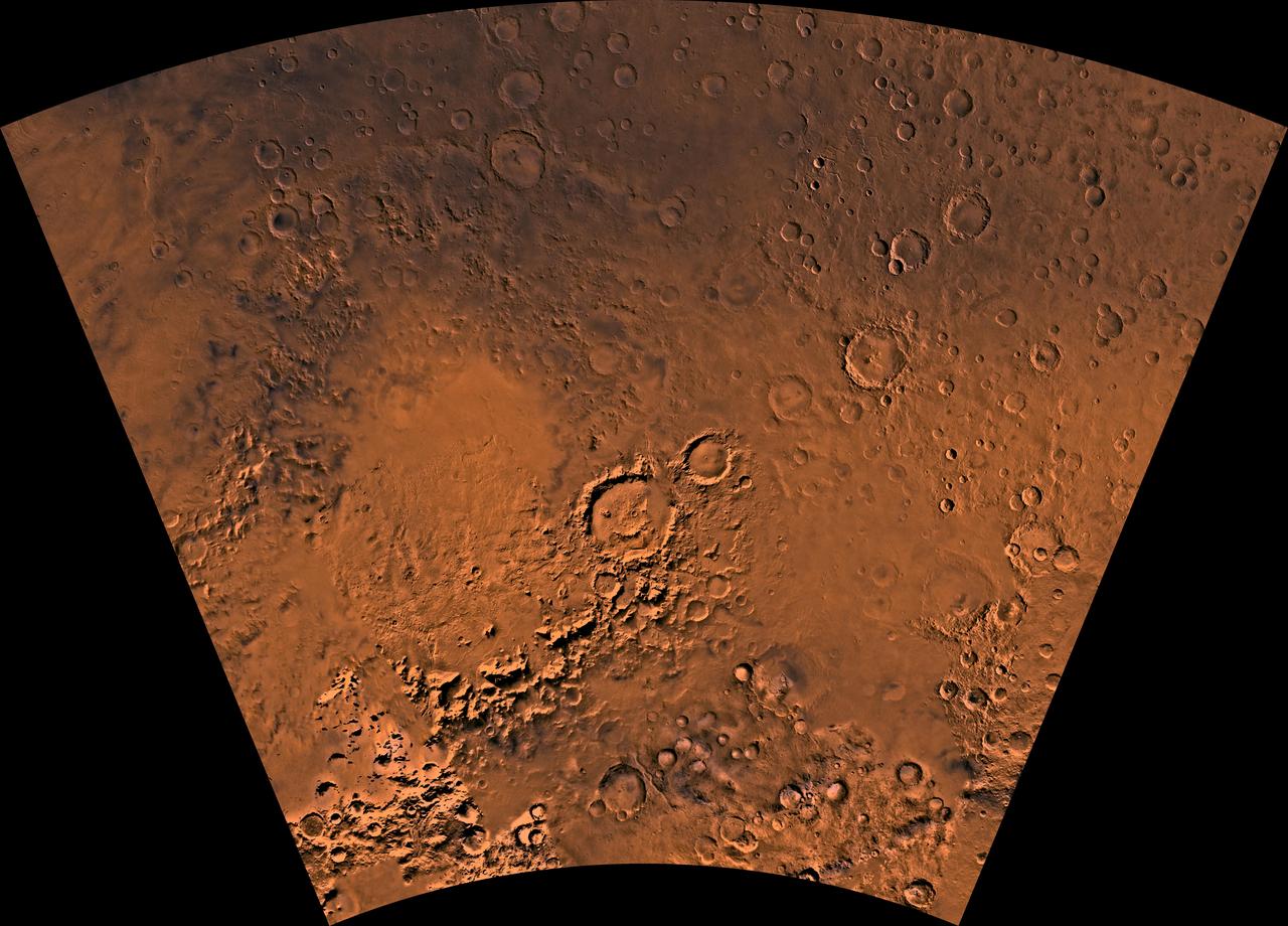
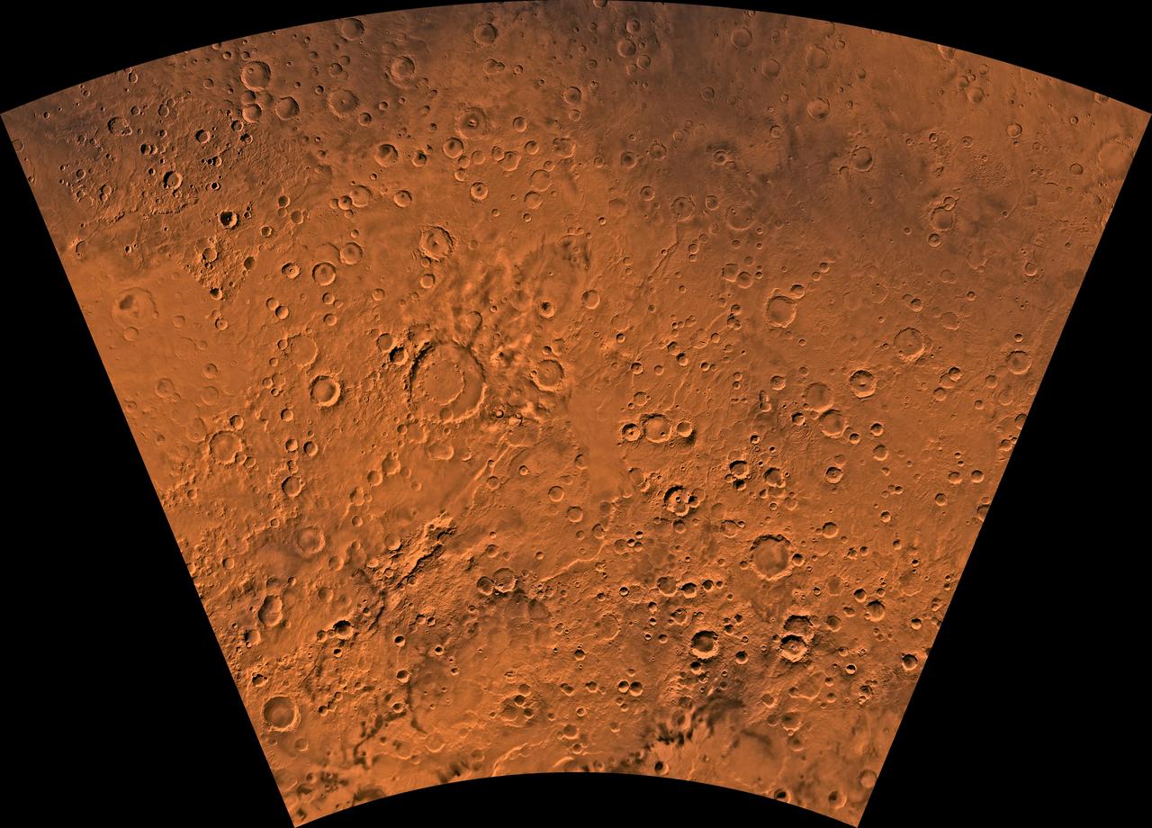
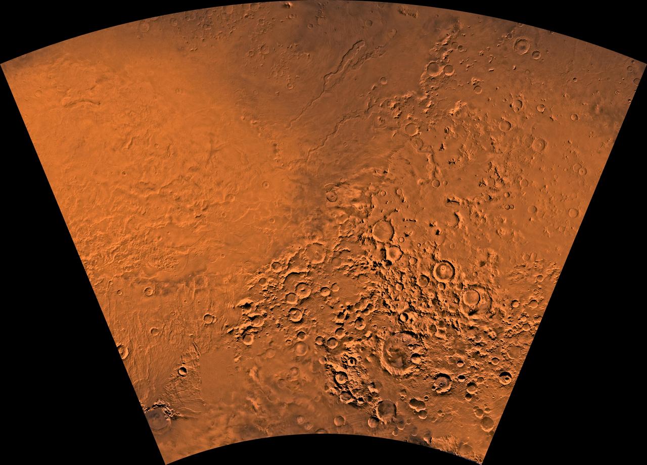
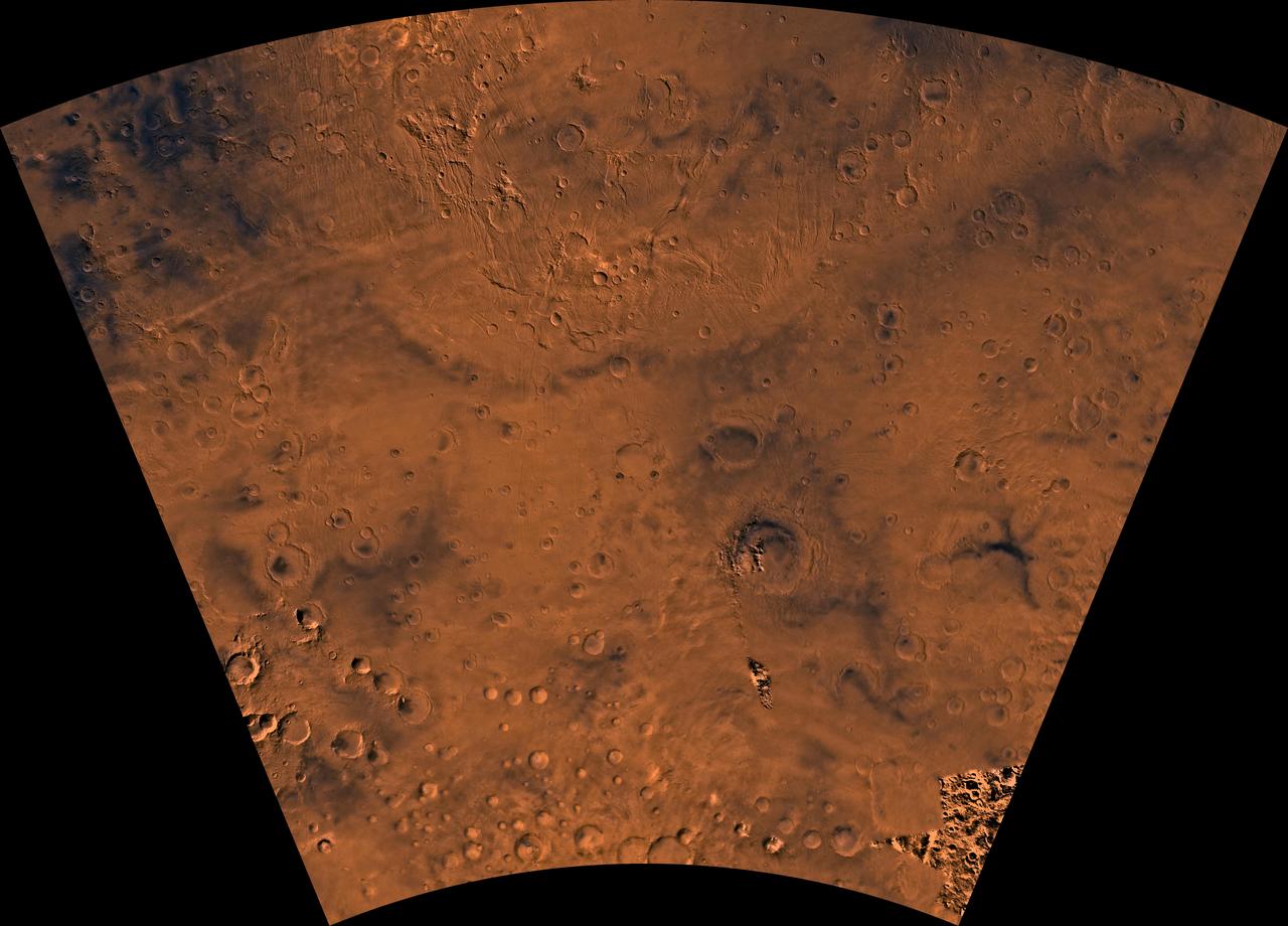
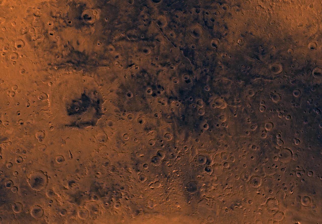
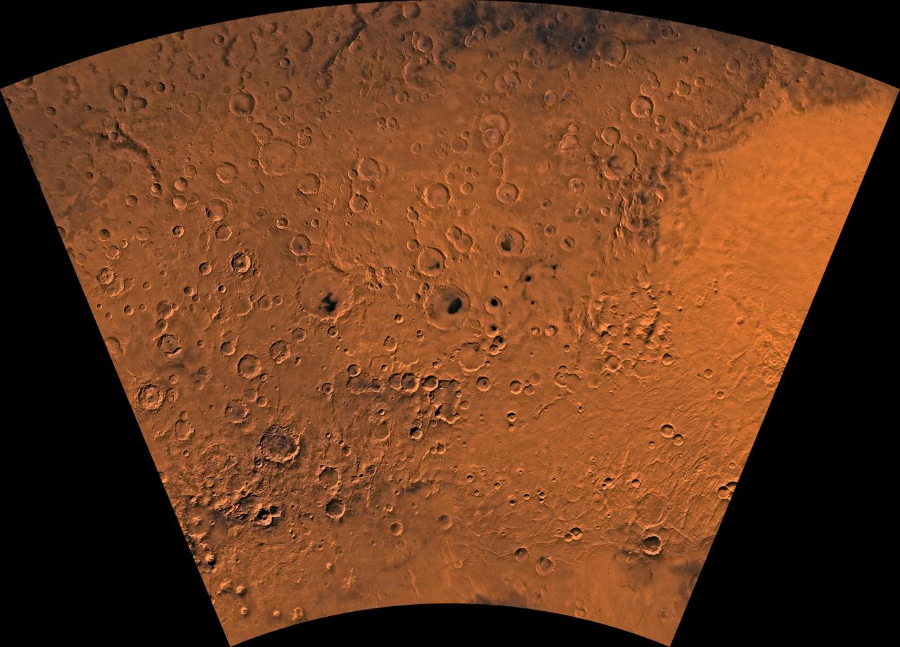
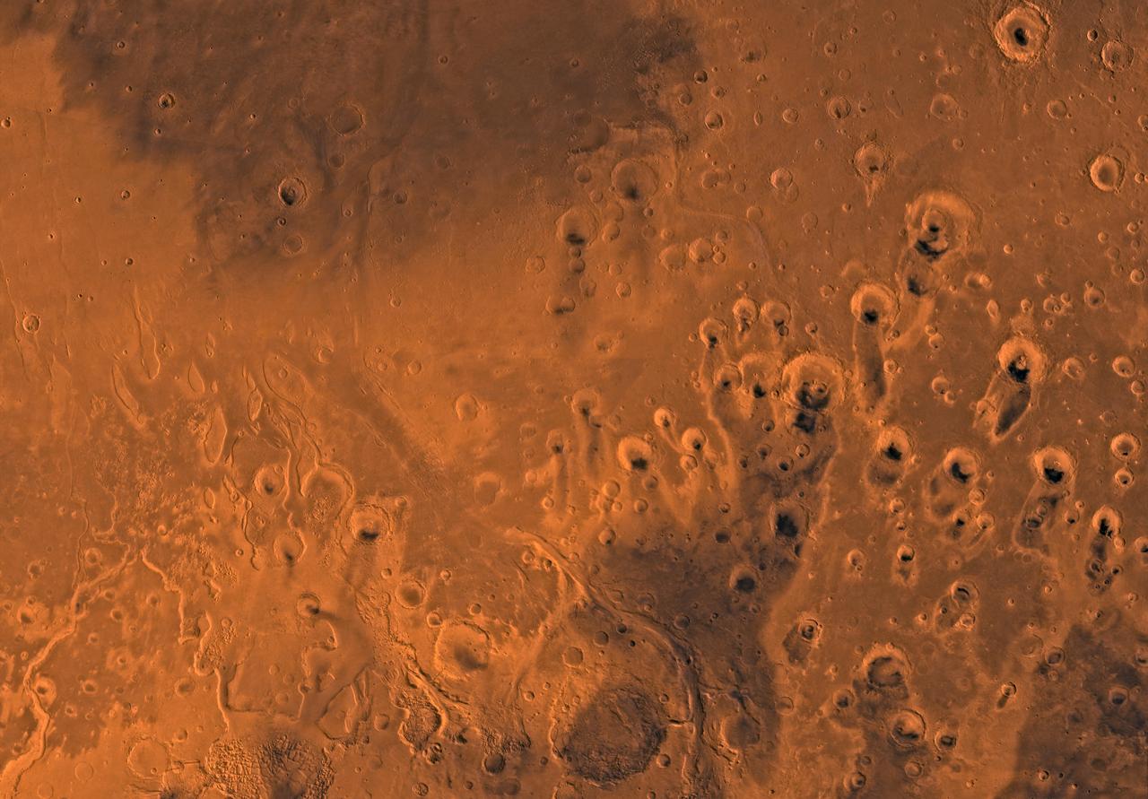
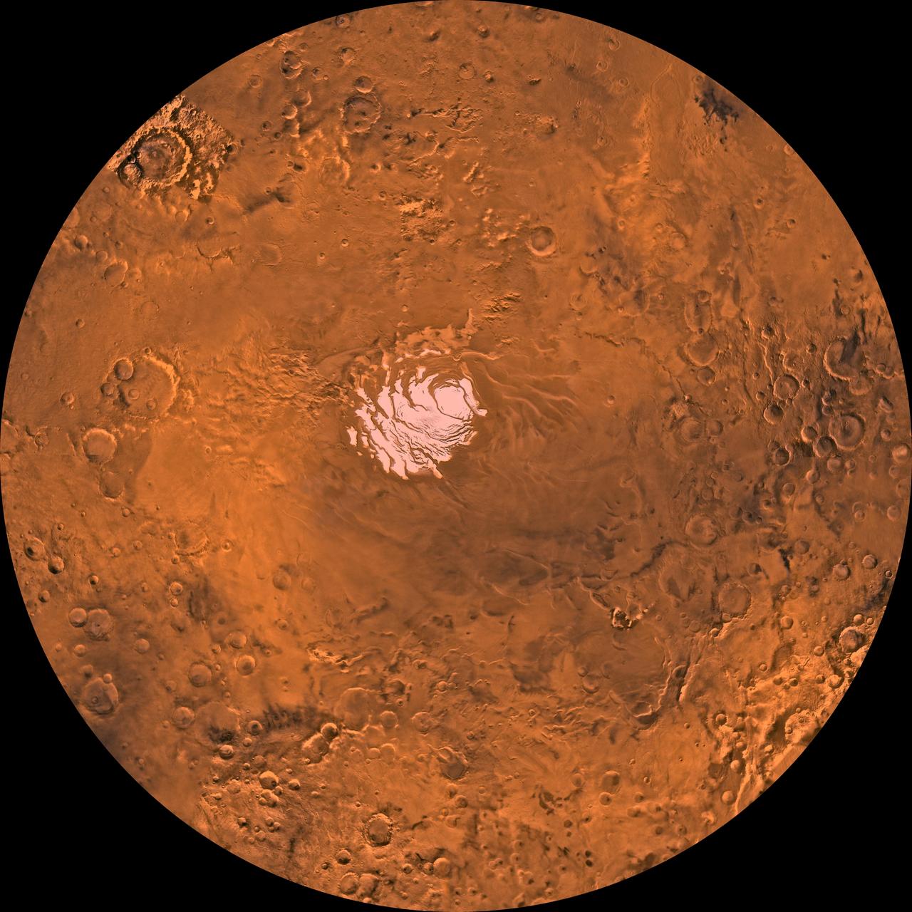
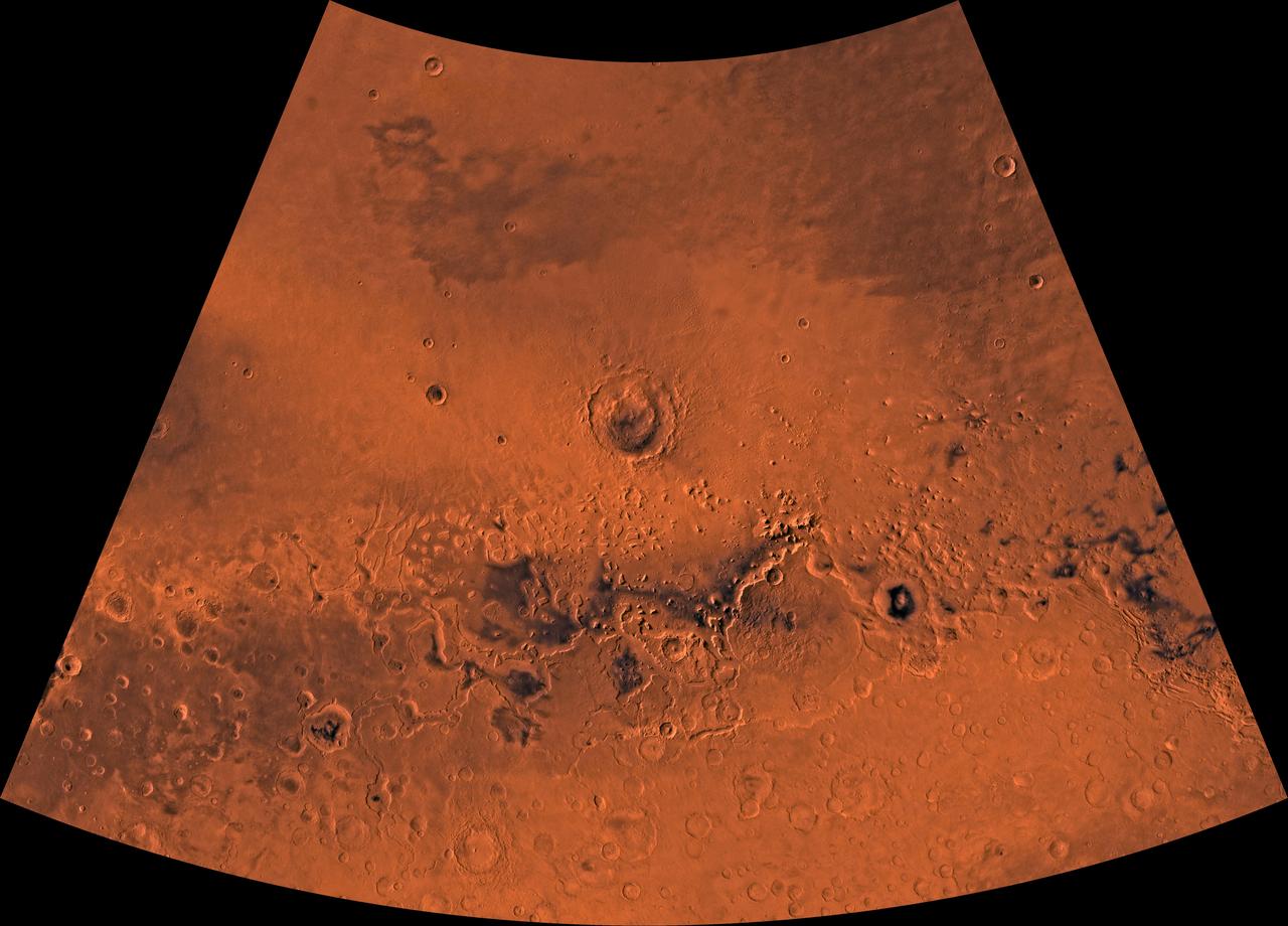
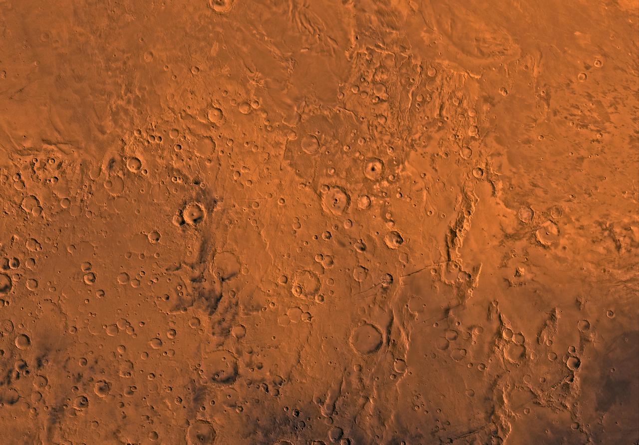
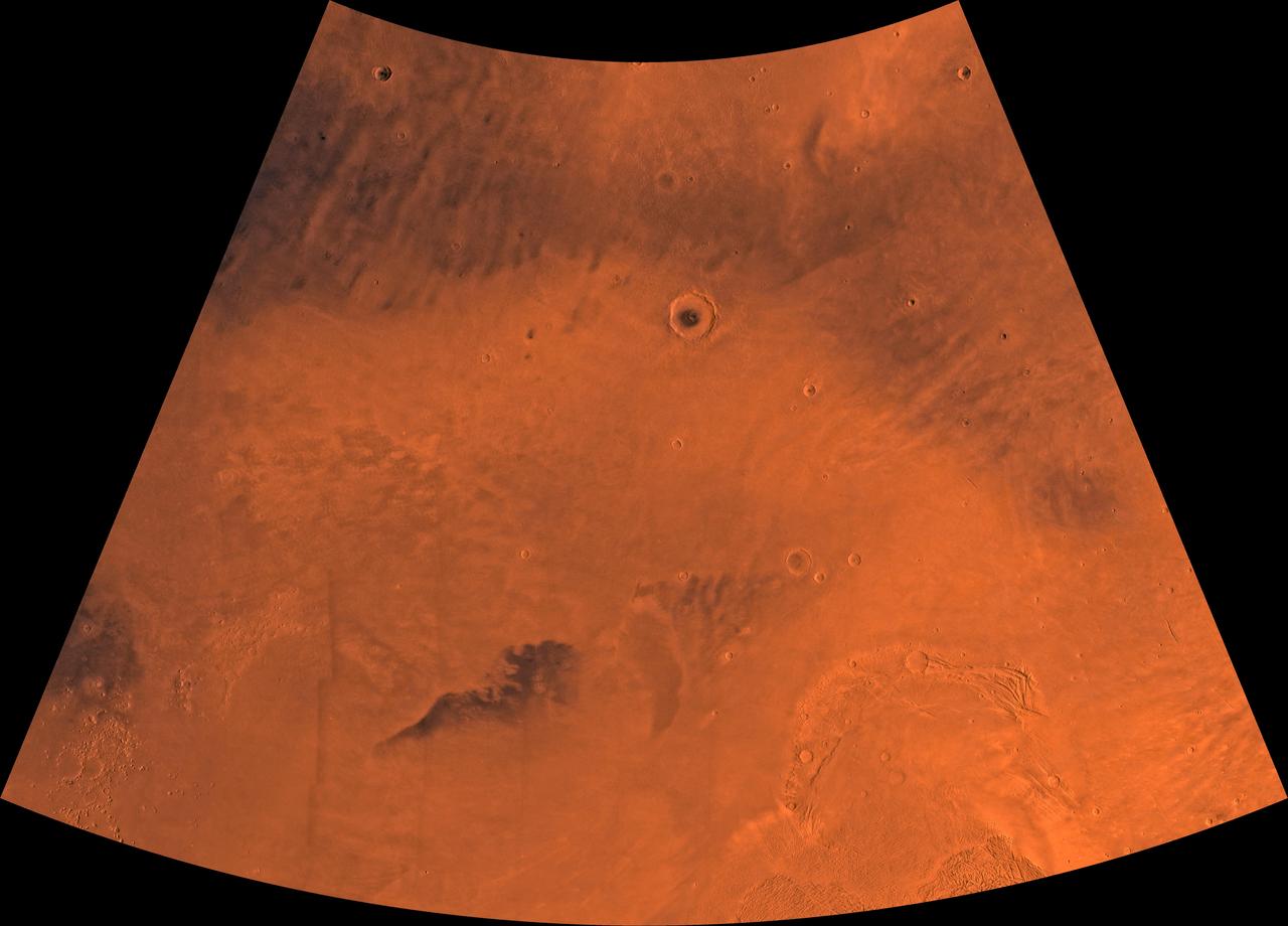
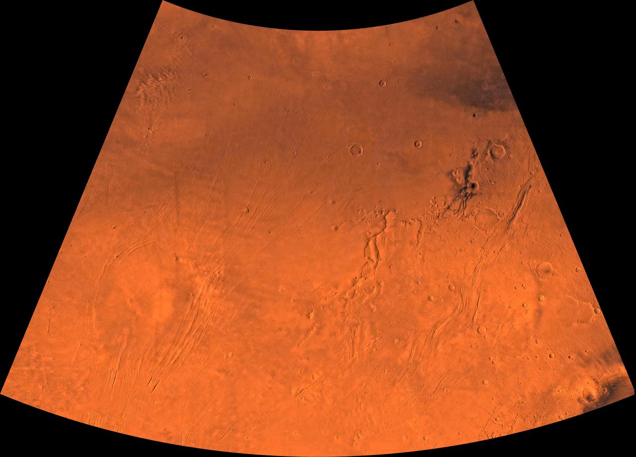
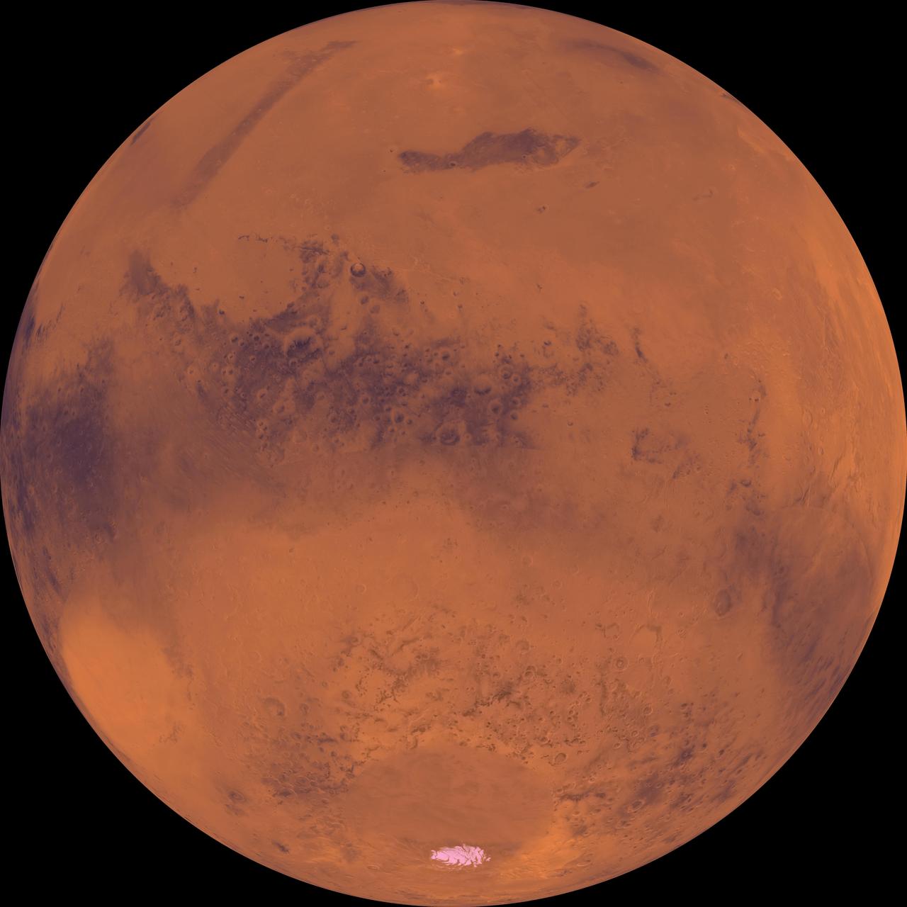
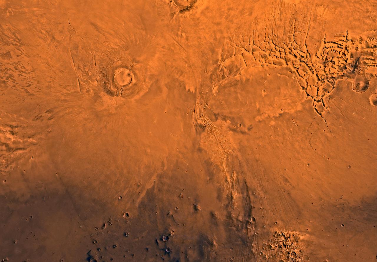
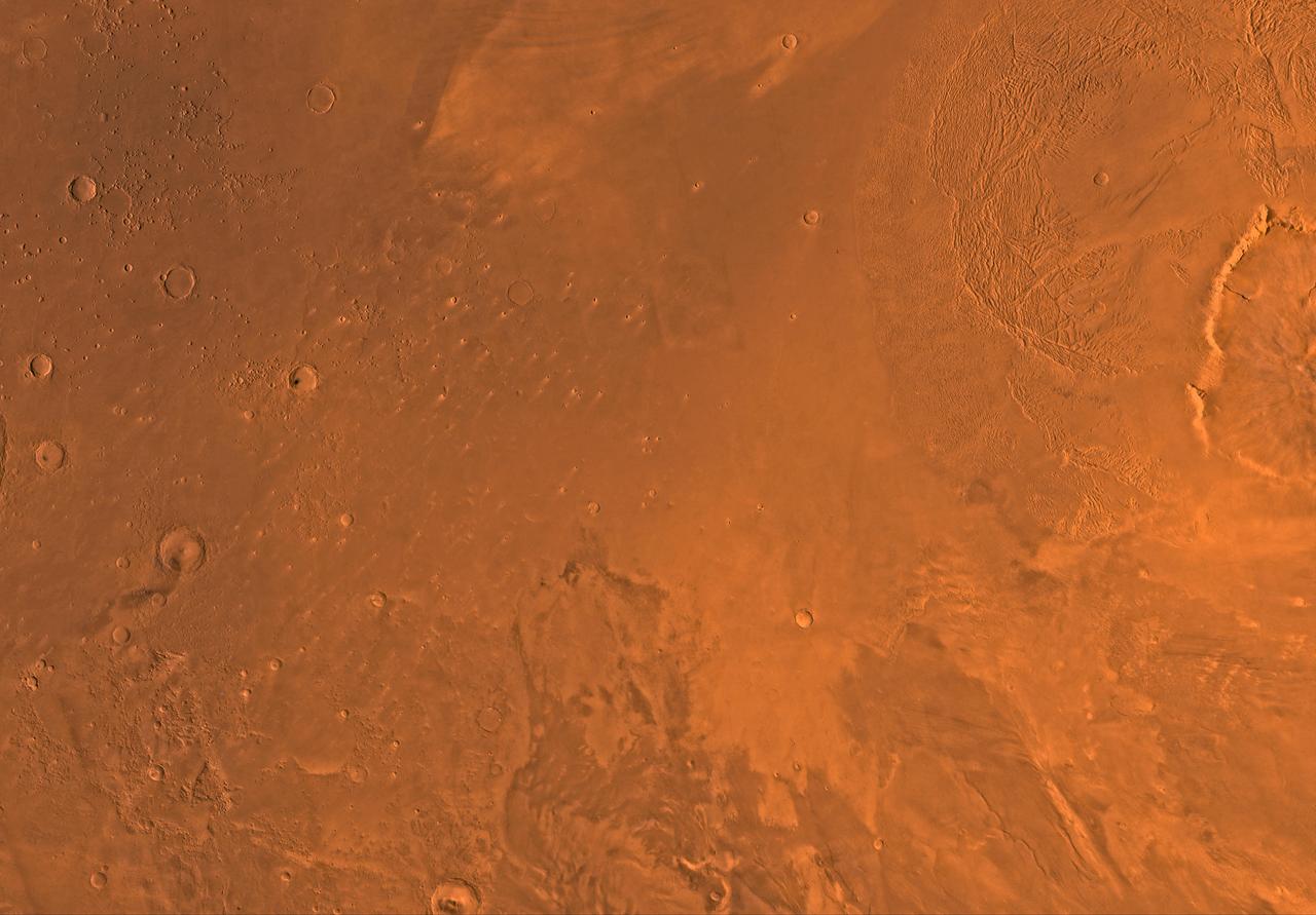
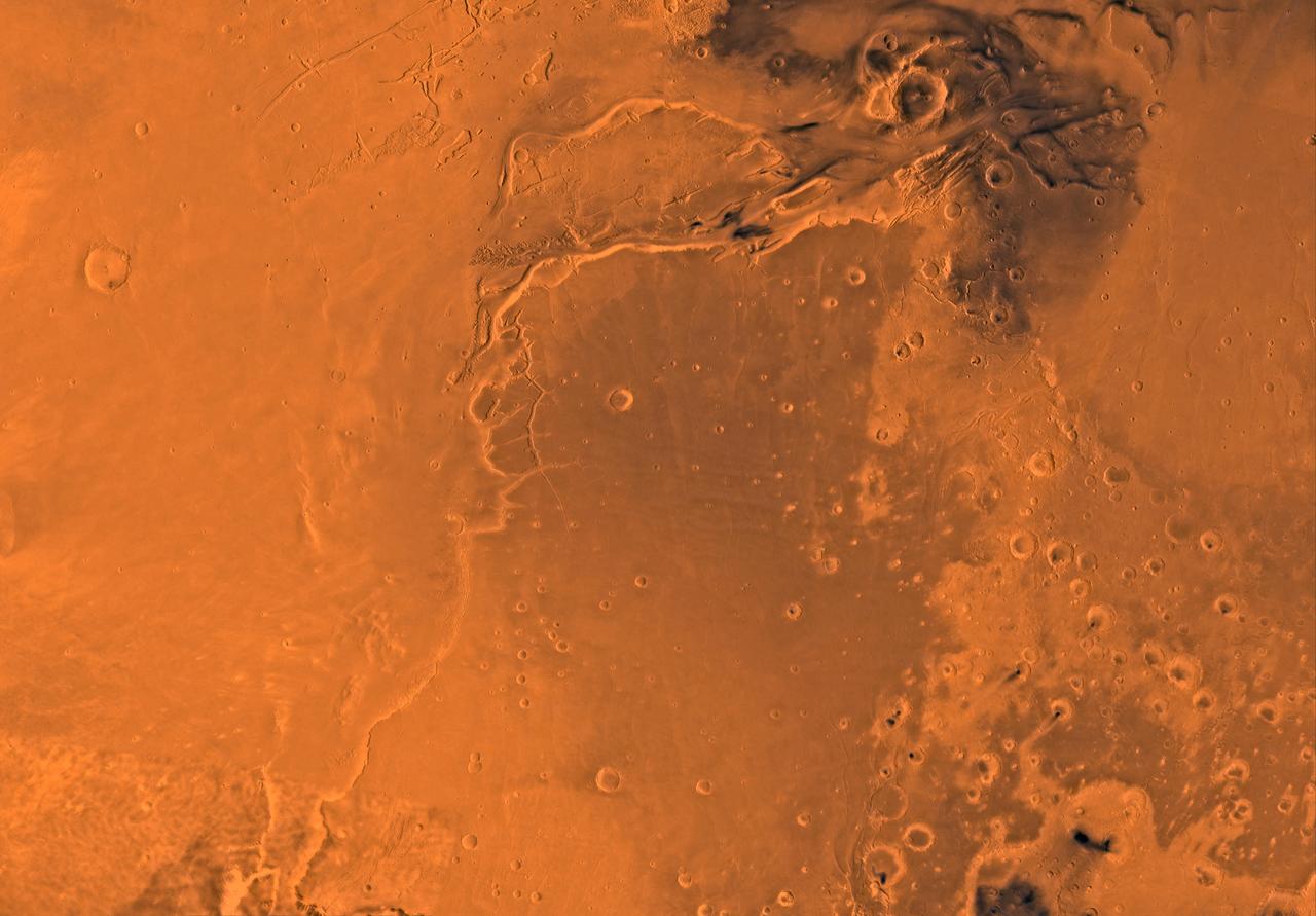
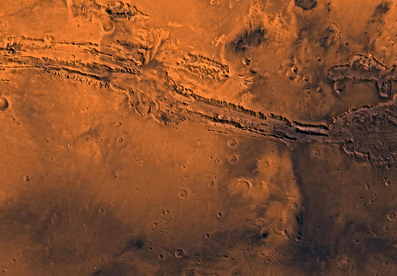
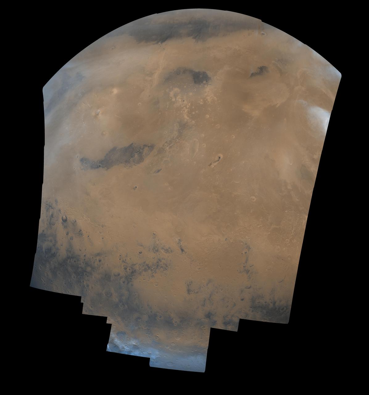
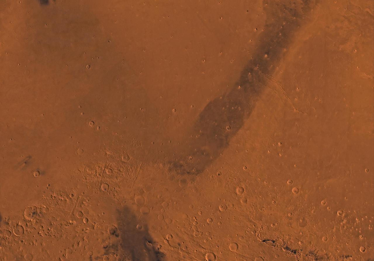
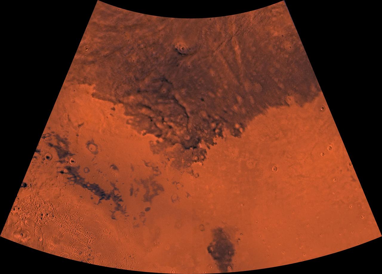
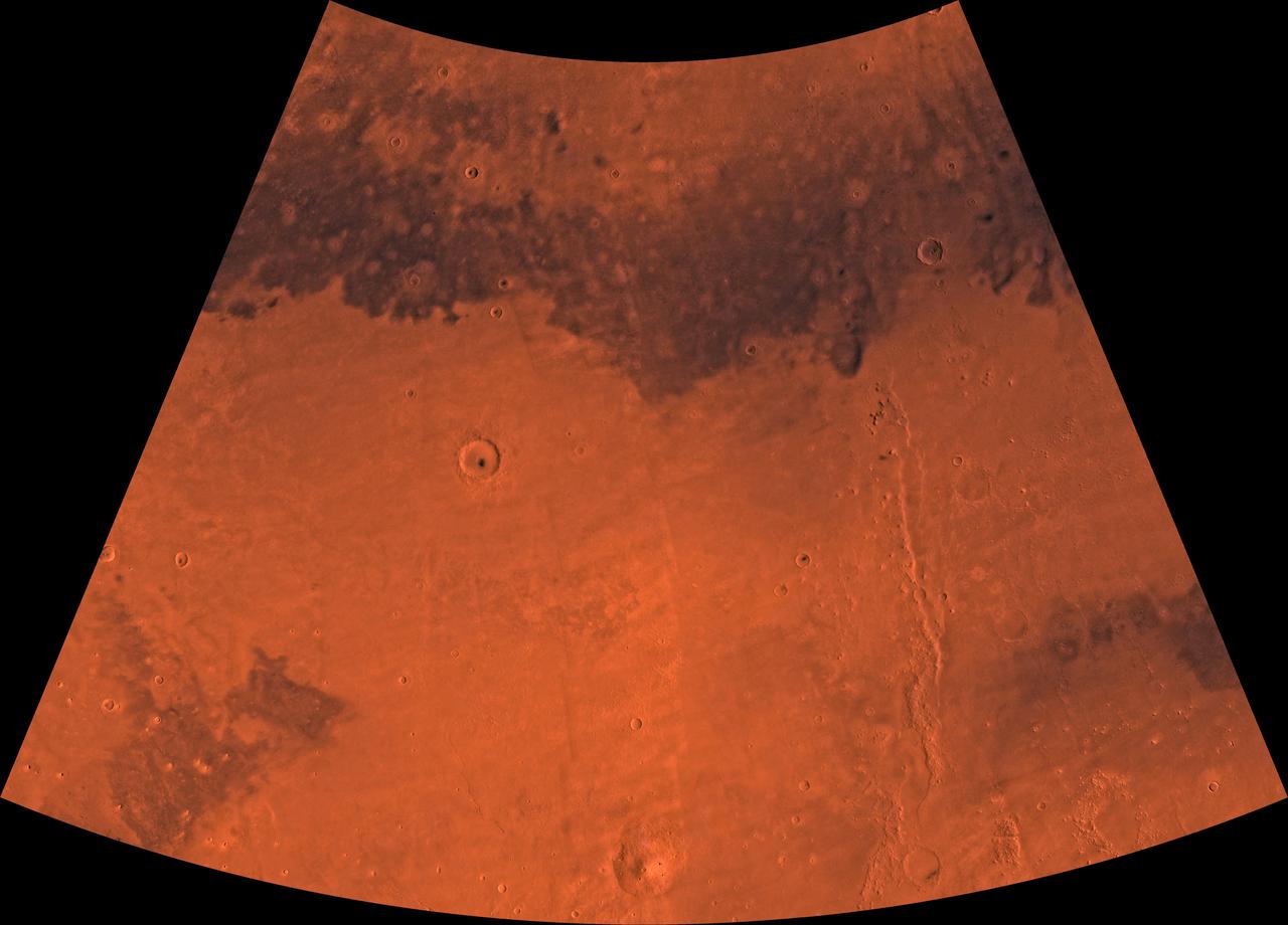
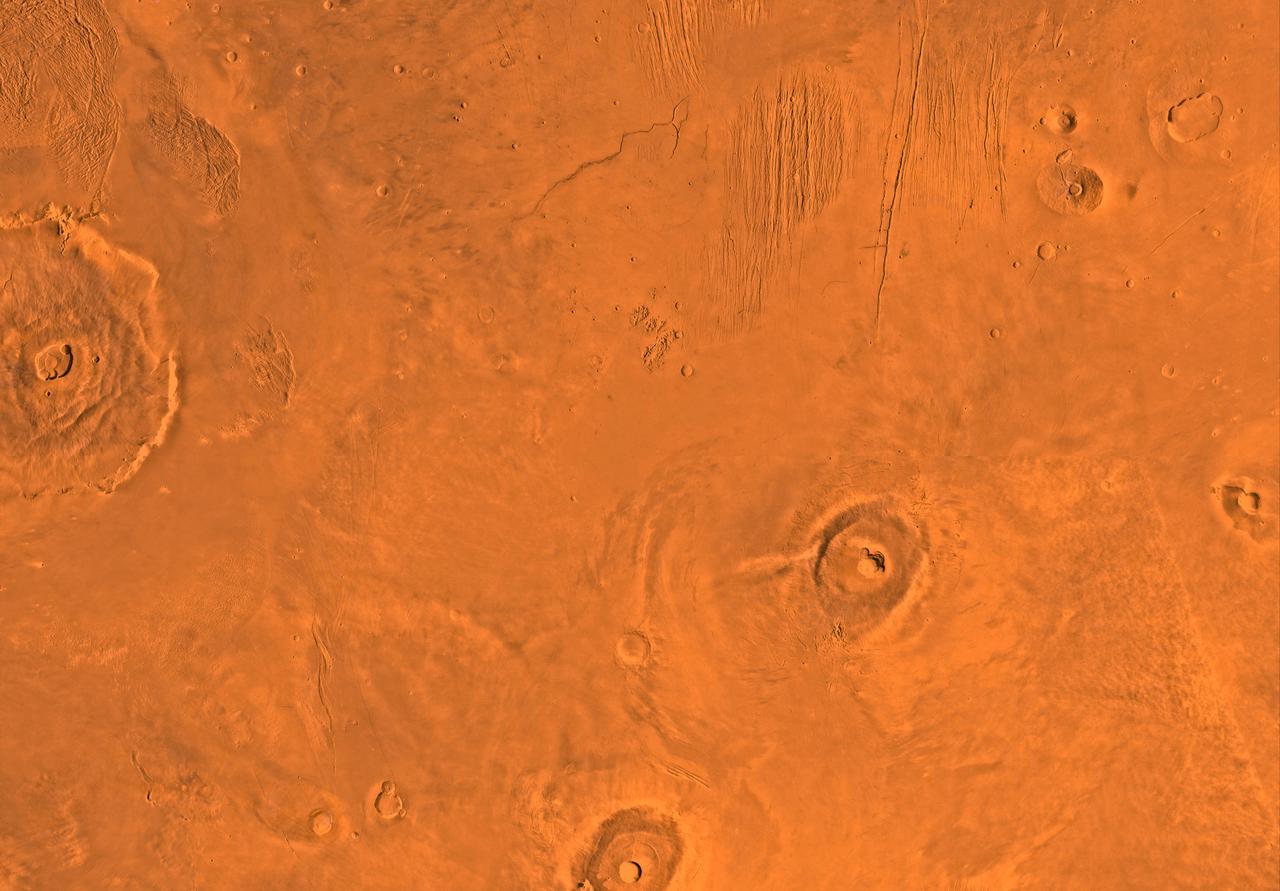
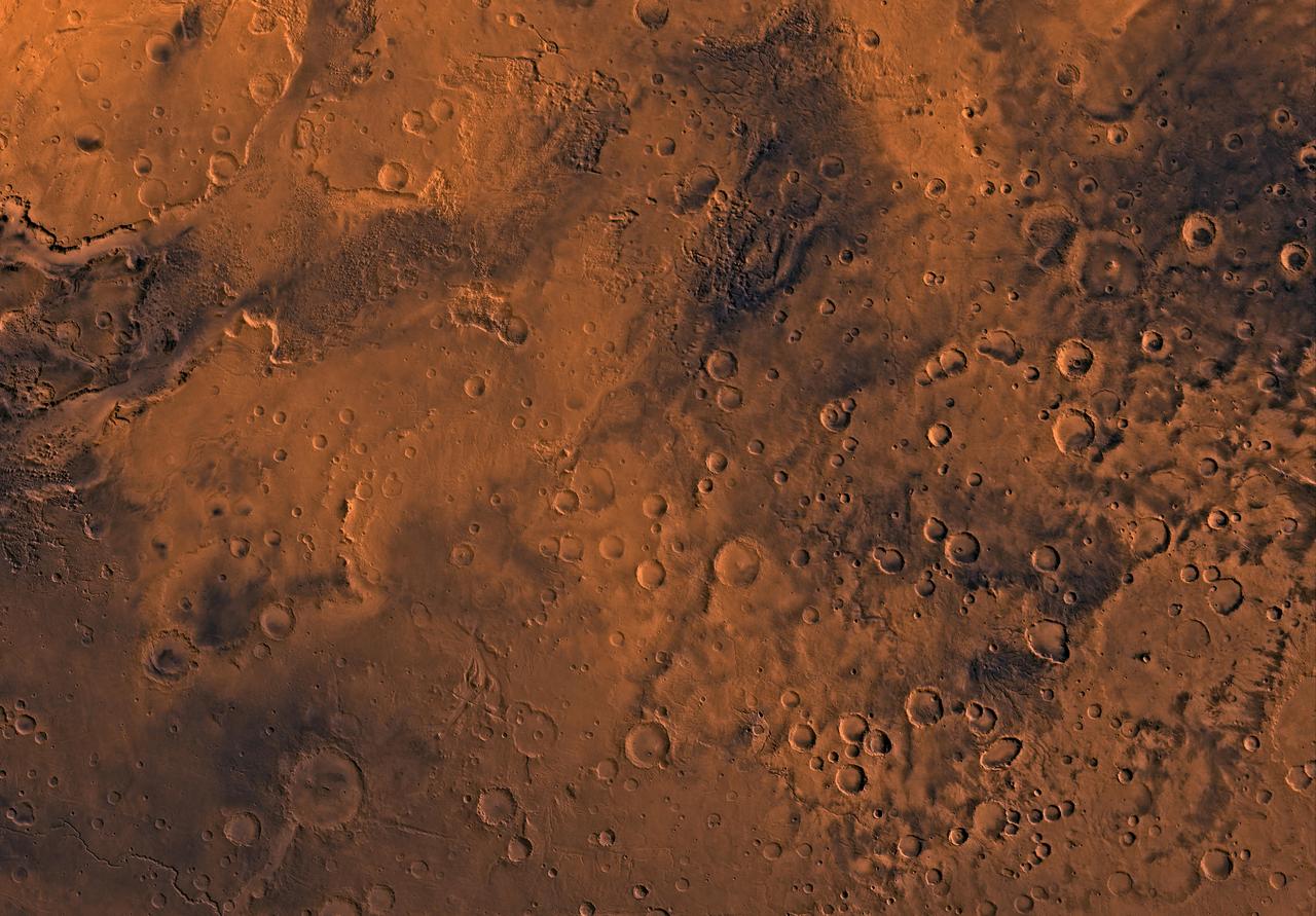
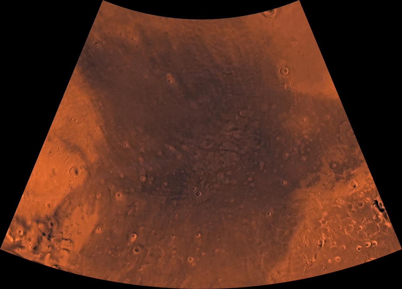
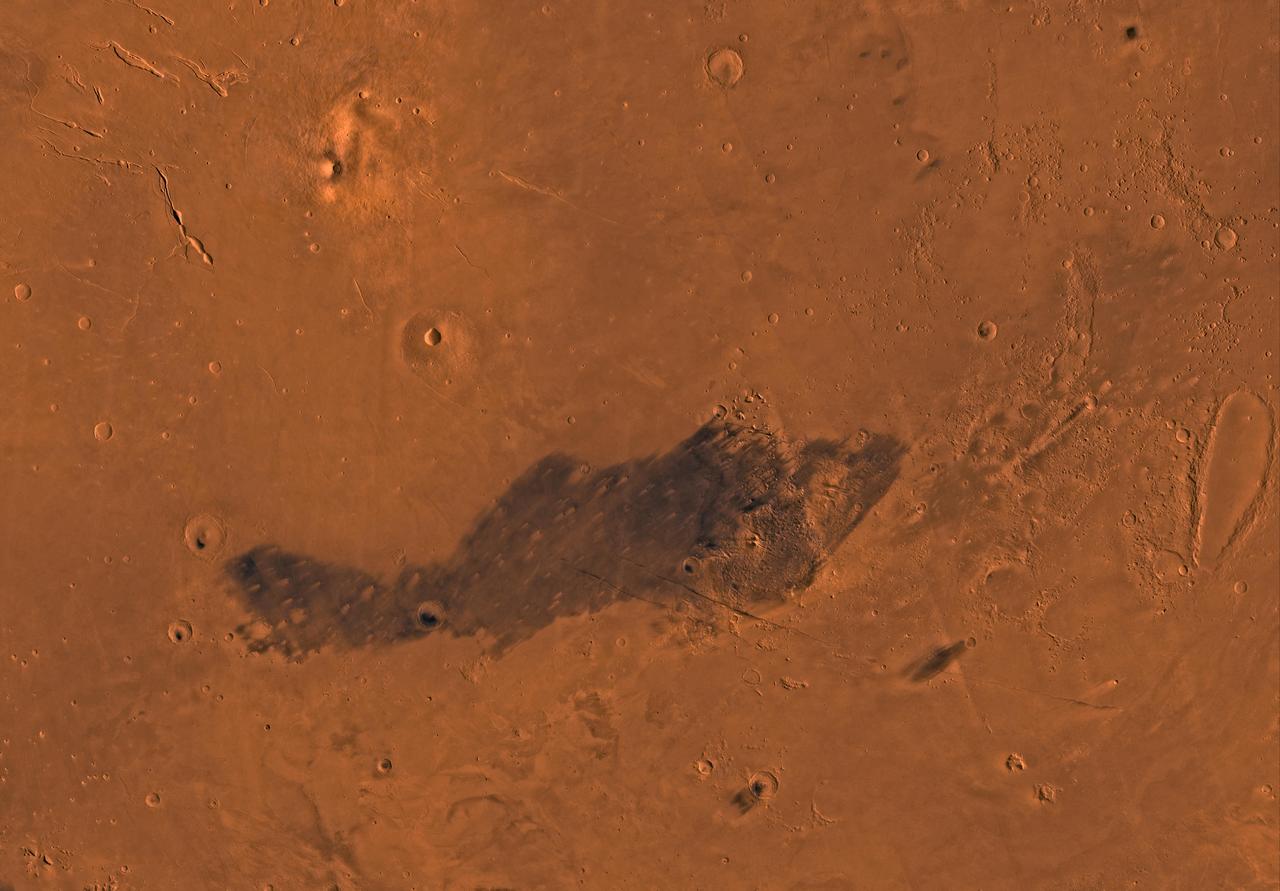
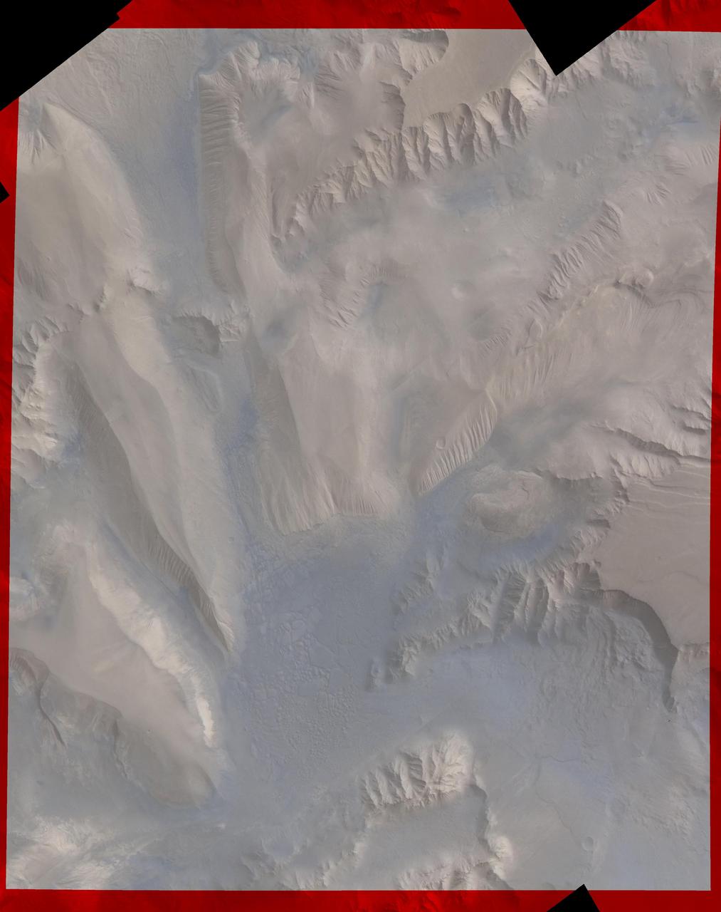
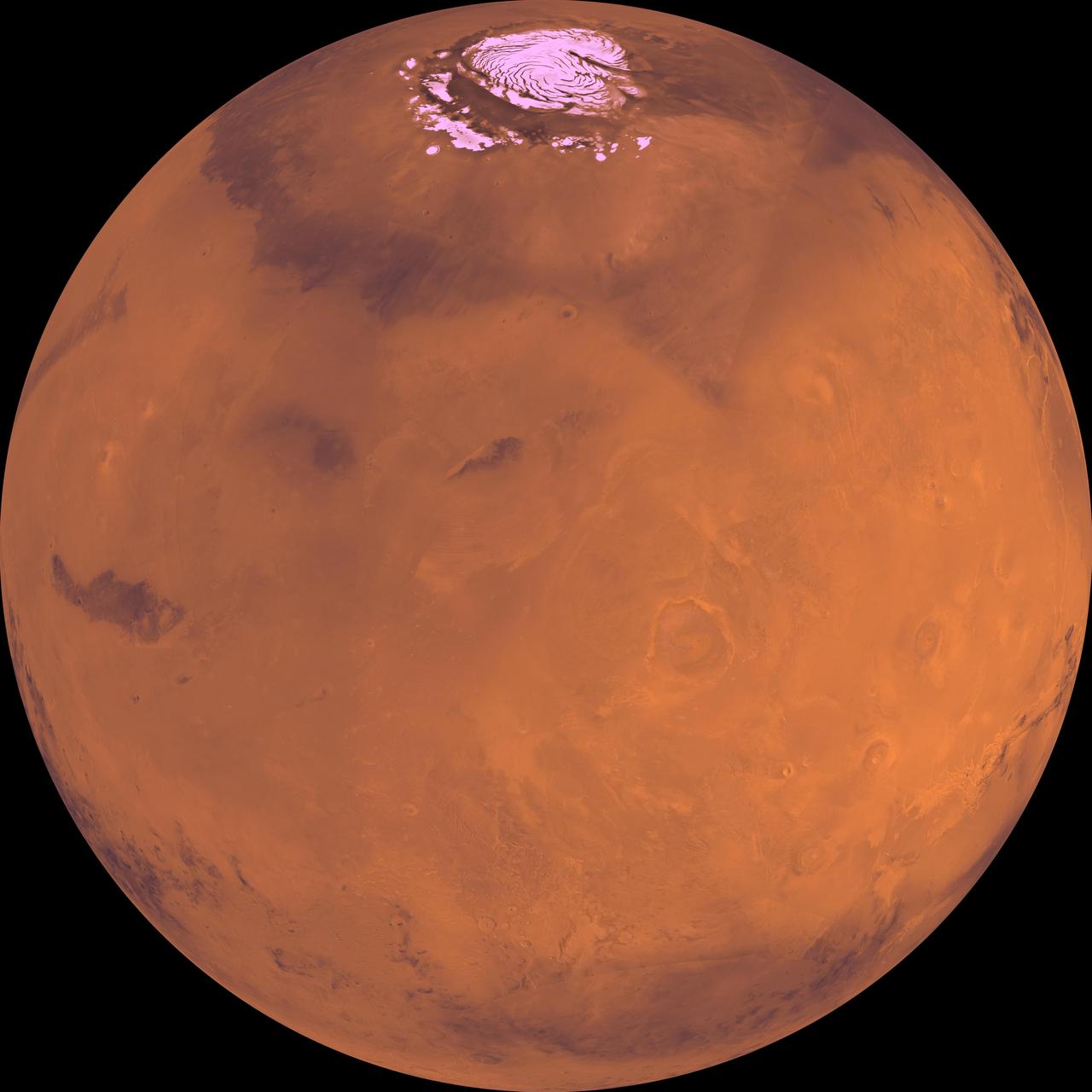
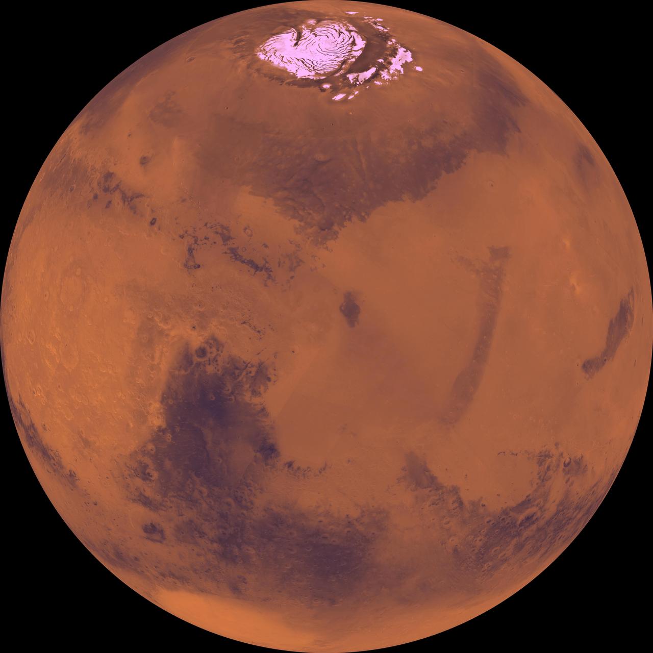
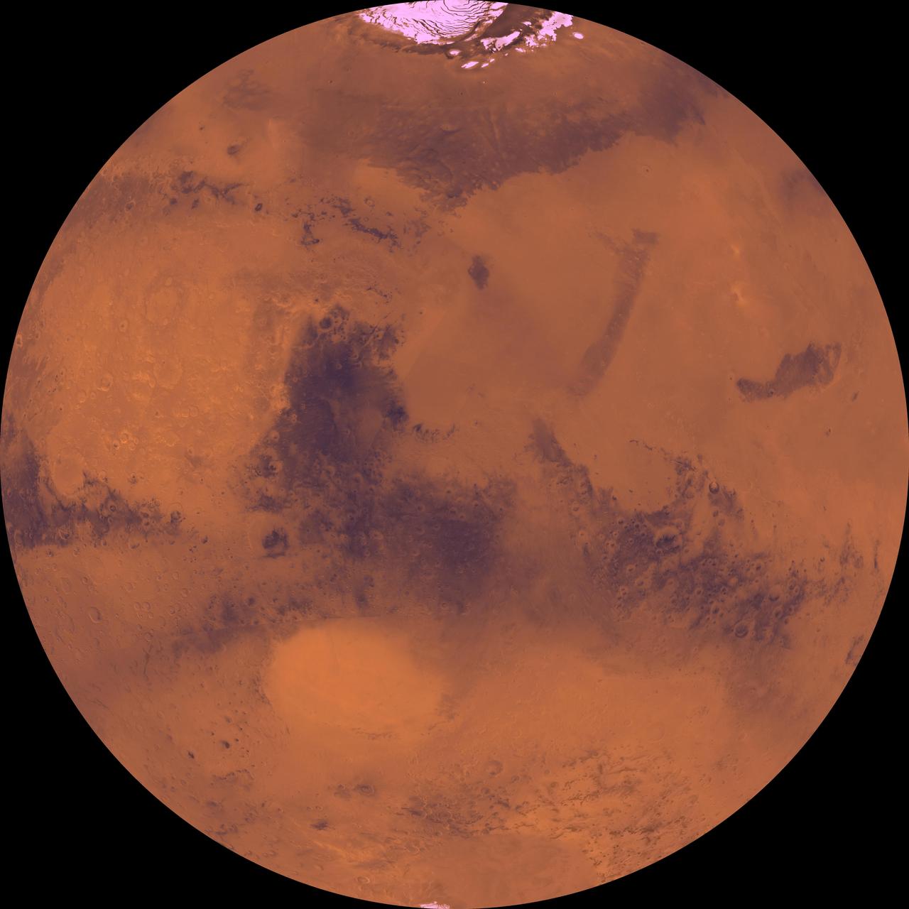
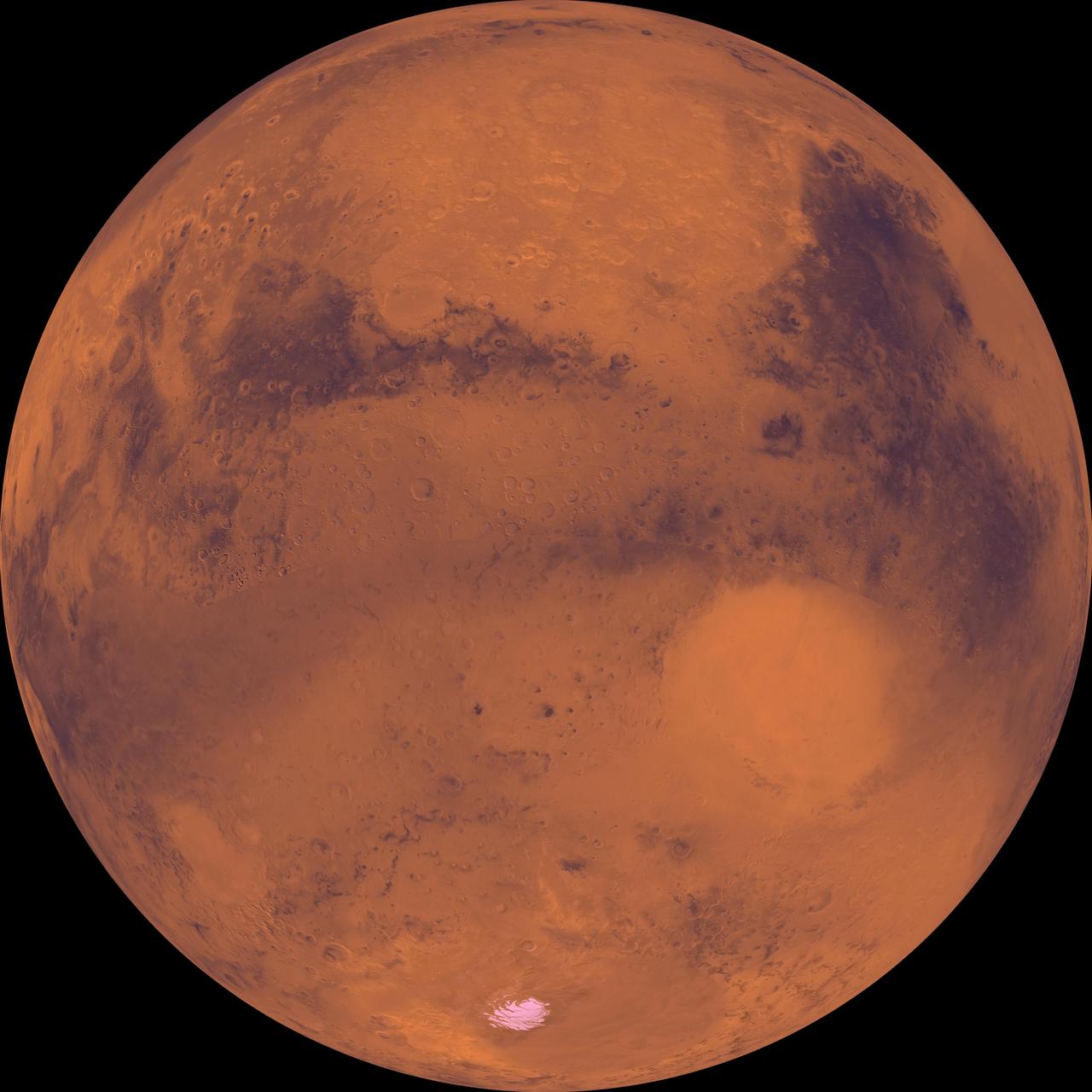
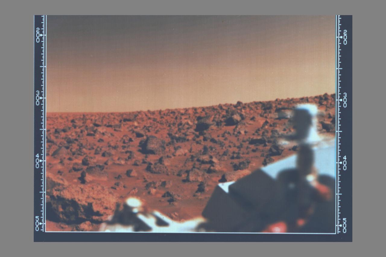
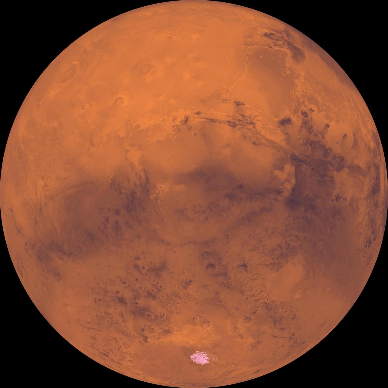
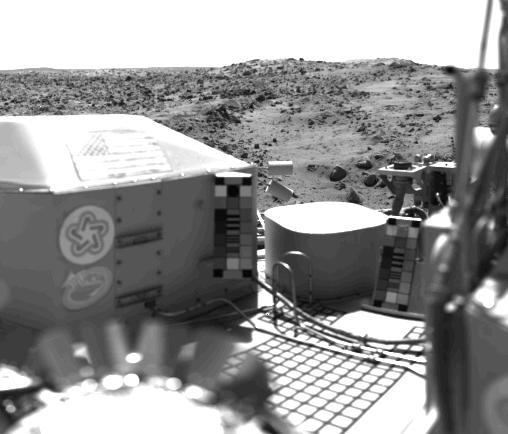
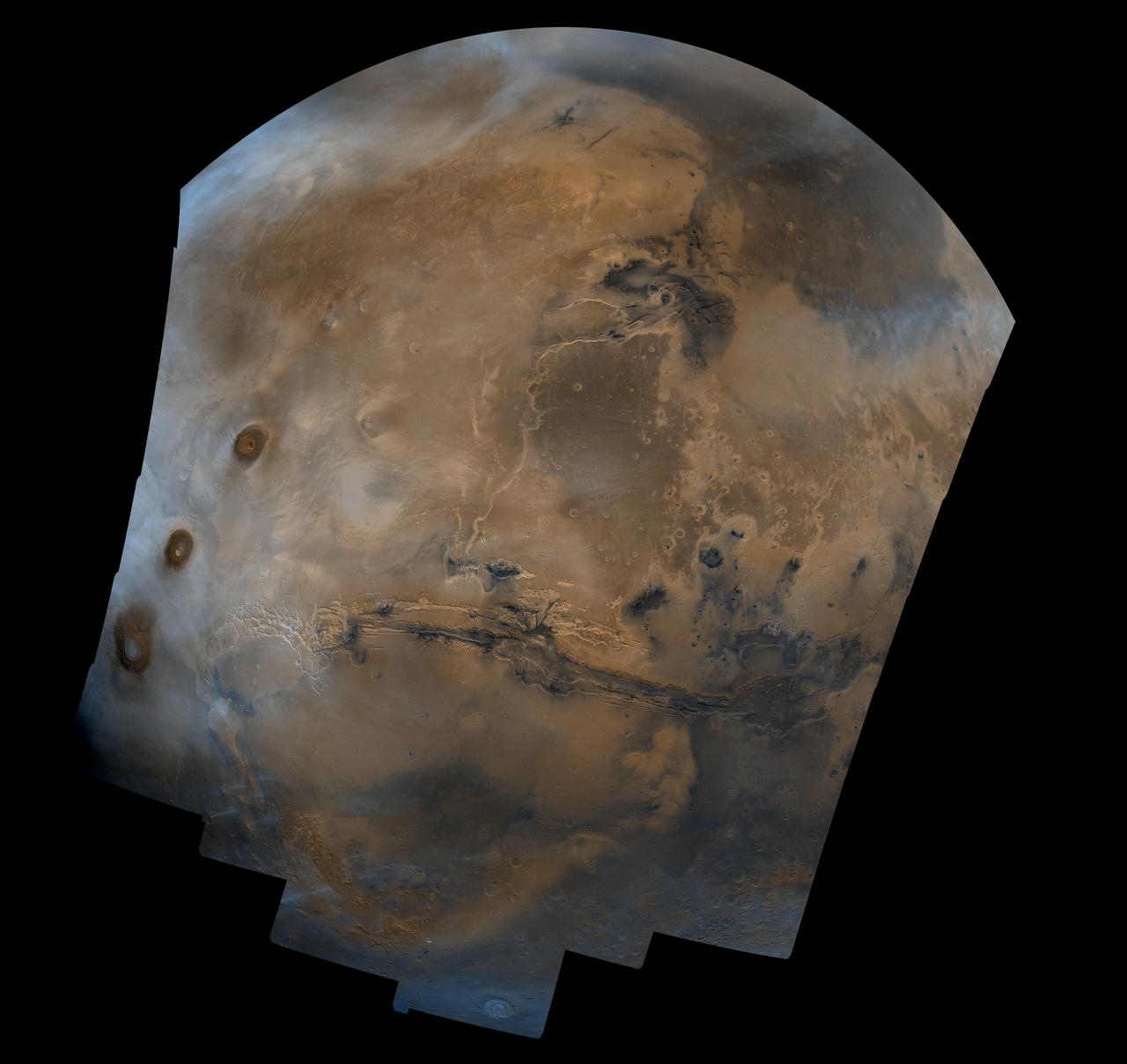
Viking Phase III
Viking Phase III
Sunset at the Viking Lander 1 Site
Frost at the Viking Lander 2 Site
The Meteorology Instrument on Viking Lander 1  http://photojournal.jpl.nasa.gov/catalog/PIA00392
The Meteorology Instrument on Viking Lander 1
Viking Lander Buried Footpad #3  http://photojournal.jpl.nasa.gov/catalog/PIA00390
Viking Lander Buried Footpad #3
NASA Viking Project found a place in history when it became the first U.S. mission to land a spacecraft successfully on the surface of Mars.
Viking Lander Model
Vivid Colors of the Viking Lander 1 Scene
First Color Image of the Viking Lander 2 Site
Viking Lander 1 U.S. Flag on Mars Surface
Viking 2 Image of Mars Utopian Plain
First Color Image From Viking Lander 1
Mars Surface near Viking Lander 1 Footpad
The Collector Head Of Viking Lander 1 Surface Sampler  http://photojournal.jpl.nasa.gov/catalog/PIA00395
The Collector Head Of Viking Lander 1 Surface Sampler
Viking Lander 2 First Picture On The Surface Of Mars  http://photojournal.jpl.nasa.gov/catalog/PIA00396
Viking Lander 2 First Picture On The Surface Of Mars
Wind Drifts at Viking 1 Landing Site
Morning on Chryse Planitia - Viking Lander 1 Camera 2 Mosaic
Afternoon on Chryse Planitia - Viking Lander 1 Camera 1 Mosaic
Morning on Chryse Planitia - Viking Lander 1 Camera 1 Mosaic
Afternoon on Chryse Planitia - Viking Lander 1 Camera 2 Mosaic
No NASA Mars orbiter has been in a position to observe morning daylight on Mars since the twin Viking orbiters of the 1970s. This image, taken by Viking Orbiter 1 on Aug. 17, 1976, shows water-ice clouds in the Valles Marineris area of equatorial Mars.
Martian Morning Clouds Seen by Viking Orbiter 1 in 1976
NASA's Viking 1 took this high-resolution picture today, its third day on Mars. Distance from the camera to the nearfield (bottom) is about 4 meters (13 feet); to the horizon, about 3 kilometers (1.8 miles). The photo shows numerous angular blocks ranging in size from a few centimeters to several meters. The surface between the blocks is composed of fine-grained material. Accumulation of some fine-grained material behind blocks indicates wind deposition of dust and sand downwind of obstacles. The large block on the horizon is about 4 meters (13 feet) wide. Distance across the horizon is about 34 meters (110 feet).  http://photojournal.jpl.nasa.gov/catalog/PIA00385
High Resolution Image From Viking Lander 1
Viking Lander 2 Gerald A. Soffen Memorial Station Imaged from Orbit
Viking Lander 1 Thomas A. Mutch Memorial Station Imaged from Orbit
This Mars view looks northeast from Nasa's Viking 1 and completes the 360 panorama of the landing site begun earlier with the spacecraft's other camera. A layer of haze can be seen in the Martian sky. Large dark boulders dominate the scene. The largest boulder (center) is about 3 meters (10 feet) wide and one meter (3 feet) high. Rocks in the foreground are lighter and appear mottled. The rocks may have been derived from lava flows or stream deposits which are visible on orbiter images. These deposits may have been redistributed by impact craters. The fine material visible between the rocks has dune morphology and appears to have been deposited by wind.  http://photojournal.jpl.nasa.gov/catalog/PIA00387
Northeast View from Viking Landing Site
Viking 2 30th!
Viking 2 30th!
Viking 1 30th!
Viking 1 30th!
NASA, Lockheed Martin S-3B Viking Aircraft #N601NA
This image, received today, shows the trench excavated by NASA's Viking 1 surface sampler. The trench was dug by extending the surface sampler collection head in a direction from lower right toward the upper left and then withdrawing the surface sampler collector head. Lumpy piles of material at end of trench at lower right was pulled by plowing from trench by the backhoe which will be used to dig trenches later in the mission. Area around trench has ripple marks produced by Martian wind. The trench which was dug early on Sol 8, is about 3 inches wide, 2 inches deep and 6 inches long. Steep dark crater walls show the grains of the Martian surface material stick together (have adhesion). The doming of the surface at far end of the trench show the granular material is dense. The Martian surface material behaves somewhat like moist sand on Earth. Evidence from the trench indicate a sample was collected and delivered to the experiments after repeated tries. The biology experiment level full indicator indicates a sample was received for analysis. The X-Ray fluorescence experiment has no indication to show it received a sample. The GCMS experiment level full indicator suggests no sample was received but this matter is being investigated.  http://photojournal.jpl.nasa.gov/catalog/PIA00389
Trench Excavated By Viking 1 Surface Sampler
The patch of dark material toward the top of this picture (arrow) taken by NASA's Viking 1 Lander is the debris kicked up by the impact of a protective cover ejected from the spacecraft at 1 a.m. today. The cylindrical cover, which bounced out of view of the camera, protects the scoop at the end of the soil sampler arm. (The scoop will dig into the Martian surface for the first time on July 28). Dust and debris atop the footpad remains as it was seen in the Lander's first picture taken immediately after landing two days ago. No wind modification is apparent. On the surface, a variety of block sizes, shapes and tones are seen, and some rocks are Partially buried.  http://photojournal.jpl.nasa.gov/catalog/PIA00384
Debris Kicked Up By Impact of A Protective Cover from Viking Lander 1
Plains West of Viking Lander 2
NASA, Lockheed Martin S-3B Viking Aircraft #N601NA, Unmanned Aircraft Communications Project
Opportunity View of Viking Crater, Sol 421
This photo shows NASA Glenn’s S-3 Viking Aircraft flying over downtown Cleveland, Ohio. The S-3 continues to conduct important research including regular flights over Lake Erie and other waterways to image algal blooms that have plagued the area’s waters.
NASA S-3 Viking Aircraft
Lockheed S-3B Viking, N601NA at Sunrise on the Glenn Research Center Hangar Apron
Lockheed S-3 Viking, N601NA at Sunrise
Glenn Research Center, Lockheed S-3 Viking Research Aircraft, N601NA at Sunrise
Lockheed S-3 Viking, N601NA at Sunrise
Mars digital-image mosaic merged with color of the MC-21 quadrangle, Iapygia region of Mars. This image is from NASA Viking Orbiter 1.
MC-21 Iapygia Region
Mars digital-image mosaic merged with color of the MC-20 quadrangle, Sinus Sabeus region of Mars. This image is from NASA Viking Orbiter 1.
MC-20 Sinus Sabeus Region
Mars digital-image mosaic merged with color of the MC-26 quadrangle, Argyre region of Mars. This image is from NASA Viking Orbiter 1.
MC-26 Argyre Region
Mars digital-image mosaic merged with color of the MC-23 quadrangle, Aeolis region of Mars. This image is from NASA Viking Orbiter 1.
MC-23 Aeolis Region
Mars digital-image mosaic merged with color of the MC-29 quadrangle, Eridania region of Mars. This image is from NASA Viking Orbiter 1.
MC-29 Eridania Region
Mars digital-image mosaic merged with color of the MC-28 quadrangle, Hellas region of Mars. This image is from NASA Viking Orbiter 1.
MC-28 Hellas Region
Mars digital-image mosaic merged with color of the MC-22 quadrangle, Mare Tyrrhenum region of Mars. This image is from NASA Viking Orbiter 1.
MC-22 Mare Tyrrhenum Region
Mars digital-image mosaic merged with color of the MC-27 quadrangle, Noachis region of Mars. This image is from NASA Viking Orbiter 1.
MC-27 Noachis Region
Mars digital-image mosaic merged with color of the MC-24 quadrangle, Phaethontis region of Mars. This image is from NASA Viking Orbiter 1.
MC-24 Phaethontis Region
Mars digital-image mosaic merged with color of the MC-25 quadrangle, Thaumasia region of Mars. This image is from NASA Viking Orbiter 1.
MC-25 Thaumasia Region
NASA, Lockheed Martin S-3B Viking Aircraft #N601NA, prepares for departure from Cleveland Hopkins Airport in support of the Unmanned Aircraft Communications Project
NASA, Lockheed Martin S-3B Viking Aircraft #N601NA, Unmanned Aircraft Communications Project
NASA, Lockheed Martin S-3B Viking Aircraft #N601NA, takes off from Cleveland Hopkins Airport, in support of the Unmanned Aircraft Communications Project
NASA, Lockheed Martin S-3B Viking Aircraft #N601NA, Unmanned Aircraft Communications Project
Viking History of Water on Mars Composite Study done by Chris McKay, Ames Scientist. Art by Michael Carroll
ARC-1969-AC90-0559-2
Viking History of Water on Mars Composite Study done by Chris McKay, Ames Scientist. Art by Michael Carroll
ARC-1969-AC90-0559-4
Viking History of Water on Mars Composite Study done by Chris McKay, Ames Scientist. Art by Michael Carroll
ARC-1969-AC90-0559-1
Mars digital-image mosaic merged with color of the MC-3 quadrangle, Arcadia region of Mars. This image is from NASA's Viking Orbiter 1.  http://photojournal.jpl.nasa.gov/catalog/PIA00163
MC-3 Arcadia Region
Mars digital-image mosaic merged with color of the MC-1 quadrangle, Mare Boreum region of Mars. This image is from NASA's Viking Orbiter 1.  http://photojournal.jpl.nasa.gov/catalog/PIA00161
MC-1 Mare Boreum Region
Mars digital-image mosaic merged with color of the MC-18 quadrangle, Coprates region of Mars. This image is from NASA's Viking Orbiter 1.  http://photojournal.jpl.nasa.gov/catalog/PIA00178
MC-18 Coprates Region
Mars digital-image mosaic merged with color of the MC-19 quadrangle, Margaritifer Sinus region of Mars. This image is from NASA's Viking Orbiter 1.  http://photojournal.jpl.nasa.gov/catalog/PIA00179
MC-19 Margaritifer Sinus Region
Water ice mixed with dust form the residual north polar ice cap brown color in these images from NASA's Viking Orbiter 2.  http://photojournal.jpl.nasa.gov/catalog/PIA00152
North Polar Cap Margin natural color top and enhanced color bottom
Mars digital-image mosaic merged with color of the MC-15 quadrangle, Elysium region of Mars. This image is from NASA's Viking Orbiter 1.  http://photojournal.jpl.nasa.gov/catalog/PIA00175
MC-15 Elysium Region
Mars digital-image mosaic merged with color of the MC-6 quadrangle, Casius region of Mars. This image is from NASA's Viking Orbiter 1.  http://photojournal.jpl.nasa.gov/catalog/PIA00166
MC-6 Casius Region
Mars digital-image mosaic merged with color of the MC-11 quadrangle, Oxia Palus region of Mars. This image is from NASA's Viking Orbiter 1.  http://photojournal.jpl.nasa.gov/catalog/PIA00171
MC-11 Oxia Palus Region
The lowland plains of Elysium and Utopia Planitiae are separated from the darker heavily cratered highlands by a broad escarpment in this image from NASA's Viking Orbiter 1.  http://photojournal.jpl.nasa.gov/catalog/PIA00196
Center is at Latitude 30 Degrees South, Longitude 210 Degrees
Mars digital-image mosaic merged with color of the MC-5 quadrangle, Ismenius Lacus region of Mars. This image is from NASA's Viking Orbiter 1.  http://photojournal.jpl.nasa.gov/catalog/PIA00165
MC-5 Ismenius Lacus Region
Mars digital-image mosaic merged with color of the MC-10 quadrangle, Lanae Palus region of Mars. This image is from NASA's Viking Orbiter 1.  http://photojournal.jpl.nasa.gov/catalog/PIA00170
MC-10 Lanae Palus Region
Mars digital-image mosaic merged with color of the MC-2 quadrangle, Diacria region of Mars. This image is from NASA's Viking Orbiter 1.  http://photojournal.jpl.nasa.gov/catalog/PIA00162
MC-2 Diacria Region
This mosaic is composed of 104 images from NASA's Viking Orbiter acquired on February 11, 1980. At that time, it was early northern summer on Mars.  http://photojournal.jpl.nasa.gov/catalog/PIA00091
Cerberus Hemisphere
Mars digital-image mosaic merged with color of the MC-17 quadrangle, Phoenicis Lacus region of Mars. This image is from NASA's Viking Orbiter 1.  http://photojournal.jpl.nasa.gov/catalog/PIA00177
MC-17 Phoenicis Region
Mars digital-image mosaic merged with color of the MC-9 quadrangle, Tharsis region of Mars. This image is from NASA's Viking Orbiter 1.  http://photojournal.jpl.nasa.gov/catalog/PIA00169
Mc-9 Tharsis Region
Mars digital-image mosaic merged with color of the MC-7 quadrangle, Cebrenia region of Mars. This image is from NASA's Viking Orbiter 1.  http://photojournal.jpl.nasa.gov/catalog/PIA00167
MC-7 Cebrenia Region
Mars digital-image mosaic merged with color of the MC-14 quadrangle, Amenthes region of Mars. This image is from NASA's Viking Orbiter 1.  http://photojournal.jpl.nasa.gov/catalog/PIA00174
MC-14 Amenthes Region
Mars digital-image mosaic merged with color of the MC-16 quadrangle, Memnonia region of Mars. This image is from NASA's Viking Orbiter 1.  http://photojournal.jpl.nasa.gov/catalog/PIA00176
MC-16 Memnonia Region
Mars digital-image mosaic merged with color of the MC-8 quadrangle, Amazonis region of Mars. This image is from NASA's Viking Orbiter 1.  http://photojournal.jpl.nasa.gov/catalog/PIA00168
MC-8 Amazonis Region
Mars digital-image mosaic merged with color of the MC-4 quadrangle, Mare Acidalium region of Mars. This image is from NASA's Viking Orbiter 1.  http://photojournal.jpl.nasa.gov/catalog/PIA00164
MC-4 Mare Acidalium Region
Mars digital-image mosaic merged with color of the MC-30 quadrangle, Mare Australe region of Mars. This image is from NASA's Viking Orbiter 1.  http://photojournal.jpl.nasa.gov/catalog/PIA00190
MC-30 Mare Australe Region
Mars digital-image mosaic merged with color of the MC-12 quadrangle, Arabia region of Mars. This image is from NASA's Viking Orbiter 1.  http://photojournal.jpl.nasa.gov/catalog/PIA00172
MC-12 Arabia Region
Mars digital-image mosaic merged with color of the MC-13 quadrangle, Syrtis Major region of Mars. This image is from NASA's Viking Orbiter 1.  http://photojournal.jpl.nasa.gov/catalog/PIA00173
MC-13 Syrtis Major Region
Part of Candor Chasm in Valles Marineris, Mars. Layered terrain is visible in the scene from NASA Viking Orbiter 1, perhaps due to a huge ancient lake.  http://photojournal.jpl.nasa.gov/catalog/PIA00199
Candor Chasm in Valles Marineris
Shown here is an oblique view of the polar region, as seen with NASA Viking 1 spacecraft orbiting Mars over latitude 39 degrees north.  http://photojournal.jpl.nasa.gov/catalog/PIA00009
North Polar Ice Cap
The north polar residual ice cap, which is cut by spiral-patterned troughs, is located at the top in this view from NASA's Viking Orbiter 1.  http://photojournal.jpl.nasa.gov/catalog/PIA00192
Center is at Latitude 30 Degrees North, Longitude 30 Degrees
Retirement and Departure of the Lockheed S-3B Viking Aircraft
Heavily cratered highlands dominate this view from NASA's Viking Orbiter 1. Toward the lower right, a conspicuous light-colored circular depression marks the ancient large Hellas impact basin.  http://photojournal.jpl.nasa.gov/catalog/PIA00191
Center is at Latitude 30 Degrees South., Longitude 330 Degrees
Operation of the surface sampler in obtaining Martian soil for NASA's Viking 2 molecular analysis experiment. Dubbed Bonneville Salt Flats, the exposure of thin crust appeared unique in contrast with surrounding materials.  http://photojournal.jpl.nasa.gov/catalog/PIA00145
Surface Sampler Arm Acquiring Sample
A conspicuous fretted channel, Reull Valles, Mars which dissects wall deposits of the large Hellas impact basin, trends southeast towards the basin floor as seen by NASA's Viking Orbiter 2.  http://photojournal.jpl.nasa.gov/catalog/PIA00154
Reull Valles Enhanced Color
The north polar residual ice cap of the Planum Boreum region, which is cut by spiral-patterned troughs, is located at top of this image from NASA's Viking Orbiter 1.  http://photojournal.jpl.nasa.gov/catalog/PIA00194
Latitude 90 Degrees North to 90 Degrees South and Longitude -180 Degrees to 0 Degrees
This mosaic of Syrtis Major is composed of about 100 red- and violet- filter NASA's Viking Orbiter images, digitally mosaiced in an orthographic projection at a scale of 1 km/pixel.  http://photojournal.jpl.nasa.gov/catalog/PIA00092
Syrtis Major Hemisphere
The north polar residual ice cap of the Planum Boreum region, which is cut by spiral-patterned troughs, is located at top of this image from NASA's Viking Orbiter 1.  http://photojournal.jpl.nasa.gov/catalog/PIA00198
Center is at Latitude 30 Degrees North, Longitude 270 Degrees
NASA's Viking Orbiter 1 spies the north polar residual ice cap, which is cut by spiral-patterned troughs and surrounded by the dark lowland plains of Vastitas Borealis, Mars is located at the top.  http://photojournal.jpl.nasa.gov/catalog/PIA00197
Center is at Latitude 30 Degrees North, Longitude 150 Degrees
Dr H. 'Chuck' Klein (l) with Dr R. Young  looking into the Mars box (simulator), which simulated the environment of Mars for the preparation of life sciences experiments for the Viking lander.
ARC-1963-A-31494
Viking 2 A utopian bright summer afternoon on Mars -- Looking south from Viking 2 on September 7, 1976 the orange-red surface of the nearly level plain upon which the spacecraft sits is seen strewn with rocks as large as three feet across.  Many of these rocks are porous and sponge-like, similar to some of Earth's volcanic rocks.  Other rocks are coarse-grained such as the large rock at lower left.  Between the rocks, the surface is blanketed with fine-grained materials that, in places, is piled into small drifts and banked against some of the larger blocks.  The cylindrical mast with the orange cable is the low-gain antenna used to receive cammands form Earth.  (JPL ref: P-17690 color)
ARC-1976-AC76-1011-2-15
Tharsis-centered volcanic and tectonic activity resulted in the formation of radial grabens of Memnonia Fossae, which cut materials of the ancient cratered highlands and the relatively young, highland-embaying lava flows as seen by NASA's Viking Orbiter 2.  http://photojournal.jpl.nasa.gov/catalog/PIA00151
Memnonia Fossae Enhanced Color
This picture centered at latitude 10 degrees S., longitude 74 degrees W. shows much of Mars Melas Chasm and a portion of Candor Chasm upper right in central Valles Marineris as seen by NASA's Viking Orbiter 2.  http://photojournal.jpl.nasa.gov/catalog/PIA00156
Melas Chasm Enhanced Color
The top half of Mars is dominated by the Tharsis Montes volcanoes, the large Alba Patera shield volcano, the dark Chryse basin, and a vast canyon system, Valles Marineris in this image from NASA's Viking Orbiter 1.  http://photojournal.jpl.nasa.gov/catalog/PIA00195
Center is at Latitude 30 Degrees South, Longitude 90 Degrees
This picture from NASA's Viking Orbiter 2 shows areas of central Valles Marineris, Mars, including Candor Chasm lower left, Ophir Chasm lower right, and Hebes Chasm upper right.  http://photojournal.jpl.nasa.gov/catalog/PIA00155
West Candor Chasm Enhanced Color
Mars Syria Planum-centered volcanism and tectonism produced fractures, narrow to broad grabens, large scarps, and broad fold and thrust ridges that deformed a basement complex captured by NASA's Viking Orbiter 2.  http://photojournal.jpl.nasa.gov/catalog/PIA00154
Claritas Fossae Enhanced Color
A paper collage interpreting the craters and ridged planes of Mars and the Viking 2 as it passed over Mar's surface on 2 November 1982, prior to landing.
ARC-2000-89-HC-271
Color mosaic of Olympus Mons volcano on Mars from the Viking 1 Orbiter. The mosaic was created using images from orbit 735 taken 22 June 1978. Olympus Mons is about 600 km in diameter and the summit caldera is 24 km above the surrounding plains.
Color Mosaic of Olympus Mons
The Titan III-Centaur carrying the Viking 1 Lander lifted off on August 20, 1975. The Viking Lander conducted a detailed scientific investigation of the planet Mars.
Launch Vehicles
The flag of the United States stands on the surface of Mars. It is mounted on the housing of NASA's Viking 1's nuclear power system. Also seen are the U.S. Bicentennial symbol and a student designed Viking emblem. The bright flat surface near the center is the seismometer container. This picture was taken on July 23 at about 2:30 p.m. Mars time. The view is west of the spacecraft and includes a series of low hills. The blocky hill in the center appears to be part of a crater rim. The dark, rocky stripes may be material ejected from the crater. The light areas are dune-like and may be accumulations of windblown sand or dust.  http://photojournal.jpl.nasa.gov/catalog/PIA00388
The United States Flag Stands On The Surface Of Mars
Mosaic composed of 102 Viking Orbiter images of Mars, covering nearly a full hemisphere of the planet (approximate latitude -55 to 60 degrees, longitude 30 to 130 degrees). The mosaic is in a point-perspective projection with a scale of about 1 km/pixel. The color variations have been enhanced by a factor of about two, and the large-scale brightness variations (mostly due to sun-angle variations) have been normalized by large-scale filtering. The center of the scene shows the entire Valles Marineris canyon system, over 3,000 km long and up to 8 km deep, extending from Noctis Labyrinthus, the arcuate system of graben to the west, to the chaotic terrain to the east. Bright white layers of material in the eastern canyons may consist of carbonates deposited in ancient lakes. Huge ancient river channels begin from the chaotic terrain and from north-central canyons and run north. Many of the channels flowed into a basin called Acidalia Planitia, which is the dark area in the extreme north of this picture. The Viking 1 landing site (Mutch Memorial Station) is located in Chryse Planitia, south of Acidalia Planitia. The three Tharsis volcanoes (dark red spots), each about 25 km high, are visible to the west. The large crater with two prominent rings located at the bottom of this image is named Lowell, after the Flagstaff astronomer. The images were acquired by Viking Orbiter 1 in 1980 during early northern summer on Mars (Ls = 70 degrees); the atmosphere was relatively dust-free. A variety of clouds appear as bright blue streaks and hazes, and probably consist of water ice. Long, linear clouds north of central Valles Marineris appear to emanate from impact craters.   http://photojournal.jpl.nasa.gov/catalog/PIA00003
Valles Marineris Hemisphere
NASA Viking 1 landing site is shown in this commemorative image from NASA Mars Odyssey spacecraft to celebrate the July 20, 1969 and 1976 anniversaries of NASA Apollo 11 and Viking 1 landings on the Moon and Mars, respectively.
1st Manned Lunar Landing and 1st Robotic Mars Landing Commemorative Release: Viking 1 Landing Site in Chryse Planitia - Visible Image
This NASA Mars Odyssey image of NASA Viking 1 landing site was taken to commemorate the anniversaries of NASA Apollo 11 landing on the Moon and Viking 1 landing on Mars -- July 20, 1969 and July 20, 1976, respectively.
1st Manned Lunar Landing and 1st Robotic Mars Landing Commemorative Release: Viking 1 Landing Site in Chryse Planitia - Infrared Image
This view of Lyot Crater is a combined mapping by NASA Project Viking with elevation information from Mars Global Surveyor showing at least one of the nine craters in the northern lowlands of Mars with exposures of hydrated minerals detected from orbit.
Hydrated Minerals Exposed at Lyot, Northern Mars