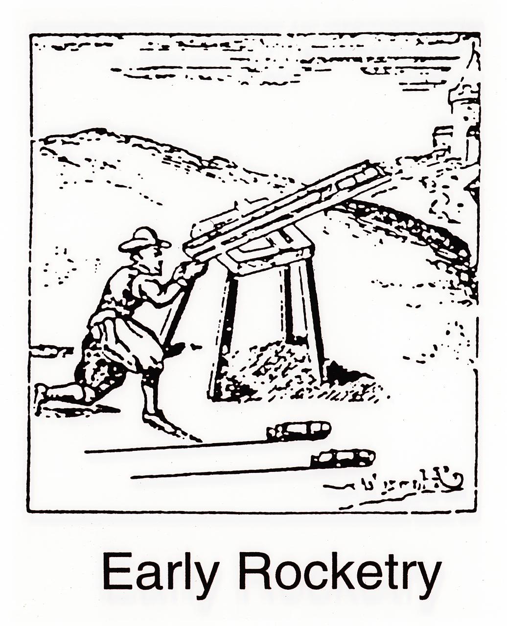
During the early introduction of rockets to Europe, they were used only as weapons. Enemy troops in India repulsed the British with rockets. Later, in Britain, Sir William Congreve developed a rocket that could fire to about 9,000 feet. The British fired Congreve rockets against the United States in the War of 1812.
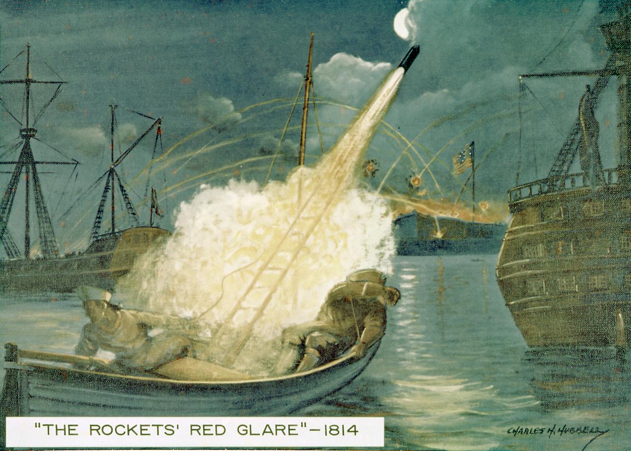
The British fired Congreve rockets against the United States in the War of 1812. As a result Francis Scott Key coined the phrase the "rocket's red glare." Congreve had used a 16-foot guide stick to help stabilize his rocket. William Hale, another British inventor, invented the stickless rocket in 1846. The U.S. Army used the Hale rocket more than 100 years ago in the war with Mexico. Rockets were also used to a limited extent by both sides in the American Civil War.
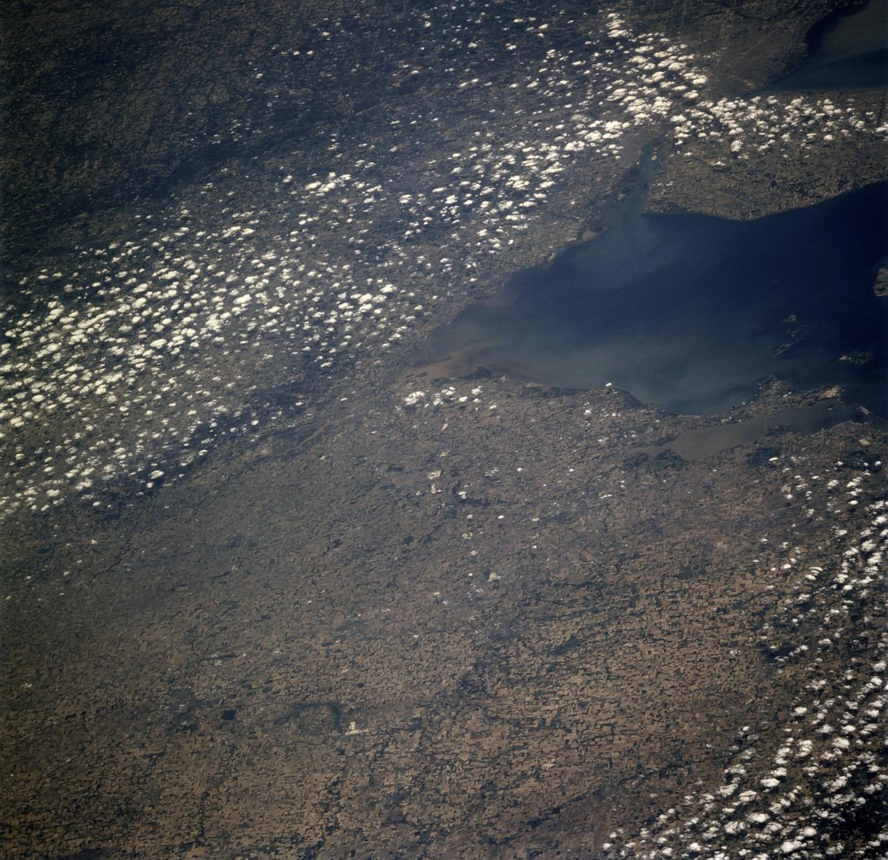
STS078-726-000A (20 June - 7 July 1996) --- Though the Space Shuttle program has been ongoing since 1981, few pictures have been taken from Earth-orbit that show the Toledo area featured in this 70mm frame from the STS-78/LMS-1 mission. The muddy Maumee River flows through Toledo into the west end of Lake Erie. Toledo is the seat (1835) of Lucas county, northwestern Ohio, and is a principal Great Lakes port, being the hub of a metropolitan complex that includes Ottawa Hills, Maumee, Oregon, Sylvania, Perrysburg, and Rossford. Fort Industry (1803-05) was located at the mouth of Swan Creek (now downtown Toledo), where permanent settlement was made after the War of 1812. Two villages, Port Lawrence (1817) and Vistula (1832), were consolidated in 1833 and named for Toledo, Spain. The united community was incorporated as a city in 1837. Its population in 1990 was 332,943. There are many smaller Ohio cities in the photo including Bowling Green, Findlay, Tiffin, Fremont, Fostoria, and Sandusky (right edge).
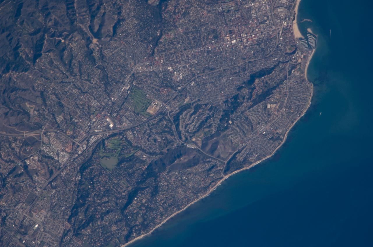
ISS018-E-011096 (6 Dec. 2008) --- Santa Barbara, CA metropolitan area, also known as the ?American Riviera?, is featured in this image photographed by an Expedition 18 crewmember on the International Space Station. The geographic setting of the city - between the Santa Barbara Channel to the south and the steep Santa Ynez Mountains to the north. The city was officially founded as a Spanish mission in 1786, and was incorporated into the United States from Mexico in 1848 following the Mexican-American War. The dramatic landscape of the city is the result of tectonic forces ? the Santa Barbara Channel is part of the boundary between the Pacific oceanic and North American continental crustal plates. Movement along the San Andreas Fault ? the actual zone of contact between the two plates ? over geologic time both raised the Santa Ynez range and lowered the seafloor, forming the deep Santa Barbara Channel. The city has experienced two earthquakes, one in 1812 and another in 1925 that caused significant damage. The urban street grid is defined by white and red rooftops at top center; to the southeast lie beaches and the boat slips of a large marina (top right). Two large golf courses, characterized by expanses of green grass, are visible at center. Low east-west trending hills that parallel the coastline are almost completely covered by residential and commercial development, lending a speckled appearance to the hillsides. Immediately offshore, giant kelp beds are the focus of the Santa Barbara Coastal Long Term Ecological Research site, part of the National Science Foundation?s Long Term Ecological Research Network.