DC-8 Airborne Laboratory in flight
Spatial distribution of snow water equivalent across the Tuolumne River Basin from April 10 to June 1, 2013 as measured by NASA Airborne Snow Observatory.
Spatial Distribution of Tuolumne River Basin Mapped by Airborne Snow Observatory
Mt. Dana and Dana Plateau in the Tuolumne River Basin within Yosemite National Park, Calif., as seen out the window of a Twin Otter aircraft carrying NASA Airborne Snow Observatory on April 3, 2013.
Tuolumne River Basin seen by NASA Airborne Snow Observatory
A natural color image of Mt. Lyell, the highest point in the Tuolumne River Basin top image is compared with a three-dimensional color composite image of Mt. Lyell from NASA Airborne Snow Observatory depicting snow depth bottom image.
Snow Depth Depicted on Mt. Lyell by NASA Airborne Snow Observatory
NASA's DC-8 Airborne Science research aircraft, in new colors and markings, takes off Feb. 24, 2004. Dark panels on lower fuselage are synthetic aperture radar antennas enabling sophisticated studies of Earth features.
NASA's DC-8 Airborne Science research aircraft, in new colors and markings, takes off Feb. 24, 2004
NASA's DC-8 Airborne Science research aircraft, in new colors and markings, in flight Feb. 24, 2004. Dark panels on lower fuselage are synthetic aperture radar antennas enabling sophisticated studies of Earth features.
NASA's DC-8 Airborne Science research aircraft, in new colors and markings, in flight Feb. 24, 2004
This radar image, taken by NASA Airborne Synthetic Aperture Radar AIRSAR in 2002, shows Lovea, Cambodia.
Radar Image with Color as Height, Lovea, Cambodia
This radar image, taken by NASA Airborne Synthetic Aperture Radar AIRSAR in 2002, shows Ancharn Kuy, Cambodia.
Radar Image with Color as Height, Ancharn Kuy, Cambodia
This radar image, taken by NASA Airborne Synthetic Aperture Radar AIRSAR in 2002, shows Nokor Pheas Trapeng, Cambodia.
Radar Image with Color as Height, Nokor Pheas Trapeng, Cambodia
NASA Airborne Snow Observatory measurements of snow water equivalent top image and snow albedo, or reflectivity bottom image for the Tuolumne River Basin in California Sierra Nevada on April 21, 2013.
Snow Water Equivalent for Tuolumne River Basin
NASA's large Airborne Science research aircraft, a modified DC-8 airliner, displayed new colors in a check flight Feb. 24, 2004, over its home base, the NASA Dryden Flight Research Center at Edwards AFB, California.
NASA's Airborne Science DC-8 displays new colors in a check flight over the Dryden Flight Research Center
This perspective view shows the caldera of the Okmok volcano in Alaska Aleutian Islands acquired by NASA Airborne Synthetic Aperture Radar AIRSAR in 2001.
Perspective View of Okmok Volcano, Aleutian Islands, Alaska #1
This radar image acquired by NASA Airborne Synthetic Aperture Radar AIRSAR in August, 2000, shows most of the northern coast of the island of Upolu in the nation of Western Samoa.
Upolu Island, Western Samoa
This radar image, taken by NASA Airborne Synthetic Aperture Radar AIRSAR in 2002, shows the Old Khmer Road Inrdratataka-Bakheng causeway in Cambodia.
Radar Image with Color as Height, Old Khmer Road, Cambodia
This perspective view, acquired by NASA Airborne Synthetic Aperture Radar AIRSAR, shows the effects of the June 15, 1991, eruption of Mt. Pinatubo.
Mt. Pinatubo, Phillippines - Perspective View
This radar image acquired by NASA Airborne Synthetic Aperture Radar AIRSAR in August, 2000, shows the western end of the island of Upolu in the nation of Western Samoa.
Upolu Island, Western Samoa
This image is a shaded relief mosaic of Umnak Island in Alaska Aleutian Islands acquired by NASA Airborne Synthetic Aperture Radar AIRSAR in 2001.
Shaded Relief Mosaic of Umnak Island, Aleutian Islands, Alaska
This perspective view shows the caldera of the Okmok volcano in Alaska Aleutian Islands acquired by NASA Airborne Synthetic Aperture Radar AIRSAR in 2001.
Perspective View of Okmok Volcano, Aleutian Islands, Alaska #2
This radar image acquired by NASA Airborne Synthetic Aperture Radar AIRSAR in 2001, shows the Altamaha River Delta in the Georgia Sea Islands.
Altamaha River Delta, Georgia Sea Islands
Media, including a puppeteer, participate in a press conference for the ATom airborne science mission which is studying the atmosphere.
AFRC2016-0192-08
Airborne Science personnel Walter Klein and David Bushman at the Mission Manager's console onboard NASA's DC-8 during the AirSAR 2004 campaign. AirSAR 2004 is a three-week expedition by an international team of scientists that will use an all-weather imaging tool, called the Airborne Synthetic Aperture Radar (AirSAR), in a mission ranging from the tropical rain forests of Central America to frigid Antarctica.
Airborne Science personnel Walter Klein and David Bushman at the Mission Manager's console onboard NASA's DC-8 during the AirSAR 2004 campaign
Orion leadership visited Airborne Systems in Santa Ana, California on March 5, 2015 to recognize the great work performed in support of Orion's first flight, Exploration Flight Test-1 (EFT-1).  Award presented to representative of Airborne Systems Orion Program Team. Part of Batch image transfer from Flickr.
Thank you Airborne!
Chilean Air Force Captain Saez and Dr. Tom Mace, DFRC Director of Airborne Sciences, discuss airborne science during a DC-8 ferry flight from Santiago to Punta Arenas, Chile. AirSAR 2004 is a three-week expedition by an international team of scientists that uses an all-weather imaging tool, called the Airborne Synthetic Aperture Radar (AirSAR) which is located onboard NASA's DC-8 airborne laboratory. Scientists from many parts of the world including NASA's Jet Propulsion Laboratory are combining ground research done in several areas in Central and South America with NASA's AirSAR technology to improve and expand on the quality of research they are able to conduct.  In South America and Antarctica, AirSAR collected imagery and data to help determine the contribution of Southern Hemisphere glaciers to sea level rise due to climate change. In Patagonia, researchers found this contribution had more than doubled from 1995 to 2000, compared to the previous 25 years. AirSAR data will make it possible to determine whether that trend is continuing or accelerating. AirSAR will also provide reliable information on ice shelf thickness to measure the contribution of the glaciers to sea level.
Chilean Air Force Captain Saez and Dr. Tom Mace discuss airborne science during a DC-8 ferry flight from Santiago to Punta Arenas, Chile
Dr. Tom Mace, NASA DFRC Director of Airborne Sciences, greets NASA Administrator Sean O'Keefe as he enters the DC-8 aircraft during a stop-off on the AirSAR 2004 Mesoamerica campaign. AirSAR 2004 Mesoamerica is a three-week expedition by an international team of scientists that will use an all-weather imaging tool, called the Airborne Synthetic Aperture Radar (AirSAR), in a mission ranging from the tropical rain forests of Central America to frigid Antarctica.
Dr. Tom Mace, DFRC Director of Airborne Sciences, greets NASA Administrator Sean O'Keefe as he enters the DC-8 aircraft during a stop-off on the AirSAR 2004 campaign
NASA's large Airborne Science research aircraft, a modified DC-8 airliner, displayed new colors in a check flight Feb. 24, 2004, over its home base, the NASA Dryden Flight Research Center at Edwards AFB, California.
NASA's Airborne Science DC-8, displaying new colors in a check flight Feb. 24, 2004, over the Dryden Flight Research Center
This map shows the abundance of airborne particulates, or aerosols, over Southern Africa during the period August 14-September 29, 2000, when NASA Terra satellite flew over the area.
Airborne Particulates over Southern Africa
SOFIA's primary mirror assembly rests in its transportation cradle prior to reinstallation in NASA's airborne laboratory on Oct. 8, 2008.
SOFIA's primary mirror assembly rests in its transportation cradle prior to reinstallation in NASA's airborne laboratory on Oct. 8, 2008
Engineers and technicians prepare SOFIA's German-built primary mirror assembly for reinstallation into NASA's 747SP airborne observatory.
Engineers and technicians prepare SOFIA's German-built primary mirror assembly for reinstallation into NASA's 747SP airborne observatory
This red plane is a DHC-3 Otter, the plane flown in NASA's Operation IceBridge-Alaska surveys of mountain glaciers in Alaska.  Credit: Chris Larsen, University of Alaska-Fairbanks  Over the past few decades, average global temperatures have been on the rise, and this warming is happening two to three times faster in the Arctic. As the region’s summer comes to a close, NASA is hard at work studying how rising temperatures are affecting the Arctic.   NASA researchers this summer and fall are carrying out three Alaska-based airborne research campaigns aimed at measuring greenhouse gas concentrations near Earth’s surface, monitoring Alaskan glaciers, and collecting data on Arctic sea ice and clouds. Observations from these NASA campaigns will give researchers a better understanding of how the Arctic is responding to rising temperatures.   The Arctic Radiation – IceBridge Sea and Ice Experiment, or ARISE, is a new NASA airborne campaign to collect data on thinning sea ice and measure cloud and atmospheric properties in the Arctic. The campaign was designed to address questions about the relationship between retreating sea ice and the Arctic climate.   Arctic sea ice reflects sunlight away from Earth, moderating warming in the region. Loss of sea ice means more heat from the sun is absorbed by the ocean surface, adding to Arctic warming. In addition, the larger amount of open water leads to more moisture in the air, which affects the formation of clouds that have their own effect on warming, either enhancing or reducing it. Read more: <a href="http://www.nasa.gov/earthrightnow" rel="nofollow">www.nasa.gov/earthrightnow</a>  <b><a href="http://www.nasa.gov/audience/formedia/features/MP_Photo_Guidelines.html" rel="nofollow">NASA image use policy.</a></b>  <b><a href="http://www.nasa.gov/centers/goddard/home/index.html" rel="nofollow">NASA Goddard Space Flight Center</a></b> enables NASA’s mission through four scientific endeavors: Earth Science, Heliophysics, Solar System Exploration, and Astrophysics. Goddard plays a leading role in NASA’s accomplishments by contributing compelling scientific knowledge to advance the Agency’s mission. <b>Follow us on <a href="http://twitter.com/NASAGoddardPix" rel="nofollow">Twitter</a></b> <b>Like us on <a href="http://www.facebook.com/pages/Greenbelt-MD/NASA-Goddard/395013845897?ref=tsd" rel="nofollow">Facebook</a></b> <b>Find us on <a href="http://instagram.com/nasagoddard?vm=grid" rel="nofollow">Instagram</a></b>
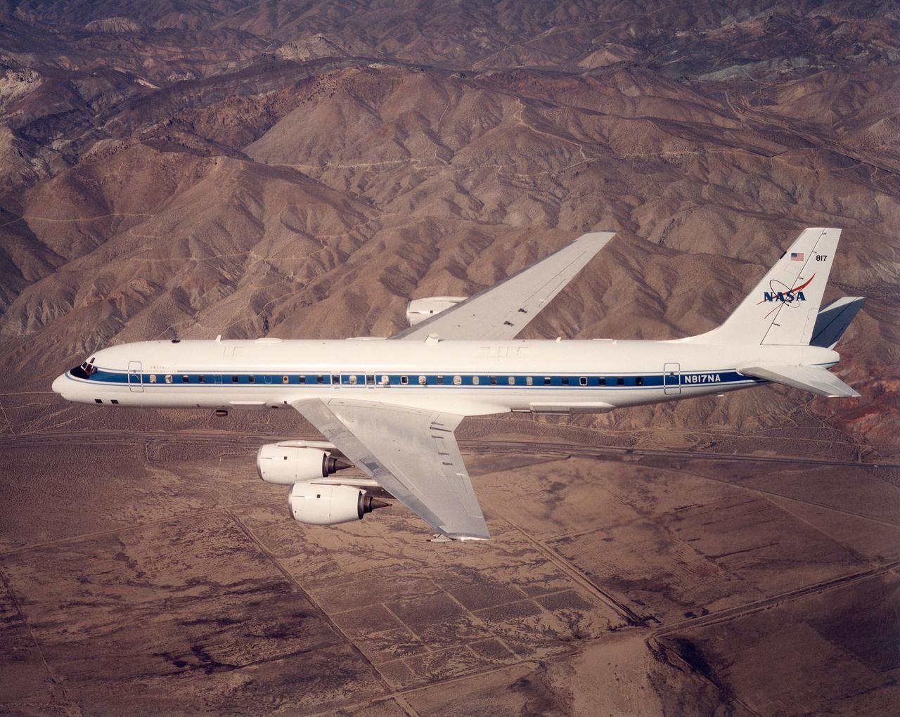
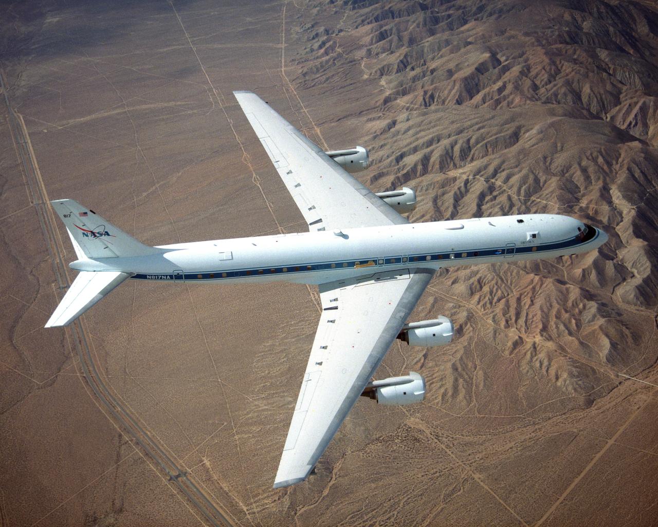
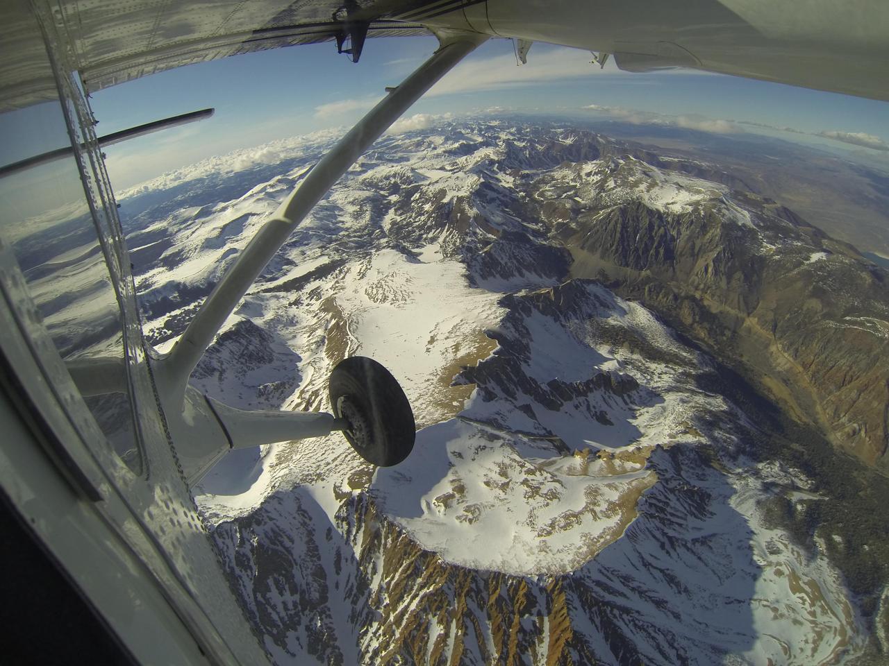
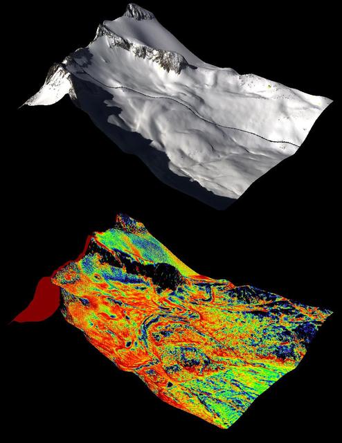
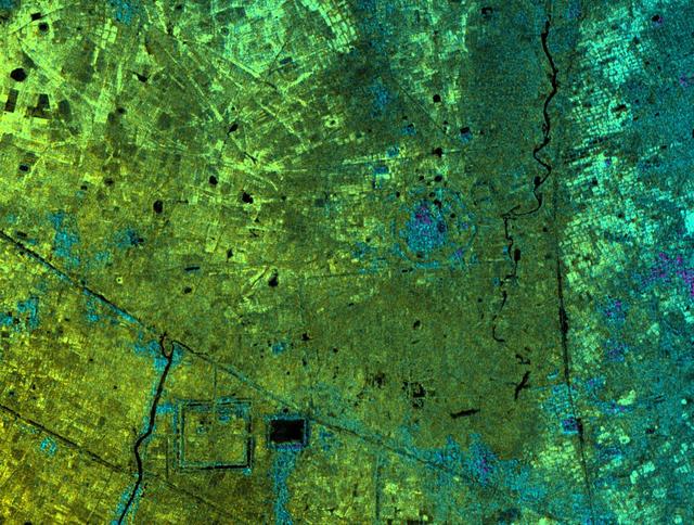
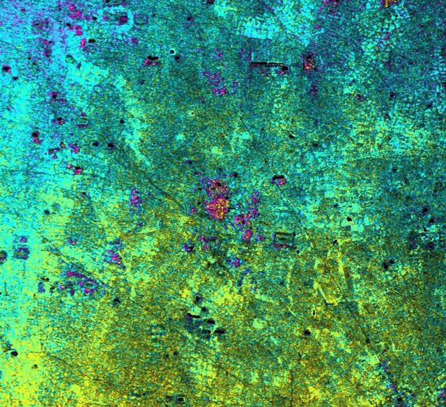
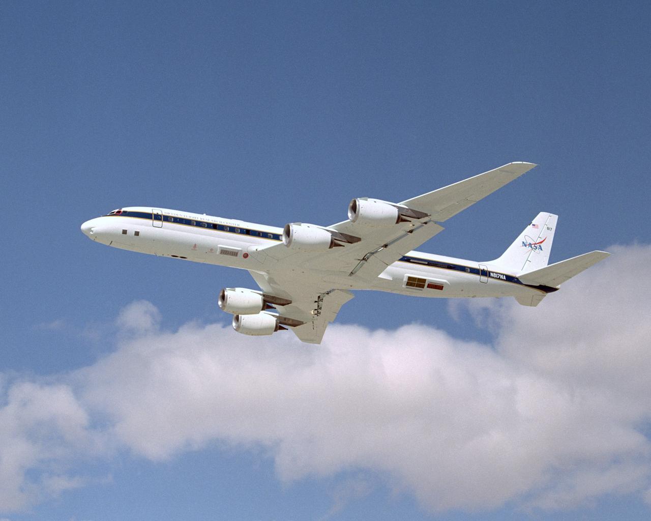
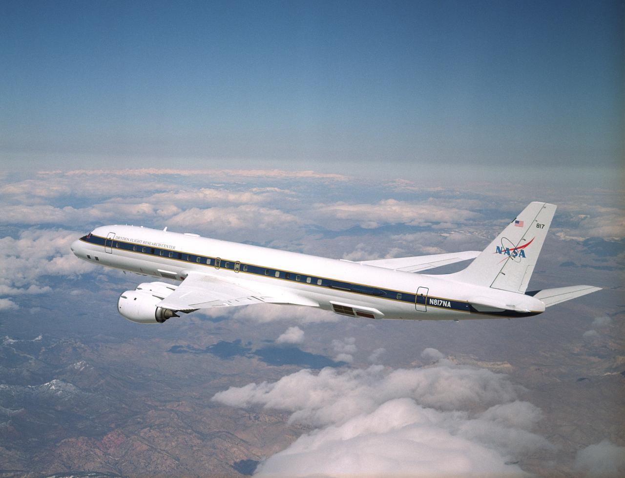
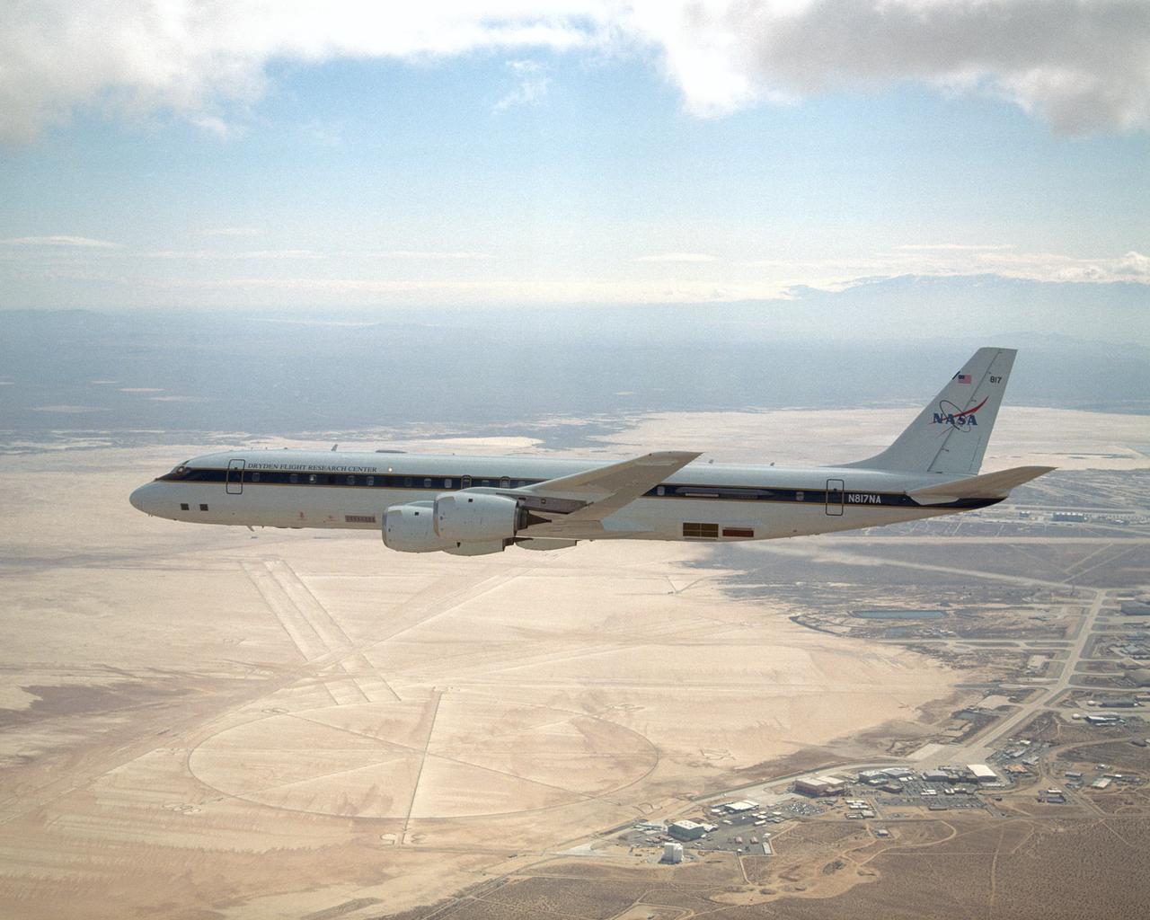
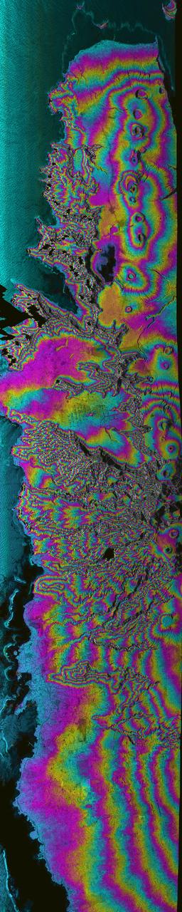
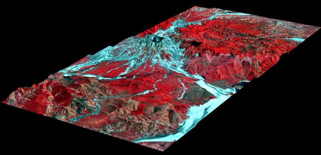
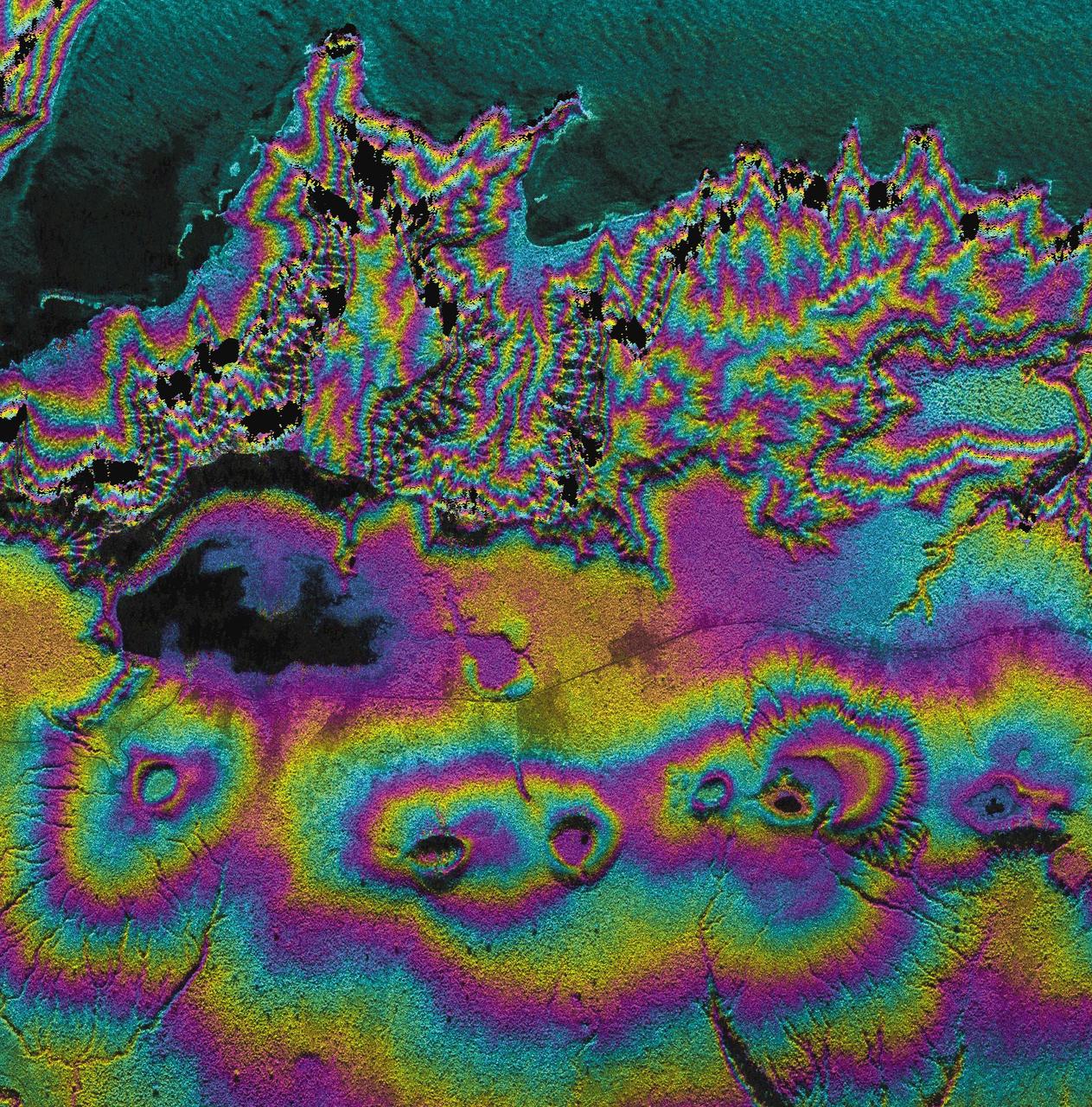
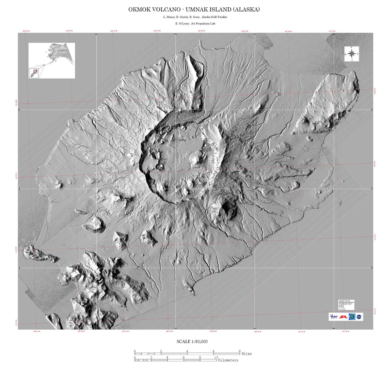
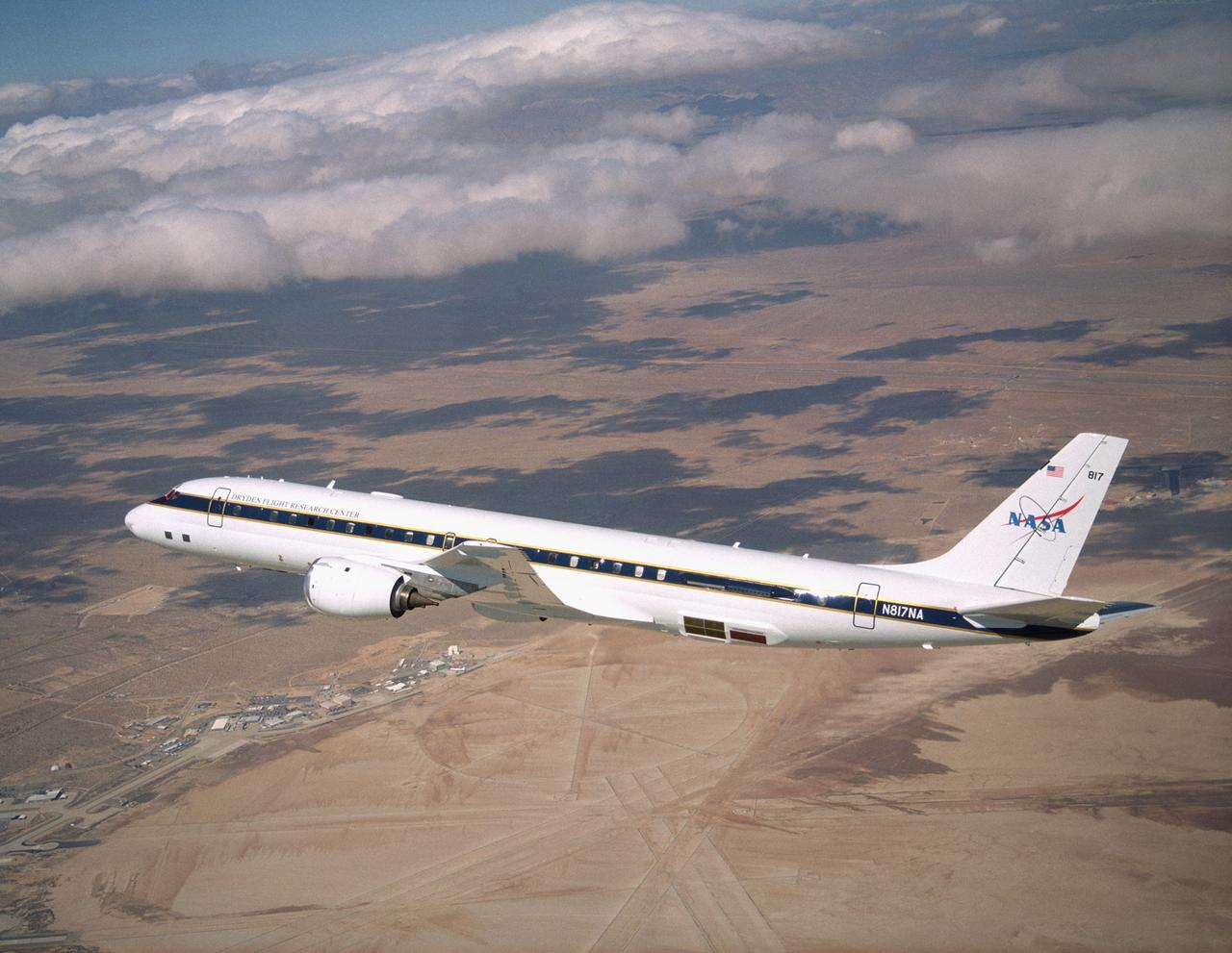
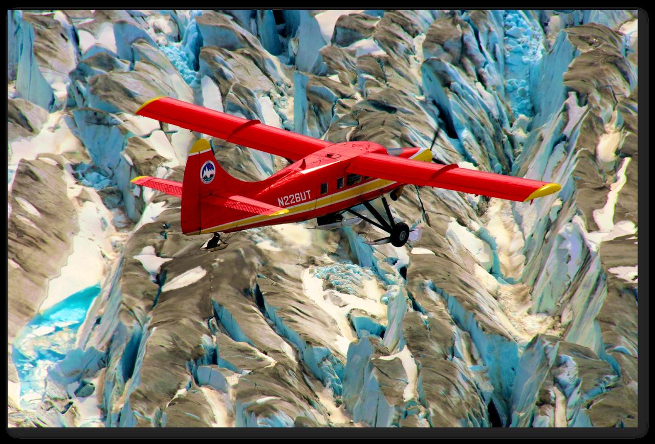
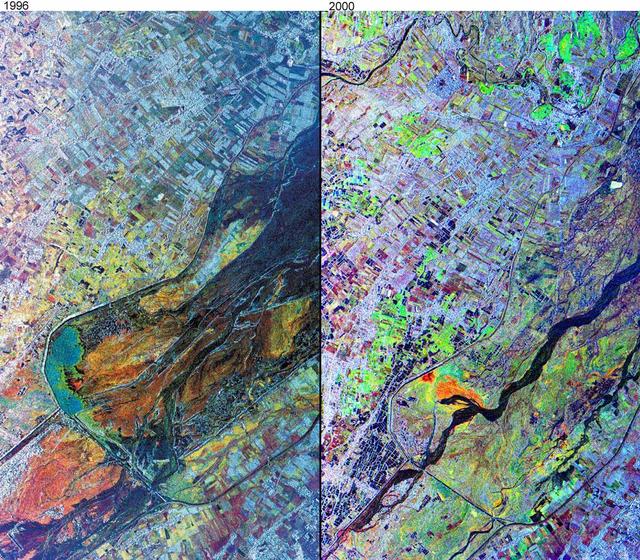
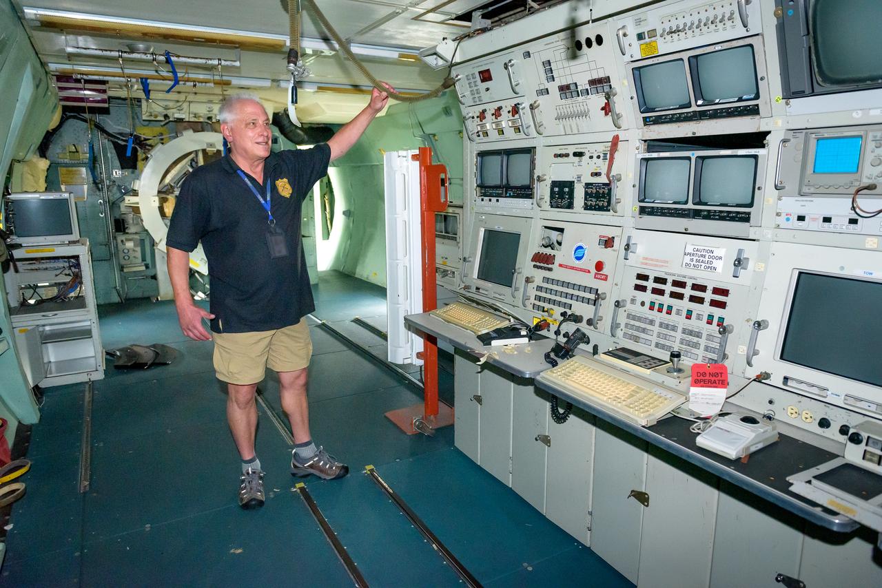
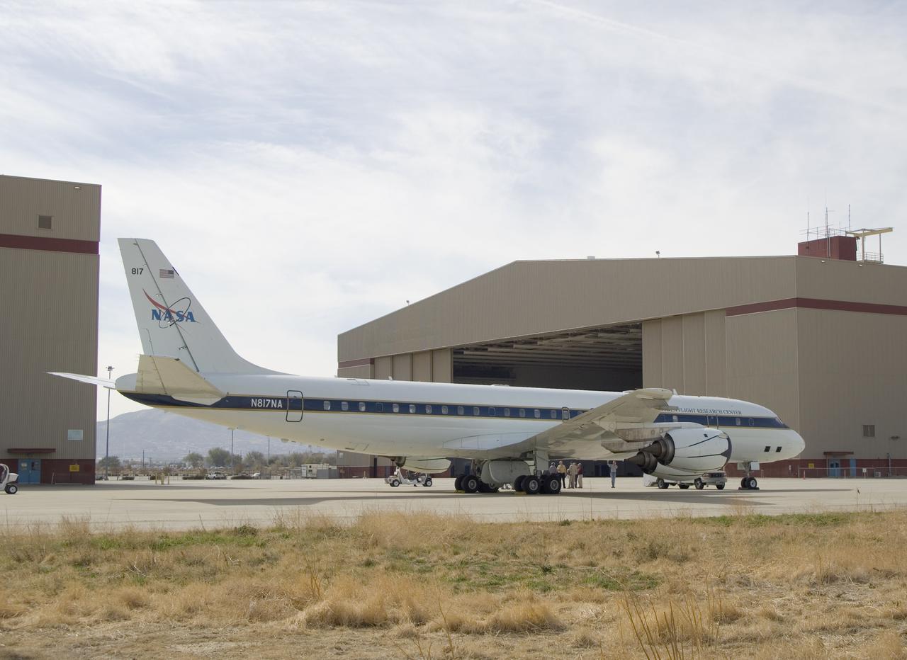
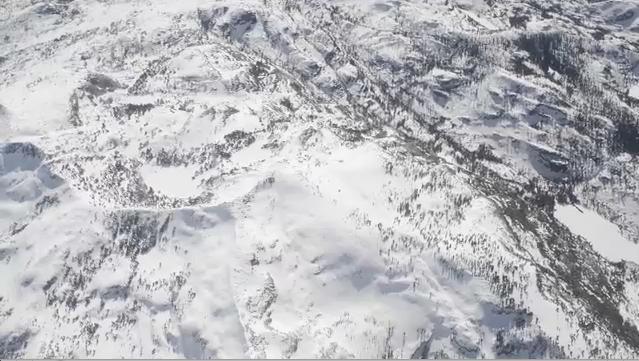
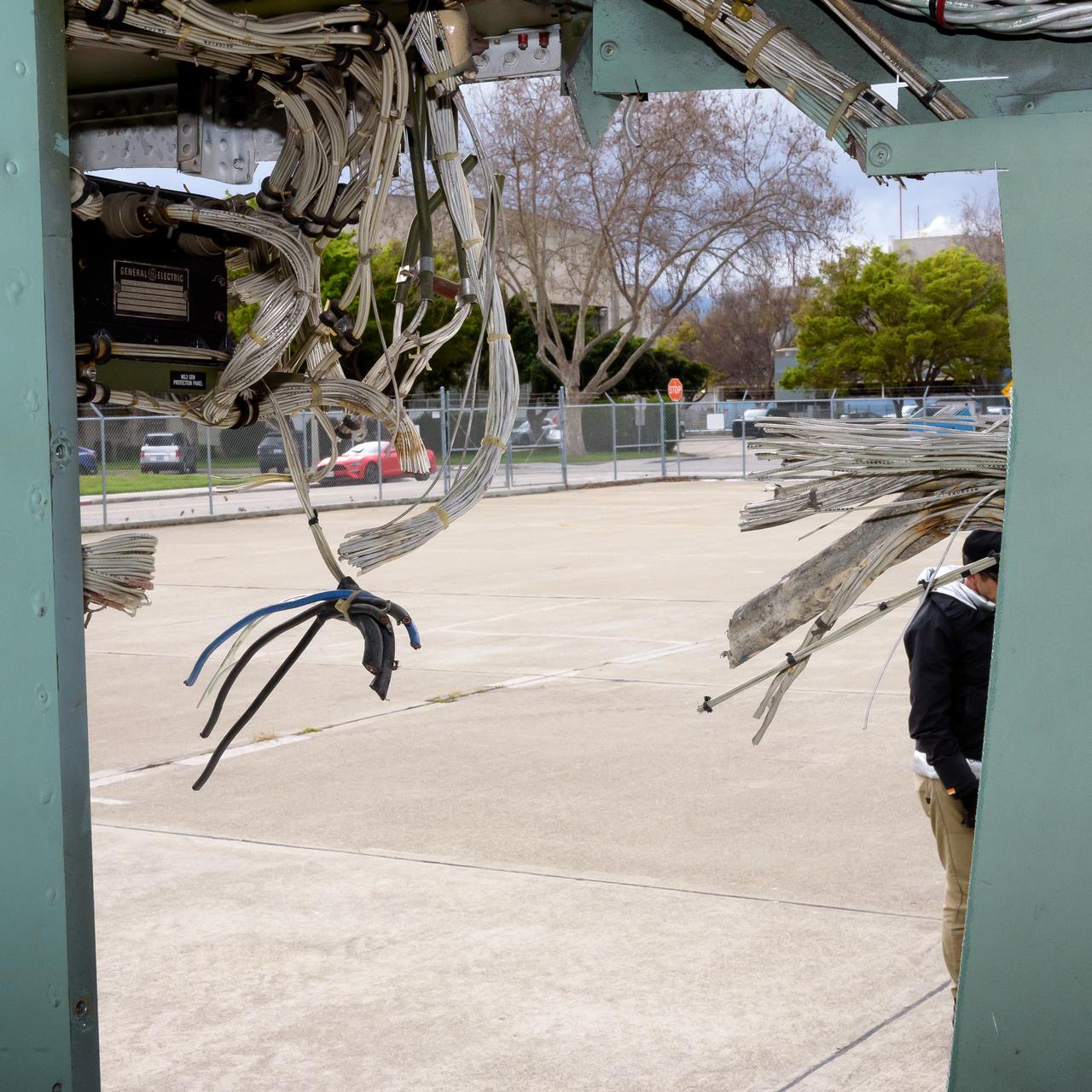
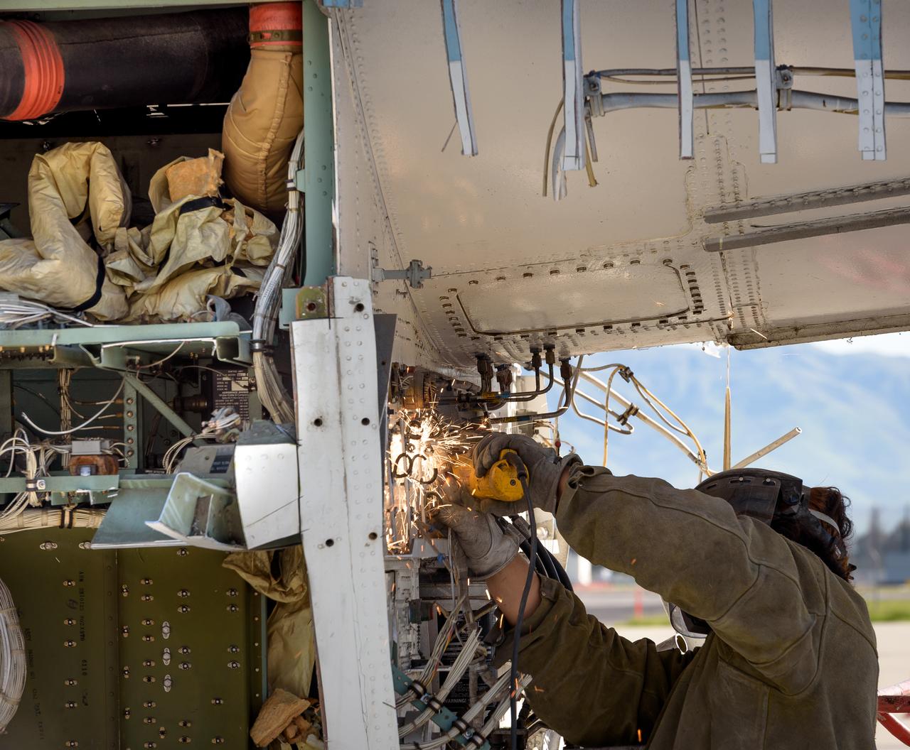
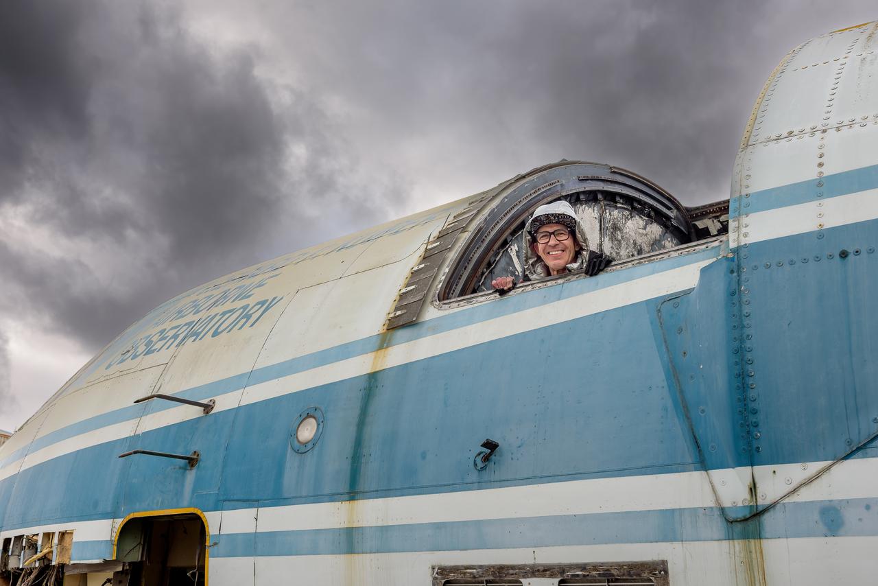
NASA Airborne Campaigns Focus on Climate Impacts in the Arctic
This image, taken by NASA Airborne Synthetic Aperture Radar AIRSAR in 2002, is of Cambodia Angkor region revealing a temple upper-right not depicted on early 19th Century French archeological survey maps and American topographic maps.
Radar Image with Color as Height, Sman Teng, Temple, Cambodia
This image is a perspective view acquired by NASA Airborne Synthetic Aperture Radar AIRSAR in 2001, is of Umnak Island, one of Alaska Aleutian Islands. The active Okmok volcano appears in the center of the island.
Perspective View of Umnak Island, Aleutian Islands, Alaska #2
This image is a perspective view acquired by NASA Airborne Synthetic Aperture Radar AIRSAR in 2001, is of Umnak Island, one of Alaska Aleutian Islands. The active Okmok volcano appears in the center of the island.
Perspective View of Umnak Island, Aleutian Islands, Alaska #1
This sequence of three images in northern Colorado, taken by NASA Airborne Synthetic Aperture Radar AIRSAR in 2002, shows Fraser, Colorado, before snowfall, the morning after snow, and after the snow melted.
Fraser, Colorado
This comparison image, acquired by NASA Airborne Synthetic Aperture Radar AIRSAR November, 1996 and September, 2000, shows the effects of the June 15, 1991, eruption of Mt. Pinatubo.
Mt. Pinatubo, Phillipines - Comparison of November, 1996 and September, 2000
This radar image, taken by NASA Airborne Synthetic Aperture Radar AIRSAR in 2002, shows Hariharalaya, the ancient 9th Century A.D. capitol of the Khmer in Cambodia in the upper center portion.
Radar Image with Color as Height, Hariharalaya, Cambodia
Media observe as ground crews tow NASA’s DC-8 airborne laboratory into its Palmdale, California hangar.
AFRC2016-0192-30
Richard Kolyer unfolds the drone and prepares it for flight around the modified C-141 Kuiper Airborne Observatory, (KAO) (NASA-714).
Kuiper Airborne Observatory (KAO) Demolition
Mission Director Stephen Patterson at his workstation at the console of the modified C-141 Kuiper Airborne Observatory, (KAO) (NASA-714).
Kuiper Airborne Observatory (KAO) Demolition
Demolition of the modified C-141 Kuiper Airborne Observatory, (KAO) (NASA-714), on the N211 apron at Moffett Field, California.
Kuiper Airborne Observatory (KAO) Demolition
The modified C-141 Kuiper Airborne Observatory, (KAO) (NASA-714), is demolished on the N211 apron at Moffett Field, California.
Kuiper Airborne Observatory (KAO) Demolition
The modified C-141 Kuiper Airborne Observatory, (KAO) (NASA-714), is demolished on the N211 apron at Moffett Field, California.
Kuiper Airborne Observatory (KAO) Demolition
The modified C-141 Kuiper Airborne Observatory, (KAO) (NASA-714), is demolished on the N211 apron at Moffett Field, California.
Kuiper Airborne Observatory (KAO) Demolition
The modified C-141 Kuiper Airborne Observatory, (KAO) (NASA-714), is demolished on the N211 apron at Moffett Field, California.
Kuiper Airborne Observatory (KAO) Demolition
Rear view of the modified C-141 Kuiper Airborne Observatory, (KAO) (NASA-714), on the N211 apron at Moffett Field, California.
Kuiper Airborne Observatory (KAO) Demolition
Aircraft demolition of the modified C-141 Kuiper Airborne Observatory, (KAO) (NASA-714), on the N211 apron at Moffett Field, California.
Kuiper Airborne Observatory (KAO) Demolition
Aircraft demolition of the modified C-141 Kuiper Airborne Observatory, (KAO) (NASA-714), on the N211 apron at Moffett Field, California.
Kuiper Airborne Observatory (KAO) Demolition
echnicians lift SOFIA's primary mirror assembly above NASA's 747SP airborne astronomy aircraft just prior to installation in the telescope cavity.
echnicians lift SOFIA's primary mirror assembly above NASA's 747SP airborne astronomy aircraft just prior to installation in the telescope cavity
SOFIA's primary mirror assembly is lifted above wing level prior to its reinstallation in the telescope cavity of NASA's 747 airborne observatory Oct. 8, 2008.
SOFIA's primary mirror assembly is lifted above wing level prior to its reinstallation in the telescope cavity of NASA's 747 airborne observatory Oct. 8, 2008
Agricultural fields spread out beyond NASA's DC-8 airborne science laboratory as it heads for landing at Air Force Plant 42 in Palmdale, Calif.
NASA's DC-8 airborne science laboratory is shadowed by a NASA F/A-18 chase plane during a flyover of the Dryden Aircraft Operations Facility in Palmdale, Calif.
NASA's DC-8 airborne science laboratory soars over the Dryden Flight Research Center upon its return to the center on Nov. 8, 2007.
NASA's DC-8 airborne science laboratory soars over the Dryden Flight Research Center upon its return to the center on Nov. 8, 2007
NASA's DC-8 airborne science laboratory has become the first science aircraft to be based at the Dryden Aircraft Operations Facility in Palmdale, Calif.
NASA's DC-8 airborne science laboratory is shadowed by a NASA F/A-18 chase plane during a flyover of the Dryden Aircraft Operations Facility in Palmdale, Calif.
NASA Airborne Snow Observatory is two instruments combined that provides information on every patch of snow, including how deep it is and how fast it melting. This is a frame from an animation.
Measuring Snowpack from the Sky
NASA’s DC-8 aircraft prior to launch from Carlos Ibanez International Airport in Punta Arenas, Chile, during AirSAR 2004. AirSAR 2004 is a three-week expedition in Central and South America by an international team of scientists that is using an all-weather imaging tool, called the Airborne Synthetic Aperture Radar (AirSAR), located onboard NASA's DC-8 airborne laboratory. Scientists from many parts of the world are combining ground research with NASA's AirSAR technology to improve and expand on the quality of research they are able to conduct.
NASA’s DC-8 aircraft prior to launch from Carlos Ibanez International Airport in Punta Arenas, Chile, during AirSAR 2004
NASA’s DC-8 aircraft at Carlos Ibanez International Airport in Punta Arenas, Chile. A portion of AirSAR hardware is visible on the left rear fuselage. AirSAR 2004 is a three-week expedition in Central and South America by an international team of scientists that is using an all-weather imaging tool, called the Airborne Synthetic Aperture Radar (AirSAR), located onboard NASA's DC-8 airborne laboratory. Scientists from many parts of the world are combining ground research with NASA's AirSAR technology to improve and expand on the quality of research they are able to conduct.
NASA’s DC-8 aircraft at Carlos Ibanez International Airport in Punta Arenas, Chile. A portion of AirSAR hardware is visible on the left rear fuselage
A penguin near Punta Arena, Chile, photographed in its natural summer habitat during NASA's AirSAR 2004 campaign. AirSAR 2004 is a three-week expedition in Central and South America by an international team of scientists that is using an all-weather imaging tool, called the Airborne Synthetic Aperture Radar (AirSAR), located onboard NASA's DC-8 airborne laboratory. Scientists from many parts of the world are combining ground research with NASA's AirSAR technology to improve and expand on the quality of research they are able to conduct.
A penguin near Punta Arena, Chile, photographed in its natural summer habitat during NASA's AirSAR 2004 campaign
Removing the skin from the airframe of the modified C-141 Kuiper Airborne Observatory, (KAO) (NASA-714), on the N211 apron at Moffett Field, California.
Kuiper Airborne Observatory (KAO) Demolition
The tail section of the modified C-141 Kuiper Airborne Observatory, (KAO) (NASA-714), severed from the fuselage on the N211 apron of Moffett Field, California.
Kuiper Airborne Observatory (KAO) Demolition
The tail section of the modified C-141 Kuiper Airborne Observatory, (KAO) (NASA-714), severed from the fuselage on the N211 apron of Moffett Field, California.
Kuiper Airborne Observatory (KAO) Demolition
The telescope mount in the modified C-141 Kuiper Airborne Observatory, (KAO) (NASA-714), during its demolition on the N211 apron at Moffett Field, California.
Kuiper Airborne Observatory (KAO) Demolition
The cockpit of the modified C-141 Kuiper Airborne Observatory, (KAO) (NASA-714), is separated from the airframe on the N211 apron at Moffett Field, California.
Kuiper Airborne Observatory (KAO) Demolition
Close-up front view of the modified C-141 Kuiper Airborne Observatory, (KAO) (NASA-714), on the N211 apron at Moffett Field, California.
Kuiper Airborne Observatory (KAO) Demolition
Cables in the modified C-141 Kuiper Airborne Observatory, (KAO) (NASA-714), severed prior to removing the cockpit on the N211 apron at Moffett Field, California.
Kuiper Airborne Observatory (KAO) Demolition
The cockpit of the modified C-141 Kuiper Airborne Observatory, (KAO) (NASA-714), is separated from the airframe on the N211 apron at Moffett Field, California.
Kuiper Airborne Observatory (KAO) Demolition
Cables in the modified C-141 Kuiper Airborne Observatory, (KAO) (NASA-714), severed prior to removing the cockpit on the N211 apron at Moffett Field, California.
Kuiper Airborne Observatory (KAO) Demolition
Monty Miranda in the telescope reticle during the demolition of the modified C-141 Kuiper Airborne Observatory, (KAO) (NASA-714), on the N211 apron at Moffett Field, California.
Kuiper Airborne Observatory (KAO) Demolition
The cockpit of the modified C-141 Kuiper Airborne Observatory, (KAO) (NASA-714), is separated from the airframe on the N211 apron at Moffett Field, California.
Kuiper Airborne Observatory (KAO) Demolition
Removing the skin from the airframe of the modified C-141 Kuiper Airborne Observatory, (KAO) (NASA-714), on the N211 apron at Moffett Field, California.
Kuiper Airborne Observatory (KAO) Demolition
Photo composite (11 frames) of the modified C-141 Kuiper Airborne Observatory, (KAO) (NASA-714), beneath the wing on the N211 apron at Moffett Field, California.
Kuiper Airborne Observatory (KAO) Demolition
Cables in the modified C-141 Kuiper Airborne Observatory, (KAO) (NASA-714), severed prior to removing the cockpit on the N211 apron at Moffett Field, California.
Kuiper Airborne Observatory (KAO) Demolition
The skin is removed from the airframe of the modified C-141 Kuiper Airborne Observatory, (KAO) (NASA-714), on the N211 apron at Moffett Field, California.
Kuiper Airborne Observatory (KAO) Demolition
Cables in the modified C-141 Kuiper Airborne Observatory, (KAO) (NASA-714), severed prior to removing the cockpit on the N211 apron at Moffett Field, California.
Kuiper Airborne Observatory (KAO) Demolition
The tail section of the modified C-141 Kuiper Airborne Observatory, (KAO) (NASA-714), severed from the fuselage on the N211 apron of Moffett Field, California.
Kuiper Airborne Observatory (KAO) Demolition
The cockpit of the modified C-141 Kuiper Airborne Observatory, (KAO) (NASA-714), is separated from the airframe on the N211 apron at Moffett Field, California.
Kuiper Airborne Observatory (KAO) Demolition
Cables in the modified C-141 Kuiper Airborne Observatory, (KAO) (NASA-714), severed prior to removing the cockpit on the N211 apron at Moffett Field, California.
Kuiper Airborne Observatory (KAO) Demolition
Cables in the modified C-141 Kuiper Airborne Observatory, (KAO) (NASA-714), severed prior to removing the cockpit on the N211 apron at Moffett Field, California.
Kuiper Airborne Observatory (KAO) Demolition
Profile view of the modified C-141 Kuiper Airborne Observatory, (KAO) (NASA-714), with the telescope aperture open on the N211 apron at Moffett Field, California.
Kuiper Airborne Observatory (KAO) Demolition
Removing the skin from the airframe of the modified C-141 Kuiper Airborne Observatory, (KAO) (NASA-714), on the N211 apron at Moffett Field, California.
Kuiper Airborne Observatory (KAO) Demolition
Richard Kolyer, left, with Jonas Jonsson guide the drone to land behind the modified C-141 Kuiper Airborne Observatory, (KAO) (NASA-714), on the N211 apron.
Kuiper Airborne Observatory (KAO) Demolition
Richard Kolyer, left, with Jonas Jonsson guide the drone to land behind the modified C-141 Kuiper Airborne Observatory, (KAO) (NASA-714), on the N211 apron.
Kuiper Airborne Observatory (KAO) Demolition
The console holds the mission director’s workstation, left, the telescope operator’s station, and the data systems operator’s station, right, of the Kuiper Airborne Observatory, (KAO) (NASA-714).
Kuiper Airborne Observatory (KAO) Demolition
Removing the skin from the airframe of the modified C-141 Kuiper Airborne Observatory, (KAO) (NASA-714), on the N211 apron at Moffett Field, California.
Kuiper Airborne Observatory (KAO) Demolition
The tail section of the modified C-141 Kuiper Airborne Observatory, (KAO) (NASA-714), severed from the fuselage on the N211 apron of Moffett Field, California.
Kuiper Airborne Observatory (KAO) Demolition
Forward view of the modified C-141 Kuiper Airborne Observatory, (KAO) (NASA-714), after the cockpit is removed on the N211 apron at Moffett Field, California.
Kuiper Airborne Observatory (KAO) Demolition
The cockpit of the modified C-141 Kuiper Airborne Observatory, (KAO) (NASA-714), is separated from the airframe on the N211 apron at Moffett Field, California.
Kuiper Airborne Observatory (KAO) Demolition
Dr. Tom Mace, NASA DFRC Director of Airborne Sciences, and Walter Klein(far right), NASA DFRC Airborne Science Mission Manager, brief John Danilovich, US Ambassador to Costa Rica, and NASA Administrator Sean O'Keefe onboard NASA's DC-8 during a stop-off on the AirSAR 2004 Mesoamerica campaign. AirSAR 2004 Mesoamerica is a three-week expedition by an international team of scientists that will use an all-weather imaging tool, called the Airborne Synthetic Aperture Radar (AirSAR), in a mission ranging from the tropical rain forests of Central America to frigid Antarctica.
Tom Mace and Walter Klein(far right) brief John Danilovich, US Ambassador to Costa Rica, and NASA Administrator Sean O'Keefe onboard NASA's DC-8
The ER-2 conducted over 80 flight hours in service of the Plankton, Aerosol, Cloud, ocean Ecosystem Postlaunch Airborne eXperiment (PACE-PAX) mission. The ER-2 is uniquely qualified to conduct the high-altitude scientific flights that this project required, and is based at NASA’s Armstrong Flight Research Center in Edwards, California.
ER-2 prepares for takeoff for airborne science mission, PACE-PAX
jsc2020e004941 (2/7/2020) --- A preflight view of the Airborne Particulate Monitor (APM) engineering unit. APM technology has applications in environmental monitoring and air pollution studies on Earth. Its combination of two instruments into one box offers a wider range of particle size measurement than other commercially available instruments.
Airborne Particulate Monitor (APM)
Orion leadership visited Airborne Systems in Santa Ana, California on March 5, 2015 to recognize the great work performed in support of Orion's first flight, Exploration Flight Test-1 (EFT-1). Part of Batch image transfer from Flickr.
Thank you Airborne!
Orion leadership visited Airborne Systems in Santa Ana, California on March 5, 2015 to recognize the great work performed in support of Orion's first flight, Exploration Flight Test-1 (EFT-1).  Part of Batch image transfer from Flickr.
Thank you Airborne!
Orion leadership visited Airborne Systems in Santa Ana, California on March 5, 2015 to recognize the great work performed in support of Orion's first flight, Exploration Flight Test-1 (EFT-1).  Part of Batch image transfer from Flickr.
Thank you Airborne!
Orion leadership visited Airborne Systems in Santa Ana, California on March 5, 2015 to recognize the great work performed in support of Orion's first flight, Exploration Flight Test-1 (EFT-1). Part of Batch image transfer from Flickr.
Thank you Airborne!
Orion leadership visited Airborne Systems in Santa Ana, California on March 5, 2015 to recognize the great work performed in support of Orion's first flight, Exploration Flight Test-1 (EFT-1). Part of Batch image transfer from Flickr.
Thank you Airborne!
Orion leadership visited Airborne Systems in Santa Ana, California on March 5, 2015 to recognize the great work performed in support of Orion's first flight, Exploration Flight Test-1 (EFT-1).  Part of Batch image transfer from Flickr.
Thank you Airborne!
Orion leadership visited Airborne Systems in Santa Ana, California on March 5, 2015 to recognize the great work performed in support of Orion's first flight, Exploration Flight Test-1 (EFT-1).  Part of Batch image transfer from Flickr.
Thank you Airborne!